

The best hiking routes in Untere Murg (LSG)
Discover the best walks in Untere Murg (LSG). 15 routes on the map, with descriptions, photos and GPX.
About Untere Murg (LSG)
Untere Murg (LSG) protects the lower valley floor of the Murg river, where the water leaves the steep Black Forest and flows into the flat Rhine plain. Unlike the wild, rocky gorges found upstream, this landscape is characterized by a wide, flat alluvial plain. Walkers will find a mix of damp riverside woodlands, gravel banks, and cultivated meadows. The river itself has been heavily modified by historical engineering, which is visible in the straight dikes and artificial channels that line the paths, though some sections still retain gravel islands and willow thickets.
Read more
About Untere Murg (LSG)
Untere Murg (LSG) protects the lower valley floor of the Murg river, where the water leaves the steep Black Forest and flows into the flat Rhine plain. Unlike the wild, rocky gorges found upstream, this landscape is characterized by a wide, flat alluvial plain. Walkers will find a mix of damp riverside woodlands, gravel banks, and cultivated meadows. The river itself has been heavily modified by historical engineering, which is visible in the straight dikes and artificial channels that line the paths, though some sections still retain gravel islands and willow thickets.
Read moreUntere Murg (LSG) protects the lower valley floor of the Murg river, where the water leaves the steep Black Forest and flows into the flat Rhine plain. Unlike the wild, rocky gorges found upstream, this landscape is characterized by a wide, flat alluvial plain. Walkers will find a mix of damp riverside woodlands, gravel banks, and cultivated meadows. The river itself has been heavily modified by historical engineering, which is visible in the straight dikes and artificial channels that line the paths, though some sections still retain gravel islands and willow thickets.
Underfoot, the terrain is mostly flat and predictable, consisting of wide, packed gravel agricultural tracks and paved service roads running along the flood embankments. There are very few narrow dirt trails or steep climbs here. The walking experience is defined by this open, agricultural character, where fields of crops and orchards sit directly alongside the wooded river corridor. It is a working landscape rather than a remote wilderness.
In late spring, particularly around May, the riverside forests are filled with wild garlic, which creates a distinct scent along the shaded paths. The area is easily accessible and popular with local cyclists and dog walkers, meaning the paths near the towns are rarely empty. Choose this area if you prefer easy, level walking through a mix of farmland and river woods, but look elsewhere if you are seeking rugged terrain or deep forest isolation.
Hiking routes in Untere Murg (LSG) (15)
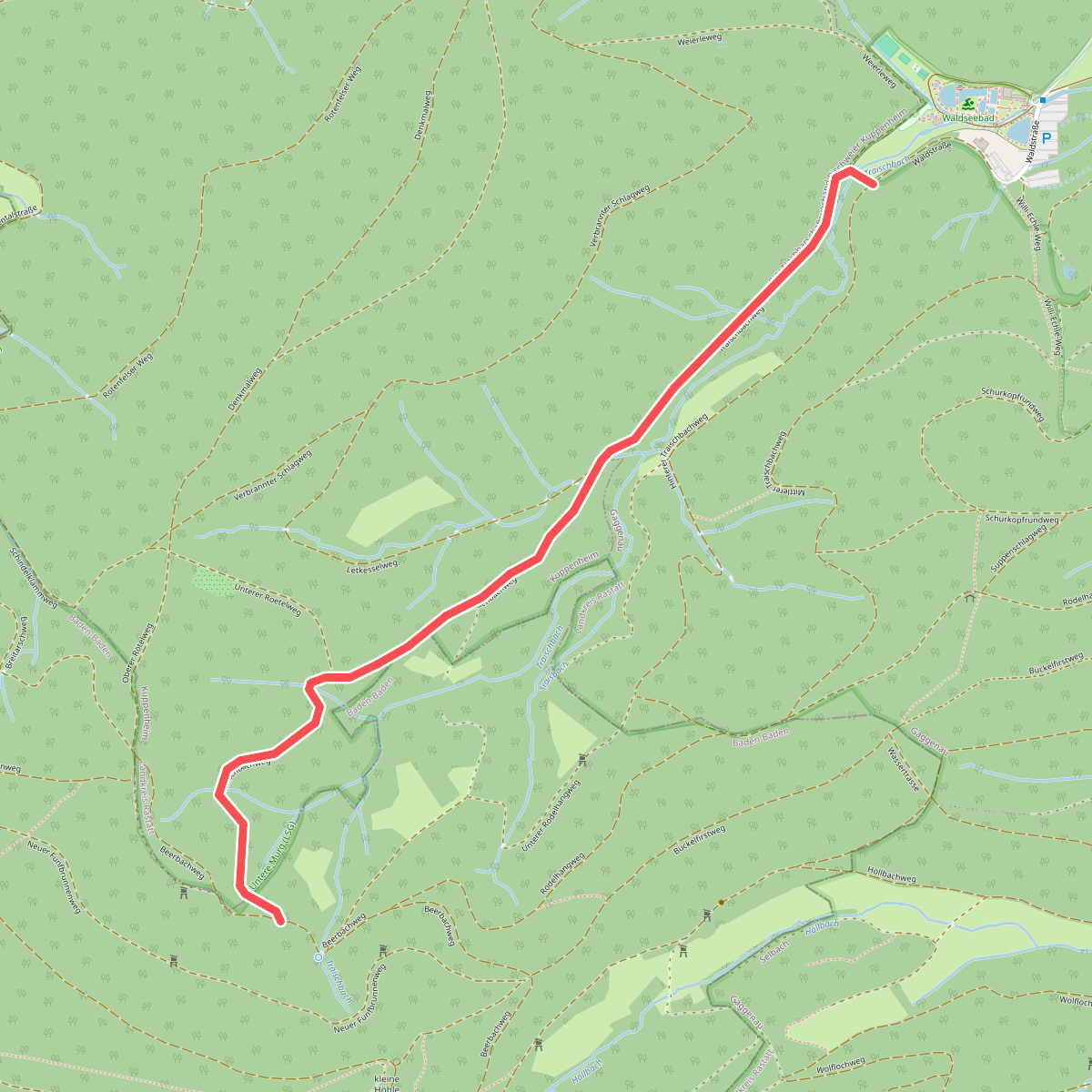
#1. Abzweig Traisbachweg - Traischbachtal
Baden-Baden,Kuppenheim,Gaggenau
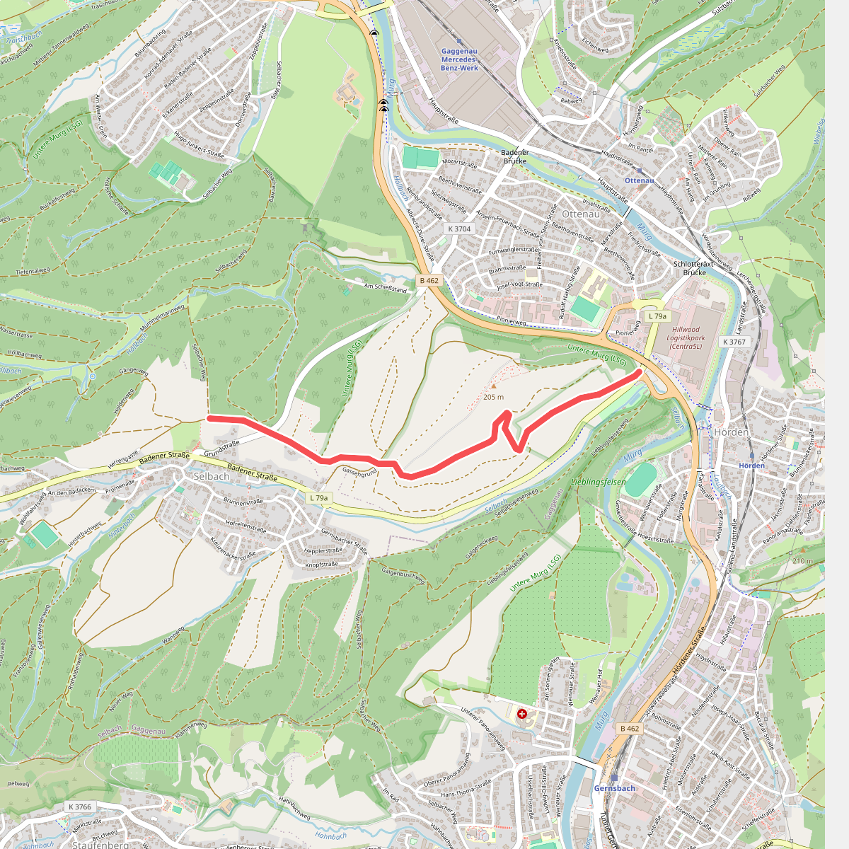
#2. Am Langenberg - Selbacher Höhe
Gaggenau
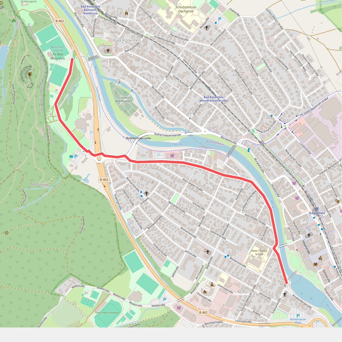
#3. Bad Rotenfels Sportplatz - Gaggenau Evangelische Kirche
Gaggenau
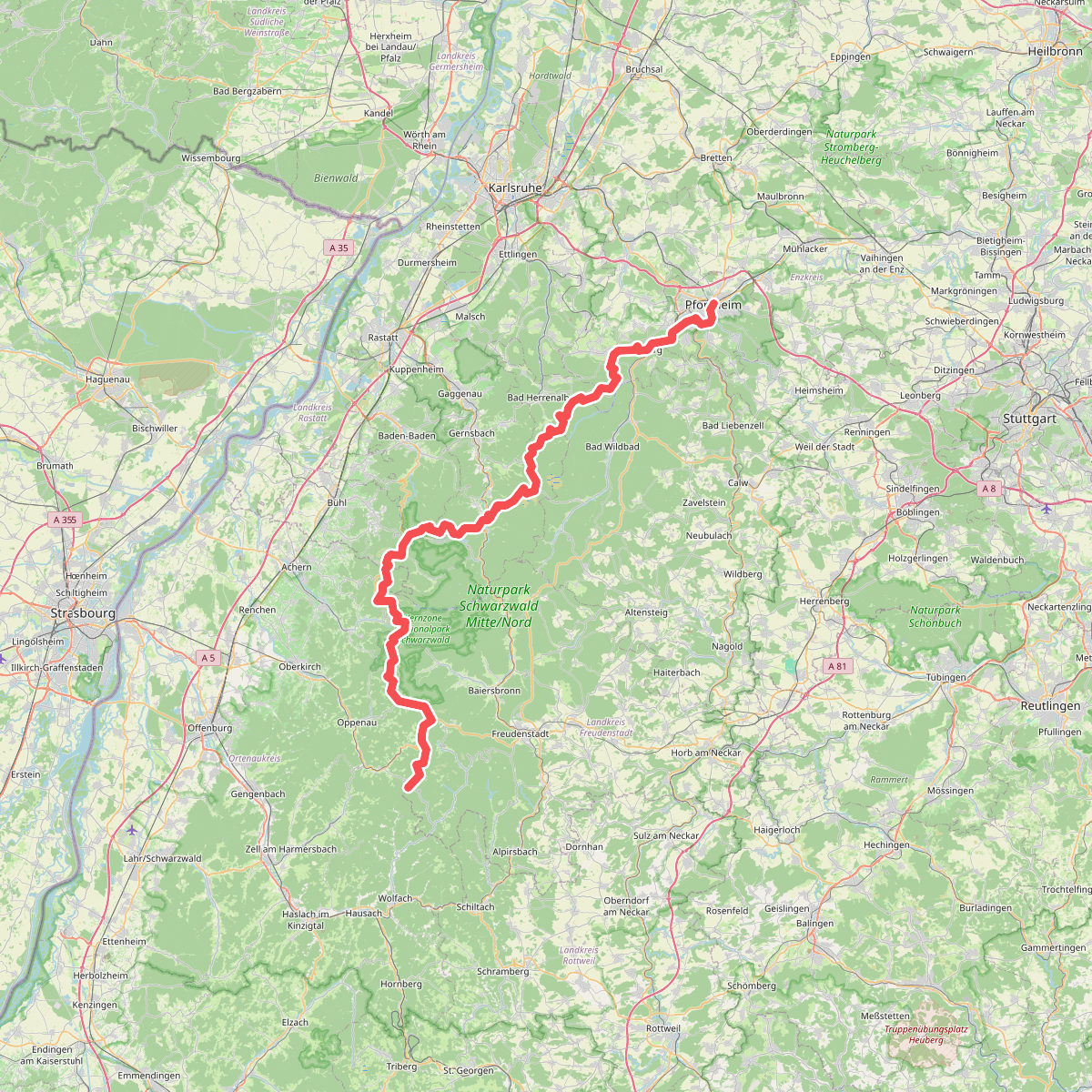
#4. European Long distance path E1 - part Germany, Baden-Wuerttemberg (region Schwarzwald north)
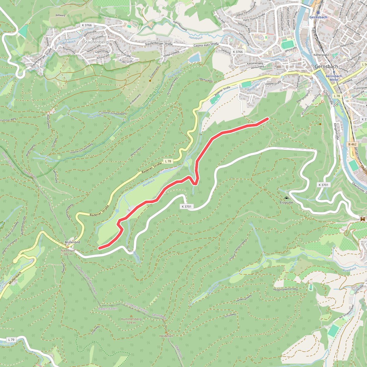
#5. Frauengrund - Walheimer Hof
Gernsbach
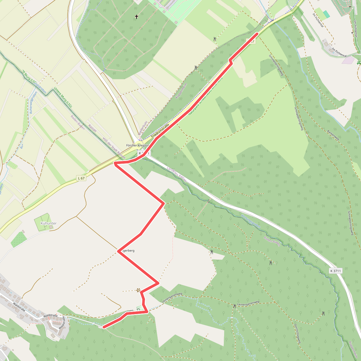
#6. Fuchslocher Klamm - Schmetterlingsweg
Baden-Baden,Kuppenheim
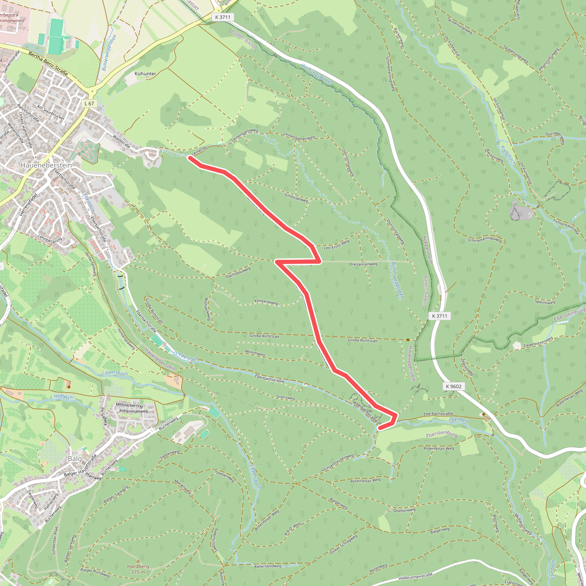
#7. Fuchslocher Klamm - Untere Ochsenmatten
Baden-Baden
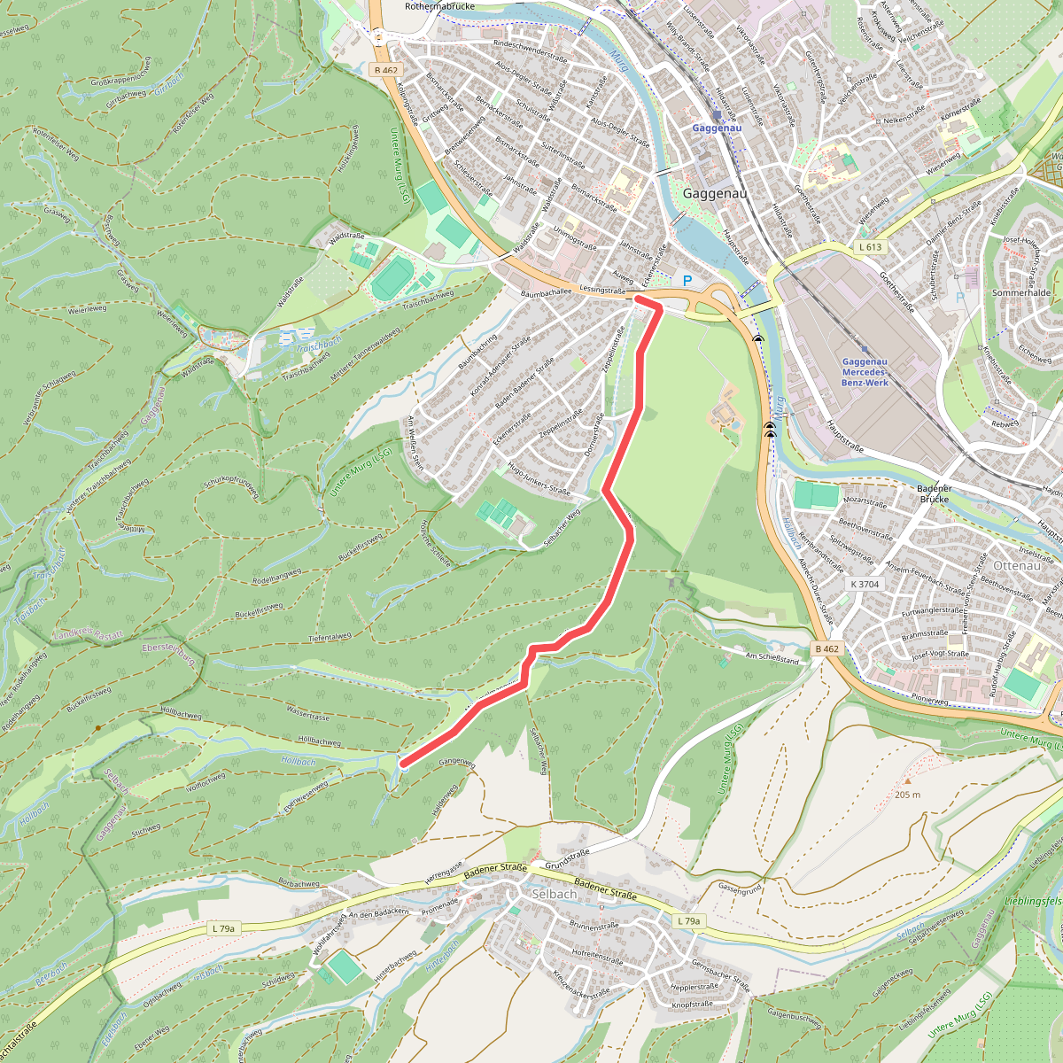
#8. Gaggenau - Höllbach
Gaggenau
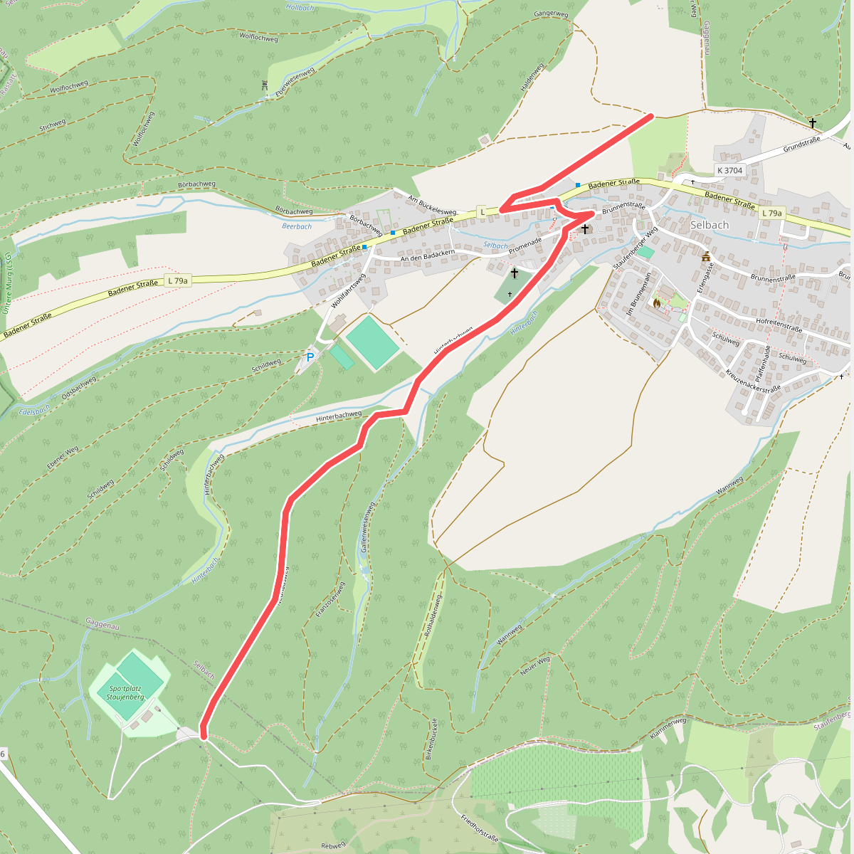
#9. Gaggenau - Merkur
Gaggenau,Gernsbach
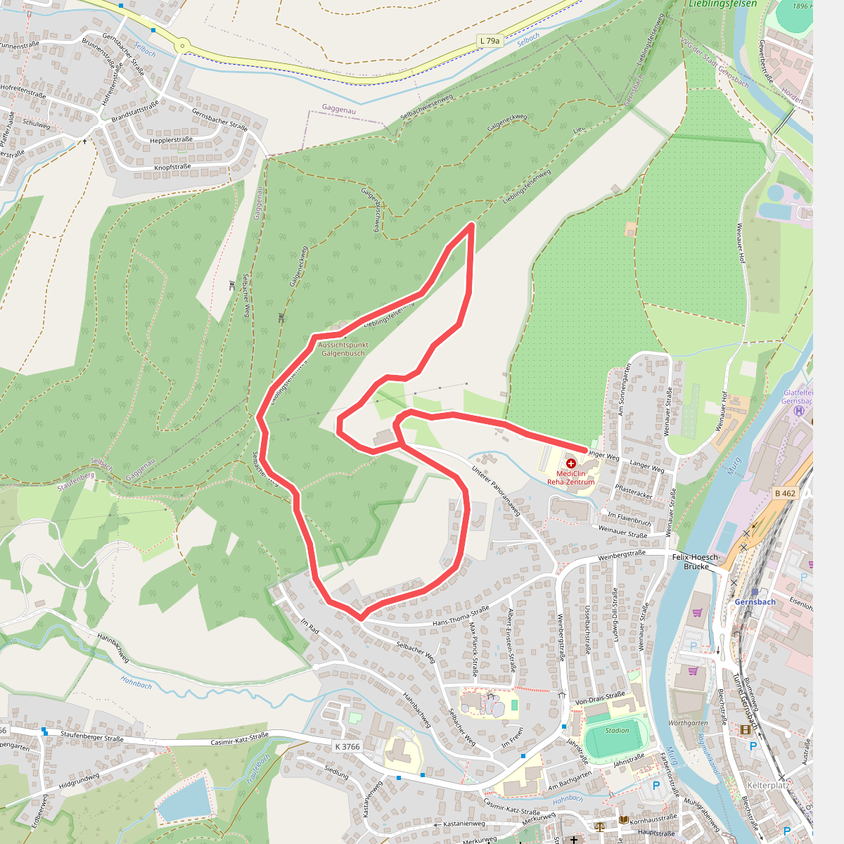
#10. Galgenbuschweg
Gernsbach
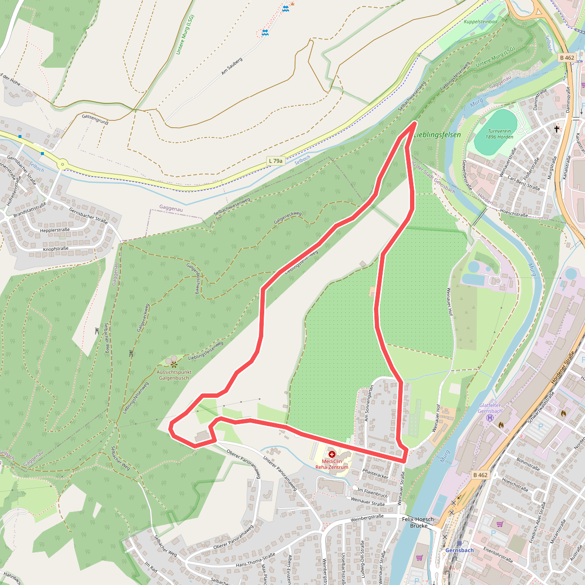
#11. Kuppelsteinweg
Gernsbach,Gaggenau
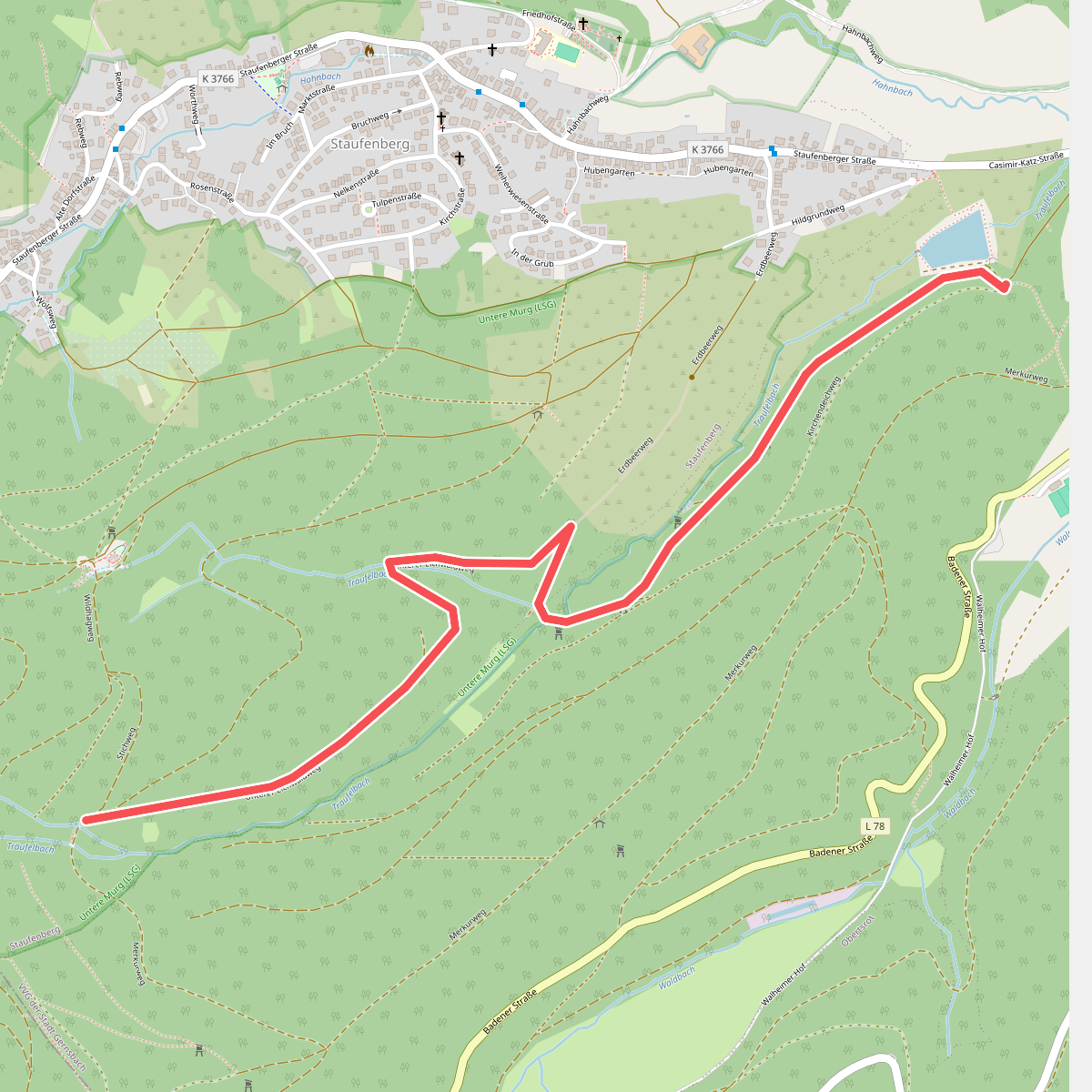
#12. Neuwiese - Träufelbachsee
Gernsbach



