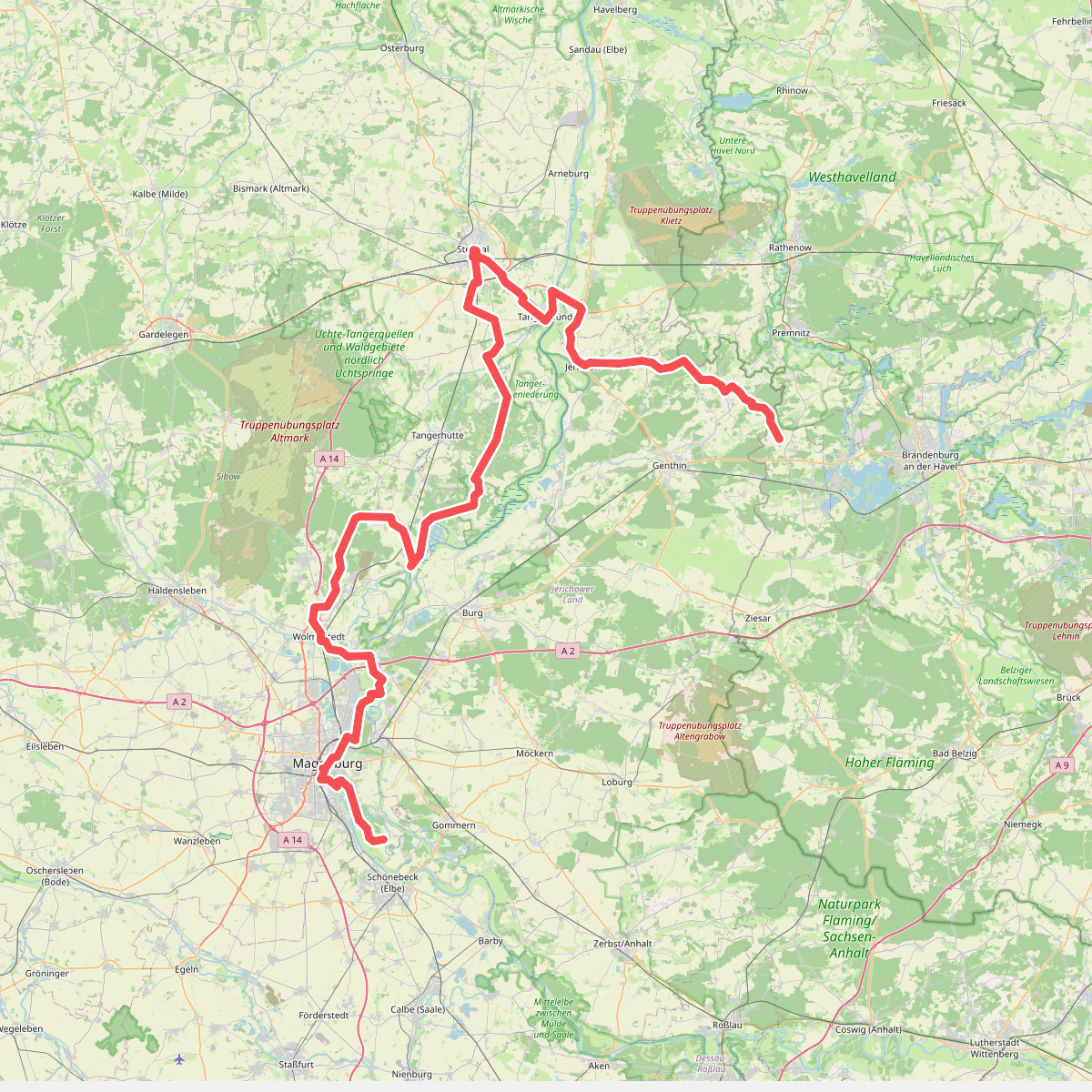
The best hiking routes in Uchte-Tangerquellen und Waldgebiete nördlich Uchtspringe
Discover the best walks in Uchte-Tangerquellen und Waldgebiete nördlich Uchtspringe. 1 routes on the map, with descriptions, photos and GPX.
About Uchte-Tangerquellen und Waldgebiete nördlich Uchtspringe
Uchte-Tangerquellen und Waldgebiete nördlich Uchtspringe offers a landscape shaped by the transition from damp spring mires to dry, sandy pine forests. Walkers will notice the distinct contrast between the low-lying, boggy headwaters of the Uchte and Tanger rivers and the elevated, sandy glacial moraine ridges that rise directly beside them. This is not a region of dramatic valleys or rocky peaks, but rather a gently undulating terrain where the ground beneath your boots changes rapidly from soft, damp peat to loose, dry sand.
Read more
About Uchte-Tangerquellen und Waldgebiete nördlich Uchtspringe
Uchte-Tangerquellen und Waldgebiete nördlich Uchtspringe offers a landscape shaped by the transition from damp spring mires to dry, sandy pine forests. Walkers will notice the distinct contrast between the low-lying, boggy headwaters of the Uchte and Tanger rivers and the elevated, sandy glacial moraine ridges that rise directly beside them. This is not a region of dramatic valleys or rocky peaks, but rather a gently undulating terrain where the ground beneath your boots changes rapidly from soft, damp peat to loose, dry sand.
Read moreUchte-Tangerquellen und Waldgebiete nördlich Uchtspringe offers a landscape shaped by the transition from damp spring mires to dry, sandy pine forests. Walkers will notice the distinct contrast between the low-lying, boggy headwaters of the Uchte and Tanger rivers and the elevated, sandy glacial moraine ridges that rise directly beside them. This is not a region of dramatic valleys or rocky peaks, but rather a gently undulating terrain where the ground beneath your boots changes rapidly from soft, damp peat to loose, dry sand.
Deep in the wooded sections, the canopy is dominated by managed Scots pine and mixed birch stands, where the forest floor is covered in thick moss and blueberry bushes. In the wetter depressions where the springs emerge, the trees give way to alder carrs and open, marshy clearings. Navigation here relies on forestry tracks and unpaved sandy paths, which can feel heavy underfoot in the drier pine sections and soft near the water sources.
Choosing a route here means deciding between the shaded, quiet forest tracks of the northern heights and the more open, damp paths along the spring zones. The area is generally quiet, attracting mostly local walkers, with the most distinct seasonal change occurring in May when the fresh green of the birch leaves contrasts sharply with the dark pine needles and the marsh marigolds bloom in the wet ditches.