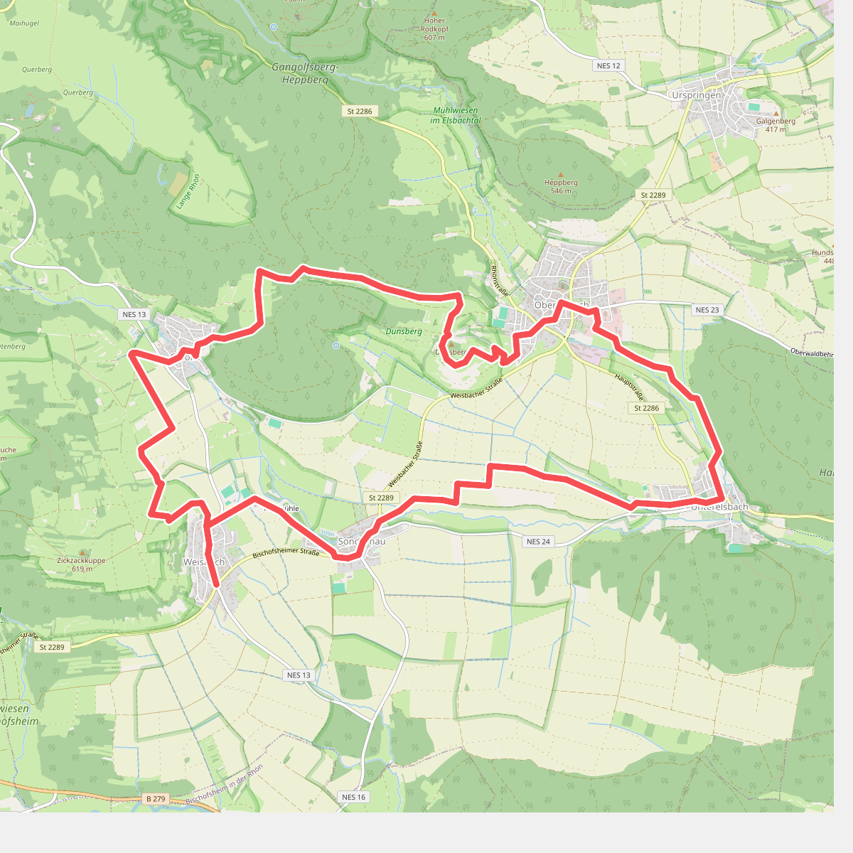
The best hiking routes in Trockenverbundgebiet Rhön - Grabfeld
Discover the best walks in Trockenverbundgebiet Rhön - Grabfeld. 18 routes on the map, with descriptions, photos and GPX.
About Trockenverbundgebiet Rhön - Grabfeld
The Trockenverbundgebiet Rhön - Grabfeld is characterized by its dry, limestone-dominated terrain, which sets it apart from the wetter, peat-heavy uplands of the nearby high Rhön. Walking here means navigating a mosaic of calcareous grasslands, scrubby juniper slopes, and arable fields. The landscape is gently rolling rather than mountainous, shaped by centuries of traditional sheep grazing that prevented forest encroachment and allowed specialized, drought-tolerant flora to thrive.
Read more
About Trockenverbundgebiet Rhön - Grabfeld
The Trockenverbundgebiet Rhön - Grabfeld is characterized by its dry, limestone-dominated terrain, which sets it apart from the wetter, peat-heavy uplands of the nearby high Rhön. Walking here means navigating a mosaic of calcareous grasslands, scrubby juniper slopes, and arable fields. The landscape is gently rolling rather than mountainous, shaped by centuries of traditional sheep grazing that prevented forest encroachment and allowed specialized, drought-tolerant flora to thrive.
Read moreThe Trockenverbundgebiet Rhön - Grabfeld is characterized by its dry, limestone-dominated terrain, which sets it apart from the wetter, peat-heavy uplands of the nearby high Rhön. Walking here means navigating a mosaic of calcareous grasslands, scrubby juniper slopes, and arable fields. The landscape is gently rolling rather than mountainous, shaped by centuries of traditional sheep grazing that prevented forest encroachment and allowed specialized, drought-tolerant flora to thrive.
Underfoot, you will mostly encounter dry, stony dirt tracks and grassy paths over limestone bedrock. Unlike the boggy plateaus nearby, there are no boardwalks or deep mud channels here, but the ground is hard and uneven with loose stones. The vegetation is low and open, dominated by wild herbs and orchids that peak in June, giving way to dry, yellowing grasses by August.
This area is not a destination for deep forest hikes or dramatic gorge crossings. Instead, it offers a quiet, agricultural landscape where the transition between cultivated fields and protected dry grasslands is constantly visible. The paths are generally quiet, though the more open hillside sections are popular with local walkers seeking wide, clear views over the undulating Grabfeld basin.
Hiking routes in Trockenverbundgebiet Rhön - Grabfeld (18)
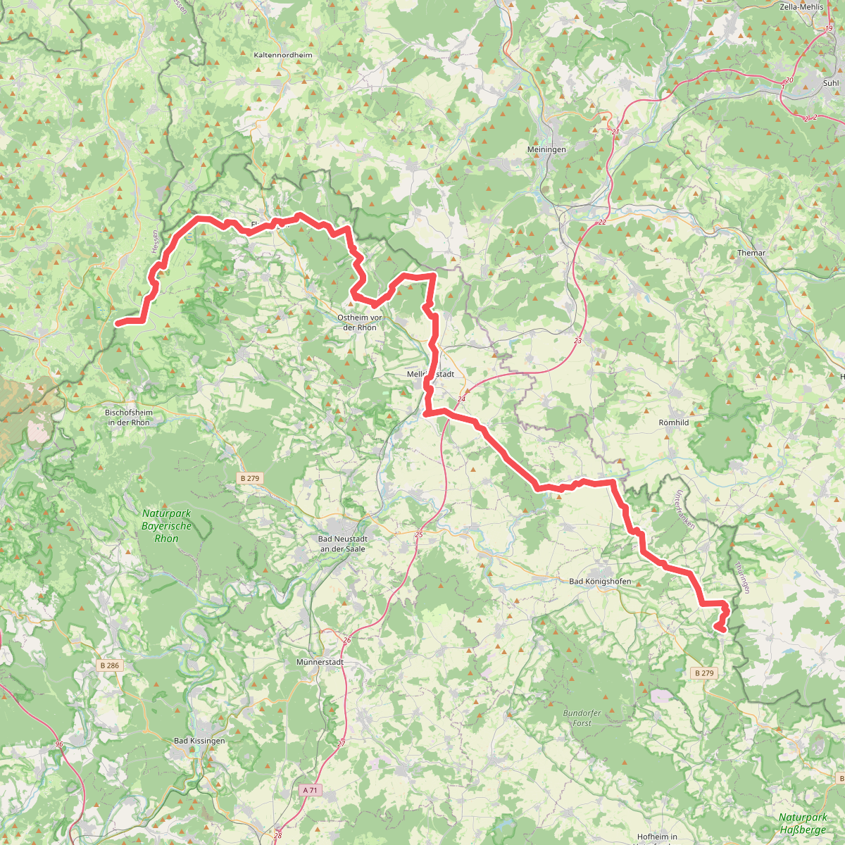
#1. Europäischer Fernwanderweg E3, Bayrische Rhön
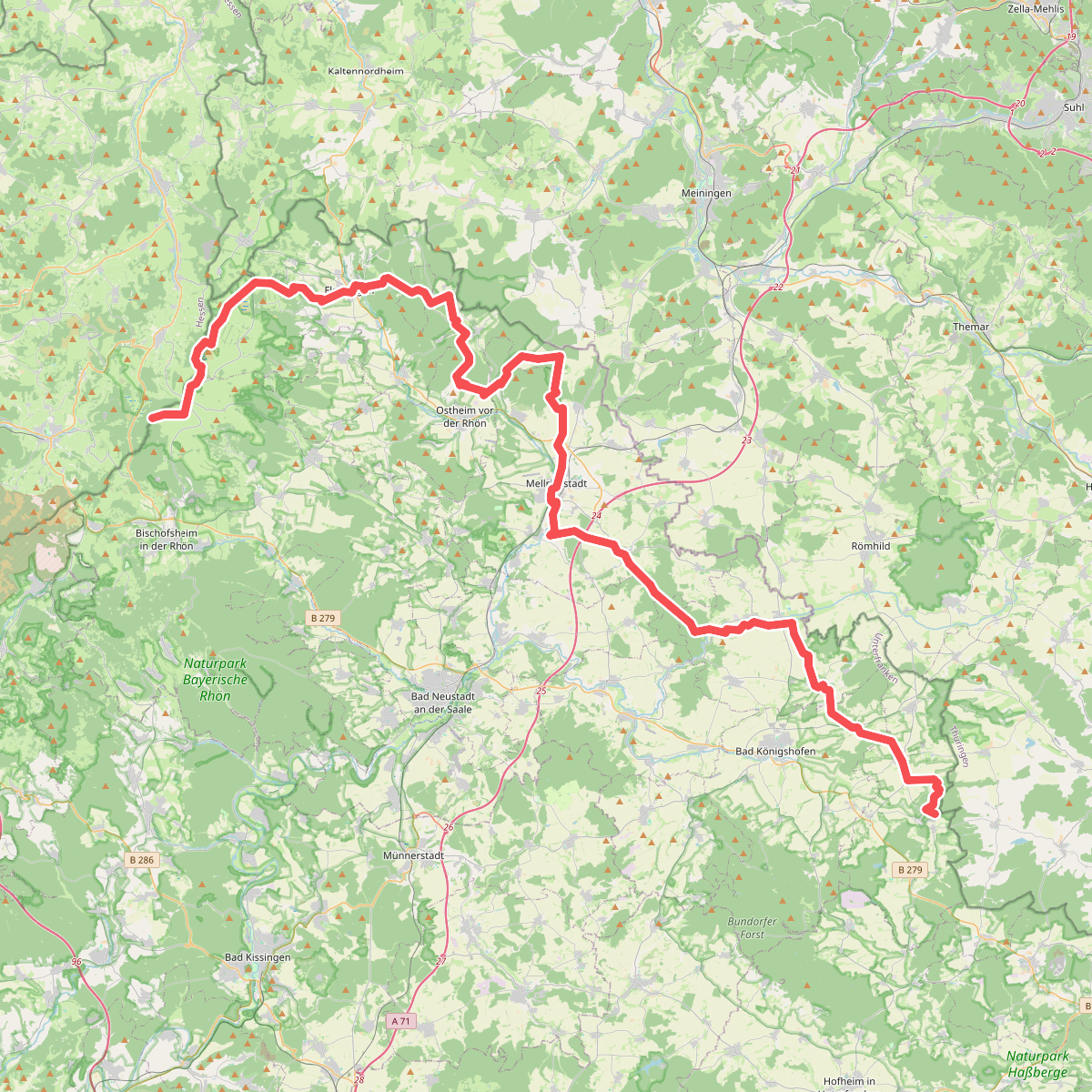
#2. Europäischer Fernwanderweg E6, Deutschland, Bayrische Rhön
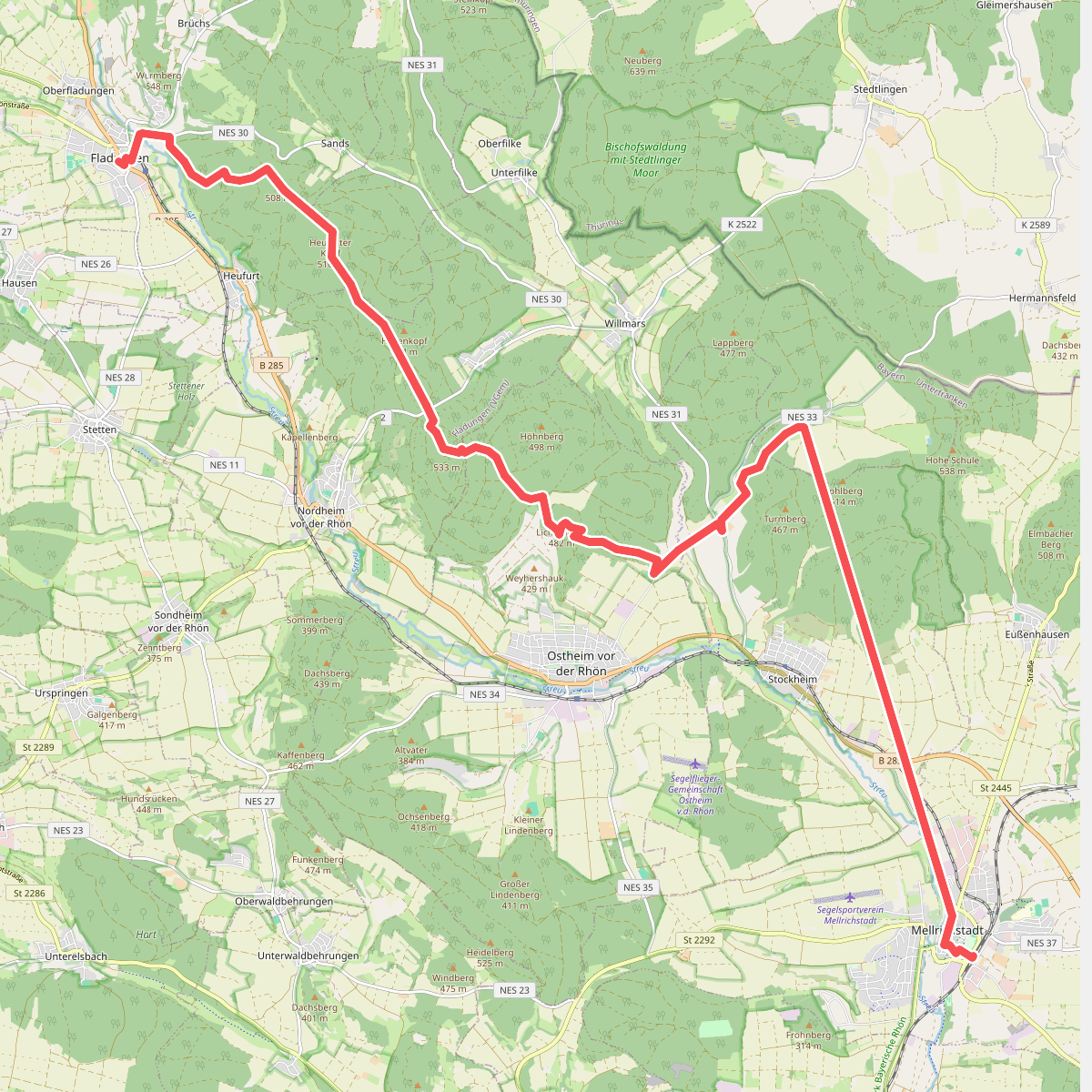
#3. Fladungen-Mellrichstadt
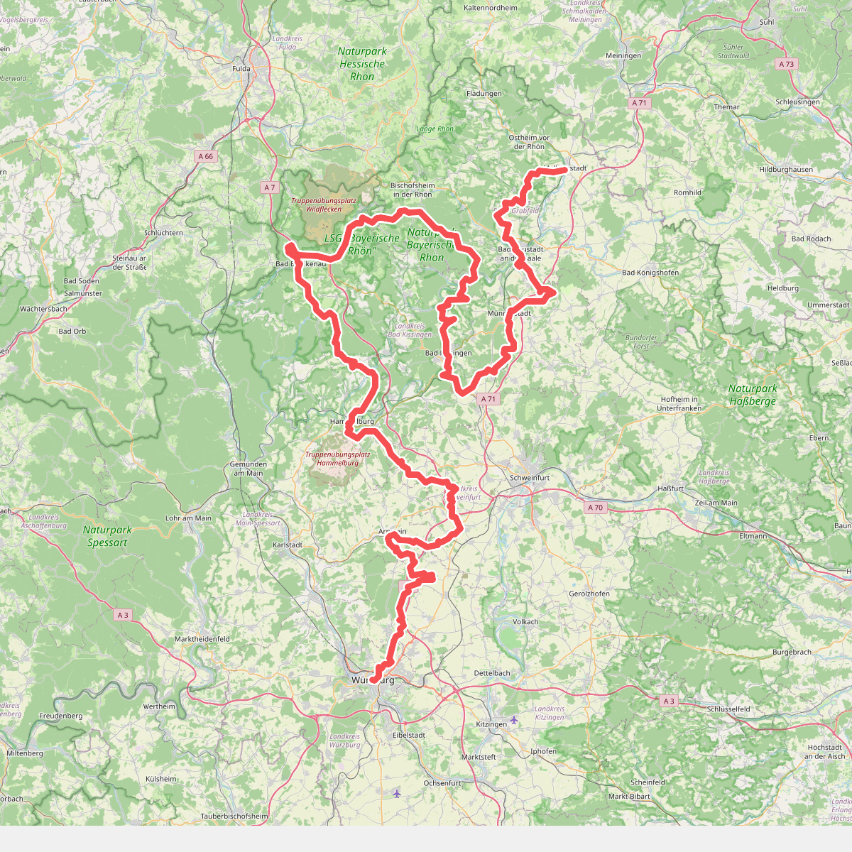
#4. Fränkischer Marienweg Route 4
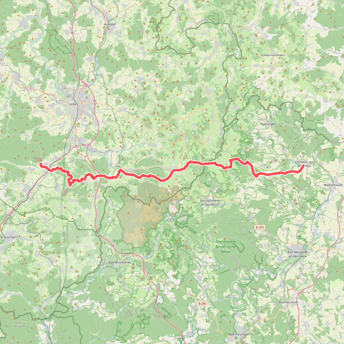
#5. Heidelsteinweg
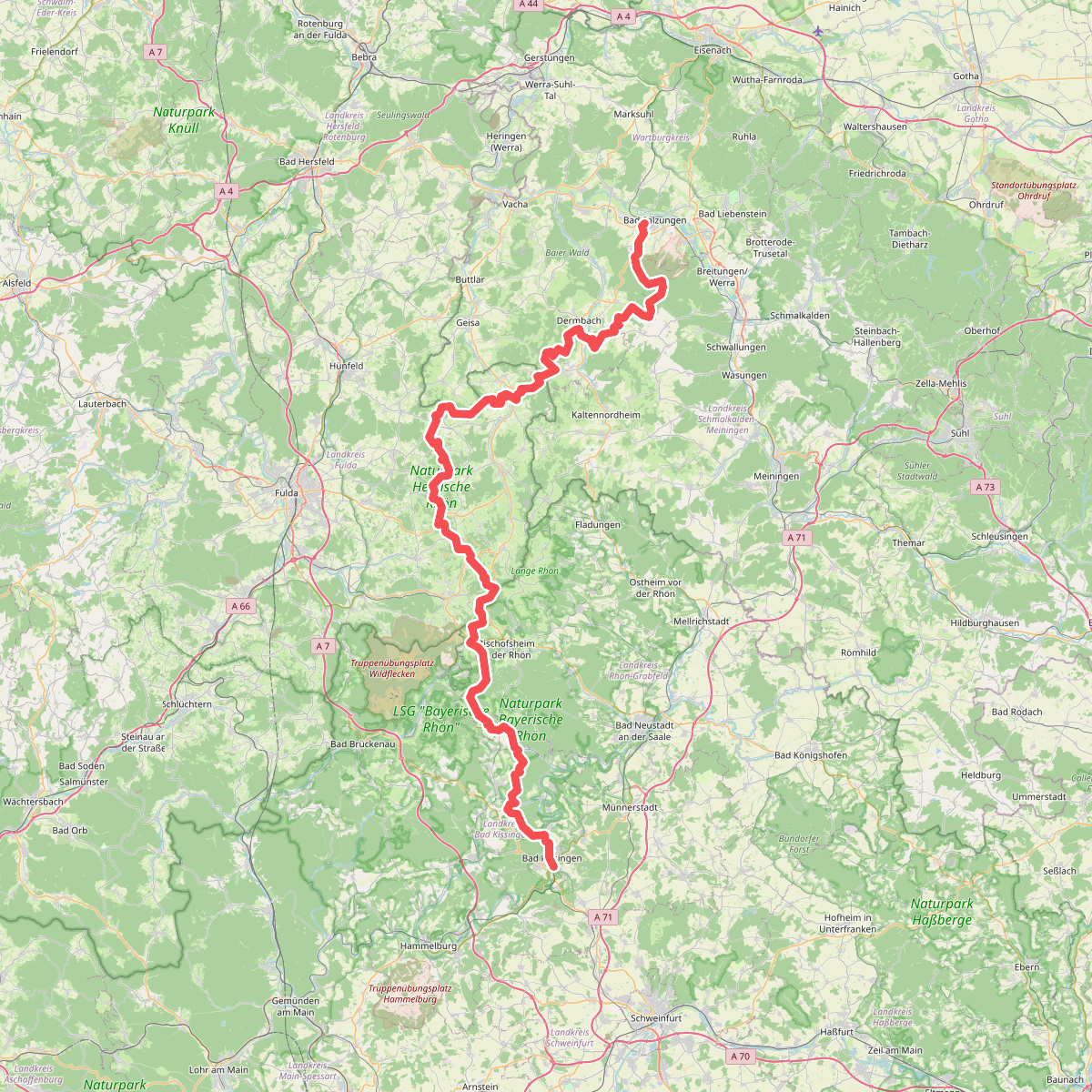
#6. Hochrhöner
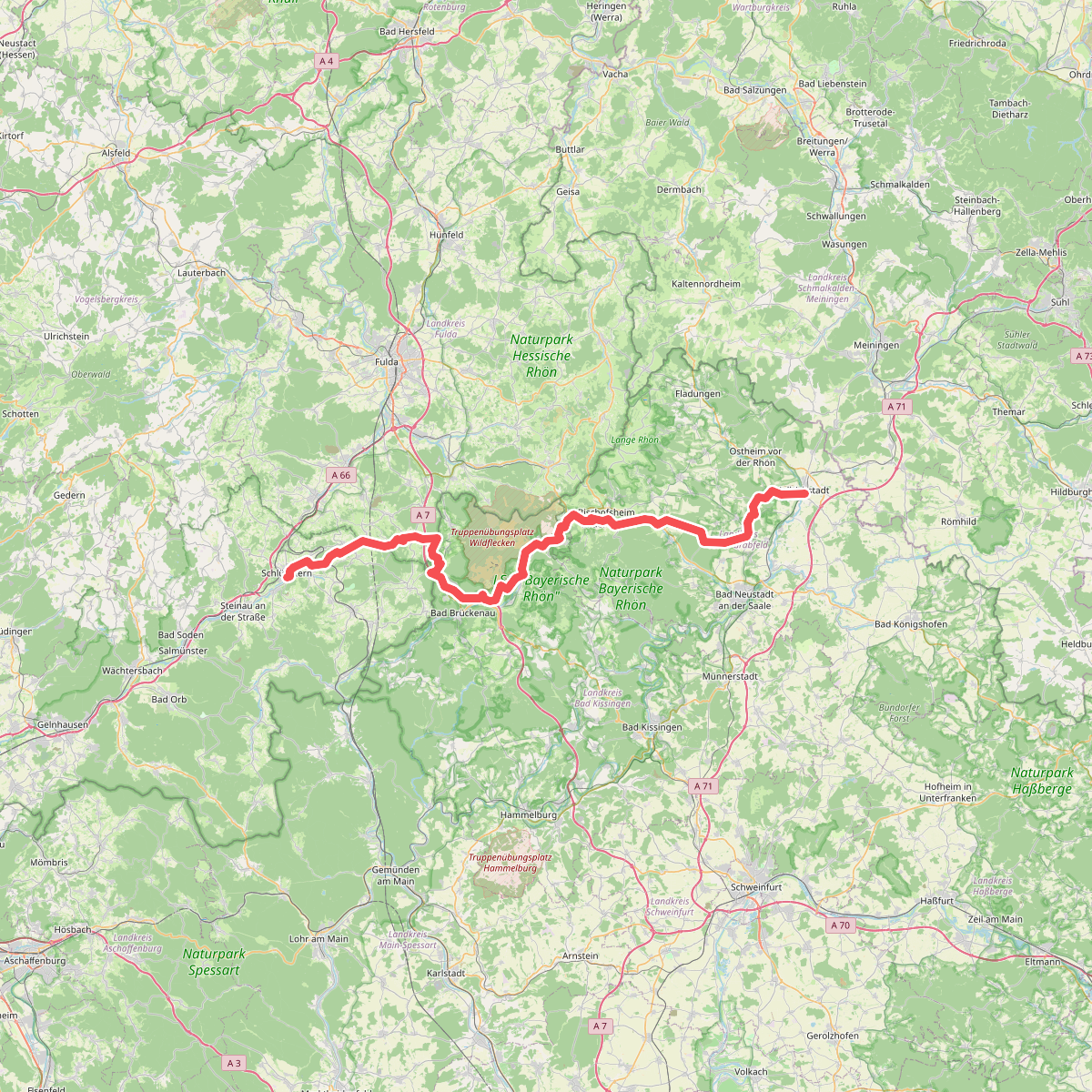
#7. Klosterweg
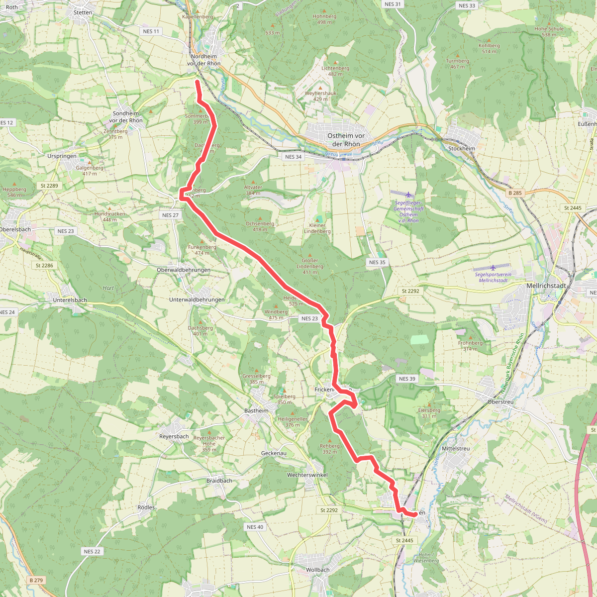
#8. Nordheim - Unsleben
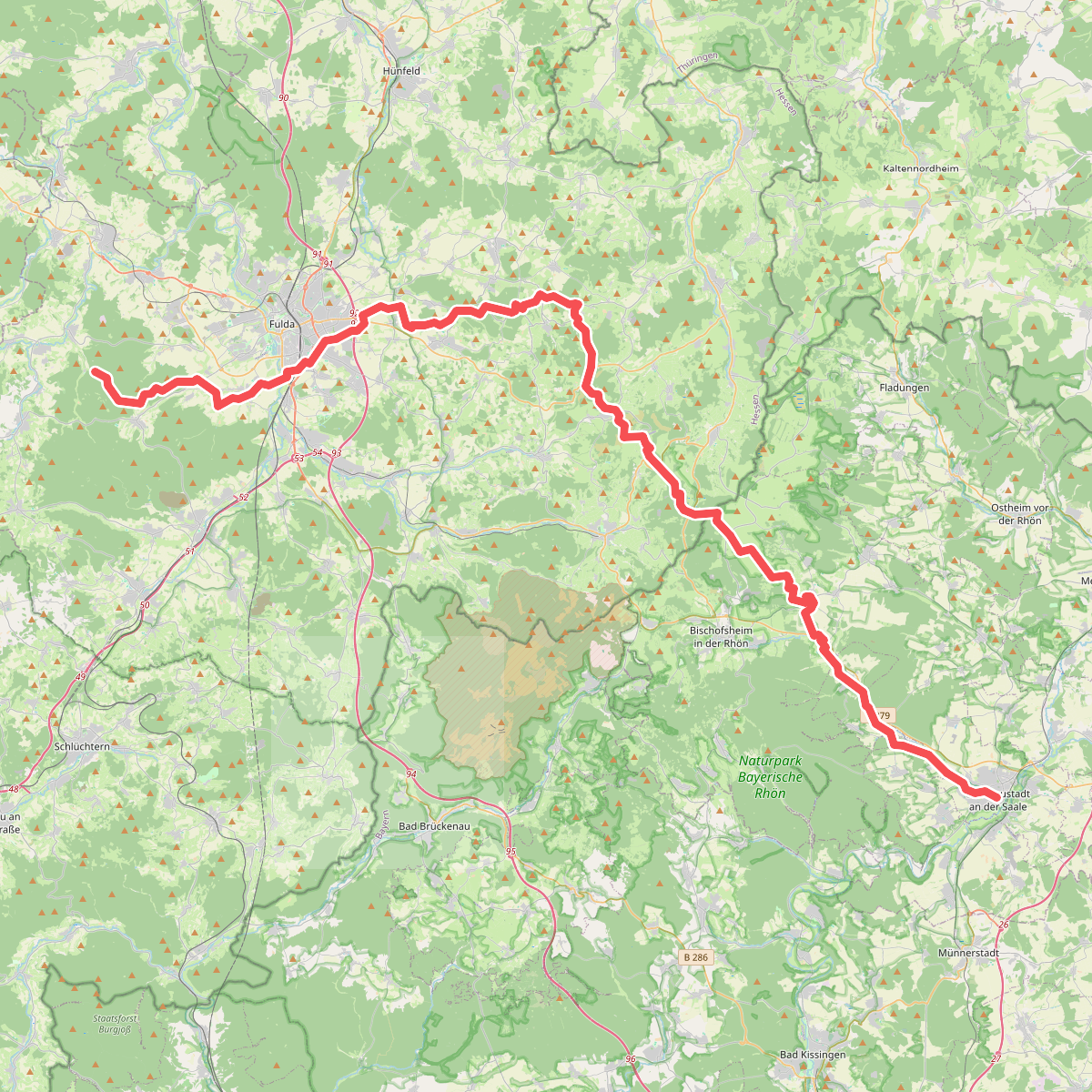
#9. Ortesweg
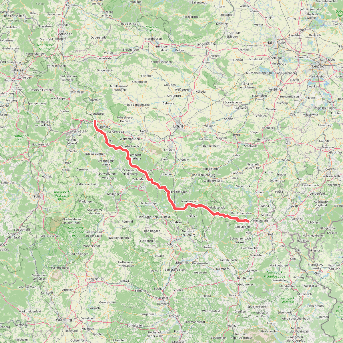
#10. Rennsteig
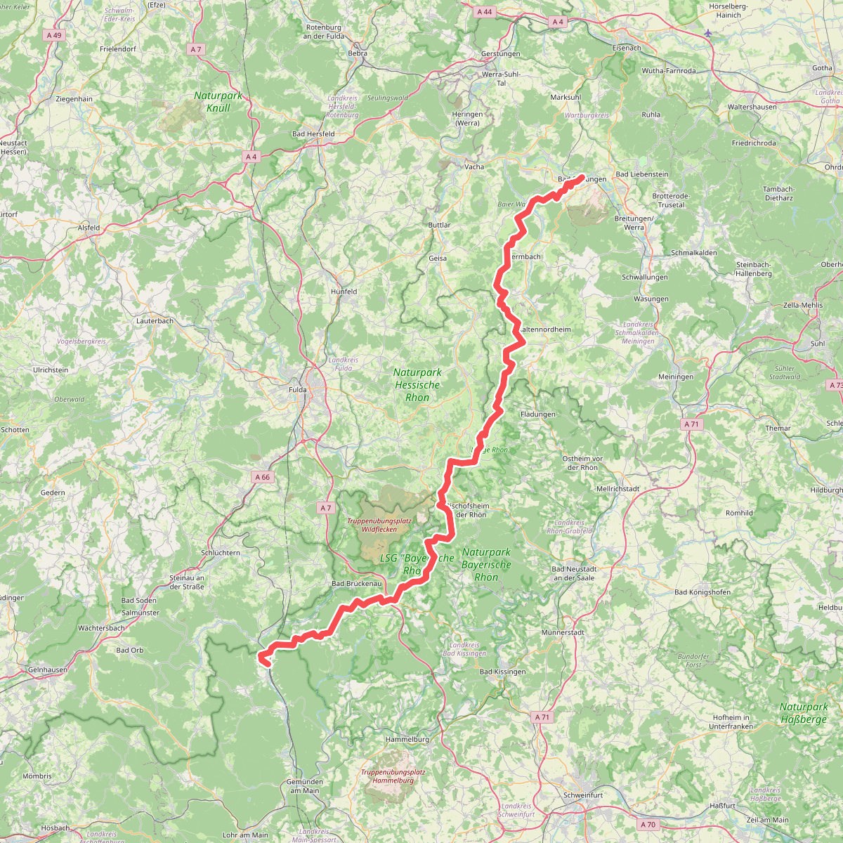
#11. Rhön-Höhenweg