The best hiking routes in Travemünder Winkel
Discover the best walks in Travemünder Winkel. 4 routes on the map, with descriptions, photos and GPX.
About Travemünder Winkel
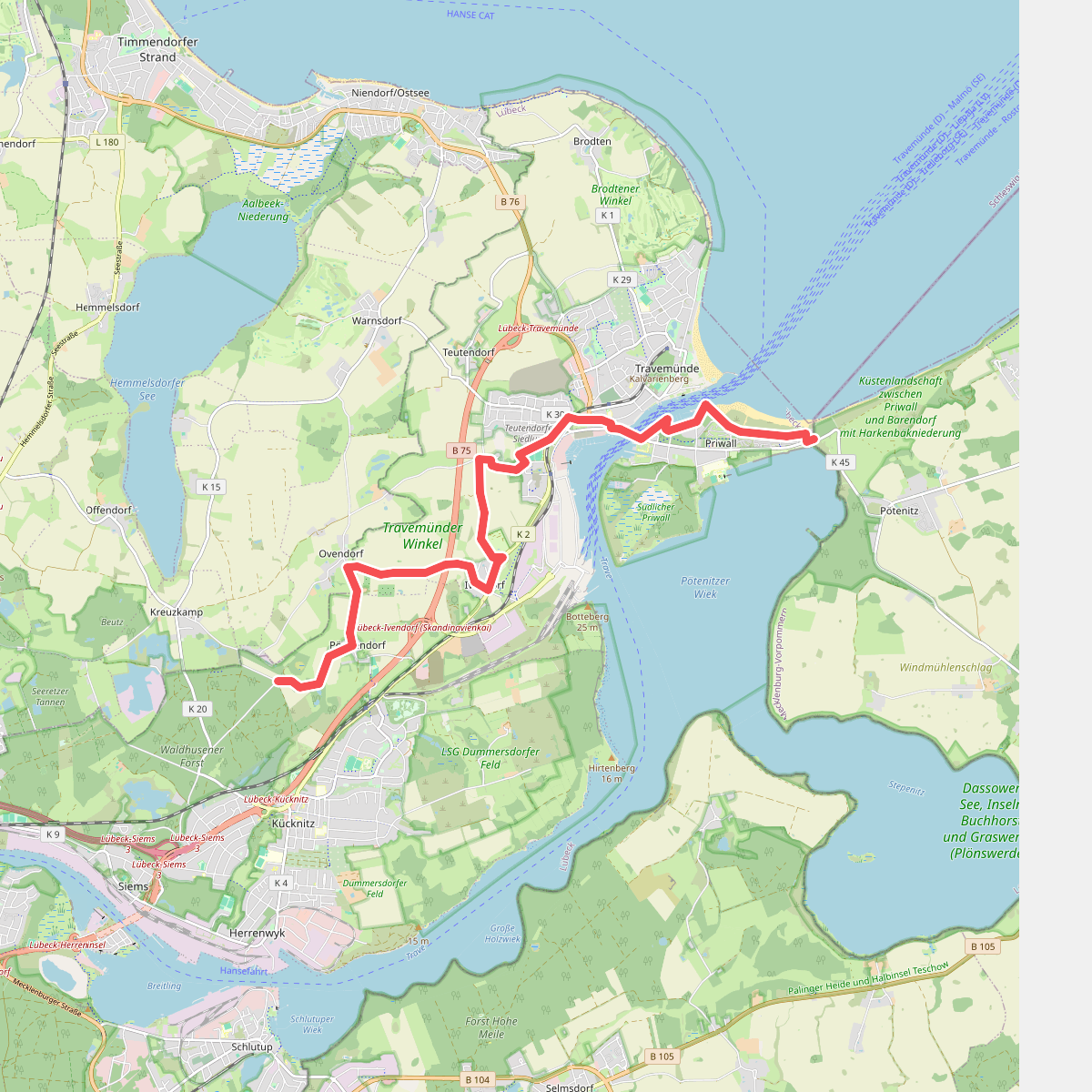
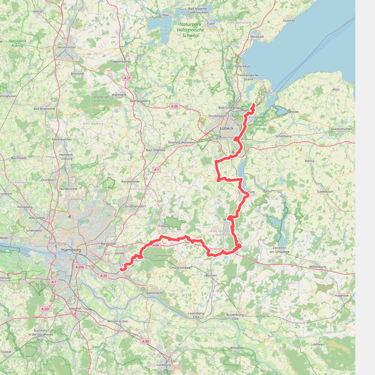
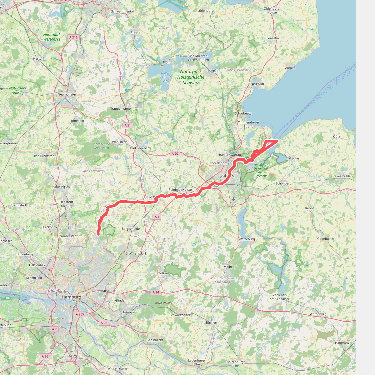
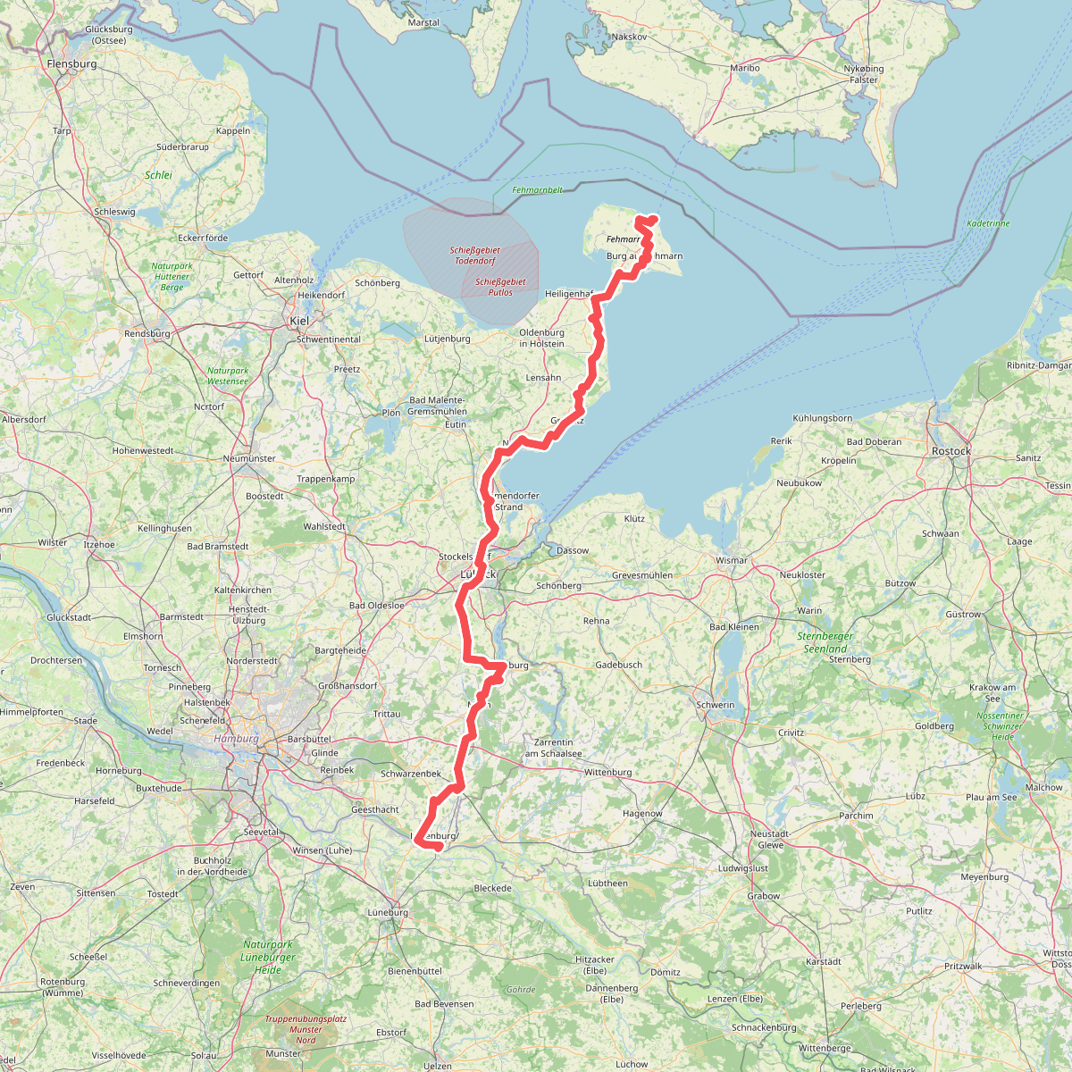
The Travemünder Winkel is a low-lying peninsula bounded by the Baltic Sea coast and the Trave estuary. Unlike the sandy dune systems further north, this landscape consists of flat coastal plains, low clay cliffs, and pockets of damp woodland. Walkers will find a mix of wide agricultural tracks, dirt paths along the cliff edges, and occasional paved lanes connecting small hamlets. The terrain is gently rolling with no steep climbs, though the coastal paths are exposed to the elements.
Read more
About Travemünder Winkel
The Travemünder Winkel is a low-lying peninsula bounded by the Baltic Sea coast and the Trave estuary. Unlike the sandy dune systems further north, this landscape consists of flat coastal plains, low clay cliffs, and pockets of damp woodland. Walkers will find a mix of wide agricultural tracks, dirt paths along the cliff edges, and occasional paved lanes connecting small hamlets. The terrain is gently rolling with no steep climbs, though the coastal paths are exposed to the elements.
Read moreThe Travemünder Winkel is a low-lying peninsula bounded by the Baltic Sea coast and the Trave estuary. Unlike the sandy dune systems further north, this landscape consists of flat coastal plains, low clay cliffs, and pockets of damp woodland. Walkers will find a mix of wide agricultural tracks, dirt paths along the cliff edges, and occasional paved lanes connecting small hamlets. The terrain is gently rolling with no steep climbs, though the coastal paths are exposed to the elements.
Walking here reveals how the Baltic Sea shapes the land. The active cliff line at the Brodten shore shows clear signs of erosion, where clay and sand slide onto the stony beach below. Inland, the paths run through fields and drainage ditches that reflect centuries of farming on fertile ground. The underfoot conditions transition from soft sand and pebbles along the beach to hard-packed clay and gravel on the inland agricultural tracks.
This area is suitable for those who prefer open, agricultural coastal landscapes over deep forests. The cliff-top path can become busy with cyclists and walkers, especially near the resort towns, while the inland paths through the fields are often quieter. In May, the yellow rapeseed fields dominate the view, contrasting with the grey-brown clay of the active cliffs.