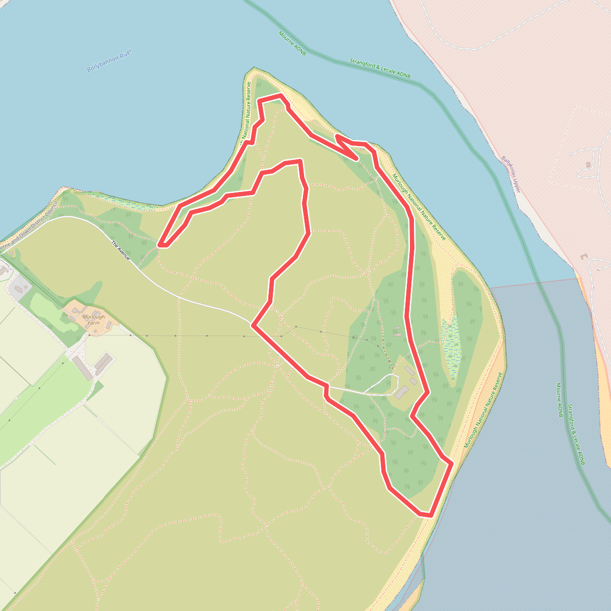
The best hiking routes in Strangford & Lecale AONB
Discover the best walks in Strangford & Lecale AONB. 18 routes on the map, with descriptions, photos and GPX.
About Strangford & Lecale AONB
Strangford & Lecale AONB is characterized by its low-lying, glaciated landscape, where the defining feature is the drumlin field. These small, rounded hills of glacial till dictate the flow of the walking routes, creating a gently rolling terrain rather than steep climbs or deep valleys. The vast, sheltered sea lough of Strangford Lough dominates the northern section, where walkers follow stony shorelines, salt marshes, and muddy tidal flats. Further south, the Lecale peninsula transitions into a mix of rocky coastal paths, sandy beaches, and low clay cliffs.
Read more
About Strangford & Lecale AONB
Strangford & Lecale AONB is characterized by its low-lying, glaciated landscape, where the defining feature is the drumlin field. These small, rounded hills of glacial till dictate the flow of the walking routes, creating a gently rolling terrain rather than steep climbs or deep valleys. The vast, sheltered sea lough of Strangford Lough dominates the northern section, where walkers follow stony shorelines, salt marshes, and muddy tidal flats. Further south, the Lecale peninsula transitions into a mix of rocky coastal paths, sandy beaches, and low clay cliffs.
Read moreStrangford & Lecale AONB is characterized by its low-lying, glaciated landscape, where the defining feature is the drumlin field. These small, rounded hills of glacial till dictate the flow of the walking routes, creating a gently rolling terrain rather than steep climbs or deep valleys. The vast, sheltered sea lough of Strangford Lough dominates the northern section, where walkers follow stony shorelines, salt marshes, and muddy tidal flats. Further south, the Lecale peninsula transitions into a mix of rocky coastal paths, sandy beaches, and low clay cliffs.
Underfoot, the terrain varies significantly depending on your choice of path. Coastal walks along the lough shore often require stepping over seaweed-covered rocks, shingle, and wet sand, while the inland drumlin lanes are mostly tarmac or packed gravel. Around the southern dunes of Murlough and the Lecale coast, the paths shift to soft sand and grassy tracks. In winter, particularly during December and January, the low-lying fields and coastal margins become waterlogged, and the high tides can submerge the lower shoreline paths entirely.
This area is not a destination for mountain hiking, as the highest points are merely modest hills offering views over the immediate water channels and farmland. Instead, it suits those looking for coastal navigation and quiet country lanes. While popular spots near Castle Ward or the beach access points at Tyrella can be busier with local visitors, much of the shoreline path network remains quiet, offering a working agricultural and maritime landscape to observe rather than a wilderness.
Hiking routes in Strangford & Lecale AONB (18)
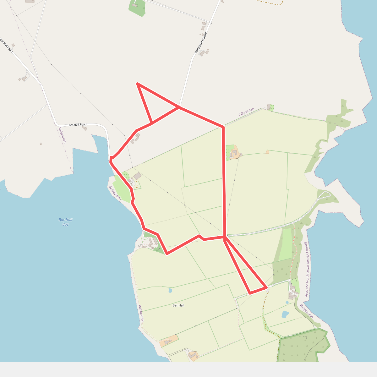
#1. Bar Hall Bay Trail
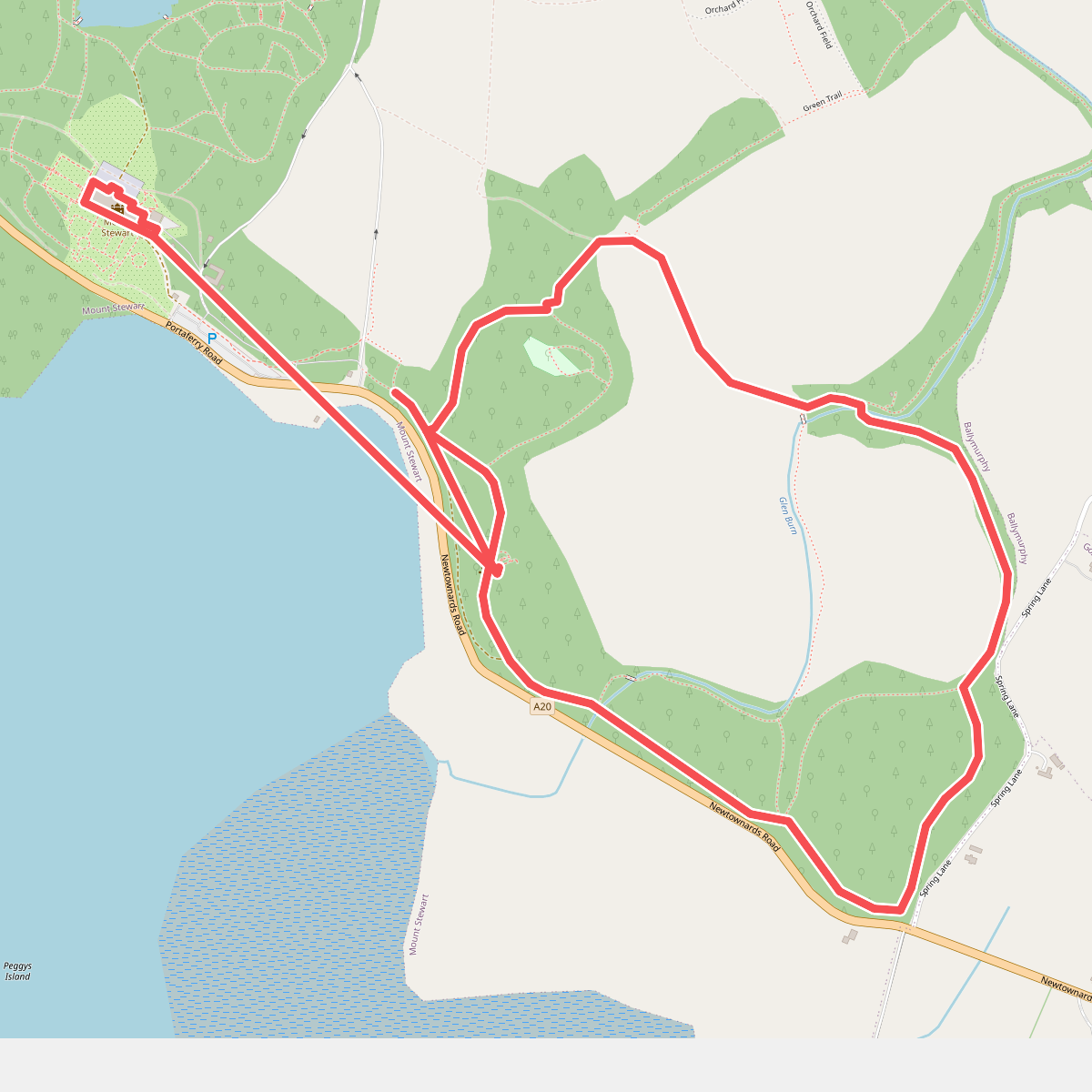
#2. Blue Trail, Mount Stewart
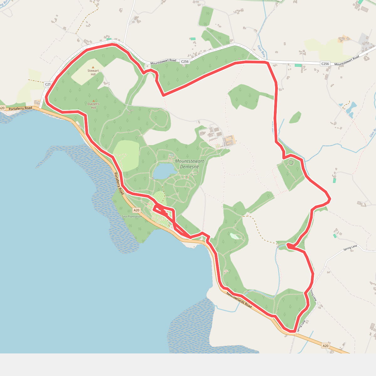
#3. Boundary Walk, Mount Stewart
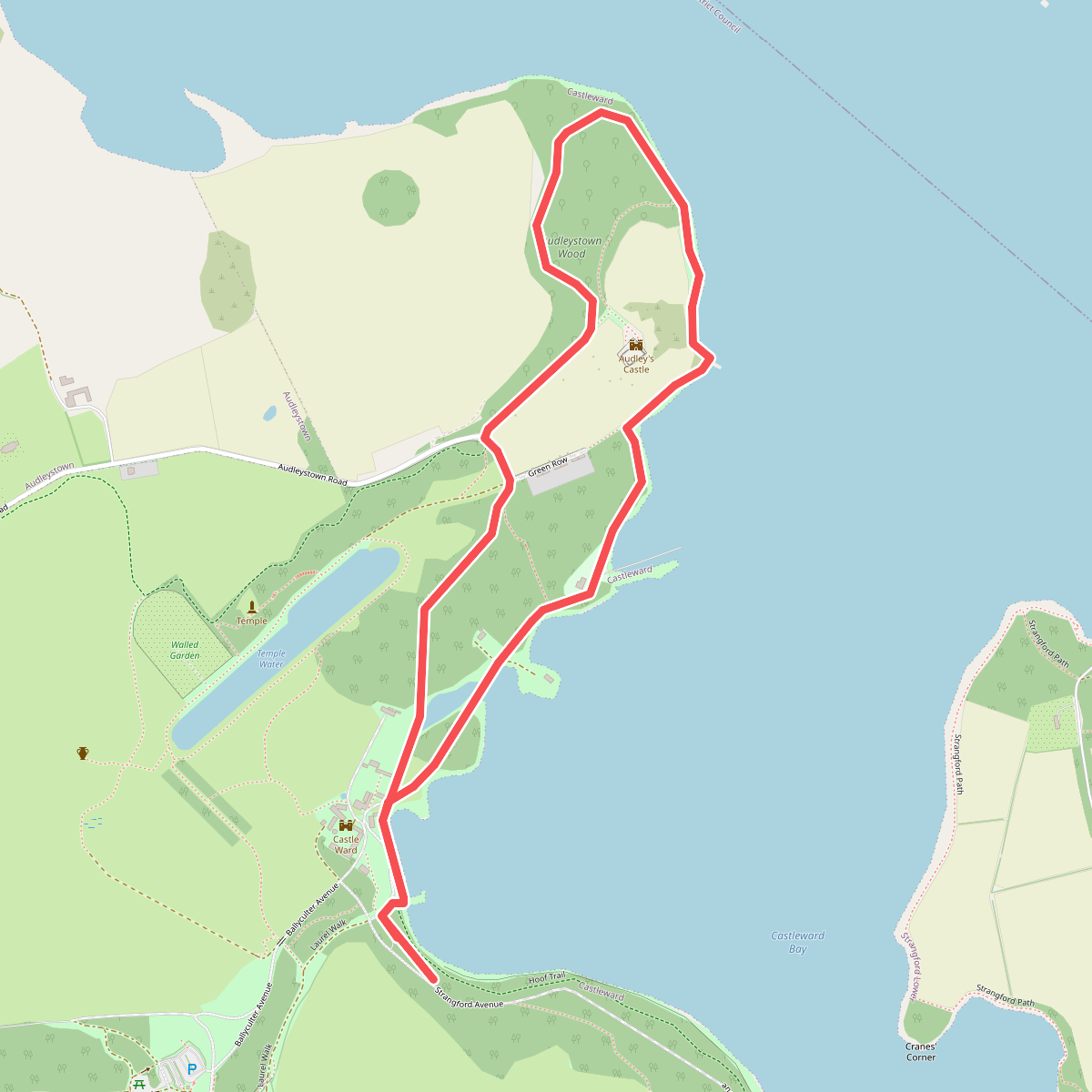
#4. Castle Trail at Castle Ward, Castle Ward
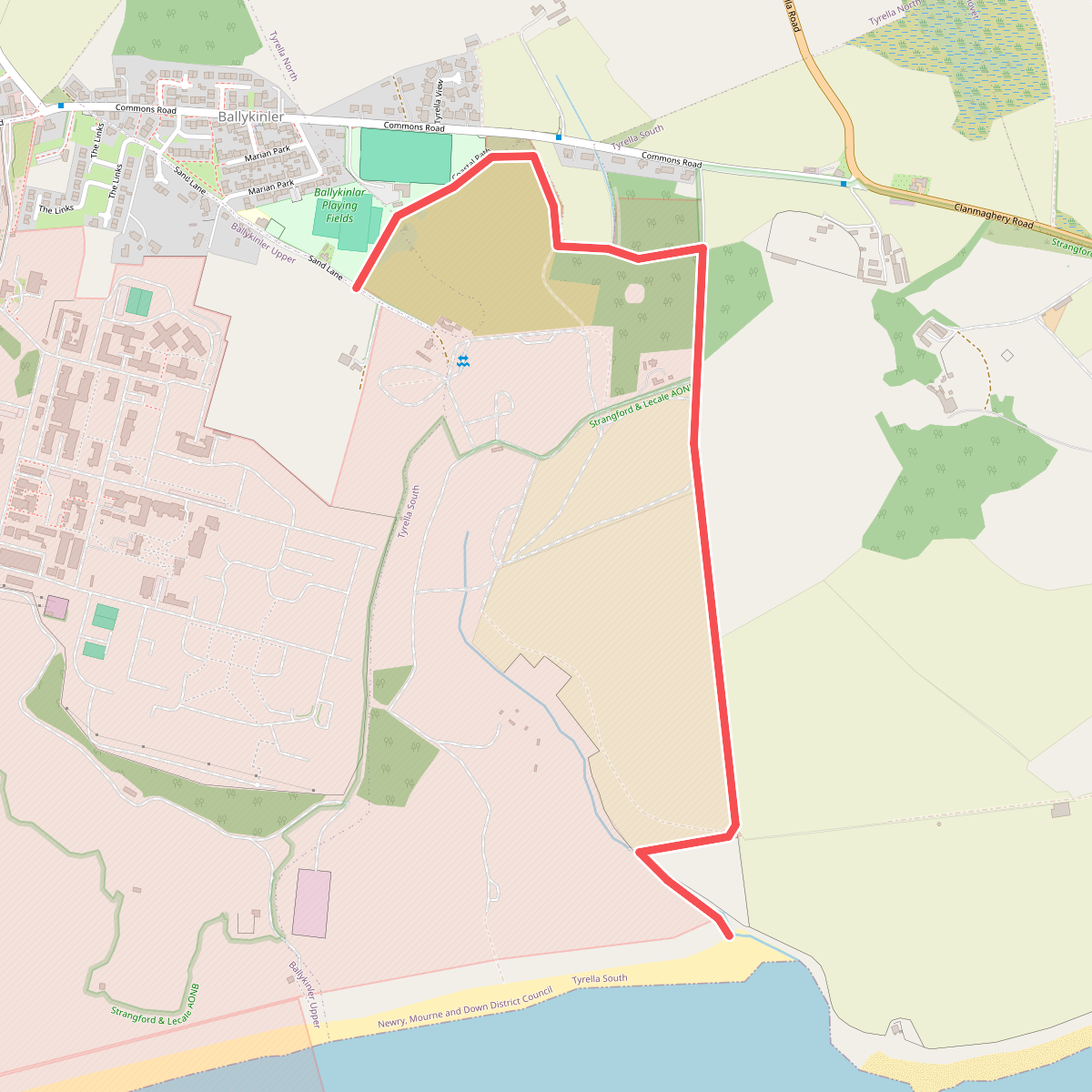
#5. Coastal Path
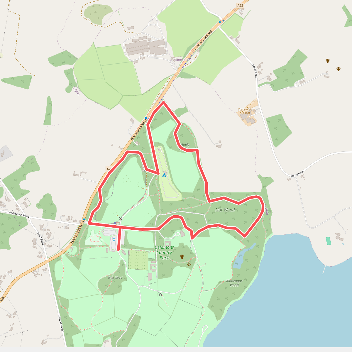
#6. Corbally Walk
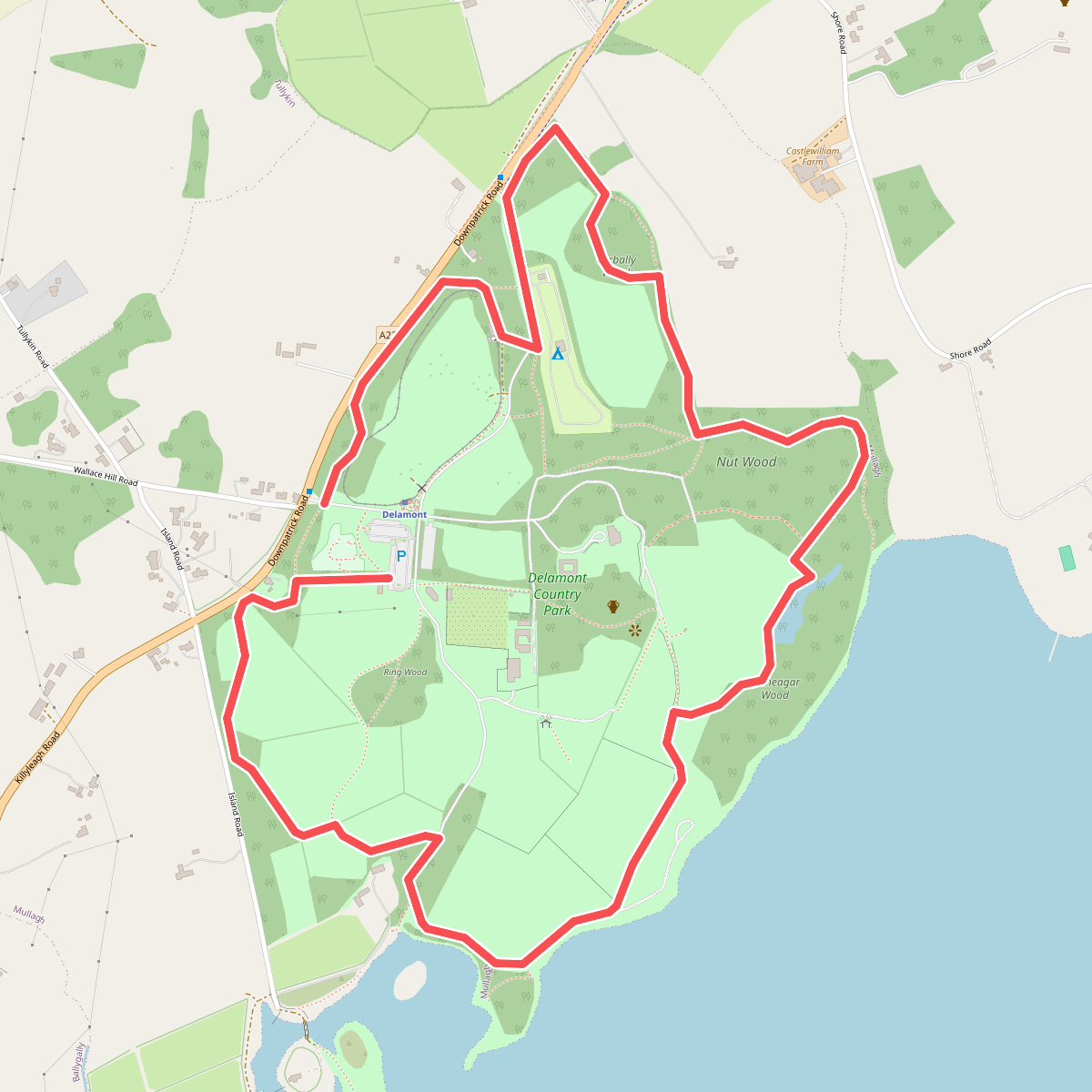
#7. Crazy Trail
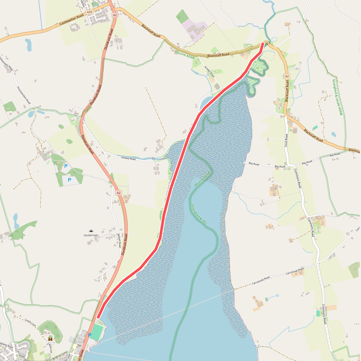
#8. Dundrum Coastal Path, Murlough
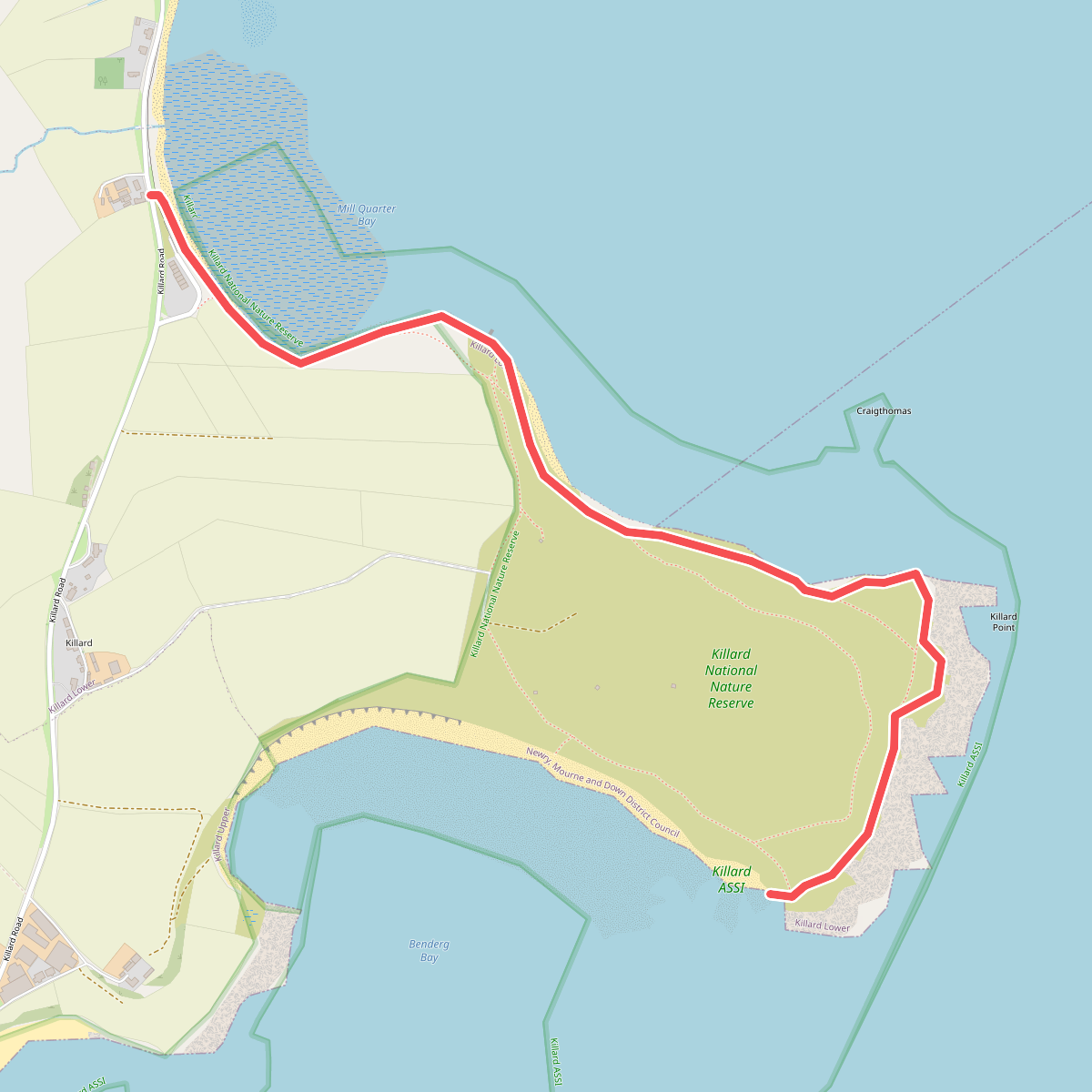
#9. Killard National Nature Reserve
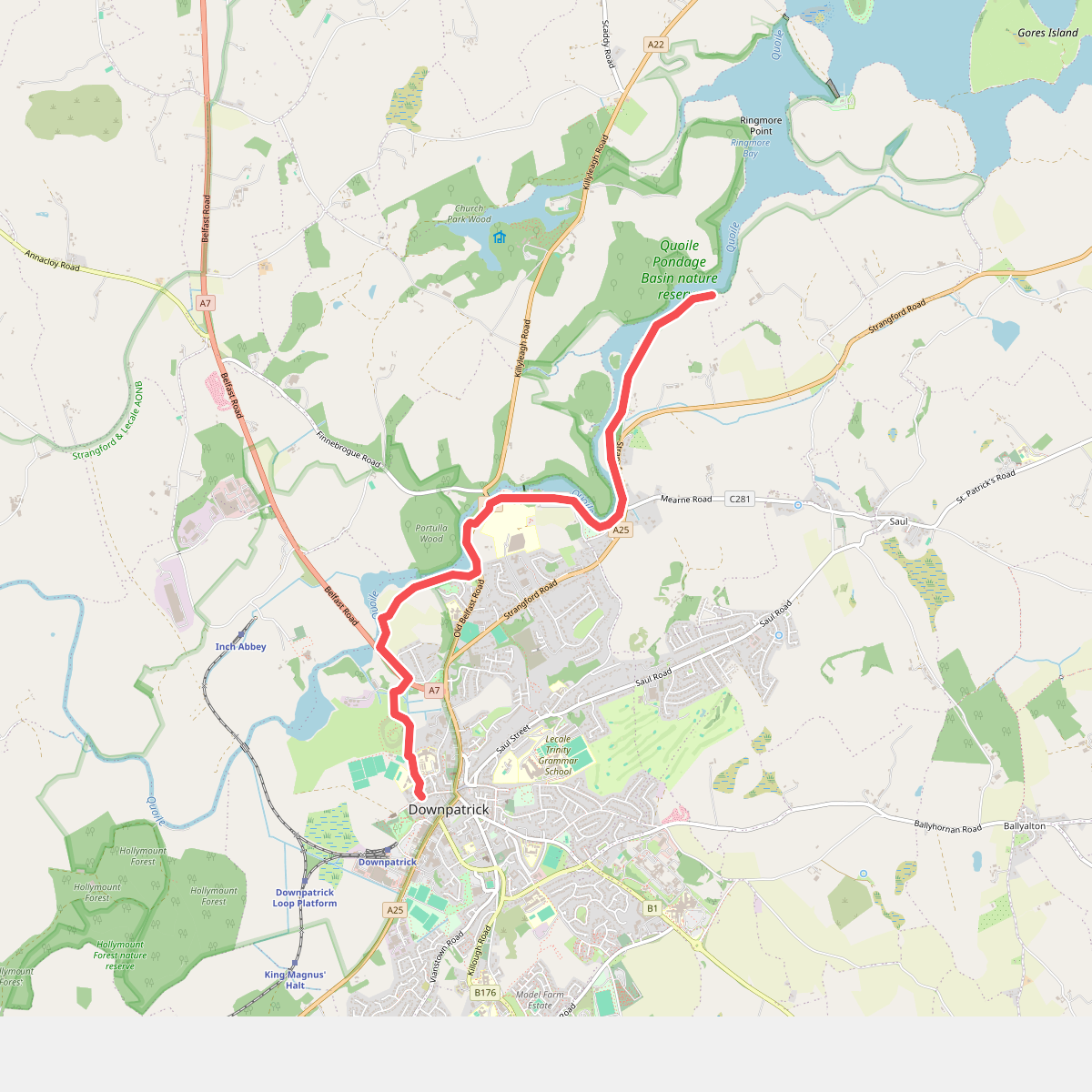
#10. Lecale Way
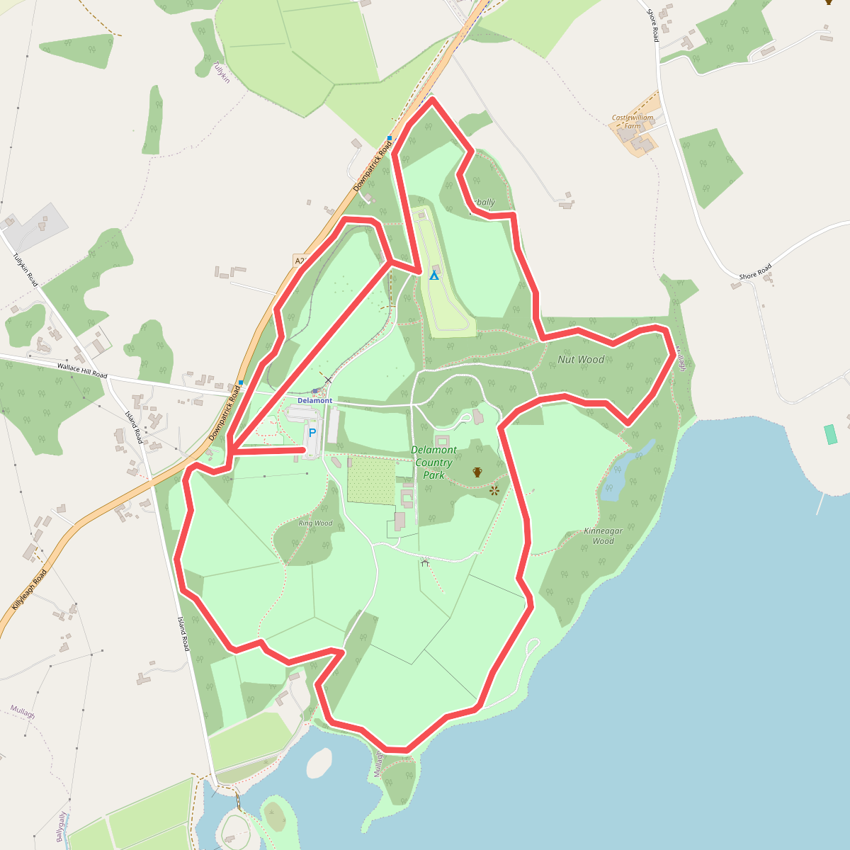
#11. Long Walk