The best hiking routes in Stora Sjöfallet
Discover the best walks in Stora Sjöfallet. 1 routes on the map, with descriptions, photos and GPX.
About Stora Sjöfallet
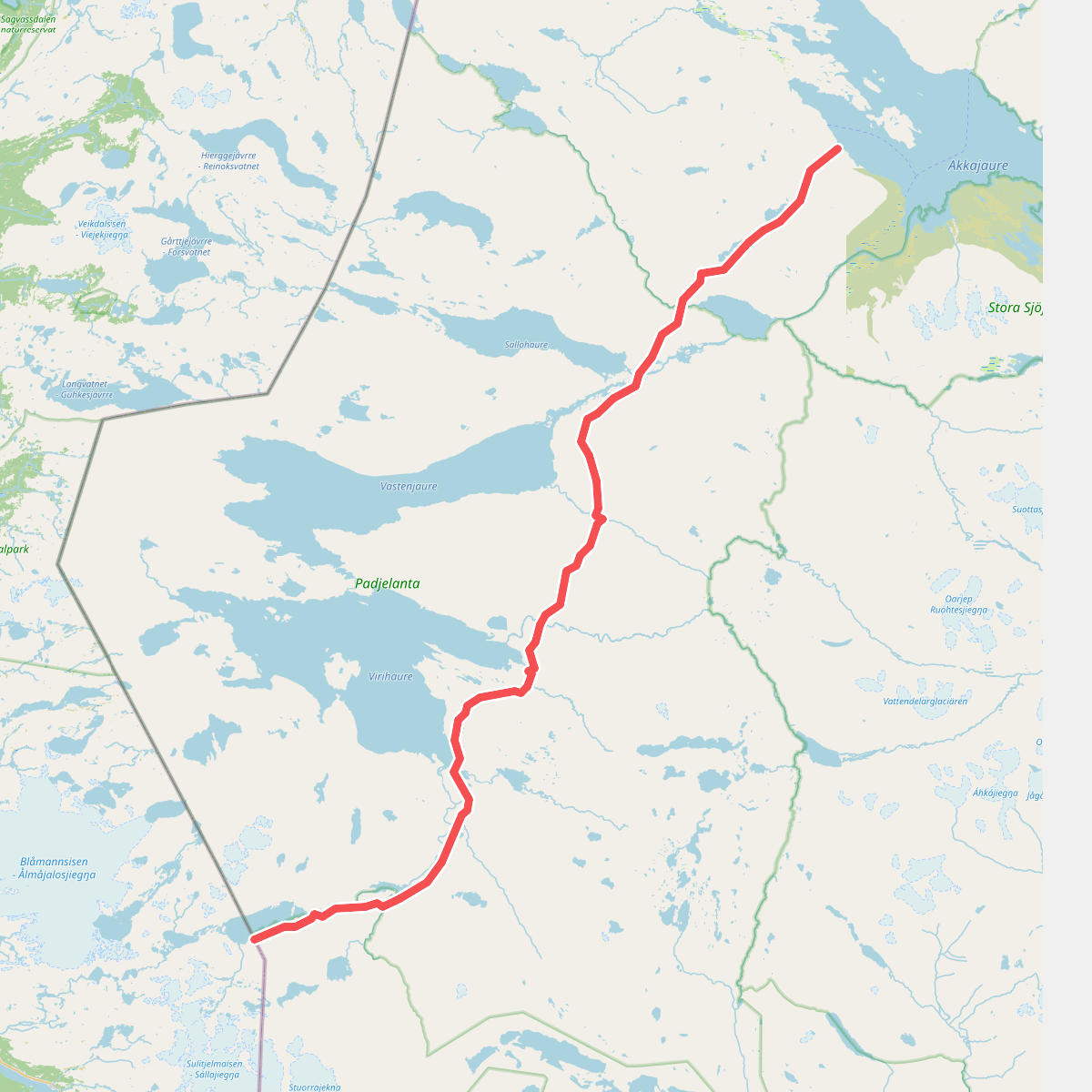
Stora Sjöfallet National Park is defined by a stark division between its northern and southern halves, split by the Akkajaure reservoir. In the north, walkers encounter steep, barren alpine plateaus and the prominent twin peaks of Kallaktjåkkå, where the terrain is dominated by blocky boulder fields and dwarf birch heath. South of the lake, the landscape softens into ancient pine forests and birch woodlands that cover the lower slopes of the massive Akka massif. This is a landscape shaped by heavy glaciation, visible in the deep u-shaped valleys and the dramatic terraced waterfalls that give the park its name.
Read more
About Stora Sjöfallet
Stora Sjöfallet National Park is defined by a stark division between its northern and southern halves, split by the Akkajaure reservoir. In the north, walkers encounter steep, barren alpine plateaus and the prominent twin peaks of Kallaktjåkkå, where the terrain is dominated by blocky boulder fields and dwarf birch heath. South of the lake, the landscape softens into ancient pine forests and birch woodlands that cover the lower slopes of the massive Akka massif. This is a landscape shaped by heavy glaciation, visible in the deep u-shaped valleys and the dramatic terraced waterfalls that give the park its name.
Read moreStora Sjöfallet National Park is defined by a stark division between its northern and southern halves, split by the Akkajaure reservoir. In the north, walkers encounter steep, barren alpine plateaus and the prominent twin peaks of Kallaktjåkkå, where the terrain is dominated by blocky boulder fields and dwarf birch heath. South of the lake, the landscape softens into ancient pine forests and birch woodlands that cover the lower slopes of the massive Akka massif. This is a landscape shaped by heavy glaciation, visible in the deep u-shaped valleys and the dramatic terraced waterfalls that give the park its name.
Underfoot, the hiking conditions vary significantly depending on your elevation. Lowland trails through the pine forests often feature soft pine needle paths interspersed with exposed tree roots and boggy sections where wooden boardwalks are laid. As you ascend above the treeline, the soil thins out, leaving walkers to navigate rough, stony tracks, loose scree, and wide boulder fields where route-finding relies on stone cairns rather than a clear path. The lack of bridges over smaller meltwater streams means wading is occasionally required.
This park is best suited for self-sufficient walkers prepared for rugged, trackless terrain, as it lacks the dense network of serviced cabins found in some neighbouring areas. While the area near the road and the main waterfall site receives regular day-trippers, the high alpine zones and the southern shores of Akkajaure remain quiet and demanding. Walkers should not expect manicured paths or signposted loops; instead, the park offers direct access to raw, high-latitude wilderness where route planning requires careful map reading.