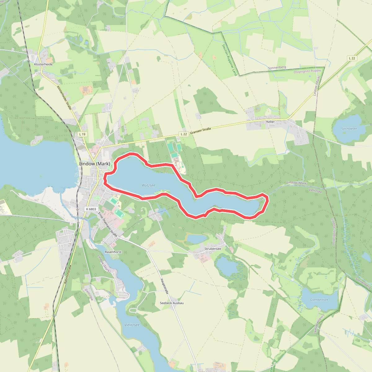
The best hiking routes in Stechlin-Ruppiner Land
Discover the best walks in Stechlin-Ruppiner Land. 12 routes on the map, with descriptions, photos and GPX.
About Stechlin-Ruppiner Land
Stechlin-Ruppiner Land is a forested lake district in northern Brandenburg, shaped by the last ice age into a landscape of deep glacial lakes, beech forests, and peat bogs. Unlike the drier pine-dominated plains nearby, this area is defined by its ancient deciduous woodlands and exceptionally clear waters, particularly around Lake Stechlin. The terrain is gently rolling rather than hilly, meaning you will encounter steady but mild inclines rather than steep climbs. Underfoot, the paths alternate between soft leaf litter under the beech canopy, sandy tracks that can feel heavy, and occasional damp sections near the bog margins.
Read more
About Stechlin-Ruppiner Land
Stechlin-Ruppiner Land is a forested lake district in northern Brandenburg, shaped by the last ice age into a landscape of deep glacial lakes, beech forests, and peat bogs. Unlike the drier pine-dominated plains nearby, this area is defined by its ancient deciduous woodlands and exceptionally clear waters, particularly around Lake Stechlin. The terrain is gently rolling rather than hilly, meaning you will encounter steady but mild inclines rather than steep climbs. Underfoot, the paths alternate between soft leaf litter under the beech canopy, sandy tracks that can feel heavy, and occasional damp sections near the bog margins.
Read moreStechlin-Ruppiner Land is a forested lake district in northern Brandenburg, shaped by the last ice age into a landscape of deep glacial lakes, beech forests, and peat bogs. Unlike the drier pine-dominated plains nearby, this area is defined by its ancient deciduous woodlands and exceptionally clear waters, particularly around Lake Stechlin. The terrain is gently rolling rather than hilly, meaning you will encounter steady but mild inclines rather than steep climbs. Underfoot, the paths alternate between soft leaf litter under the beech canopy, sandy tracks that can feel heavy, and occasional damp sections near the bog margins.
Walking here offers a distinct contrast between the dense, shaded forest interiors and the open lake shores. In the autumn months of October and November, the beech leaves turn a deep copper, reflecting in the dark waters of the lakes. The area is not a wilderness of vast open views; instead, the horizon is almost always framed by trees, creating a sense of enclosure. While the paths around the main lakes are well-marked and can be busy near the villages, the deeper forest tracks and bog-bordering paths are typically much quieter.
To understand this landscape as you walk, look at the transition from the dry, sandy ridges down to the wet peat depressions. The vegetation changes rapidly from mossy forest floors to damp-loving ferns and reeds within a few meters of elevation change. You will not find dramatic viewpoints or rocky outcrops here, but rather a quiet, repeating pattern of water, beech forest, and marshy hollows that requires slow exploration to fully appreciate.
Hiking routes in Stechlin-Ruppiner Land (12)
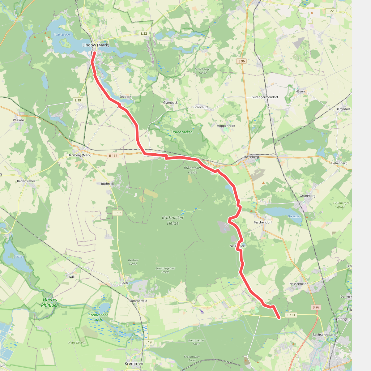
#1. Blauer Balken
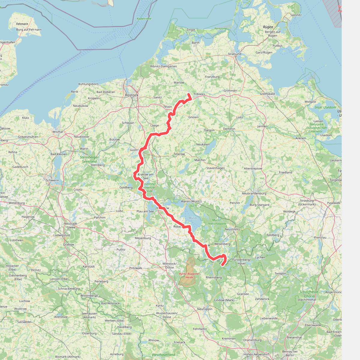
#2. Europäischer Fernwanderweg E10, Deutschland, Mecklenburg
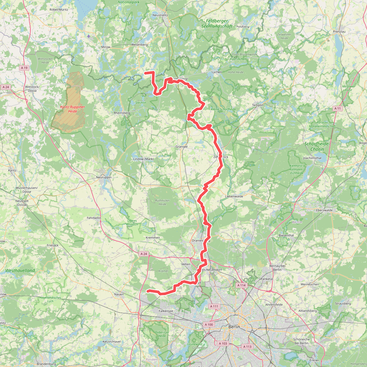
#3. European hiking path E10, Germany, Alternative
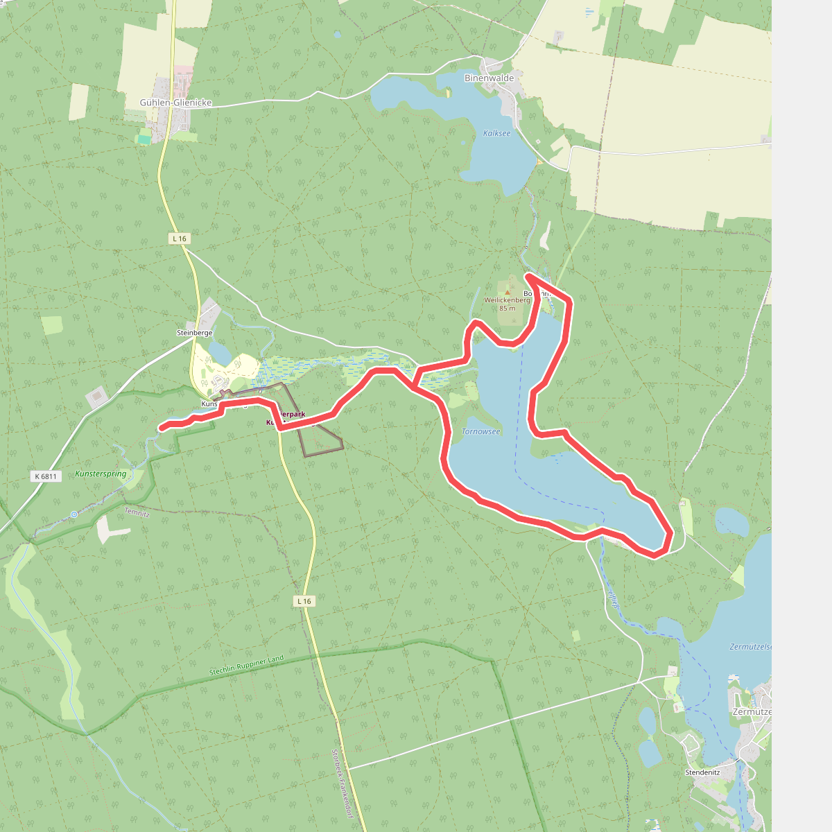
#4. Fontanewanderweg
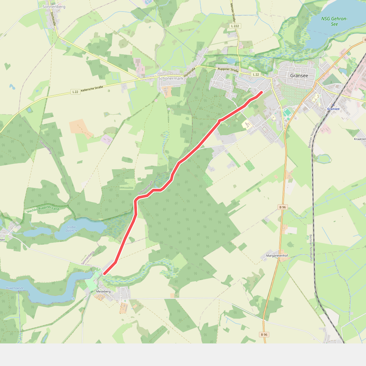
#5. Gransee-Meseberg
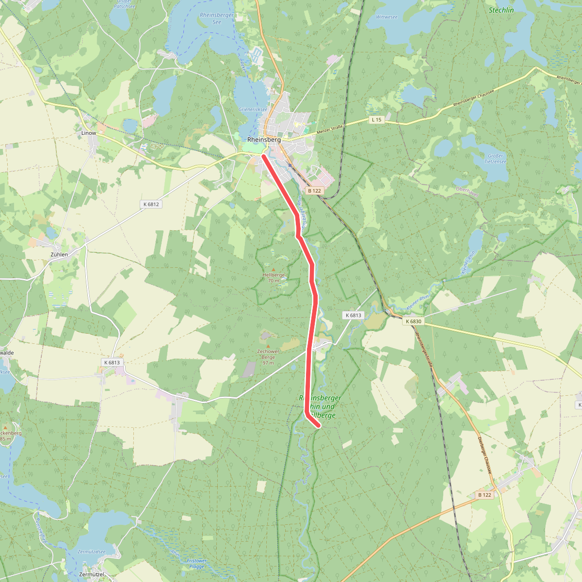
#6. Grüner Balken
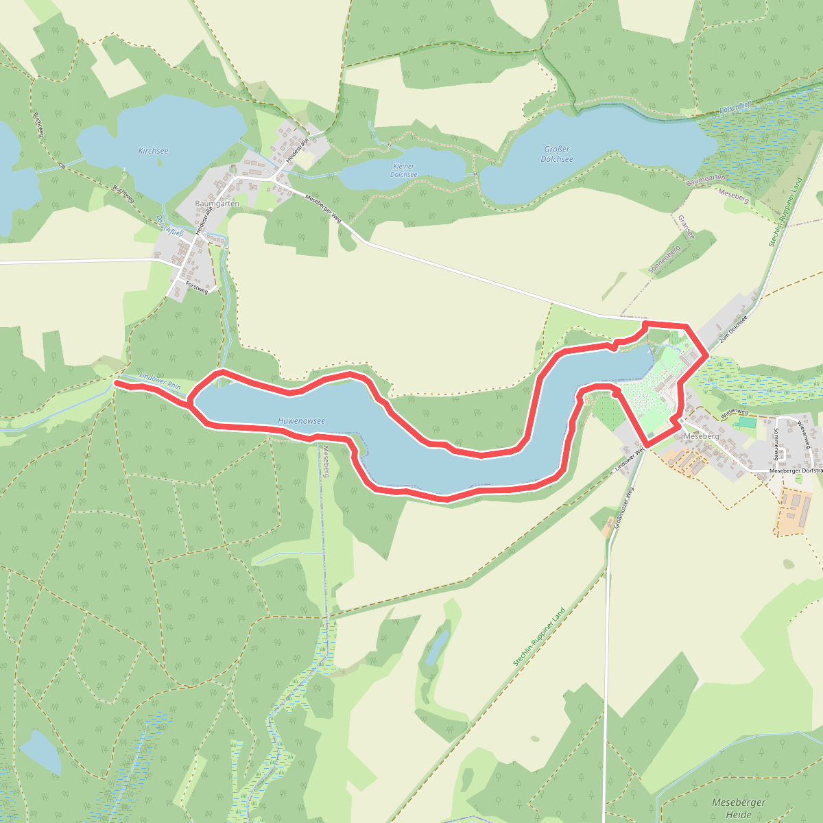
#7. Huwenowseerundweg
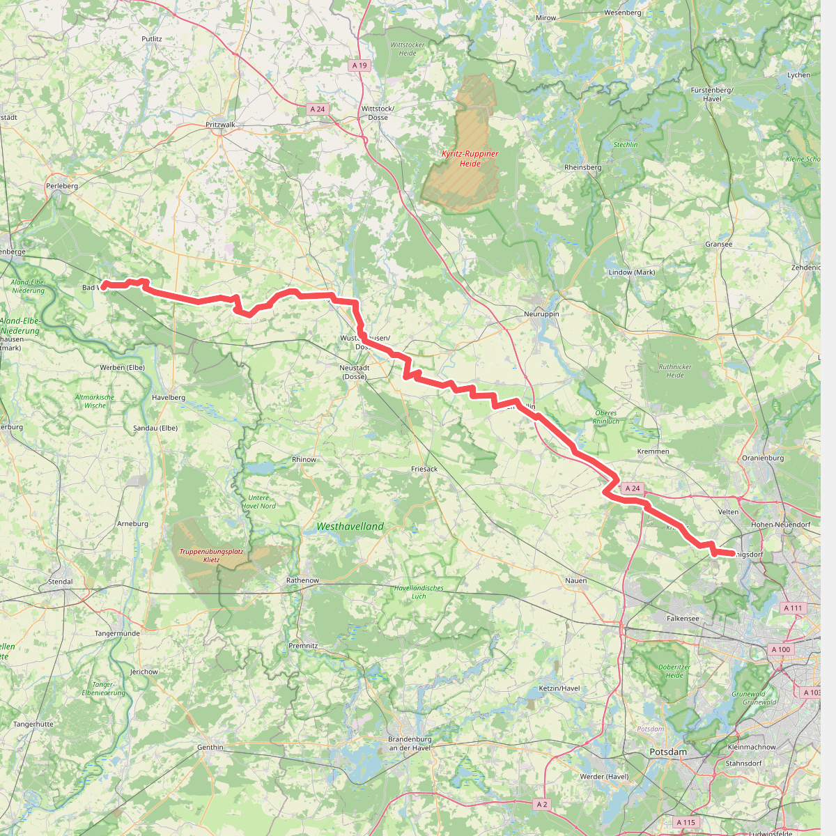
#8. Pilgerweg Berlin - Bad Wilsnack
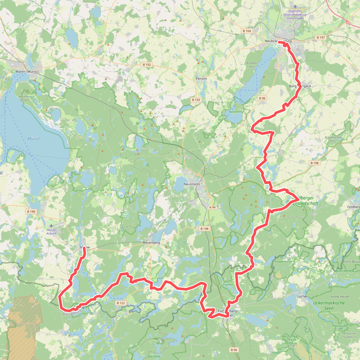
#9. Pilgerweg Mecklenburgische Seenplatte (Südost)
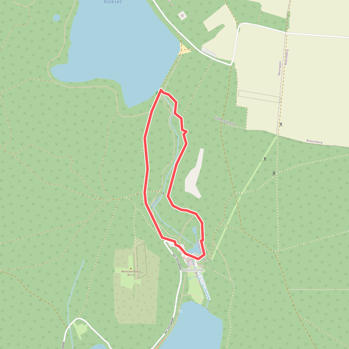
#10. Rundweg Binenbach
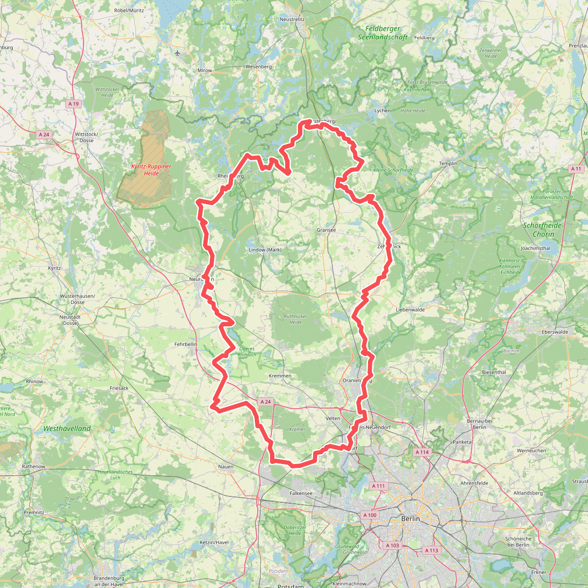
#11. Ruppiner Land-Rundweg (Blauer Punkt)