

The best hiking routes in Springendal & Dal van de Mosbeek
Discover the best walks in Springendal & Dal van de Mosbeek. 57 routes on the map, with descriptions, photos and GPX.
Managed by Landschap Overijssel;Staatsbosbeheer;Natuurmonumenten
About Springendal & Dal van de Mosbeek
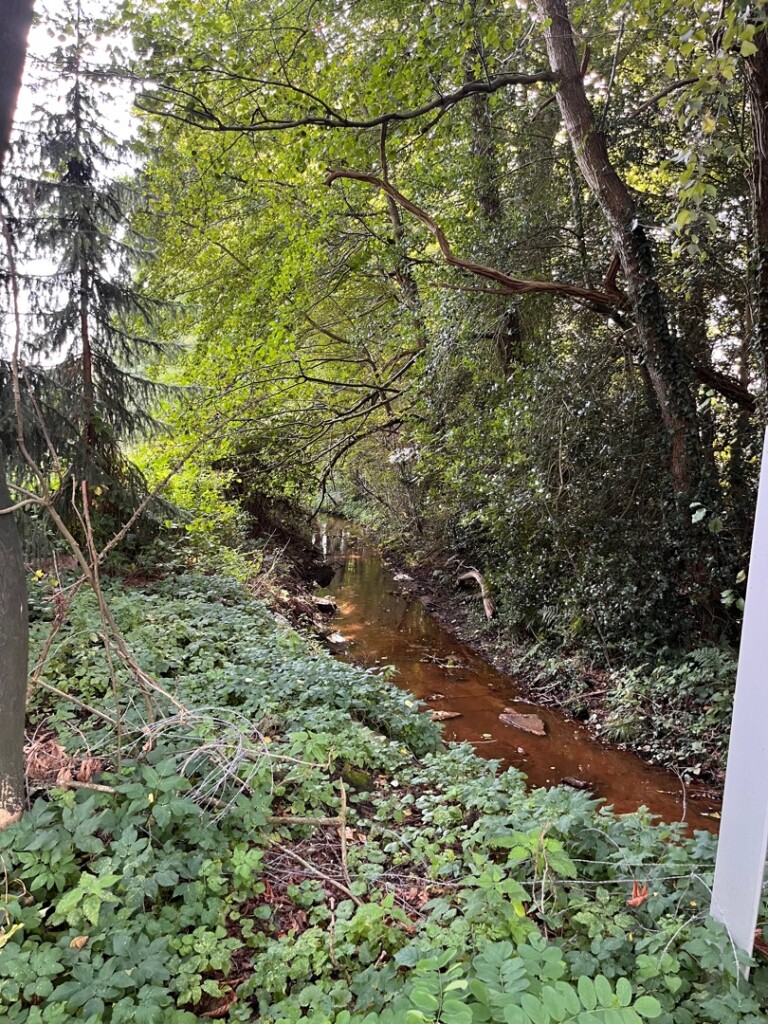
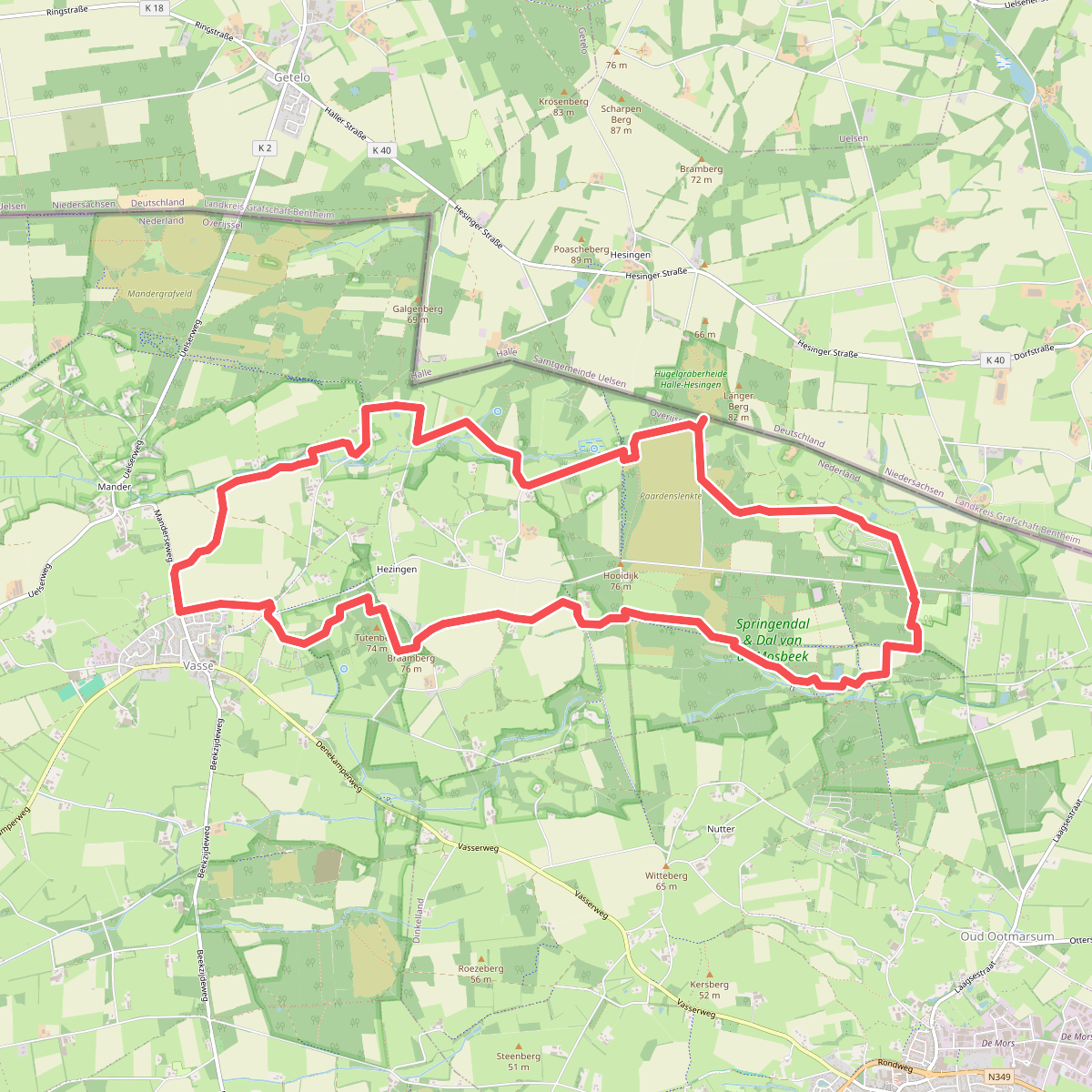
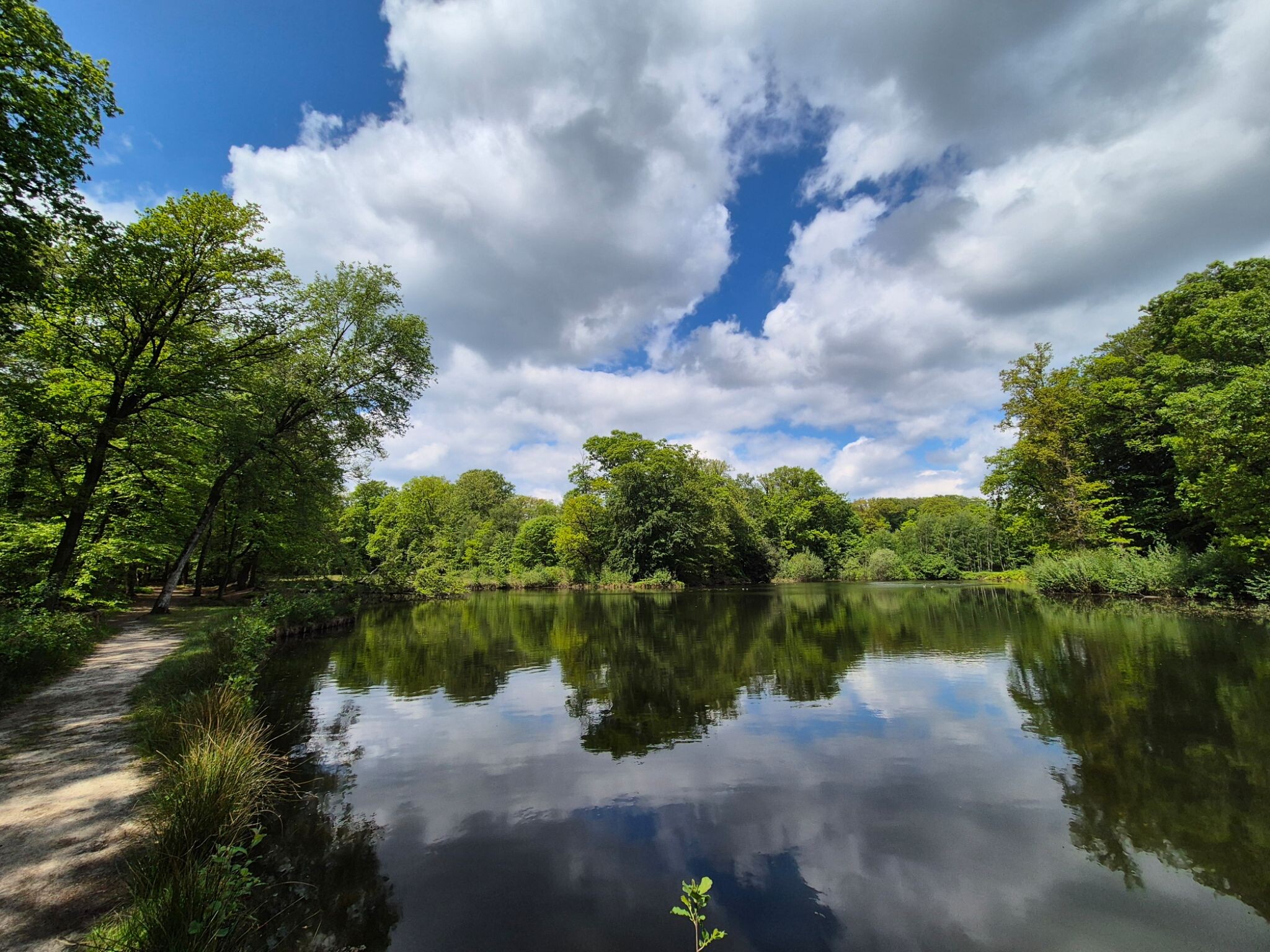
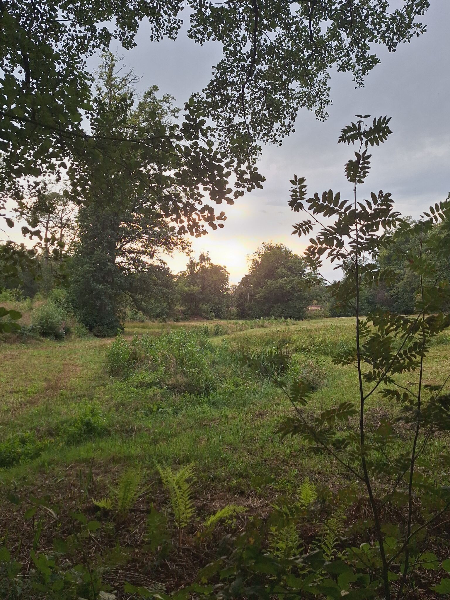
Springendal & Dal van de Mosbeek is a landscape shaped by water rising from the base of a moraine ridge. Unlike the dry, flat pine forests found elsewhere in the region, this reserve is defined by its constant, visible moisture. As you walk, you will cross numerous small streams, pass clear spring ponds, and see water seeping directly out of the hillsides. The terrain is gently rolling, characterized by a mix of damp alder woods, hay meadows, and small-scale agricultural fields bordered by thick hedgerows.
Read more
About Springendal & Dal van de Mosbeek
Springendal & Dal van de Mosbeek is a landscape shaped by water rising from the base of a moraine ridge. Unlike the dry, flat pine forests found elsewhere in the region, this reserve is defined by its constant, visible moisture. As you walk, you will cross numerous small streams, pass clear spring ponds, and see water seeping directly out of the hillsides. The terrain is gently rolling, characterized by a mix of damp alder woods, hay meadows, and small-scale agricultural fields bordered by thick hedgerows.
Read moreSpringendal & Dal van de Mosbeek is a landscape shaped by water rising from the base of a moraine ridge. Unlike the dry, flat pine forests found elsewhere in the region, this reserve is defined by its constant, visible moisture. As you walk, you will cross numerous small streams, pass clear spring ponds, and see water seeping directly out of the hillsides. The terrain is gently rolling, characterized by a mix of damp alder woods, hay meadows, and small-scale agricultural fields bordered by thick hedgerows.
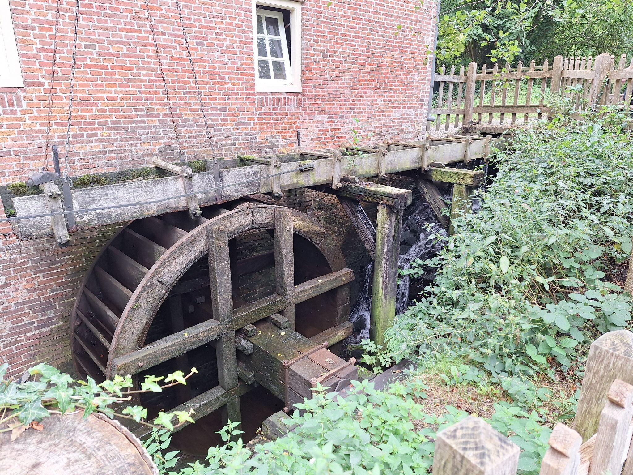
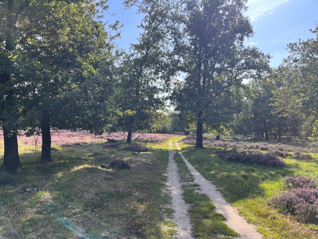
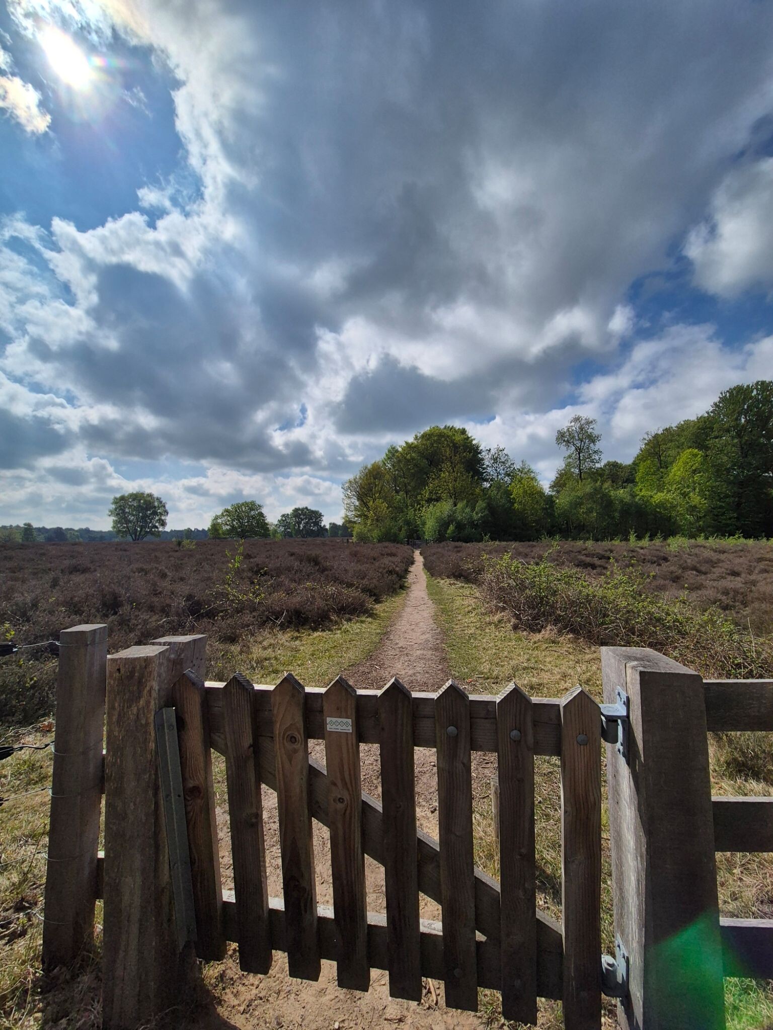
Underfoot, the paths vary between firm sandy tracks on the higher ground and damp, muddy paths in the lower valleys. In the wettest sections near the springs, wooden boardwalks are laid out to keep your boots dry. The area is managed by three different conservation organizations, which means the trail markings and forest management styles change slightly as you cross invisible borders. It is a highly cultivated historical landscape, not a wild wilderness, so you will frequently encounter gravel paths, small paved lanes, and historic watermills.
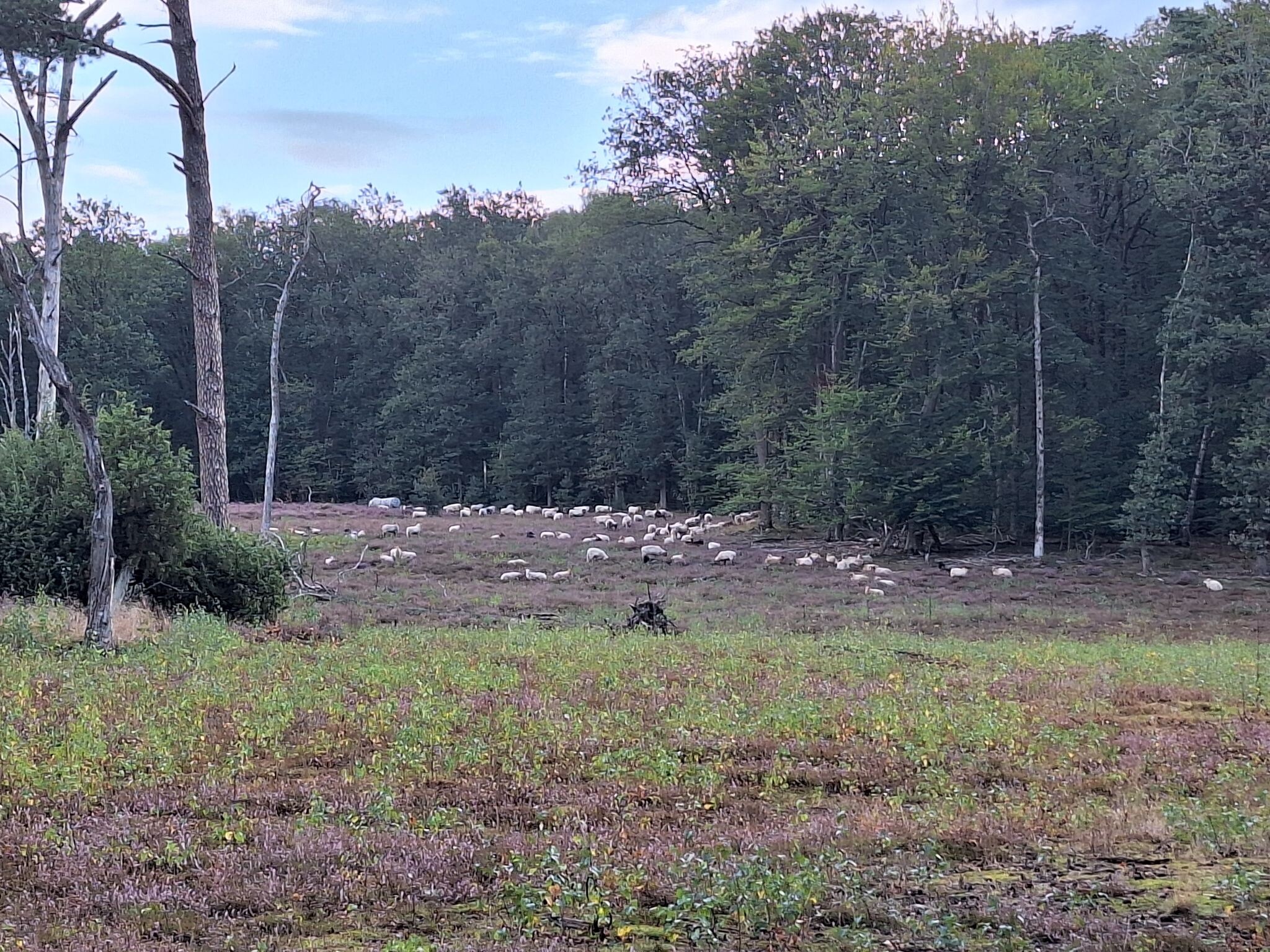
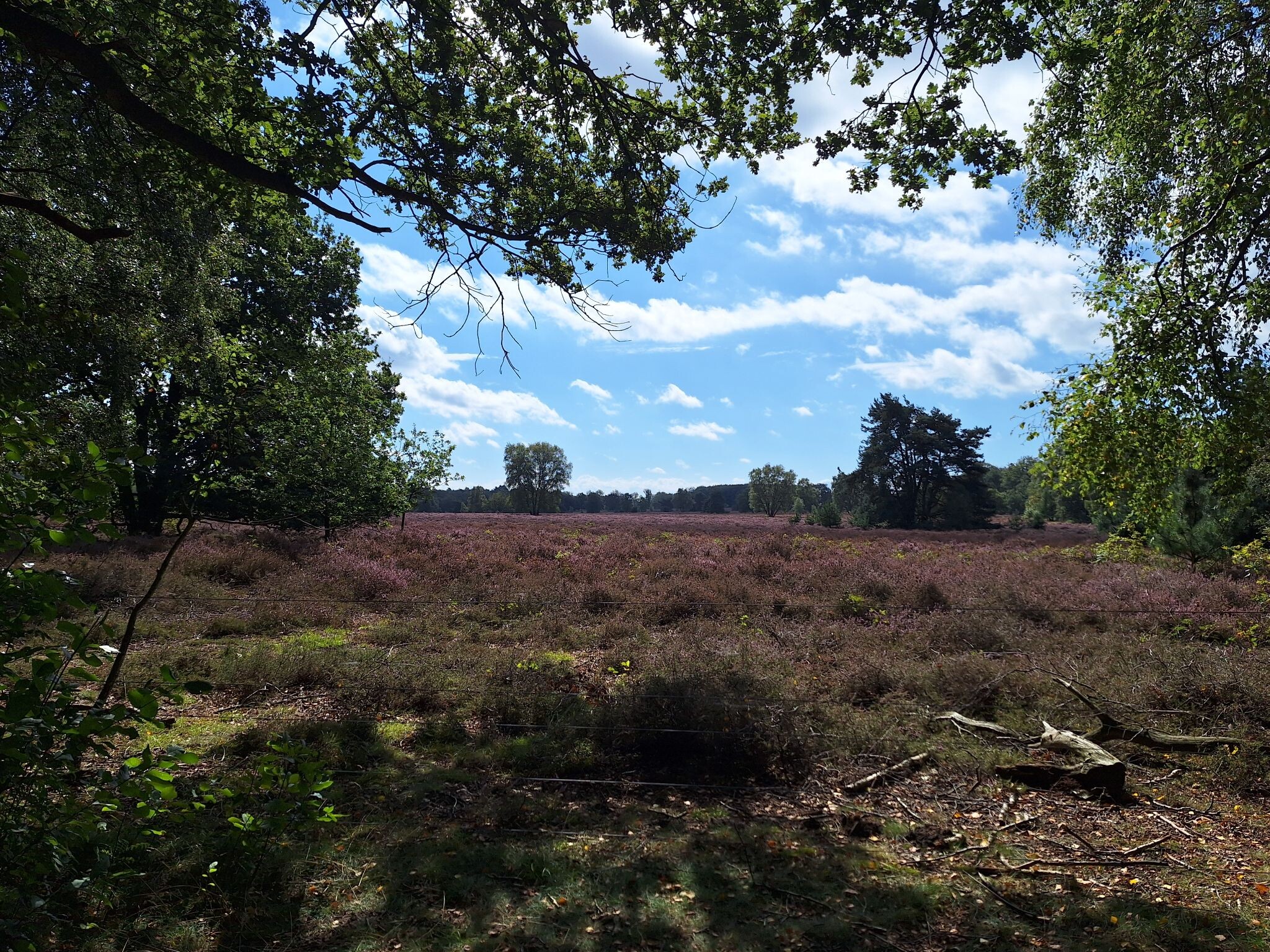
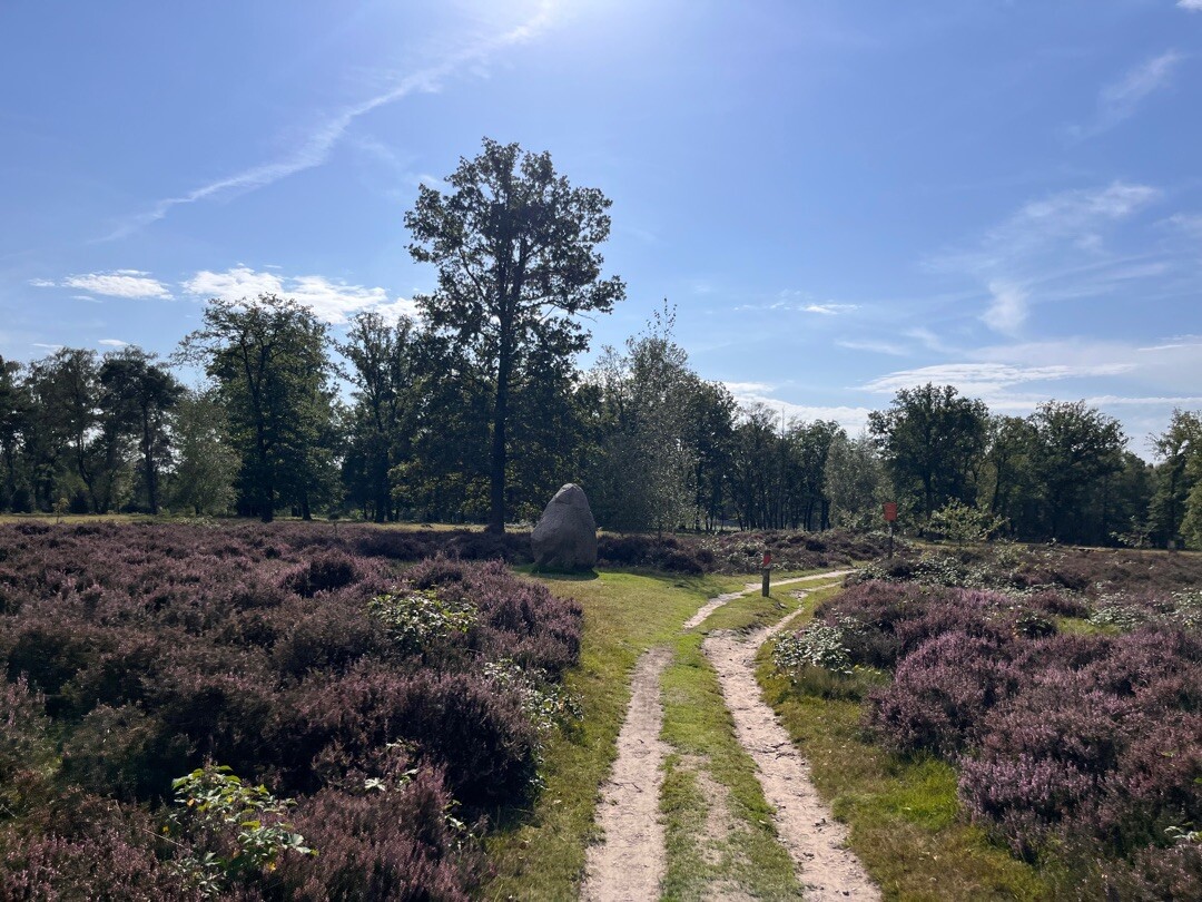
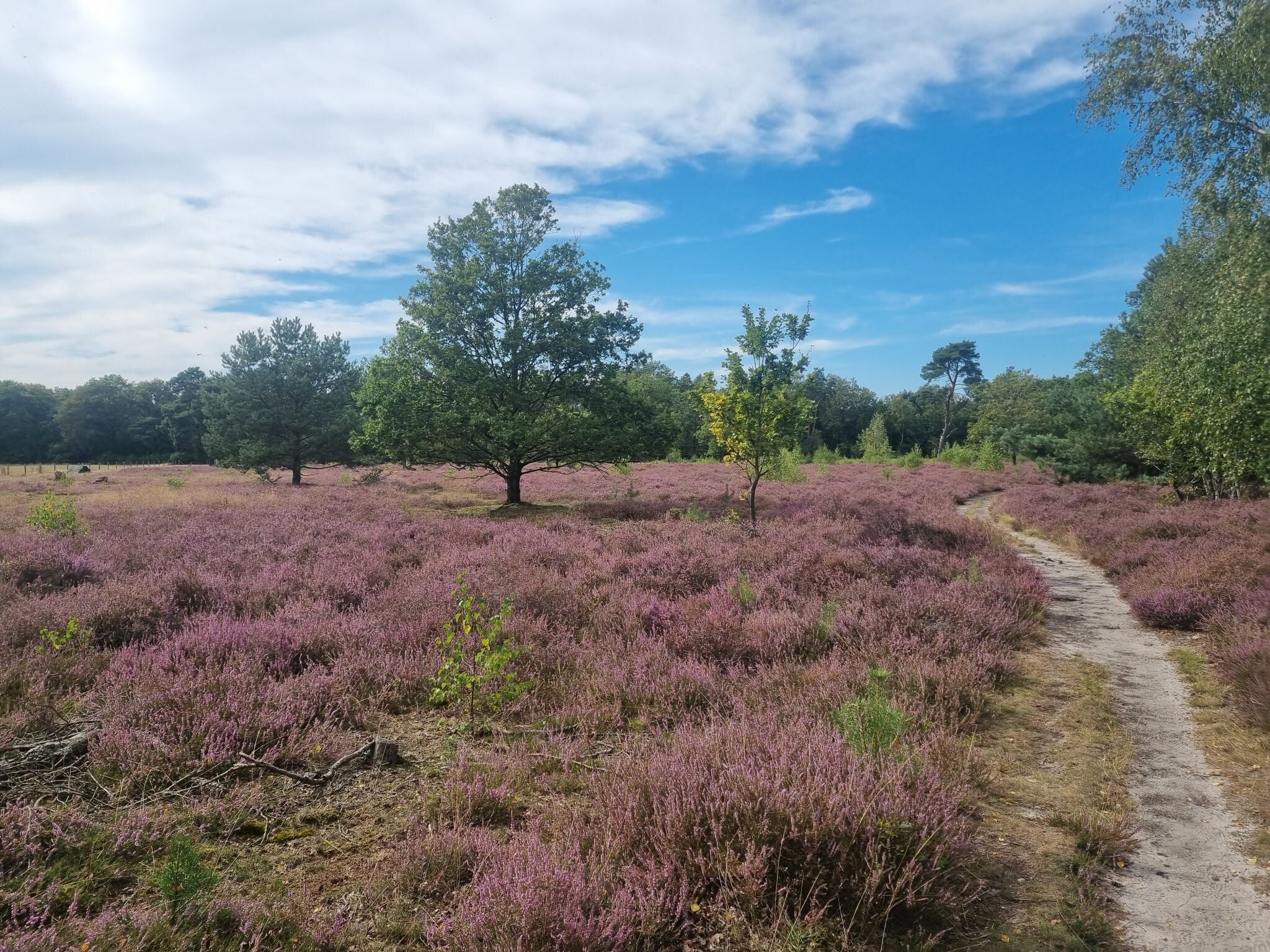
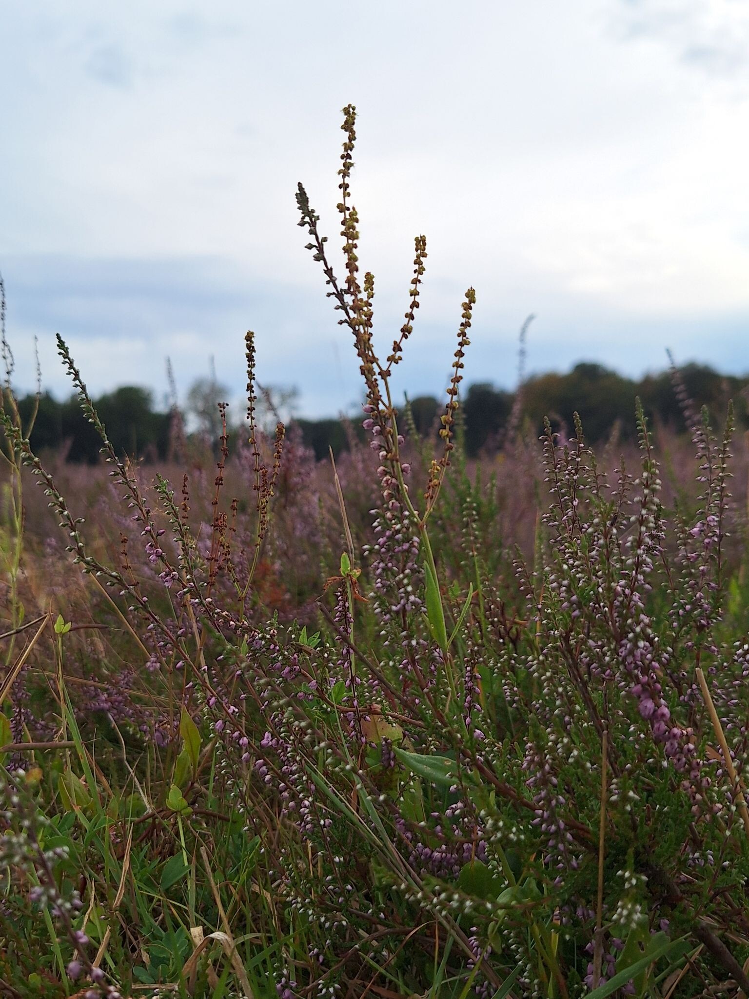
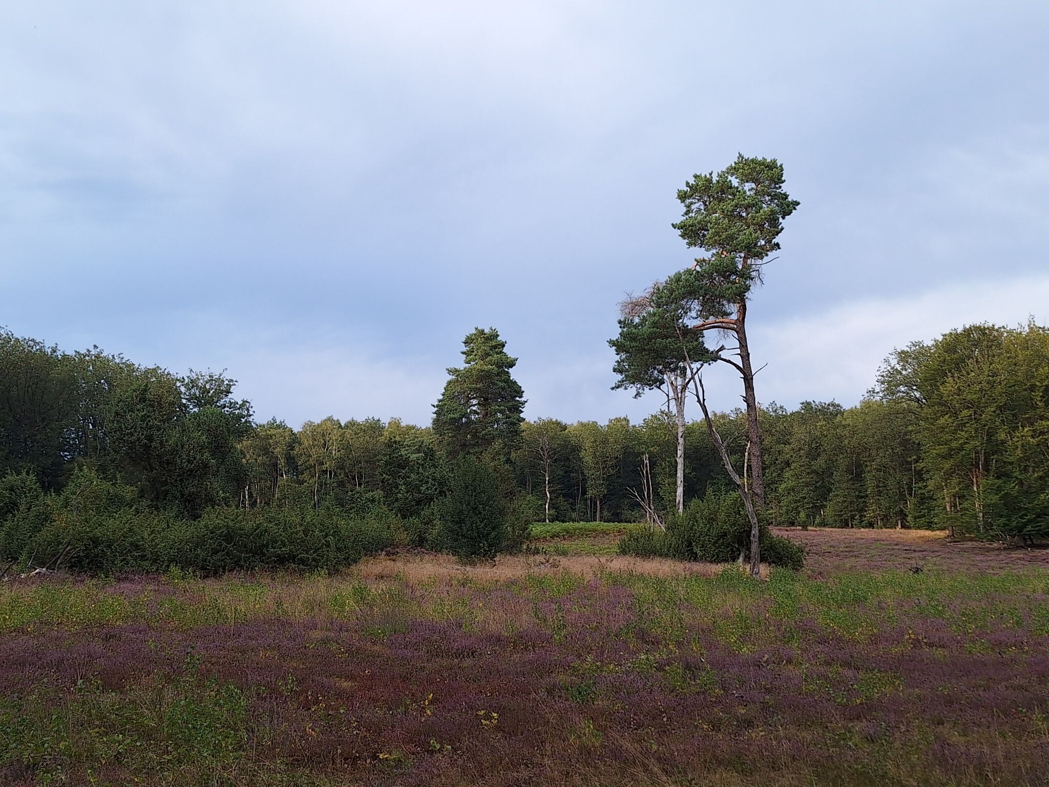
In August and September, the small patches of wet heathland turn purple, contrasting with the deep green of the valley woods. The area is popular with local cyclists and walkers, meaning the paths around the main parking lots and the watermills can be busy, though the narrow footpaths along the spring streams offer a quieter experience. Choose this area if you prefer intimate, enclosed landscapes with constant water features over wide, open vistas.
Hiking routes in Springendal & Dal van de Mosbeek (57)
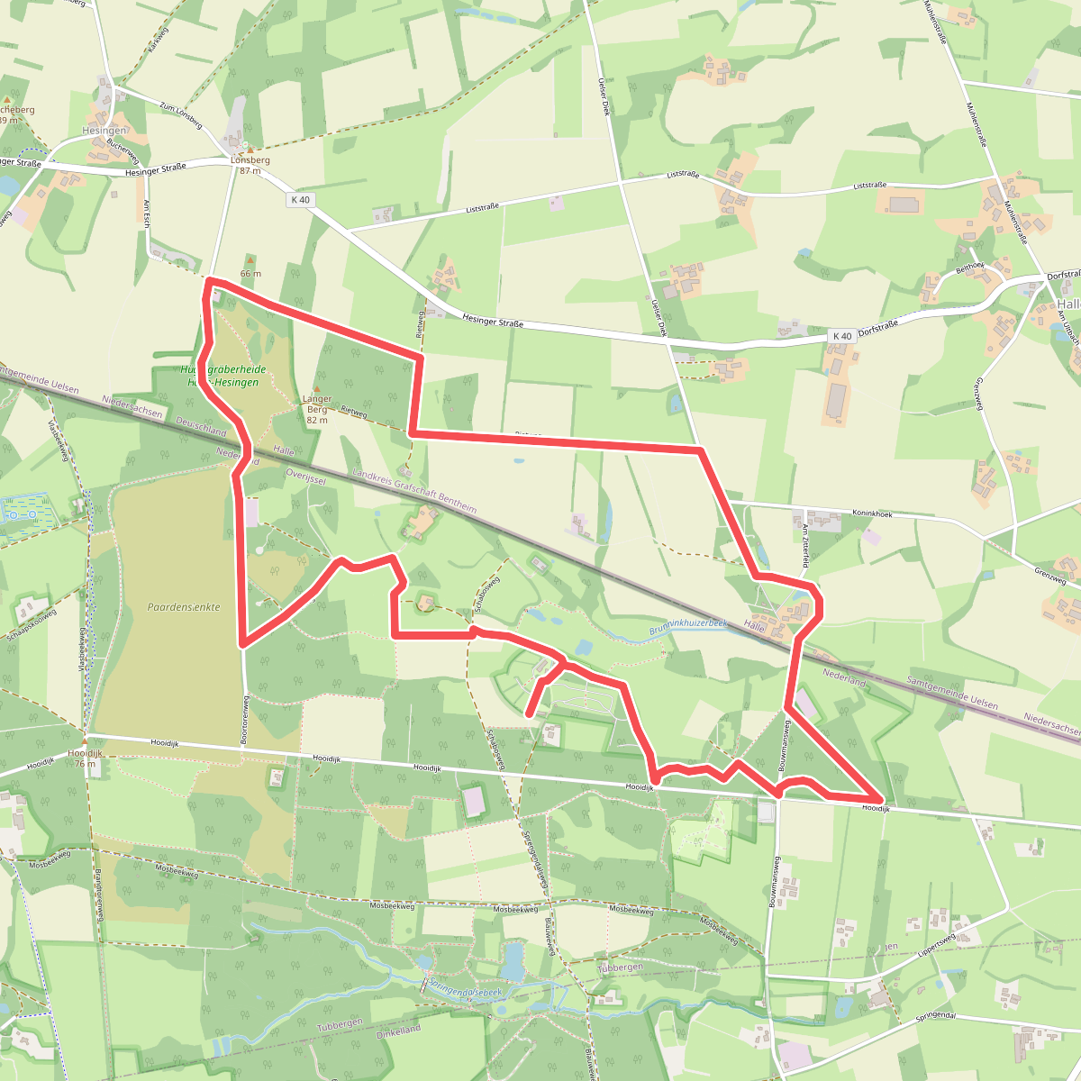
#1. Springendal - Blauw
Hezingen
#2. Weg van Vasse
Mander,Hezingen
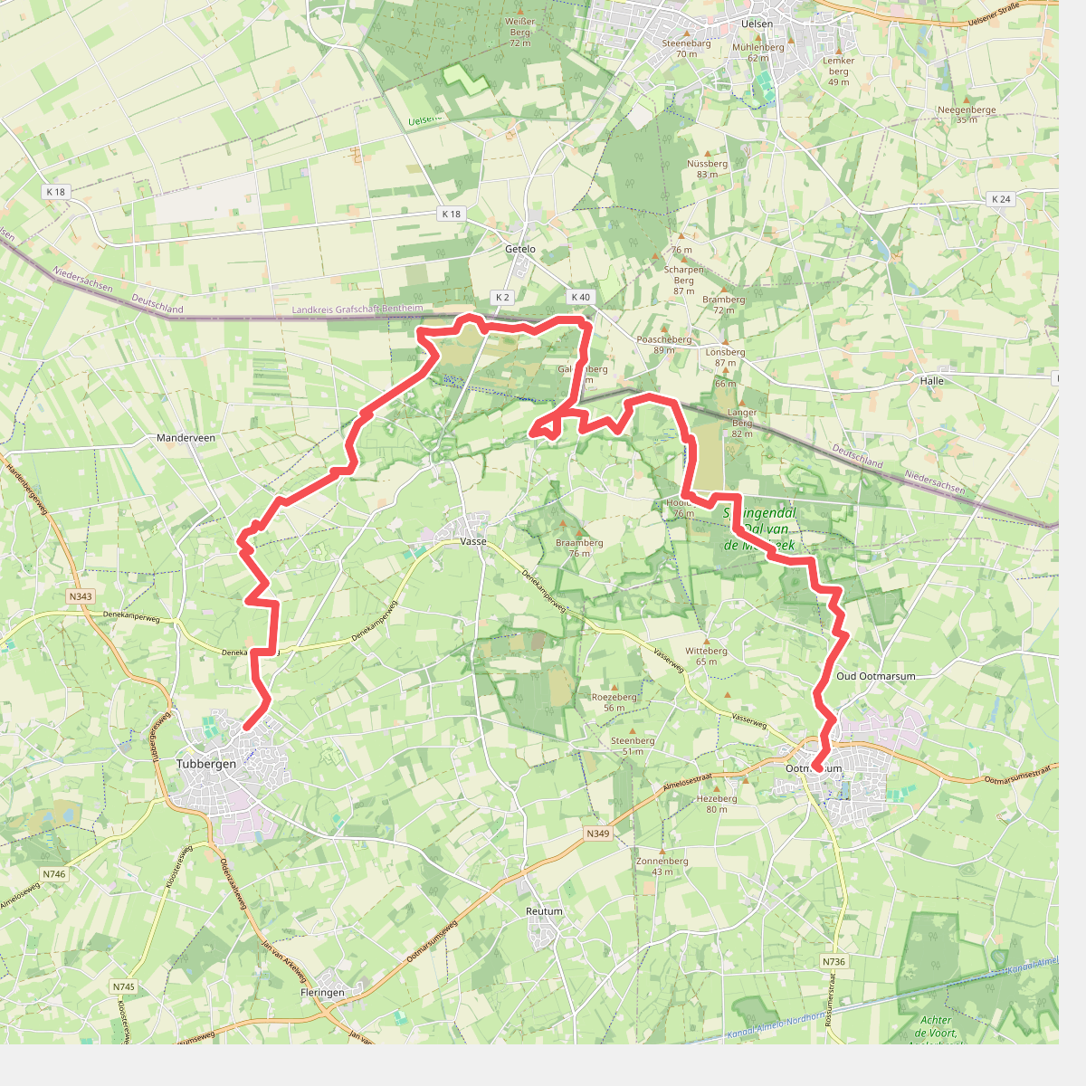
#3. Tubbergen - Ootmarsum · Twentepad etappe 2
Tubbergen,Manderveen,Mander,Hezingen,Vasse,Oud Ootmarsum,Ootmarsum
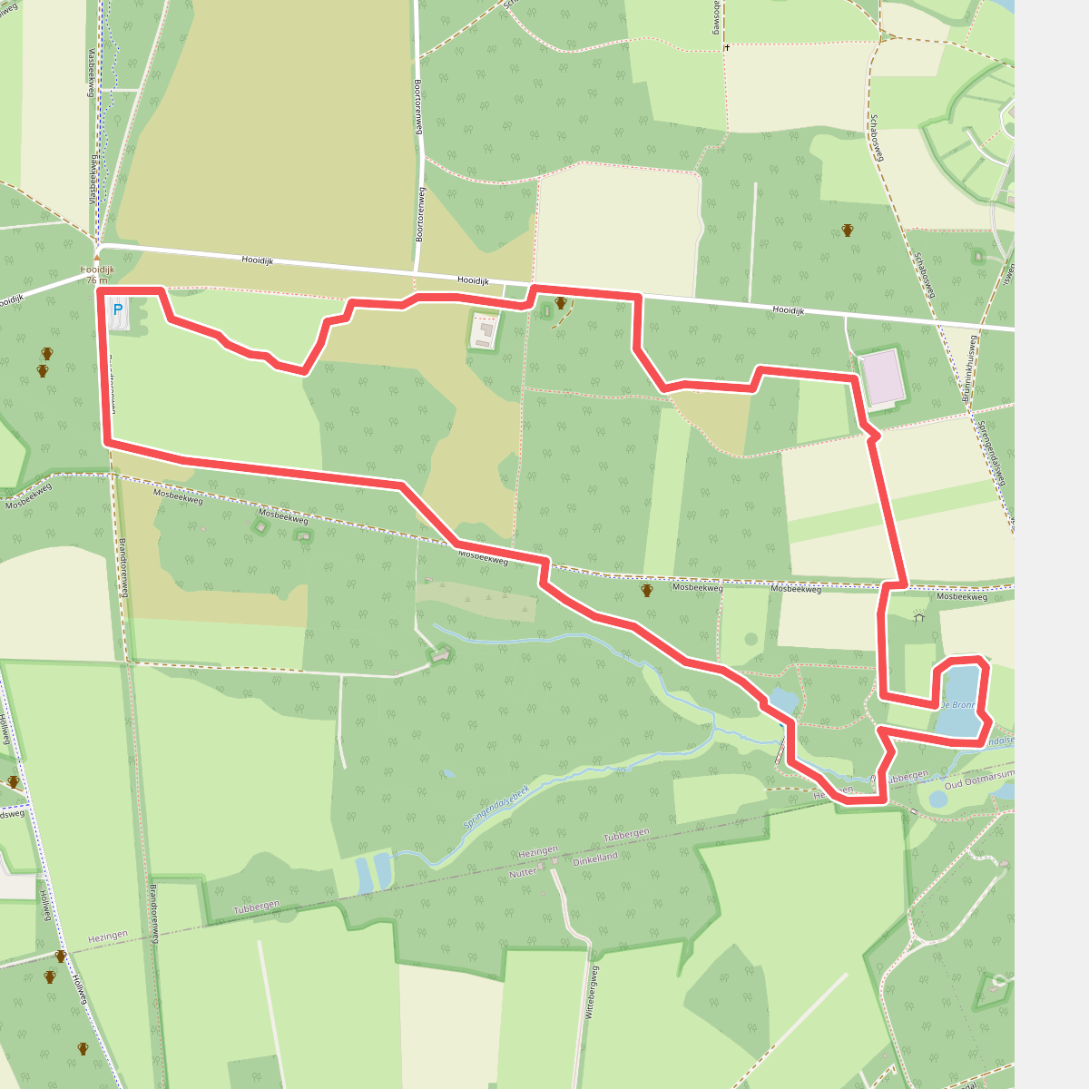
#4. Wandelroute Springendal Bronnenroute
Hezingen
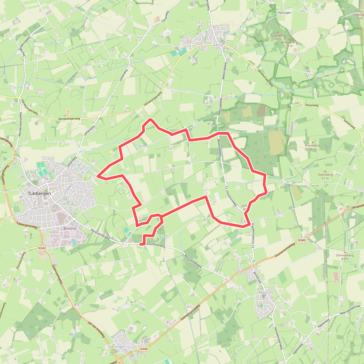
#5. Baasdam - Paars
Tubbergen,Vasse,Haarle,Reutum
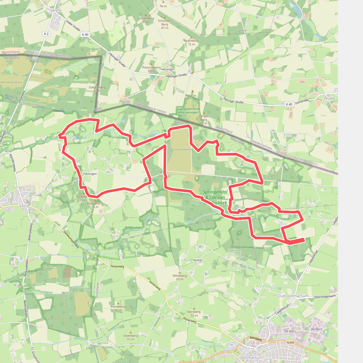
#6. Boswachterspad Springendal
Hezingen,Vasse
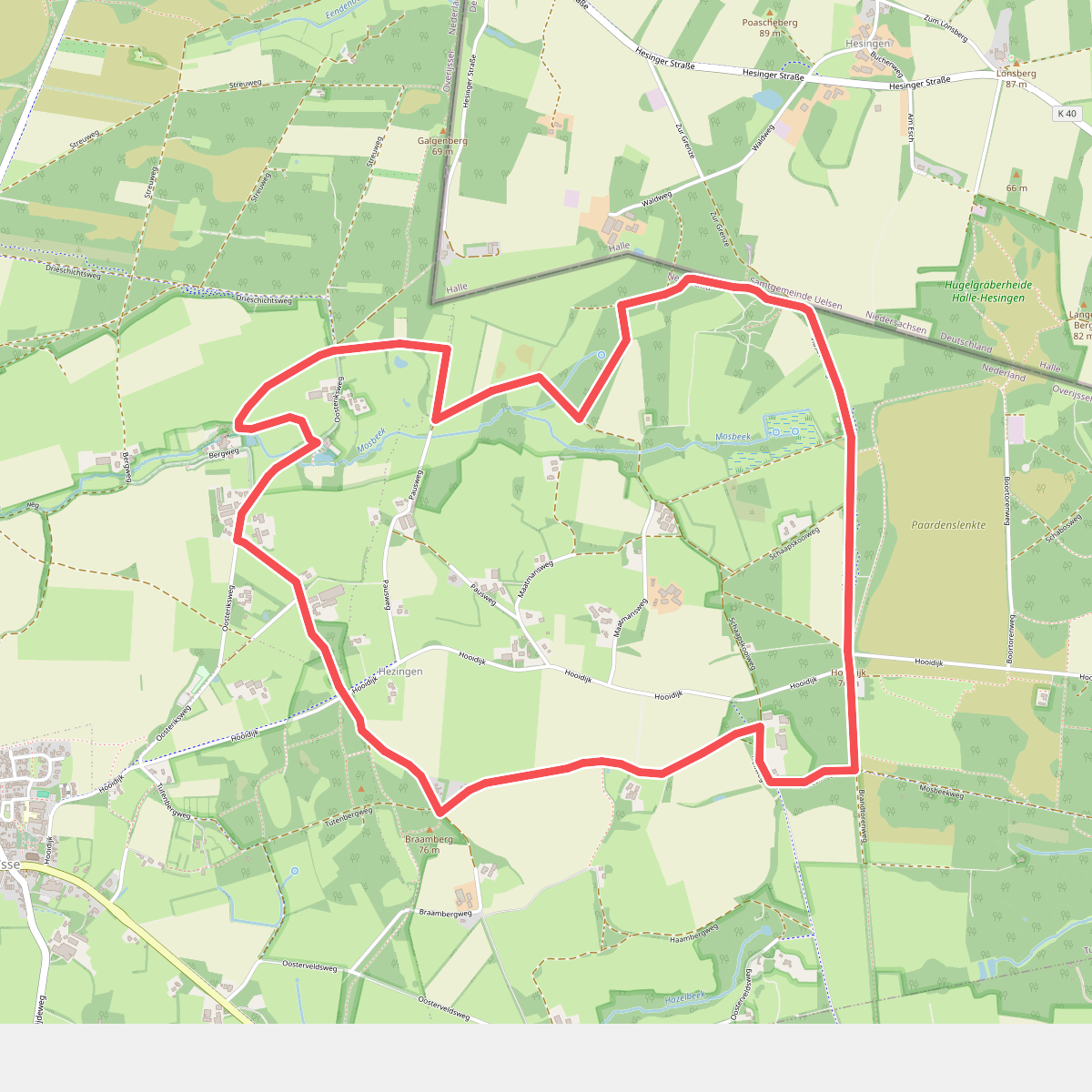
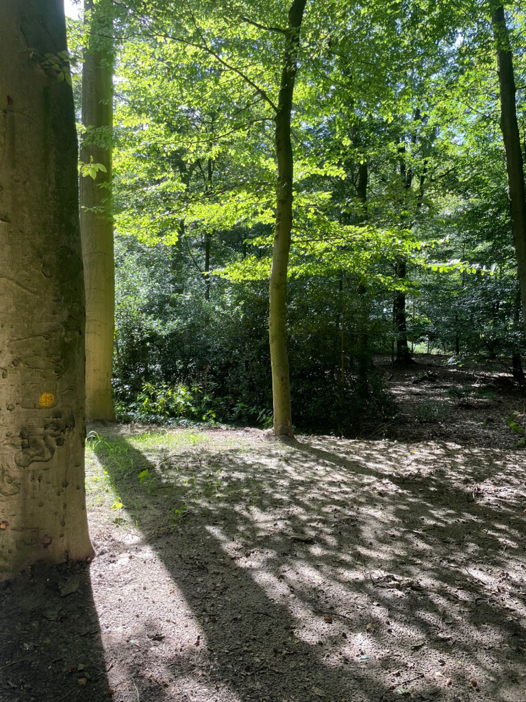
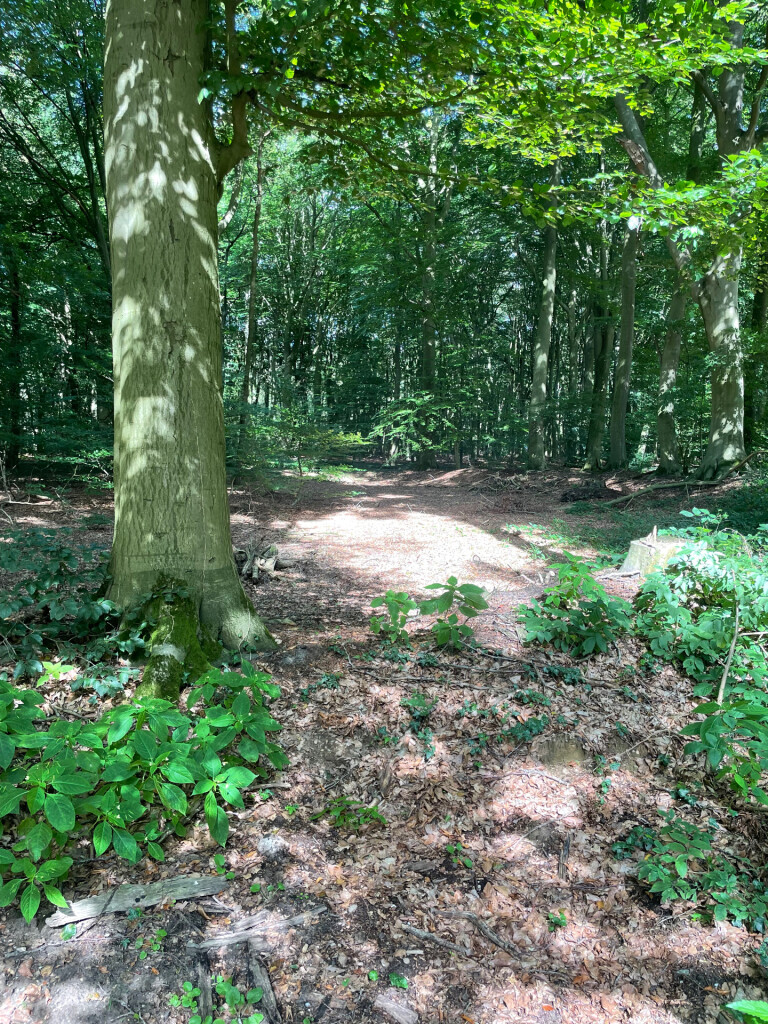
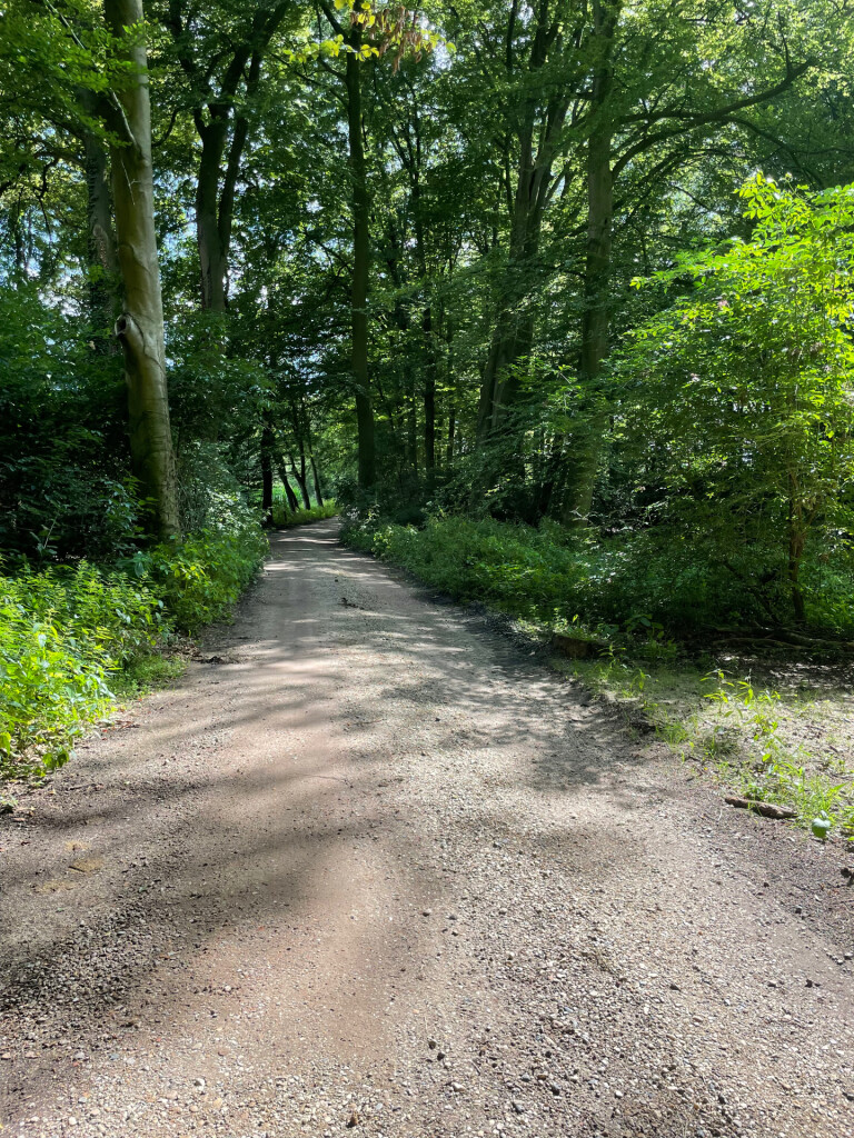
#7. Brandtoren - Blauw
Hezingen,Vasse
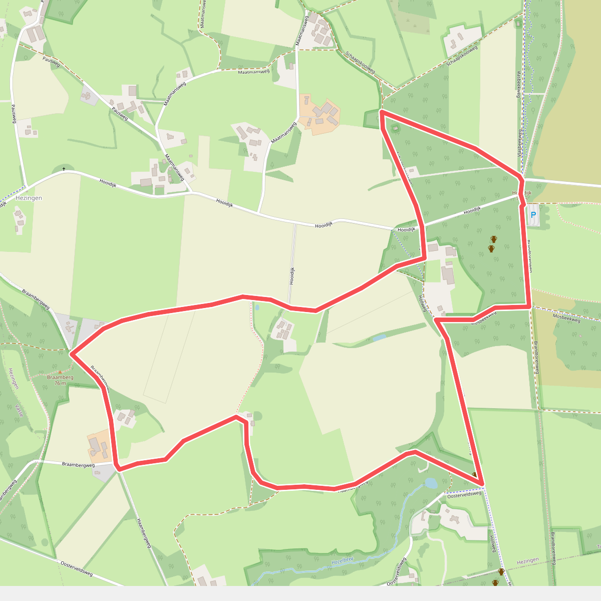
#8. Brandtoren - Geel
Hezingen,Vasse
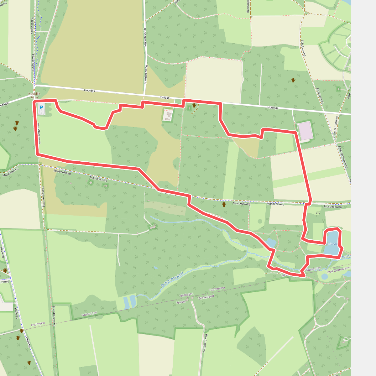
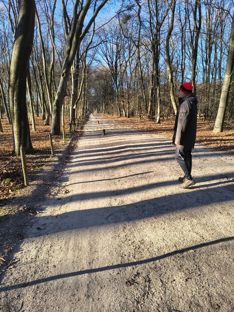
#9. Brandtoren - Groen
Hezingen
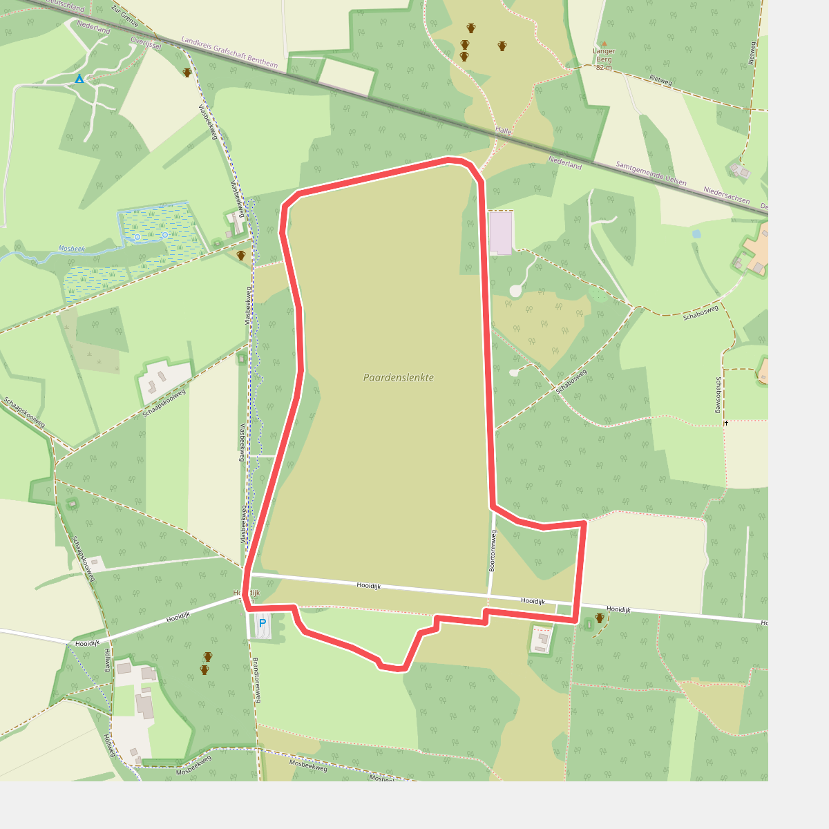
#10. Brandtoren - Oranje
Hezingen
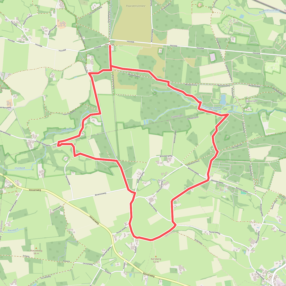
#11. Brandtoren - Paars
Hezingen,Oud Ootmarsum,Nutter,Vasse
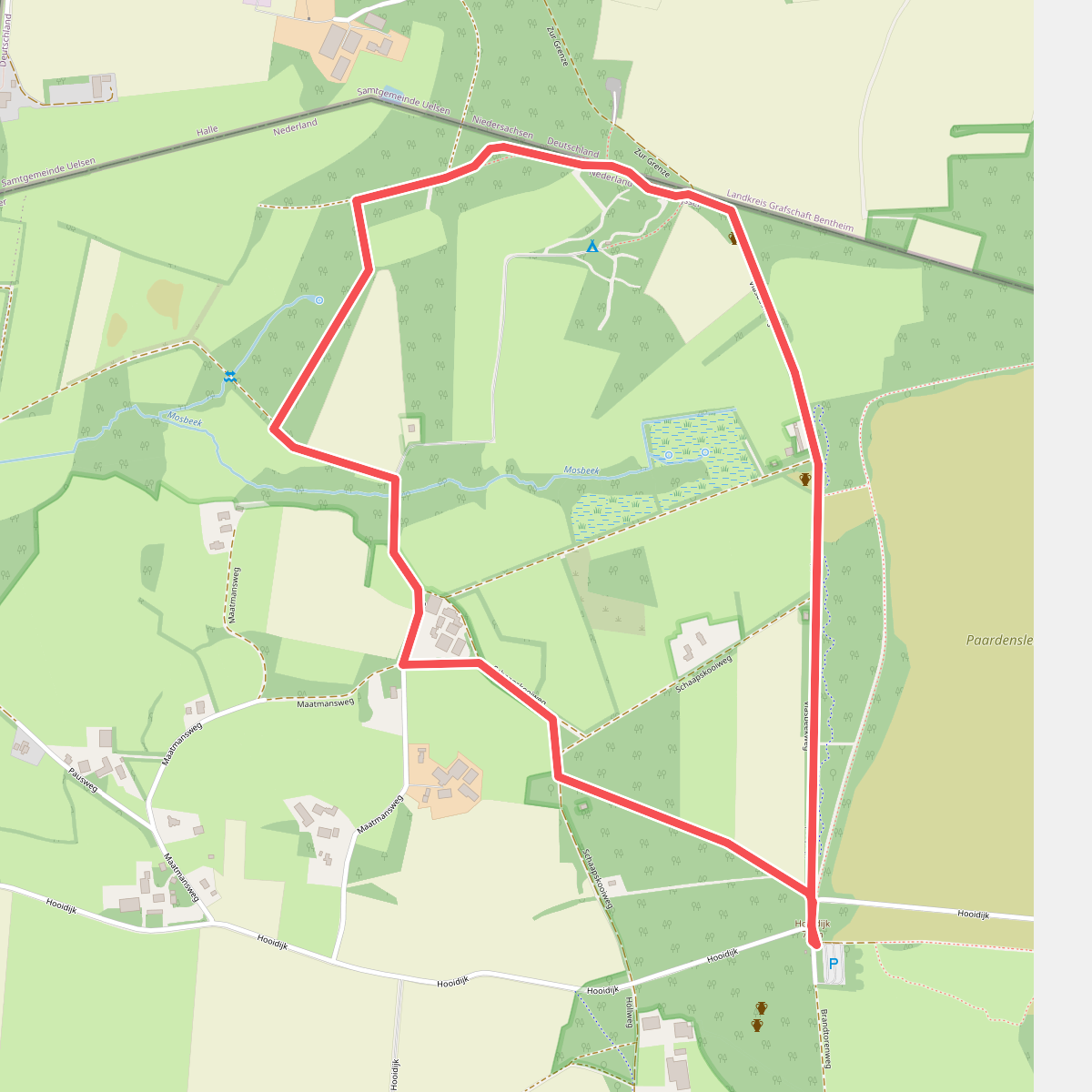
#12. Brandtoren - Rood
Hezingen



