The best hiking routes in Sperrin AONB
Discover the best walks in Sperrin AONB. 24 routes on the map, with descriptions, photos and GPX.
About Sperrin AONB
The Sperrin AONB is characterized by its vast, rounded quartzite ridges and extensive blanket bogs rather than sharp, rocky peaks. Walkers here will encounter a landscape of wide, undulating moorland that rises gently to high peat plateaus. The terrain is defined by its deep glaciated valleys, such as the Glenelly Valley, and the absence of dramatic cliffs, offering instead a sense of scale through its broad, open ridges. Underfoot, the ground is dominated by wet peat, heather, and rough grasses, with few formal gravel paths once you leave the valley floors.
Read more
About Sperrin AONB
The Sperrin AONB is characterized by its vast, rounded quartzite ridges and extensive blanket bogs rather than sharp, rocky peaks. Walkers here will encounter a landscape of wide, undulating moorland that rises gently to high peat plateaus. The terrain is defined by its deep glaciated valleys, such as the Glenelly Valley, and the absence of dramatic cliffs, offering instead a sense of scale through its broad, open ridges. Underfoot, the ground is dominated by wet peat, heather, and rough grasses, with few formal gravel paths once you leave the valley floors.
Read moreThe Sperrin AONB is characterized by its vast, rounded quartzite ridges and extensive blanket bogs rather than sharp, rocky peaks. Walkers here will encounter a landscape of wide, undulating moorland that rises gently to high peat plateaus. The terrain is defined by its deep glaciated valleys, such as the Glenelly Valley, and the absence of dramatic cliffs, offering instead a sense of scale through its broad, open ridges. Underfoot, the ground is dominated by wet peat, heather, and rough grasses, with few formal gravel paths once you leave the valley floors.
Navigating this landscape requires an understanding of its wet heath and bog systems. Away from the quiet, paved minor roads that trace the valley bottoms, walking in the Sperrins frequently means traversing pathless, waterlogged peat hags and thick tussock grass. While some popular summits like Sawel Mountain have faint tracks worn into the heather, much of the high ground lacks waymarking or constructed boardwalks. The vegetation is a direct result of the high water table and acidic soil, which supports bog cotton and mosses rather than dry woodland.
In the late summer months of August and September, the hillsides turn a deep purple as the heather blooms, contrasting with the dark brown of the exposed peat cuttings. This is a working agricultural landscape where sheep grazing shapes the vegetation, and active turf cutting is visible along the upland tracks. Walkers should expect rough, uneven ground that demands careful route-finding, as the rounded profiles of the hills can make navigation difficult when low cloud settles over the high peatlands.
Hiking routes in Sperrin AONB (24)
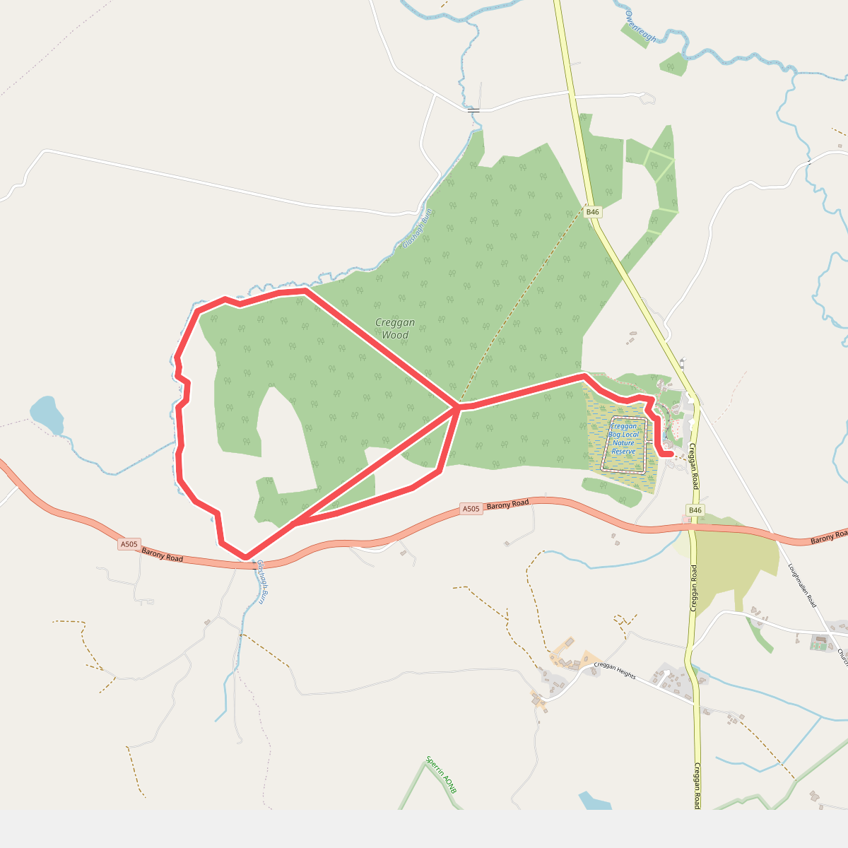
#1. An Creagán Biodiversity Trail
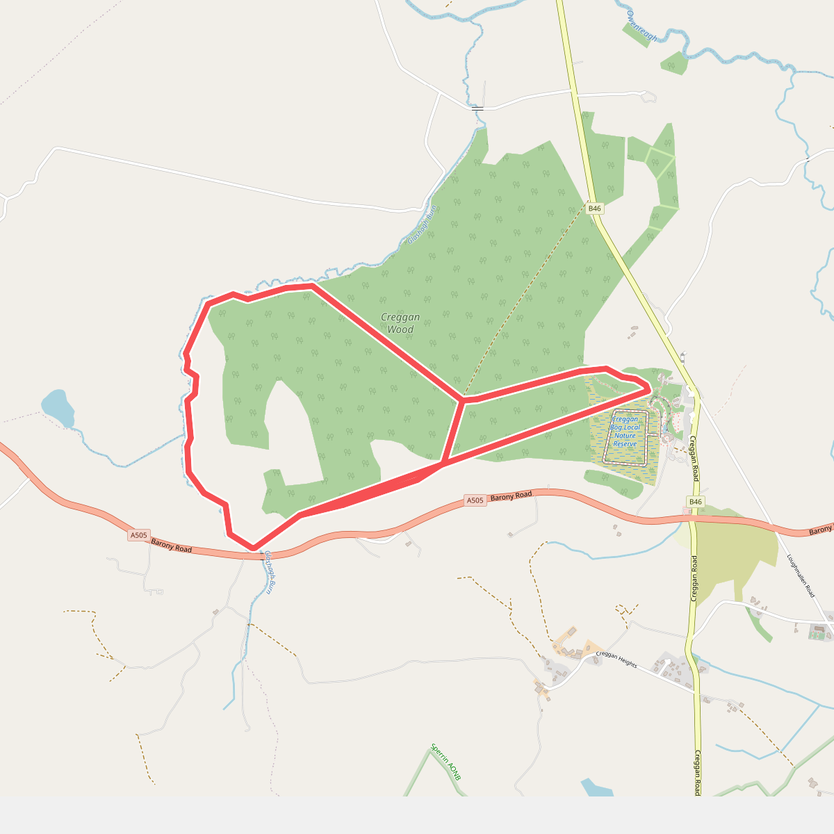
#2. An Creagán, Forest and River Trail
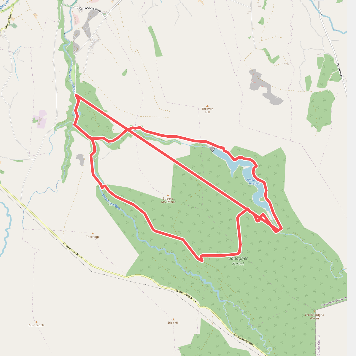
#3. Banagher Glen - Forest Trail
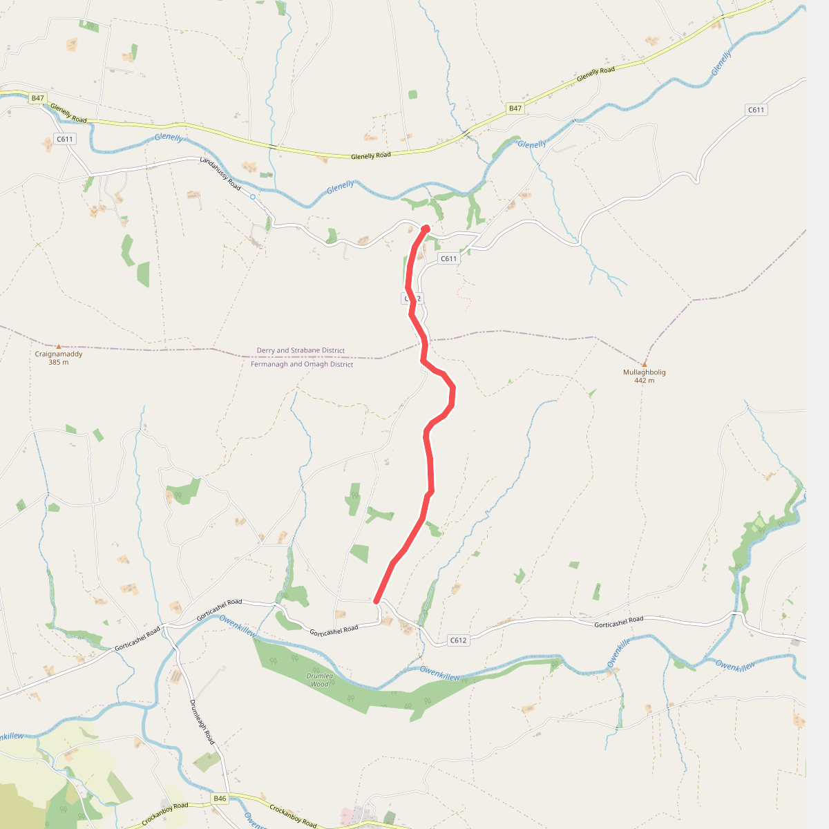
#4. Barnes Gap
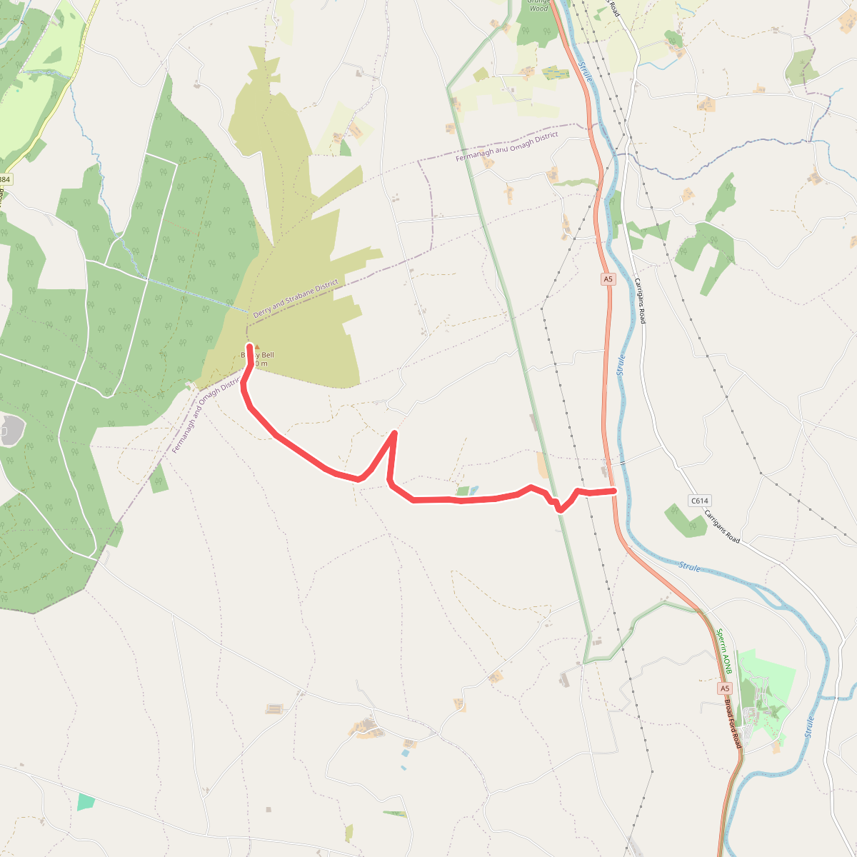
#5. Bessy Bell East
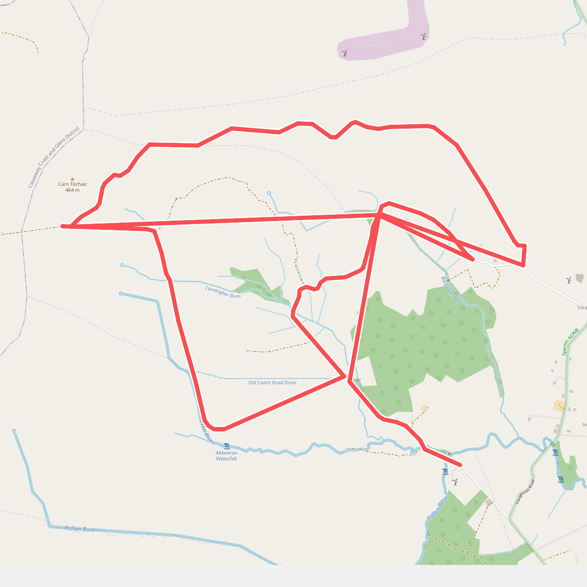
#6. Carntogher Way
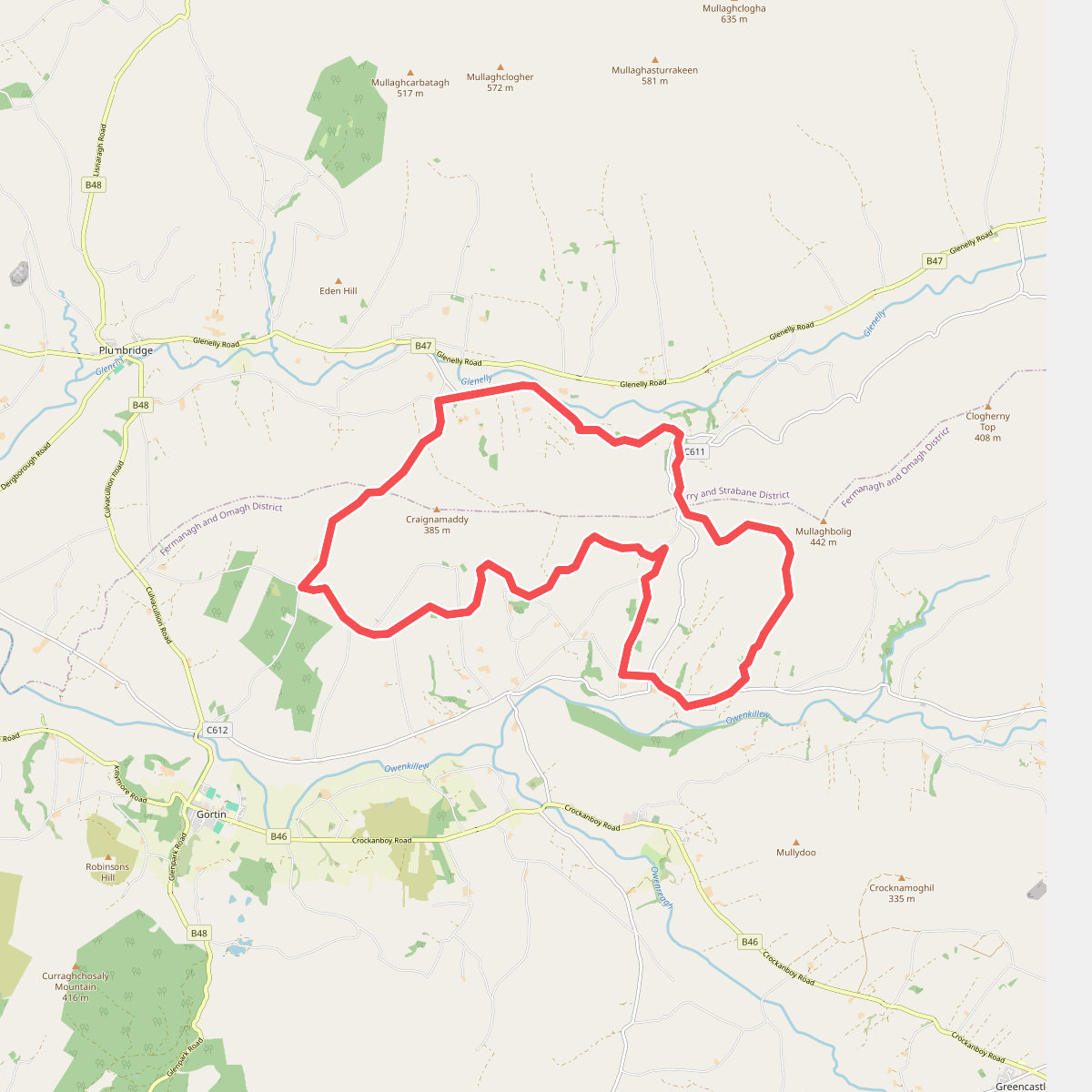
#7. Craignamaddy Circuit
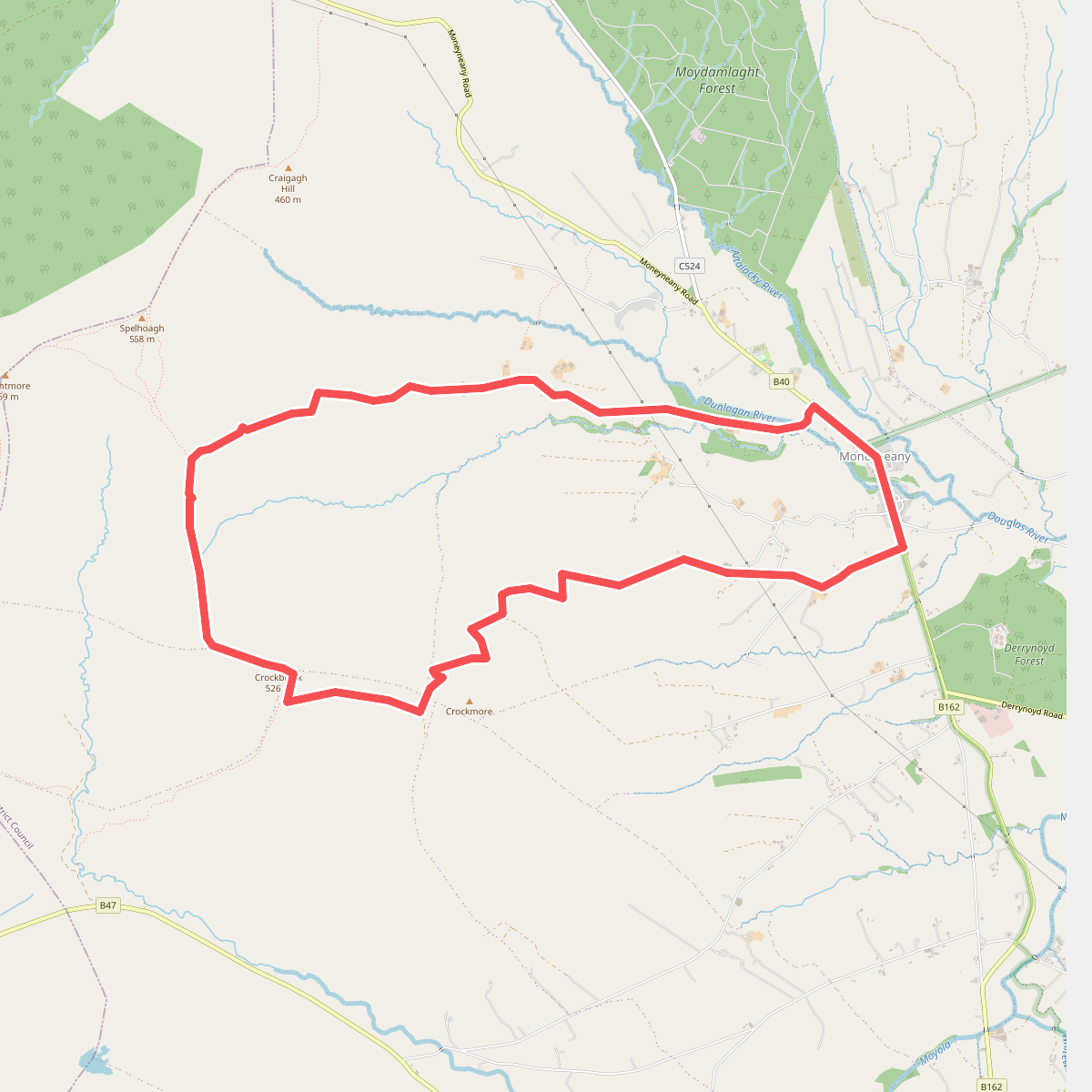
#8. Crockbrack Way
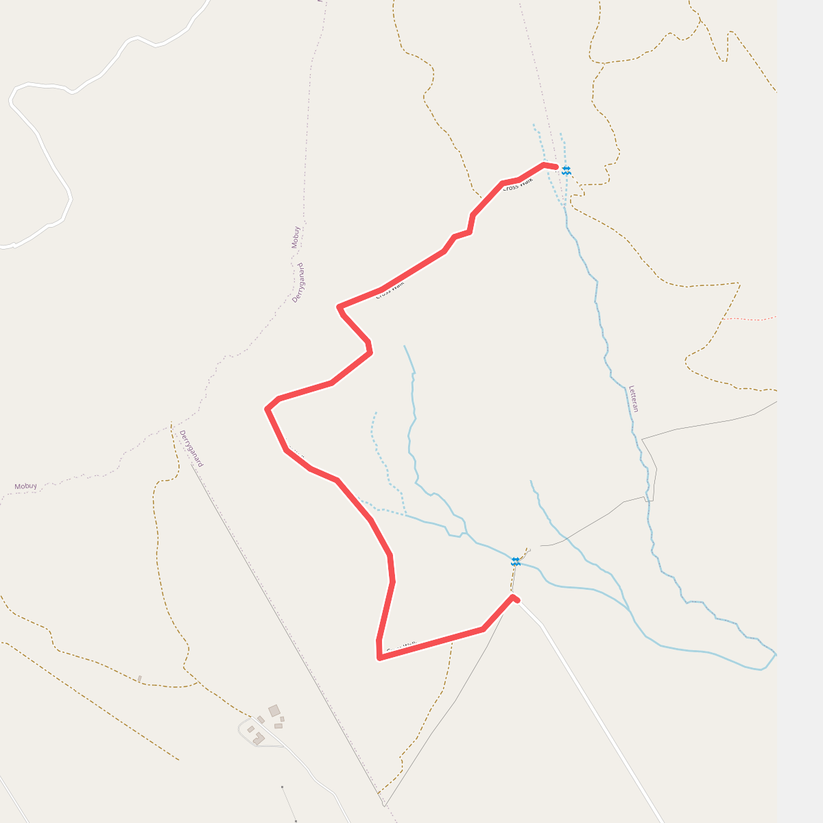
#9. Cross Walk
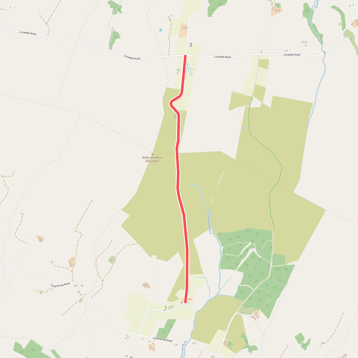
#10. Eskeradooey Public Right of Way
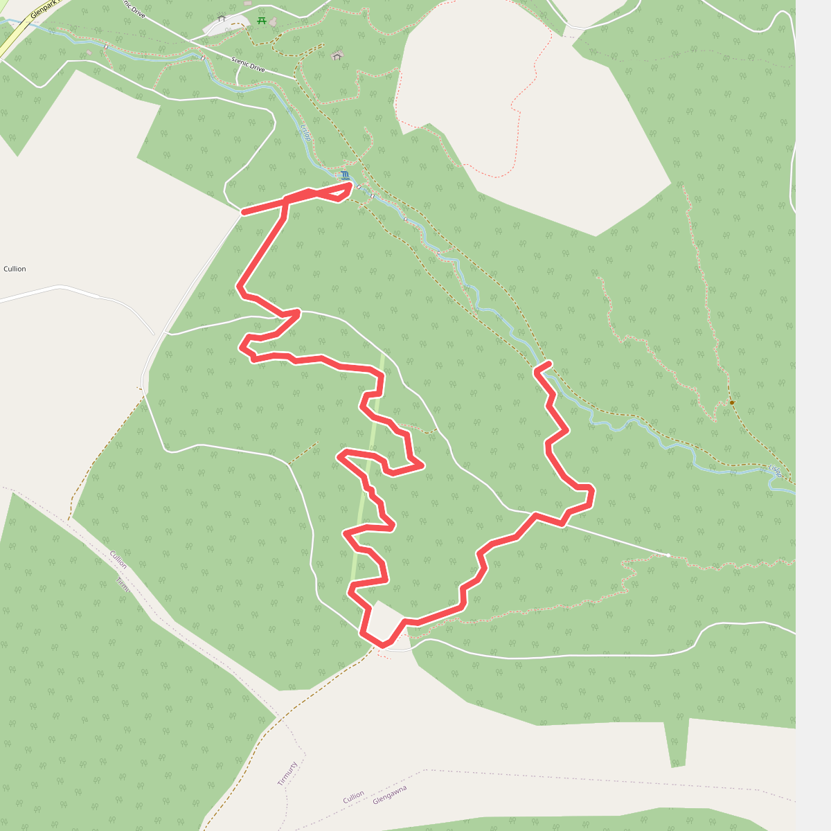
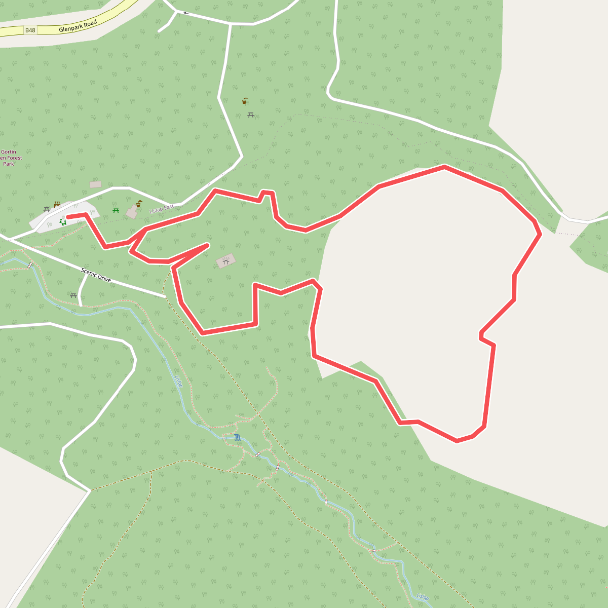
#11. Gortin Forest Ladies View