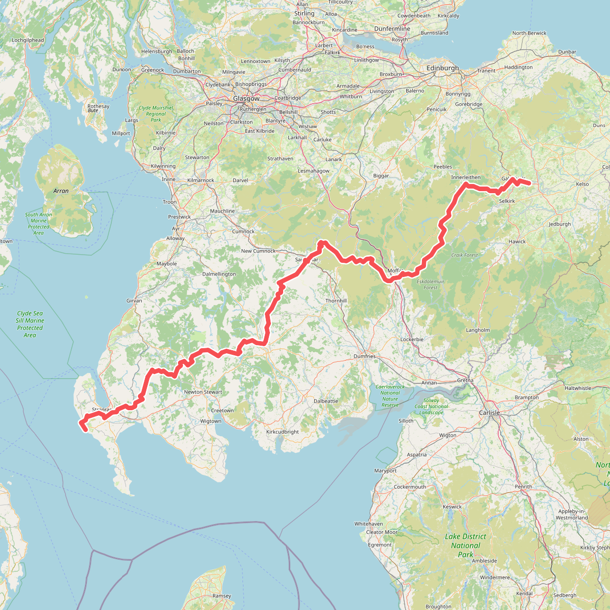
The best hiking routes in Solway Coast National Landscape
Discover the best walks in Solway Coast National Landscape. 5 routes on the map, with descriptions, photos and GPX.
About Solway Coast National Landscape
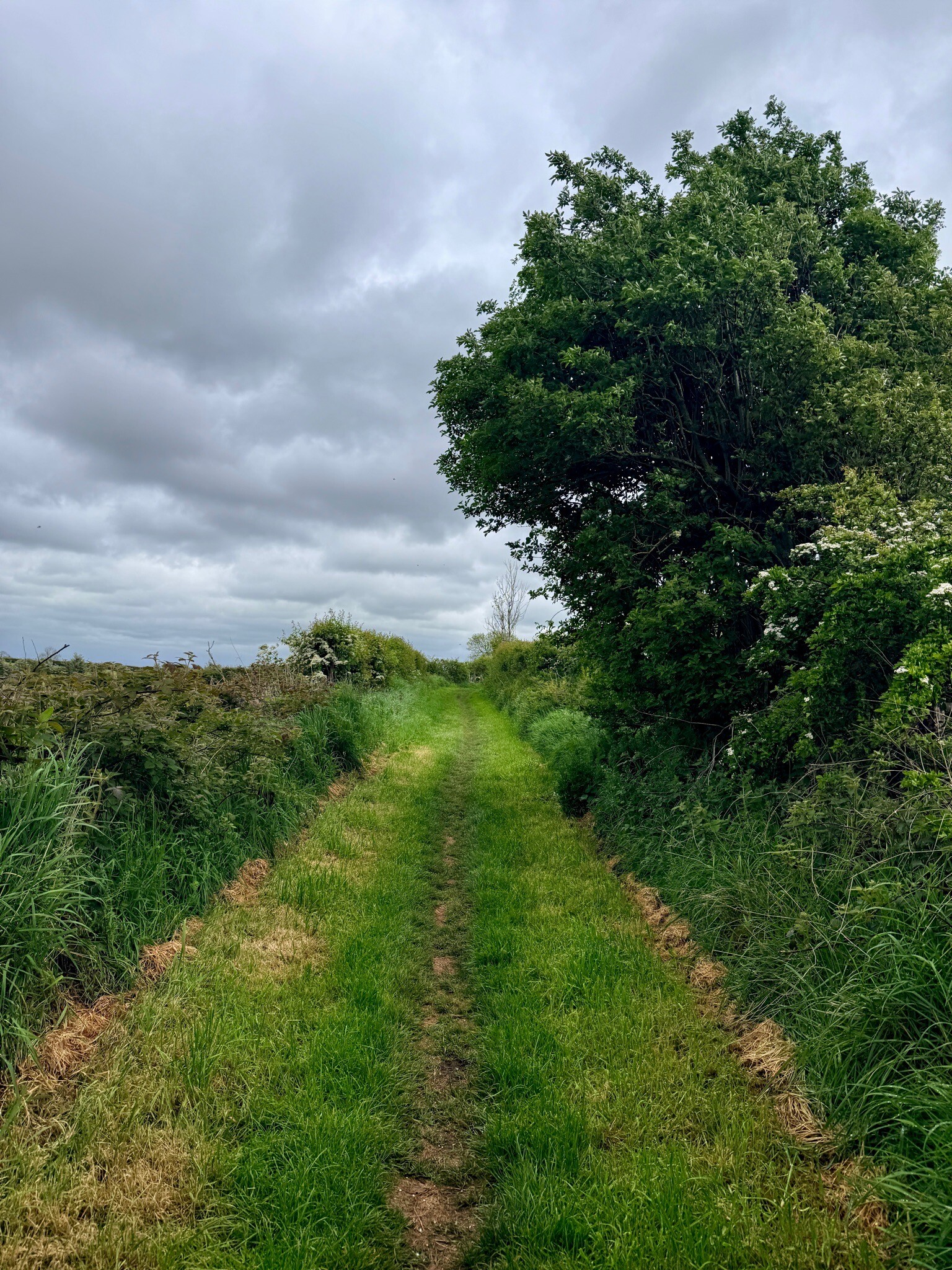
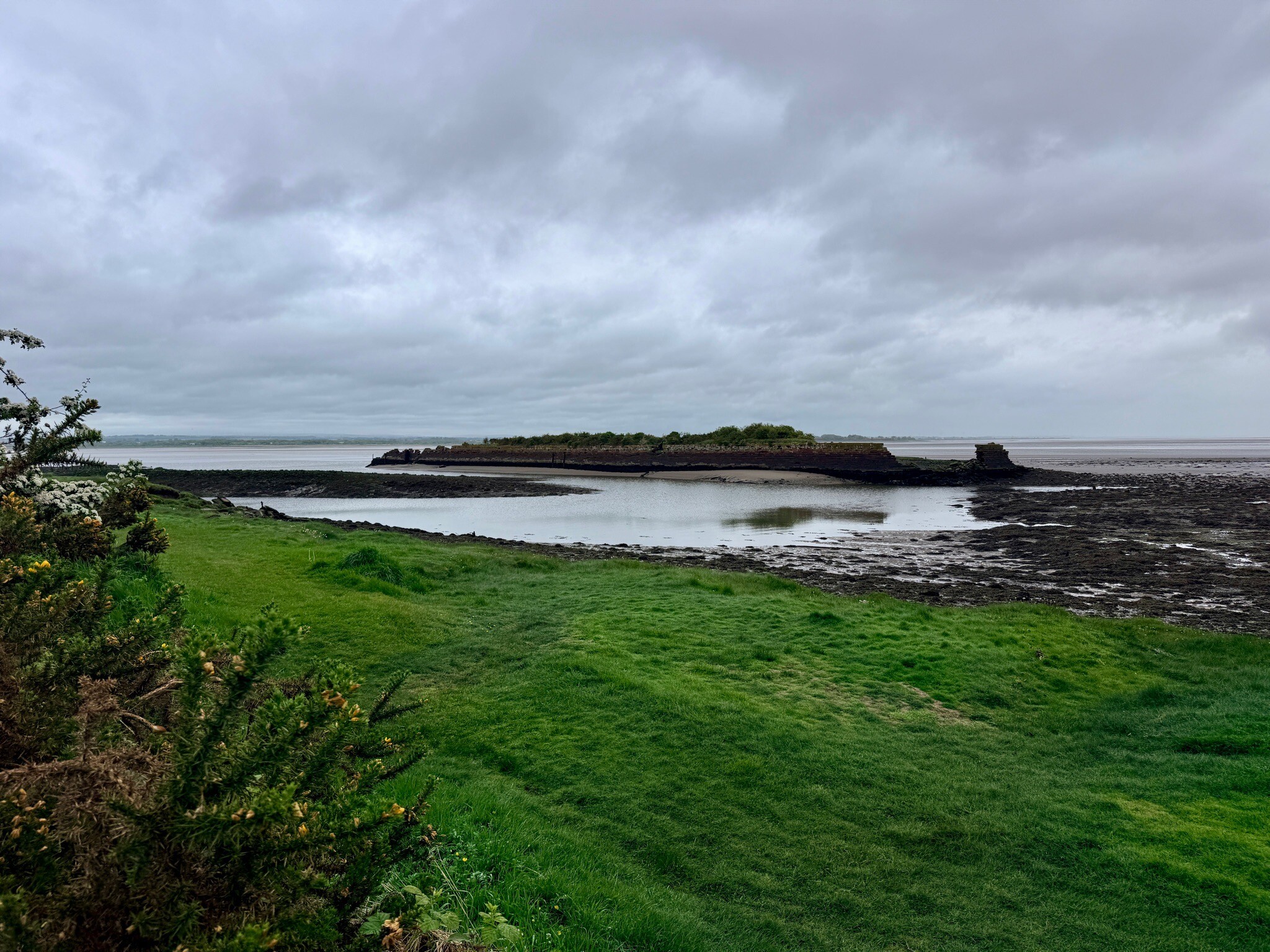
The Solway Coast National Landscape is defined by its flat, low-lying coastal fringe along the Solway Firth, where the landscape transitions sharply between saltmarshes, peat mosses, and raised mires. Unlike rugged cliff coastlines, this area consists of vast tidal mudflats and grazing marshes that are regularly inundated by the sea. Further inland, the terrain shifts to the remnants of ancient lowland raised mires, such as Bowness Common, where the ground is dominated by heather, cotton grass, and peat-building sphagnum moss.
Read more
About Solway Coast National Landscape
The Solway Coast National Landscape is defined by its flat, low-lying coastal fringe along the Solway Firth, where the landscape transitions sharply between saltmarshes, peat mosses, and raised mires. Unlike rugged cliff coastlines, this area consists of vast tidal mudflats and grazing marshes that are regularly inundated by the sea. Further inland, the terrain shifts to the remnants of ancient lowland raised mires, such as Bowness Common, where the ground is dominated by heather, cotton grass, and peat-building sphagnum moss.
Read moreThe Solway Coast National Landscape is defined by its flat, low-lying coastal fringe along the Solway Firth, where the landscape transitions sharply between saltmarshes, peat mosses, and raised mires. Unlike rugged cliff coastlines, this area consists of vast tidal mudflats and grazing marshes that are regularly inundated by the sea. Further inland, the terrain shifts to the remnants of ancient lowland raised mires, such as Bowness Common, where the ground is dominated by heather, cotton grass, and peat-building sphagnum moss.
Walking here requires an understanding of the distinct terrain types underfoot. The coastal saltmarshes are crisscrossed by deep tidal creeks and consist of soft, silty clay that offers no formal paths and requires careful navigation. In contrast, the inland peat mosses are accessed via specific boardwalks and damp, peaty tracks that keep walkers above the saturated ground. There are no hills or sheltered valleys; the entire area is exposed and level, with the highest points being low sand dunes and raised shingle beaches near Grune Point.
In late summer, particularly August, the heather on the peat mosses turns deep purple, contrasting with the grey-green saltmarsh vegetation. Walkers should expect a landscape shaped by agricultural grazing and tidal erosion rather than pristine wilderness. The shoreline paths are often stony or sandy, while the inland routes are damp and spongy. While the popular shorelines near Bowness-on-Solway can see more foot traffic due to the start of the Hadrian's Wall Path, the western mosses remain much quieter and more isolated.
Hiking routes in Solway Coast National Landscape (5)
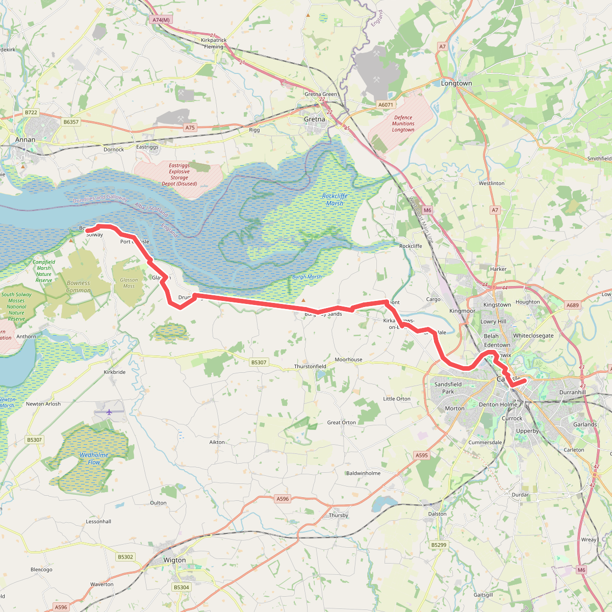
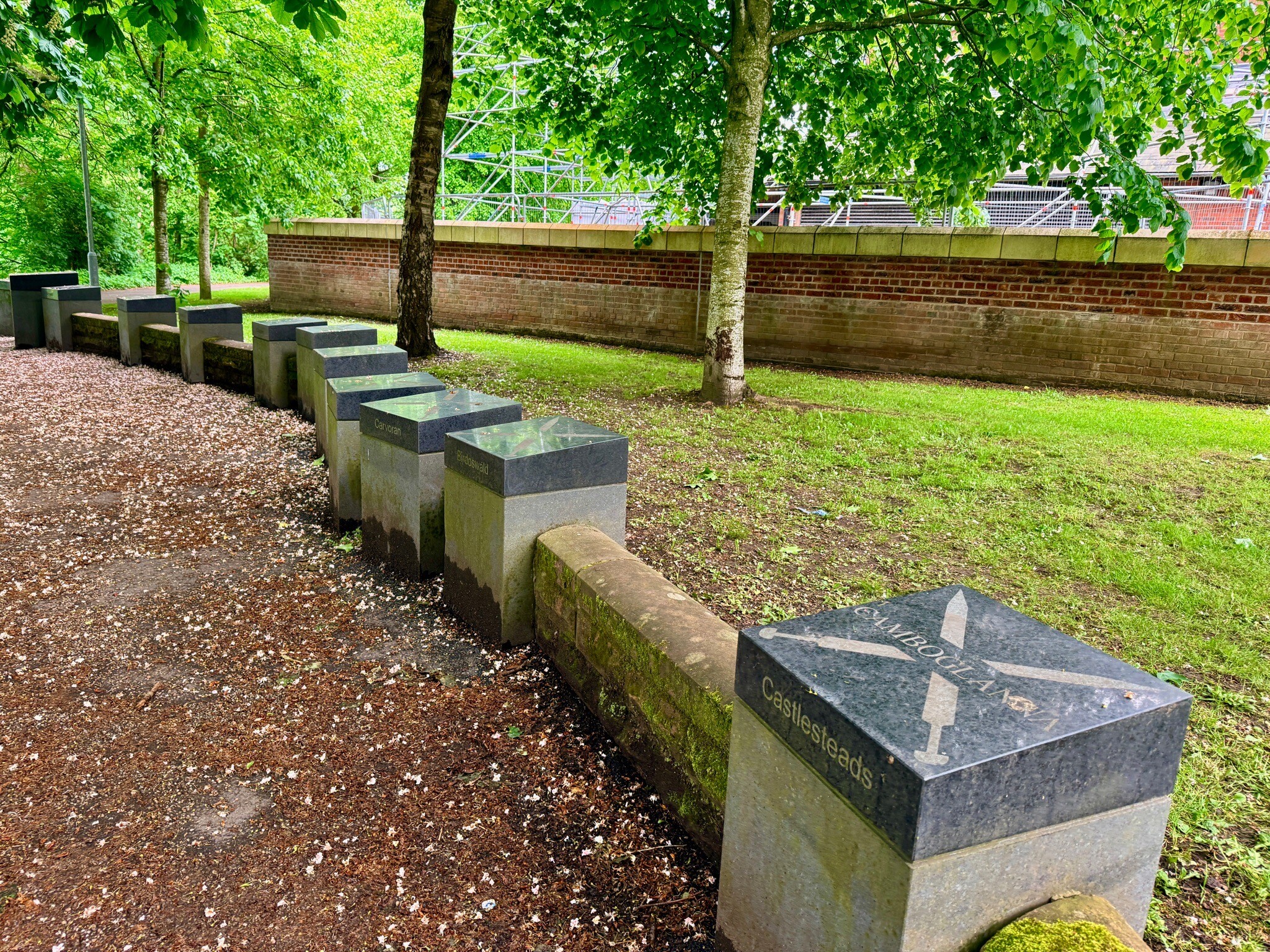
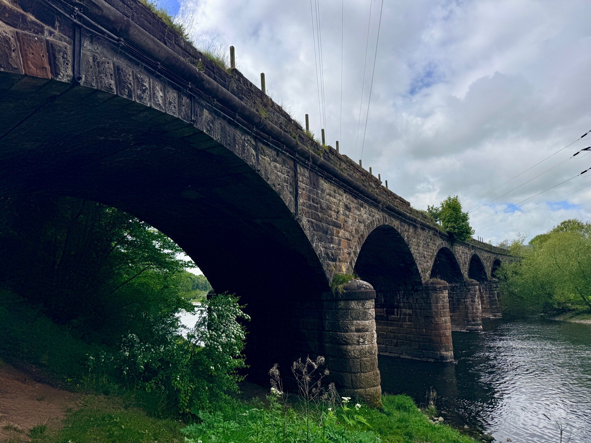
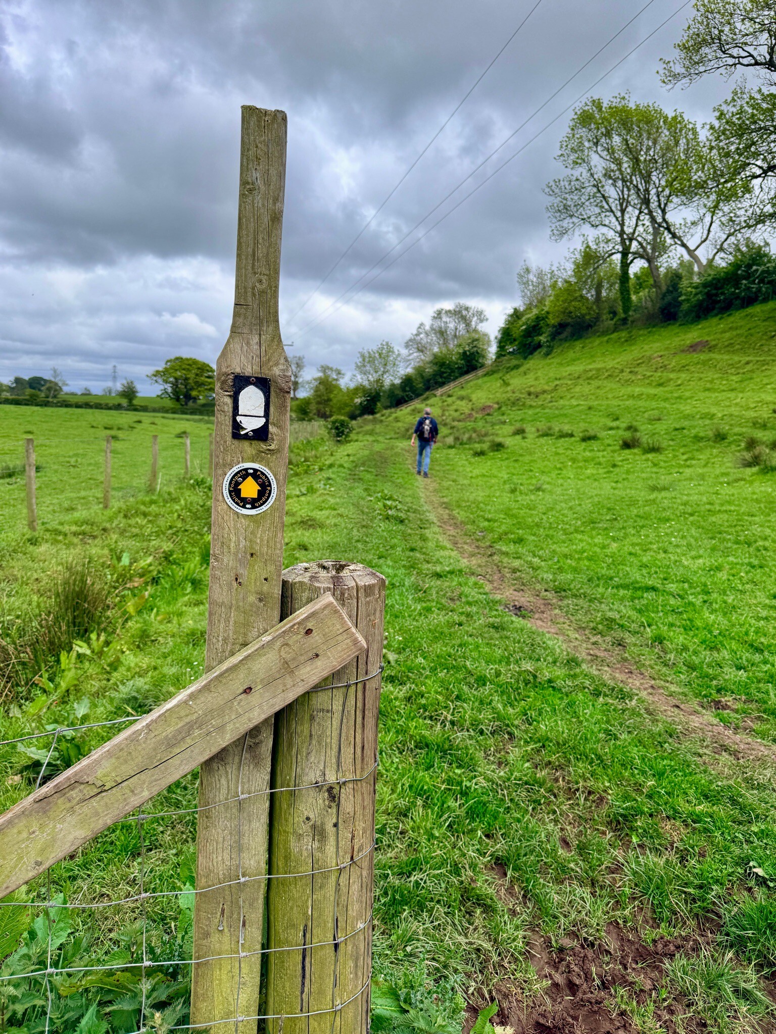
#1. Hadrians Wall: 1.Bowness-Carlisle
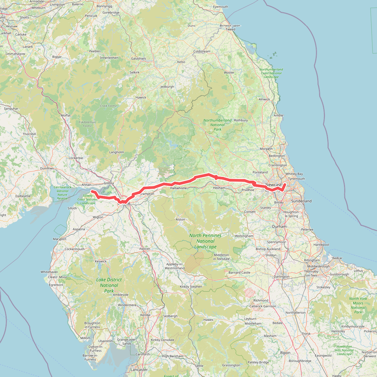
#2. Hadrian's Wall Path
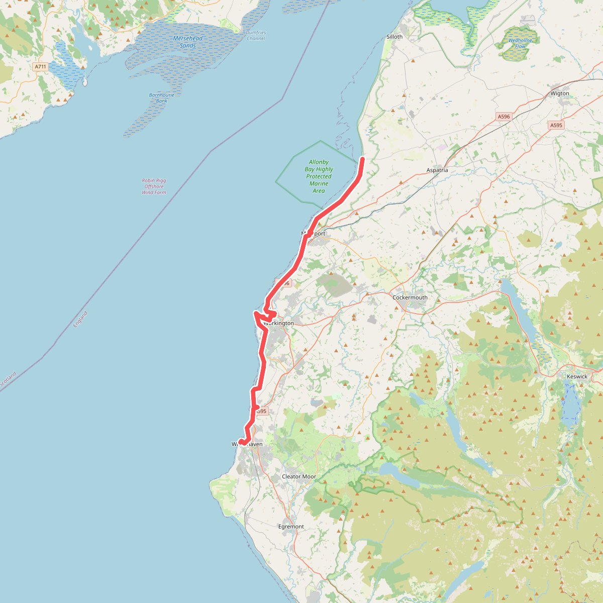
#3. King Charles III England Coast Path: Allonby to Whitehaven
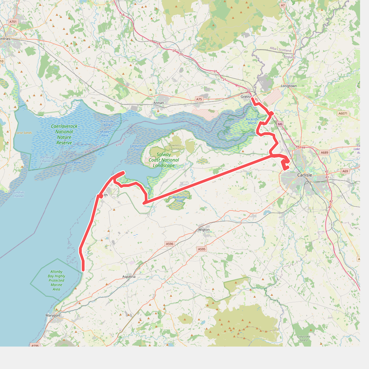
#4. King Charles III England Coast Path: Gretna to Allonby