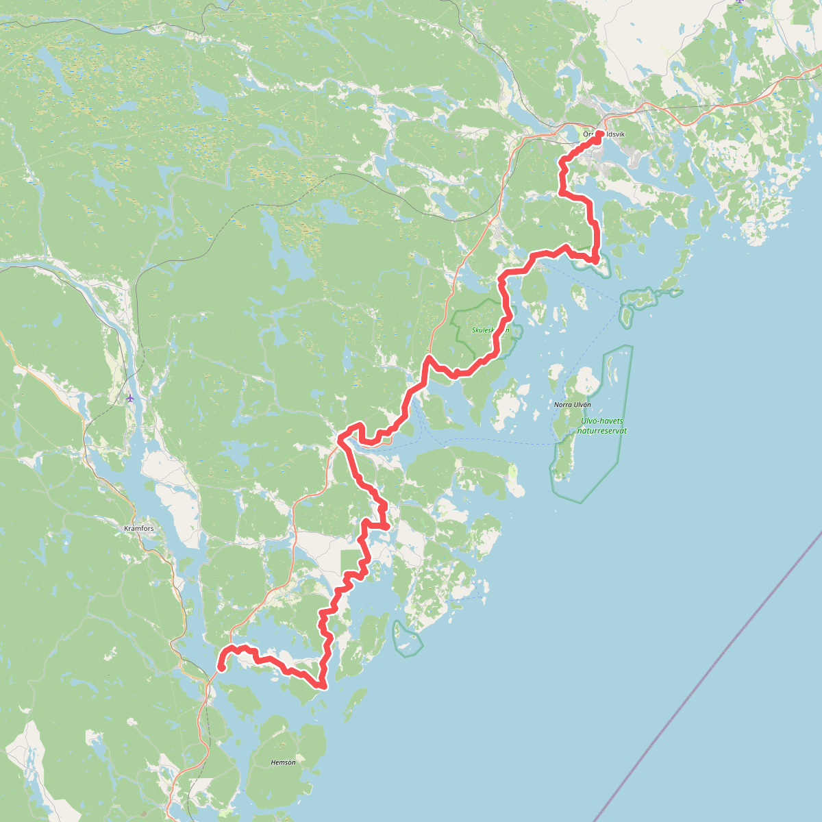
The best hiking routes in Skuleskogen
Discover the best walks in Skuleskogen. 1 routes on the map, with descriptions, photos and GPX.
About Skuleskogen
Skuleskogen National Park is defined by its dramatic coastal elevation, where red granite hills rise steeply from the Baltic Sea. The terrain is highly uneven, shifting abruptly from bare, wind-swept stone summits to deep, sheltered ravines filled with old-growth spruce forest. Walkers should expect significant elevation changes over short distances, with the landscape showing clear evidence of post-glacial land uplift through ancient cobble fields that now sit high above the current shoreline.
Read more
About Skuleskogen
Skuleskogen National Park is defined by its dramatic coastal elevation, where red granite hills rise steeply from the Baltic Sea. The terrain is highly uneven, shifting abruptly from bare, wind-swept stone summits to deep, sheltered ravines filled with old-growth spruce forest. Walkers should expect significant elevation changes over short distances, with the landscape showing clear evidence of post-glacial land uplift through ancient cobble fields that now sit high above the current shoreline.
Read moreSkuleskogen National Park is defined by its dramatic coastal elevation, where red granite hills rise steeply from the Baltic Sea. The terrain is highly uneven, shifting abruptly from bare, wind-swept stone summits to deep, sheltered ravines filled with old-growth spruce forest. Walkers should expect significant elevation changes over short distances, with the landscape showing clear evidence of post-glacial land uplift through ancient cobble fields that now sit high above the current shoreline.
Underfoot, the trails demand constant attention. While some sections feature wooden boardwalks over wet peat bogs and swamp forests, much of the network consists of rough, rocky paths, exposed tree roots, and steep climbs over loose stones. The famous Slåttdalsskrevan crevice, a deep gorge with vertical rock walls, requires navigating a floor of large boulders. This is not a place for a gentle stroll; the paths are rugged and require sturdy footwear and steady balance.
Choosing a route depends on your physical preparation and what you want to see. The eastern coastal paths offer flatter stretches through coastal forests and sandy bays, whereas the interior trails climb steeply toward the bare rock plateaus. The park has three main entrances, each offering a different starting point to access either the high ridges or the lower shoreline, allowing you to plan a loop that matches your comfort level with steep, rocky terrain.