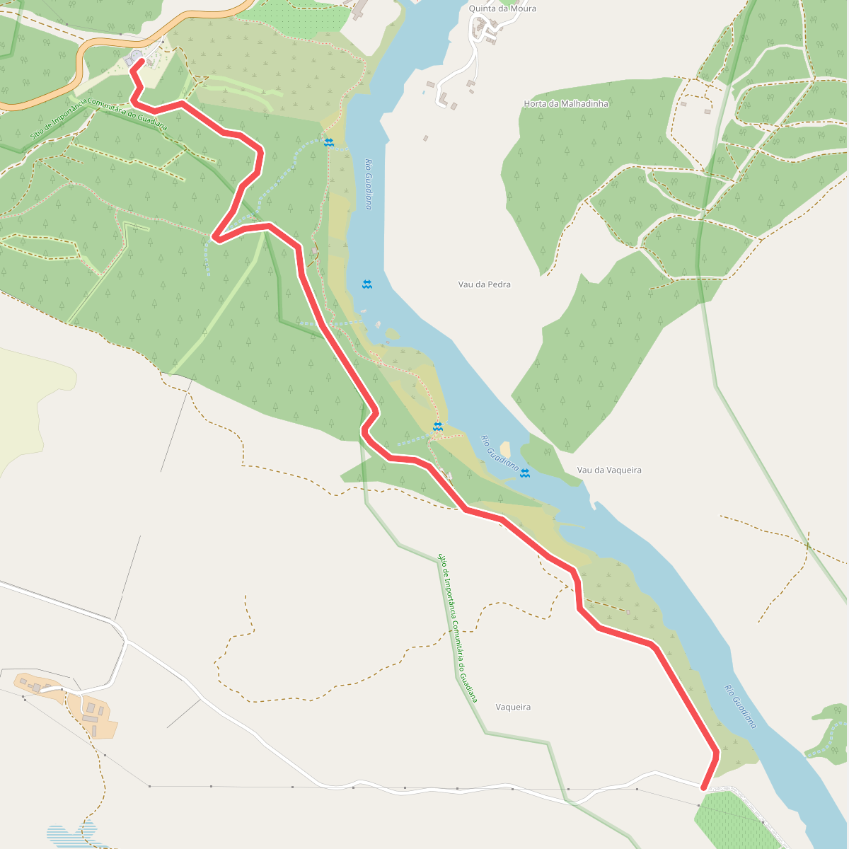
The best hiking routes in Sítio de Importância Comunitária do Guadiana
Discover the best walks in Sítio de Importância Comunitária do Guadiana. 24 routes on the map, with descriptions, photos and GPX.
Managed by Instituto da Conservação da Natureza e das Florestas
About Sítio de Importância Comunitária do Guadiana
The S%C3%ADtio de Import%C3%A2ncia Comunit%C3%A2ria do Guadiana covers a Mediterranean river corridor shaped by the seasonal flow of the Guadiana River. Walkers here will find a landscape of steep, rocky valley slopes dominated by dry scrubland, holm oaks, and wild olive trees, contrasting with the narrow strips of green riparian vegetation along the watercourses. The terrain is generally hilly and rugged, lacking high mountain peaks but offering constant short climbs and descents along the river basin.
Read more
About Sítio de Importância Comunitária do Guadiana
The S%C3%ADtio de Import%C3%A2ncia Comunit%C3%A2ria do Guadiana covers a Mediterranean river corridor shaped by the seasonal flow of the Guadiana River. Walkers here will find a landscape of steep, rocky valley slopes dominated by dry scrubland, holm oaks, and wild olive trees, contrasting with the narrow strips of green riparian vegetation along the watercourses. The terrain is generally hilly and rugged, lacking high mountain peaks but offering constant short climbs and descents along the river basin.
Read moreThe S%C3%ADtio de Import%C3%A2ncia Comunit%C3%A2ria do Guadiana covers a Mediterranean river corridor shaped by the seasonal flow of the Guadiana River. Walkers here will find a landscape of steep, rocky valley slopes dominated by dry scrubland, holm oaks, and wild olive trees, contrasting with the narrow strips of green riparian vegetation along the watercourses. The terrain is generally hilly and rugged, lacking high mountain peaks but offering constant short climbs and descents along the river basin.
Underfoot, the tracks are predominantly stony, dry dirt paths and old schist tracks that require sturdy footwear. While the main riverbanks feature wider, more established paths, the smaller tributary valleys are crossed by narrower, rougher trails where the vegetation presses closer to the path. In the dry summer months of July and August, the smaller streams dry up completely, leaving exposed gravel beds that reveal the seasonal nature of this arid water system.
This area is ideal for walkers seeking a quiet, rustic environment dominated by traditional pastoral land use and natural Mediterranean scrub. It is not a place for lush forests or manicured parklands. Instead, you will encounter a sparse, sun-baked landscape where the ruins of old watermills and schist walls show how people historically adapted to the harsh river dynamics.
Hiking routes in Sítio de Importância Comunitária do Guadiana (24)
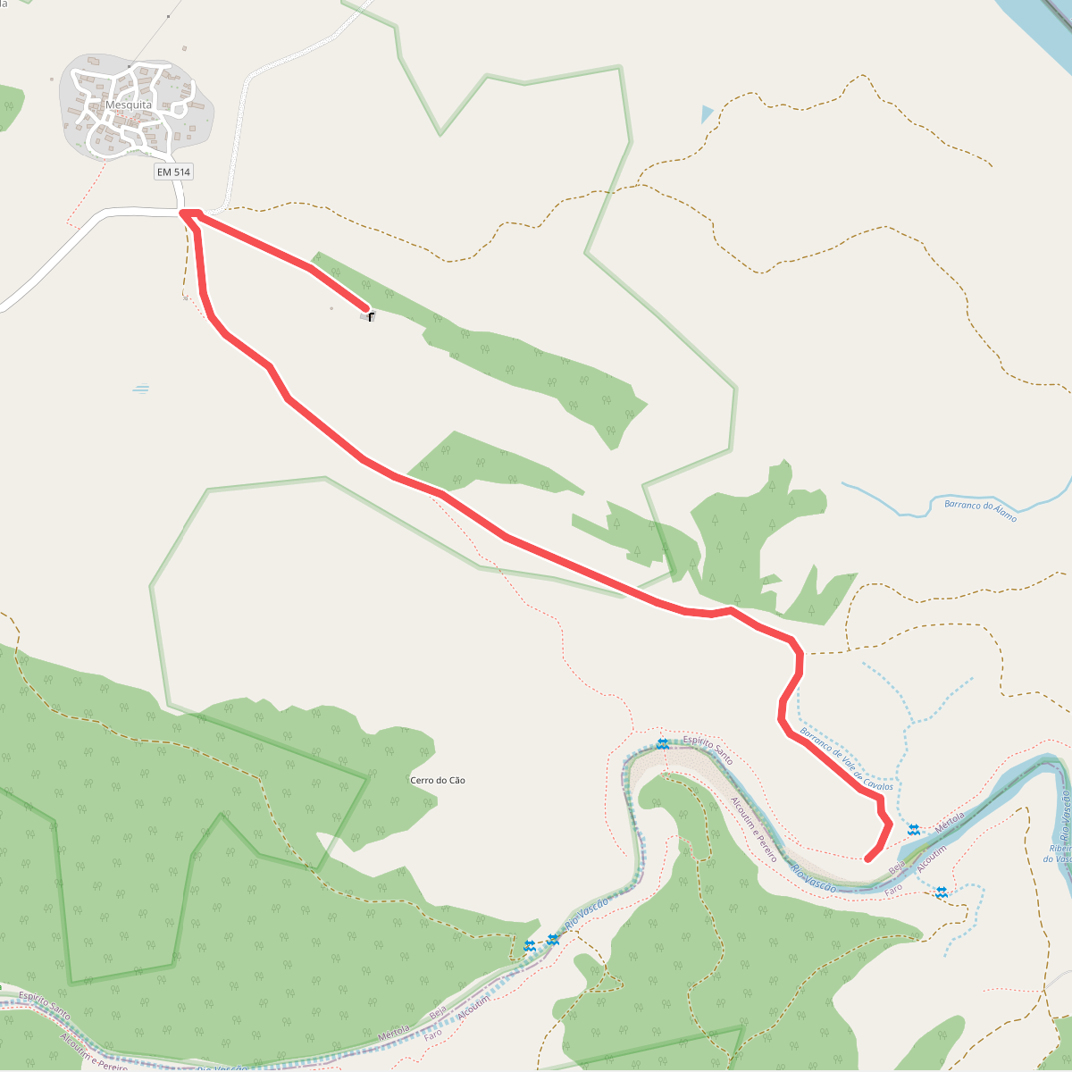
#1. Ao ritmo das águas do Vascão
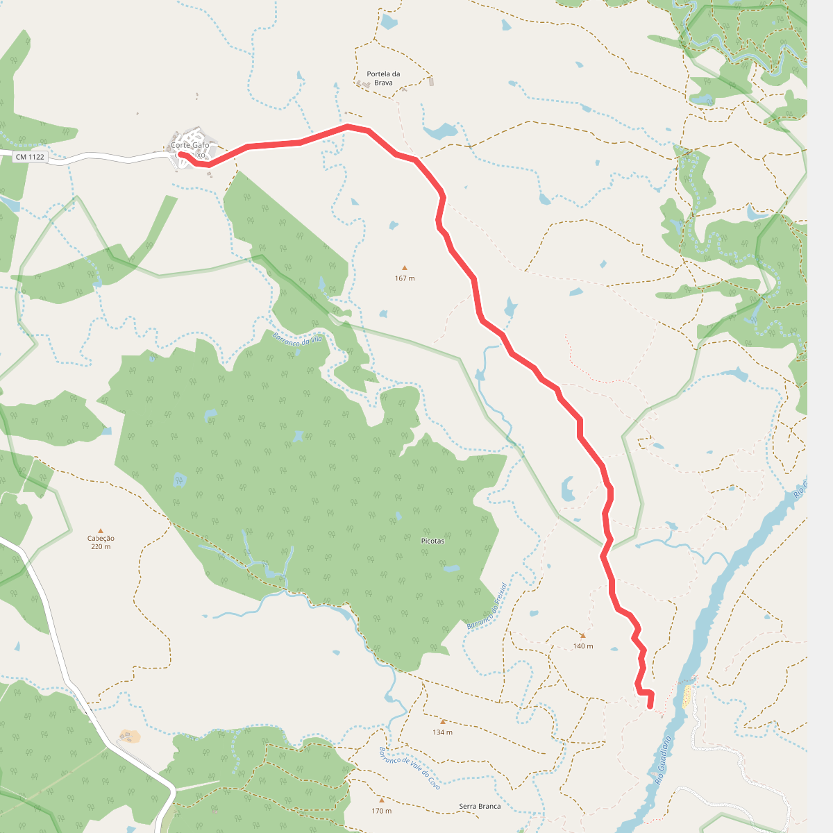
#2. As Margens do Guadiana
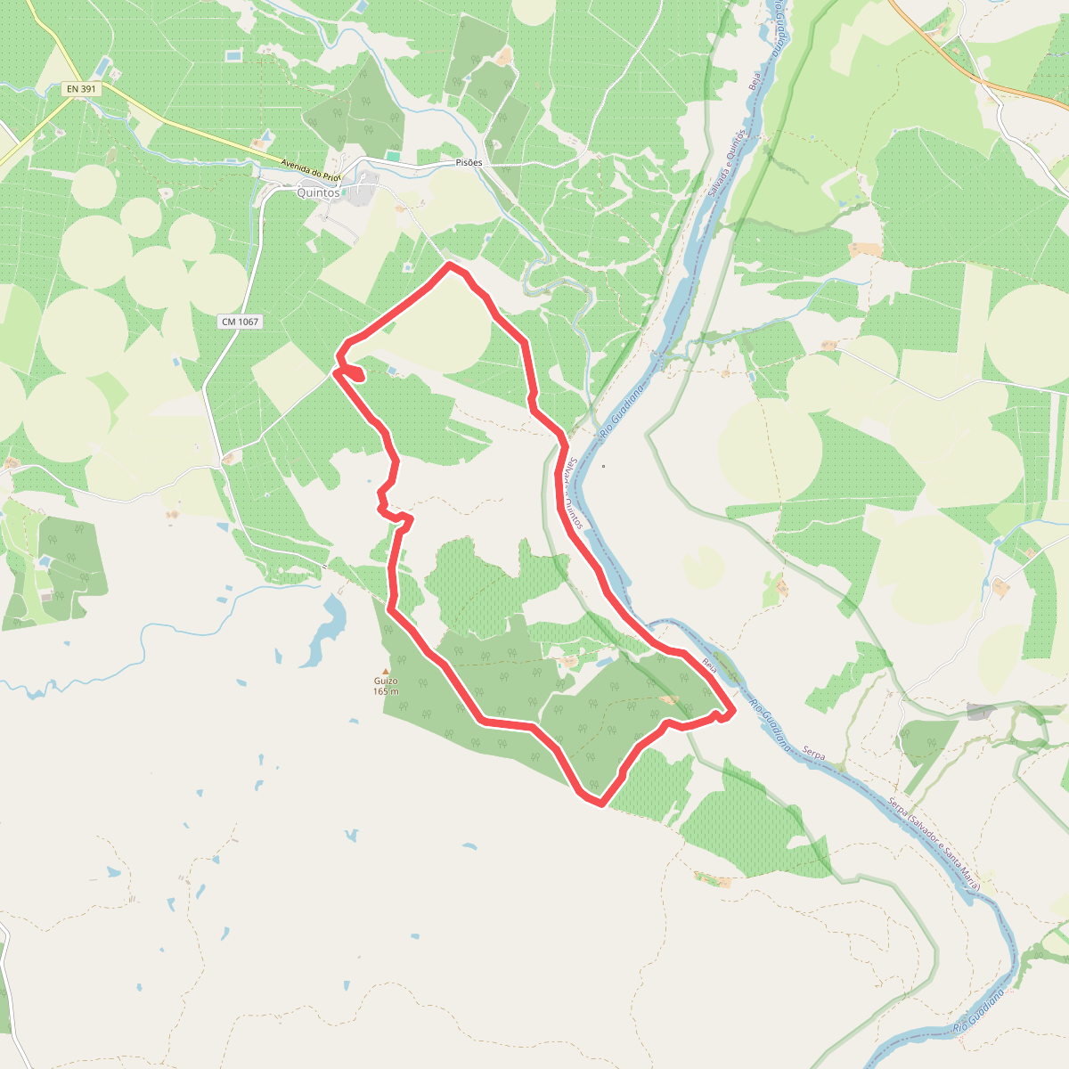
#3. Azenhas e Fortins do Guadiana
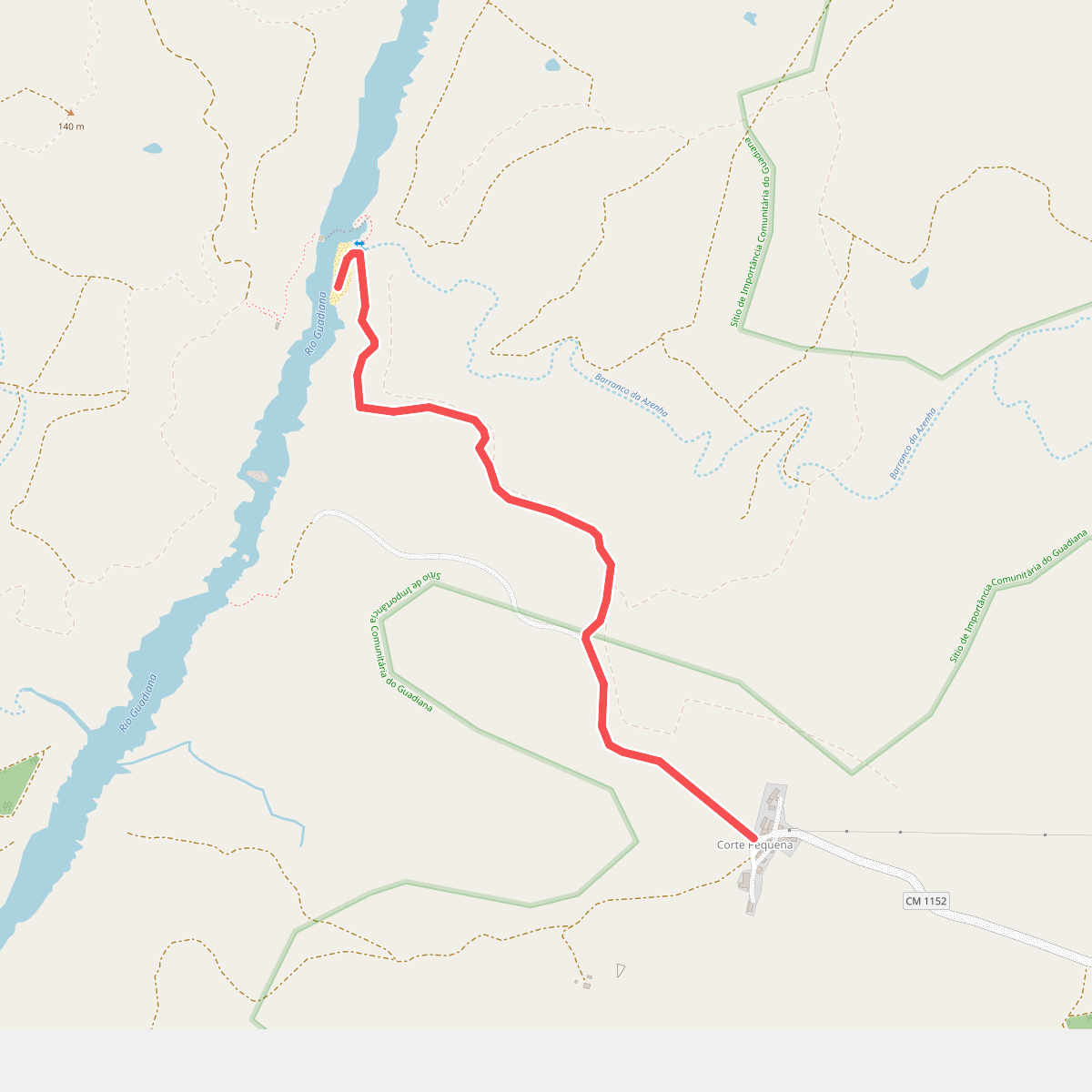
#4. Canais do Guadiana
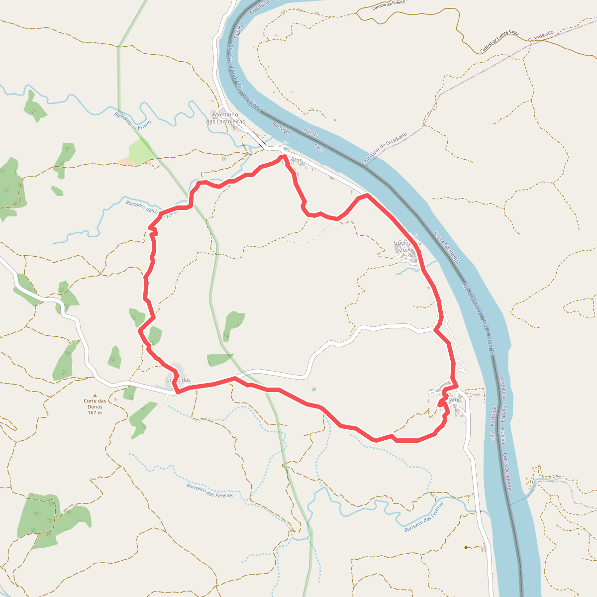
#5. Corre, corre... Guadiana
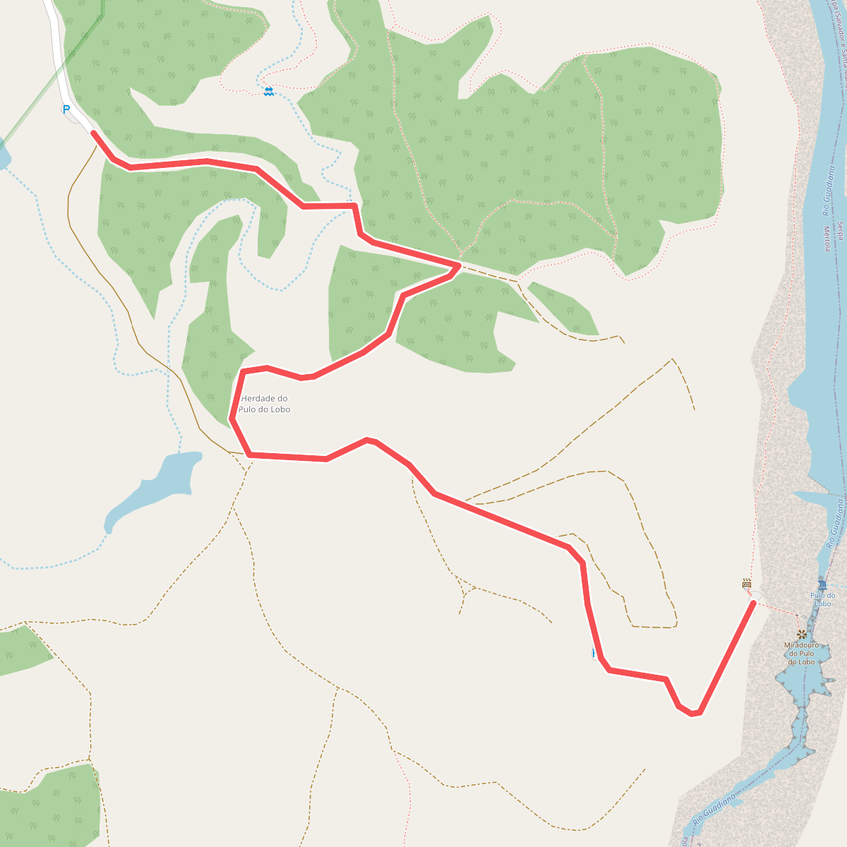
#6. Entre o Escalda e o Pulo do Lobo
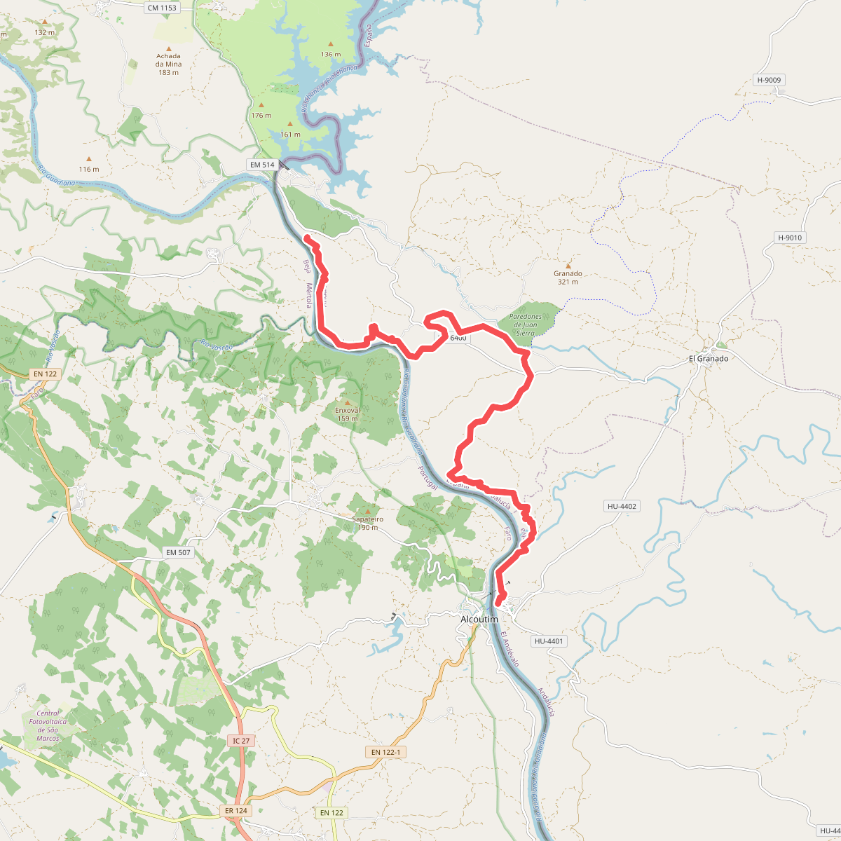
#7. Etapa 41: Cuartel Cañaveral - Sanlúcar de Guadiana
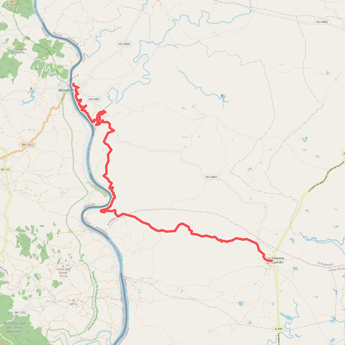
#8. Etapa 42: Sanlúcar de Guadiana - San Silvestre de Guzmán
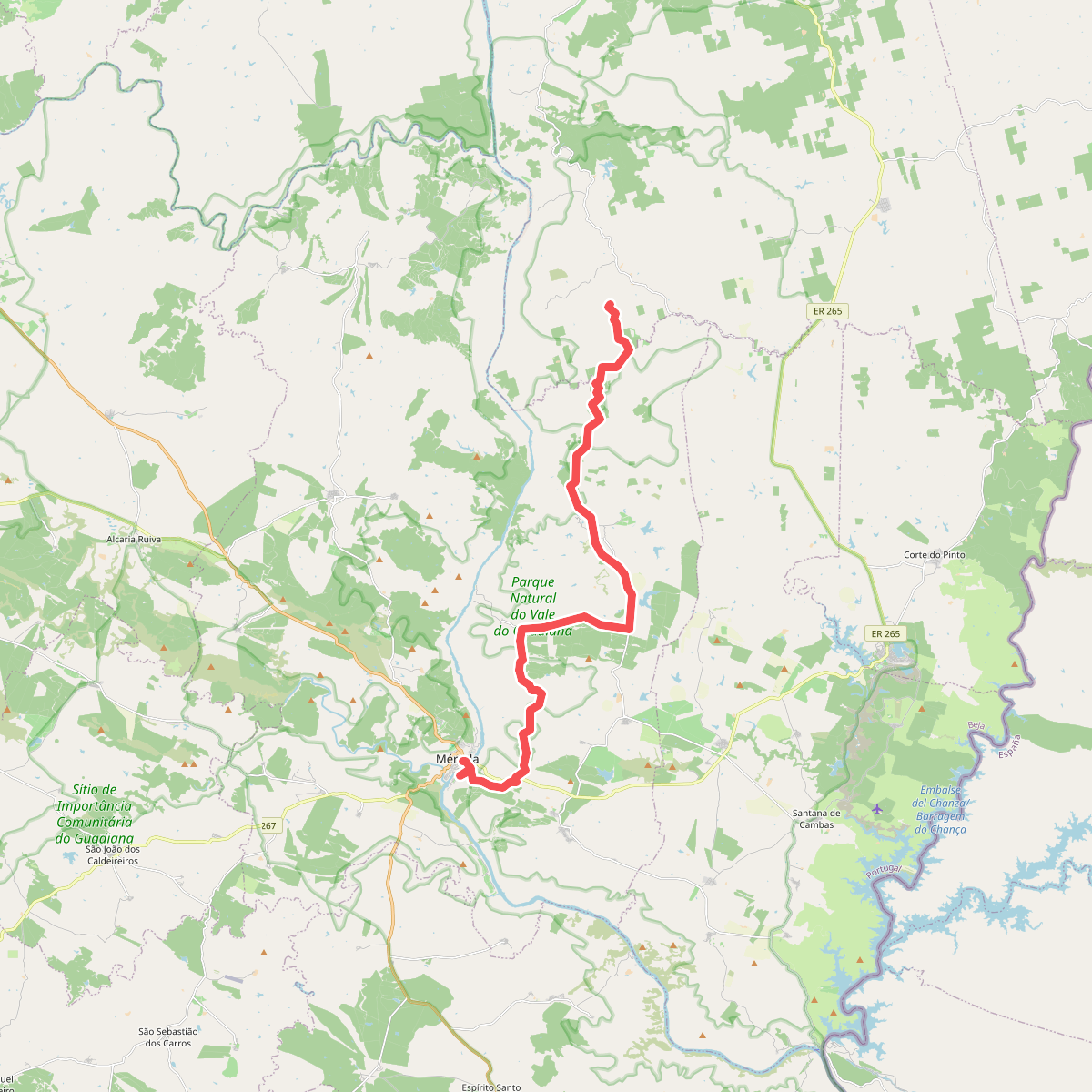
#9. Grande Rota do Guadiana - Sector 7
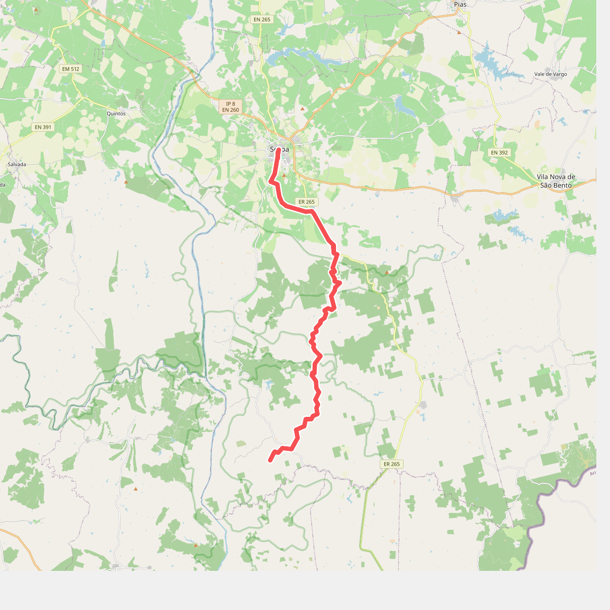
#10. Grande Rota do Guadiana - Sector 8
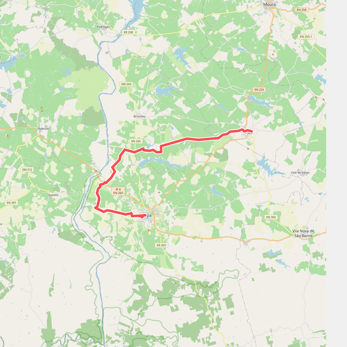
#11. Grande Rota do Guadiana - Sector 9