

The best hiking routes in Sindlbachtal
Discover the best walks in Sindlbachtal. 12 routes on the map, with descriptions, photos and GPX.
About Sindlbachtal
Sindlbachtal offers a quiet, wooded valley landscape shaped by the Sindlbach stream. Unlike the flatter agricultural plains nearby, this area features a gently sloping terrain where dense pine and mixed deciduous forests cover the hillsides. The valley floor is noticeably damper, characterized by small marshy patches and wet meadows that contrast with the drier, needle-covered forest tracks higher up the slopes.
Read more
About Sindlbachtal
Sindlbachtal offers a quiet, wooded valley landscape shaped by the Sindlbach stream. Unlike the flatter agricultural plains nearby, this area features a gently sloping terrain where dense pine and mixed deciduous forests cover the hillsides. The valley floor is noticeably damper, characterized by small marshy patches and wet meadows that contrast with the drier, needle-covered forest tracks higher up the slopes.
Read moreSindlbachtal offers a quiet, wooded valley landscape shaped by the Sindlbach stream. Unlike the flatter agricultural plains nearby, this area features a gently sloping terrain where dense pine and mixed deciduous forests cover the hillsides. The valley floor is noticeably damper, characterized by small marshy patches and wet meadows that contrast with the drier, needle-covered forest tracks higher up the slopes.
Walking here means navigating a mix of soft forest soil, gravel forestry tracks, and occasional muddy sections near the stream bed. The landscape is defined by its working forestry and water management, with small wooden bridges crossing the stream and visible drainage ditches cut into the slopes. It is not a place of dramatic gorges or sweeping vistas, but rather a enclosed, intimate woodland environment where the sound of flowing water is a constant companion.
In late spring, particularly around May, the forest floor near the water becomes lush with fresh ferns and marsh marigolds, making the valley bottom much greener than the higher pine stands. The main trails are wide and easy to follow, while the smaller paths closer to the stream require more careful stepping over tree roots and damp earth.
Hiking routes in Sindlbachtal (12)
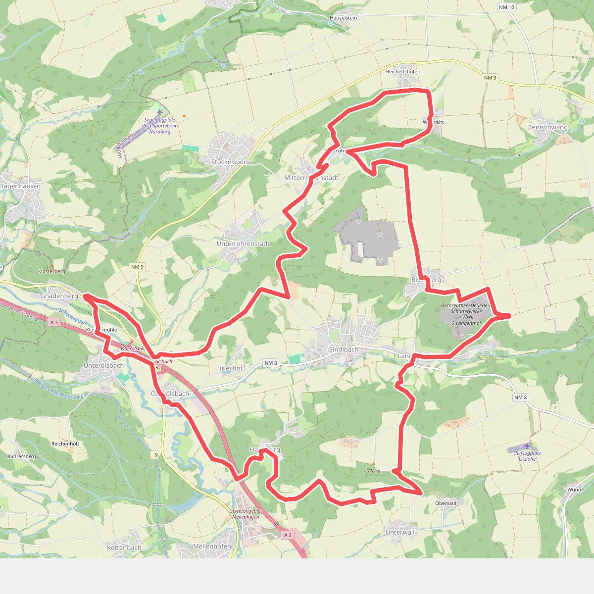
#1. 5-Täler-Wanderweg
Berg b.Neumarkt i.d.OPf.
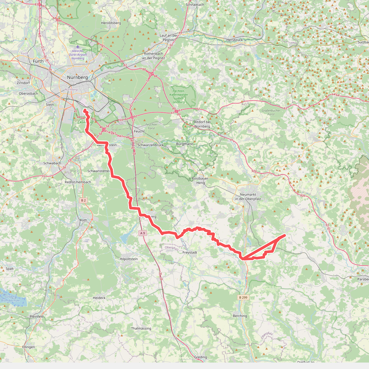
#2. Deininger Weg
Nürnberg,Forst Kleinschwarzenlohe,Wendelstein,Schwanstetten,Roth,Allersberg,Freystadt,Berngau,Sengenthal,Mühlhausen,Deining
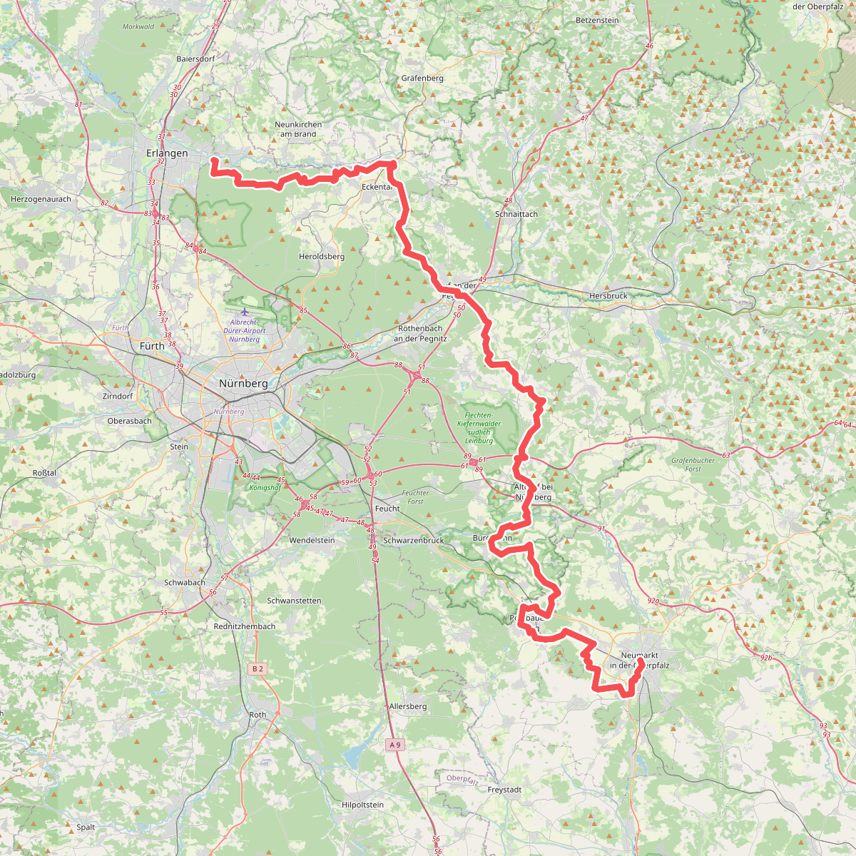
#3. Eppeleinsweg
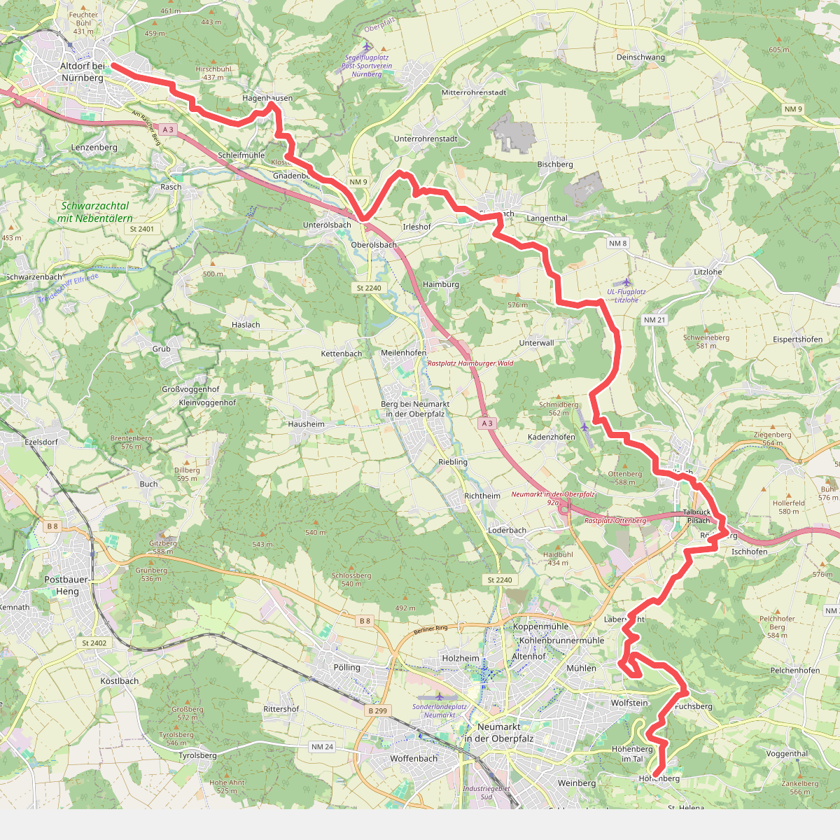
#4. Altdorf b. Nürnberg - Höhenberg · Frankenweg etappe 17
Altdorf bei Nürnberg,Berg b.Neumarkt i.d.OPf.,Pilsach,Neumarkt in der Oberpfalz
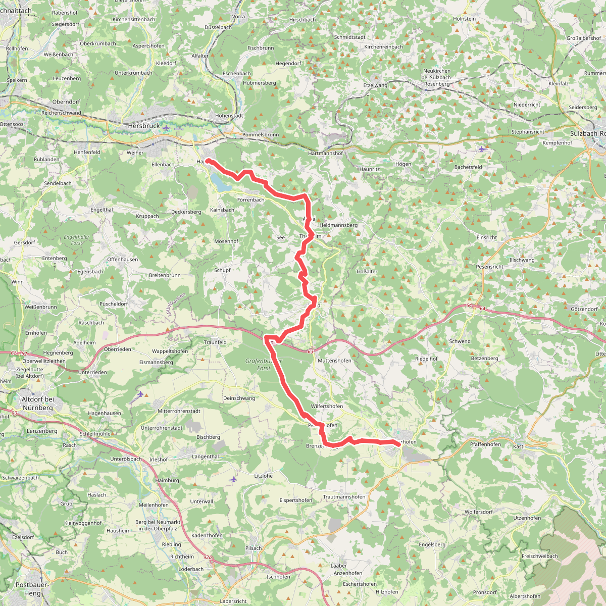
#5. Grünstrich
Happurg,Pommelsbrunn,Alfeld,Lauterhofen
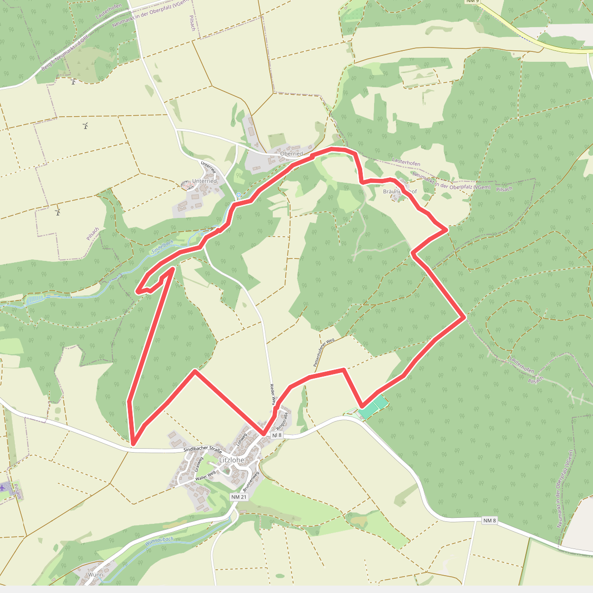
#6. Litzloher Marterlweg
Pilsach
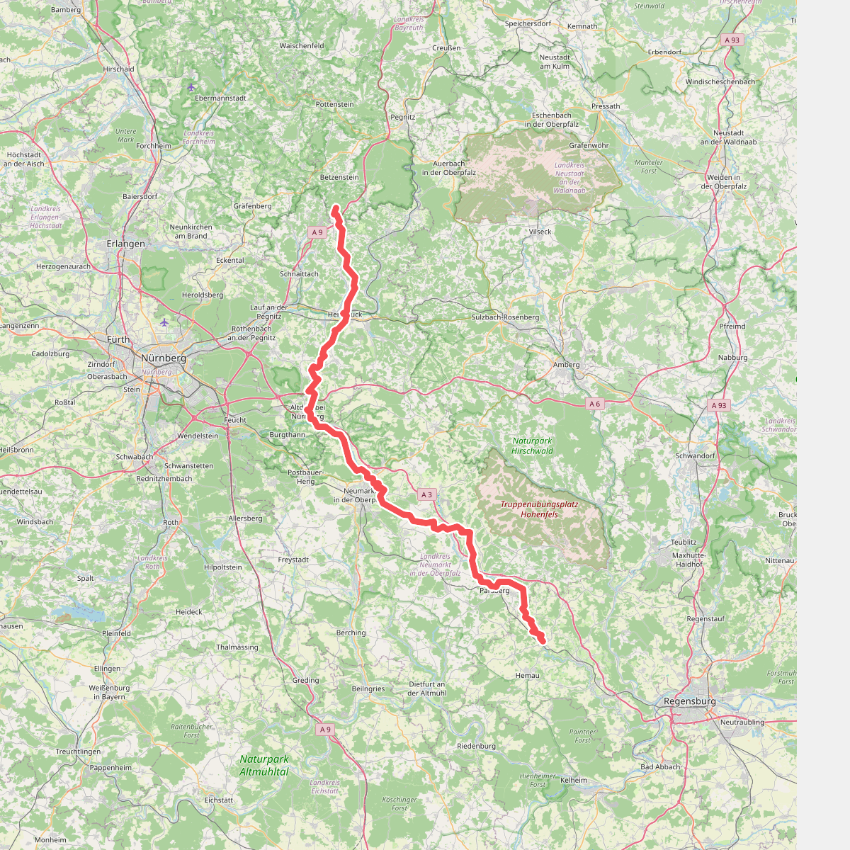
#7. Main-Donau-Weg (Jura-Linie) Teil 2
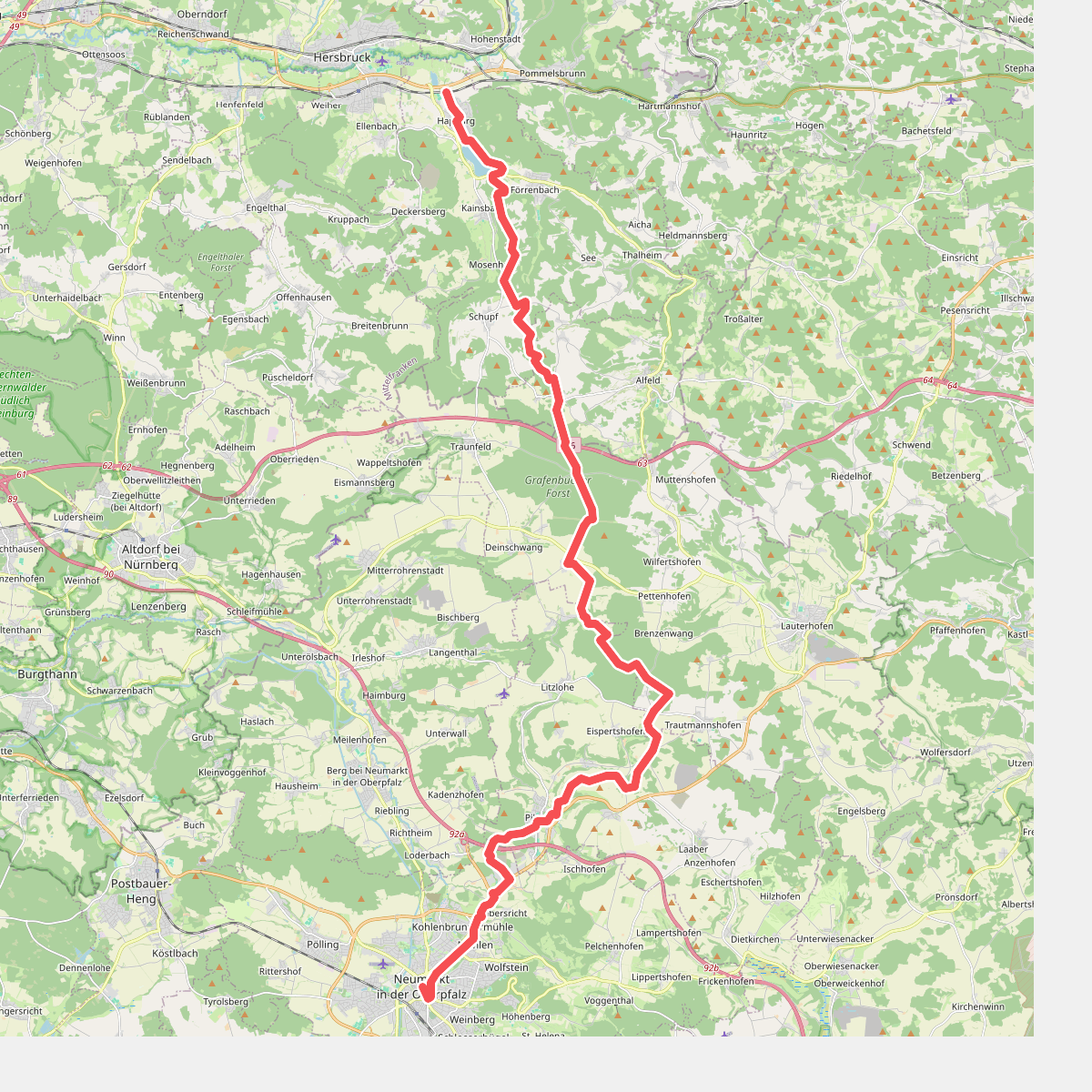
#8. Pfalzgrafenweg
Happurg,Alfeld,Lauterhofen,Pilsach,Neumarkt in der Oberpfalz
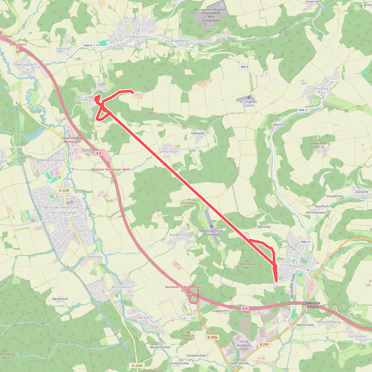
#9. Roter Balken auf weißem Grund - Name unbekannt
Pilsach,Berg b.Neumarkt i.d.OPf.
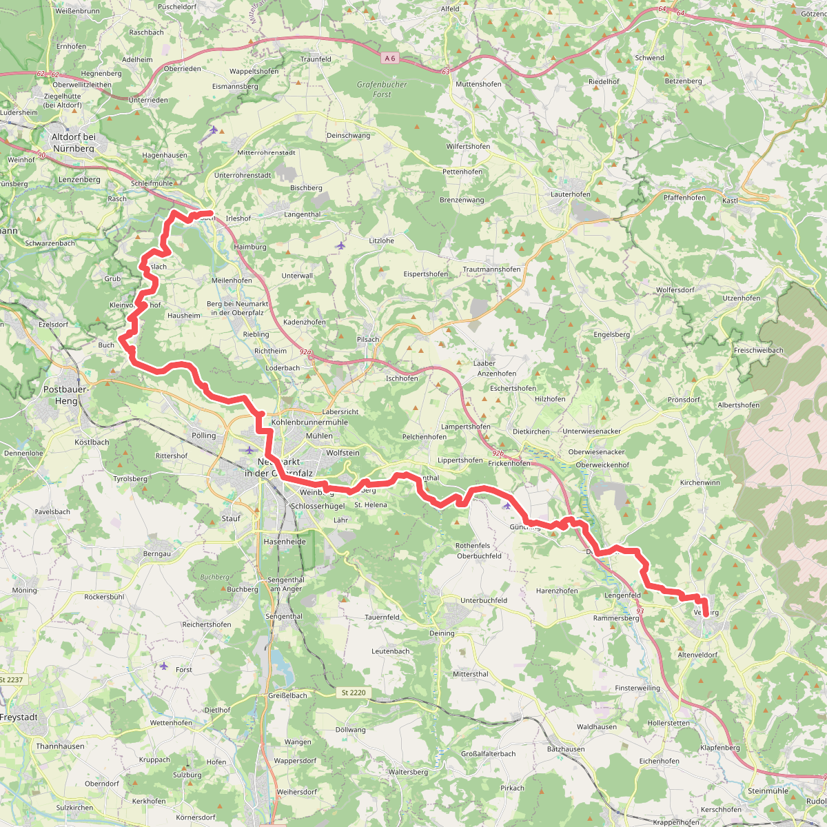
#10. Velburger Weg
Berg b.Neumarkt i.d.OPf.,Postbauer-Heng,Neumarkt in der Oberpfalz,Deining,Velburg
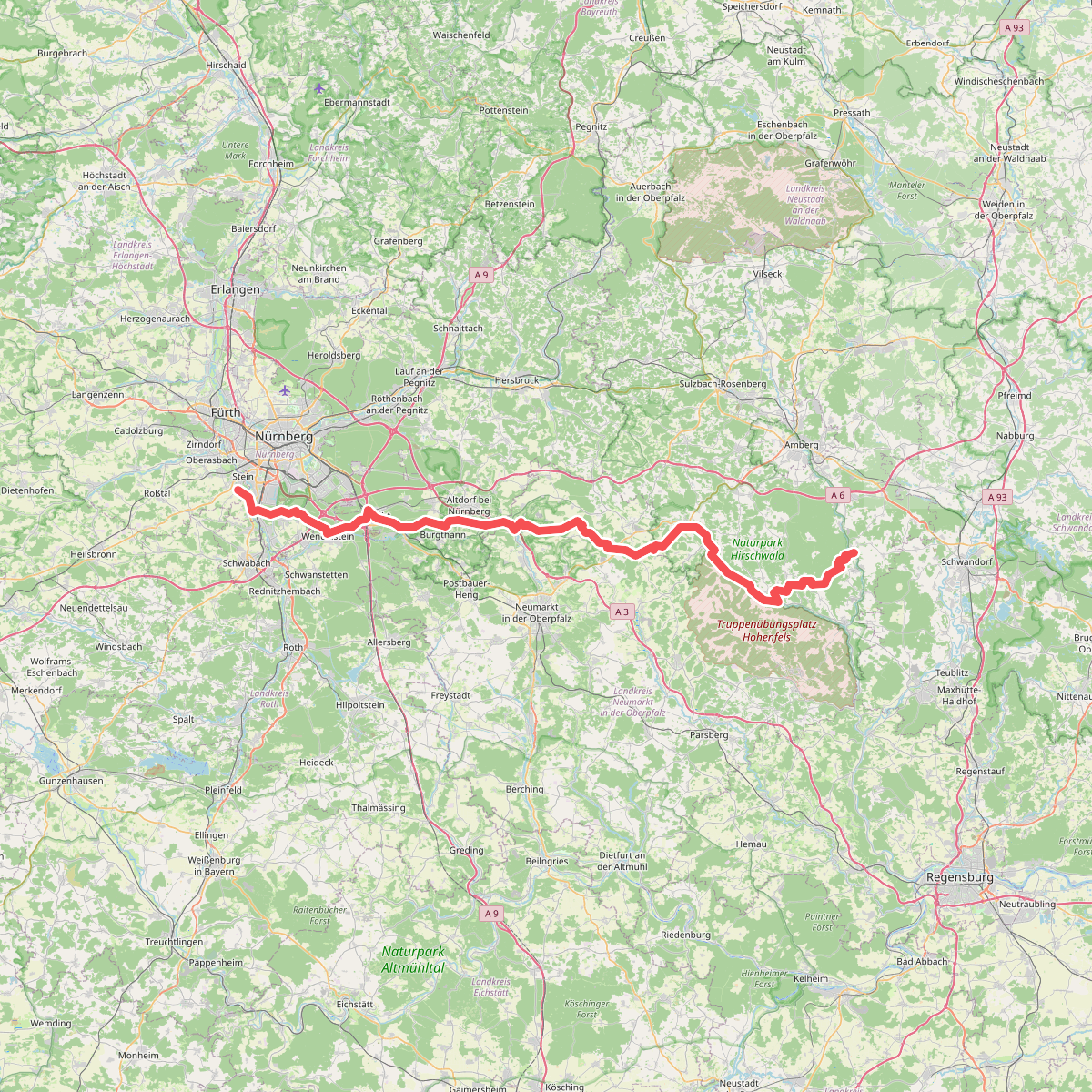
#11. Wanderweg Jakobsweg Tillyschanz > Nürnberg, Abschnitt Ensdorf - Stein
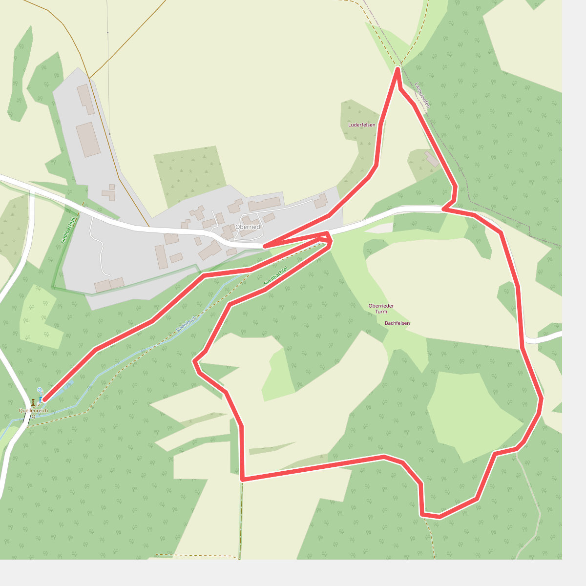
#12. Weg der Hoffnung und Stille
Pilsach



