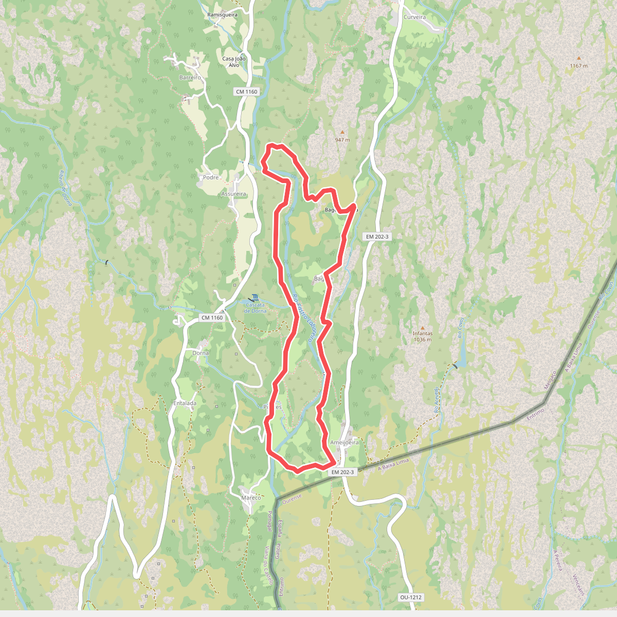
The best hiking routes in Serras da Peneda e Gerês
Discover the best walks in Serras da Peneda e Gerês. 62 routes on the map, with descriptions, photos and GPX.
Managed by ICNF
About Serras da Peneda e Gerês
The Serras da Peneda e Gerês present a stark, high-altitude landscape of grey granite domes, deep-cut valleys, and ancient oak forests. Unlike the softer hills of central Portugal, this northern borderland is defined by massive rock formations, exposed plateaus, and steep, boulder-strewn slopes. Walkers will find a distinct contrast between the open, wind-swept granite highlands and the dense, humid deciduous woods that shelter in the ravines.
Read more
About Serras da Peneda e Gerês
The Serras da Peneda e Gerês present a stark, high-altitude landscape of grey granite domes, deep-cut valleys, and ancient oak forests. Unlike the softer hills of central Portugal, this northern borderland is defined by massive rock formations, exposed plateaus, and steep, boulder-strewn slopes. Walkers will find a distinct contrast between the open, wind-swept granite highlands and the dense, humid deciduous woods that shelter in the ravines.
Read moreThe Serras da Peneda e Gerês present a stark, high-altitude landscape of grey granite domes, deep-cut valleys, and ancient oak forests. Unlike the softer hills of central Portugal, this northern borderland is defined by massive rock formations, exposed plateaus, and steep, boulder-strewn slopes. Walkers will find a distinct contrast between the open, wind-swept granite highlands and the dense, humid deciduous woods that shelter in the ravines.
Underfoot, the terrain demands careful attention. You will mostly walk on rough, stony mountain paths, ancient paved Roman roads, and traditional stone-paved tracks used for moving livestock to high pastures. There are no manicured gravel paths or extensive boardwalk networks here. The walking is physically demanding, requiring steady footwork over uneven granite slabs and loose scree, particularly on the steep descents into the river valleys.
Water is a constant presence in this landscape, visible in the fast-flowing streams, mountain pools, and boggy upland depressions. In May, the high plateaus are marked by flowering yellow gorse and purple heather, while the lower valleys remain shaded by mature oak canopy. While the main access points and well-known waterfalls can attract visitors, the higher, more remote mountain trails offer a rugged, solitary walking experience where the scale of the granite terrain dominates.
Hiking routes in Serras da Peneda e Gerês (62)
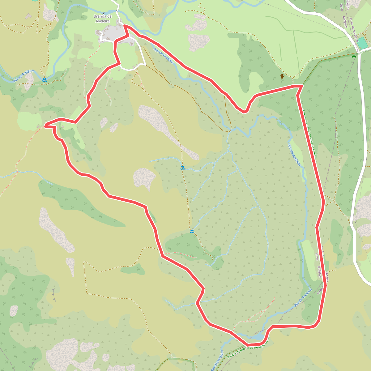
#1. Aveleira
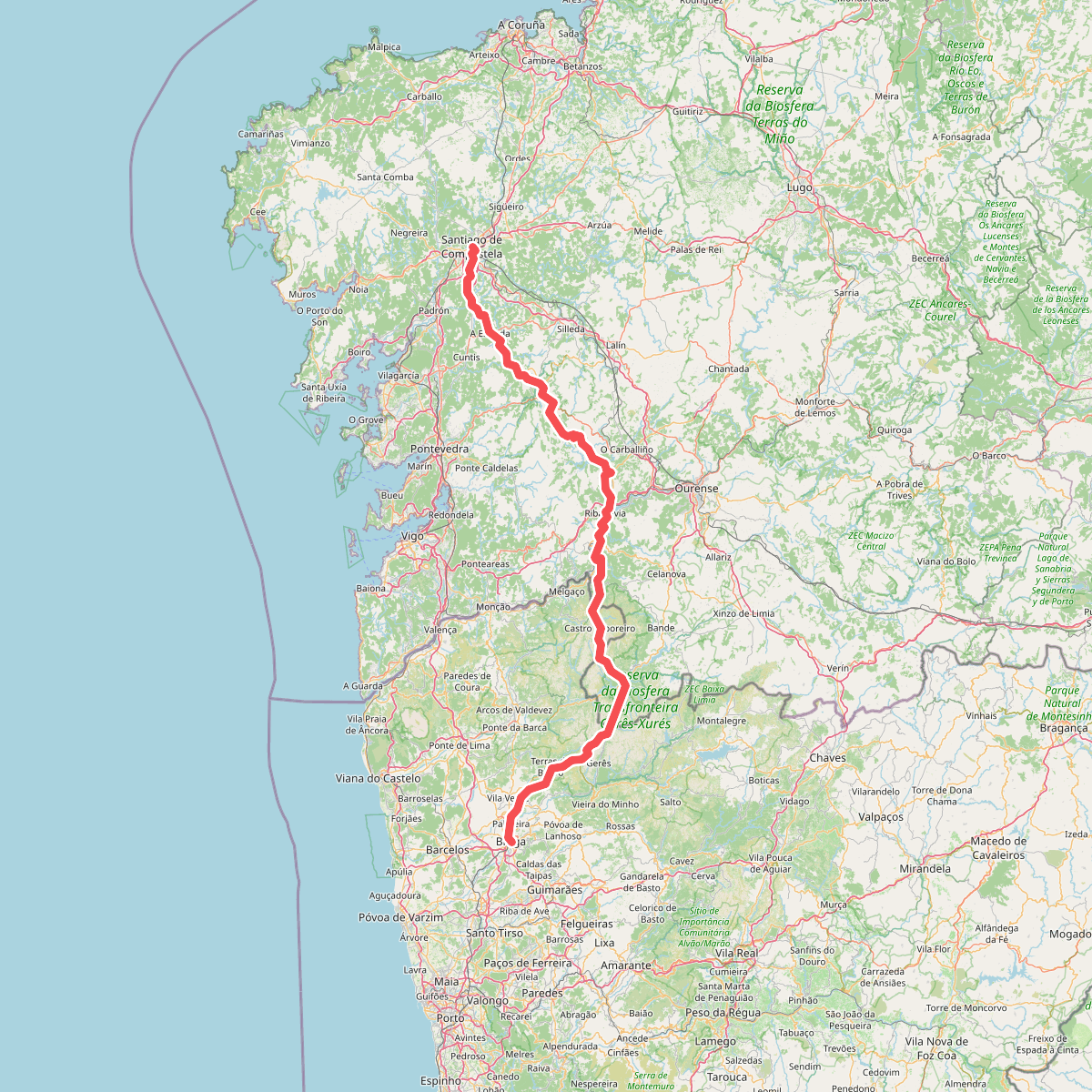
#2. Caminho da Geira e dos Arrieiros
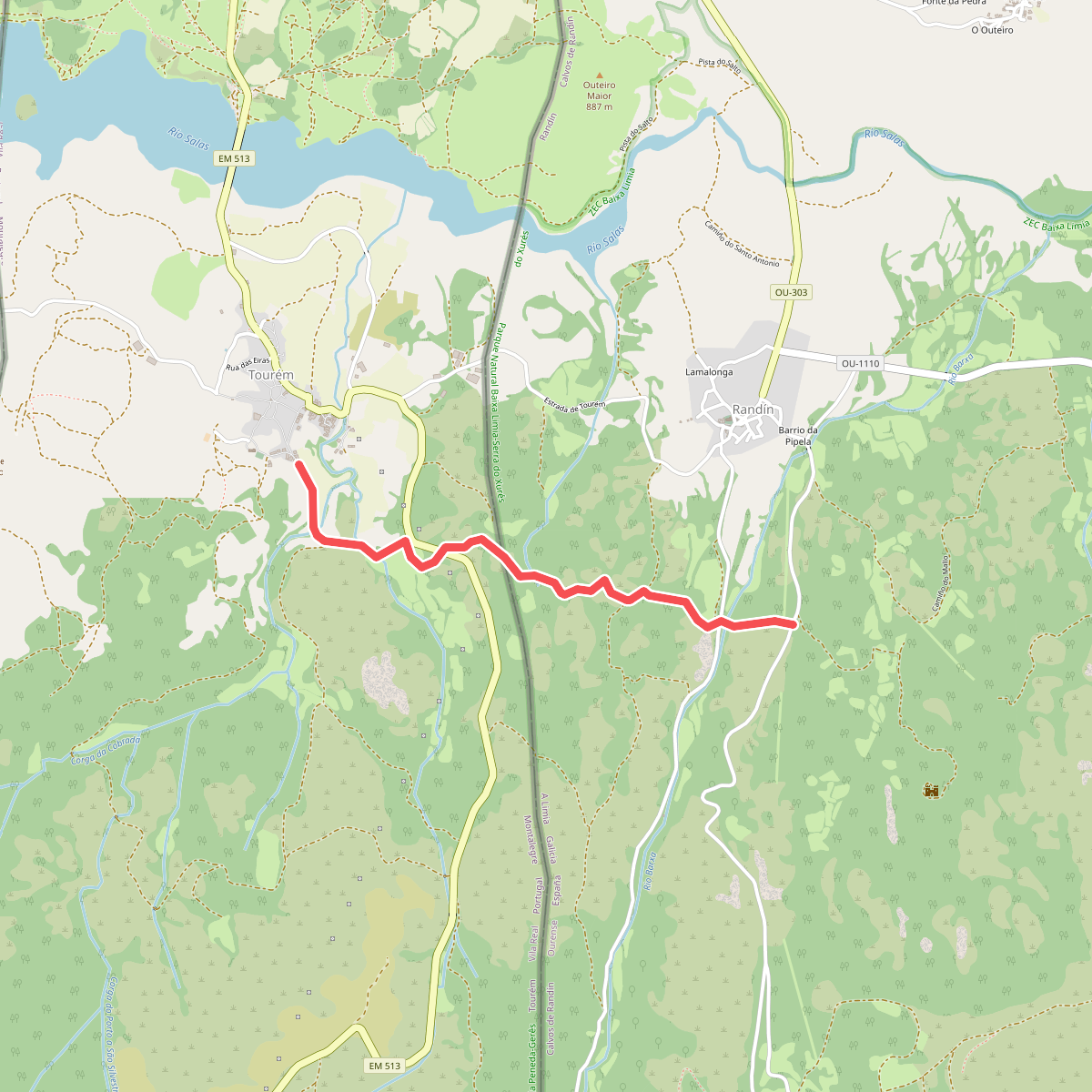
#3. Caminho privilegiado do Couto Misto
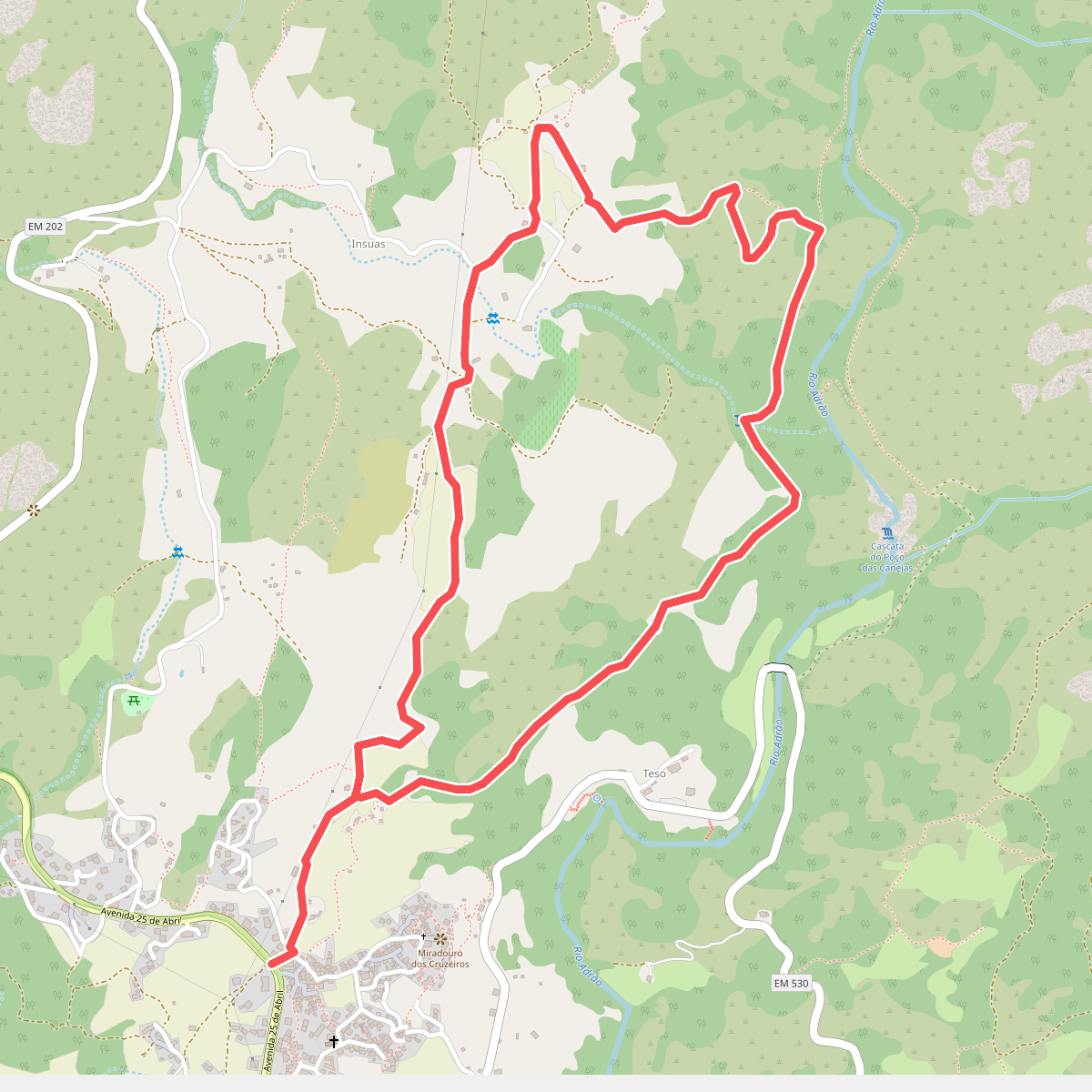
#4. Caminhos do Pão e Caminhos da Fé (Percurso Curto)
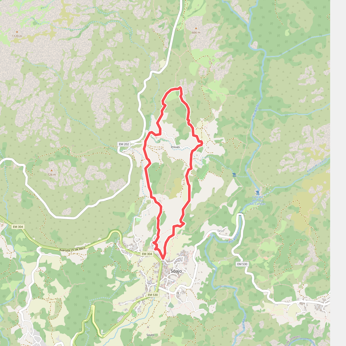
#5. Caminhos do Pão e Caminhos da Fé (Percurso Longo)
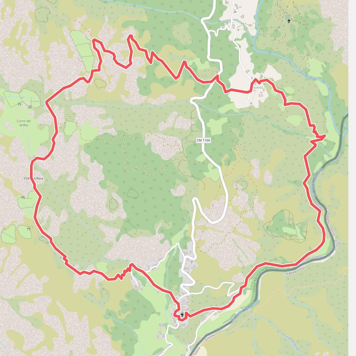
#6. Curro da Velha
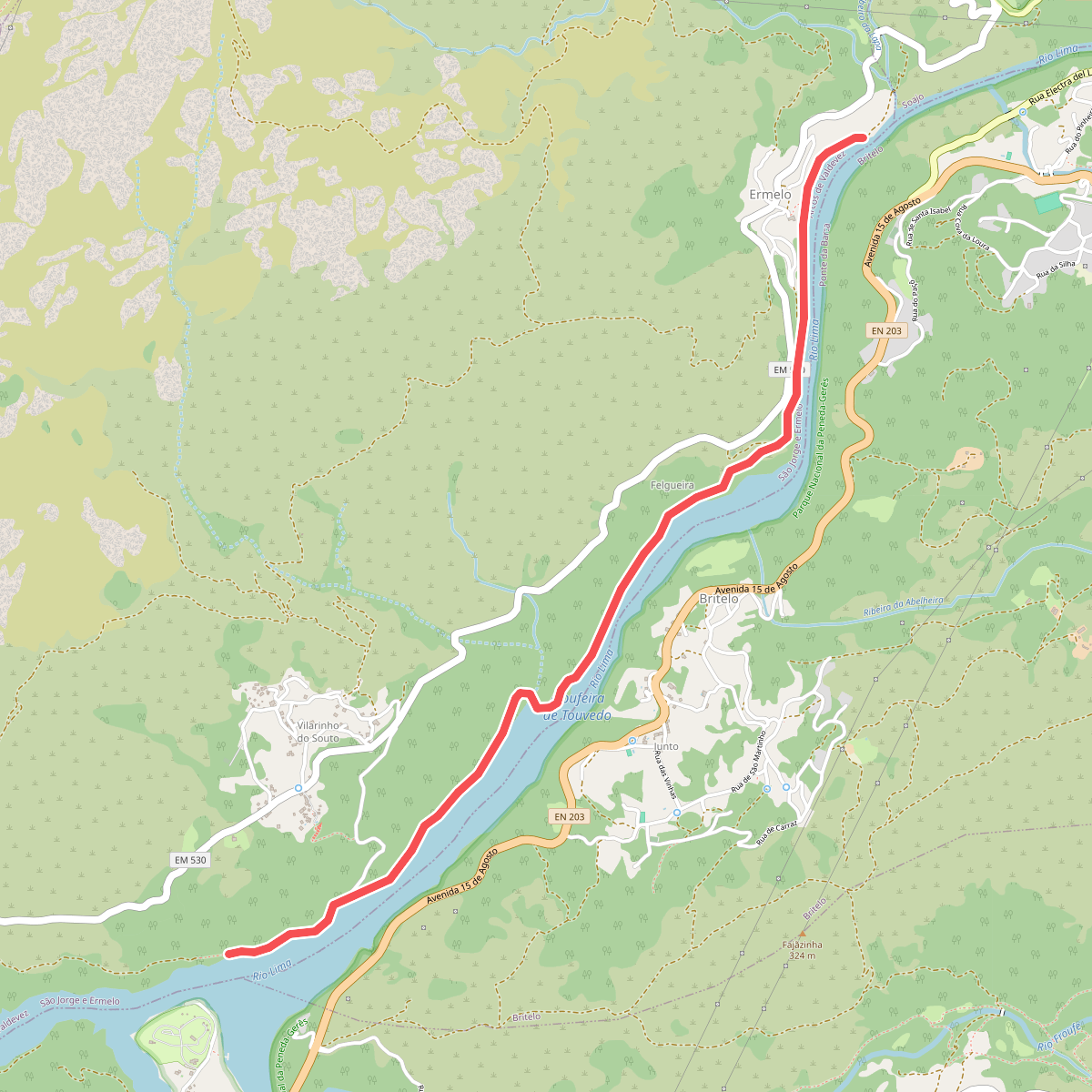
#7. Ecovia do Ermelo
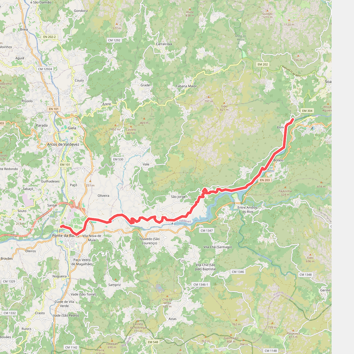
#8. Ecovia do Lima
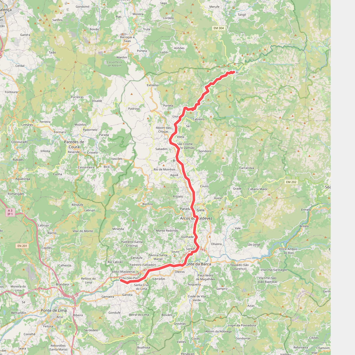
#9. Ecovia do Vez
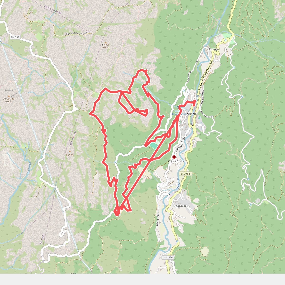
#10. Geres Panorama
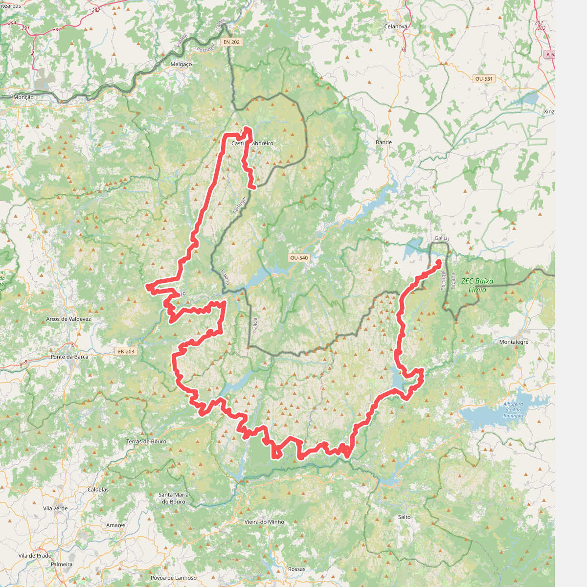
#11. Grande Rota Peneda-Gerês