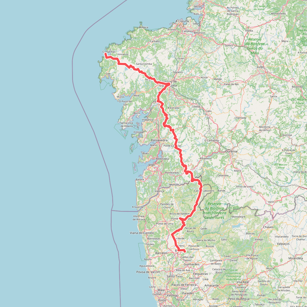
The best hiking routes in Serra de Arga
Discover the best walks in Serra de Arga. 11 routes on the map, with descriptions, photos and GPX.
Managed by Instituto da Conservação da Natureza e das Florestas
About Serra de Arga
Serra de Arga is a massive granite dome rising in the northwest of Portugal, characterized by a stark contrast between its exposed, wind-swept plateau and the deep, wooded valleys that cut into its flanks. On the high ground, the landscape is dominated by bare gray rock, low gorse, and heather, where free-roaming Garrano horses graze among ancient stone corrals. Underfoot, the walking consists mostly of rough, stony tracks and old slab-paved shepherd paths that require careful stepping, rather than soft forest soil.
Read more
About Serra de Arga
Serra de Arga is a massive granite dome rising in the northwest of Portugal, characterized by a stark contrast between its exposed, wind-swept plateau and the deep, wooded valleys that cut into its flanks. On the high ground, the landscape is dominated by bare gray rock, low gorse, and heather, where free-roaming Garrano horses graze among ancient stone corrals. Underfoot, the walking consists mostly of rough, stony tracks and old slab-paved shepherd paths that require careful stepping, rather than soft forest soil.
Read moreSerra de Arga is a massive granite dome rising in the northwest of Portugal, characterized by a stark contrast between its exposed, wind-swept plateau and the deep, wooded valleys that cut into its flanks. On the high ground, the landscape is dominated by bare gray rock, low gorse, and heather, where free-roaming Garrano horses graze among ancient stone corrals. Underfoot, the walking consists mostly of rough, stony tracks and old slab-paved shepherd paths that require careful stepping, rather than soft forest soil.
As you descend from the exposed granite tops, the vegetation changes abruptly. Deep ravines shelter dense oak woods, and the sound of rushing water becomes constant. Here, the paths run alongside levadas (stone irrigation channels) and lead to mountain streams with natural rock pools and historic schist villages like Cerquido. These lower sections offer shade and shelter, but the terrain remains steep and uneven, with damp, moss-covered stones replacing the dry gravel of the plateau.
This area is ideal for walkers who prefer rugged, self-navigated terrain over manicured trail networks. There are no high jagged peaks or marked boardwalks here; instead, the challenge lies in the steep elevation changes and the stony, often loose ground. In May, the mountain is particularly distinct as the yellow gorse and purple heather bloom simultaneously across the granite slopes, making it a prime time to observe the traditional pastoral system that still shapes this landscape.
Hiking routes in Serra de Arga (11)
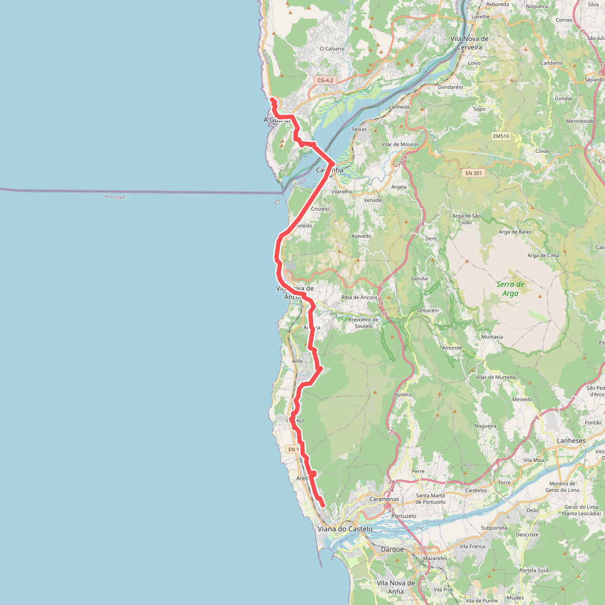
#1. Caminho Português da Costa (Viana do Castelo - A Guarda)
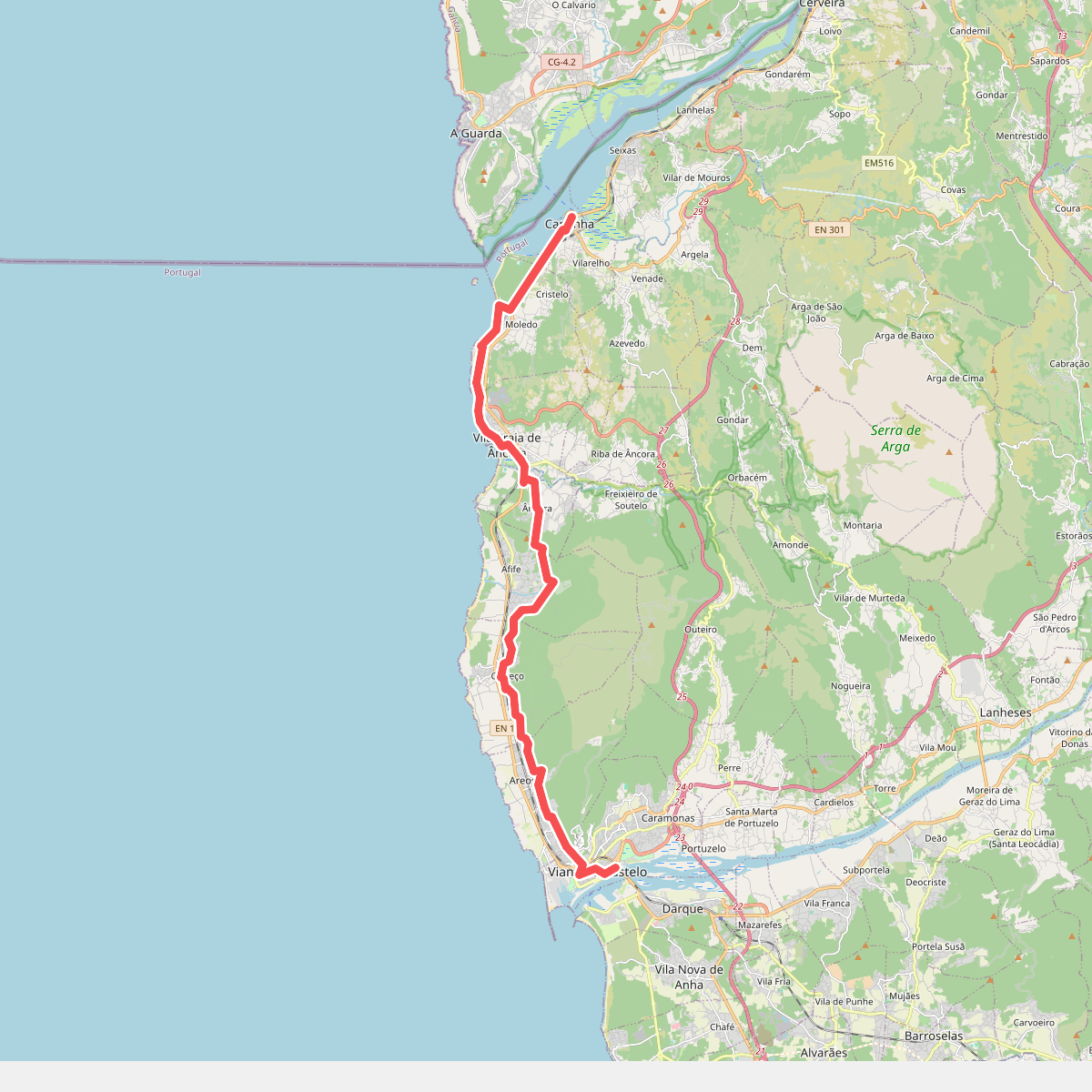
#2. Camino Viana do Castelo - Caminha
Viana do Castelo,Caminha,Vila Praia de Âncora
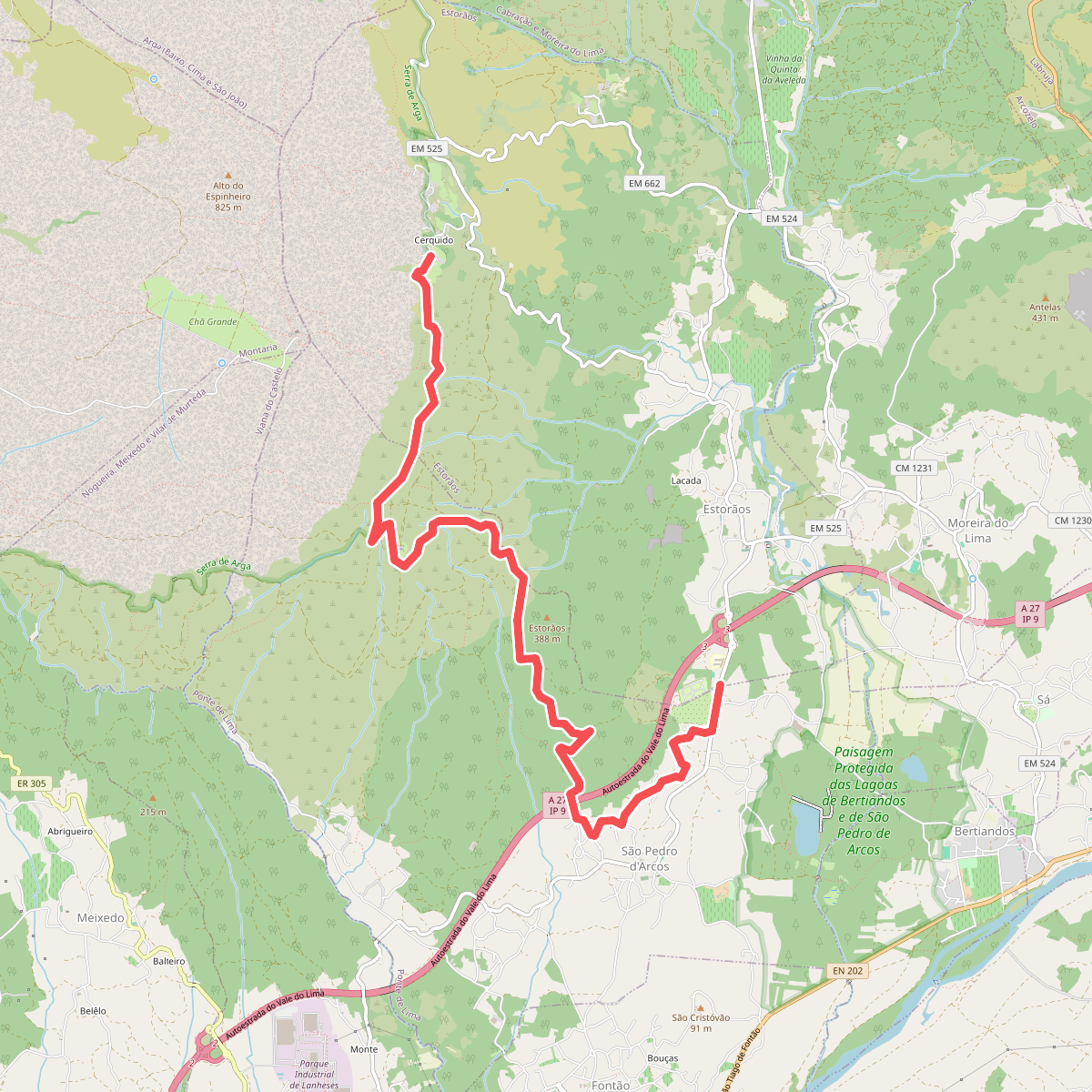
#3. Percurso do Cerquido
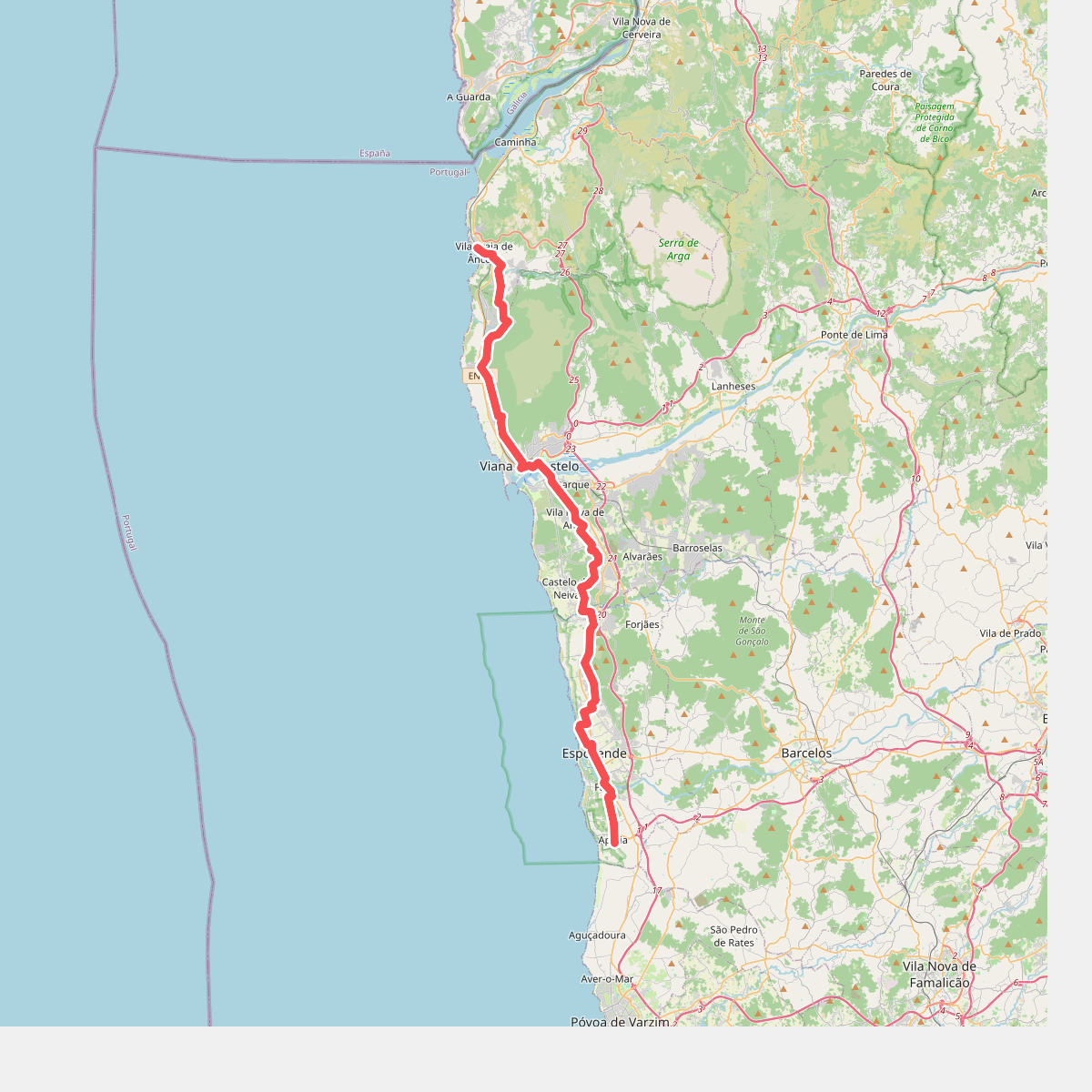
#4. Porto - Santiago deel 2 · Porto - Santiago etappe 2
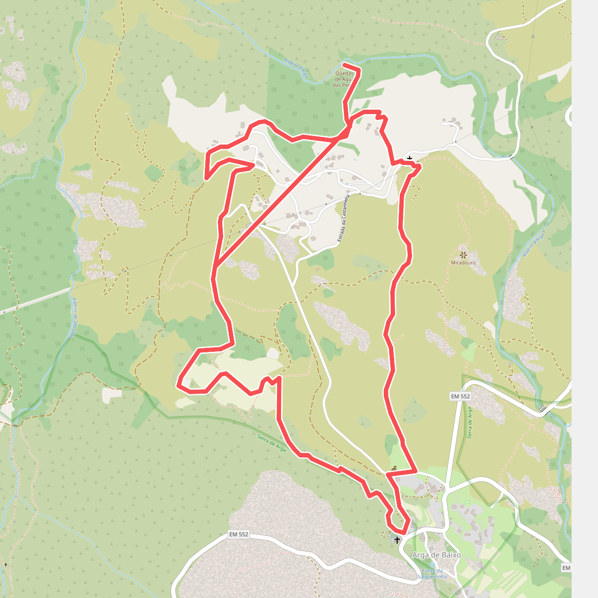
#5. Trilho da Chã da Franqueira
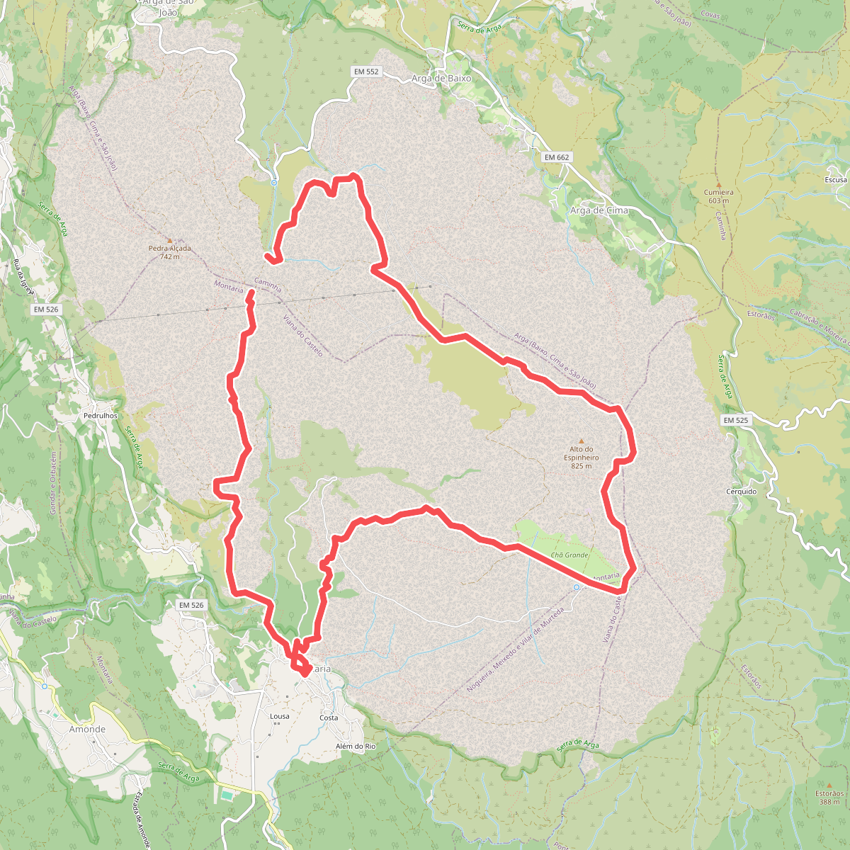
#6. Trilho da Montanha Sagrada
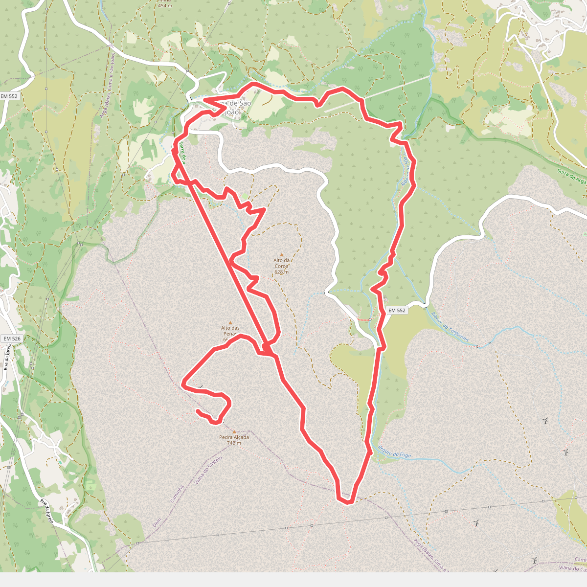
#7. Trilho da Pedra Alçada
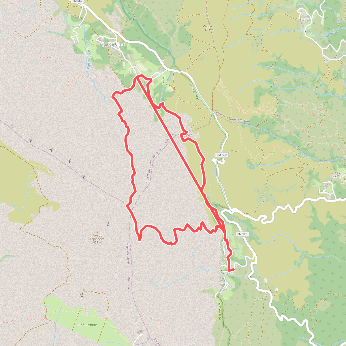
#8. Trilho do Lobo Atlântico
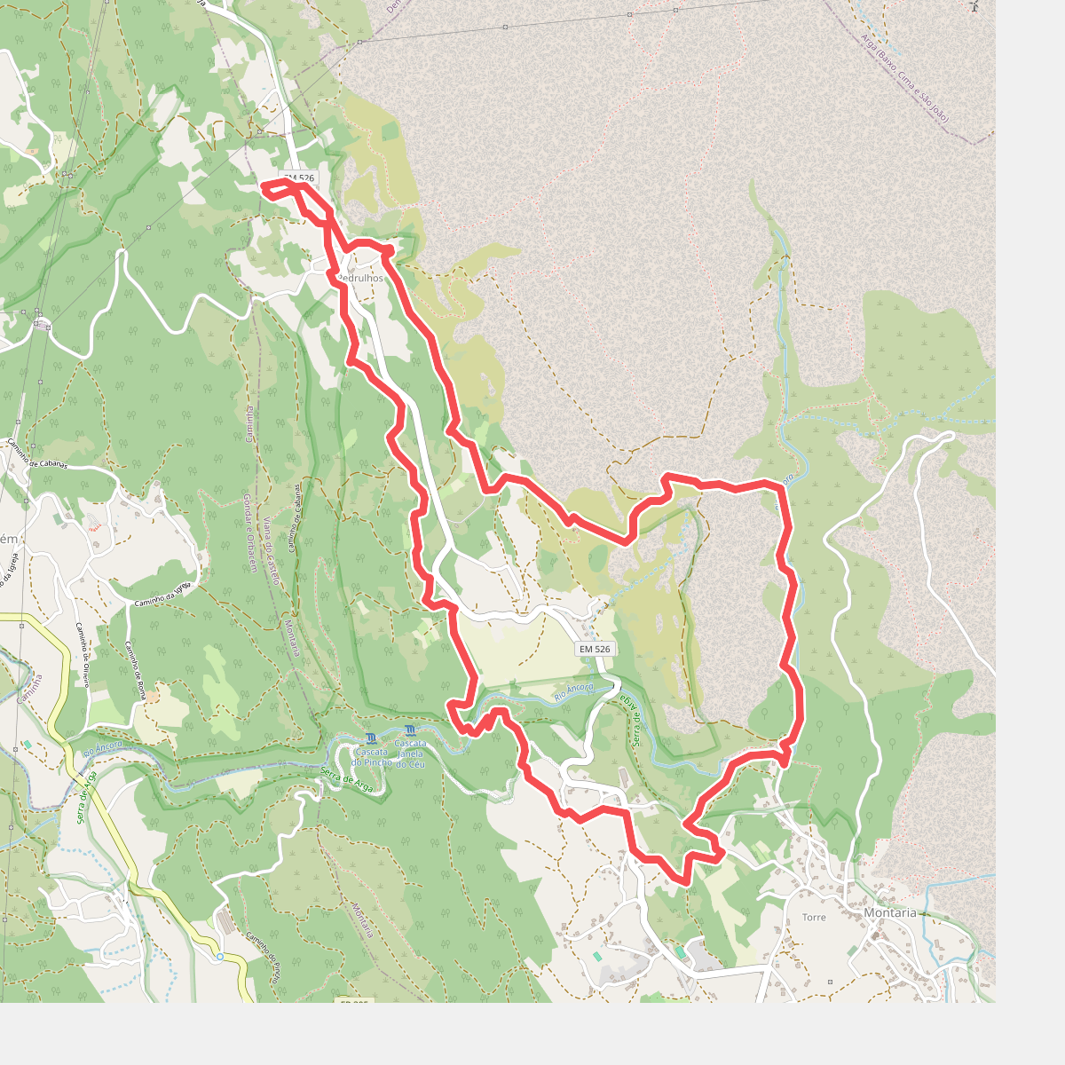
#9. Trilho do Pôr-do-Sol
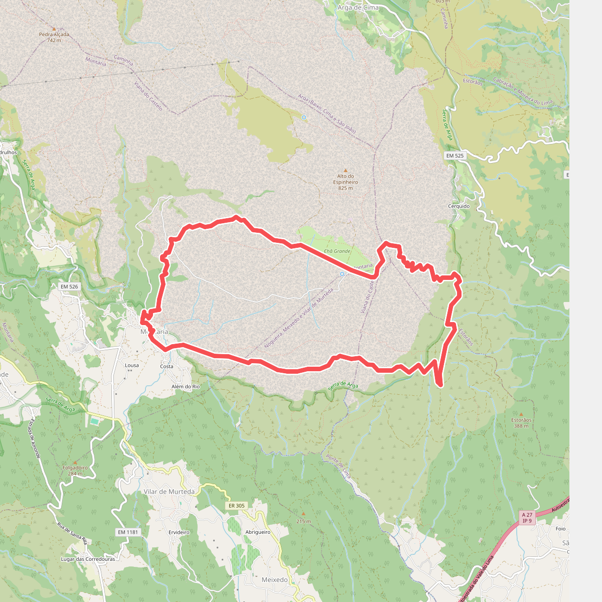
#10. Trilho dos Pastores