The best hiking routes in Serra da Estrela
Discover the best walks in Serra da Estrela. 40 routes on the map, with descriptions, photos and GPX.
Managed by Instituto da Conservação da Natureza e das Florestas
About Serra da Estrela
Serra da Estrela offers a starkly glaciated landscape that contrasts sharply with the lower, forested hills of central Portugal. As you ascend, the maritime pines and oak woodlands give way to a high-altitude plateau dominated by massive, weathered granite boulders, scrubby juniper, and high-elevation heath. This is a rocky, exposed environment where the terrain is defined by deep glacial valleys like the Z'ezere, sheer cliffs, and high-altitude lagoons. Walkers should expect rugged, uneven ground underfoot, with routes often following ancient shepherd paths over bare rock, rough stone steps, and gravelly tracks.
Read more
About Serra da Estrela
Serra da Estrela offers a starkly glaciated landscape that contrasts sharply with the lower, forested hills of central Portugal. As you ascend, the maritime pines and oak woodlands give way to a high-altitude plateau dominated by massive, weathered granite boulders, scrubby juniper, and high-elevation heath. This is a rocky, exposed environment where the terrain is defined by deep glacial valleys like the Z'ezere, sheer cliffs, and high-altitude lagoons. Walkers should expect rugged, uneven ground underfoot, with routes often following ancient shepherd paths over bare rock, rough stone steps, and gravelly tracks.
Read moreSerra da Estrela offers a starkly glaciated landscape that contrasts sharply with the lower, forested hills of central Portugal. As you ascend, the maritime pines and oak woodlands give way to a high-altitude plateau dominated by massive, weathered granite boulders, scrubby juniper, and high-elevation heath. This is a rocky, exposed environment where the terrain is defined by deep glacial valleys like the Z'ezere, sheer cliffs, and high-altitude lagoons. Walkers should expect rugged, uneven ground underfoot, with routes often following ancient shepherd paths over bare rock, rough stone steps, and gravelly tracks.
Unlike softer mountain ranges, this area is characterized by its harsh, stony texture and lack of dense forest cover at higher elevations. The landscape is a direct result of ancient glacial movement, which carved out the dramatic U-shaped valleys and left behind fields of erratic boulders that you will navigate around on the trail. In the highest zones near Torre, the vegetation is sparse, consisting of low-lying shrubs that cling to the crevices in the granite. Lower down, the paths cross mountain meadows, known locally as cervunais, which remain damp and green even into the summer months.
When choosing where to walk, the lower valleys offer more sheltered, shaded routes through traditional terraced farming hamlets, while the high plateau is entirely open and rocky. Navigating the upper trails requires careful attention to stone cairns, as the path often merges directly into the grey granite bedrock. Well-known spots such as the Cov#o dos Conchos can attract more visitors, but choosing the longer, steeper ascent routes through the glacial valleys generally leads to much quieter trails where the geological scale of the mountain range is most apparent.
Hiking routes in Serra da Estrela (40)
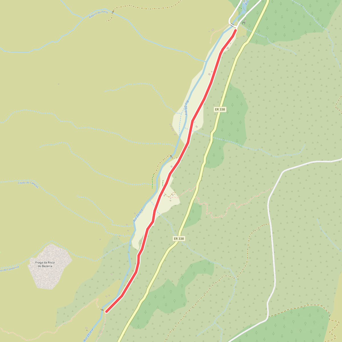
#1. Estação da Biodiversidade do Vale do Zêzere
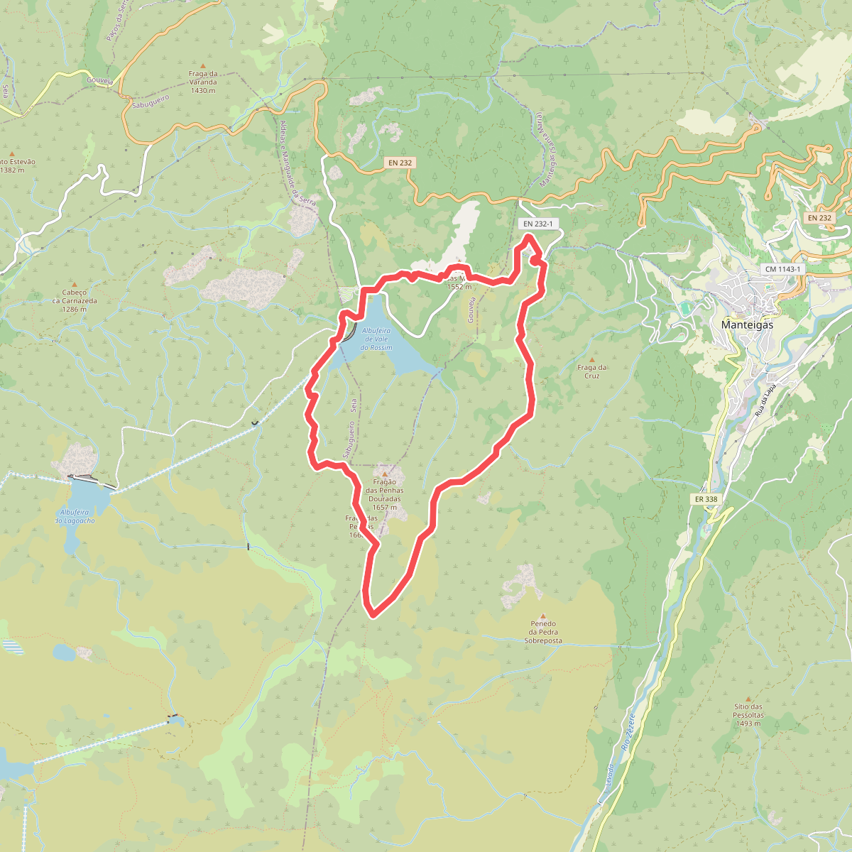
#2. Fraga das Penhas
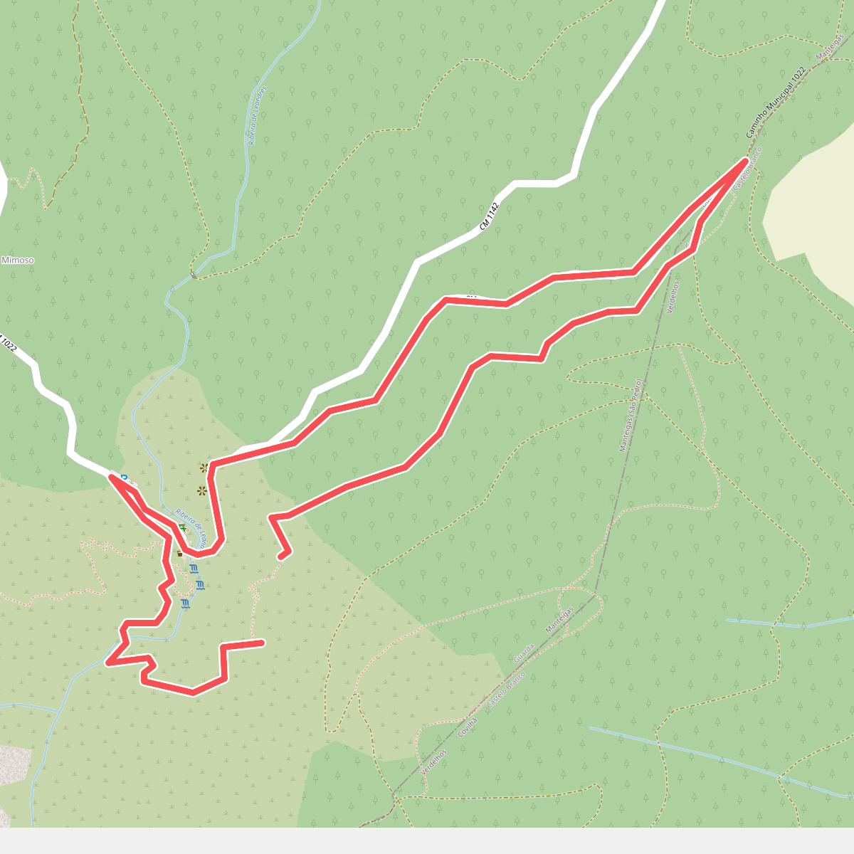
#3. Poço do Inferno
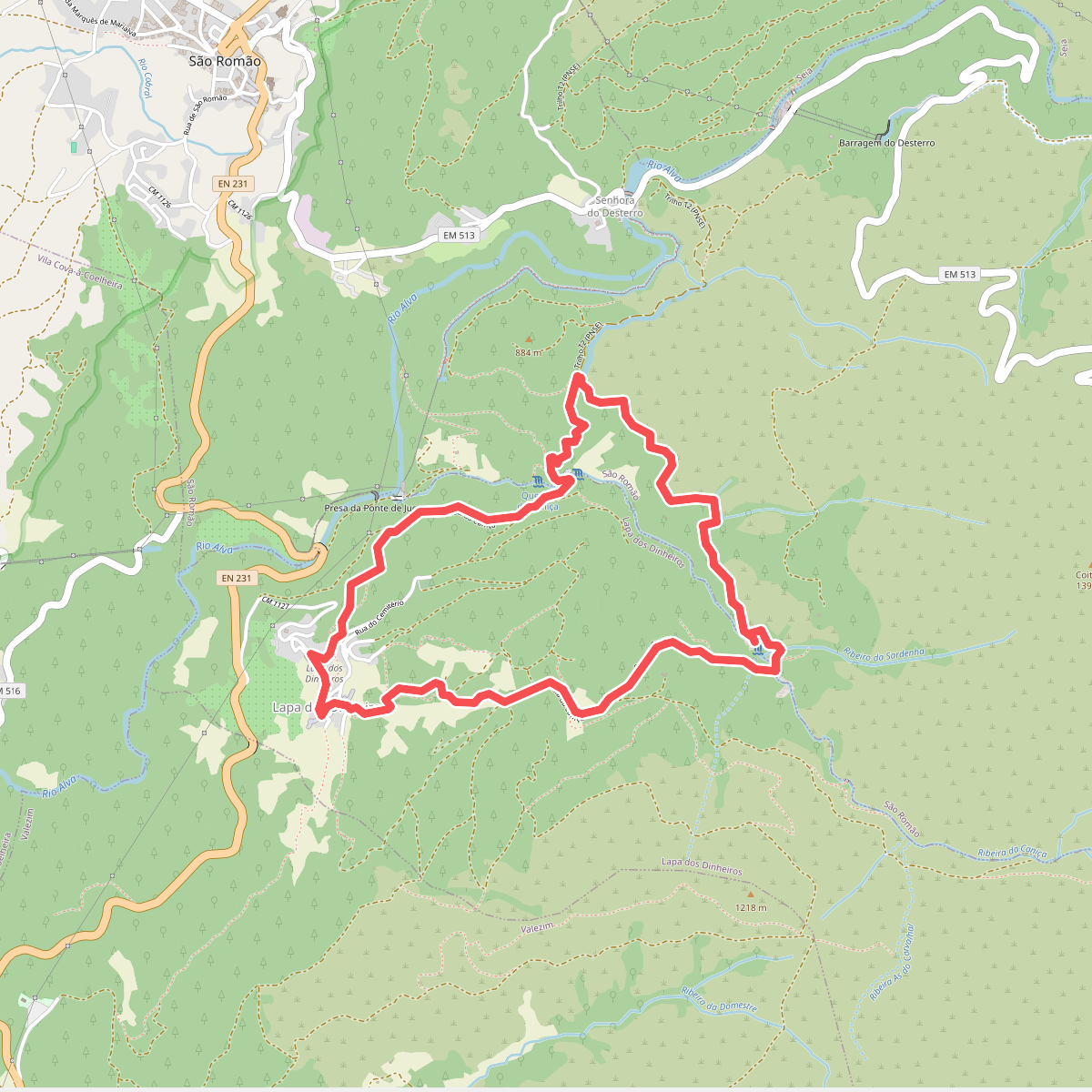
#4. Rota da Caniça
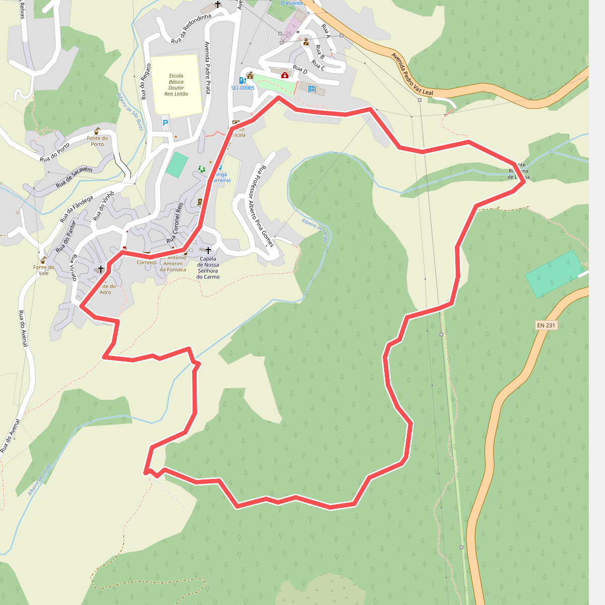
#5. Rota da Eira
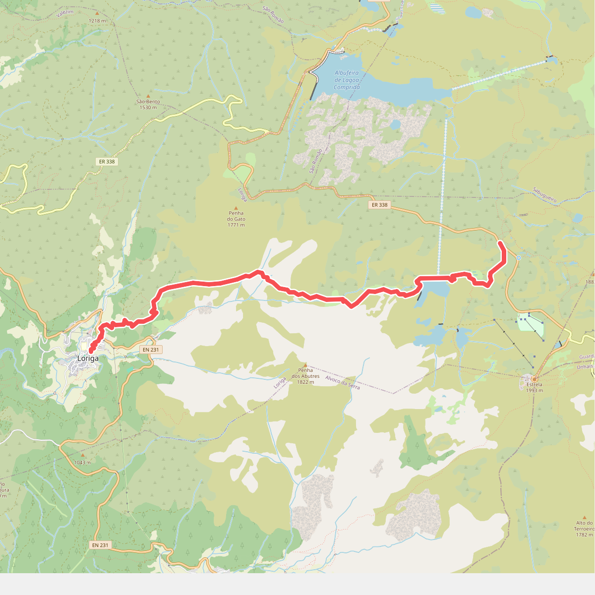
#6. Rota da Garganta de Loriga
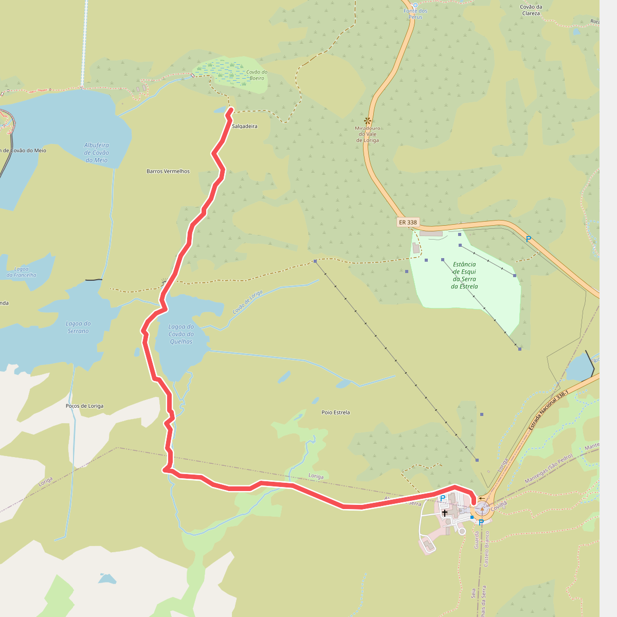
#7. Rota da Garganta de Loriga - Derivação Torre
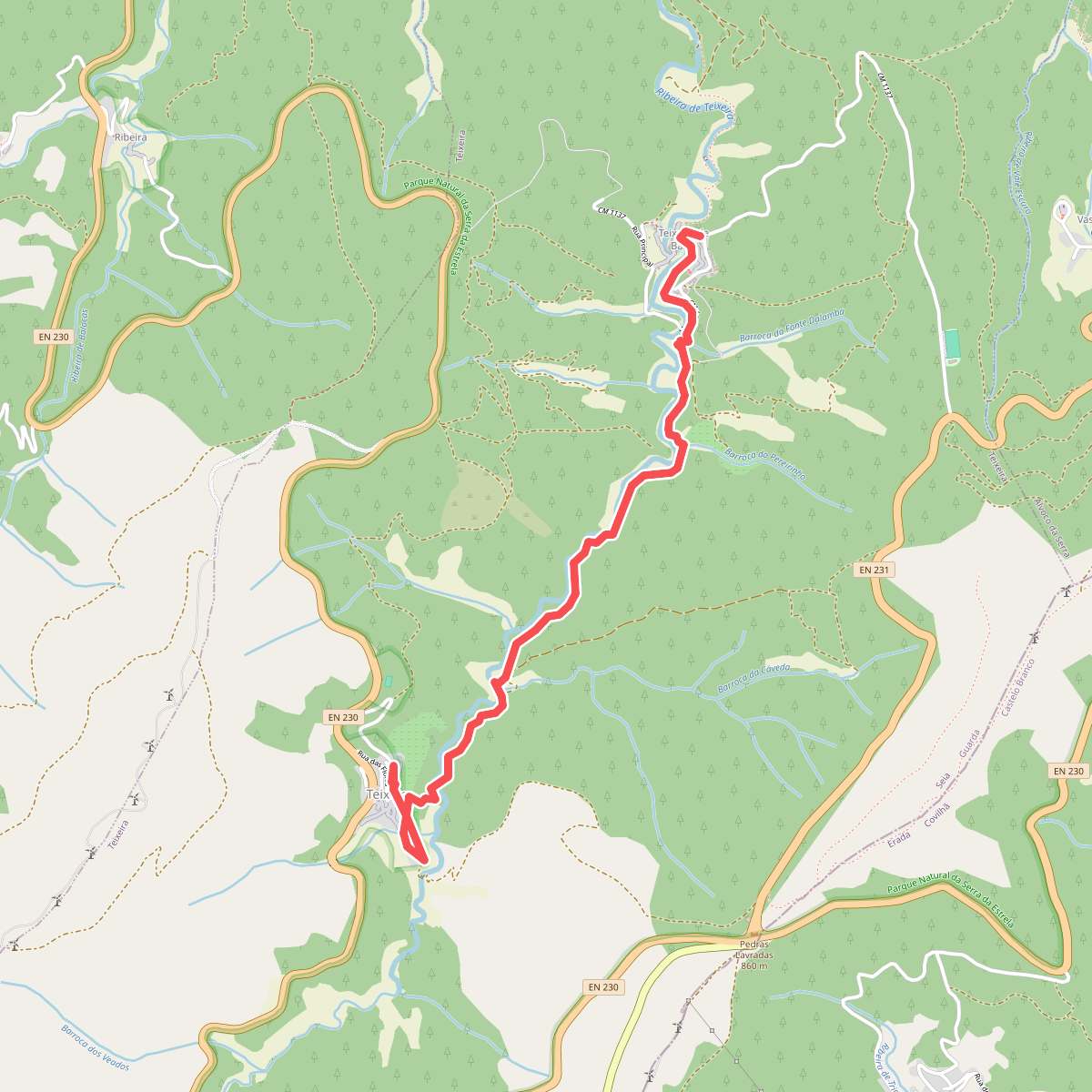
#8. Rota da Missa
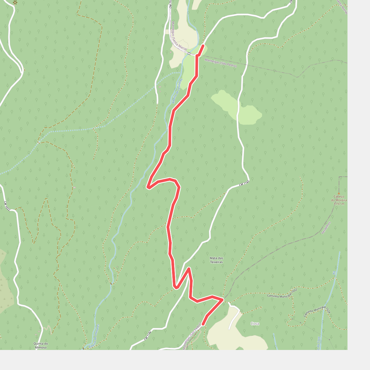
#9. Rota da Reboleira - Derivação
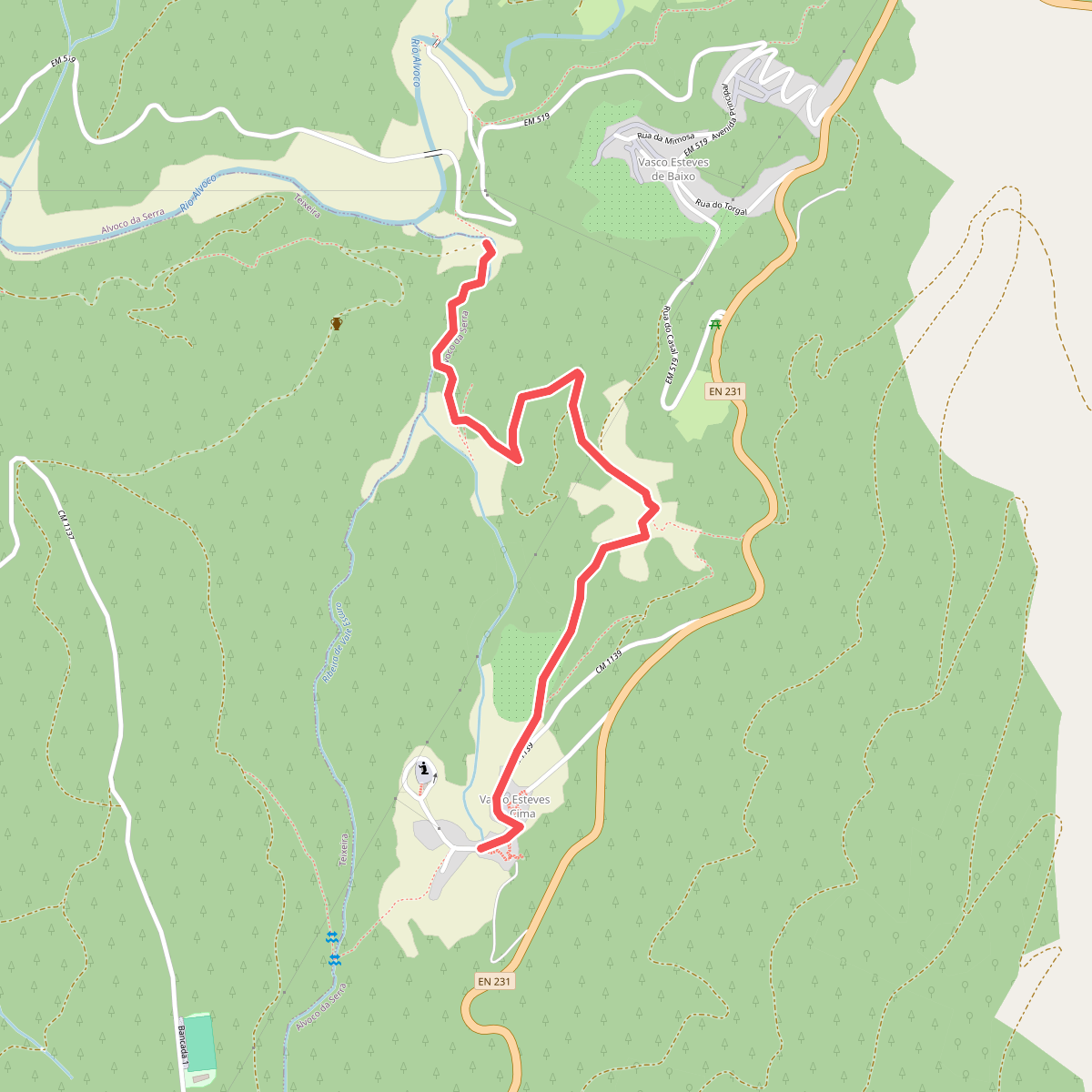
#10. Rota da Ribeira de Alvoco - Derivação
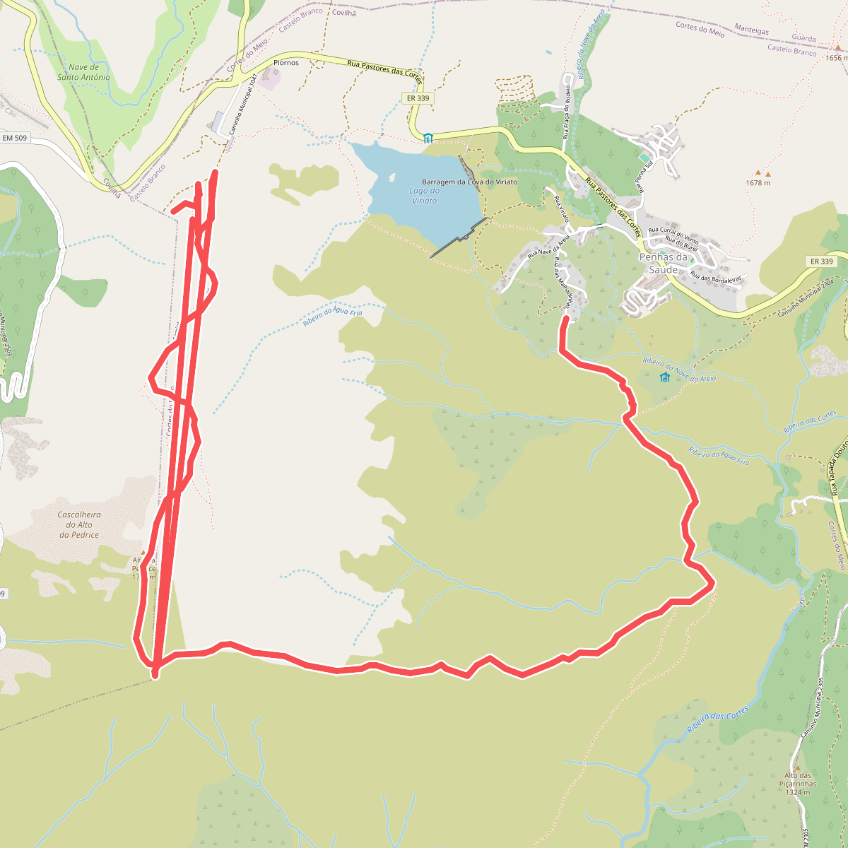
#11. Rota da Varanda dos Pastores