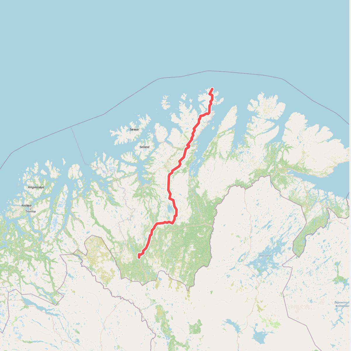
The best hiking routes in Seiland nasjonalpark
Discover the best walks in Seiland nasjonalpark. 1 routes on the map, with descriptions, photos and GPX.
Managed by Seiland/Sievjju nasjonalparkstyre
About Seiland nasjonalpark
Seiland nasjonalpark presents a stark, high-latitude landscape dominated by two of Scandinavia's northernmost glaciers, Seilandsjøkelen and Nordmannsjøkelen, which drape over dark, steep-sided coastal mountains. Unlike the flatter tundra of the Finnmarksvidda mainland, this island park is defined by dramatic elevation changes, where sheer cliffs plunge directly into deep fjords like Jøfjorden. Walkers will find no marked trails, signposts, or boardwalks here. The terrain demands self-reliance, requiring you to navigate over raw, glaciated bedrock, loose scree slopes, and wet, mossy valley floors.
Read more
About Seiland nasjonalpark
Seiland nasjonalpark presents a stark, high-latitude landscape dominated by two of Scandinavia's northernmost glaciers, Seilandsjøkelen and Nordmannsjøkelen, which drape over dark, steep-sided coastal mountains. Unlike the flatter tundra of the Finnmarksvidda mainland, this island park is defined by dramatic elevation changes, where sheer cliffs plunge directly into deep fjords like Jøfjorden. Walkers will find no marked trails, signposts, or boardwalks here. The terrain demands self-reliance, requiring you to navigate over raw, glaciated bedrock, loose scree slopes, and wet, mossy valley floors.
Read moreSeiland nasjonalpark presents a stark, high-latitude landscape dominated by two of Scandinavia's northernmost glaciers, Seilandsjøkelen and Nordmannsjøkelen, which drape over dark, steep-sided coastal mountains. Unlike the flatter tundra of the Finnmarksvidda mainland, this island park is defined by dramatic elevation changes, where sheer cliffs plunge directly into deep fjords like Jøfjorden. Walkers will find no marked trails, signposts, or boardwalks here. The terrain demands self-reliance, requiring you to navigate over raw, glaciated bedrock, loose scree slopes, and wet, mossy valley floors.
Underfoot, the landscape transitions rapidly from slippery coastal rocks to spongy peat and dwarf-shrub heath in the lower valleys. As you climb, the vegetation thins out entirely, leaving bare, polished stone and fields of boulders shaped by ice. Meltwater streams from the glaciers cut through the valleys, often requiring wading as there are no bridges. The geology is highly visible, with dark, basic rocks supporting pockets of rare alpine plants that cling to the crevices.
This is a demanding environment without any tourist infrastructure, shelter, or easy escape routes. It is not a place for a casual stroll, but rather for experienced hikers comfortable with map-and-compass navigation in low visibility. While the coastal fringes show occasional signs of old settlement, the interior remains a wild, rocky expanse where the physical challenge of the terrain dictates your pace.