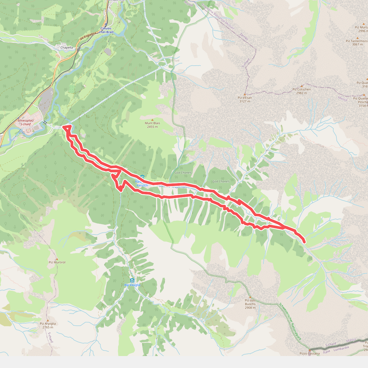
The best hiking routes in Schweizerischer Nationalpark
Discover the best walks in Schweizerischer Nationalpark. 19 routes on the map, with descriptions, photos and GPX.
About Schweizerischer Nationalpark
The Schweizerischer Nationalpark, located in the eastern corner of Switzerland, is a strictly protected wilderness where you must stay on the designated paths. Unlike typical alpine regions, there are no cable cars, mountain pastures with grazing cattle, or ski slopes here. The landscape is dominated by rugged dolomite rock formations, vast scree slopes, and dense mountain pine forests. Fallen trees and deadwood are left exactly where they land, creating a raw, untamed forest floor that contrasts sharply with managed woodlands.
Read more
About Schweizerischer Nationalpark
The Schweizerischer Nationalpark, located in the eastern corner of Switzerland, is a strictly protected wilderness where you must stay on the designated paths. Unlike typical alpine regions, there are no cable cars, mountain pastures with grazing cattle, or ski slopes here. The landscape is dominated by rugged dolomite rock formations, vast scree slopes, and dense mountain pine forests. Fallen trees and deadwood are left exactly where they land, creating a raw, untamed forest floor that contrasts sharply with managed woodlands.
Read moreThe Schweizerischer Nationalpark, located in the eastern corner of Switzerland, is a strictly protected wilderness where you must stay on the designated paths. Unlike typical alpine regions, there are no cable cars, mountain pastures with grazing cattle, or ski slopes here. The landscape is dominated by rugged dolomite rock formations, vast scree slopes, and dense mountain pine forests. Fallen trees and deadwood are left exactly where they land, creating a raw, untamed forest floor that contrasts sharply with managed woodlands.
Underfoot, the trails are mostly narrow, stony mountain tracks that require sturdy footwear and a steady step. As you walk, you will notice the transition from the dry, pine-scented valleys to the sparse, wind-exposed alpine meadows higher up. Because human intervention has been banned since 1914, the vegetation has reclaimed old pastures, and the natural tree line is visibly lower and more irregular than in other parts of the country.
For walkers, the choice is between deep valley routes along rushing mountain torrents and steep climbs to high passes like the Fuorcla Val Sassa. In June, the lower valleys show the first flush of alpine wildflowers, while the high passes often remain snow-covered. The park is well-known for its wildlife, and you are likely to spot red deer or chamois on the open slopes if you bring binoculars.
Hiking routes in Schweizerischer Nationalpark (19)
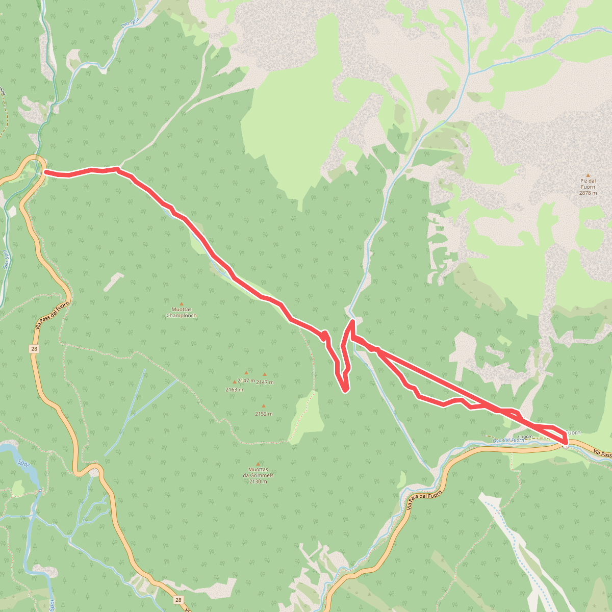
#1. Kinderpfad Champlönch
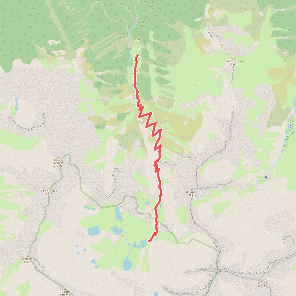
#2. Macun-Alp Zeznina Dadaint
Zernez
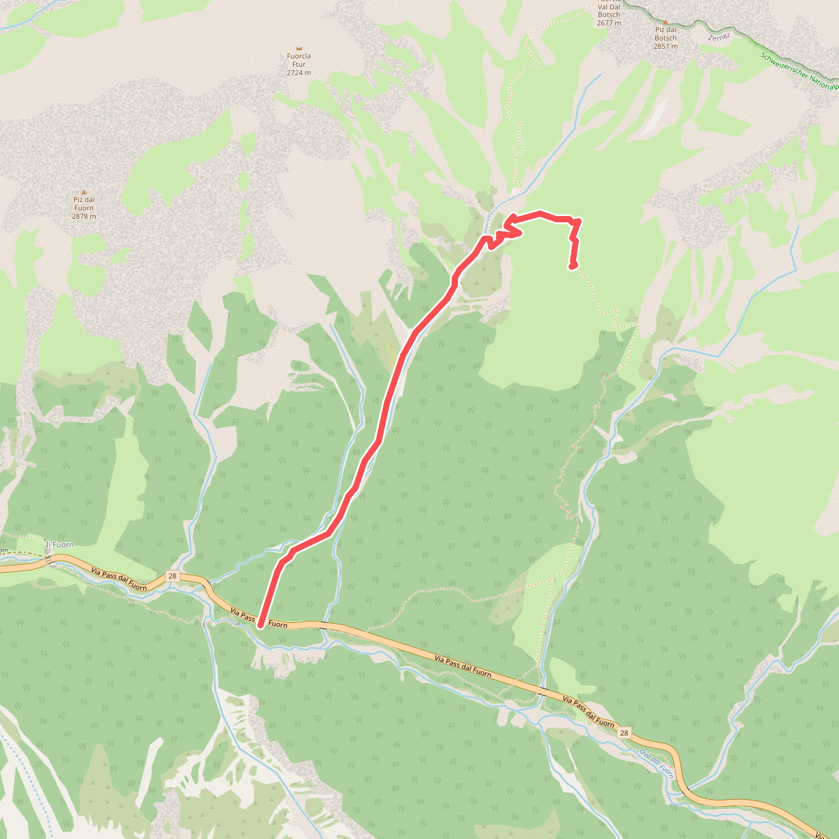
#3. Margunet · P7 – Margunet
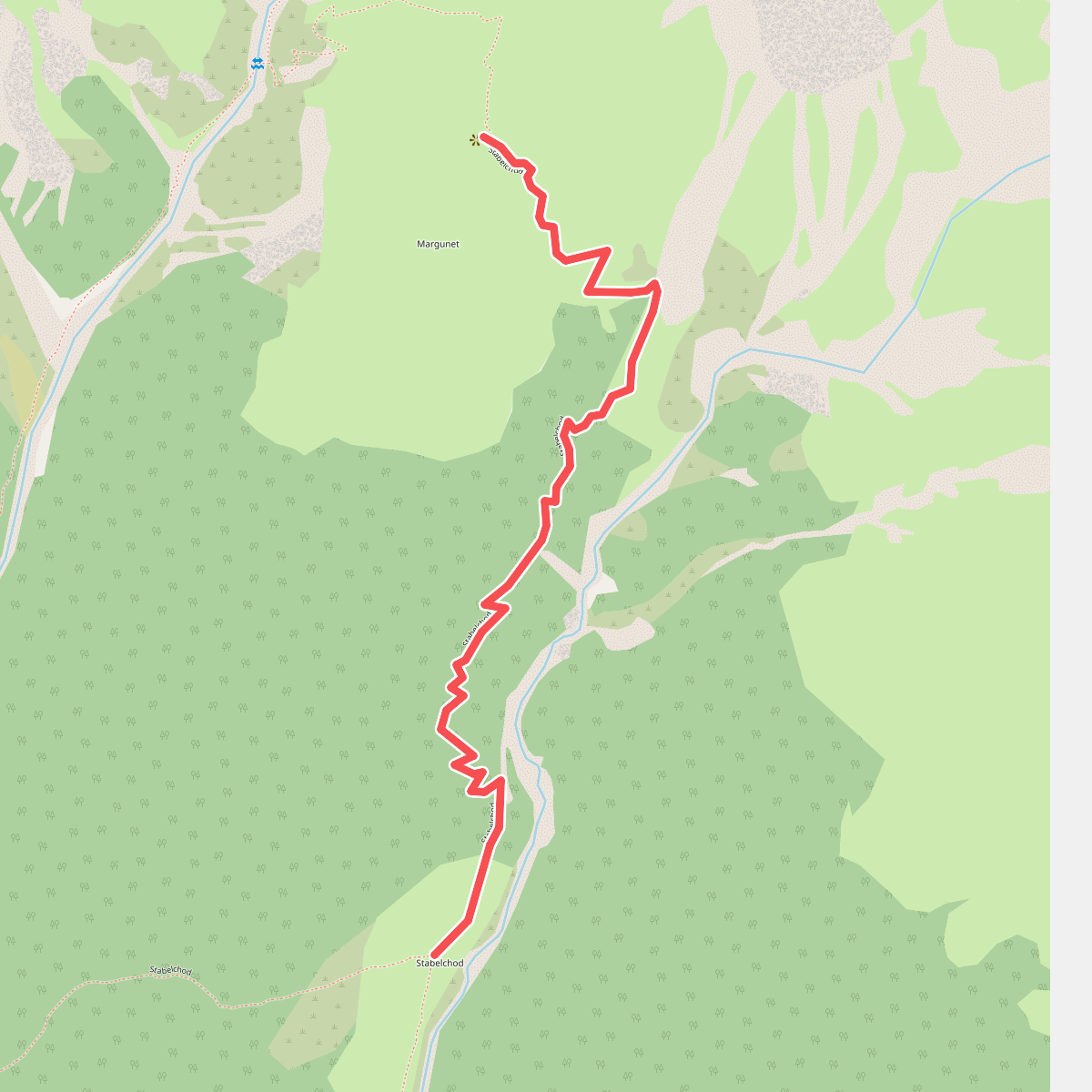
#4. Margunet · Stabelchod – Margunet
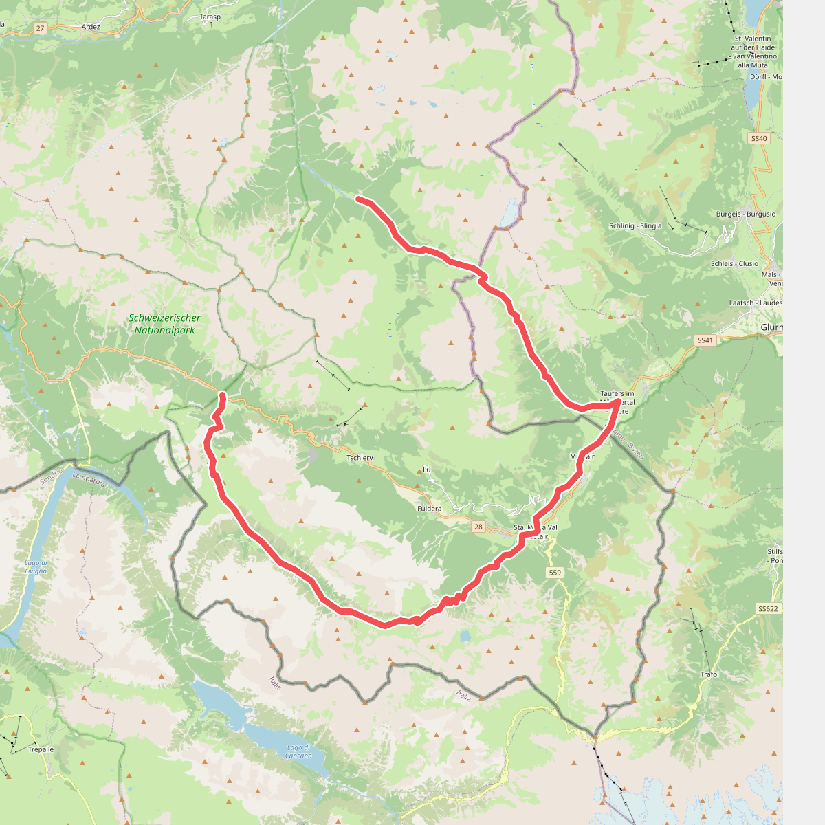
#5. Nationalpark Panoramaweg
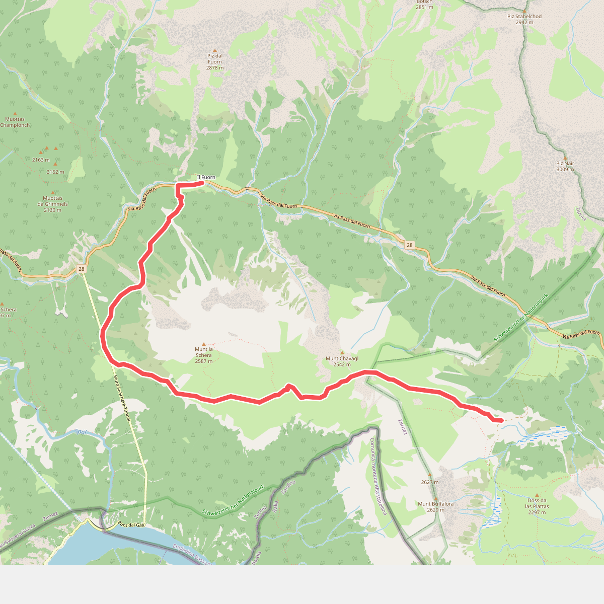
#6. Nationalpark Panoramaweg
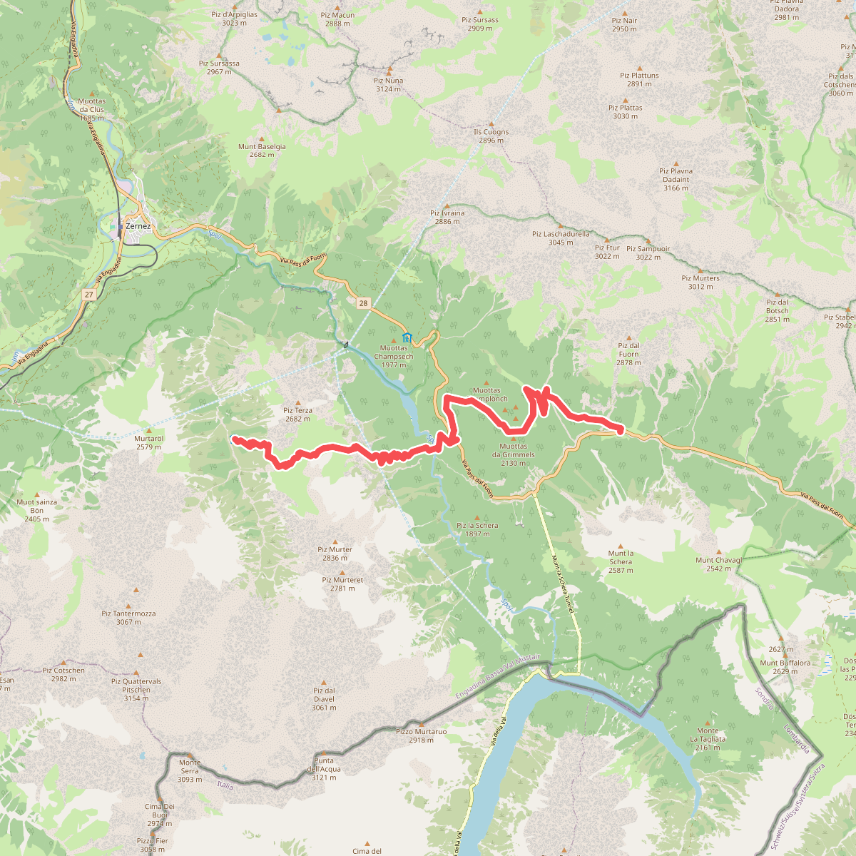
#7. Nationalpark Panoramaweg
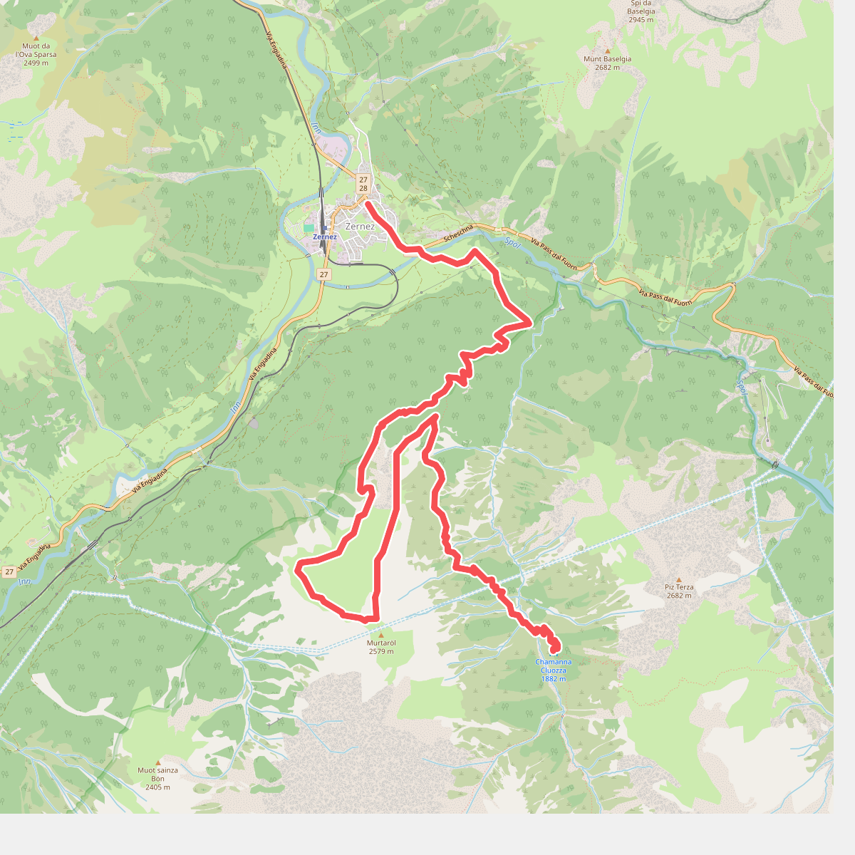
#8. Nationalpark Panoramaweg
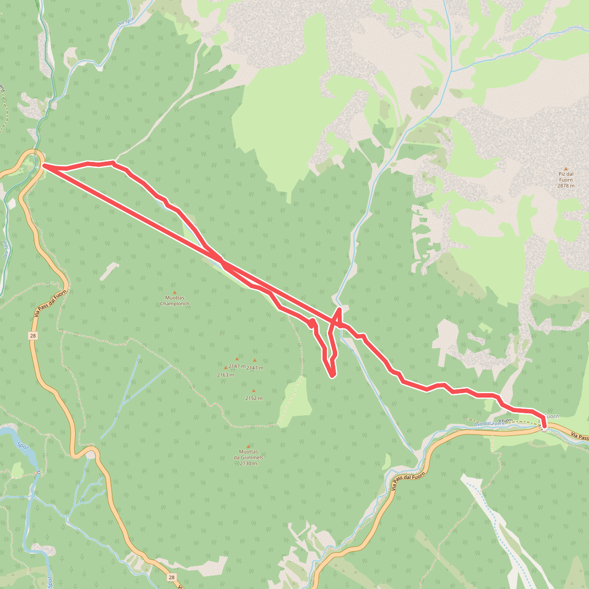
#9. Nationalpark Wanderroute 13 (Champlönch)
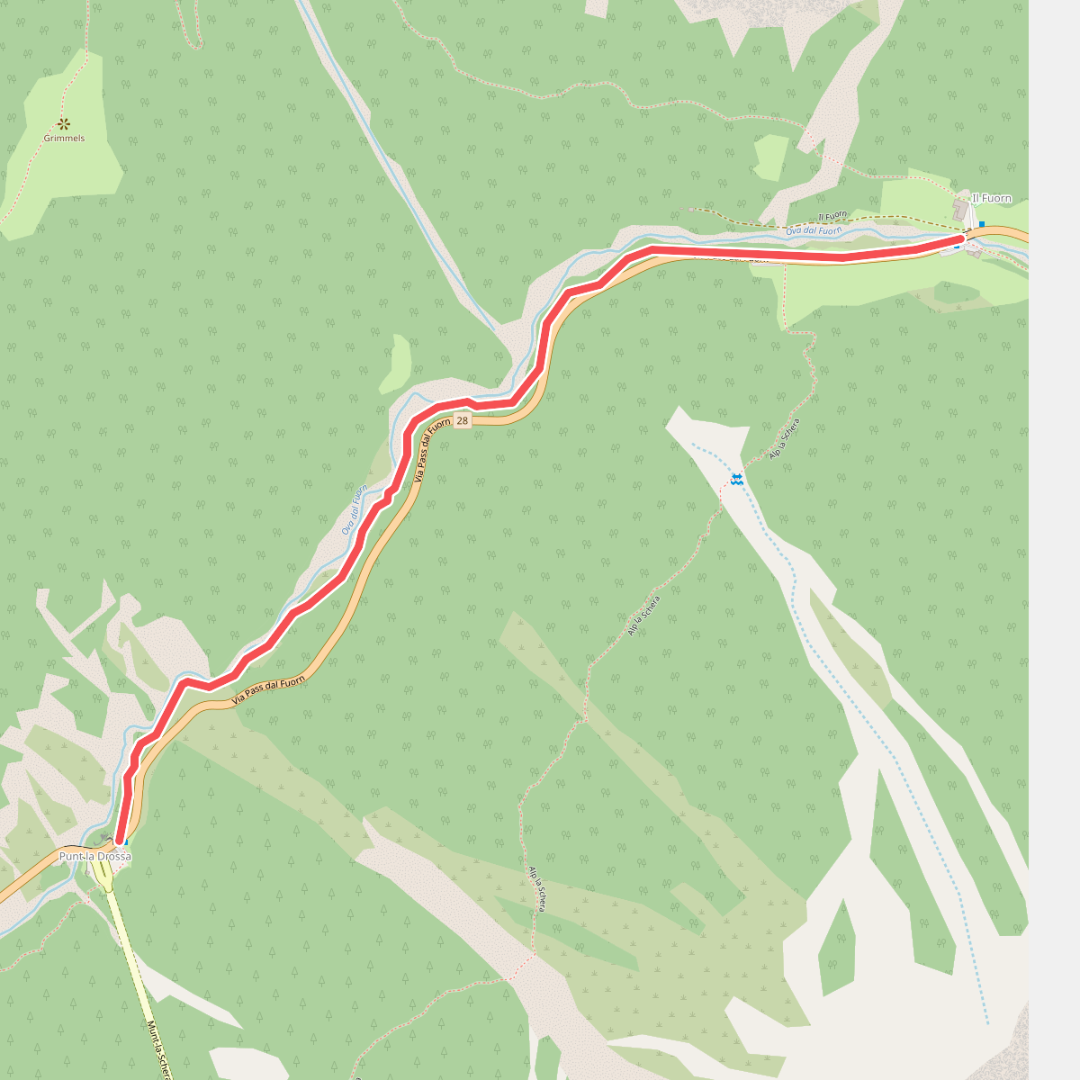
#10. Nationalpark Wanderroute 14 (Punt la Drossa - Il Fuorn)
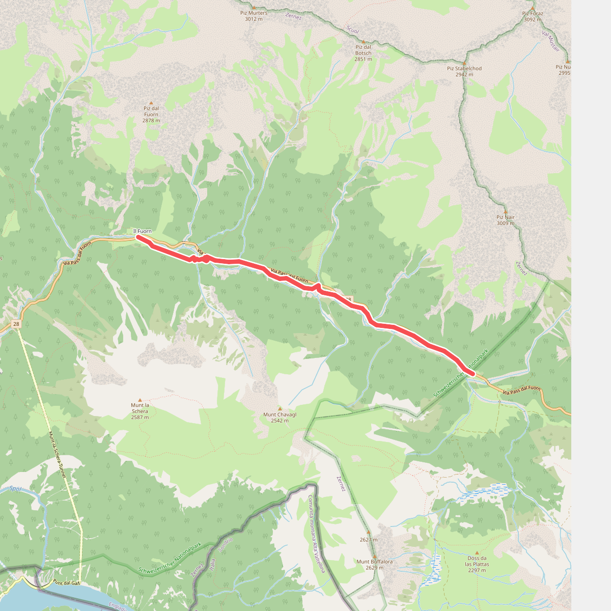
#11. Nationalpark Wanderroute 16 (Fuorntal)