

The best hiking routes in Schwarzachtal mit Nebentälern
Discover the best walks in Schwarzachtal mit Nebentälern. 43 routes on the map, with descriptions, photos and GPX.
About Schwarzachtal mit Nebentälern
Schwarzachtal mit Nebentälern offers a walk through a damp river valley system characterized by the slow-flowing Schwarzach river and its smaller, marshy side valleys. Unlike the dry pine forests of the surrounding Upper Palatinate region, this protected area is defined by wet meadows, dense alder carrs, and boggy reed beds. The landscape is flat to gently sloping, meaning you will not find dramatic gorges or high viewpoints here, but rather a quiet, enclosed wetland corridor.
Read more
About Schwarzachtal mit Nebentälern
Schwarzachtal mit Nebentälern offers a walk through a damp river valley system characterized by the slow-flowing Schwarzach river and its smaller, marshy side valleys. Unlike the dry pine forests of the surrounding Upper Palatinate region, this protected area is defined by wet meadows, dense alder carrs, and boggy reed beds. The landscape is flat to gently sloping, meaning you will not find dramatic gorges or high viewpoints here, but rather a quiet, enclosed wetland corridor.
Read moreSchwarzachtal mit Nebentälern offers a walk through a damp river valley system characterized by the slow-flowing Schwarzach river and its smaller, marshy side valleys. Unlike the dry pine forests of the surrounding Upper Palatinate region, this protected area is defined by wet meadows, dense alder carrs, and boggy reed beds. The landscape is flat to gently sloping, meaning you will not find dramatic gorges or high viewpoints here, but rather a quiet, enclosed wetland corridor.
Underfoot, the terrain transitions between firm forest tracks on the valley edges and soft, damp earth paths closer to the water. In the wetter side valleys, the ground can be muddy and soft, requiring sturdy footwear, while some sections utilize simple wooden boardwalks to cross the most vulnerable marshy zones. The vegetation changes visibly with the soil, shifting from mossy spruce stands on the higher banks to sedges and moisture-loving herbs right at the water's edge.
In late spring, around May, the valley bottoms are marked by the bright yellow blooms of marsh marigolds, making the distinction between the dry pine slopes and the wet valley floor especially clear. Because the area is a protected wetland habitat, walkers must stick strictly to the designated paths to avoid disturbing the nesting birds and sensitive marsh plants that thrive in these damp conditions.
Hiking routes in Schwarzachtal mit Nebentälern (43)
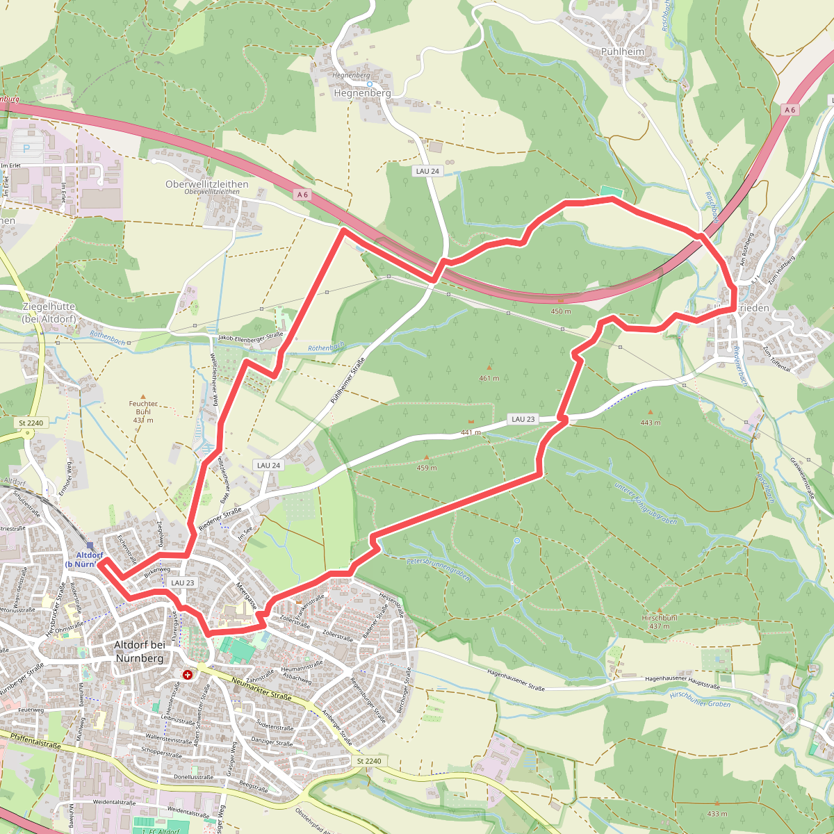
#1. Altdorf
Altdorf bei Nürnberg
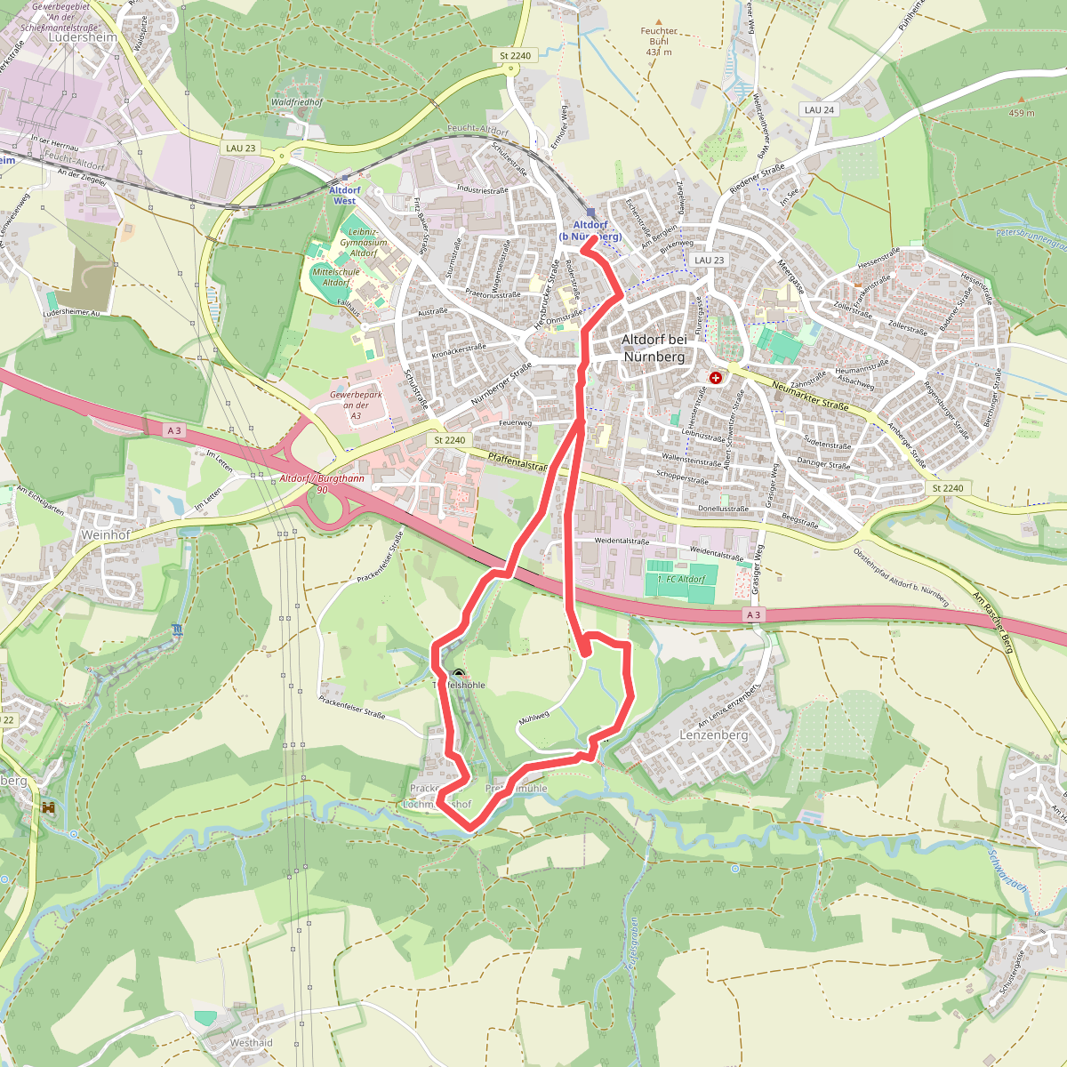
#2. Altdorf 3
Altdorf bei Nürnberg
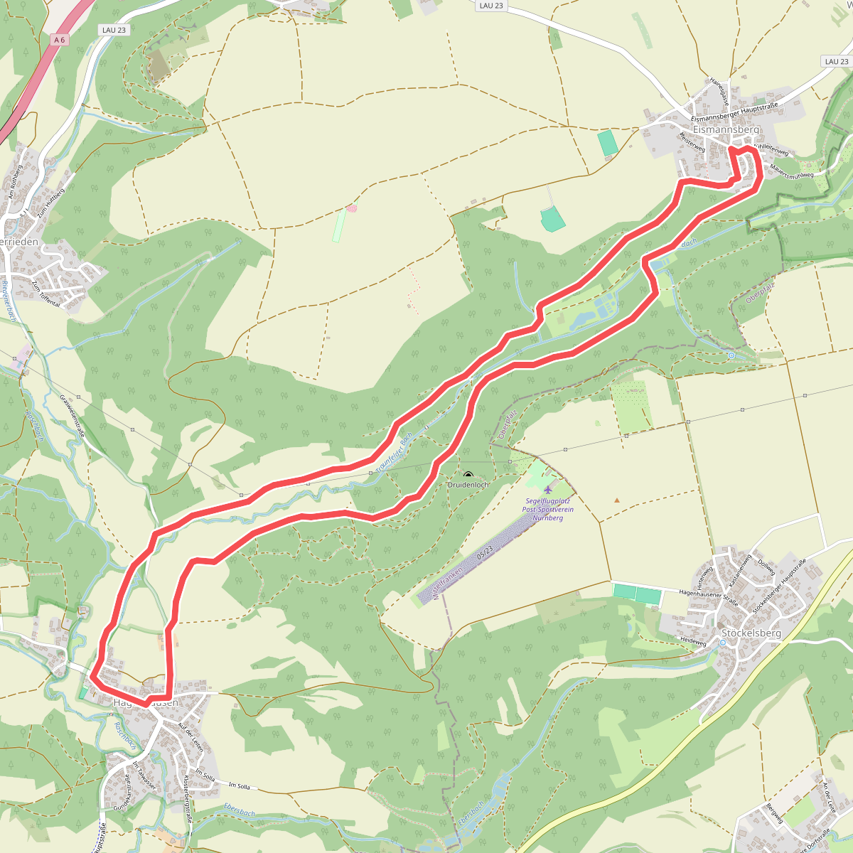
#3. Altdorf 6a
Altdorf bei Nürnberg
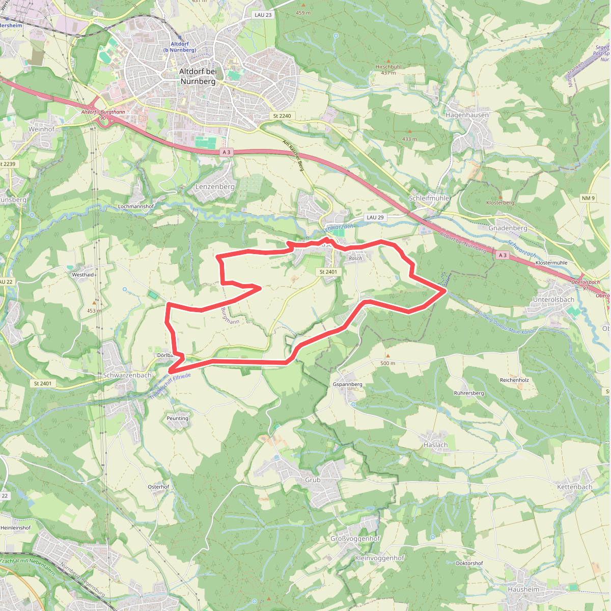
#4. Altdorf 9
Altdorf bei Nürnberg,Berg b.Neumarkt i.d.OPf.,Burgthann
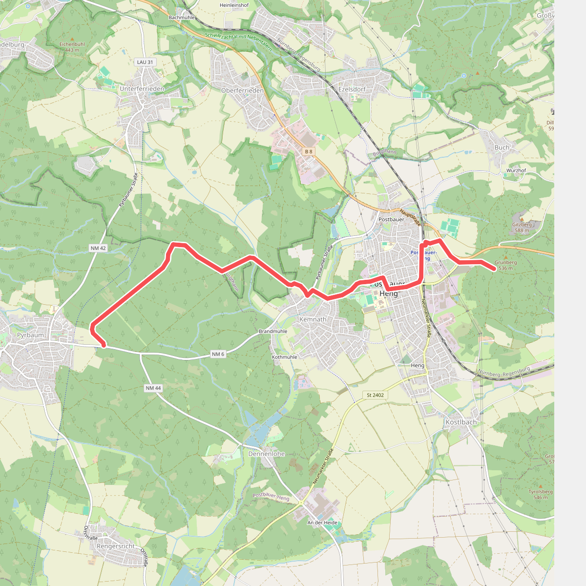
#5. Beerenschlag-Weg
Postbauer-Heng,Burgthann,Pyrbaum
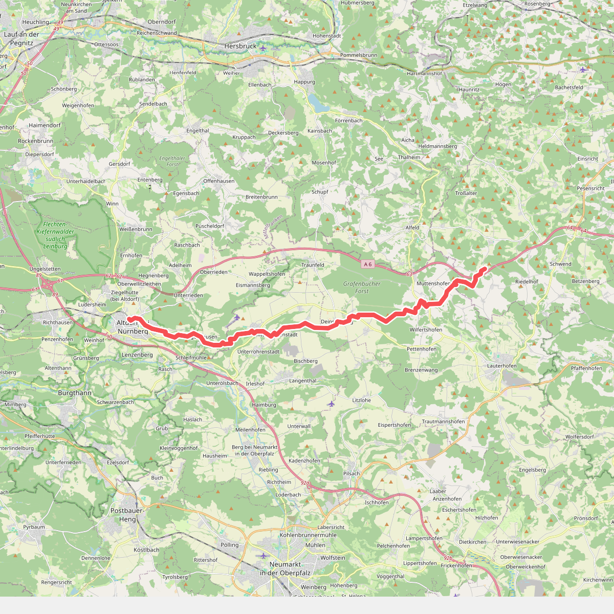
#6. Birglandweg
Altdorf bei Nürnberg,Berg b.Neumarkt i.d.OPf.,Lauterhofen,Birgland
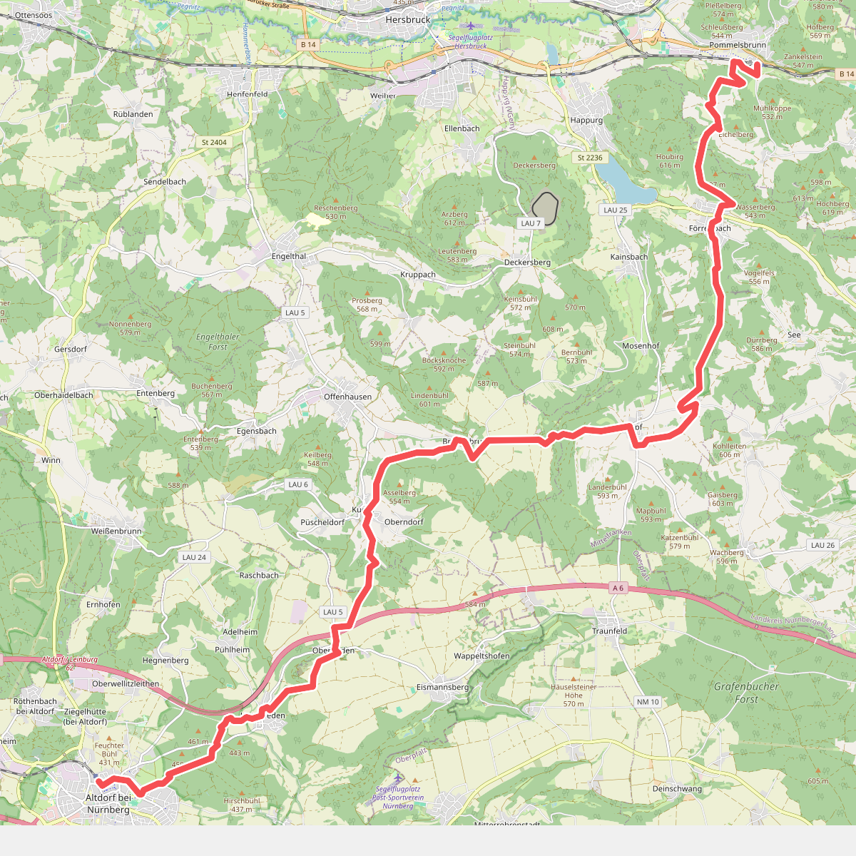
#7. Blaupunkt
Altdorf bei Nürnberg,Offenhausen,Happurg,Pommelsbrunn
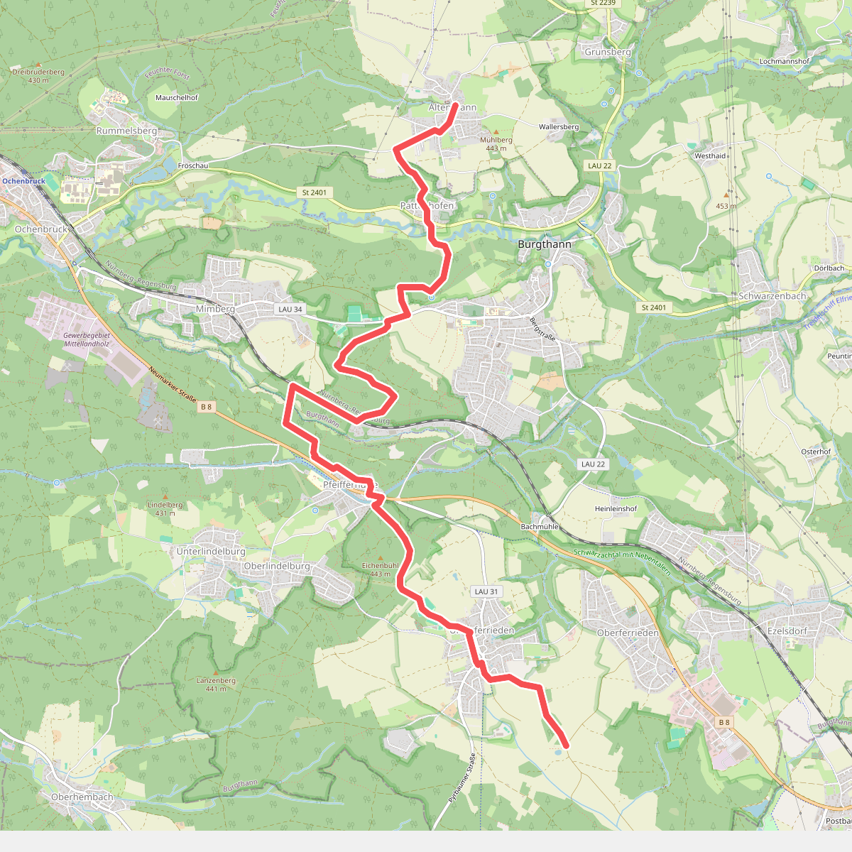
#8. Burgthann
Schwarzenbruck,Burgthann
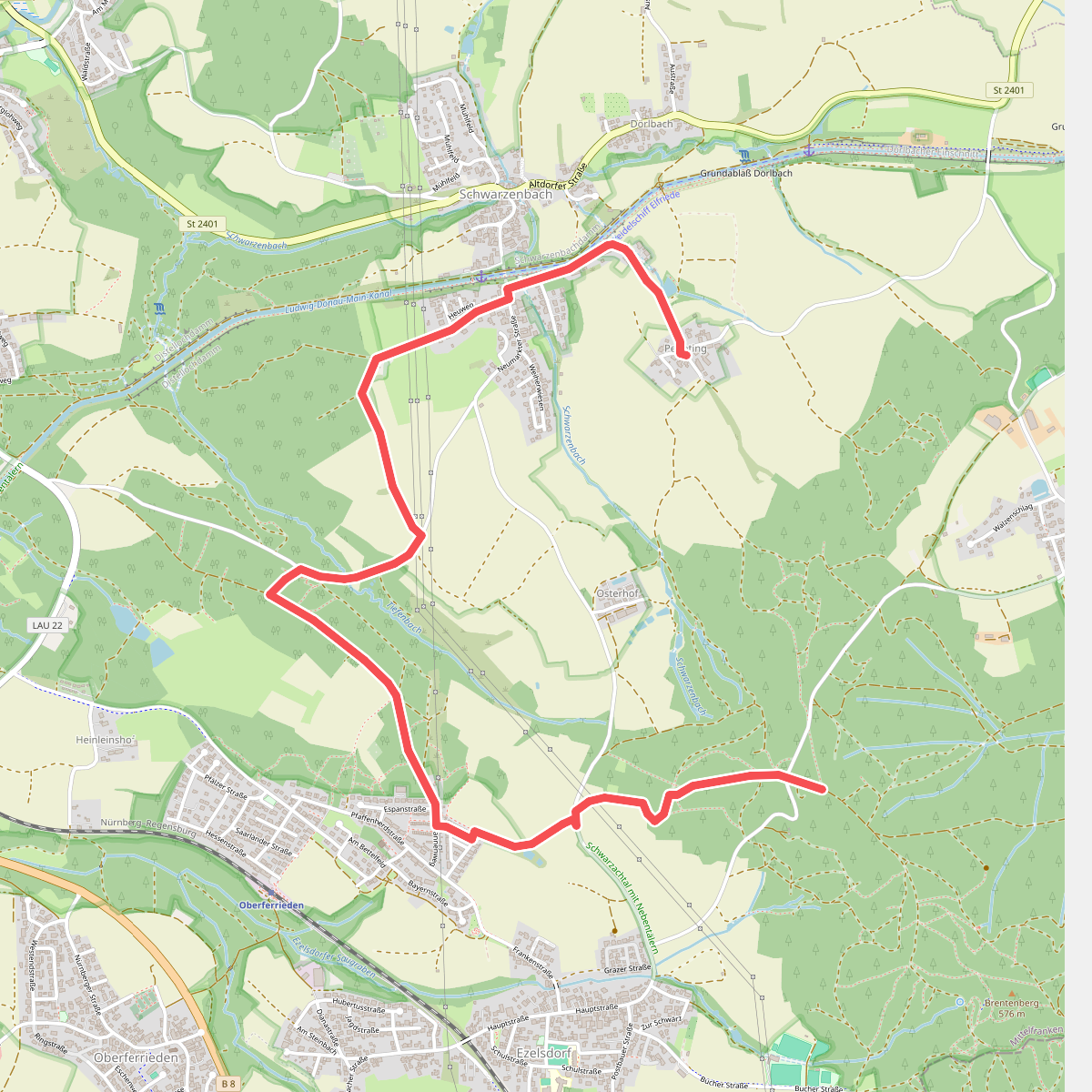
#9. Burgthann
Burgthann
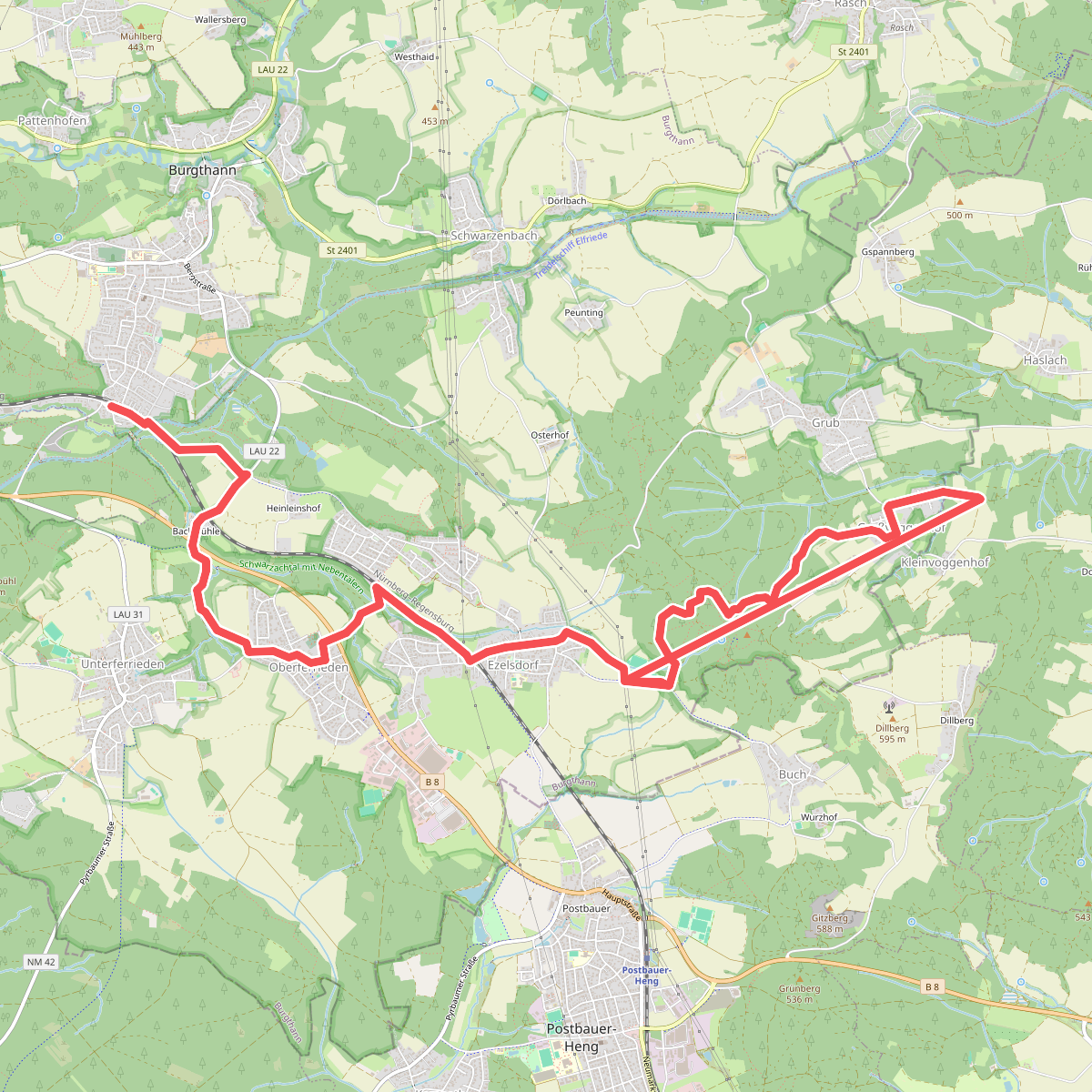
#10. Burgthann 1
Burgthann,Berg b.Neumarkt i.d.OPf.
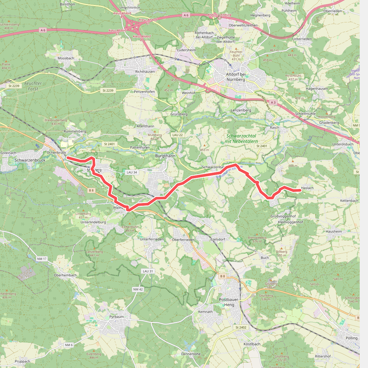
#11. Burgthann 2
Berg b.Neumarkt i.d.OPf.,Burgthann,Schwarzenbruck
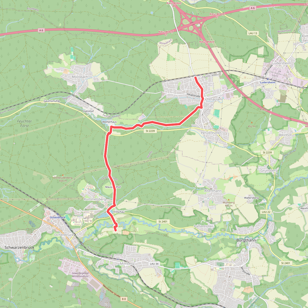
#12. Burgthann 2 blau
Schwarzenbruck,Feuchter Forst,Feucht,Winkelhaid



