The best hiking routes in Schurwaldrand Altbach-Plochingen-Reichenbach
Discover the best walks in Schurwaldrand Altbach-Plochingen-Reichenbach. 1 routes on the map, with descriptions, photos and GPX.
About Schurwaldrand Altbach-Plochingen-Reichenbach
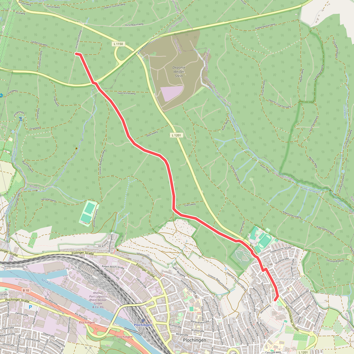
The Schurwaldrand Altbach-Plochingen-Reichenbach covers the steep, forested southern slope where the Schurwald upland drops down to the Neckar and Fils valleys. Walkers here will find a landscape shaped by this sharp transition, characterized by dense deciduous woodland, old orchards, and steep vineyard terraces. Unlike the flat river plains below, this area requires navigating constant elevation changes along the valley flank, offering views over the industrial valley floor through gaps in the tree canopy.
Read more
About Schurwaldrand Altbach-Plochingen-Reichenbach
The Schurwaldrand Altbach-Plochingen-Reichenbach covers the steep, forested southern slope where the Schurwald upland drops down to the Neckar and Fils valleys. Walkers here will find a landscape shaped by this sharp transition, characterized by dense deciduous woodland, old orchards, and steep vineyard terraces. Unlike the flat river plains below, this area requires navigating constant elevation changes along the valley flank, offering views over the industrial valley floor through gaps in the tree canopy.
Read moreThe Schurwaldrand Altbach-Plochingen-Reichenbach covers the steep, forested southern slope where the Schurwald upland drops down to the Neckar and Fils valleys. Walkers here will find a landscape shaped by this sharp transition, characterized by dense deciduous woodland, old orchards, and steep vineyard terraces. Unlike the flat river plains below, this area requires navigating constant elevation changes along the valley flank, offering views over the industrial valley floor through gaps in the tree canopy.
Underfoot, the paths vary between damp clay tracks in the shaded forest ravines and hard, stony paths along the exposed vineyard walls. The geology is visible on the trail, with layers of clay and sandstone exposed by small streams cutting down toward the Neckar. In the wooded sections, beech and oak dominate, while the lower, south-facing slopes are dominated by structured vine rows and small garden plots.
This is a working landscape rather than a wild forest, where forestry tracks and agricultural access roads form the main path network. The lower edges near the towns can be busy with local walkers, while the steeper, interior forest paths are generally quieter. There are no high mountain ridges here, but the constant climbing and descending on clay and gravel tracks provides a strenuous walk through a typical southwestern German hill-edge terrain.