The best hiking routes in Schlei
Discover the best walks in Schlei. 40 routes on the map, with descriptions, photos and GPX.
About Schlei
The Schlei is a narrow, brackish Baltic inlet in northern Germany, characterized by a low-lying, gently rolling landscape shaped by glaciers. Unlike the open sea coast, this area offers a sheltered, river-like environment where quiet bays, reed beds, and small beech woods line the water. Walkers will find a mix of flat shoreline paths, grassy dikes, and dirt tracks that cut through arable fields and pastures. There are no dramatic cliffs or sandy dunes here; instead, the terrain is defined by its soft transitions between water and farmland.
Read more
About Schlei
The Schlei is a narrow, brackish Baltic inlet in northern Germany, characterized by a low-lying, gently rolling landscape shaped by glaciers. Unlike the open sea coast, this area offers a sheltered, river-like environment where quiet bays, reed beds, and small beech woods line the water. Walkers will find a mix of flat shoreline paths, grassy dikes, and dirt tracks that cut through arable fields and pastures. There are no dramatic cliffs or sandy dunes here; instead, the terrain is defined by its soft transitions between water and farmland.
Read moreThe Schlei is a narrow, brackish Baltic inlet in northern Germany, characterized by a low-lying, gently rolling landscape shaped by glaciers. Unlike the open sea coast, this area offers a sheltered, river-like environment where quiet bays, reed beds, and small beech woods line the water. Walkers will find a mix of flat shoreline paths, grassy dikes, and dirt tracks that cut through arable fields and pastures. There are no dramatic cliffs or sandy dunes here; instead, the terrain is defined by its soft transitions between water and farmland.
Underfoot, the paths vary from soft earth and grassy banks along the water to firm gravel and asphalt lanes connecting the small hamlets. Because the water is brackish and tidal movement is minimal, the shoreline remains relatively stable, allowing paths to run close to the water's edge. In May, the landscape is dominated by the bright yellow of flowering rapeseed fields that reach right down to the blue inlets, while late autumn brings bare branches and clear views across the narrow water to the opposite banks.
Choosing where to walk along the Schlei depends on your preference for shoreline or woodland. The outer areas near the mouth feature wider water and sandy spits, while the inner reaches near Schleswig are narrower and feel more like a quiet river valley. The paths are generally easy to navigate, though they can be muddy after rain, making sturdy shoes useful for the unpaved sections.
Hiking routes in Schlei (40)
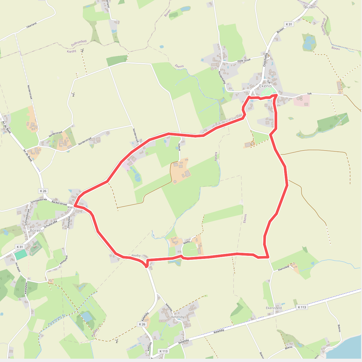
#1. Ekenis-Kiesby-Boren
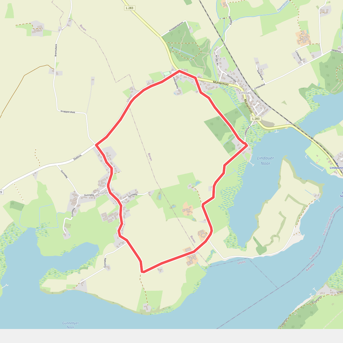
#2. Erholungsort Ulsnis: Rundweg Dallacker, Gunneby
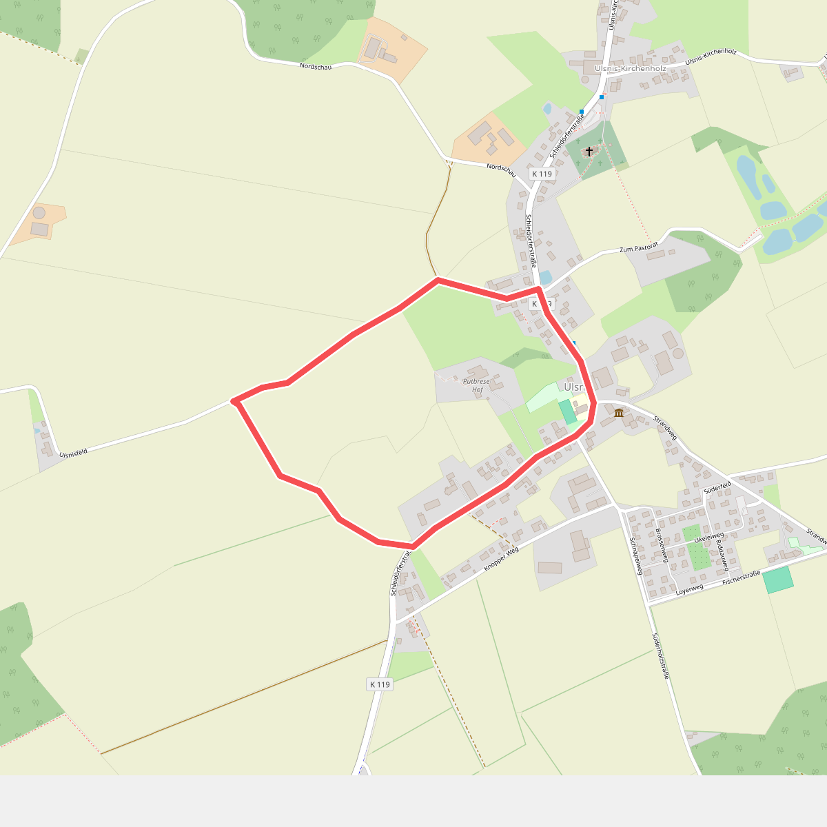
#3. Erholungsort Ulsnis: Rundweg Gallberg
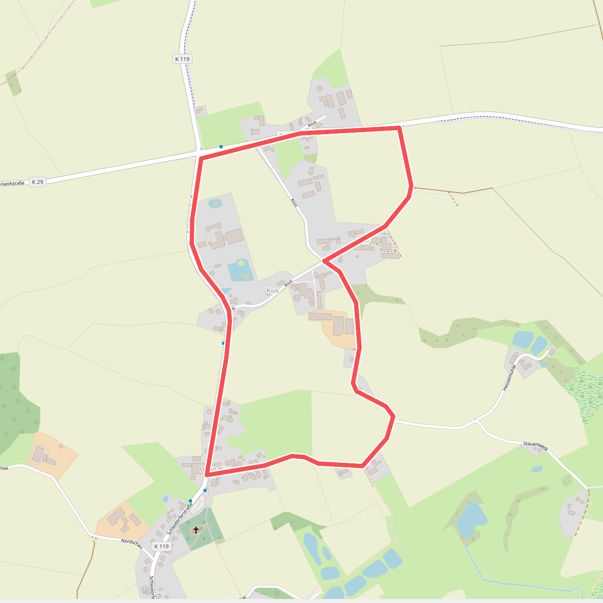
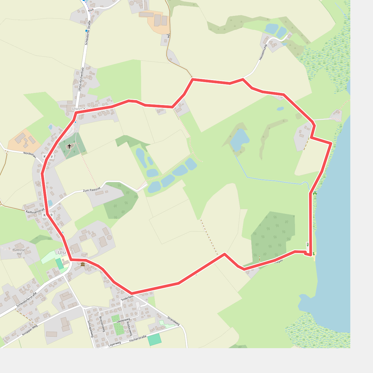
#4. Erholungsort Ulsnis: Rundweg Hesselmühle, Kius
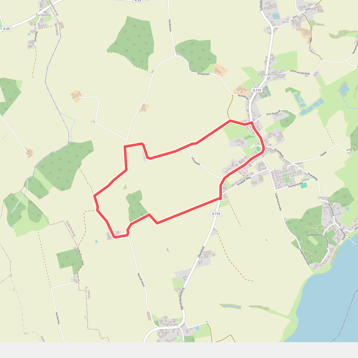
#5. Erholungsort Ulsnis: Rundweg Hestoft-Nord
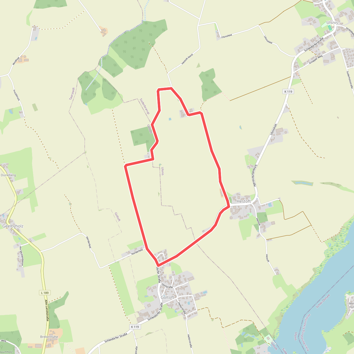
#6. Erholungsort Ulsnis: Rundweg Hestoft-West
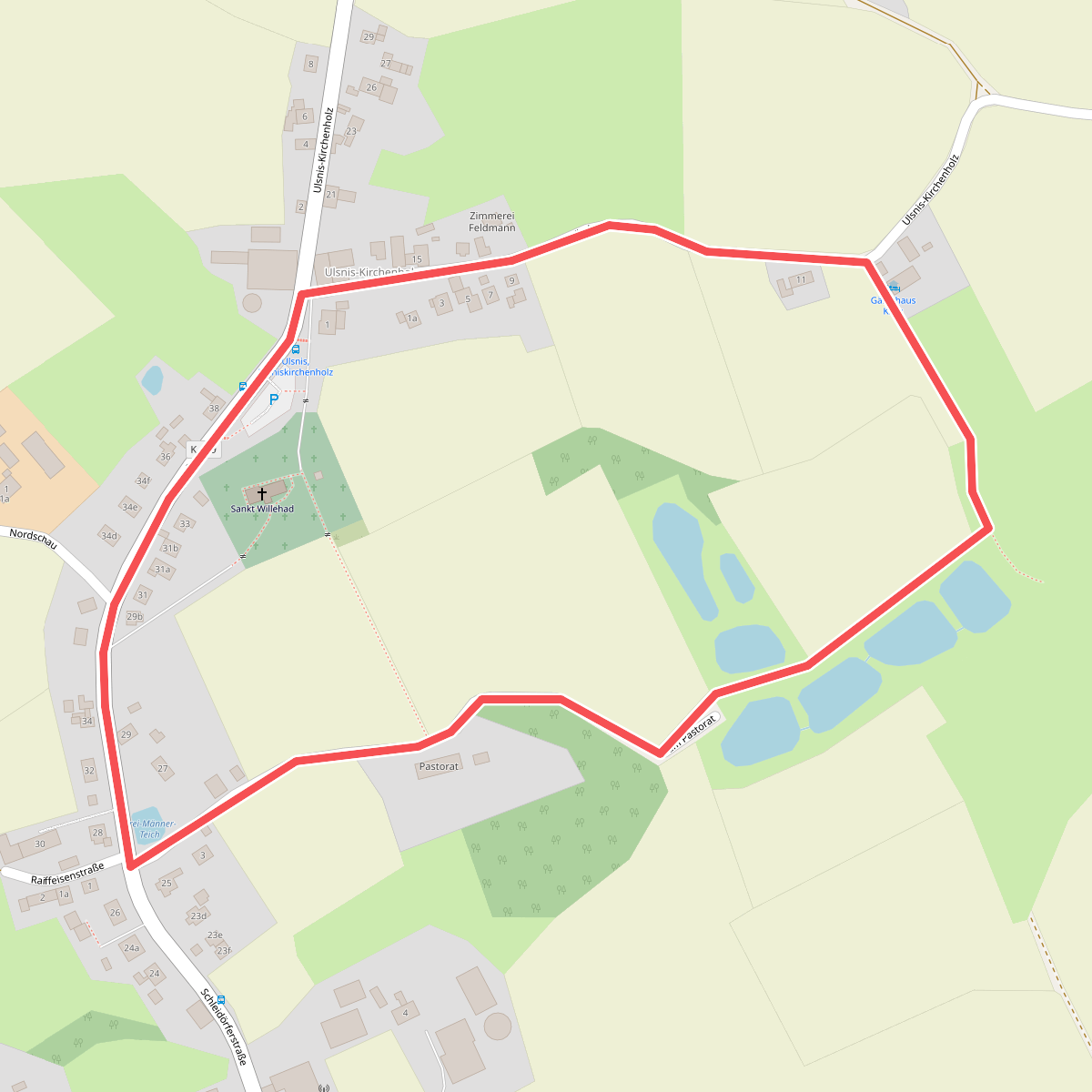
#7. Erholungsort Ulsnis: Rundweg Kirche
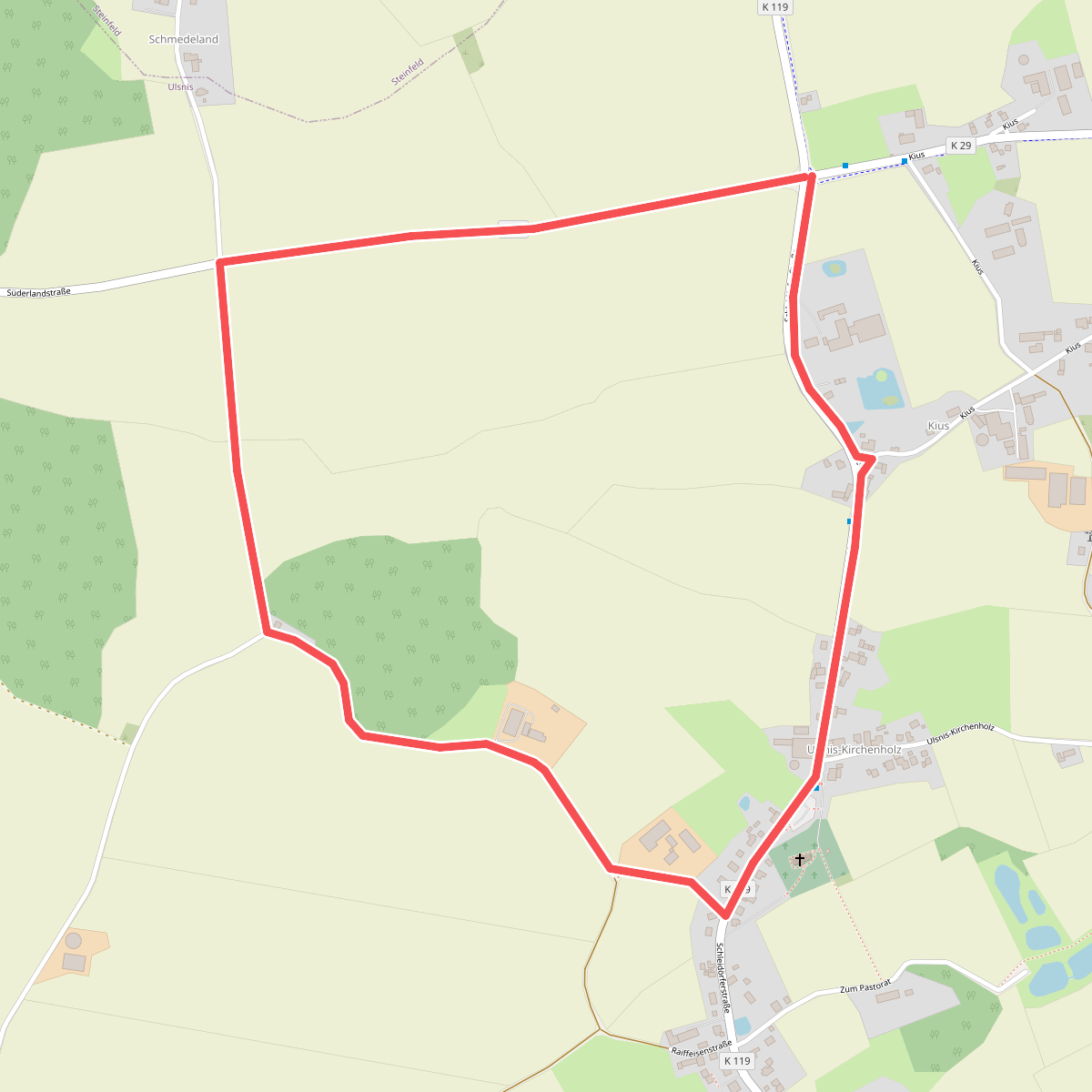
#8. Erholungsort Ulsnis: Rundweg Kirchenholz
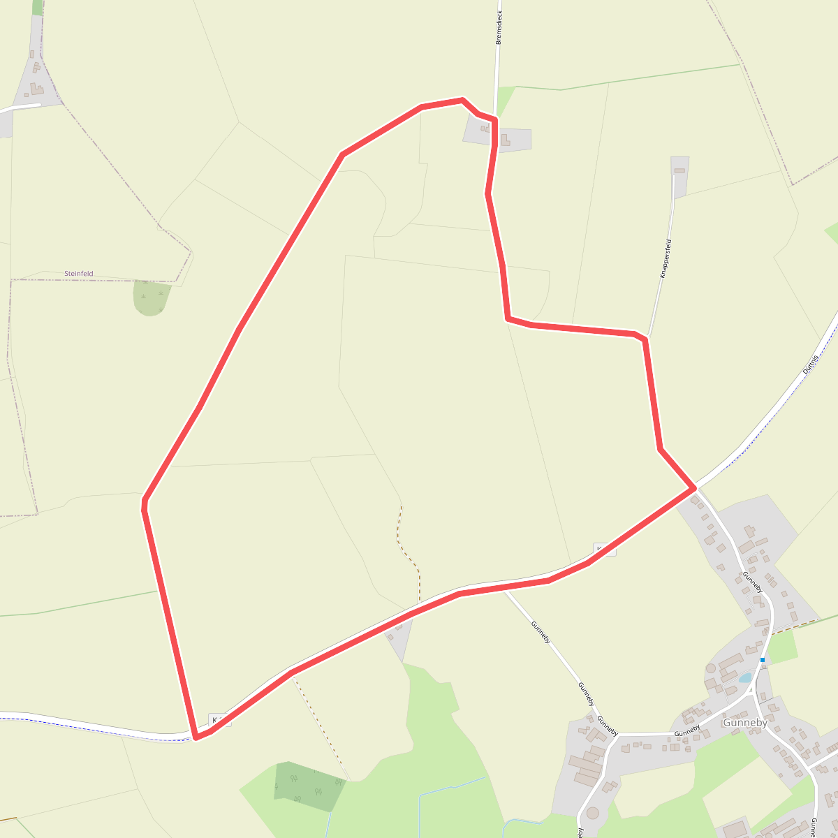
#9. Erholungsort Ulsnis: Rundweg Knappersfeld
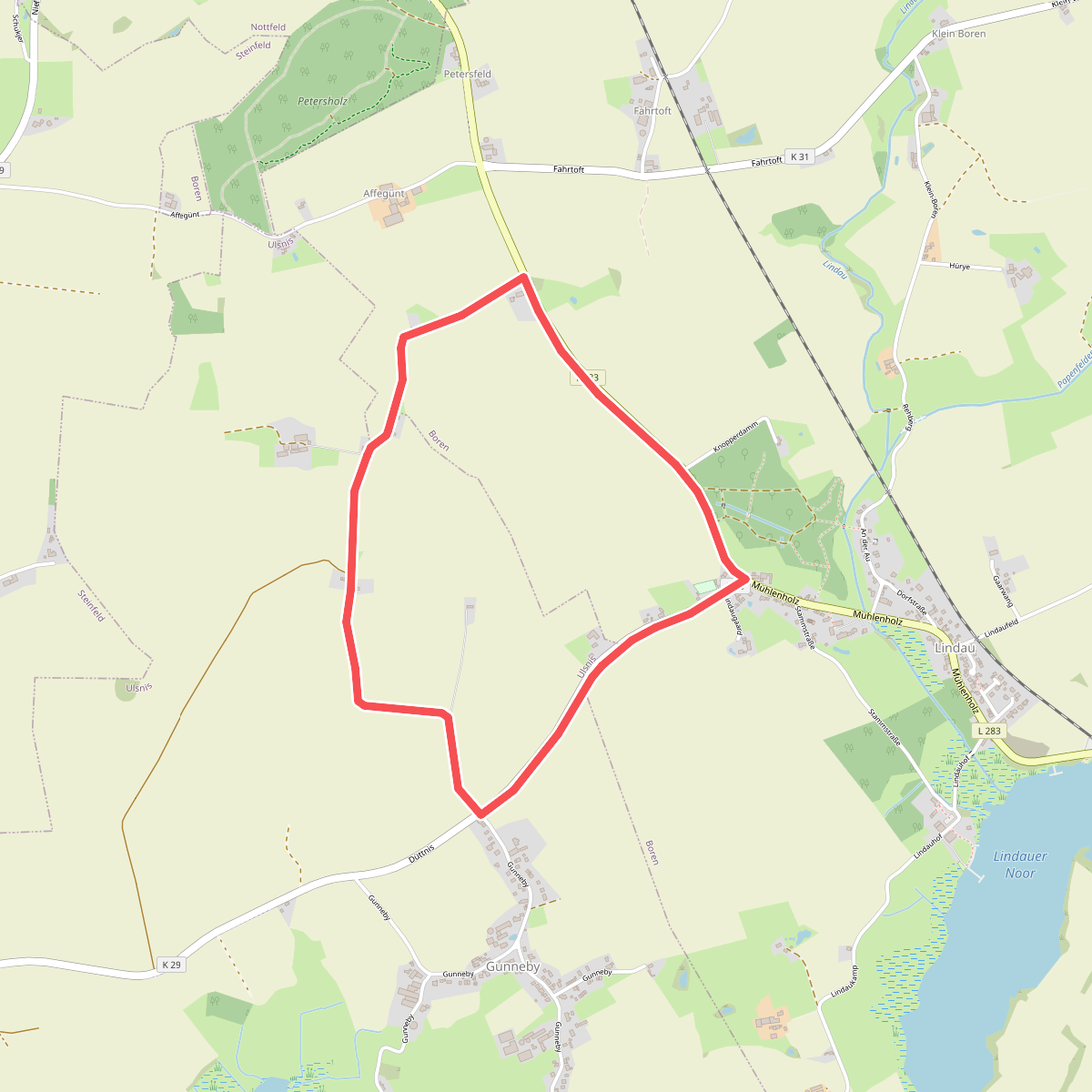
#10. Erholungsort Ulsnis: Rundweg Knappersfeld
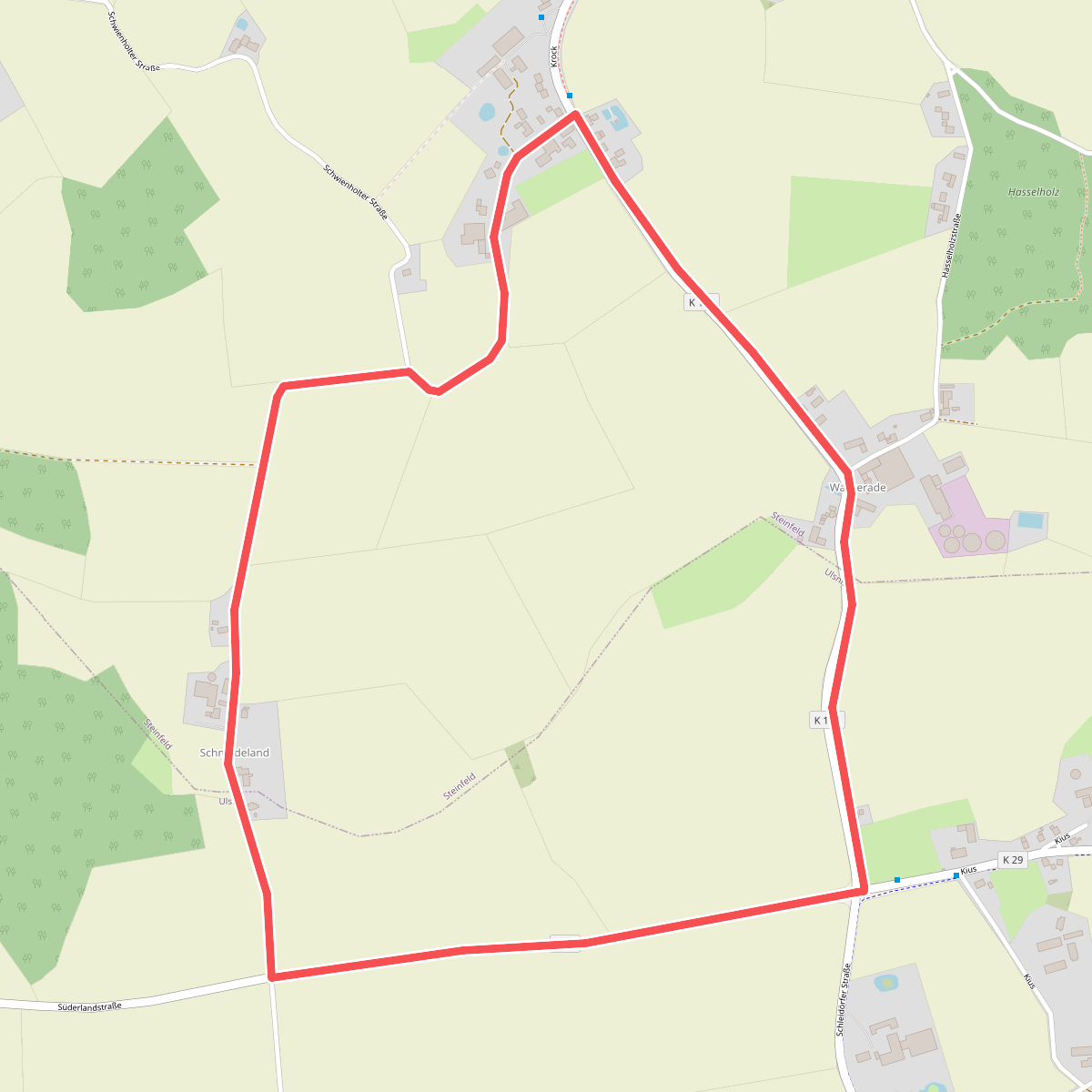
#11. Erholungsort Ulsnis: Rundweg Schmedeland