The best hiking routes in São Mamede
Discover the best walks in São Mamede. 9 routes on the map, with descriptions, photos and GPX.
Managed by Instituto da Conservação da Natureza e das Florestas
About São Mamede
The Serra de São Mamede rises as a distinct quartz ridge above the surrounding Alentejo plains, presenting a landscape that is significantly greener and more rugged than the dry lowlands nearby. Walkers here encounter a transition from Mediterranean cork oak woodlands on the lower slopes to dense chestnut groves and granite boulder fields at higher elevations. The terrain is defined by these steep, rocky inclines and narrow, shaded valleys, offering a physical challenge without reaching alpine heights.
Read more
About São Mamede
The Serra de São Mamede rises as a distinct quartz ridge above the surrounding Alentejo plains, presenting a landscape that is significantly greener and more rugged than the dry lowlands nearby. Walkers here encounter a transition from Mediterranean cork oak woodlands on the lower slopes to dense chestnut groves and granite boulder fields at higher elevations. The terrain is defined by these steep, rocky inclines and narrow, shaded valleys, offering a physical challenge without reaching alpine heights.
Read moreThe Serra de São Mamede rises as a distinct quartz ridge above the surrounding Alentejo plains, presenting a landscape that is significantly greener and more rugged than the dry lowlands nearby. Walkers here encounter a transition from Mediterranean cork oak woodlands on the lower slopes to dense chestnut groves and granite boulder fields at higher elevations. The terrain is defined by these steep, rocky inclines and narrow, shaded valleys, offering a physical challenge without reaching alpine heights.
Underfoot, the paths vary from ancient stone-paved medieval tracks to rough, loose gravel and dirt trails that wind through terraced agricultural plots. Water is a constant presence in the northern sections, where small streams feed lush riparian vegetation, contrasting sharply with the exposed, sun-baked crags of the summits. This moisture supports a microclimate where Atlantic and Mediterranean plant species grow side by side, a feature you will notice as the dry scrub suddenly gives way to ferns and moss-covered rocks.
In spring, particularly during April and May, the lower slopes are marked by flowering rockrose and wild lavender, while the higher granite zones remain stark and exposed. The area is generally quiet, though the trails closest to the town of Marvão and the highest peak of São Mamede see more foot traffic. Walkers should expect sustained climbs on uneven ground rather than flat, easy strolls.
Hiking routes in São Mamede (9)
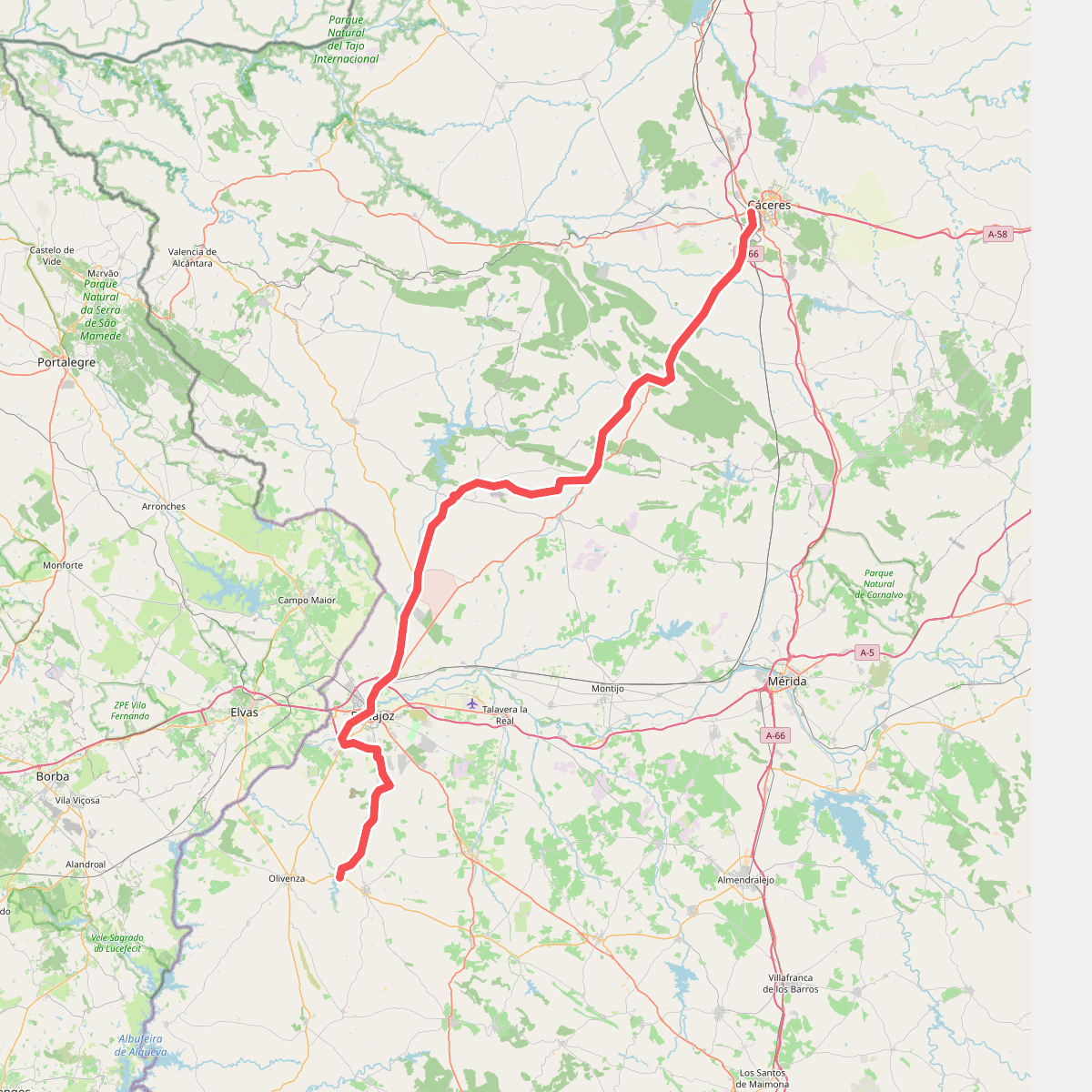
#1. Camino Natural Corredor Cáceres-Badajoz. Ruta Cáceres-Badajoz-Embalse de Piedra Aguda
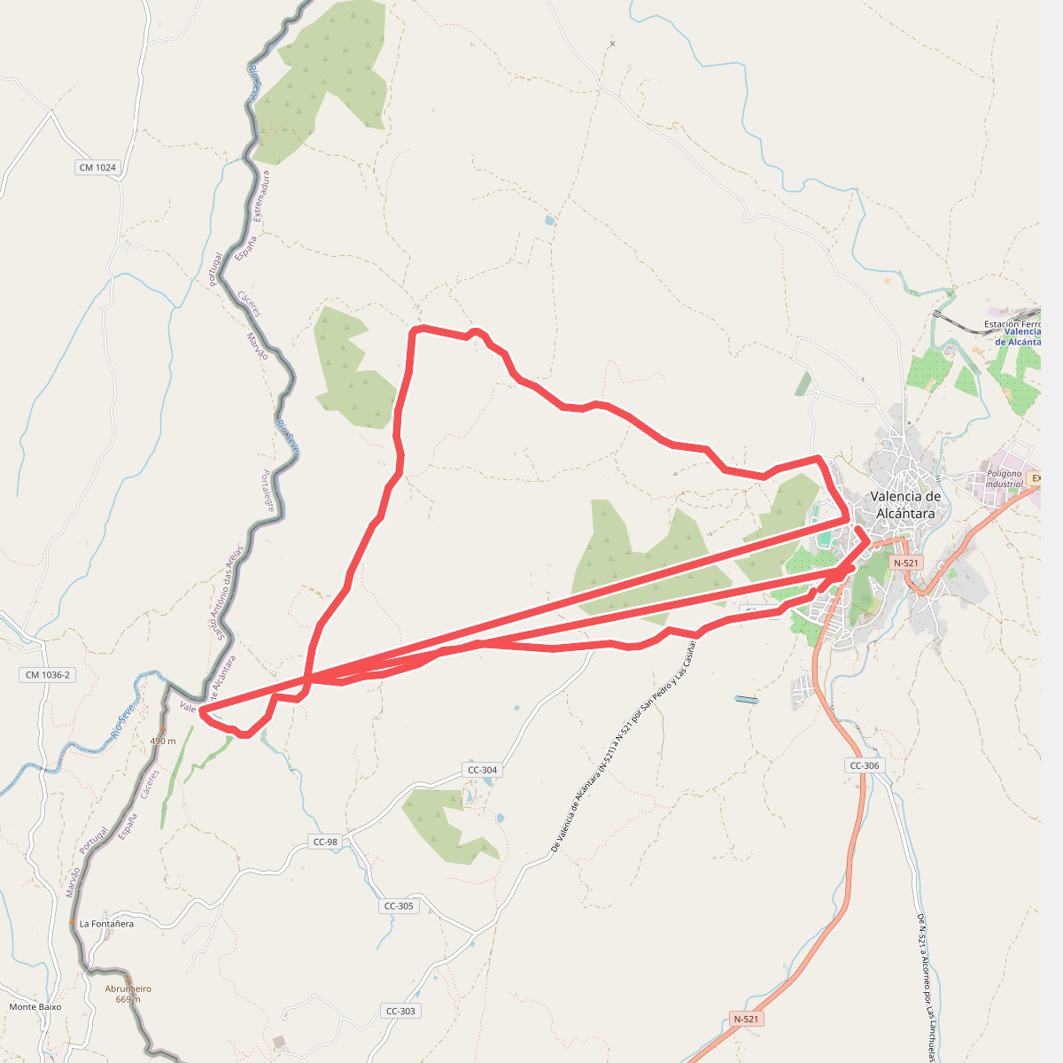
#2. Molino de La Negra
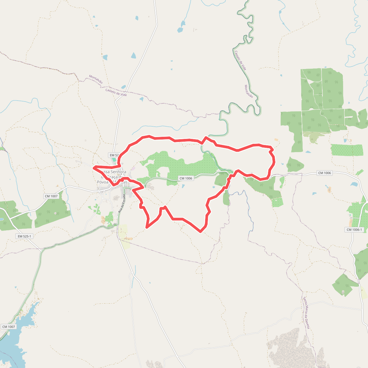
#3. Paisagens Fantásticas de Póvoa e Meadas
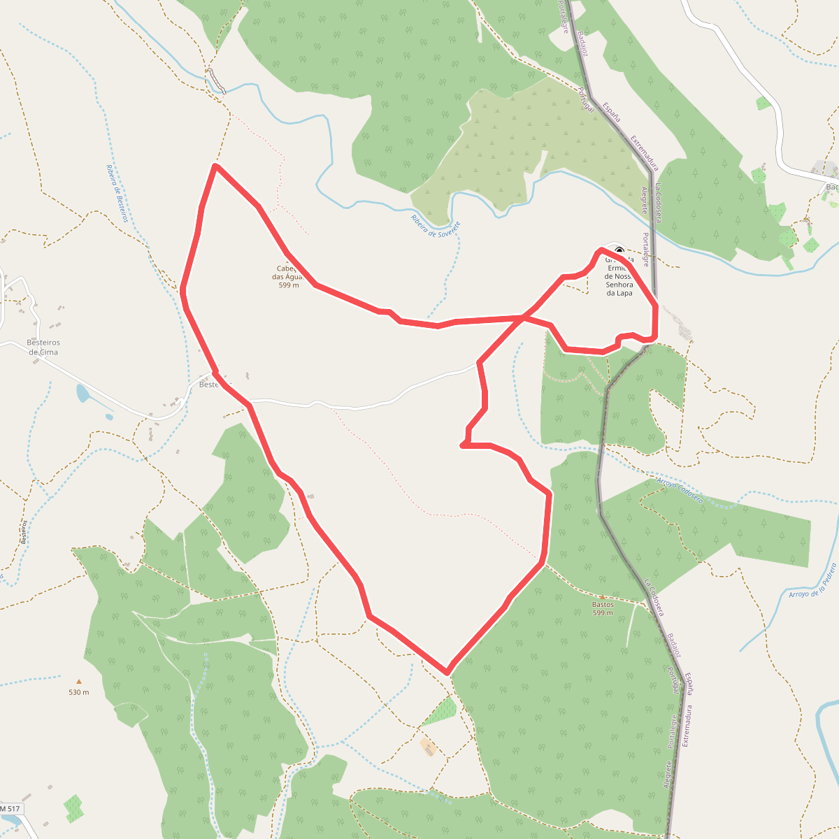
#4. Percurso da Senhora da Lapa
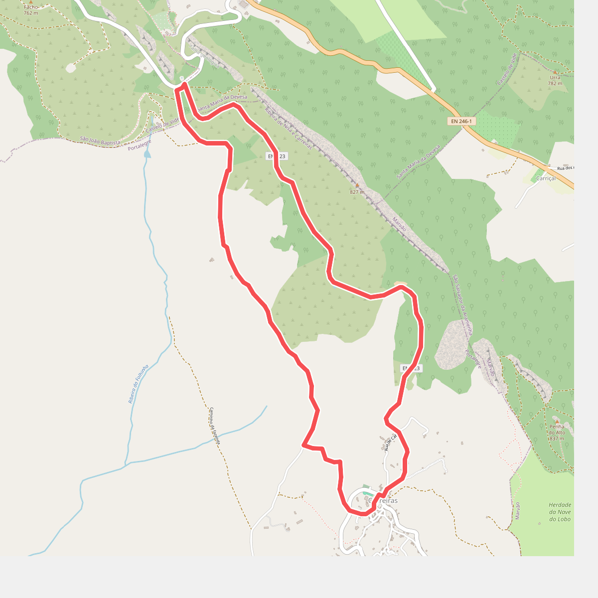
#5. Percurso Pedestre das Carreiras
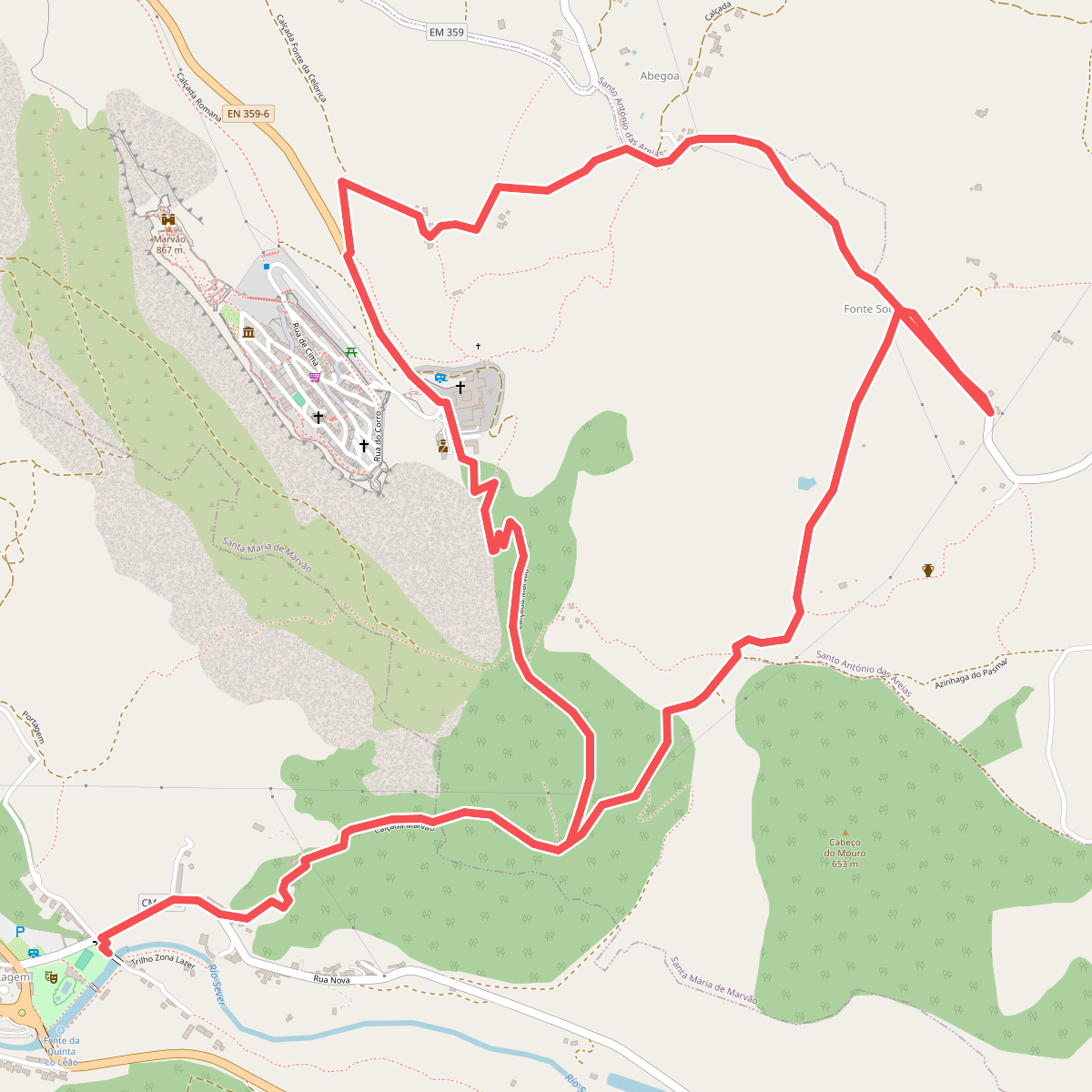
#6. Percurso Pedestre de Marvão
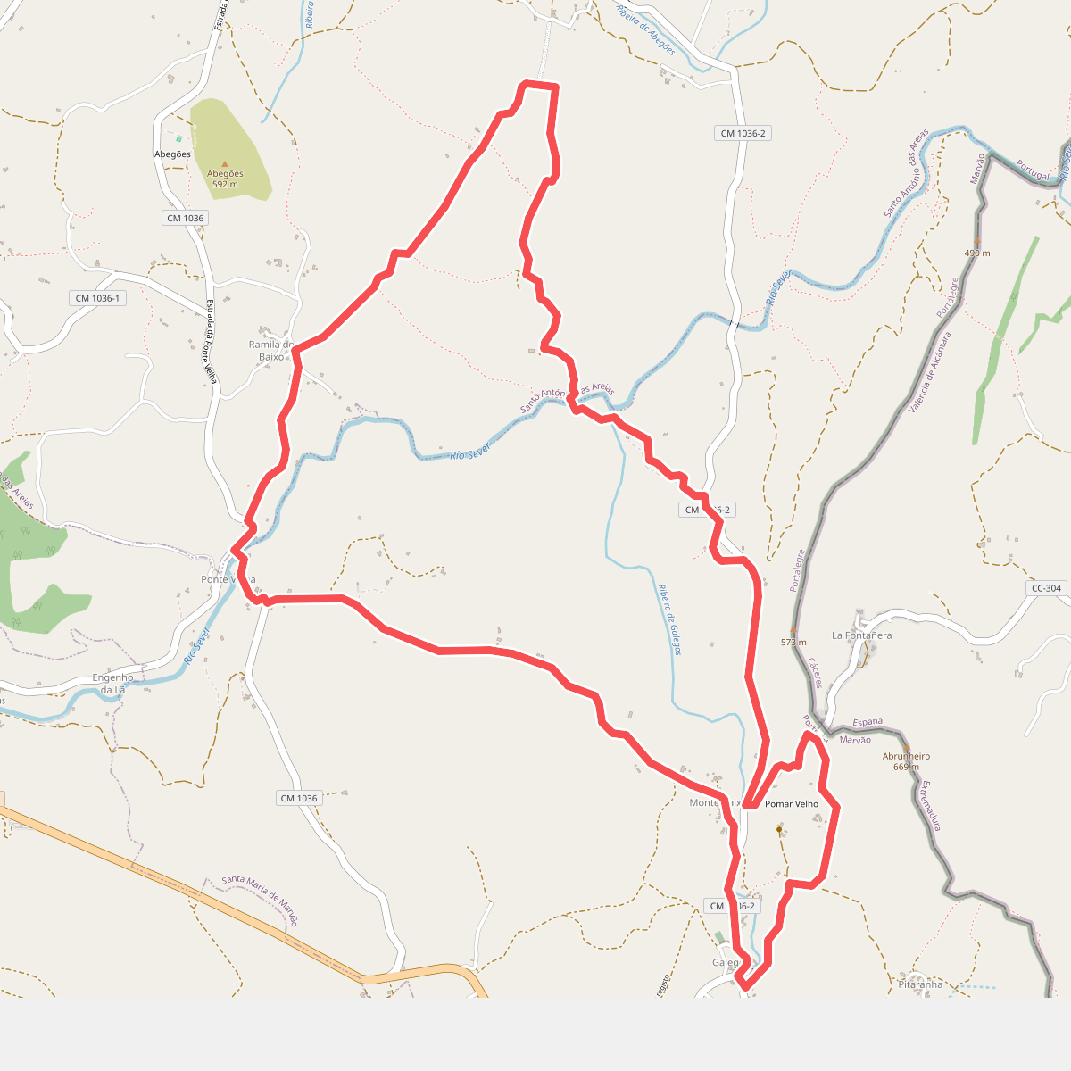
#7. Percurso Pedestre dos Galegos
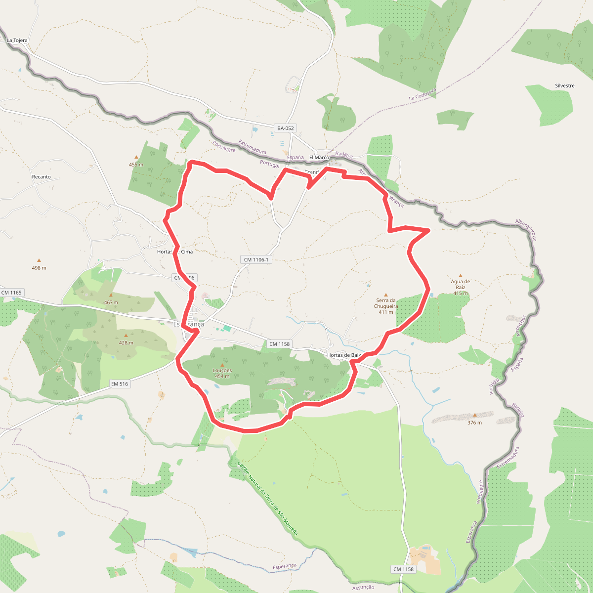
#8. PR1 - Percurso Pedestre da Esperança