The best hiking routes in Saltfjellet-Svartisen nasjonalpark
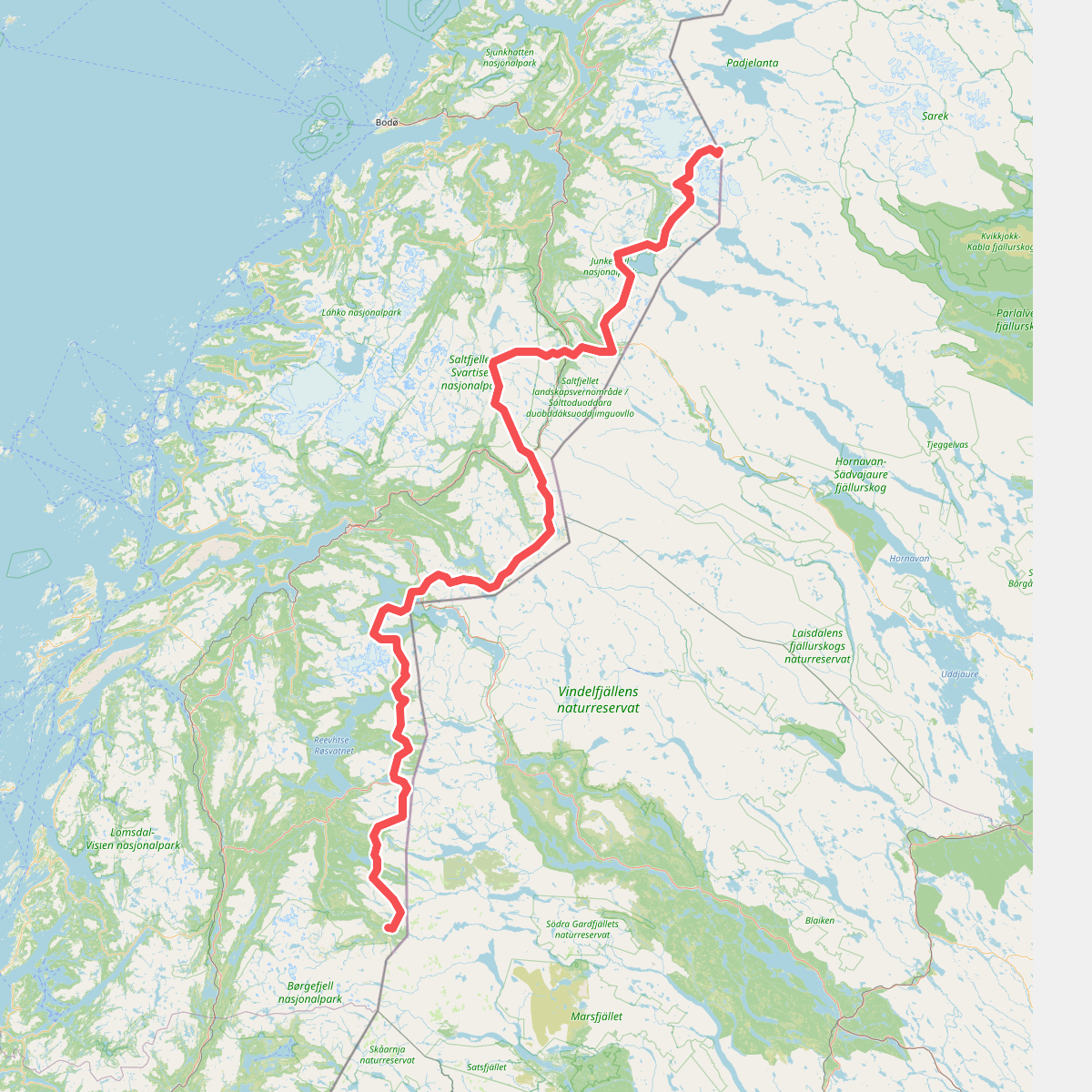
Discover the best walks in Saltfjellet-Svartisen nasjonalpark. 1 routes on the map, with descriptions, photos and GPX.
Managed by Midtre Nordland nasjonalparkstyre
About Saltfjellet-Svartisen nasjonalpark
Saltfjellet-Svartisen nasjonalpark is defined by its stark division between the massive, ice-carved plateau of the Saltfjellet mountain range in the east and the heavy glaciation of Svartisen in the west. Walkers will find that the eastern valleys, such as Stormdalen and Blesåvassdalen, present a landscape of birch forests, limestone caves, and lush subalpine vegetation. In contrast, the western sections are dominated by bare, polished granite slabs, steep fjordsides, and the immediate presence of active glacier tongues that reach down toward coastal lakes.
Read more
About Saltfjellet-Svartisen nasjonalpark
Saltfjellet-Svartisen nasjonalpark is defined by its stark division between the massive, ice-carved plateau of the Saltfjellet mountain range in the east and the heavy glaciation of Svartisen in the west. Walkers will find that the eastern valleys, such as Stormdalen and Blesåvassdalen, present a landscape of birch forests, limestone caves, and lush subalpine vegetation. In contrast, the western sections are dominated by bare, polished granite slabs, steep fjordsides, and the immediate presence of active glacier tongues that reach down toward coastal lakes.
Read moreSaltfjellet-Svartisen nasjonalpark is defined by its stark division between the massive, ice-carved plateau of the Saltfjellet mountain range in the east and the heavy glaciation of Svartisen in the west. Walkers will find that the eastern valleys, such as Stormdalen and Blesåvassdalen, present a landscape of birch forests, limestone caves, and lush subalpine vegetation. In contrast, the western sections are dominated by bare, polished granite slabs, steep fjordsides, and the immediate presence of active glacier tongues that reach down toward coastal lakes.
Underfoot, the terrain varies significantly depending on your choice of route. The main trail network through the eastern valleys relies on natural soil paths, sections of peat that are often bridged by wooden boardwalks, and rocky moraine ridges. In the high alpine zones and near the glacier margins, marked paths give way to cairned routes over exposed bedrock and loose scree, requiring careful navigation and steady footing on slippery, wet stone.
This is a landscape of scale rather than sharp alpine peaks, characterized by wide, U-shaped valleys and vast, undulating plateaus. While the historic telegraph trail across Saltfjellet offers a relatively straightforward route with established mountain cabins, the glaciated western areas demand self-reliance and glacier-crossing experience if you step off the marked valley tracks. By August, the snow bridge crossings have mostly melted, revealing the true complexity of the meltwater streams that cut through the bare rock.