

The best hiking routes in Sächsische Schweiz
Discover the best walks in Sächsische Schweiz. 77 routes on the map, with descriptions, photos and GPX.
About Sächsische Schweiz
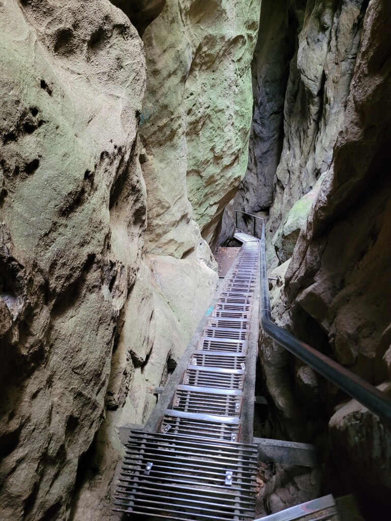
Sächsische Schweiz is characterized by its dramatic sandstone formations, which rise abruptly from the surrounding pine forests and deep, narrow gorges. Walking here means navigating a vertical landscape where the underfoot conditions change constantly. You will transition from wide, packed-dirt forest tracks in the valleys to steep, metal staircases, ladders, and exposed stone ledges secured by iron railings as you ascend the mesas. The rock faces are highly weathered, showing deep horizontal fissures and honeycomb patterns caused by wind and water erosion over millions of years.
Read more
About Sächsische Schweiz
Sächsische Schweiz is characterized by its dramatic sandstone formations, which rise abruptly from the surrounding pine forests and deep, narrow gorges. Walking here means navigating a vertical landscape where the underfoot conditions change constantly. You will transition from wide, packed-dirt forest tracks in the valleys to steep, metal staircases, ladders, and exposed stone ledges secured by iron railings as you ascend the mesas. The rock faces are highly weathered, showing deep horizontal fissures and honeycomb patterns caused by wind and water erosion over millions of years.
Read moreSächsische Schweiz is characterized by its dramatic sandstone formations, which rise abruptly from the surrounding pine forests and deep, narrow gorges. Walking here means navigating a vertical landscape where the underfoot conditions change constantly. You will transition from wide, packed-dirt forest tracks in the valleys to steep, metal staircases, ladders, and exposed stone ledges secured by iron railings as you ascend the mesas. The rock faces are highly weathered, showing deep horizontal fissures and honeycomb patterns caused by wind and water erosion over millions of years.
The area is split into distinct zones. The lower valley floors are cool, damp, and shaded, often filled with ferns and mosses growing on damp sandstone blocks. In contrast, the flat tops of the mesas, known locally as Tafelberge, are dry and exposed, supporting sparse birch and pine trees. While some popular viewpoints like the Bastei bridge feature paved paths and heavy concrete steps, the quieter backcountry trails require scrambling over bare, uneven rock surfaces that can be slippery when covered in pine needles or damp sand.
This is not a region of rolling hills or gentle grassy slopes, but rather a labyrinth of deep ravines and sheer cliffs. Navigating the trail network requires careful attention to trail markers, as the dense network of cracks in the stone can make route-finding confusing. In October, the beech forests in the deeper valleys turn a bright yellow, contrasting sharply with the dark green of the pines and the grey of the sandstone walls.
Hiking routes in Sächsische Schweiz (77)
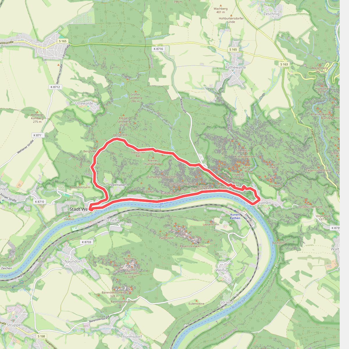
#1. Basteirundweg
Rathen,Wehlen,Lohmen
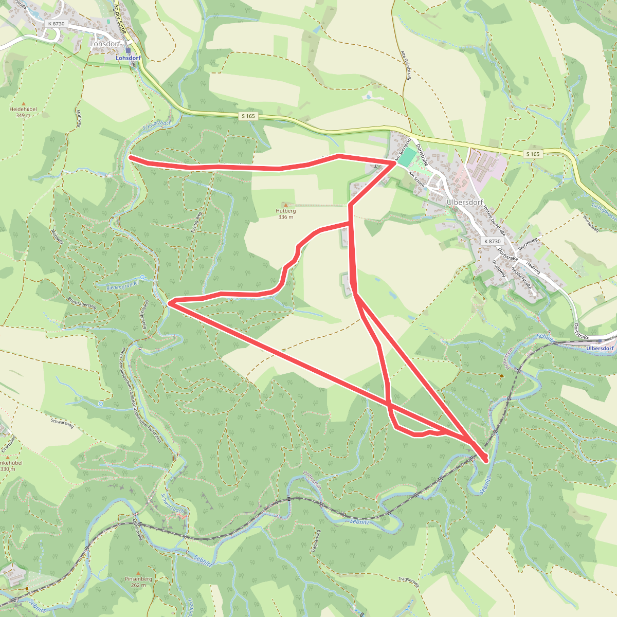
#2. Blauer Strich
Hohnstein
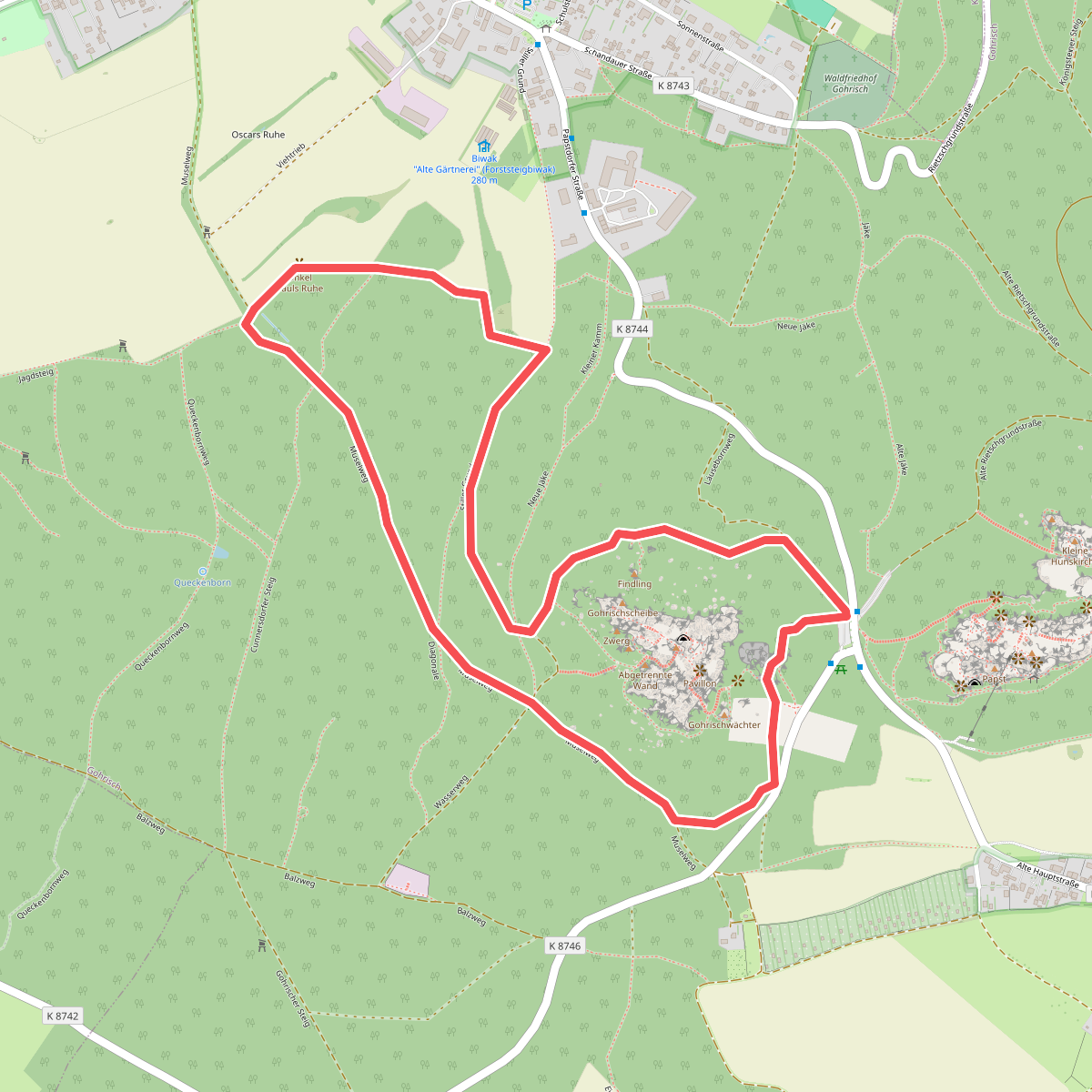
#3. Bodenlehrpfad Sächsische Schweiz
Gohrisch
![[Č] Hřensko (nábřeží) - Děčín (nemocnice)](https://wandelweb.fsn1.your-objectstorage.com/tracks/static-maps/37251-1779134972-large.png)
#4. [Č] Hřensko (nábřeží) - Děčín (nemocnice)
Hřensko,Děčín,Ludvíkovice,Arnoltice,Labská Stráň
![[Č] Hřensko (nábřeží) - Mezní louka](https://wandelweb.fsn1.your-objectstorage.com/tracks/static-maps/37676-1779135141-large.png)
#5. [Č] Hřensko (nábřeží) - Mezní louka
Hřensko
![[Č] Klínovec – Ostrov](https://wandelweb.fsn1.your-objectstorage.com/tracks/static-maps/43165-1779140016-large.png)
#6. [Č] Klínovec – Ostrov
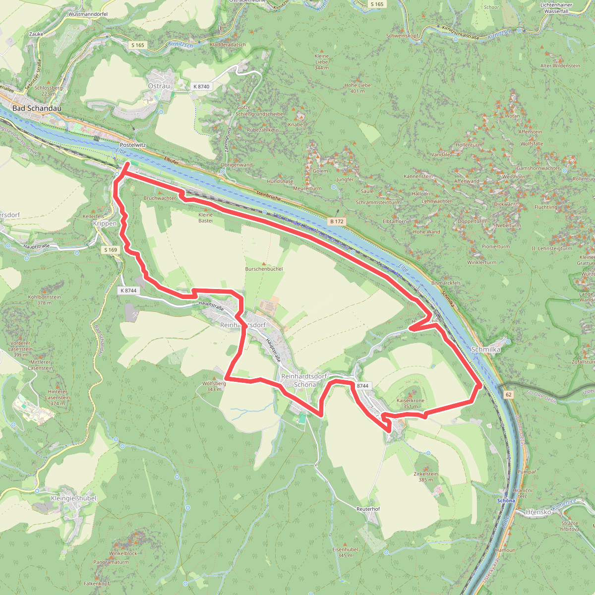
#7. Caspar-David-Friedrich-Weg
Bad Schandau,Reinhardtsdorf-Schöna
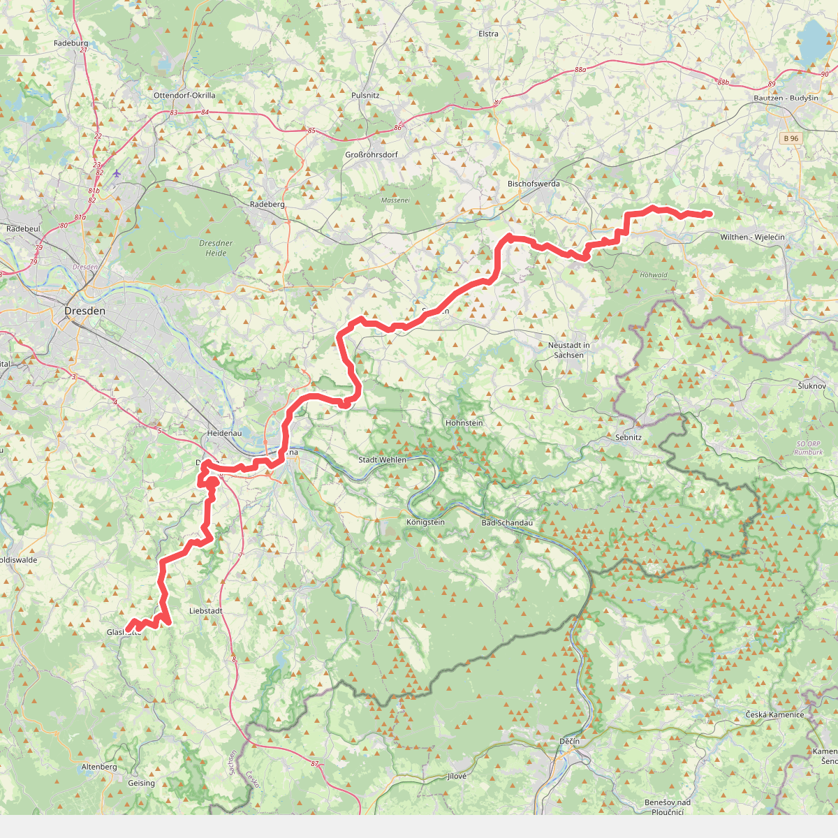
#8. Fernwanderweg Görlitz – Greiz (Teil: Großer Picho – Glashütte)
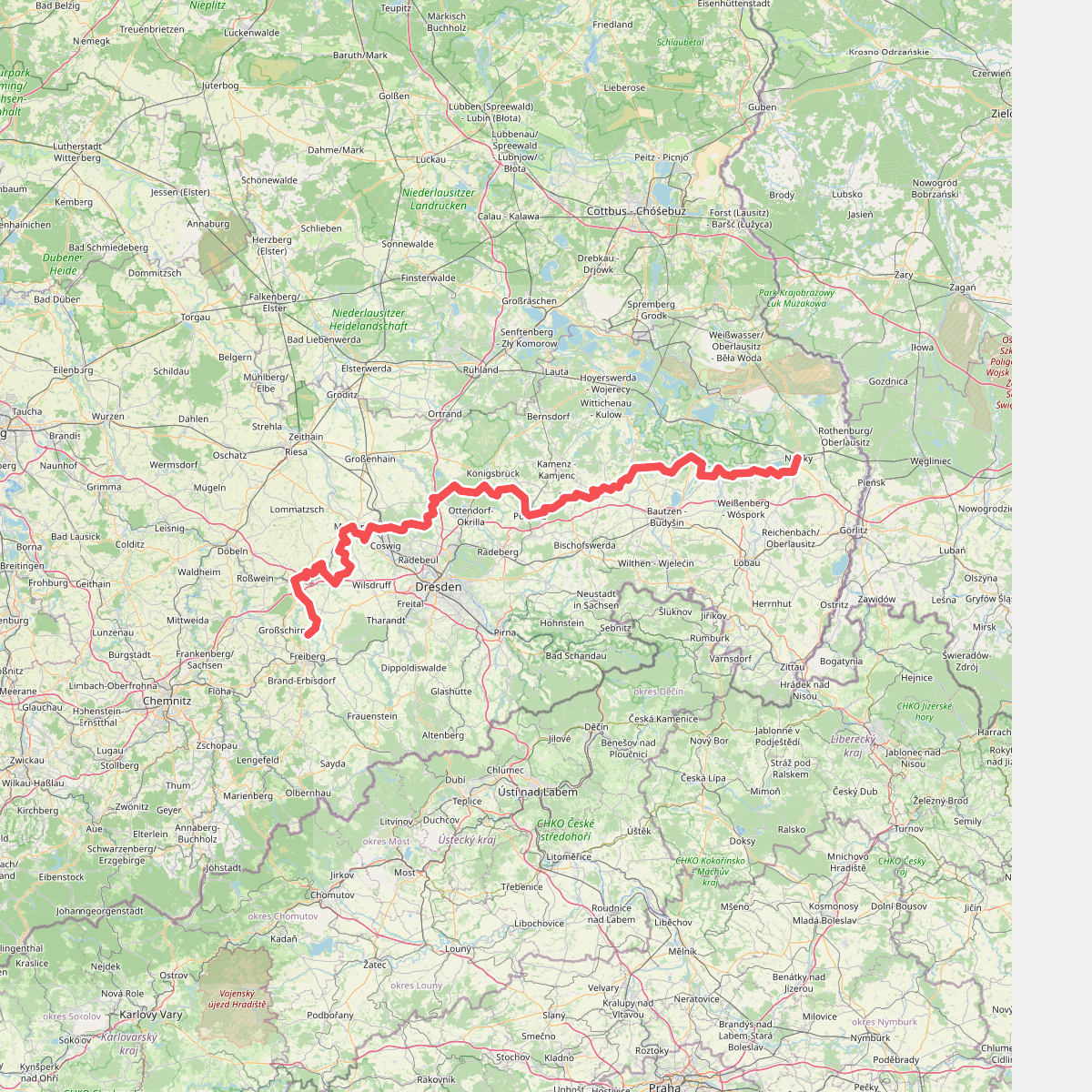
#9. Fernwanderweg Ostsee–Saaletalsperren (Abschnitt Niesky – Freiberg)
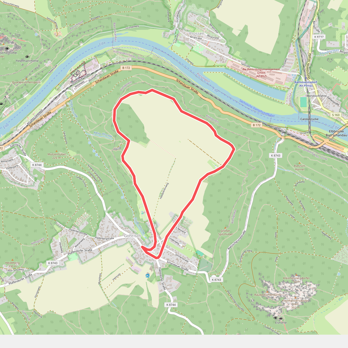
#10. Folgen Rundweg
Gohrisch
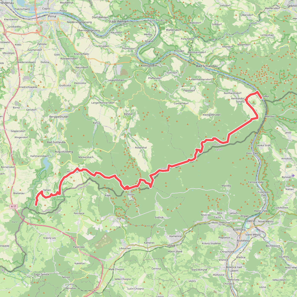
#11. Gelber Balken
Bad Gottleuba-Berggießhübel,Rosenthal-Bielatal,Gohrisch,Reinhardtsdorf-Schöna
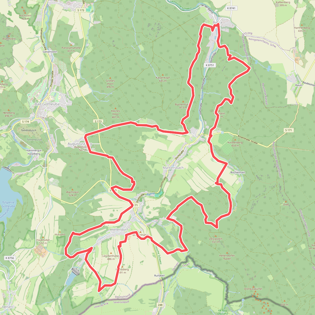
#12. Gelber Punkt Bahratal
Bad Gottleuba-Berggießhübel



