The best hiking routes in Rohkunborri nasjonalpark
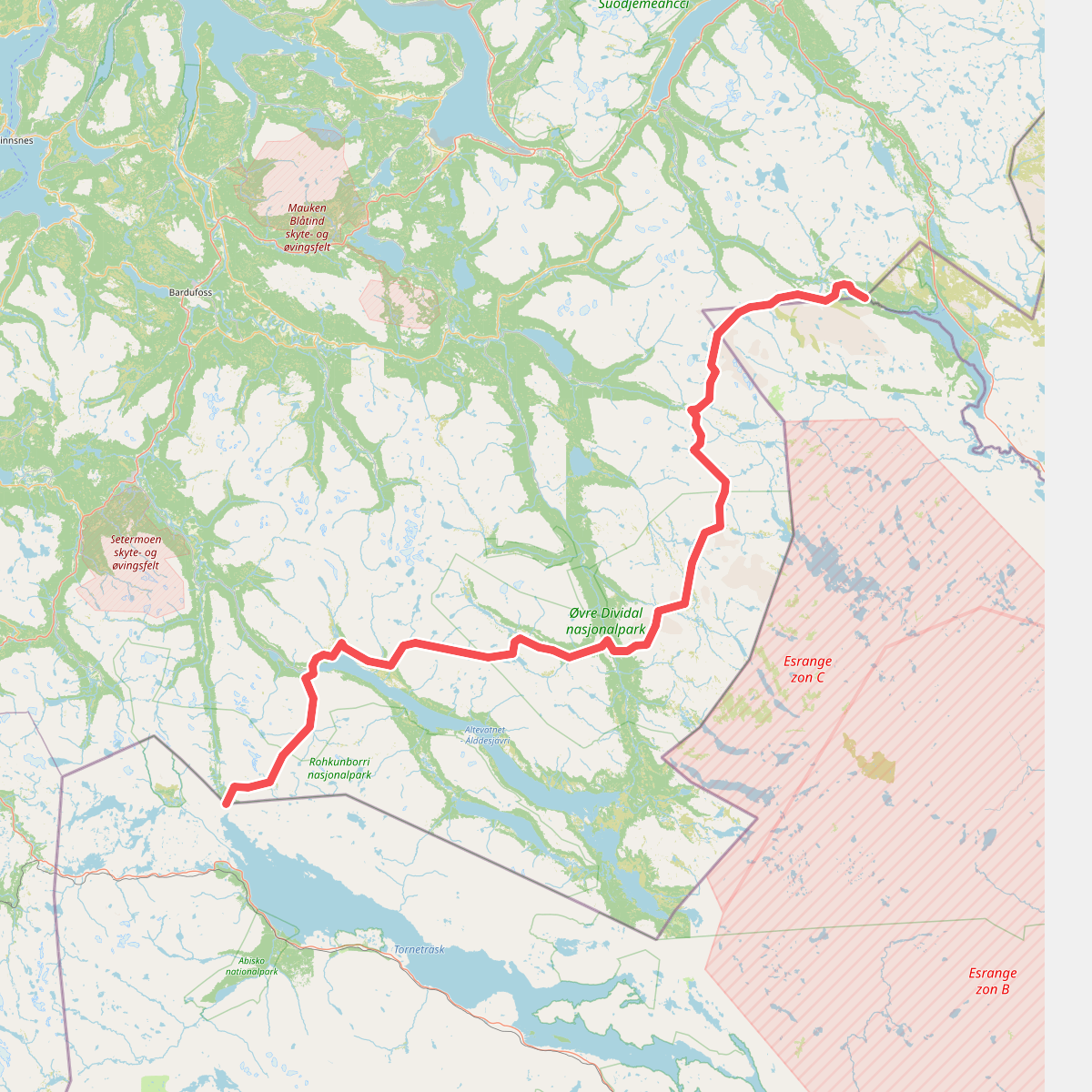
Discover the best walks in Rohkunborri nasjonalpark. 1 routes on the map, with descriptions, photos and GPX.
Managed by Rohkunborri Nasjonalparkstyre
About Rohkunborri nasjonalpark
Rohkunborri nasjonalpark is defined by its deep, steep-sided canyon, Sørdalen, which cuts through the landscape, and the high alpine plateau that surrounds the peak of Rohkunborri itself. Unlike flatter tundra parks, this area forces walkers to choose between the dense, humid birch forests of the valley floor and the exposed, rocky terrain of the high mountains. The transition between these two zones is abrupt, with rapid elevation changes over short distances.
Read more
About Rohkunborri nasjonalpark
Rohkunborri nasjonalpark is defined by its deep, steep-sided canyon, Sørdalen, which cuts through the landscape, and the high alpine plateau that surrounds the peak of Rohkunborri itself. Unlike flatter tundra parks, this area forces walkers to choose between the dense, humid birch forests of the valley floor and the exposed, rocky terrain of the high mountains. The transition between these two zones is abrupt, with rapid elevation changes over short distances.
Read moreRohkunborri nasjonalpark is defined by its deep, steep-sided canyon, Sørdalen, which cuts through the landscape, and the high alpine plateau that surrounds the peak of Rohkunborri itself. Unlike flatter tundra parks, this area forces walkers to choose between the dense, humid birch forests of the valley floor and the exposed, rocky terrain of the high mountains. The transition between these two zones is abrupt, with rapid elevation changes over short distances.
Underfoot, the valley trails consist of damp soil, thick moss, and sections of peat that require careful stepping around bogs, while the higher ground is dominated by dry, unstable scree, bare rock, and late-lying snow patches even in July. There are few built boardwalks, meaning walkers must navigate natural obstacles and river crossings without bridges. The landscape is shaped by active glacial meltwater, which you will hear in the roaring waterfalls of the canyon and see in the wide, braided gravel flats of the upper valleys.
This park is not a place for gentle, rolling strolls or signposted loop trails. It is a demanding terrain where route-finding skills are necessary once you leave the main valley path. The vegetation changes quickly from lush ferns and tall herbs in the damp microclimate of Sørdalen to sparse, hardy alpine lichens on the wind-swept ridges above.