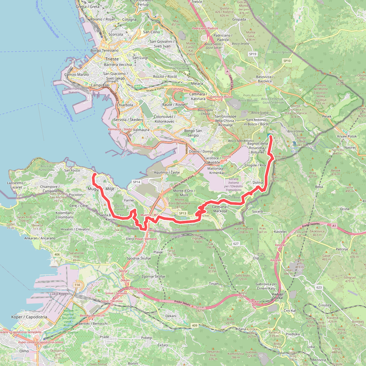
The best hiking routes in Riserva Naturale Val Rosandra / Naravni rezervat Dolina Glinščice
Discover the best walks in Riserva Naturale Val Rosandra / Naravni rezervat Dolina Glinščice. 15 routes on the map, with descriptions, photos and GPX.
Managed by Comune di San Dorligo della Valle / Občina Dolina
About Riserva Naturale Val Rosandra / Naravni rezervat Dolina Glinščice
Riserva Naturale Val Rosandra / Naravni rezervat Dolina Glinščice offers a stark contrast between the limestone Karst plateau and a deep, water-carved canyon. Walkers will notice a dramatic shift in landscape within a short distance. The upper edges feature bare, white limestone pavements, scree slopes, and sparse sub-Mediterranean scrub, while the valley floor is dominated by the humid, green corridor of the Rosandra stream. This stream creates the only surface water flow in the entire Karst region, complete with a thirty-meter waterfall that is audible from the surrounding cliffs.
Read more
About Riserva Naturale Val Rosandra / Naravni rezervat Dolina Glinščice
Riserva Naturale Val Rosandra / Naravni rezervat Dolina Glinščice offers a stark contrast between the limestone Karst plateau and a deep, water-carved canyon. Walkers will notice a dramatic shift in landscape within a short distance. The upper edges feature bare, white limestone pavements, scree slopes, and sparse sub-Mediterranean scrub, while the valley floor is dominated by the humid, green corridor of the Rosandra stream. This stream creates the only surface water flow in the entire Karst region, complete with a thirty-meter waterfall that is audible from the surrounding cliffs.
Read moreRiserva Naturale Val Rosandra / Naravni rezervat Dolina Glinščice offers a stark contrast between the limestone Karst plateau and a deep, water-carved canyon. Walkers will notice a dramatic shift in landscape within a short distance. The upper edges feature bare, white limestone pavements, scree slopes, and sparse sub-Mediterranean scrub, while the valley floor is dominated by the humid, green corridor of the Rosandra stream. This stream creates the only surface water flow in the entire Karst region, complete with a thirty-meter waterfall that is audible from the surrounding cliffs.
Underfoot, the terrain is rugged and demanding. The paths alternate between loose limestone scree, steep rocky steps, and sections of the former Austro-Hungarian railway line, which has been converted into a flatter gravel multi-use track. Sturdy footwear is necessary for the narrow, exposed paths that cling to the canyon walls, where the limestone can be slippery even when dry. The area is not a gentle woodland park; it is a steep, sun-exposed gorge where shade is limited to the very bottom of the ravine.
In late autumn, particularly in November, the sumac bushes on the rocky slopes turn a vibrant red, contrasting sharply with the pale grey stone. This valley is also known for its strong bora wind, which shapes the stunted black pines clinging to the cliffs. While the main trail along the old railway line attracts regular walkers and cyclists, the steeper side paths leading down to the stream bed or up to the ruins of the ancient church of Santa Maria in Siaris offer a much quieter, more demanding experience.
Hiking routes in Riserva Naturale Val Rosandra / Naravni rezervat Dolina Glinščice (15)
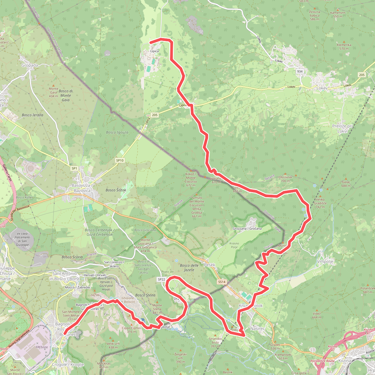
#1. Alpe Adria Trail E36
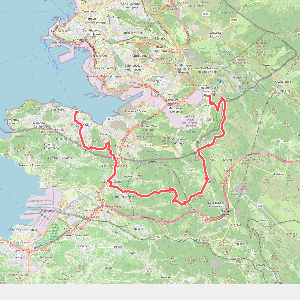
#2. Alpe Adria Trail E37
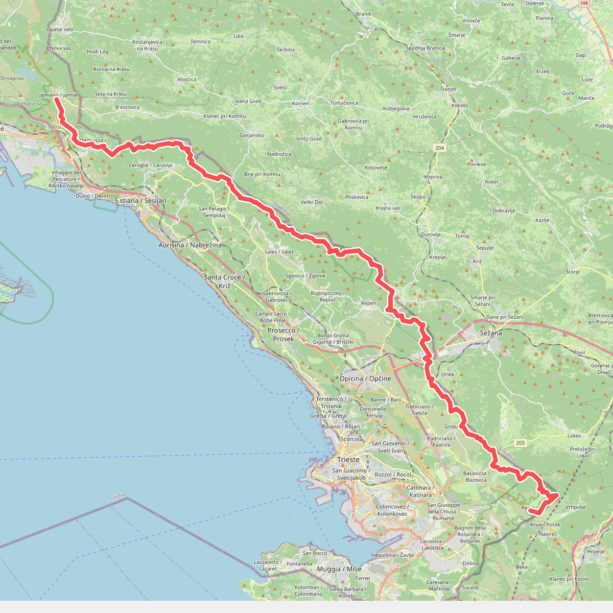
#3. Alta via del Carso
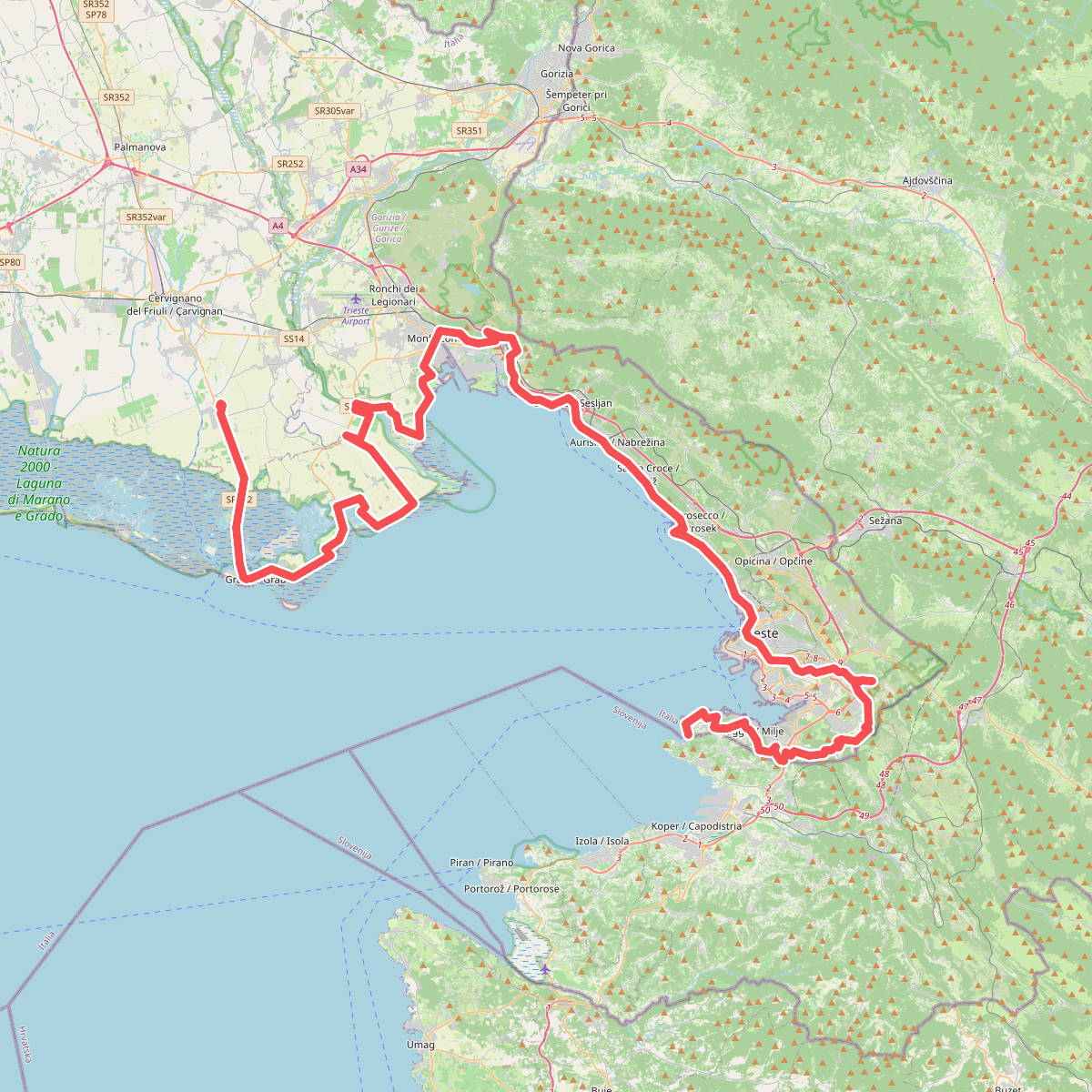
#4. Cammino Via Flavia
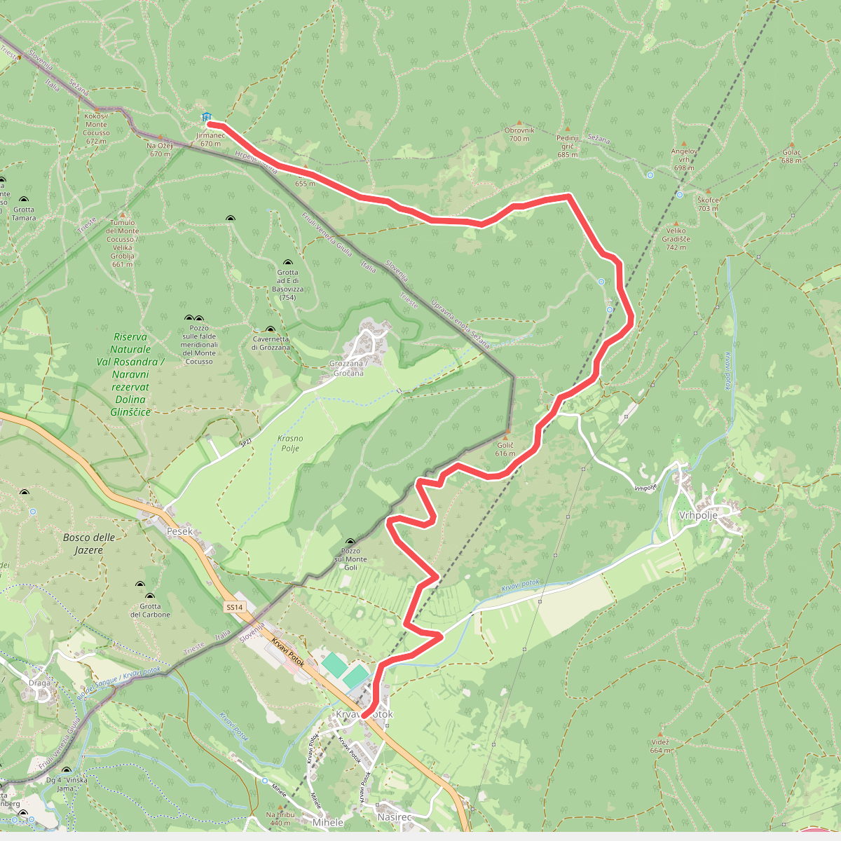
#5. Krvavi Potok - Kokoš
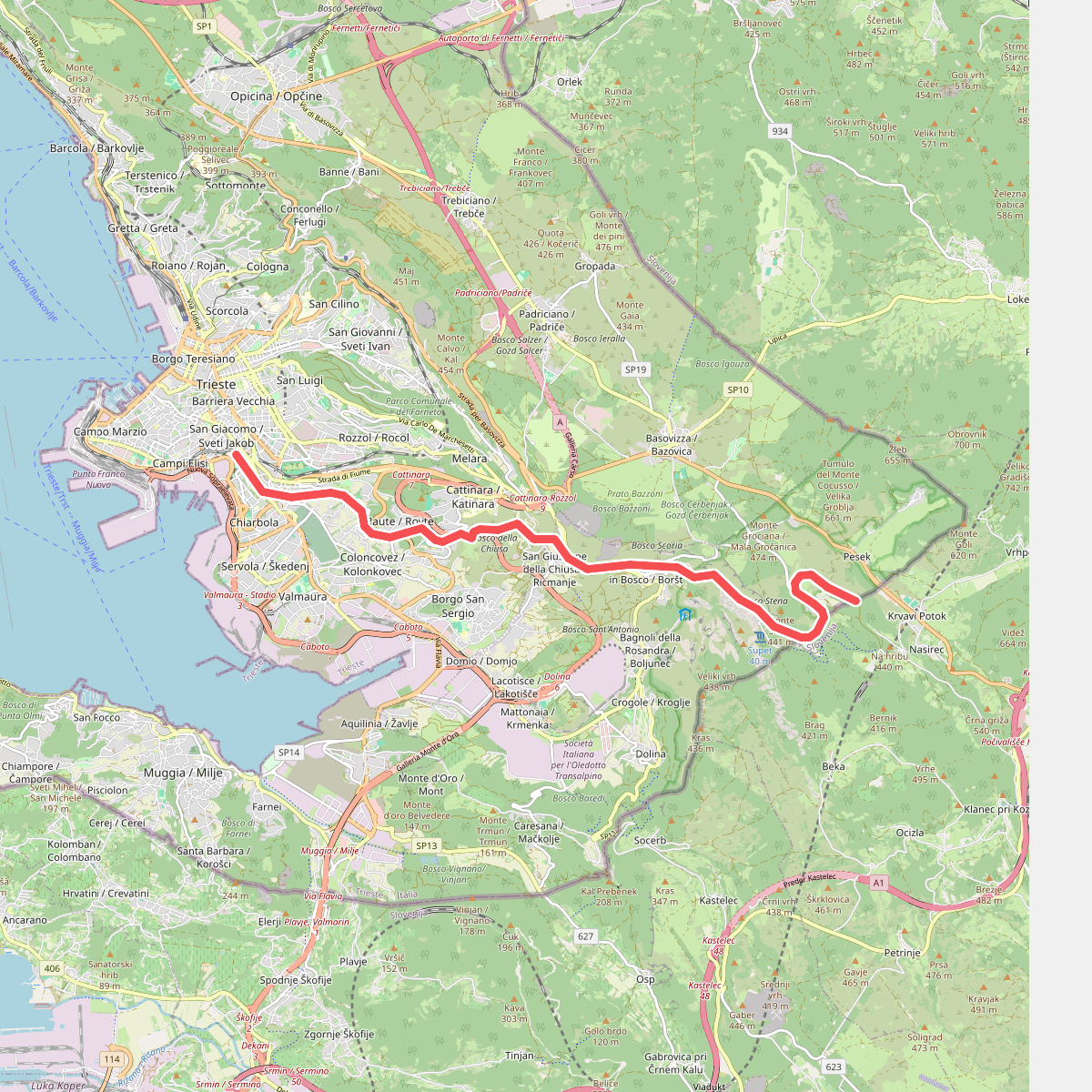
#6. Pista ciclopedonale Giordano Cottur / Kolesarska in sprehajalna pot Giordano Cottur
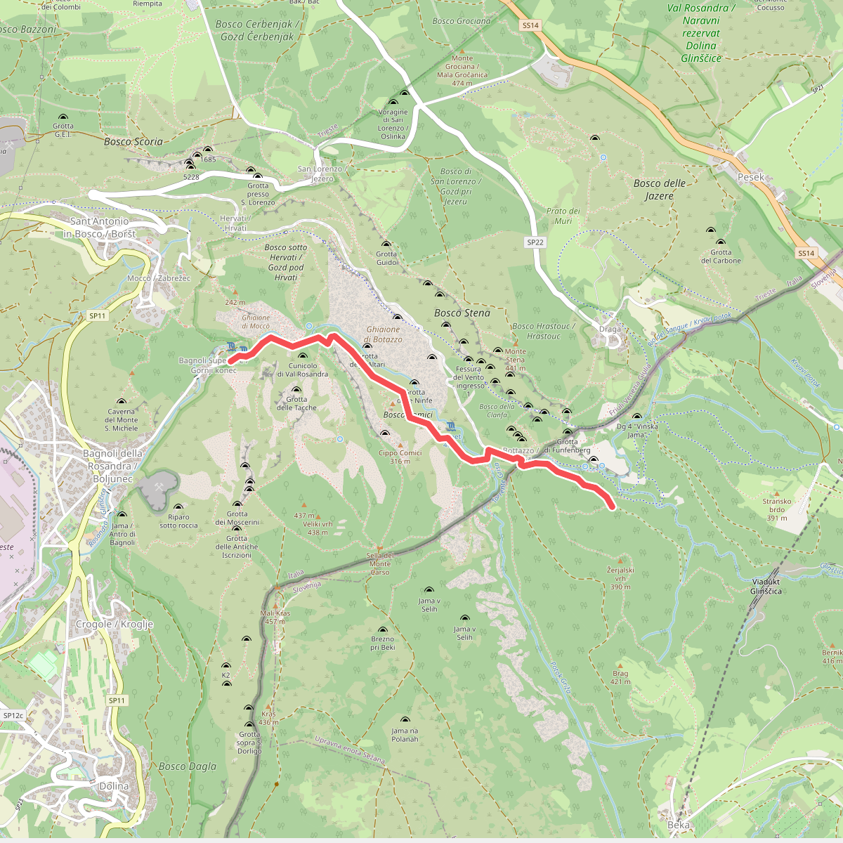
#7. Sentiero dell'Amicizia
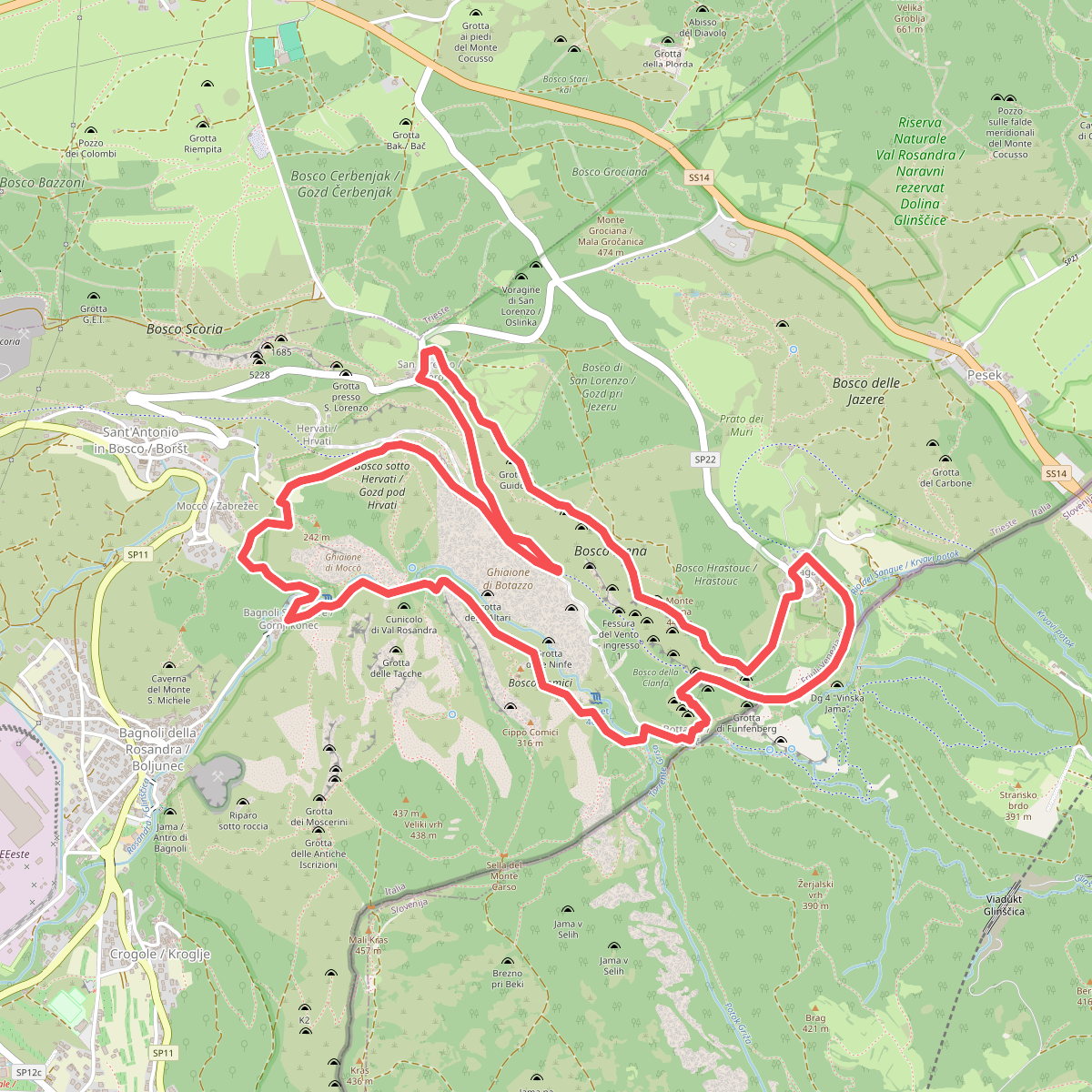
#8. Sentiero di forma circolare de Val Rosandra
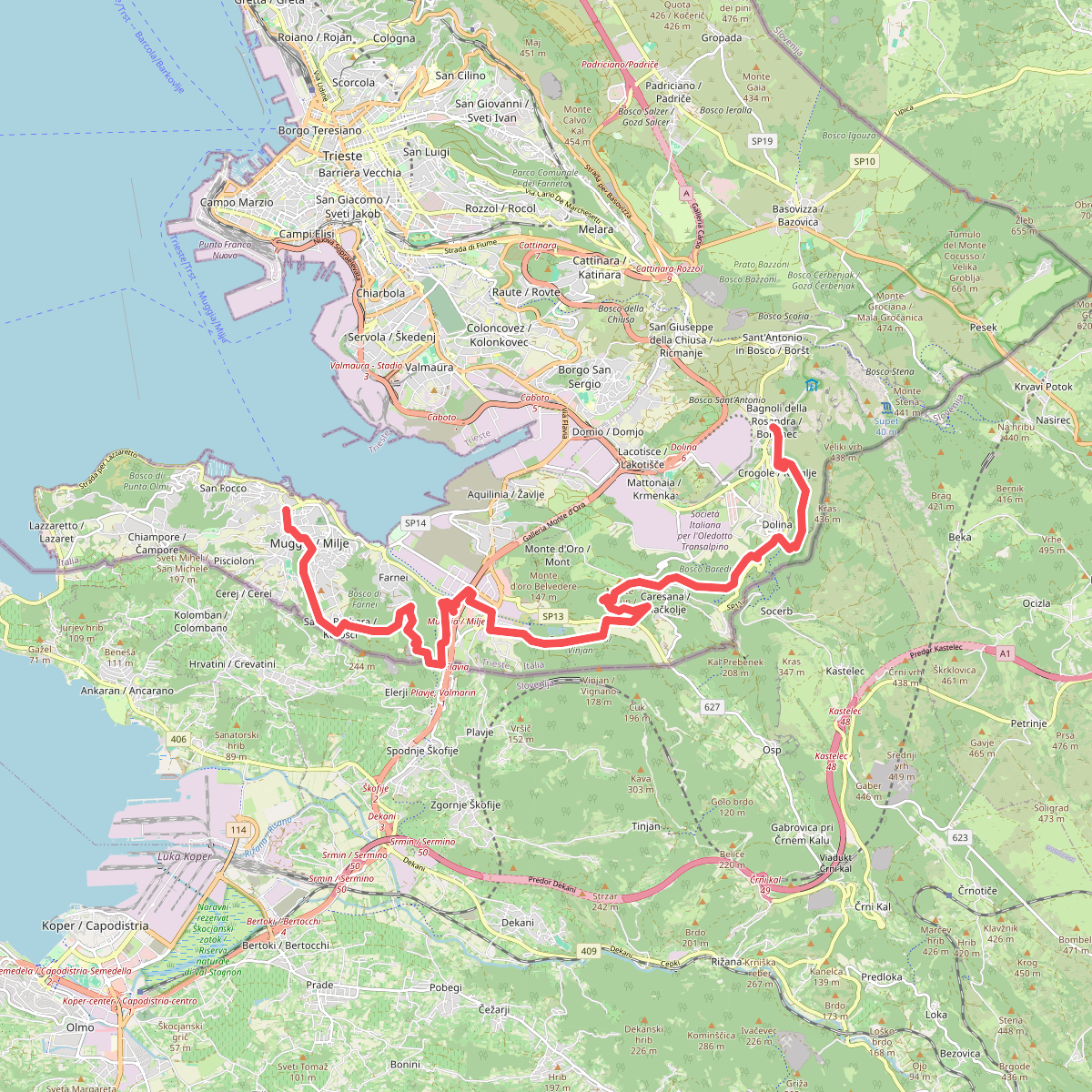
#9. Sentiero Italia · SI · SI
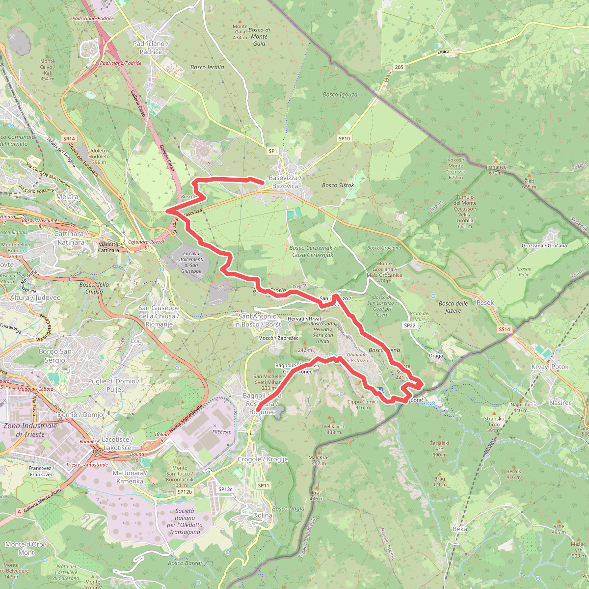
#10. Sentiero Italia · SI · SI
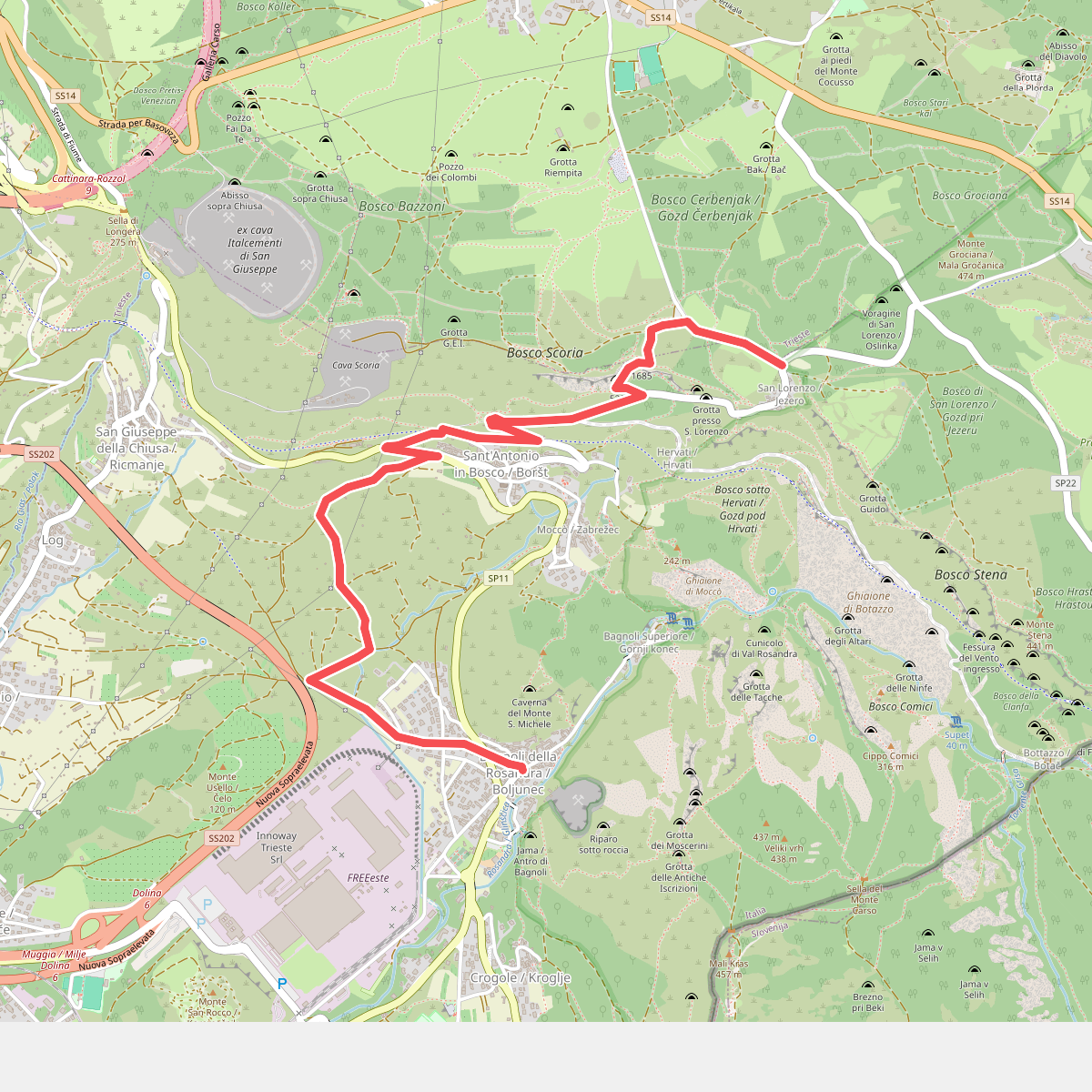
#11. Sentiero Rose d'inverno