The best hiking routes in Rios Sabor e Maçãs
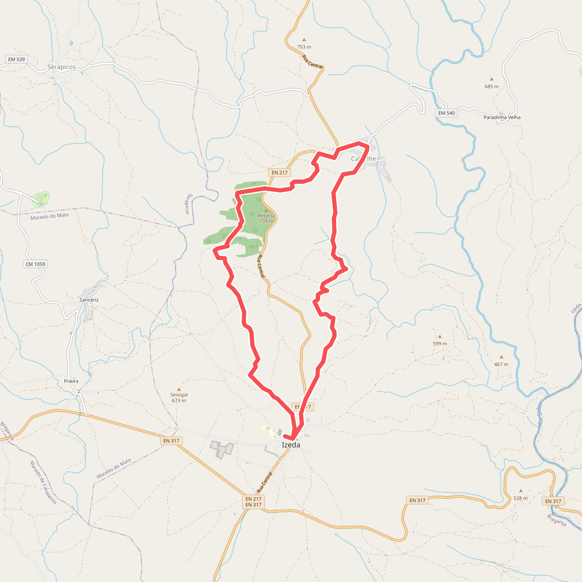
Discover the best walks in Rios Sabor e Maçãs. 1 routes on the map, with descriptions, photos and GPX.
Managed by Instituto da Conservação da Natureza e das Florestas
About Rios Sabor e Maçãs
Rios Sabor e Maçãs is defined by the deep, winding river valleys of the Sabor and Maçãs rivers, where steep schist slopes drop down to narrow watercourses. Unlike flatter agricultural plains nearby, this protected area is characterized by rugged, rocky terrain covered in Mediterranean scrub, olive groves, and small plots of cork oak. The landscape is shaped by traditional low-intensity farming and the natural barrier of the river gorges, which has kept large-scale forestry plantations out of the steepest ravines.
Read more
About Rios Sabor e Maçãs
Rios Sabor e Maçãs is defined by the deep, winding river valleys of the Sabor and Maçãs rivers, where steep schist slopes drop down to narrow watercourses. Unlike flatter agricultural plains nearby, this protected area is characterized by rugged, rocky terrain covered in Mediterranean scrub, olive groves, and small plots of cork oak. The landscape is shaped by traditional low-intensity farming and the natural barrier of the river gorges, which has kept large-scale forestry plantations out of the steepest ravines.
Read moreRios Sabor e Maçãs is defined by the deep, winding river valleys of the Sabor and Maçãs rivers, where steep schist slopes drop down to narrow watercourses. Unlike flatter agricultural plains nearby, this protected area is characterized by rugged, rocky terrain covered in Mediterranean scrub, olive groves, and small plots of cork oak. The landscape is shaped by traditional low-intensity farming and the natural barrier of the river gorges, which has kept large-scale forestry plantations out of the steepest ravines.
Underfoot, walkers will mostly encounter rough, stony dirt tracks and old agricultural paths rather than paved trails or boardwalks. The terrain requires steady footing, as loose schist fragments and steep gradients are common when descending into the valleys or climbing back to the high ridges. The vegetation along the paths consists of low rockrose, broom, and wild olive trees, offering very little shade along the exposed hillsides.
In April and May, the hillsides are marked by the white flowers of the rockrose, contrasting with the dark grey stone. The rivers themselves vary from fast-flowing channels in the cooler months to quiet, pooled waters by late summer. Walkers should expect a quiet, rural environment where the main challenges are the constant elevation changes and the rocky ground, rather than dense forests or high mountain peaks.