The best hiking routes in Rio Vouga
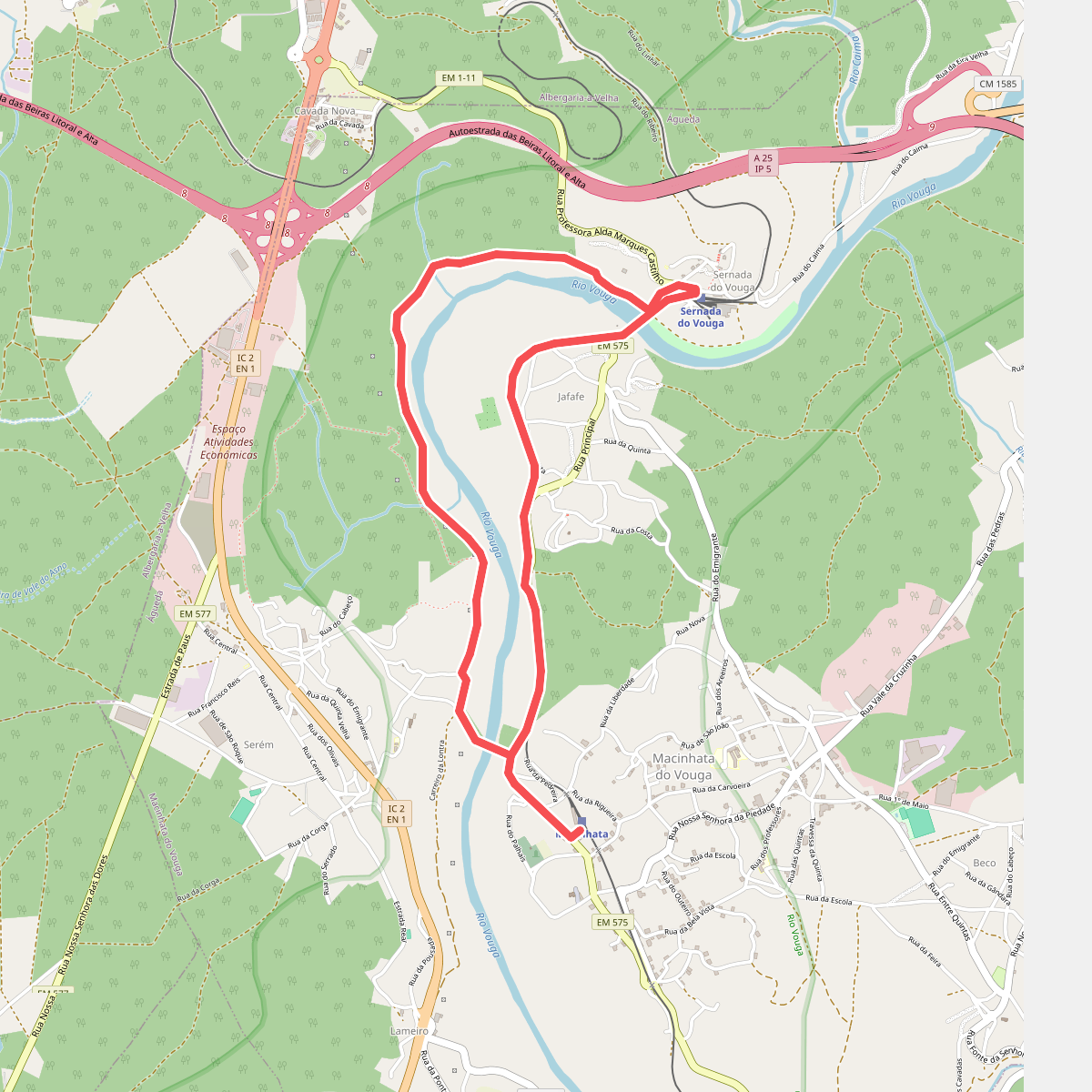
Discover the best walks in Rio Vouga. 1 routes on the map, with descriptions, photos and GPX.
Managed by Instituto da Conservação da Natureza e das Florestas
About Rio Vouga
The Rio Vouga valley offers a landscape shaped by water and traditional agriculture, where the river transitions from a fast-flowing upland stream into a wide, slow-moving estuary. Walkers will find a distinct contrast between the steeper, granite-strewn upper slopes covered in pine and eucalyptus plantations, and the flat, fertile alluvial plains of the lower valley. This lower section is characterized by the bocage landscape, a network of small agricultural fields bordered by stone walls, hedges, and alder trees that thrive in the damp soil.
Read more
About Rio Vouga
The Rio Vouga valley offers a landscape shaped by water and traditional agriculture, where the river transitions from a fast-flowing upland stream into a wide, slow-moving estuary. Walkers will find a distinct contrast between the steeper, granite-strewn upper slopes covered in pine and eucalyptus plantations, and the flat, fertile alluvial plains of the lower valley. This lower section is characterized by the bocage landscape, a network of small agricultural fields bordered by stone walls, hedges, and alder trees that thrive in the damp soil.
Read moreThe Rio Vouga valley offers a landscape shaped by water and traditional agriculture, where the river transitions from a fast-flowing upland stream into a wide, slow-moving estuary. Walkers will find a distinct contrast between the steeper, granite-strewn upper slopes covered in pine and eucalyptus plantations, and the flat, fertile alluvial plains of the lower valley. This lower section is characterized by the bocage landscape, a network of small agricultural fields bordered by stone walls, hedges, and alder trees that thrive in the damp soil.
Underfoot, the terrain varies from rocky, uneven dirt tracks on the valley slopes to flat, sandy paths and occasional wooden boardwalks near the marshier riverbanks. The river itself is the central feature, with its flow controlled by small weirs and old watermills that illustrate how local communities have harnessed the water for centuries. In the wetter lowlands, the vegetation consists of reeds, willows, and rushes, which contrast with the drier, scrubby gorse and heather found on the higher ridges.
This area does not offer high mountain peaks or deep, dramatic gorges, but rather a gently rolling river corridor that gradually flattens out. In late spring, particularly around May, the riverbanks are dense with flowering yellow irises and active birdlife, making the lowland paths especially detailed. While the main trails near the towns can be busier with local walkers, the paths tracing the narrower tributaries higher up the valley remain much quieter.