

The best hiking routes in Riede und Gewässer bei Mengen und Pfullendorf
Discover the best walks in Riede und Gewässer bei Mengen und Pfullendorf. 4 routes on the map, with descriptions, photos and GPX.
About Riede und Gewässer bei Mengen und Pfullendorf
Riede und Gewässer bei Mengen und Pfullendorf offers a landscape shaped by glacial history, characterized by a mosaic of wet meadows, silting-up mires, and small standing waterbodies. Unlike the dry, sandy pine forests of neighboring regions, this area is defined by its heavy, moisture-retaining clay and peat soils. Walkers will find a flat to gently undulating terrain where the transition from damp litter meadows to open water is often marked by thick reed beds and willow scrub.
Read more
About Riede und Gewässer bei Mengen und Pfullendorf
Riede und Gewässer bei Mengen und Pfullendorf offers a landscape shaped by glacial history, characterized by a mosaic of wet meadows, silting-up mires, and small standing waterbodies. Unlike the dry, sandy pine forests of neighboring regions, this area is defined by its heavy, moisture-retaining clay and peat soils. Walkers will find a flat to gently undulating terrain where the transition from damp litter meadows to open water is often marked by thick reed beds and willow scrub.
Read moreRiede und Gewässer bei Mengen und Pfullendorf offers a landscape shaped by glacial history, characterized by a mosaic of wet meadows, silting-up mires, and small standing waterbodies. Unlike the dry, sandy pine forests of neighboring regions, this area is defined by its heavy, moisture-retaining clay and peat soils. Walkers will find a flat to gently undulating terrain where the transition from damp litter meadows to open water is often marked by thick reed beds and willow scrub.
Underfoot, the paths alternate between damp dirt tracks and firmer gravel agricultural ways. There are no boardwalks or paved promenades here, so walkers should expect natural, sometimes uneven ground that follows the drainage ditches and pond edges. The lack of dramatic elevation changes means the focus remains entirely on the subtle shifts in wetland vegetation.
In late spring, around May, the damp meadows are particularly distinct as marsh marigolds and irises bloom, contrasting with the dark, still waters of the old gravel pits and natural ponds. It is a quiet, working landscape where conservation efforts exist alongside traditional farming, offering a straightforward look at Upper Swabian wetland ecology without tourist crowds.
Hiking routes in Riede und Gewässer bei Mengen und Pfullendorf (4)
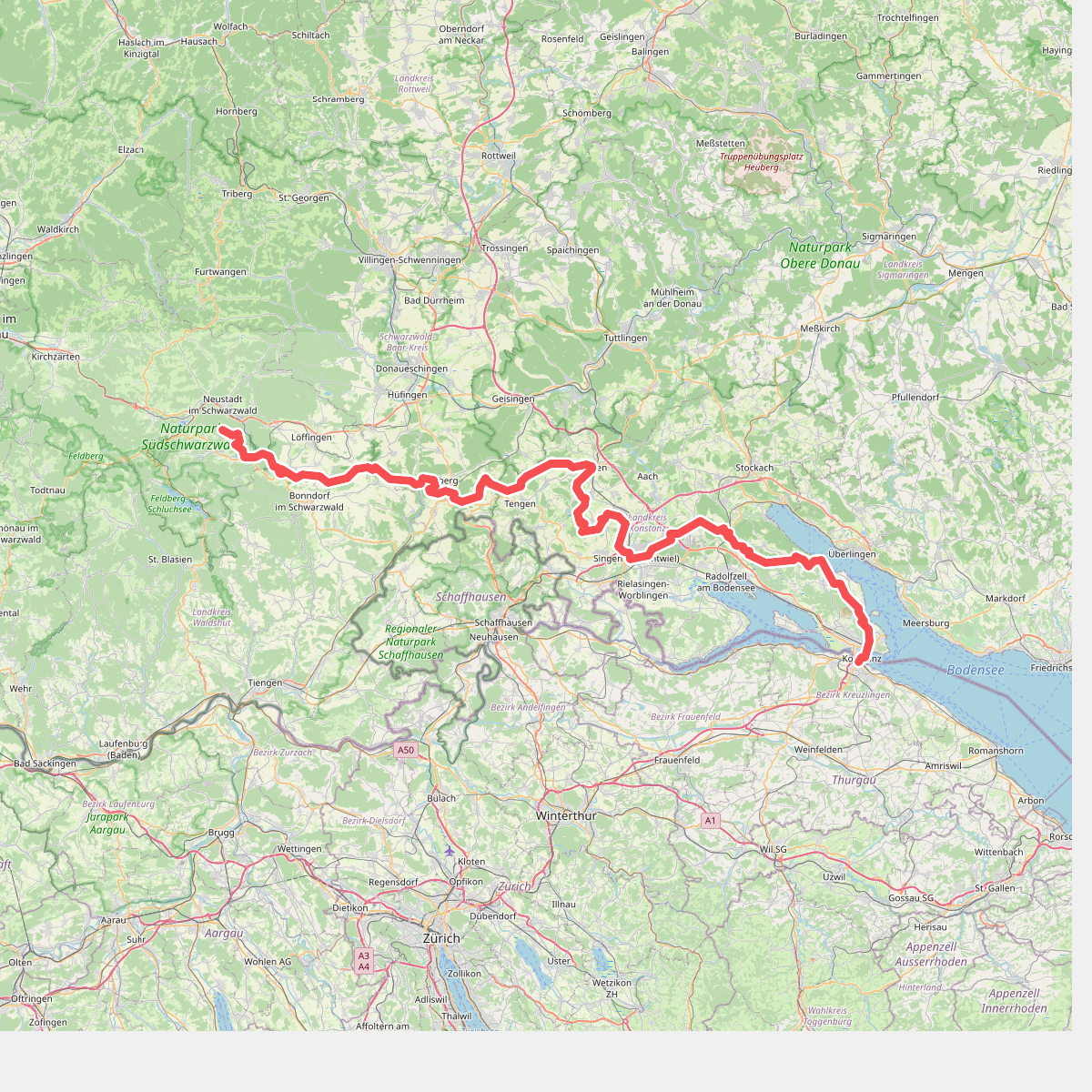
#1. European Long distance path E1 - part Germany, Baden-Wuerttemberg (region Schwarzwald south)
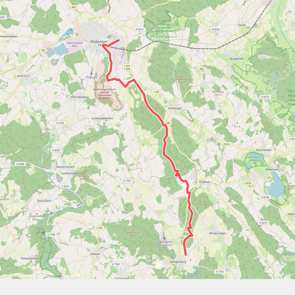
#2. Pfullendorf - Heiligenberg
Pfullendorf,Heiligenberg
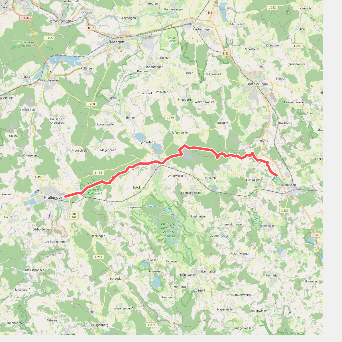
#3. Pfullingen - Altshausen
Pfullendorf,Ostrach,Hoßkirch,Eichstegen,Altshausen
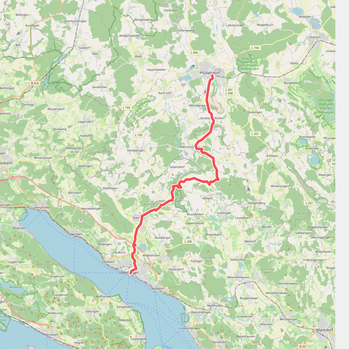
#4. Überlingen - Pfullendorf
Überlingen,Owingen,Frickingen,Heiligenberg,Pfullendorf



