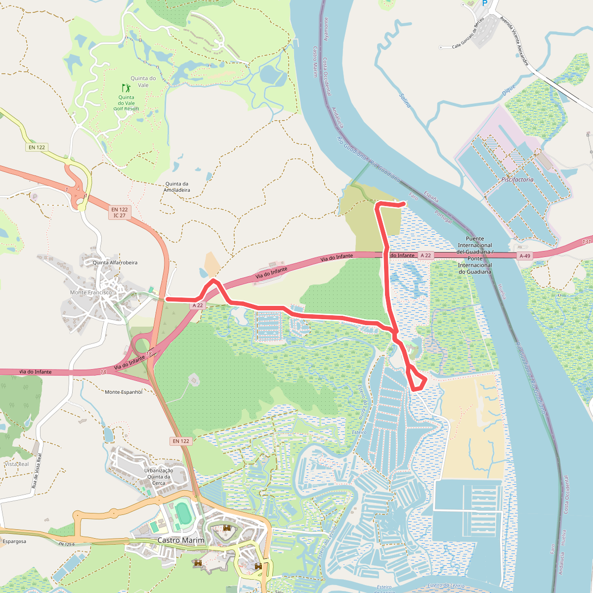
The best hiking routes in Ria Formosa-Castro Marim
Discover the best walks in Ria Formosa-Castro Marim. 14 routes on the map, with descriptions, photos and GPX.
Managed by Instituto da Conservação da Natureza e das Florestas
About Ria Formosa-Castro Marim
The Ria Formosa-Castro Marim protected areas present two distinct coastal landscapes in the eastern Algarve. Ria Formosa is a vast system of barrier islands, salt marshes, and tidal inlets, where the walking terrain consists of flat, sandy tracks, salt pans, and wooden boardwalks. In contrast, Castro Marim, situated further east along the Guadiana River, features dry clay hills, salt-evaporation ponds, and scrubby pastureland. There are no cliffs or high hills here; the terrain is consistently low-lying and exposed to the elements.
Read more
About Ria Formosa-Castro Marim
The Ria Formosa-Castro Marim protected areas present two distinct coastal landscapes in the eastern Algarve. Ria Formosa is a vast system of barrier islands, salt marshes, and tidal inlets, where the walking terrain consists of flat, sandy tracks, salt pans, and wooden boardwalks. In contrast, Castro Marim, situated further east along the Guadiana River, features dry clay hills, salt-evaporation ponds, and scrubby pastureland. There are no cliffs or high hills here; the terrain is consistently low-lying and exposed to the elements.
Read moreThe Ria Formosa-Castro Marim protected areas present two distinct coastal landscapes in the eastern Algarve. Ria Formosa is a vast system of barrier islands, salt marshes, and tidal inlets, where the walking terrain consists of flat, sandy tracks, salt pans, and wooden boardwalks. In contrast, Castro Marim, situated further east along the Guadiana River, features dry clay hills, salt-evaporation ponds, and scrubby pastureland. There are no cliffs or high hills here; the terrain is consistently low-lying and exposed to the elements.
Walking in Ria Formosa means navigating loose sand on the barrier beaches or firm dirt paths along the salt pans, where tidal flows constantly change the water levels. In Castro Marim, the underfoot conditions shift to hard-packed clay tracks that can become sticky after rain, winding between active salt production sites and dry farmland. The vegetation reflects this divide, shifting from salt-tolerant succulents and dune grasses near the ocean to hardy Mediterranean scrub and olive trees further inland.
Spring brings nesting waders to the salt pans, while autumn attracts migrating flamingos to the shallow waters. The areas near main access points and visitor centres are often busier, but the long dike paths and beach walks offer quieter stretches. This is a landscape shaped by traditional salt harvesting and shellfish gathering, where the appeal lies in observing these working coastal systems rather than seeking dramatic elevation changes.
Hiking routes in Ria Formosa-Castro Marim (14)
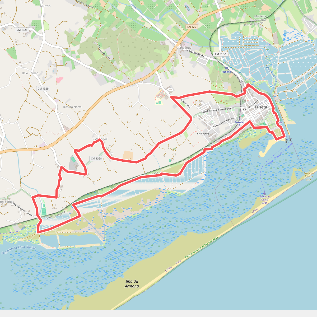
#1. Caminho da Ria Formosa
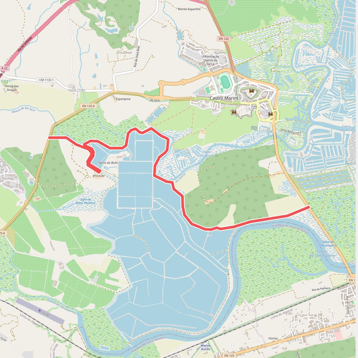
#2. Cerro do Bufo
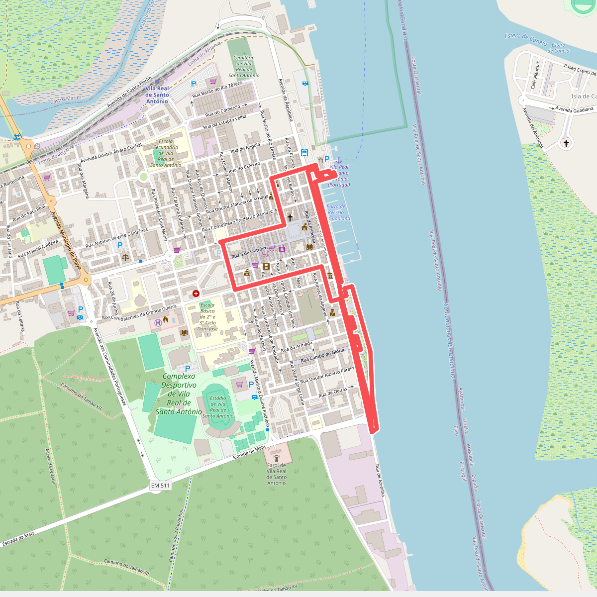
#3. Cidade Pombalina
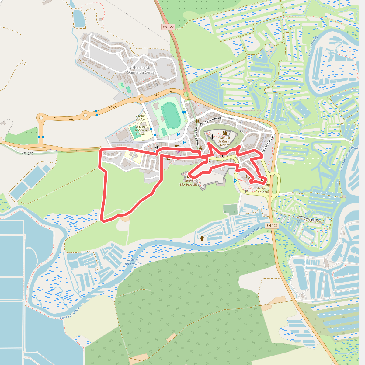
#4. Do Passado ao Presente
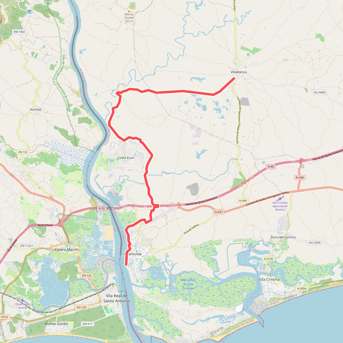
#5. Etapa 44: Villablanca - Ayamonte
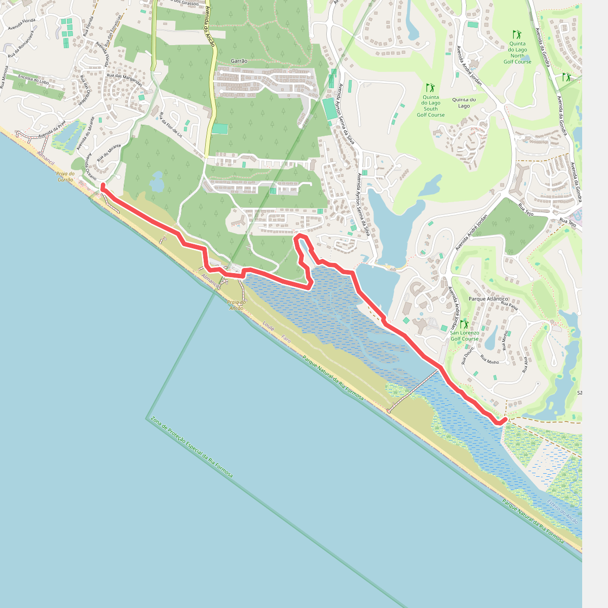
#6. Passadiços Loulé Litoral
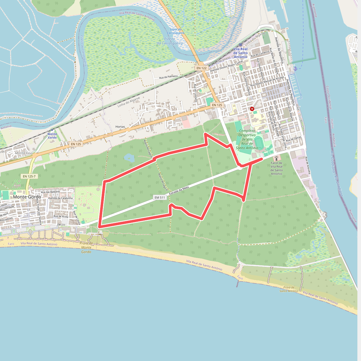
#7. Percurso da Mata
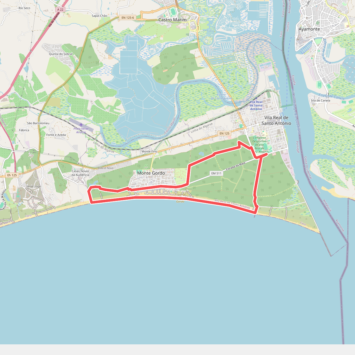
#8. Percurso da Praia
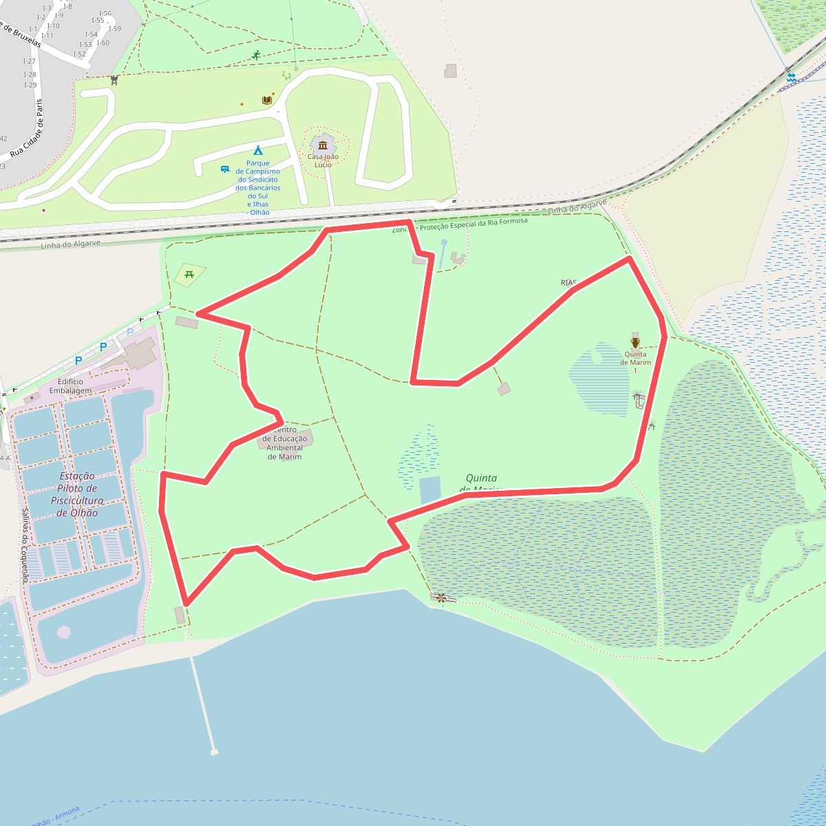
#9. Percurso do Centro de Educação Ambiental de Marim
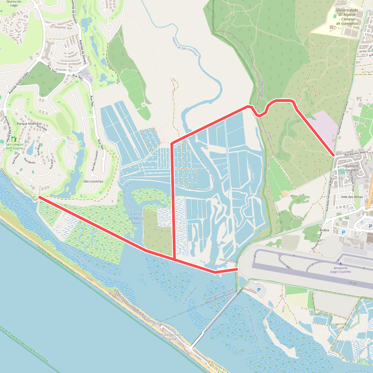
#10. PP Ria Formosa
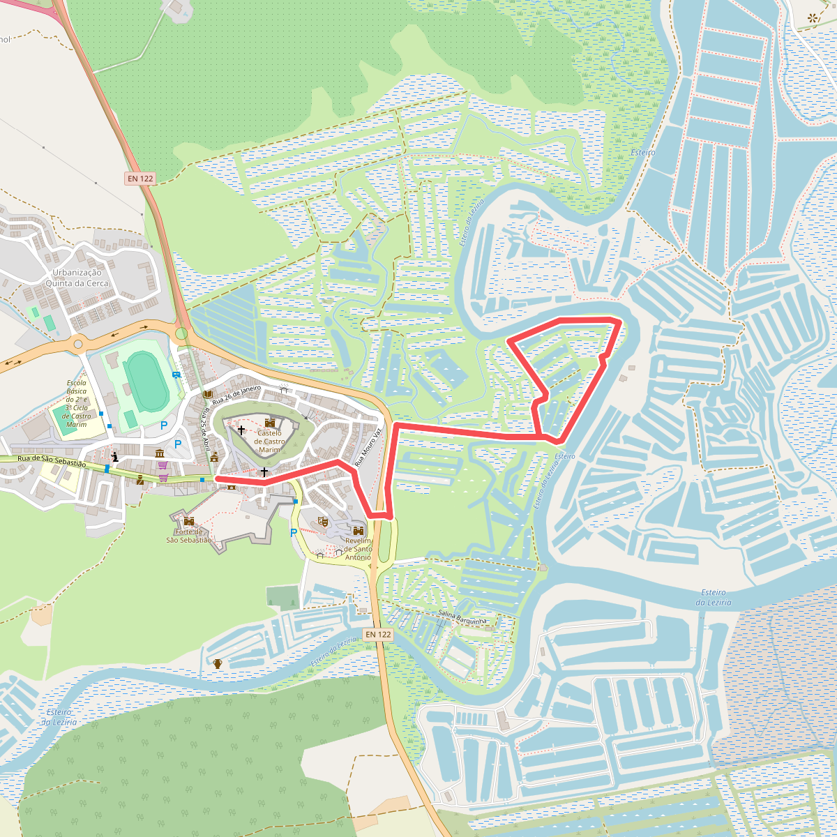
#11. Salinas Tradicionais