

The best hiking routes in Rheindelta
Discover the best walks in Rheindelta. 5 routes on the map, with descriptions, photos and GPX.
About Rheindelta
The Rheindelta nature reserve, situated where the Alpine Rhine flows into Lake Constance, is a vast wetland landscape shaped by river sediment and lake water levels. Walkers will find a flat terrain dominated by reed beds, wet meadows, and alluvial forests, rather than dry forests or sandy dunes. The area is a crucial stopover for migratory birds, meaning the visual character of the landscape changes significantly between spring and autumn as different species arrive.
Read more
About Rheindelta
The Rheindelta nature reserve, situated where the Alpine Rhine flows into Lake Constance, is a vast wetland landscape shaped by river sediment and lake water levels. Walkers will find a flat terrain dominated by reed beds, wet meadows, and alluvial forests, rather than dry forests or sandy dunes. The area is a crucial stopover for migratory birds, meaning the visual character of the landscape changes significantly between spring and autumn as different species arrive.
Read moreThe Rheindelta nature reserve, situated where the Alpine Rhine flows into Lake Constance, is a vast wetland landscape shaped by river sediment and lake water levels. Walkers will find a flat terrain dominated by reed beds, wet meadows, and alluvial forests, rather than dry forests or sandy dunes. The area is a crucial stopover for migratory birds, meaning the visual character of the landscape changes significantly between spring and autumn as different species arrive.
Underfoot, the paths vary between paved dyke trails, gravel tracks, and soft, grassy paths that run alongside the water channels. While the main dykes offer firm, elevated walking with clear views over the lake and the river mouth, the lower paths through the reed beds can be muddy and require sturdy footwear. There are no boardwalk networks here; instead, you follow defined agricultural and maintenance tracks that cut through the marshland.
This reserve is not a place for solitary woodland walks or hill climbing, as the landscape is entirely flat and open. The lakeside sections and bird-watching towers can become busy with visitors, particularly during the migration seasons in April and September, whereas the inland meadows along the old Rhine arms are often quieter. Walkers should expect an open, exposed environment with little shade.
Hiking routes in Rheindelta (5)
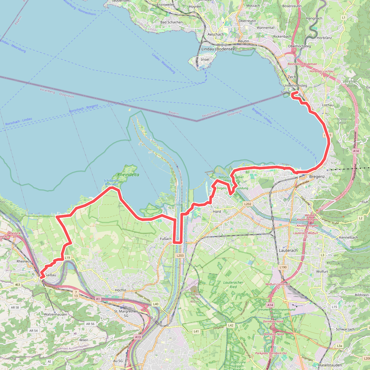
#1. Bodenseeweg
Hörbranz,Bregenz,Lochau,Hard,Fußach,Höchst,Gaißau
![[E4/E5] Europäischer Fernwanderweg Rhein bis Grenze D](https://wandelweb.fsn1.your-objectstorage.com/tracks/static-maps/51078-1779147107-large.png)
#2. [E4/E5] Europäischer Fernwanderweg Rhein bis Grenze D
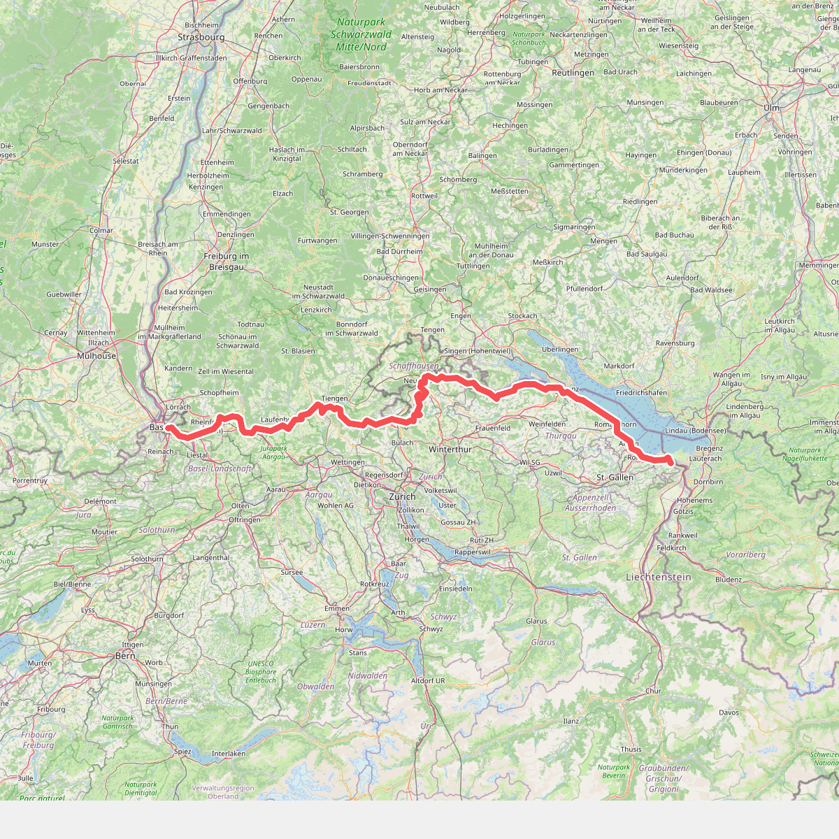
#3. Europäischer Fernwanderweg E5, Schweiz
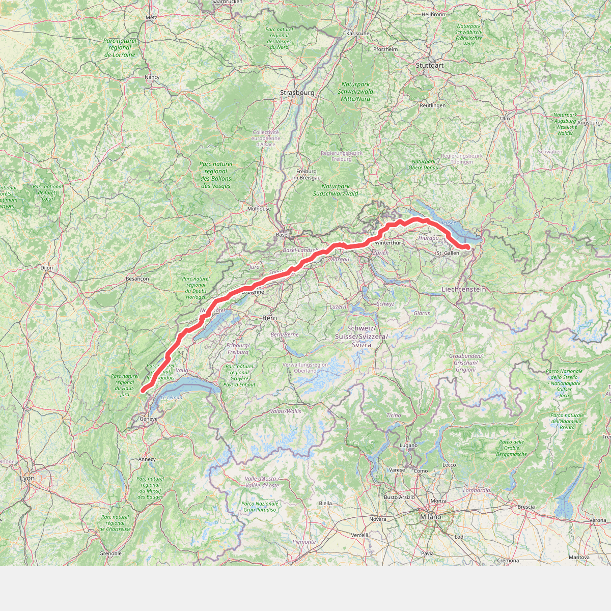
#4. European long distance path E4 - part Switzerland
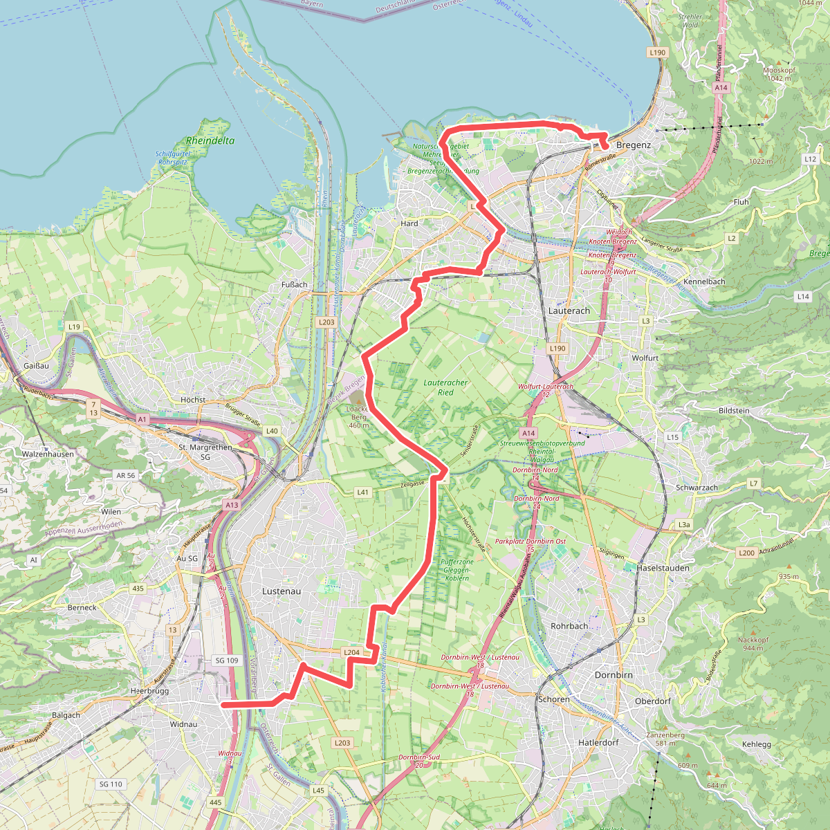
#5. Jakobsweg Vorarlberg
Bregenz,Hard,Lauterach,Dornbirn,Lustenau,Widnau



