

The best hiking routes in Přírodní park Berounka
Discover the best walks in Přírodní park Berounka. 10 routes on the map, with descriptions, photos and GPX.
About Přírodní park Berounka
Přírodní park Berounka is defined by the deep, winding river valley of the Berounka, where steep rocky hillsides rise sharply from the water. Unlike flatter river plains, this landscape is a mix of dense deciduous forests, exposed shale cliffs, and dry grassy slopes. The terrain is characterized by dramatic elevation changes over short distances, with side ravines cutting through the high plateau down to the riverbed.
Read more
About Přírodní park Berounka
Přírodní park Berounka is defined by the deep, winding river valley of the Berounka, where steep rocky hillsides rise sharply from the water. Unlike flatter river plains, this landscape is a mix of dense deciduous forests, exposed shale cliffs, and dry grassy slopes. The terrain is characterized by dramatic elevation changes over short distances, with side ravines cutting through the high plateau down to the riverbed.
Read morePřírodní park Berounka is defined by the deep, winding river valley of the Berounka, where steep rocky hillsides rise sharply from the water. Unlike flatter river plains, this landscape is a mix of dense deciduous forests, exposed shale cliffs, and dry grassy slopes. The terrain is characterized by dramatic elevation changes over short distances, with side ravines cutting through the high plateau down to the riverbed.
Underfoot, walkers will encounter a variety of surfaces. The lower paths running parallel to the river are mostly flat, packed dirt tracks, while the trails ascending the valley walls quickly turn into rocky, uneven paths with loose slate and exposed tree roots. In the autumn months, particularly October, the thick canopy of oak and hornbeam drops a heavy layer of leaves that can obscure the stony ground on these steeper climbs.
This park does not offer wide, open mountain vistas or high alpine peaks. Instead, the views are intimate and framed by the valley walls, looking down onto the wide, slow-moving river or across to the opposite forested slopes. While the main trails near the water and close to local villages see regular foot traffic, the steep paths leading up into the side valleys are often quieter and offer a more rugged walking experience.
Hiking routes in Přírodní park Berounka (10)
![[Č] Kalinova Ves - Nižbor](https://wandelweb.fsn1.your-objectstorage.com/tracks/static-maps/35765-1779134364-large.png)
#1. [Č] Kalinova Ves - Nižbor
Zvíkovec,Hradiště,Čilá,Skryje,Hřebečníky,Hracholusky,Nezabudice,Velká Buková,Roztoky,Zbečno,Račice,Nižbor
![[Č] Krašovice - Machův Mlýn](https://wandelweb.fsn1.your-objectstorage.com/tracks/static-maps/35751-1779134352-large.png)
#2. [Č] Krašovice - Machův Mlýn
Krašovice,Bučí,Mrtník,Plasy,Kralovice,Kožlany,Břežany,Šípy,Slatina
![[Č] Volduchy - Kalinova Ves](https://wandelweb.fsn1.your-objectstorage.com/tracks/static-maps/35586-1779134292-large.png)
#3. [Č] Volduchy - Kalinova Ves
Volduchy,Osek,Březina,Přívětice,Radnice,Kamenec,Lhotka u Radnic,Hlohovice,Bujesily,Bohy,Kladruby,Chlum,Zvíkovec
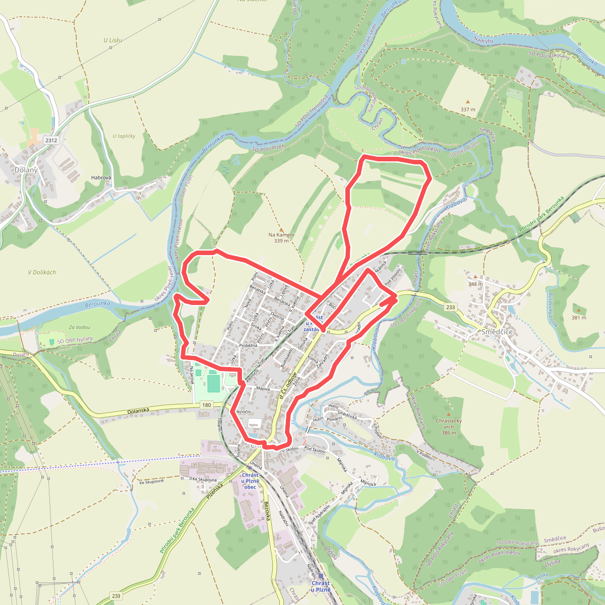
#4. Naučná stezka Chrást
Chrást
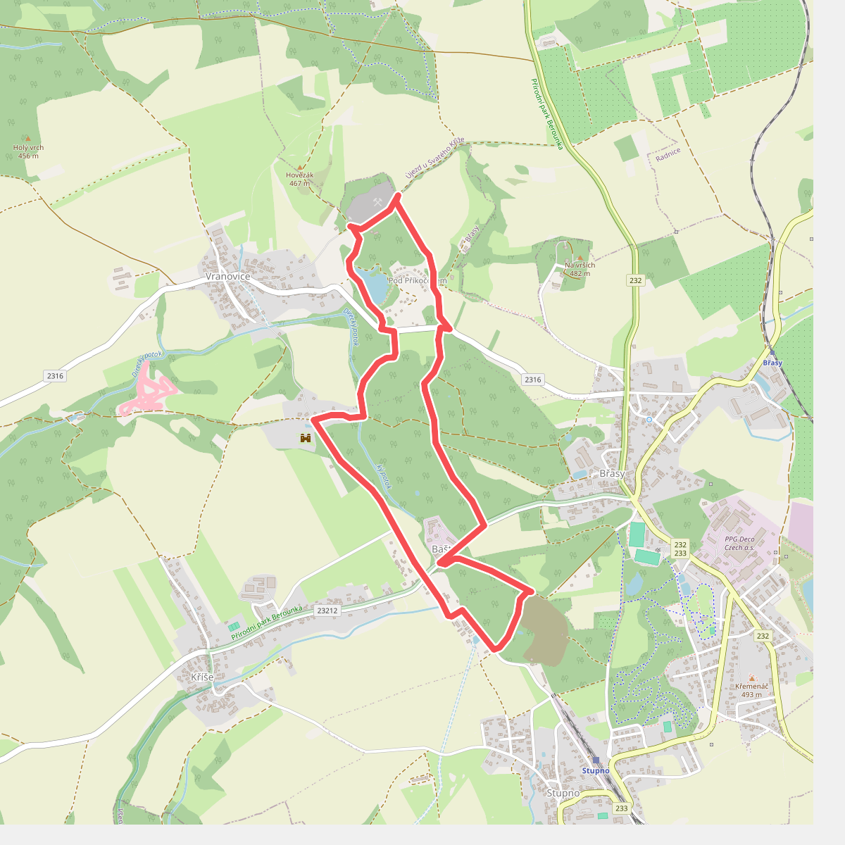
#5. NS Po stopách důlní činnosti na Břasku
Břasy
![[Ž] Krašov - Kralovice](https://wandelweb.fsn1.your-objectstorage.com/tracks/static-maps/35758-1779134357-large.png)
#6. [Ž] Krašov - Kralovice
Bohy,Kozojedy,Kožlany,Kralovice
![[Z] Liblín - Zbiroh](https://wandelweb.fsn1.your-objectstorage.com/tracks/static-maps/35767-1779134365-large.png)
#7. [Z] Liblín - Zbiroh
Zbiroh,Kařez,Plískov,Drahoňův Újezd,Vejvanov,Skomelno,Radnice,Kamenec,Lhotka u Radnic,Liblín
![[Z] Liblín - Zbraslavský vrch](https://wandelweb.fsn1.your-objectstorage.com/tracks/static-maps/35752-1779134353-large.png)
#8. [Z] Liblín - Zbraslavský vrch
Manětín,Štědrá,Pšov,Líté,Horní Bělá,Dolní Bělá,Loza,Dražeň,Plasy,Dolní Hradiště,Kozojedy
![[Ž] Máchův mlýn - Kalinova Ves](https://wandelweb.fsn1.your-objectstorage.com/tracks/static-maps/35768-1779134366-large.png)
#9. [Ž] Máchův mlýn - Kalinova Ves
Šípy,Chříč
![[Ž] Třemošná - Radnice](https://wandelweb.fsn1.your-objectstorage.com/tracks/static-maps/35584-1779134291-large.png)
#10. [Ž] Třemošná - Radnice
Radnice,Újezd u Svatého Kříže,Břasy,Němčovice,Hromnice,Česká Bříza,Třemošná



