

The best hiking routes in Pilsachtal, Wünnaubachtal und Pfeffershofener Bachtal
Discover the best walks in Pilsachtal, Wünnaubachtal und Pfeffershofener Bachtal. 15 routes on the map, with descriptions, photos and GPX.
About Pilsachtal, Wünnaubachtal und Pfeffershofener Bachtal
The Pilsachtal, Wünnaubachtal und Pfeffershofener Bachtal protected area offers a landscape shaped by small, spring-fed streams cutting through the Franconian Jura. Unlike the dry, rocky plateaus nearby, this area is defined by damp valley floors, wet meadows, and alluvial woodland. Walkers will notice how the water table dictates the vegetation, with marsh marigolds and reeds thriving in the lower, boggy sections, while beech and pine cover the steeper slopes flanking the streams.
Read more
About Pilsachtal, Wünnaubachtal und Pfeffershofener Bachtal
The Pilsachtal, Wünnaubachtal und Pfeffershofener Bachtal protected area offers a landscape shaped by small, spring-fed streams cutting through the Franconian Jura. Unlike the dry, rocky plateaus nearby, this area is defined by damp valley floors, wet meadows, and alluvial woodland. Walkers will notice how the water table dictates the vegetation, with marsh marigolds and reeds thriving in the lower, boggy sections, while beech and pine cover the steeper slopes flanking the streams.
Read moreThe Pilsachtal, Wünnaubachtal und Pfeffershofener Bachtal protected area offers a landscape shaped by small, spring-fed streams cutting through the Franconian Jura. Unlike the dry, rocky plateaus nearby, this area is defined by damp valley floors, wet meadows, and alluvial woodland. Walkers will notice how the water table dictates the vegetation, with marsh marigolds and reeds thriving in the lower, boggy sections, while beech and pine cover the steeper slopes flanking the streams.
Underfoot, the terrain varies between soft, damp earth paths along the valley bottoms and firmer, gravelly forest tracks as you climb the valley sides. There are no dramatic gorges or high mountain peaks here; instead, the landscape consists of gently sloping, narrow valleys where small streams meander through pastures. The transition from open, farmed meadowland to dense, shaded woodland is quick and frequent, providing a mix of light and shade.
In late May, the wet meadows along the Pilsach stream are particularly distinct, showing a rich variety of moisture-loving wildflowers before the summer hay cut. This is a working agricultural and forestry landscape, so you will encounter farm tracks, small drainage ditches, and occasional timber stacks alongside the natural stream beds. It is generally a quiet area for walking, with the most consistent sound being the movement of water through the narrow channels.
Hiking routes in Pilsachtal, Wünnaubachtal und Pfeffershofener Bachtal (15)
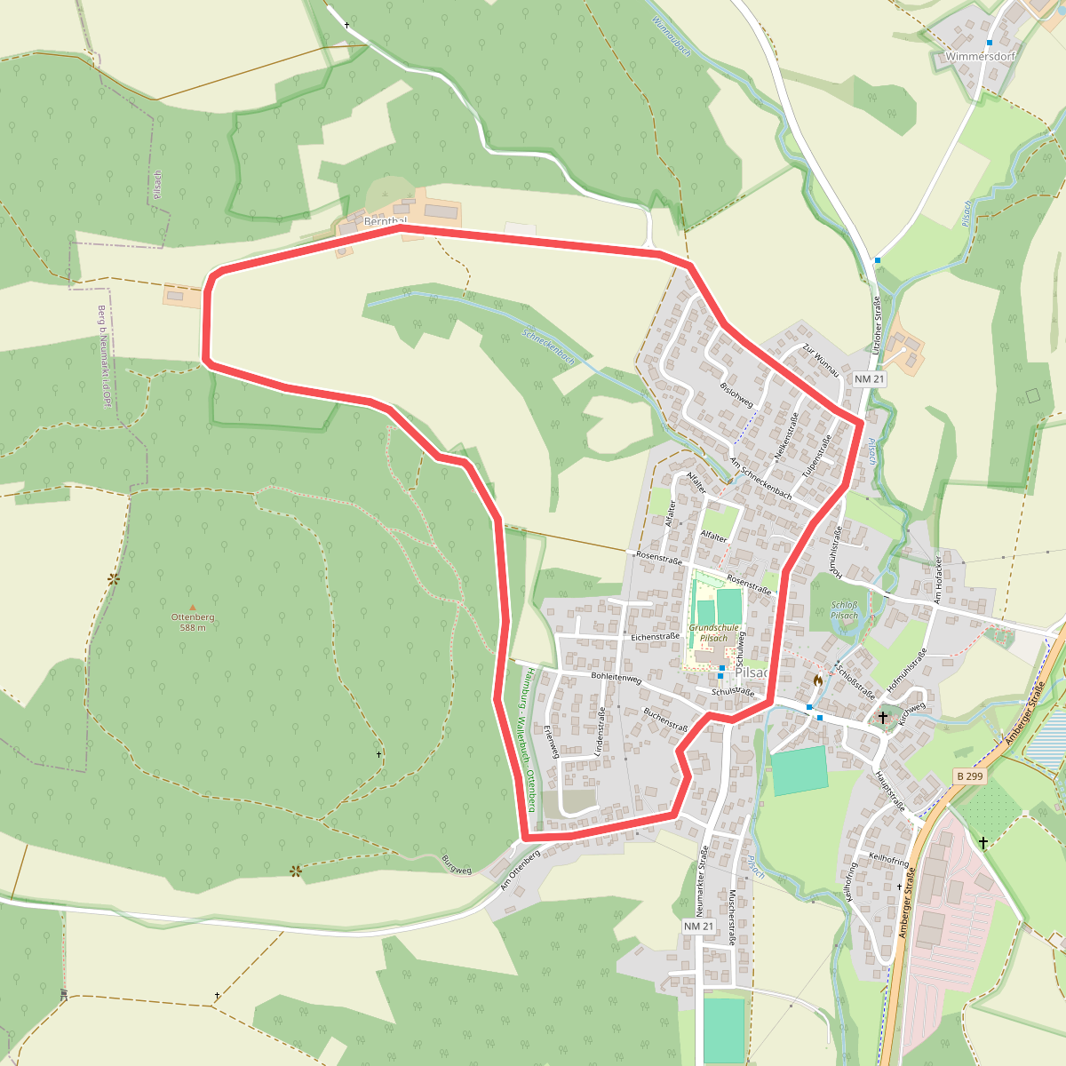
#1. Bernthal-Spaziergang
Pilsach
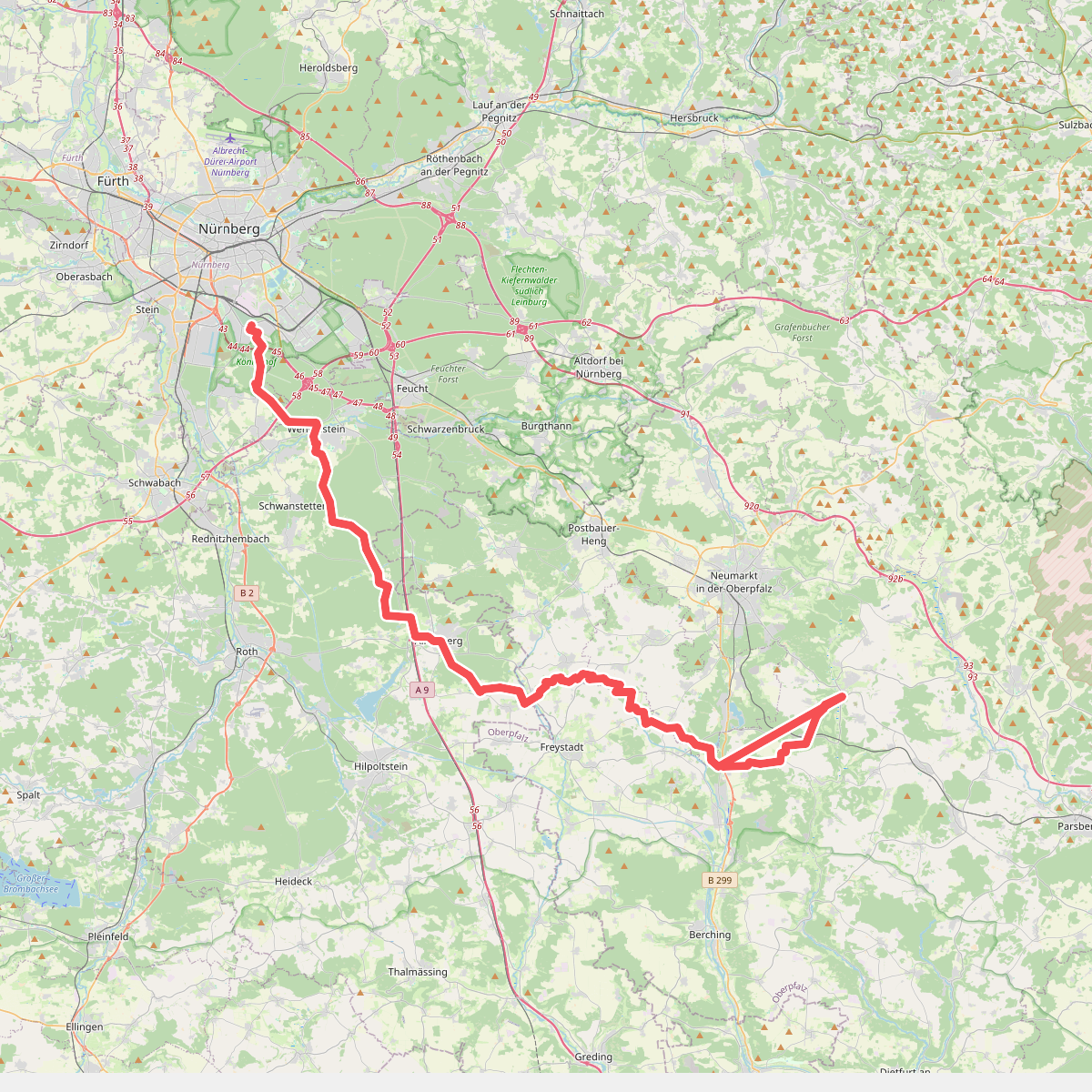
#2. Deininger Weg
Nürnberg,Forst Kleinschwarzenlohe,Wendelstein,Schwanstetten,Roth,Allersberg,Freystadt,Berngau,Sengenthal,Mühlhausen,Deining
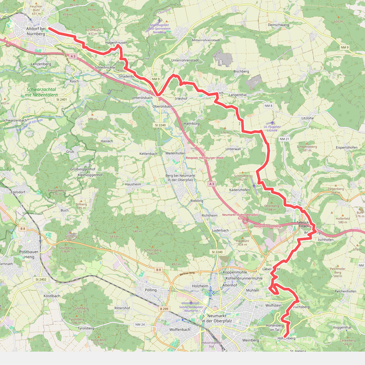
#3. Altdorf b. Nürnberg - Höhenberg · Frankenweg etappe 17
Altdorf bei Nürnberg,Berg b.Neumarkt i.d.OPf.,Pilsach,Neumarkt in der Oberpfalz
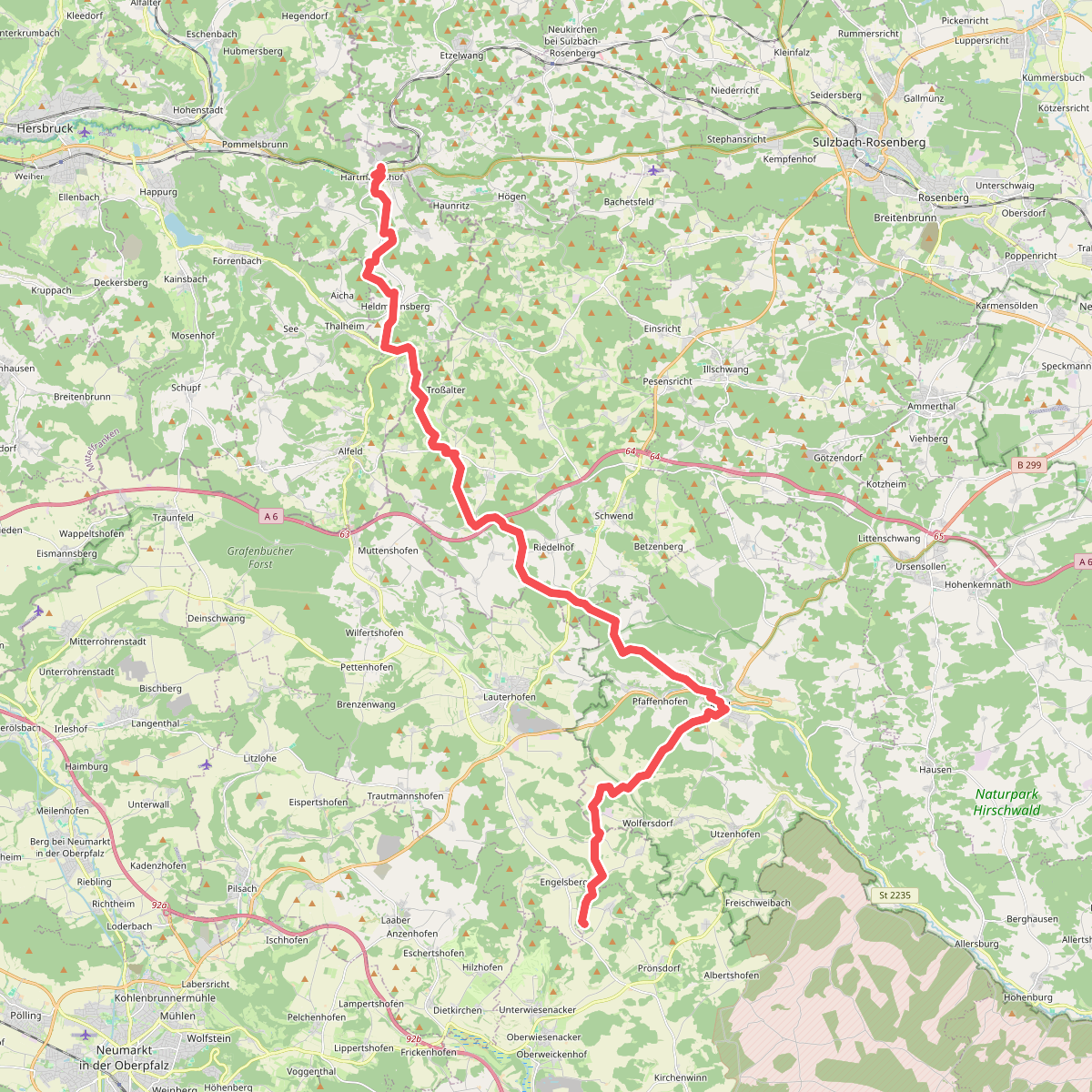
#4. Gelbkreuz (Erzweg Birgland Schlaufe)
Pommelsbrunn,Alfeld,Birgland,Kastl,Lauterhofen,Velburg
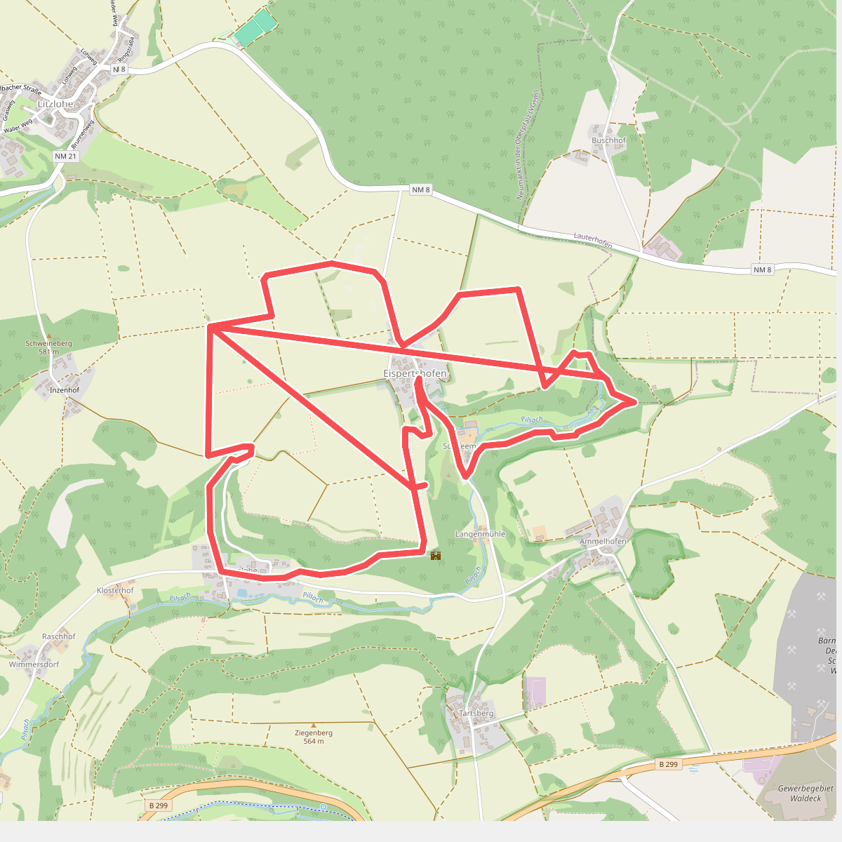
#5. Kreuz- und Felsenweg
Pilsach,Lauterhofen
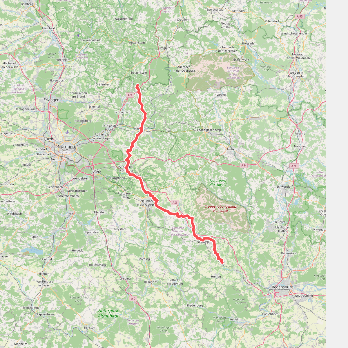
#6. Main-Donau-Weg (Jura-Linie) Teil 2
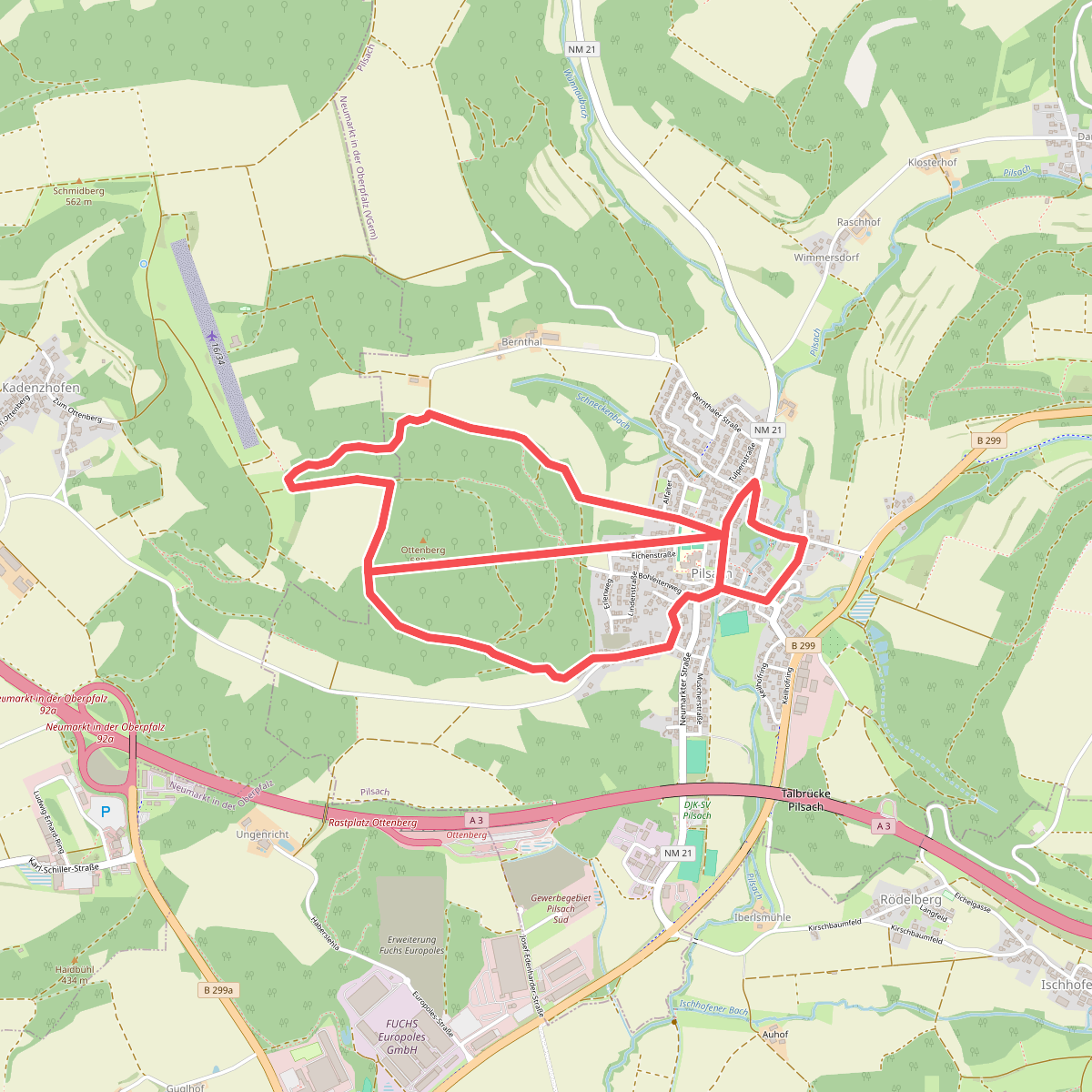
#7. Ottenbergrunde
Berg b.Neumarkt i.d.OPf.,Pilsach
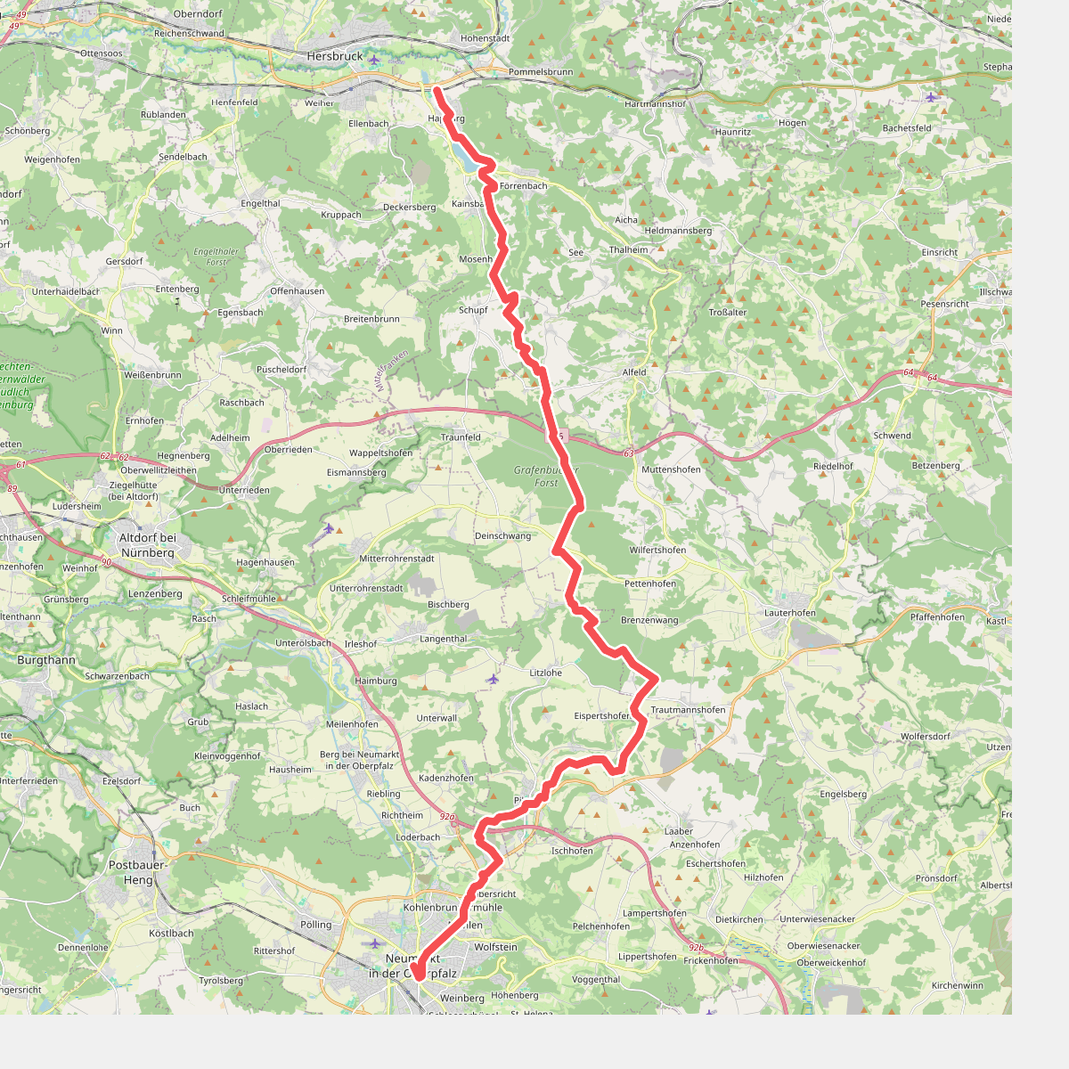
#8. Pfalzgrafenweg
Happurg,Alfeld,Lauterhofen,Pilsach,Neumarkt in der Oberpfalz
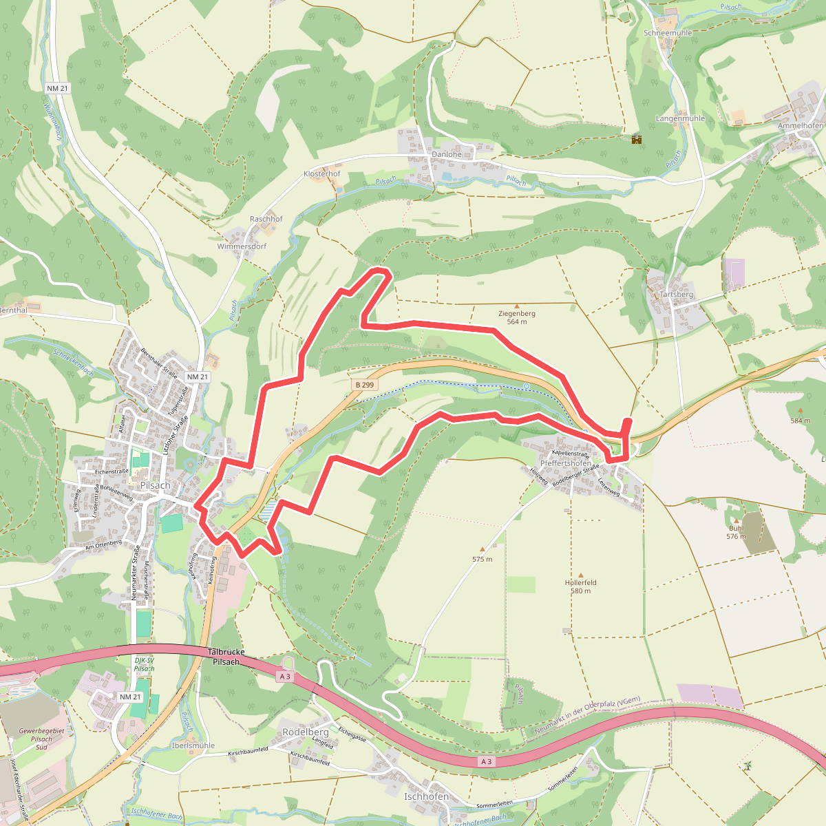
#9. Pfeffertshofener Runde
Pilsach
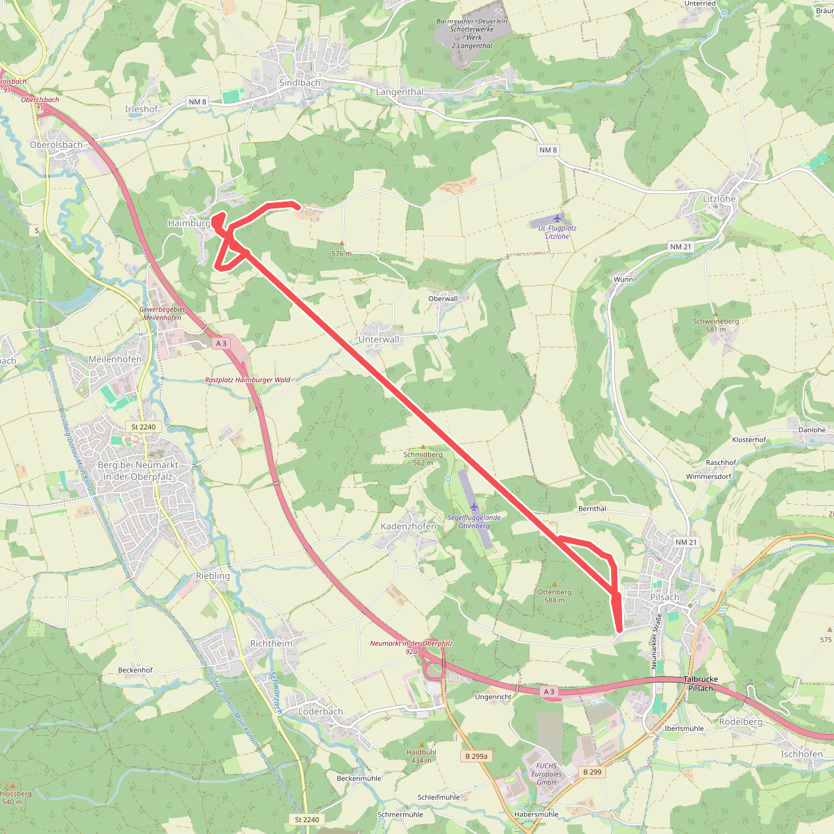
#10. Roter Balken auf weißem Grund - Name unbekannt
Pilsach,Berg b.Neumarkt i.d.OPf.
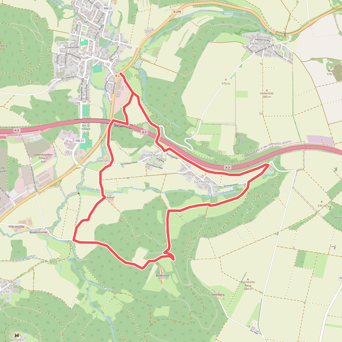
#11. Rundweg Pilsach – Bodenhof
Pilsach,Neumarkt in der Oberpfalz
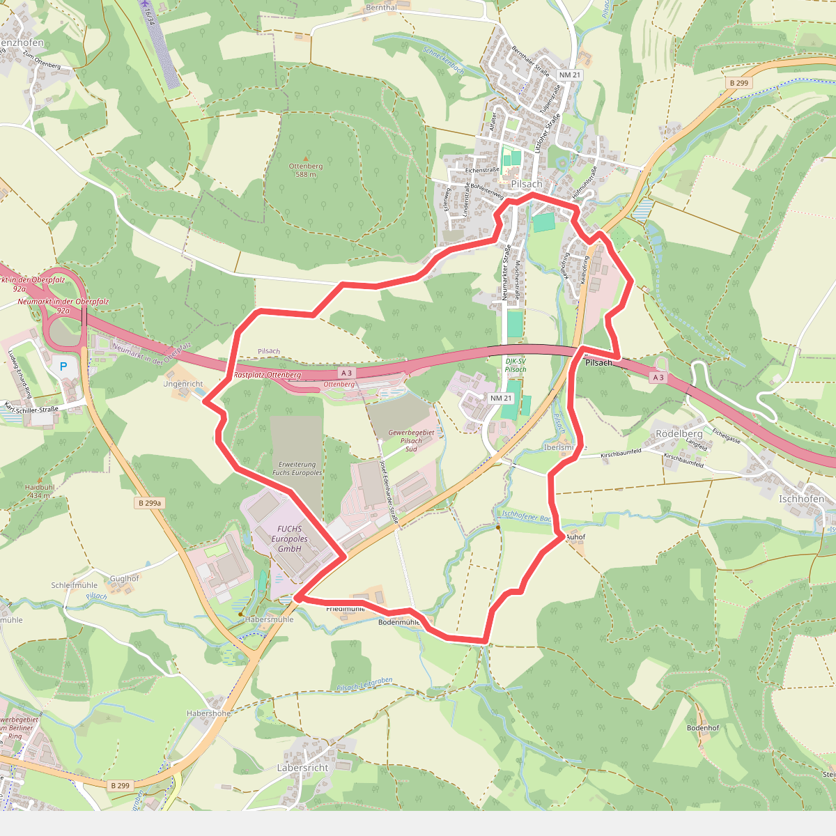
#12. Rundweg Pilsach – Bodenmühle
Neumarkt in der Oberpfalz,Pilsach



