The best hiking routes in Pieniński Park Narodowy
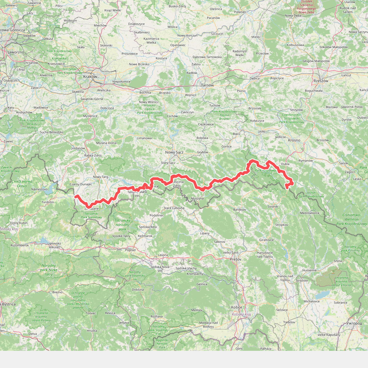
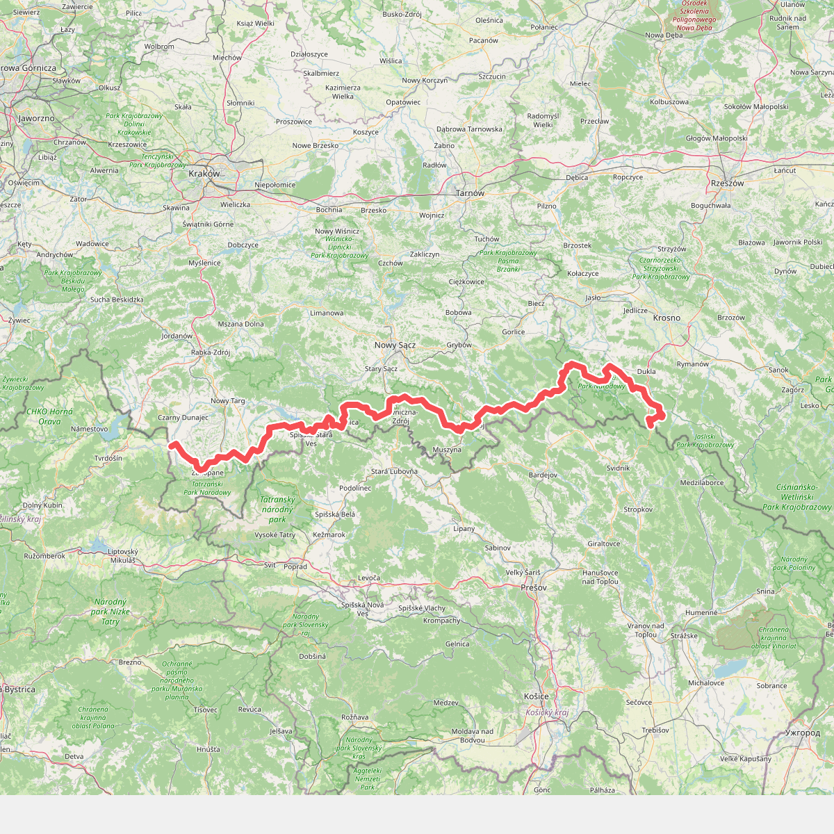
Discover the best walks in Pieniński Park Narodowy. 2 routes on the map, with descriptions, photos and GPX.
About Pieniński Park Narodowy
Pieniński Park Narodowy is defined by its dramatic limestone formations and the deep gorge of the Dunajec River. Unlike the nearby granite peaks of the Tatras, this landscape is characterized by steep, white crags rising sharply out of dense beech and fir forests. The terrain is compact but rugged, offering steep climbs on narrow, rocky paths that are often secured with metal handrails and wooden steps on the most vertical sections. Walking here means constantly moving between the shaded, humid forest floor and exposed, rocky viewpoints.
Read more
About Pieniński Park Narodowy
Pieniński Park Narodowy is defined by its dramatic limestone formations and the deep gorge of the Dunajec River. Unlike the nearby granite peaks of the Tatras, this landscape is characterized by steep, white crags rising sharply out of dense beech and fir forests. The terrain is compact but rugged, offering steep climbs on narrow, rocky paths that are often secured with metal handrails and wooden steps on the most vertical sections. Walking here means constantly moving between the shaded, humid forest floor and exposed, rocky viewpoints.
Read morePieniński Park Narodowy is defined by its dramatic limestone formations and the deep gorge of the Dunajec River. Unlike the nearby granite peaks of the Tatras, this landscape is characterized by steep, white crags rising sharply out of dense beech and fir forests. The terrain is compact but rugged, offering steep climbs on narrow, rocky paths that are often secured with metal handrails and wooden steps on the most vertical sections. Walking here means constantly moving between the shaded, humid forest floor and exposed, rocky viewpoints.
The underfoot conditions are predominantly limestone gravel, exposed tree roots, and bare rock surfaces that can become slick. The park is relatively small, meaning you are never far from a marked trail, but the elevation changes are sharp and concentrated. You will not find wide, flat valleys or open pine barrens here; instead, the paths wind through narrow ravines and lead to sheer cliff edges like those at Three Crowns or Sokolica, where the river loop is visible directly below.
Because of its accessible beauty and well-defined trail network, the main ridges and river paths can become very busy, particularly during the autumn leaf change in October. If you prefer quieter walks, the green-marked trails through the lower glades offer a gentler alternative, where the landscape opens up into traditional mountain pastures still used for sheep grazing, showing a softer side to this otherwise vertical landscape.