

The best hiking routes in Pfunderer Berge - Monti di Fundres
Discover the best walks in Pfunderer Berge - Monti di Fundres. 18 routes on the map, with descriptions, photos and GPX.
About Pfunderer Berge - Monti di Fundres
The Pfunderer Berge - Monti di Fundres present a steep, high-alpine landscape of dark paragneiss and mica schist, contrasting with the pale dolomite walls found further south. This mountain group is characterized by narrow, V-shaped valleys that lead up to high cirques, scree slopes, and sharp ridges reaching well over three thousand meters. Walkers will notice how the lower slopes are covered in dense spruce forests, which gradually give way to green larch meadows and eventually to raw rock, blockfields, and small glacial lakes like the Wildsee.
Read more
About Pfunderer Berge - Monti di Fundres
The Pfunderer Berge - Monti di Fundres present a steep, high-alpine landscape of dark paragneiss and mica schist, contrasting with the pale dolomite walls found further south. This mountain group is characterized by narrow, V-shaped valleys that lead up to high cirques, scree slopes, and sharp ridges reaching well over three thousand meters. Walkers will notice how the lower slopes are covered in dense spruce forests, which gradually give way to green larch meadows and eventually to raw rock, blockfields, and small glacial lakes like the Wildsee.
Read moreThe Pfunderer Berge - Monti di Fundres present a steep, high-alpine landscape of dark paragneiss and mica schist, contrasting with the pale dolomite walls found further south. This mountain group is characterized by narrow, V-shaped valleys that lead up to high cirques, scree slopes, and sharp ridges reaching well over three thousand meters. Walkers will notice how the lower slopes are covered in dense spruce forests, which gradually give way to green larch meadows and eventually to raw rock, blockfields, and small glacial lakes like the Wildsee.
Underfoot, the terrain is demanding and rustic. Paths are mostly narrow, rough dirt tracks, often crossing loose slate scree, wet alpine bogs, and steep grassy slopes where surefootedness is essential. Unlike more developed areas, the trails here are often rugged and less manicured, requiring attention to waymarking on painted rocks. Wayfarers should expect steep climbs with significant elevation gain directly from the valley floors, as there are very few cable cars to ease the ascent.
In July and August, the high passes are generally clear of winter snow, revealing alpine turf filled with specialized high-altitude flora. The area is generally quieter than the neighboring main alpine ridges, offering a more solitary walking experience focused on traditional farming hamlets and working alpine pastures. There are no wide, flat valley promenades here; instead, the landscape demands steady climbing through a vertical succession of distinct vegetation zones.
Hiking routes in Pfunderer Berge - Monti di Fundres (18)
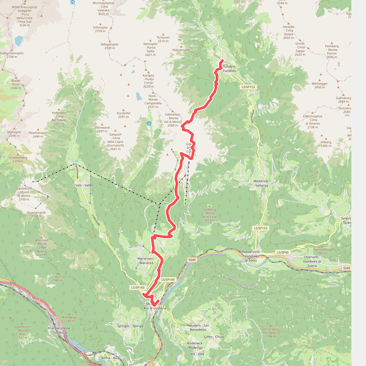
#1. 12 - Mühlbach => Pfunders
Mühlbach - Rio di Pusteria,Vintl - Vandoies
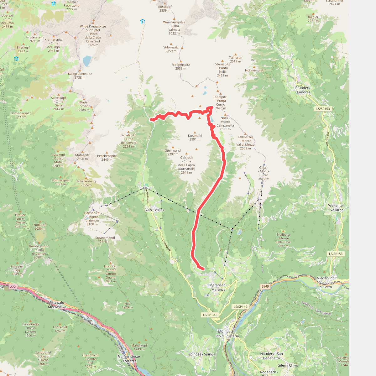
#2. 15 - 6 => 17
Mühlbach - Rio di Pusteria
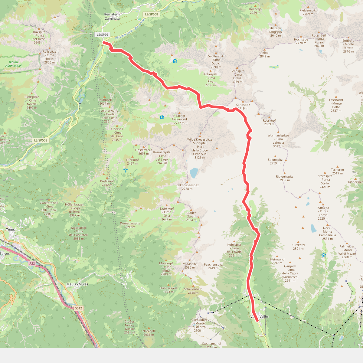
#3. 17 - Vals => Fußendraß
Mühlbach - Rio di Pusteria,Pfitsch - Val di Vizze
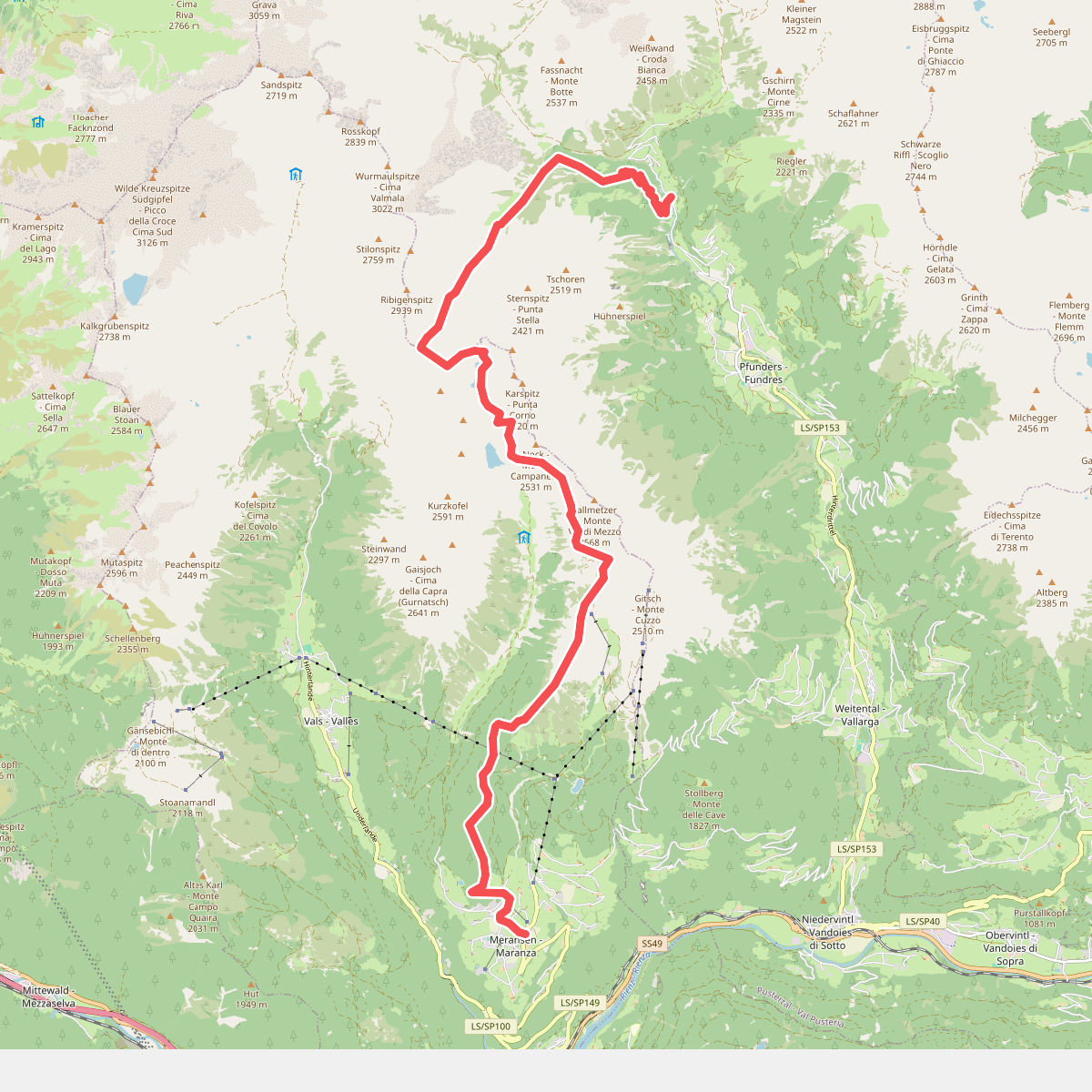
#4. 6 - Meransen => Pfunders
Mühlbach - Rio di Pusteria,Vintl - Vandoies
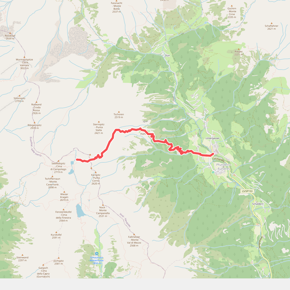
#5. 6A - 6 => Pfunders
Vintl - Vandoies,Mühlbach - Rio di Pusteria
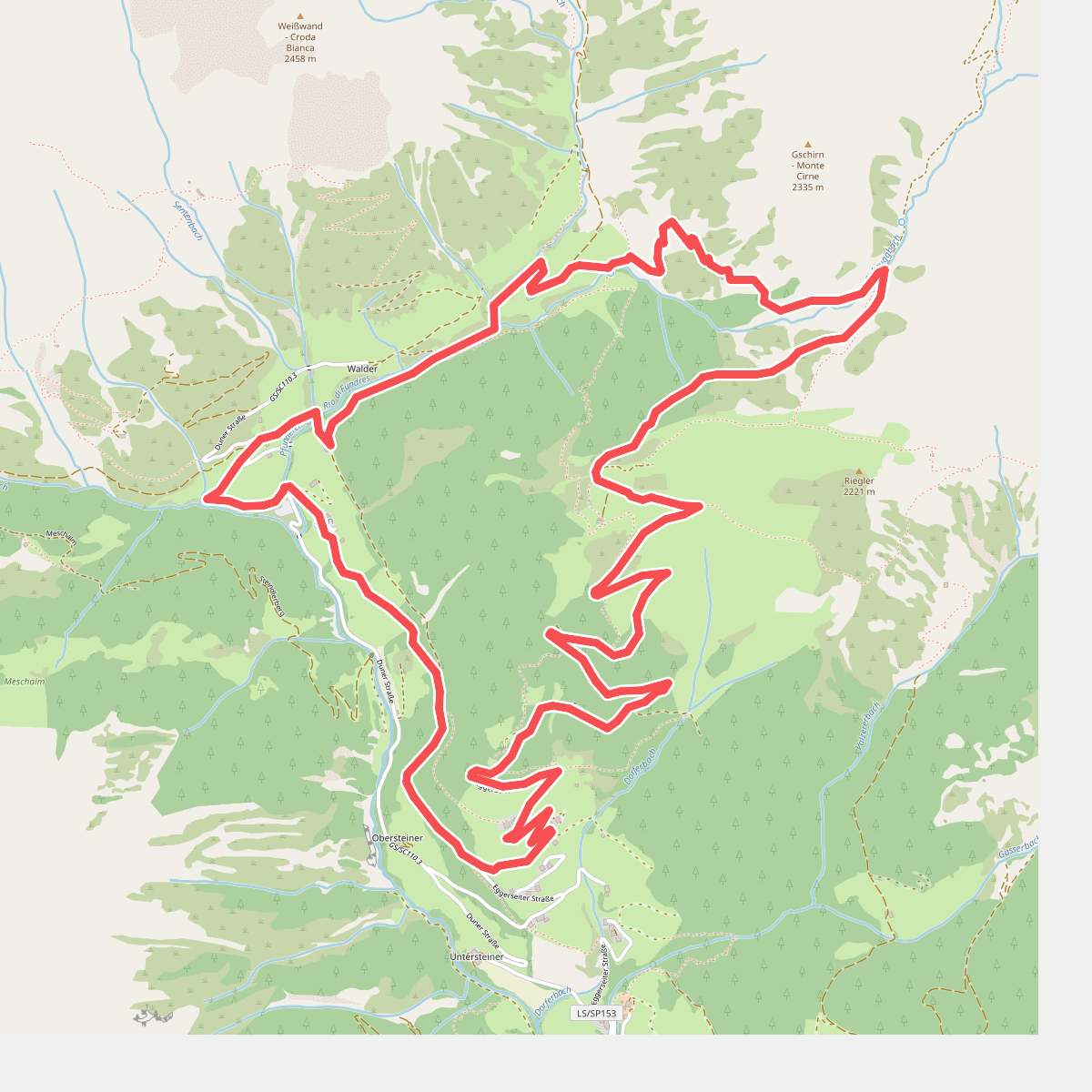
#6. Almenrundweg
Vintl - Vandoies
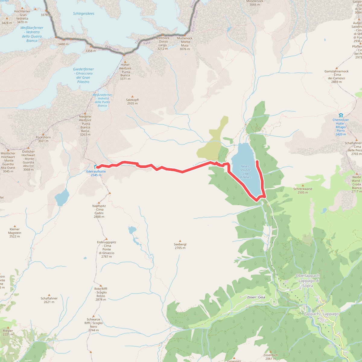
#7. Edelrauthütte
Mühlwald - Selva dei Molini
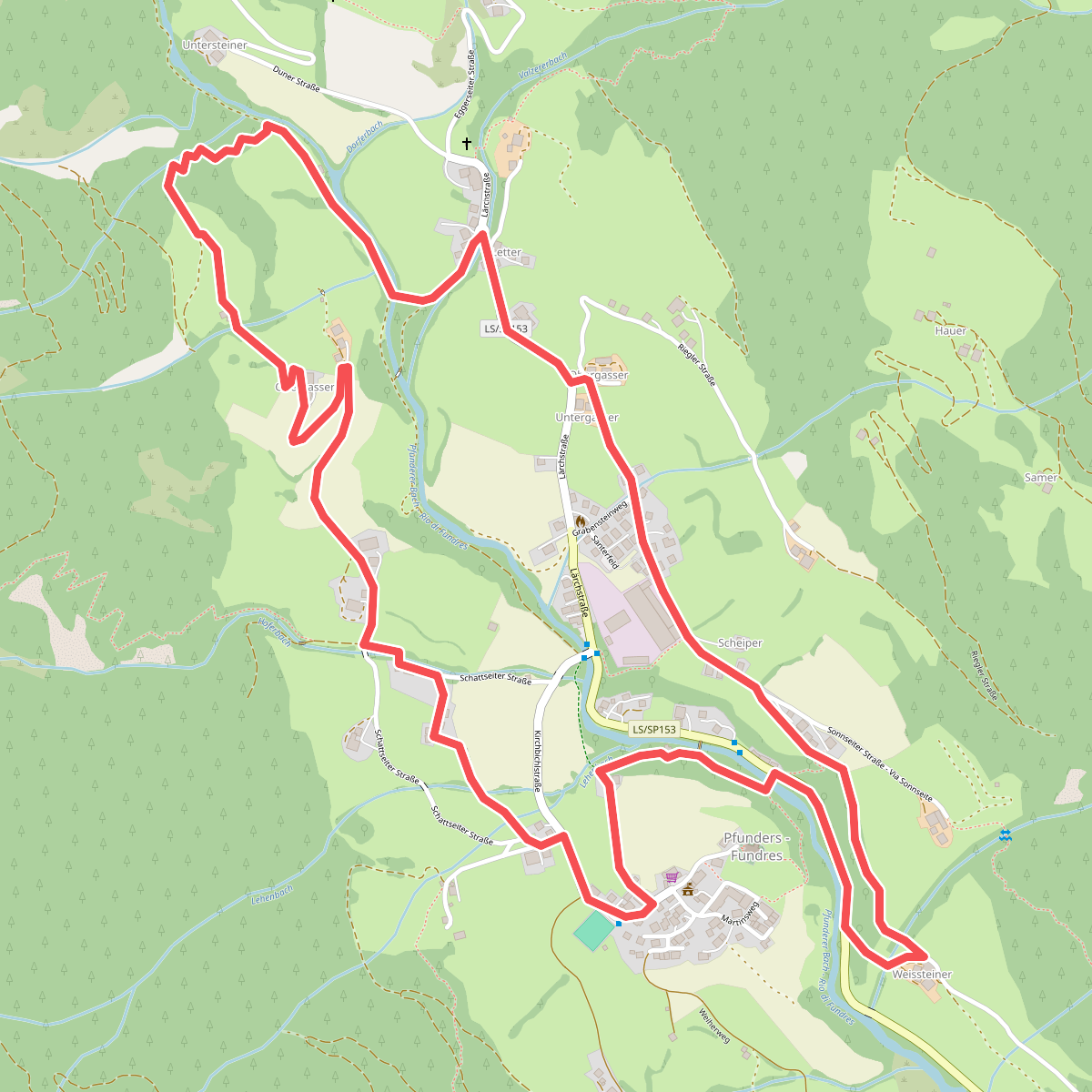
#8. Höfeweg
Vintl - Vandoies
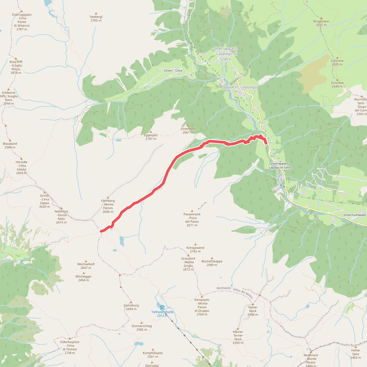
#9. Passental
Mühlwald - Selva dei Molini
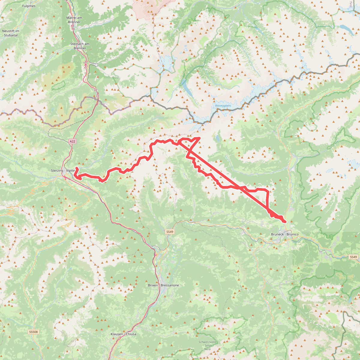
#10. Pfunderer Höhenweg - Alta Via di Fundres
Pfitsch - Val di Vizze,Freienfeld - Campo di Trens,Mühlbach - Rio di Pusteria,Vintl - Vandoies,Mühlwald - Selva dei Molini,Terenten - Terento,Kiens - Chienes,Pfalzen - Falzes,Bruneck - Brunico
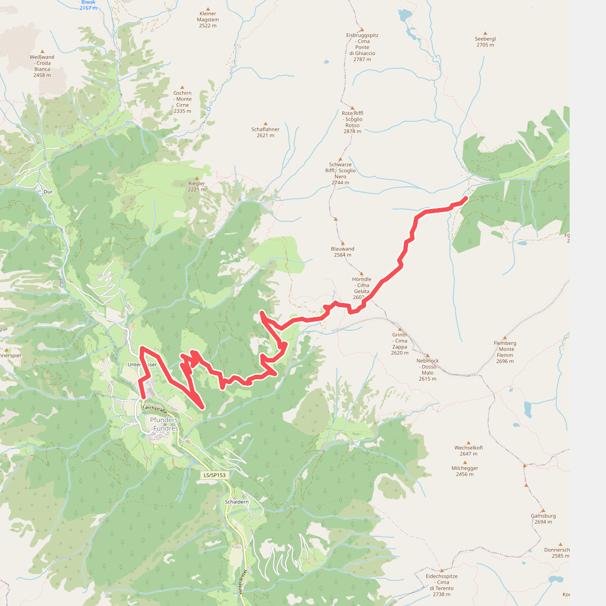
#11. Rieglerjoch
Vintl - Vandoies,Mühlwald - Selva dei Molini
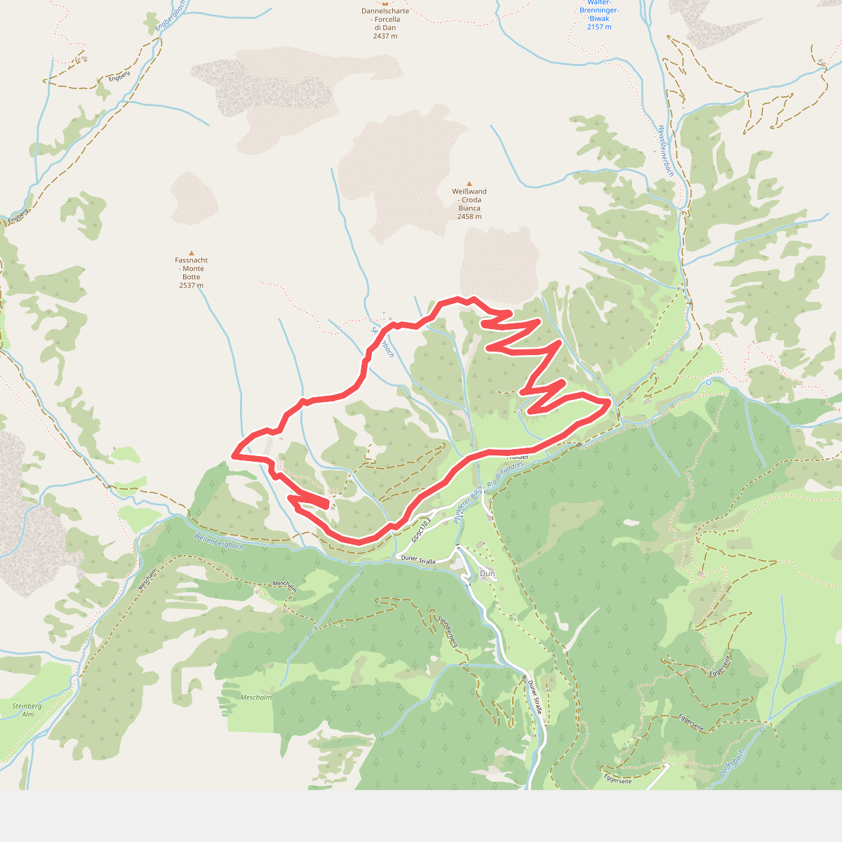
#12. Sente Rundweg
Vintl - Vandoies



