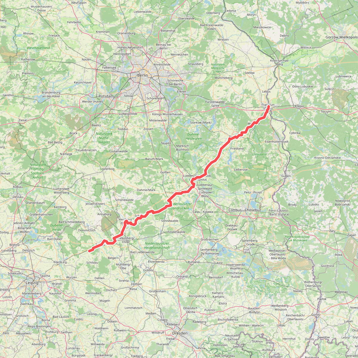
The best hiking routes in Peitzer Teichlandschaft mit Hammergraben
Discover the best walks in Peitzer Teichlandschaft mit Hammergraben. 1 routes on the map, with descriptions, photos and GPX.
Managed by Land Brandenburg
About Peitzer Teichlandschaft mit Hammergraben
The Peitzer Teichlandschaft mit Hammergraben is a highly structured, flat wetland dominated by a vast network of shallow, man-made fish ponds and the historic Hammergraben canal. Unlike natural lake districts, this landscape is defined by straight earthen dikes, narrow dams, and functional water-regulating sluices. Walkers will find a terrain shaped entirely by centuries of carp farming, where wide reed beds and open water surfaces are constantly framed by working forestry tracks and embankments.
Read more
About Peitzer Teichlandschaft mit Hammergraben
The Peitzer Teichlandschaft mit Hammergraben is a highly structured, flat wetland dominated by a vast network of shallow, man-made fish ponds and the historic Hammergraben canal. Unlike natural lake districts, this landscape is defined by straight earthen dikes, narrow dams, and functional water-regulating sluices. Walkers will find a terrain shaped entirely by centuries of carp farming, where wide reed beds and open water surfaces are constantly framed by working forestry tracks and embankments.
Read moreThe Peitzer Teichlandschaft mit Hammergraben is a highly structured, flat wetland dominated by a vast network of shallow, man-made fish ponds and the historic Hammergraben canal. Unlike natural lake districts, this landscape is defined by straight earthen dikes, narrow dams, and functional water-regulating sluices. Walkers will find a terrain shaped entirely by centuries of carp farming, where wide reed beds and open water surfaces are constantly framed by working forestry tracks and embankments.
Underfoot, the paths are mostly wide, flat gravel tracks and dirt service roads that run along the dikes, offering solid footing but little elevation change. There are no boardwalks or rugged forest trails here. Instead, you walk on exposed, unshaded paths between the ponds, where the vegetation is limited to rows of oaks planted to stabilize the banks, alongside dense stands of reeds.
In November, the area undergoes a visible shift during the traditional fish harvest, when several ponds are drained, exposing muddy beds that attract large numbers of migratory waterbirds. This is a working aquaculture landscape rather than a wild forest, meaning you will regularly encounter functional gravel roads, water management infrastructure, and open views across the shallow basins.