The best hiking routes in Parque Natural Sierra de Baza
Discover the best walks in Parque Natural Sierra de Baza. 14 routes on the map, with descriptions, photos and GPX.
About Parque Natural Sierra de Baza
Parque Natural Sierra de Baza rises abruptly from the surrounding semi-arid basins of Granada, presenting a stark contrast of dry, limestone-dominated terrain. Unlike the wetter coastal ranges of southern Spain, this limestone massif is characterized by its arid lower slopes, which gradually give way to dense pine forests and high-altitude, wind-swept scrubland. Walkers will find a landscape shaped by historical mining and sheep grazing, where bare grey rock faces meet patches of dark green reforestation. Underfoot, the terrain is predominantly stony, with loose gravel tracks and rough limestone paths requiring sturdy footwear.
Read more
About Parque Natural Sierra de Baza
Parque Natural Sierra de Baza rises abruptly from the surrounding semi-arid basins of Granada, presenting a stark contrast of dry, limestone-dominated terrain. Unlike the wetter coastal ranges of southern Spain, this limestone massif is characterized by its arid lower slopes, which gradually give way to dense pine forests and high-altitude, wind-swept scrubland. Walkers will find a landscape shaped by historical mining and sheep grazing, where bare grey rock faces meet patches of dark green reforestation. Underfoot, the terrain is predominantly stony, with loose gravel tracks and rough limestone paths requiring sturdy footwear.
Read moreParque Natural Sierra de Baza rises abruptly from the surrounding semi-arid basins of Granada, presenting a stark contrast of dry, limestone-dominated terrain. Unlike the wetter coastal ranges of southern Spain, this limestone massif is characterized by its arid lower slopes, which gradually give way to dense pine forests and high-altitude, wind-swept scrubland. Walkers will find a landscape shaped by historical mining and sheep grazing, where bare grey rock faces meet patches of dark green reforestation. Underfoot, the terrain is predominantly stony, with loose gravel tracks and rough limestone paths requiring sturdy footwear.
The park is divided by its elevation. The lower altitudes feature dry, dusty ramblas (dry riverbeds) and sparse Mediterranean scrub, while the higher zones, particularly around the peaks of Santa Bárbara, support native black pine and high-mountain juniper. You will notice the transition from dry, sandy soil to rocky, exposed karst formations as you climb. Water is scarce on the surface, meaning you will not find lush green valleys or rushing streams, but rather deep, dry ravines and abandoned stone ruins of old mining settlements.
While the main dirt roads are wide and easy to follow, the smaller trails are often faint, marked only by stone cairns over rocky ground. The area is generally quiet, though the vicinity of the Narváez visitor centre and the higher summits can see more foot traffic. In late spring, particularly around May, the high-altitude scrub produces brief, colorful blooms, whereas the late autumn months highlight the stark, grey geometry of the limestone crags against the evergreen pines.
Hiking routes in Parque Natural Sierra de Baza (14)
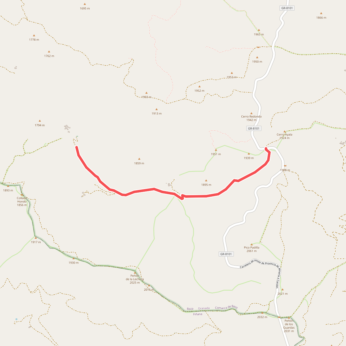
#1. Álamos Centenarios
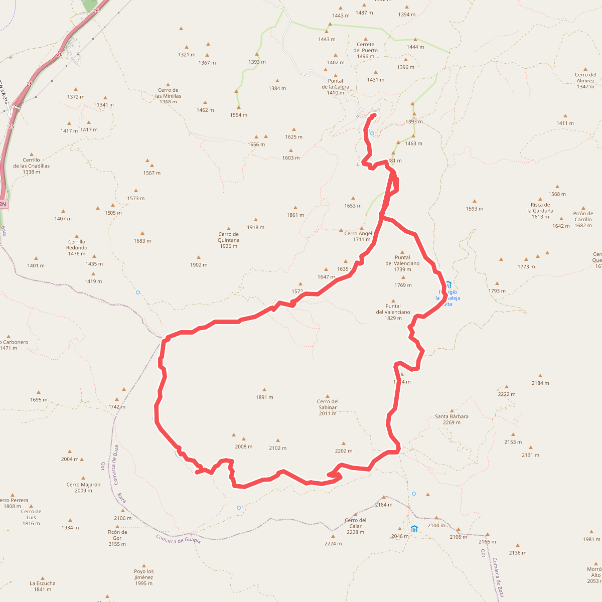
#2. Barranco de la Fonfría y Pino de la Señora
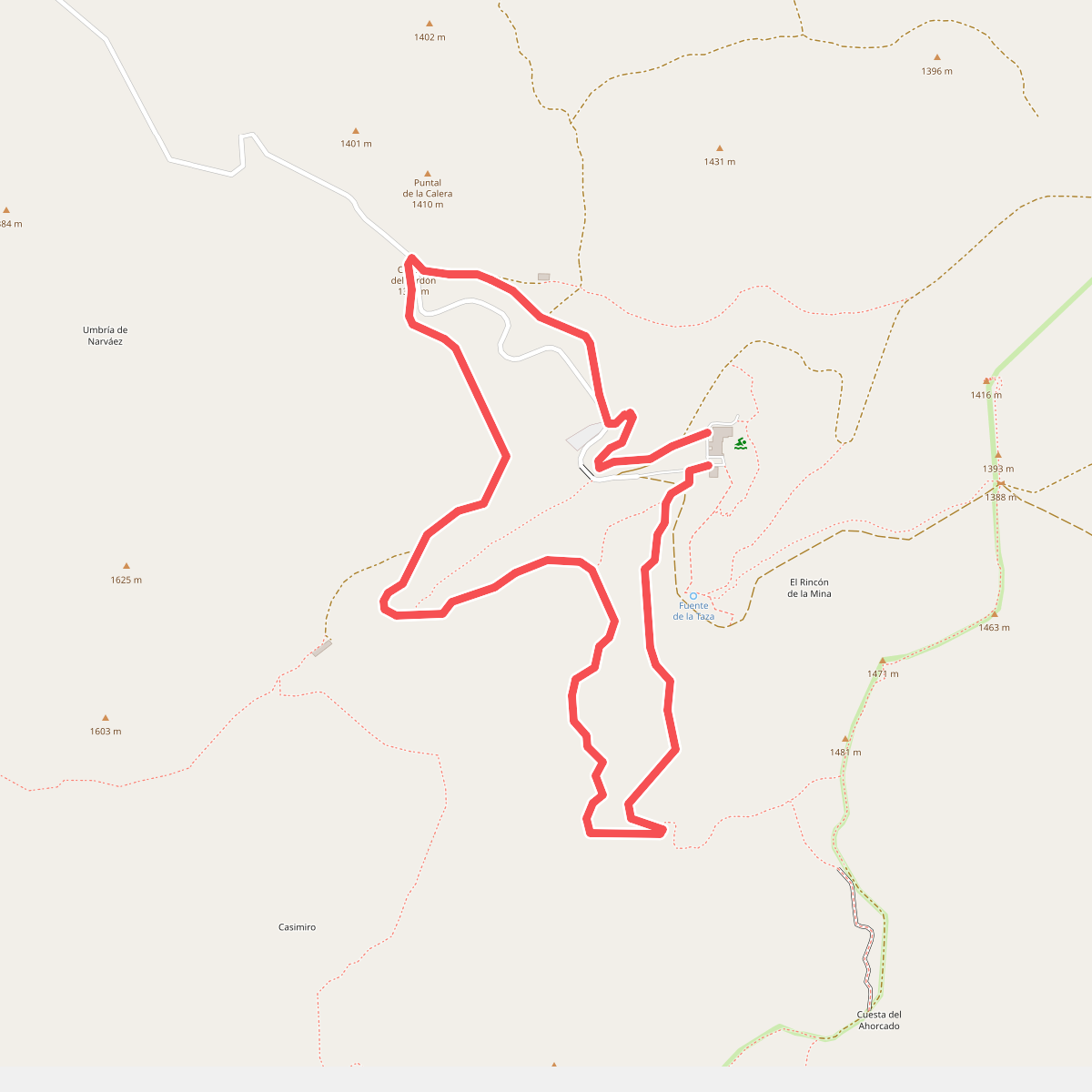
#3. Cortijo de Casimiro
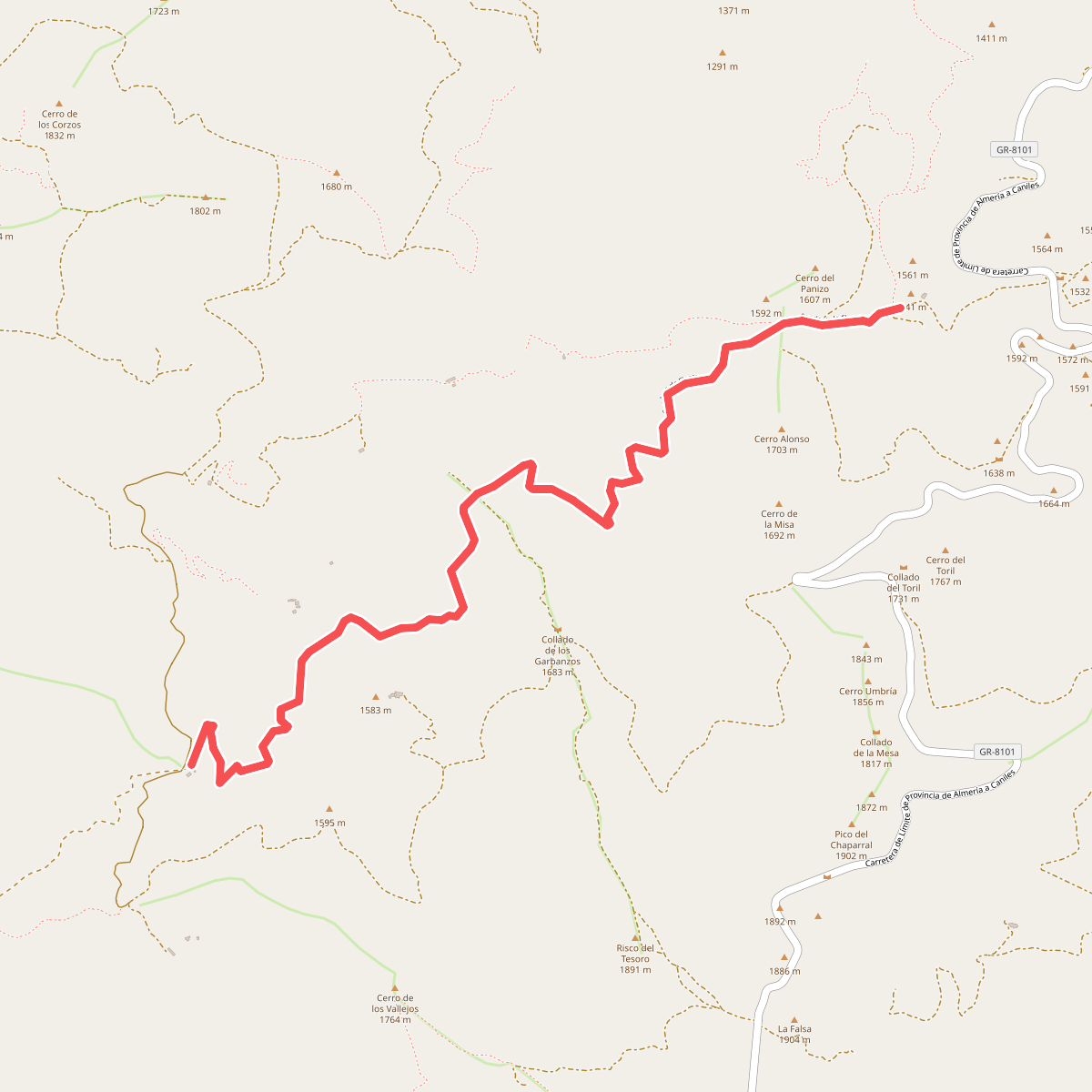
#4. Floranes - Arredondo
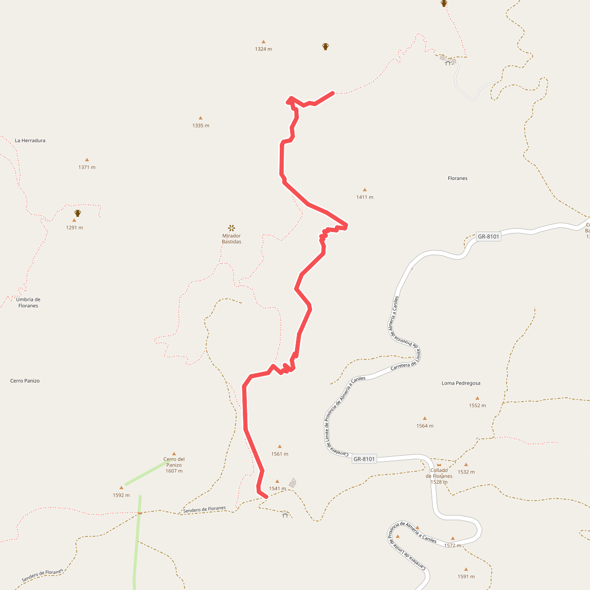
#5. Floranes - Cerro Panizo
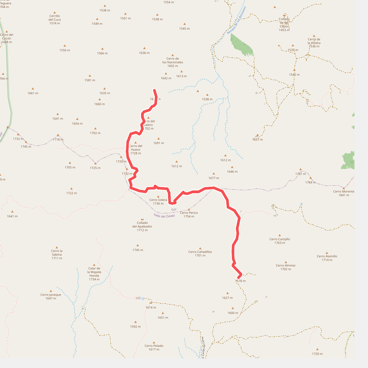
#6. Los Blanquizares
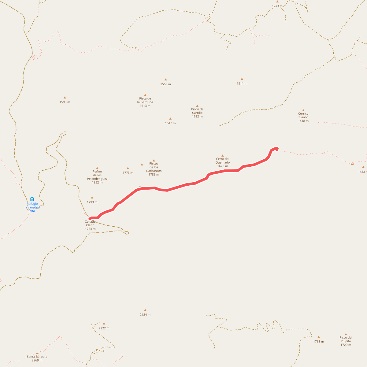
#7. Los Neveros
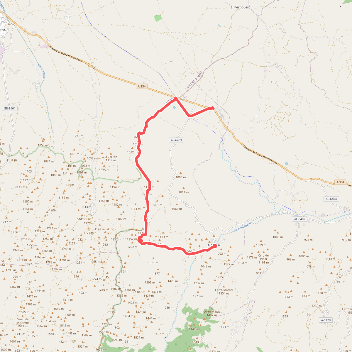
#8. Los Rincones
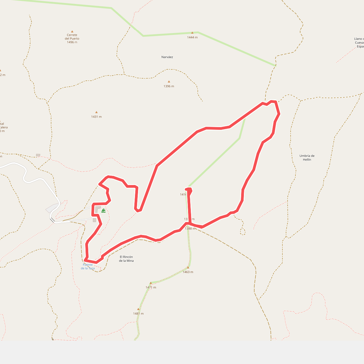
#9. Mirador de Narváez
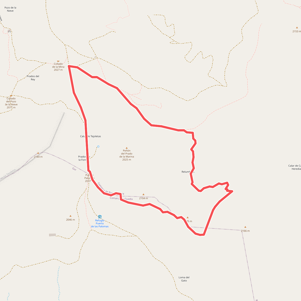
#10. Prados del Rey - Filón Violeta
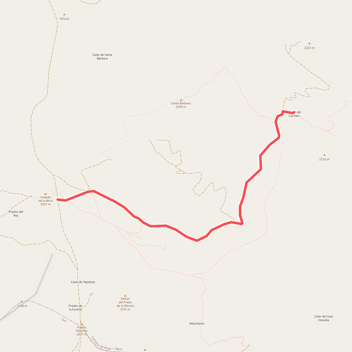
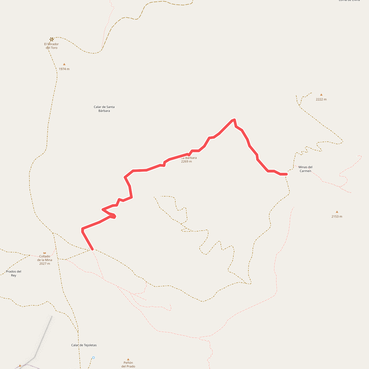
#11. Prados del Rey - Minas del Carmen