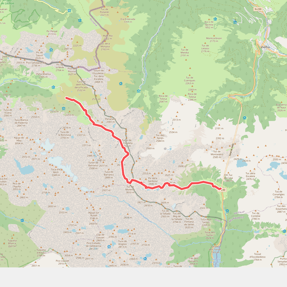
The best hiking routes in Parque Natural Posets-Maladeta
Discover the best walks in Parque Natural Posets-Maladeta. 43 routes on the map, with descriptions, photos and GPX.
About Parque Natural Posets-Maladeta
Parque Natural Posets-Maladeta is defined by its extreme elevation and massive granite barriers, containing the highest concentration of three-thousand-metre peaks in the Pyrenees. Unlike gentler mid-elevation ranges, this is a landscape of stark rock walls, active glaciers, and high-altitude scree fields. Walkers must choose between the deep, forested valley floors where dirt tracks run alongside rushing meltwater rivers, and the steep, exposed paths that climb into barren granite cirques.
Read more
About Parque Natural Posets-Maladeta
Parque Natural Posets-Maladeta is defined by its extreme elevation and massive granite barriers, containing the highest concentration of three-thousand-metre peaks in the Pyrenees. Unlike gentler mid-elevation ranges, this is a landscape of stark rock walls, active glaciers, and high-altitude scree fields. Walkers must choose between the deep, forested valley floors where dirt tracks run alongside rushing meltwater rivers, and the steep, exposed paths that climb into barren granite cirques.
Read moreParque Natural Posets-Maladeta is defined by its extreme elevation and massive granite barriers, containing the highest concentration of three-thousand-metre peaks in the Pyrenees. Unlike gentler mid-elevation ranges, this is a landscape of stark rock walls, active glaciers, and high-altitude scree fields. Walkers must choose between the deep, forested valley floors where dirt tracks run alongside rushing meltwater rivers, and the steep, exposed paths that climb into barren granite cirques.
Underfoot, the terrain changes rapidly from soft pine needle paths in the lower valleys to rough, unstable stone chutes and massive granite slabs higher up. The lower glaciated valleys, such as those of Benasque and Estós, feature well-defined trails that cross alpine meadows and pass through beech forests. Higher up, the paths disappear into cairn-marked routes across boulder fields where solid footing requires constant attention and route-finding skills are essential.
Water dominates the lower elevations in the form of cascading waterfalls and deep, cold tarns known locally as ibones. In July and August, these high lakes emerge from the winter snow, offering clear destinations for day walks. While the valley trailheads can be busy with walkers heading toward the main summits like Aneto or Posets, choosing side valleys or higher, less-frequented passes leads to much quieter, rugged terrain where the scale of the high Pyrenees is fully apparent.
Hiking routes in Parque Natural Posets-Maladeta (43)
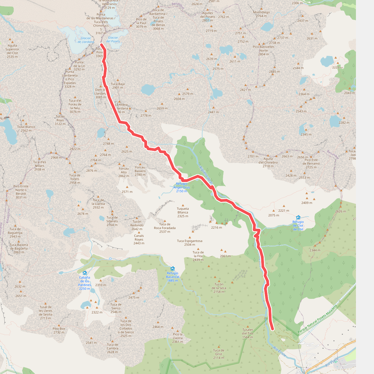
#1. Ascensión al Posets
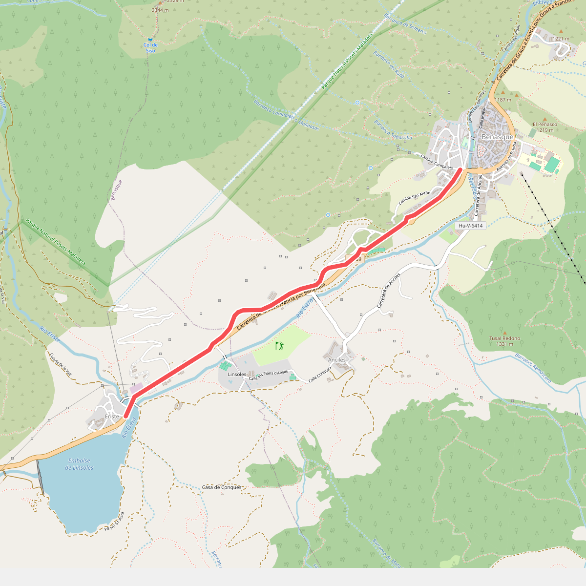
#2. Benasque – Ermita de San José – Eriste
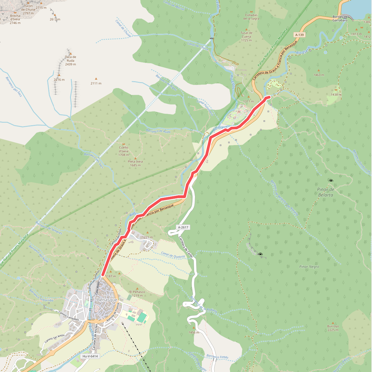
#3. Camino de La Ball
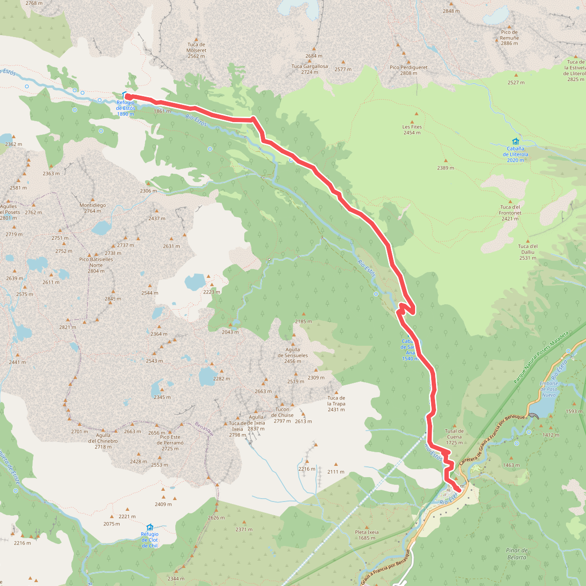
#4. Camino de la Coma
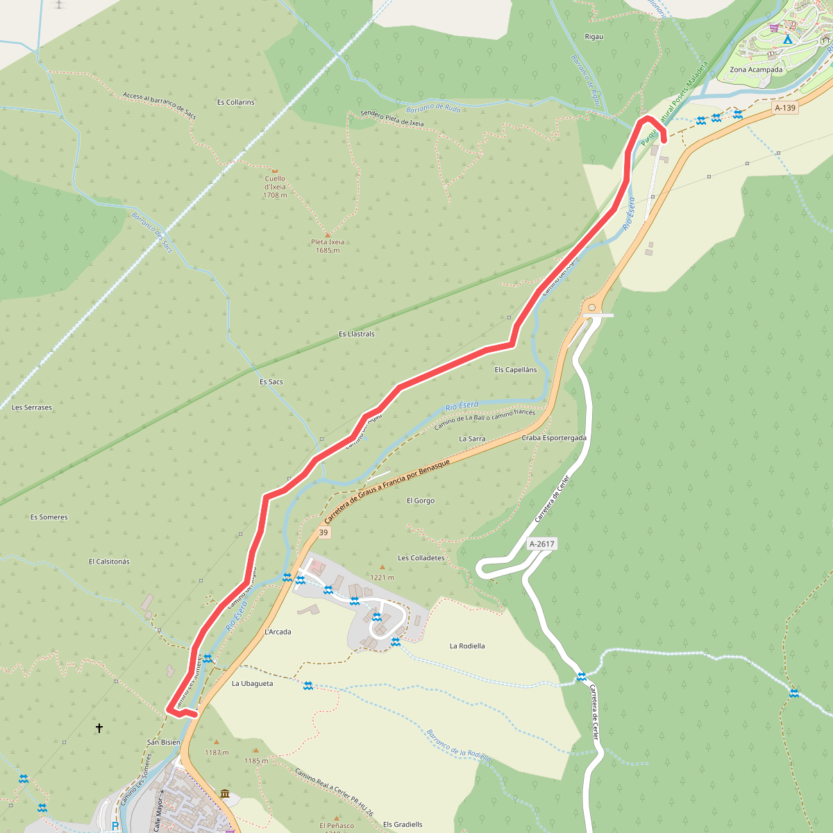
#5. Camino del Rigau
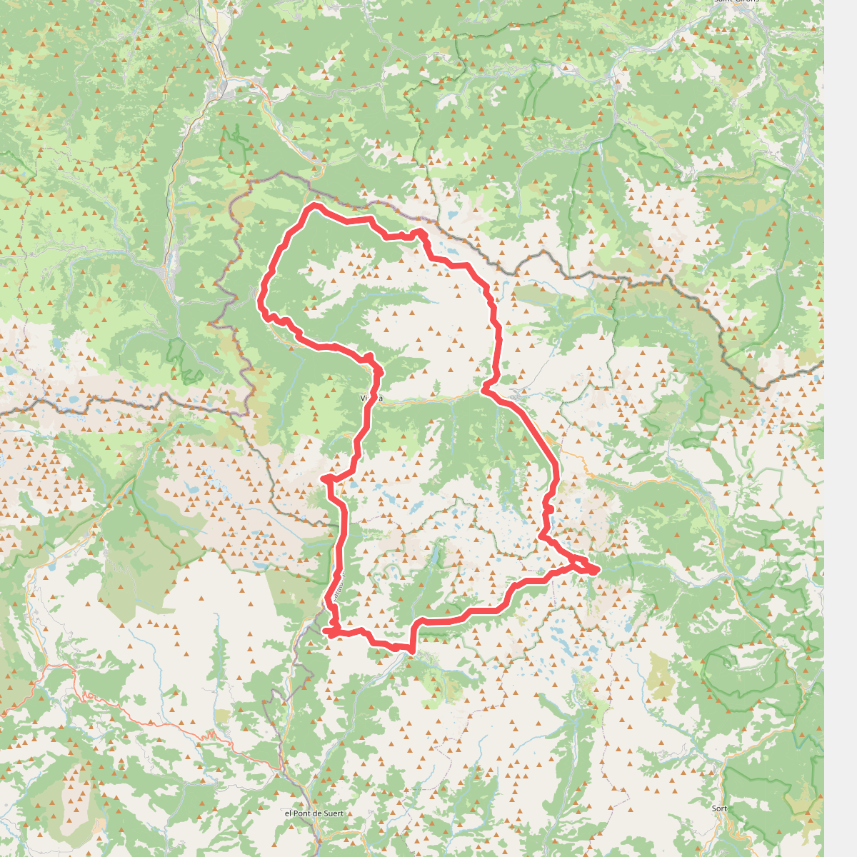
#6. el Gran Bucle
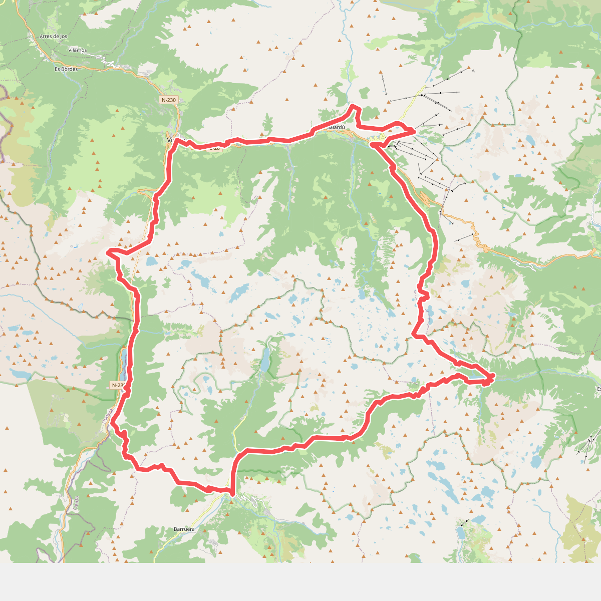
#7. Encantats
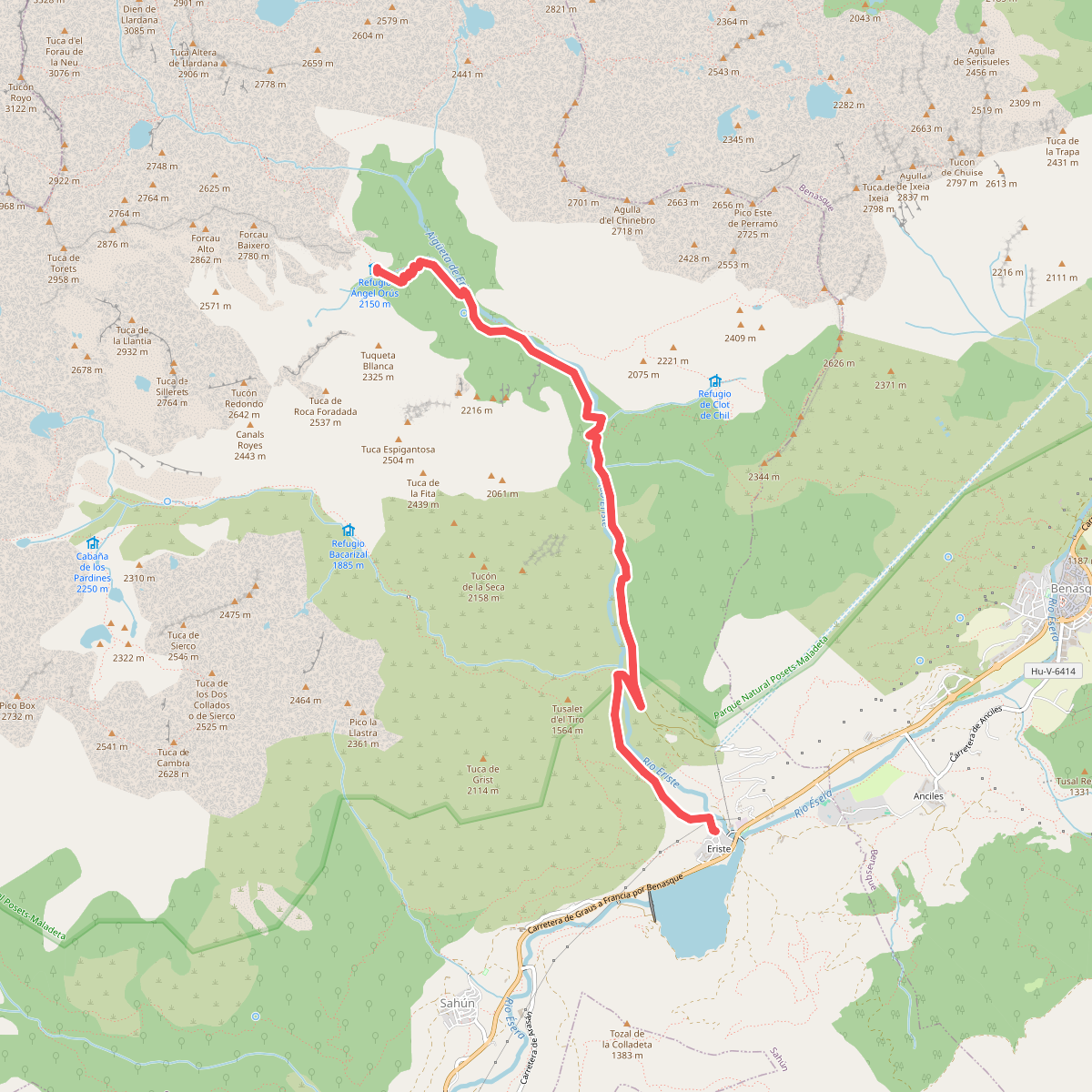
#8. Eriste – Refugio Ángel Orús o El Forcau
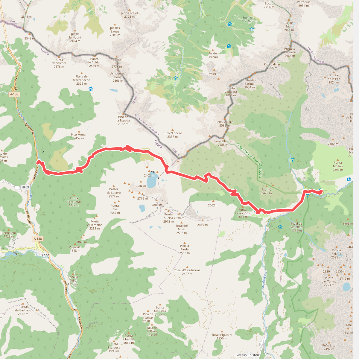
#9. Étape 18
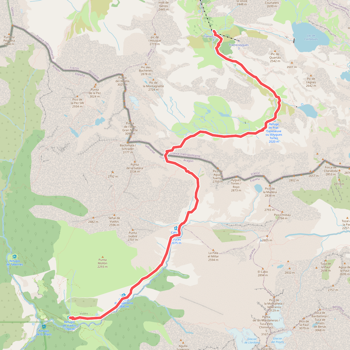
#10. Étape 19
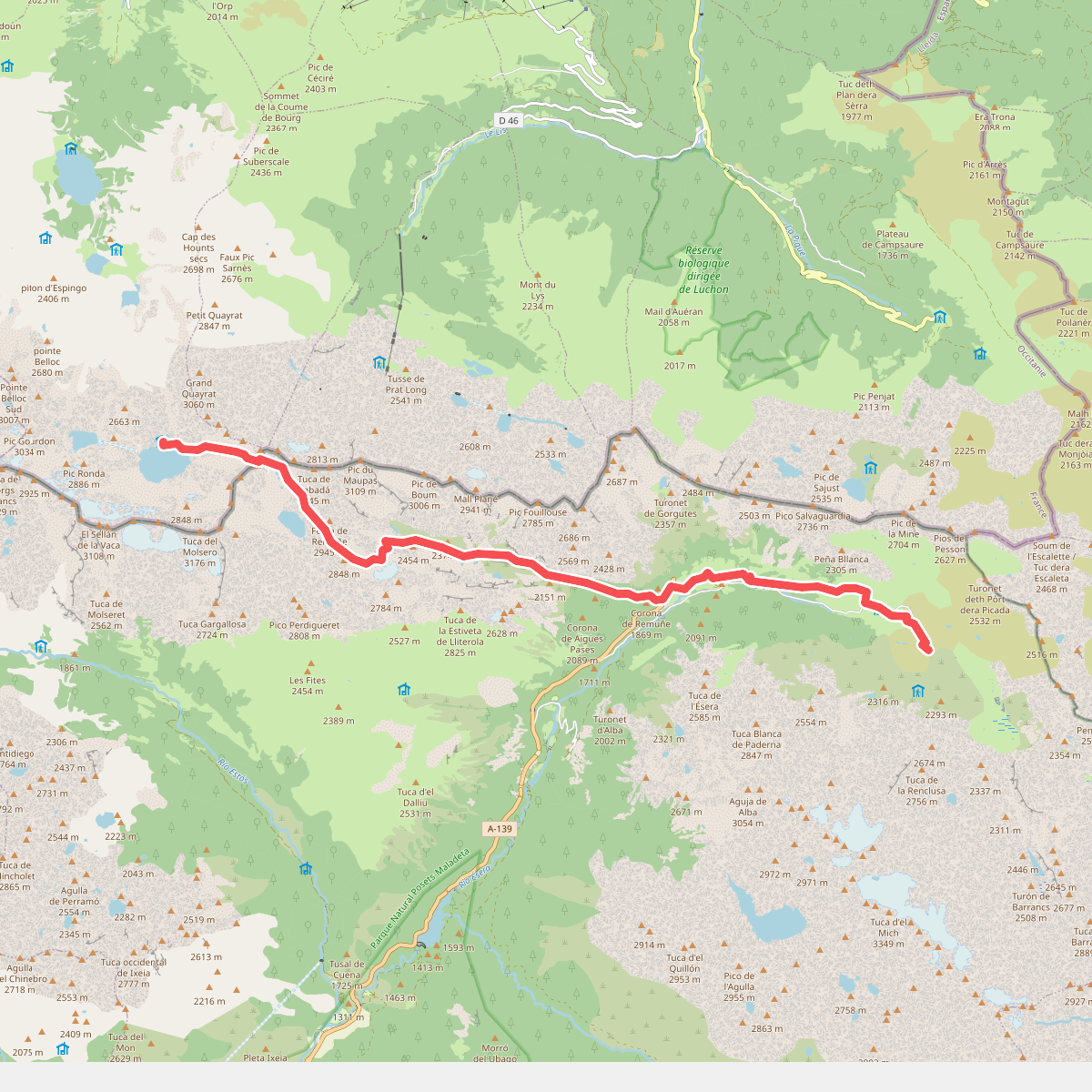
#11. Étape 21