The best hiking routes in Parque Natural Montes Obarenes-San Zadornil
Discover the best walks in Parque Natural Montes Obarenes-San Zadornil. 36 routes on the map, with descriptions, photos and GPX.
Managed by Junta de Castilla y León
About Parque Natural Montes Obarenes-San Zadornil
Parque Natural Montes Obarenes-San Zadornil marks the transition where the damp, green Atlantic influence meets the dry, Mediterranean interior of northern Spain. This geographical collision creates two distinct walking environments within a relatively small area. In the northern San Zadornil sector, you will walk beneath dense canopies of beech, oak, and Scots pine, where the forest floor is often soft with damp leaf litter. To the south, the landscape changes abruptly into dry, limestone gorges and scrubby Mediterranean hillsides dominated by holm oak and aromatic shrubs.
Read more
About Parque Natural Montes Obarenes-San Zadornil
Parque Natural Montes Obarenes-San Zadornil marks the transition where the damp, green Atlantic influence meets the dry, Mediterranean interior of northern Spain. This geographical collision creates two distinct walking environments within a relatively small area. In the northern San Zadornil sector, you will walk beneath dense canopies of beech, oak, and Scots pine, where the forest floor is often soft with damp leaf litter. To the south, the landscape changes abruptly into dry, limestone gorges and scrubby Mediterranean hillsides dominated by holm oak and aromatic shrubs.
Read moreParque Natural Montes Obarenes-San Zadornil marks the transition where the damp, green Atlantic influence meets the dry, Mediterranean interior of northern Spain. This geographical collision creates two distinct walking environments within a relatively small area. In the northern San Zadornil sector, you will walk beneath dense canopies of beech, oak, and Scots pine, where the forest floor is often soft with damp leaf litter. To the south, the landscape changes abruptly into dry, limestone gorges and scrubby Mediterranean hillsides dominated by holm oak and aromatic shrubs.
The underfoot conditions vary significantly depending on which side of the park you choose. The northern forested tracks are mostly clay-based earth paths and forestry tracks that can become sticky, while the southern gorge routes, such as those cutting through the limestone walls near Frías, follow stony, gravelly trails that require sturdy footwear. You will not find high alpine peaks here; instead, the terrain is characterized by long, saw-toothed limestone ridges and deep, sheer-sided canyons carved by the Ebro River and its tributaries.
In October, the contrast between the two zones is at its sharpest, as the beech forests of the north turn deep orange while the southern limestone cliffs remain grey and sun-baked. The park is well-served by a network of marked trails, with the busier paths concentrated around the dramatic gorge of Sobrón and the medieval town of Frías, while the deeper forest tracks of the interior offer a much quieter walking experience.
Hiking routes in Parque Natural Montes Obarenes-San Zadornil (36)
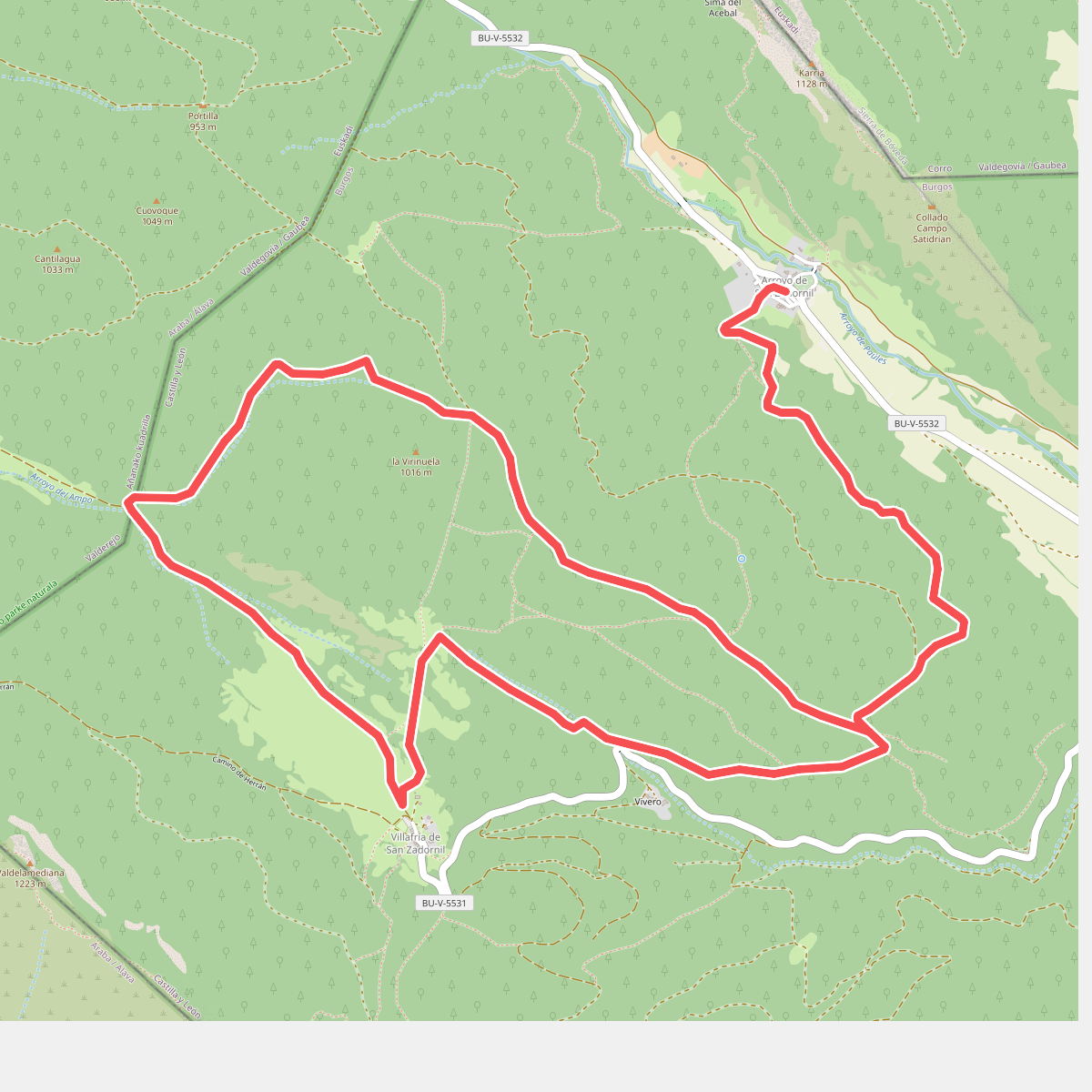
#1. Arroyo de San Zadornil
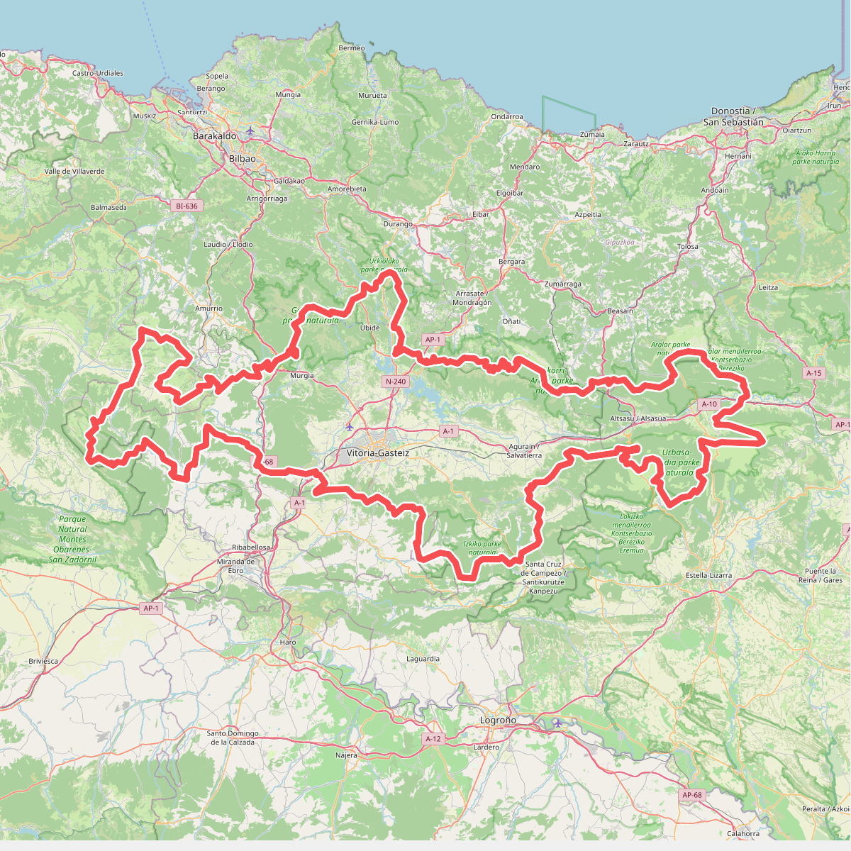
#2. Artzaintza naturbidea
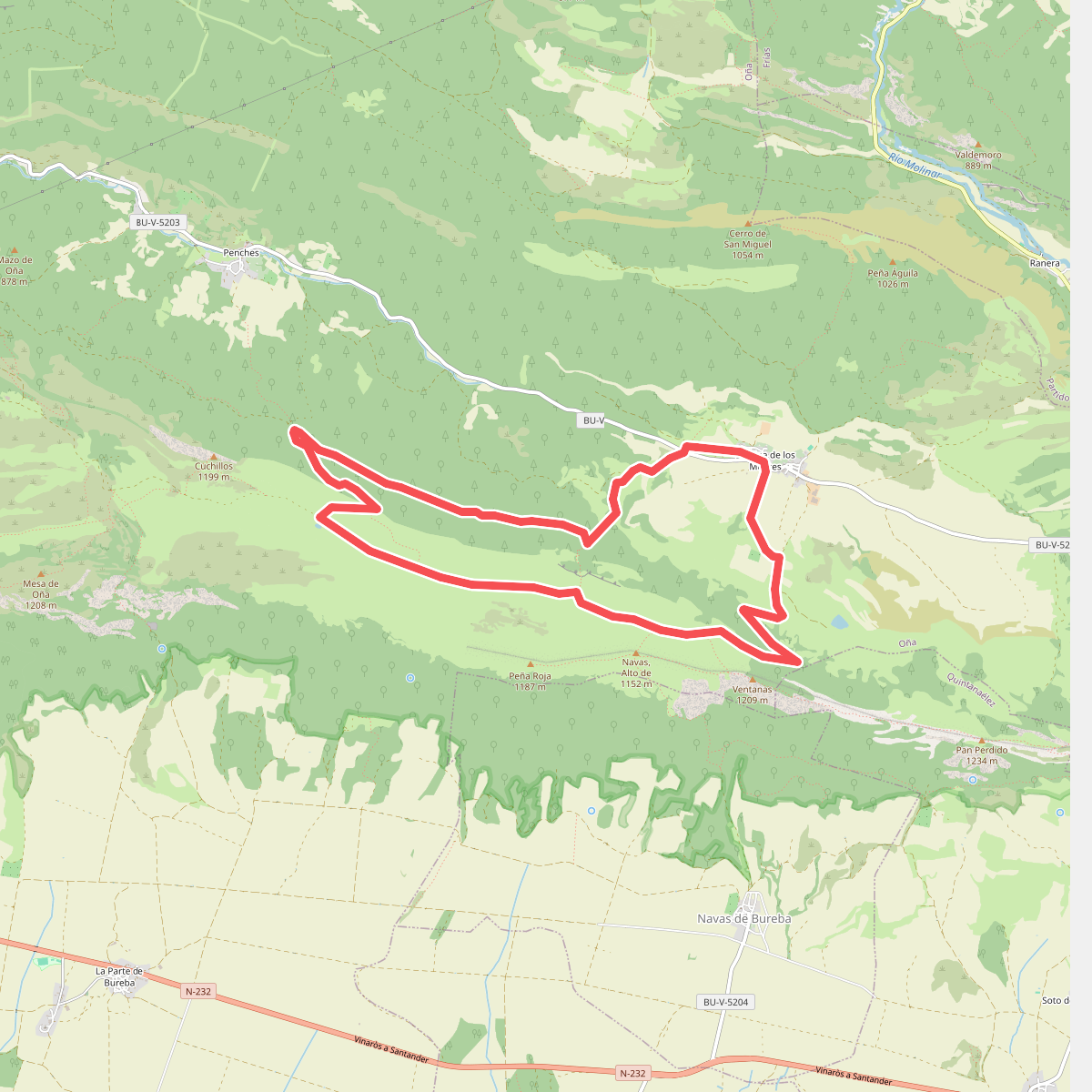
#3. Barcina de los Montes
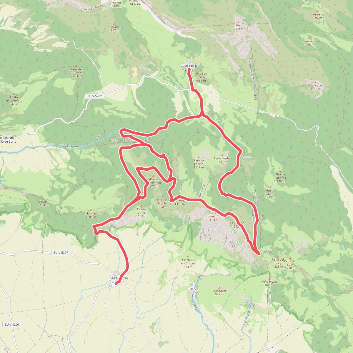
#4. Bosques y Cumbres de Miraveche
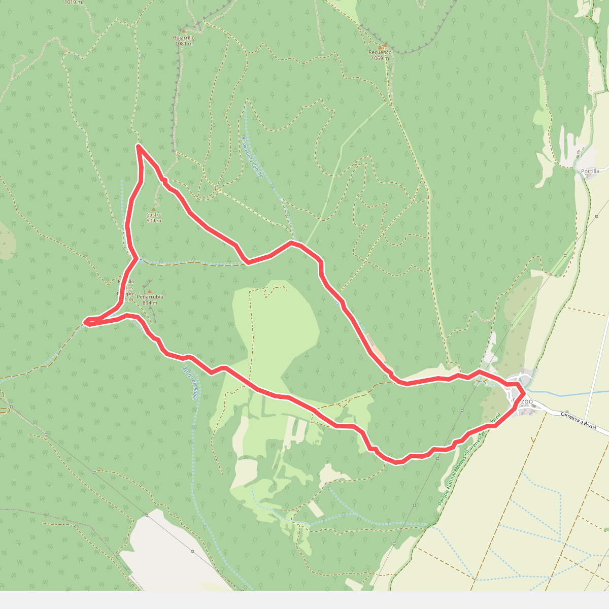
#5. Bozoo
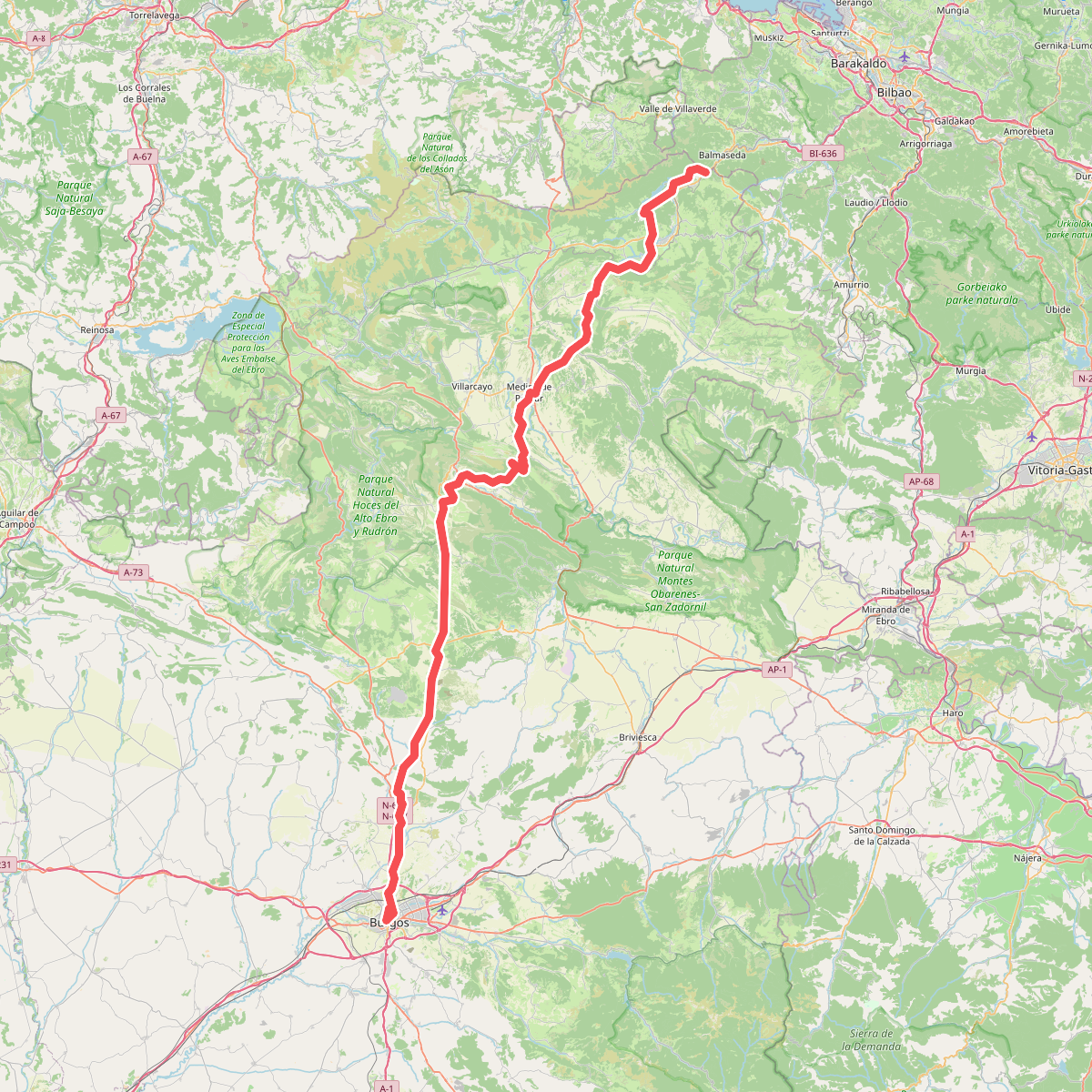
#6. Camino de Las Merindades
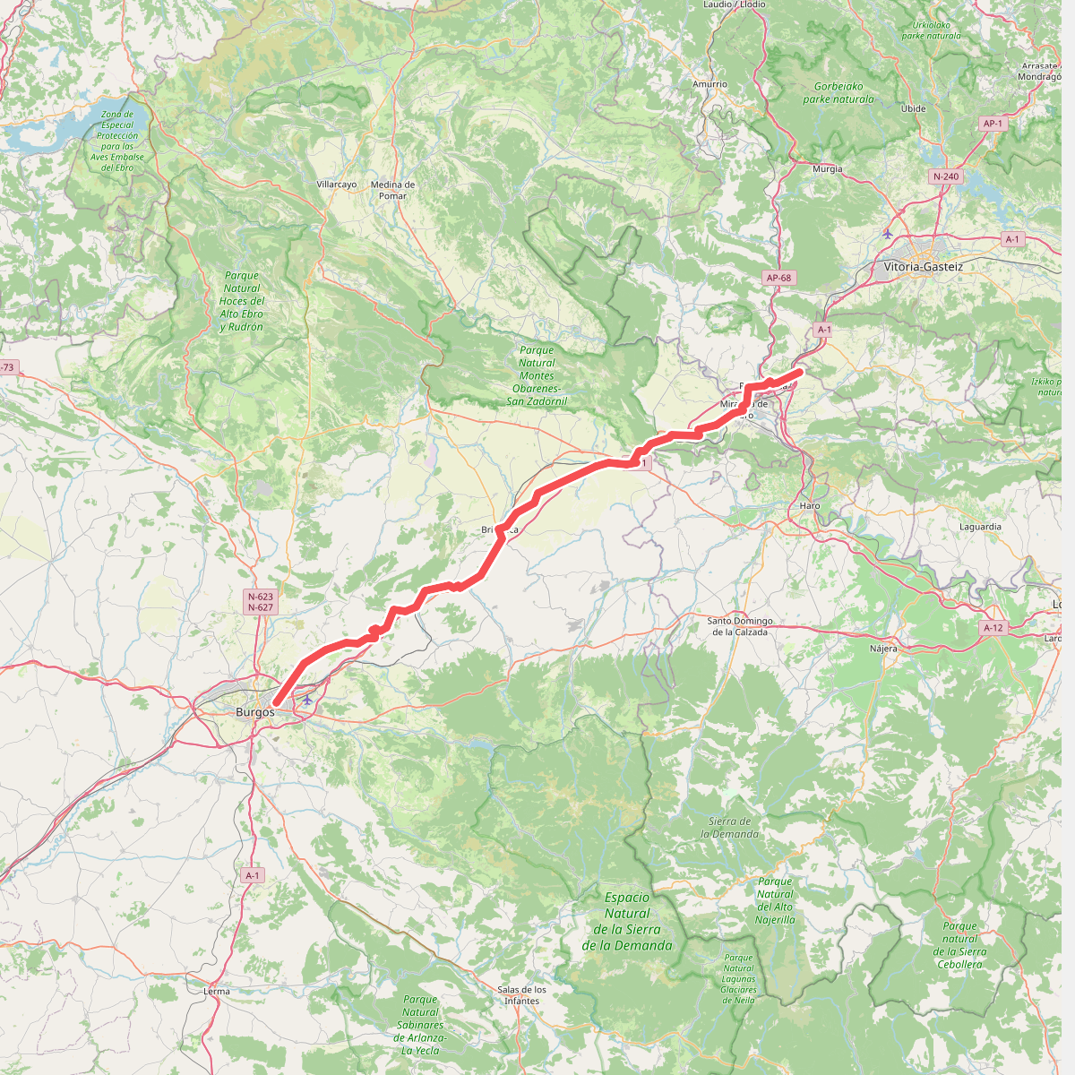
#7. Camino de Santiago Vasco del Interior - Variante de Burgos
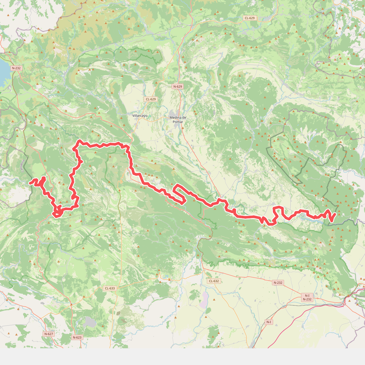
#8. Camino natural de Ebro - Castilla y León
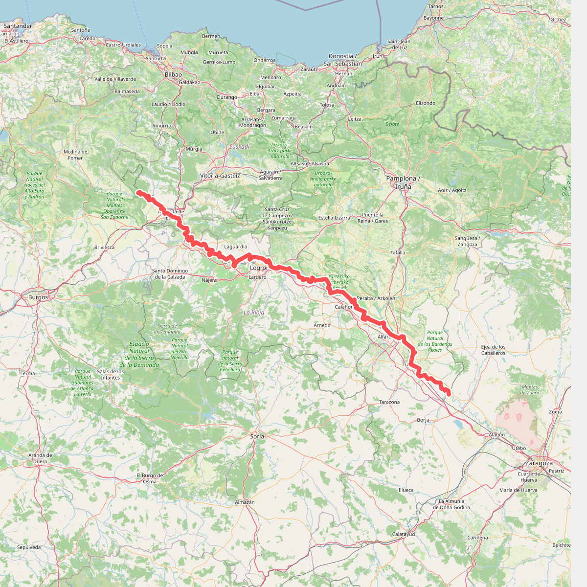
#9. Camino natural de Ebro - Tramo central
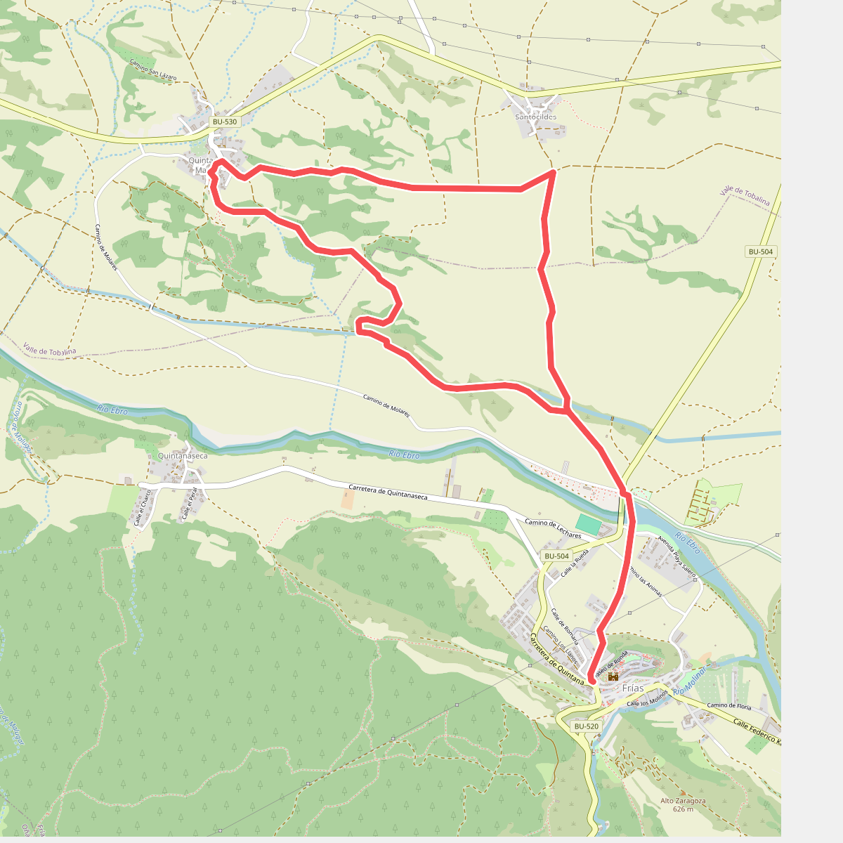
#10. Canal de Fontecha
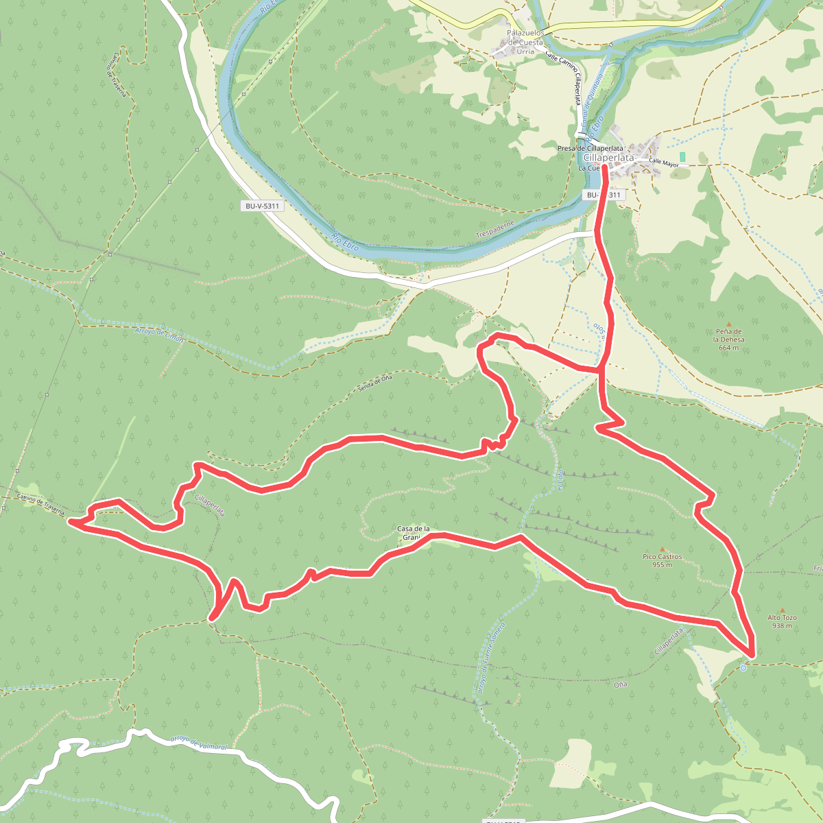
#11. Cillaperlata