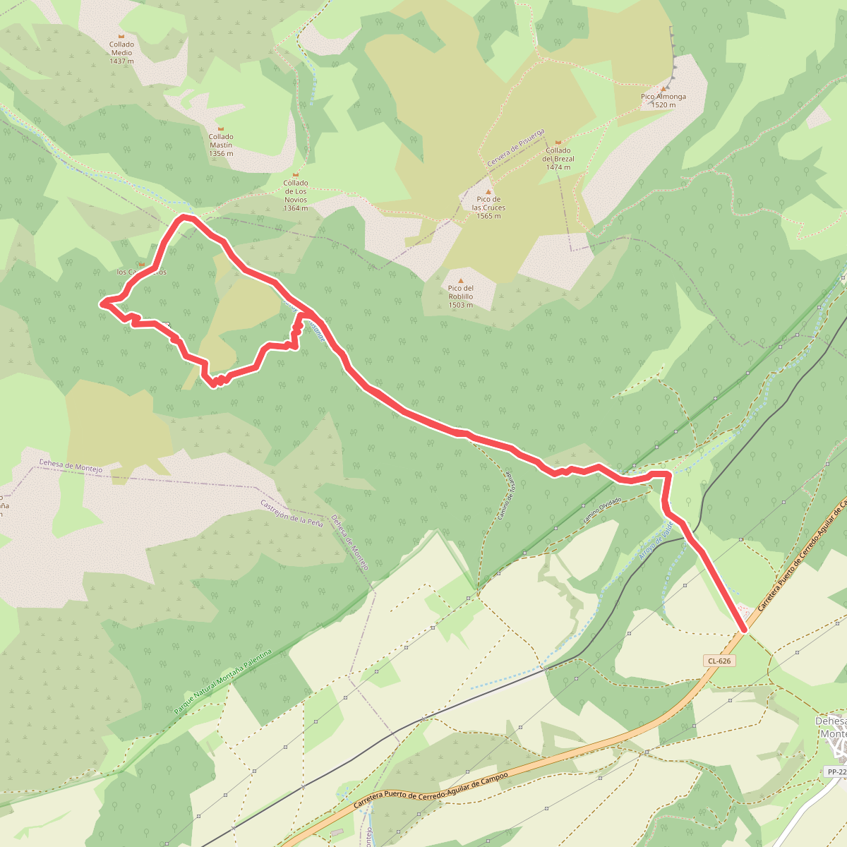
The best hiking routes in Parque Natural Montaña Palentina
Discover the best walks in Parque Natural Montaña Palentina. 21 routes on the map, with descriptions, photos and GPX.
About Parque Natural Montaña Palentina
Parque Natural Montaña Palentina offers a rugged, limestone-dominated landscape in northern Spain, characterized by steep rock walls, deep glacial cirques, and dense beech and oak forests. Unlike the softer sandstone hills further south, the trails here are often stony, steep, and demanding, requiring careful foot placement on loose scree and limestone pavement. The area is defined by its high-altitude karst formations and the dramatic peaks of the Fuentes Carrionas massif, which rise sharply above the forested valleys.
Read more
About Parque Natural Montaña Palentina
Parque Natural Montaña Palentina offers a rugged, limestone-dominated landscape in northern Spain, characterized by steep rock walls, deep glacial cirques, and dense beech and oak forests. Unlike the softer sandstone hills further south, the trails here are often stony, steep, and demanding, requiring careful foot placement on loose scree and limestone pavement. The area is defined by its high-altitude karst formations and the dramatic peaks of the Fuentes Carrionas massif, which rise sharply above the forested valleys.
Read moreParque Natural Montaña Palentina offers a rugged, limestone-dominated landscape in northern Spain, characterized by steep rock walls, deep glacial cirques, and dense beech and oak forests. Unlike the softer sandstone hills further south, the trails here are often stony, steep, and demanding, requiring careful foot placement on loose scree and limestone pavement. The area is defined by its high-altitude karst formations and the dramatic peaks of the Fuentes Carrionas massif, which rise sharply above the forested valleys.
Walkers will notice a stark contrast between the damp, shaded forest floors of the northern slopes, where mosses and ferns thrive under beech canopies, and the dry, sun-exposed limestone crags of the higher ridges. Underfoot, the terrain transitions from soft leaf litter and muddy forest tracks to sharp, uneven rock and gravel paths as you climb above the tree line. In late spring, around May and June, the melting snow feeds high-altitude wetlands and glacial lakes like Laguna de las Lomas, creating boggy patches amidst the rocky debris.
This is a high-mountain environment where navigation can become difficult when low cloud clings to the limestone ridges. It is not a place for casual strolls on paved paths; most routes are demanding mountain trails with significant elevation gain. While the valleys are accessible, reaching the open summits requires stamina and experience with steep, rocky terrain where waymarking can be sparse.
Hiking routes in Parque Natural Montaña Palentina (21)
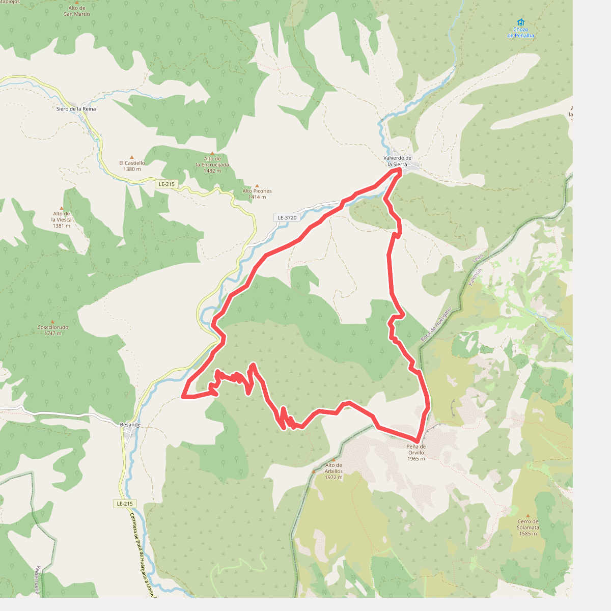
#1. Arbillos
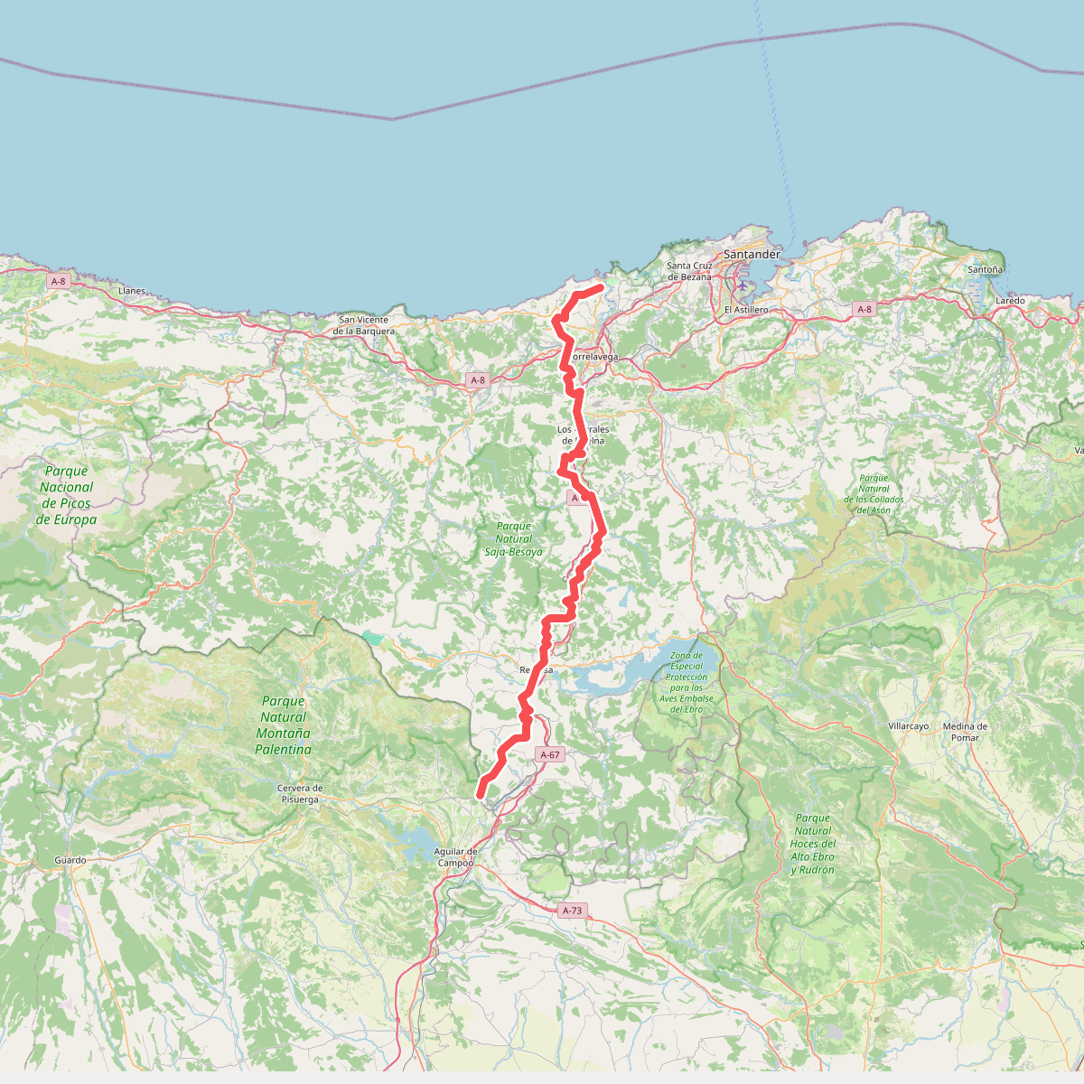
#2. Camino del Besaya: Cantabria
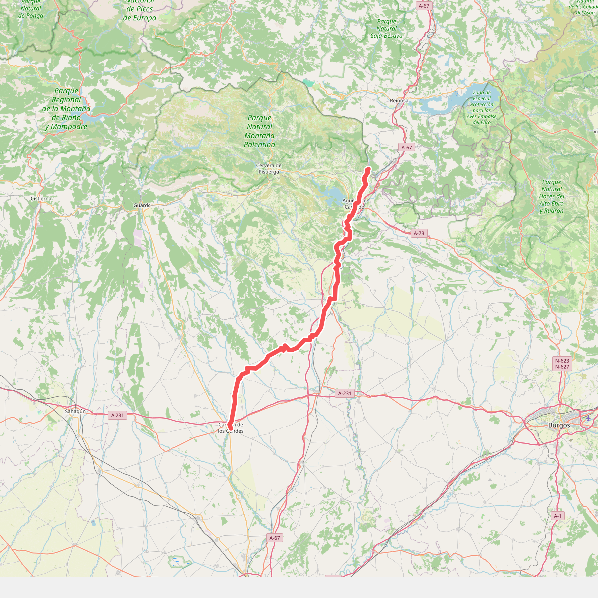
#3. Camino del Besaya: Palencia
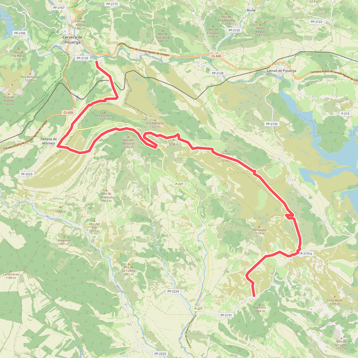
#4. Camino Natural del Románico Palentino. Ruta del Carbón de cok. Etapa 2
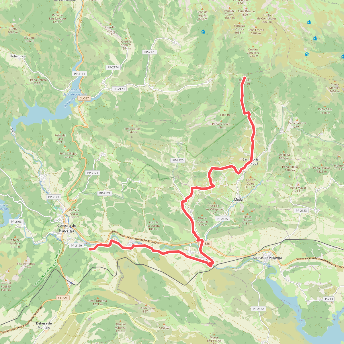
#5. Camino Natural del Románico Palentino. Ruta del Carbón de cok. Etapa 3
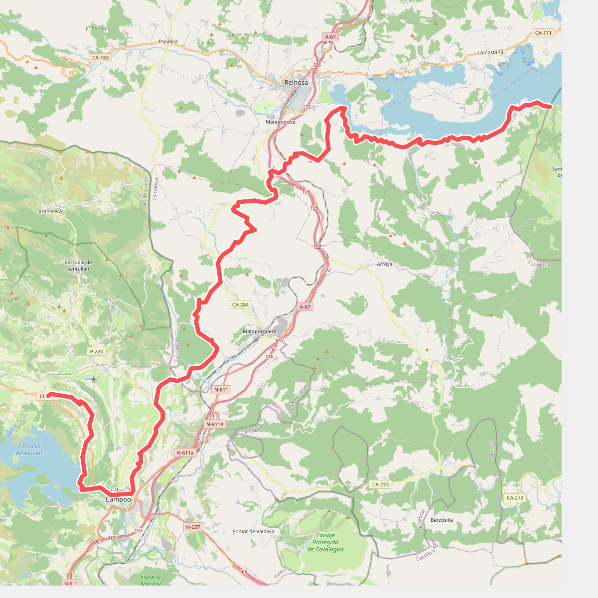
#6. Camino Olvidado (Bimón-Matamorisca)
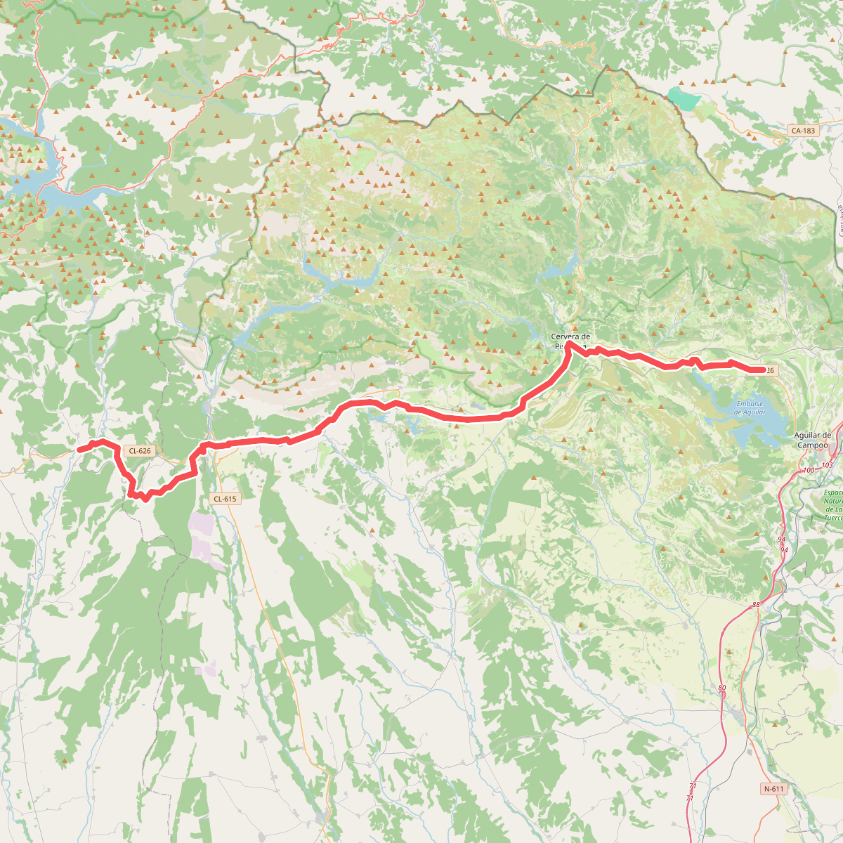
#7. Camino Olvidado (Matamorisca-Puente Almuhey)
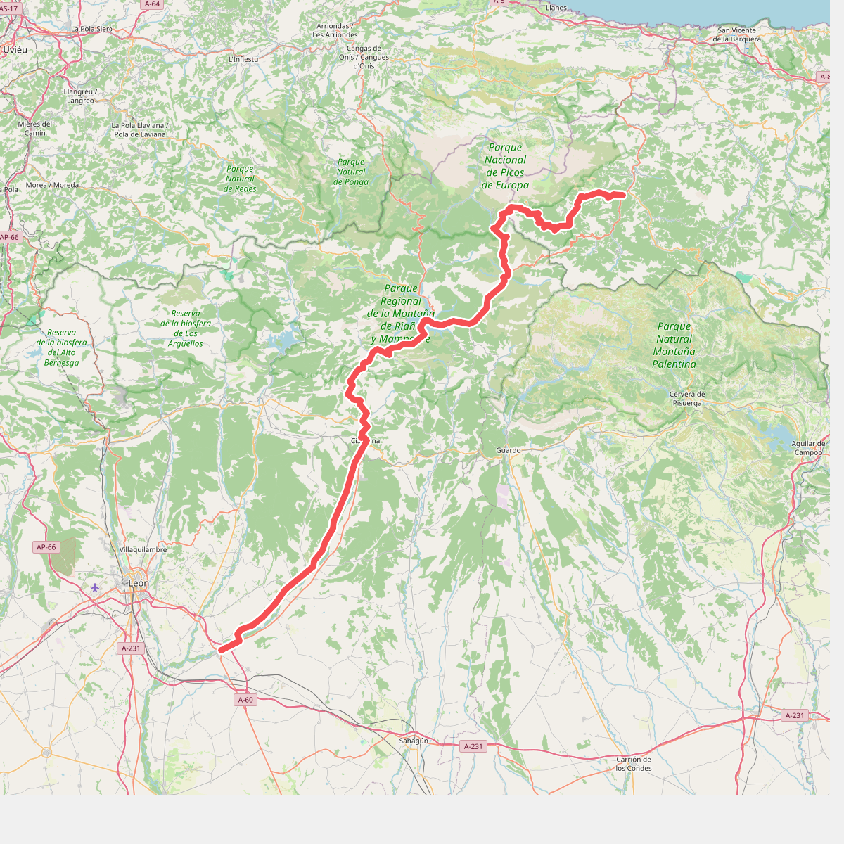
#8. Camino Vadiniense
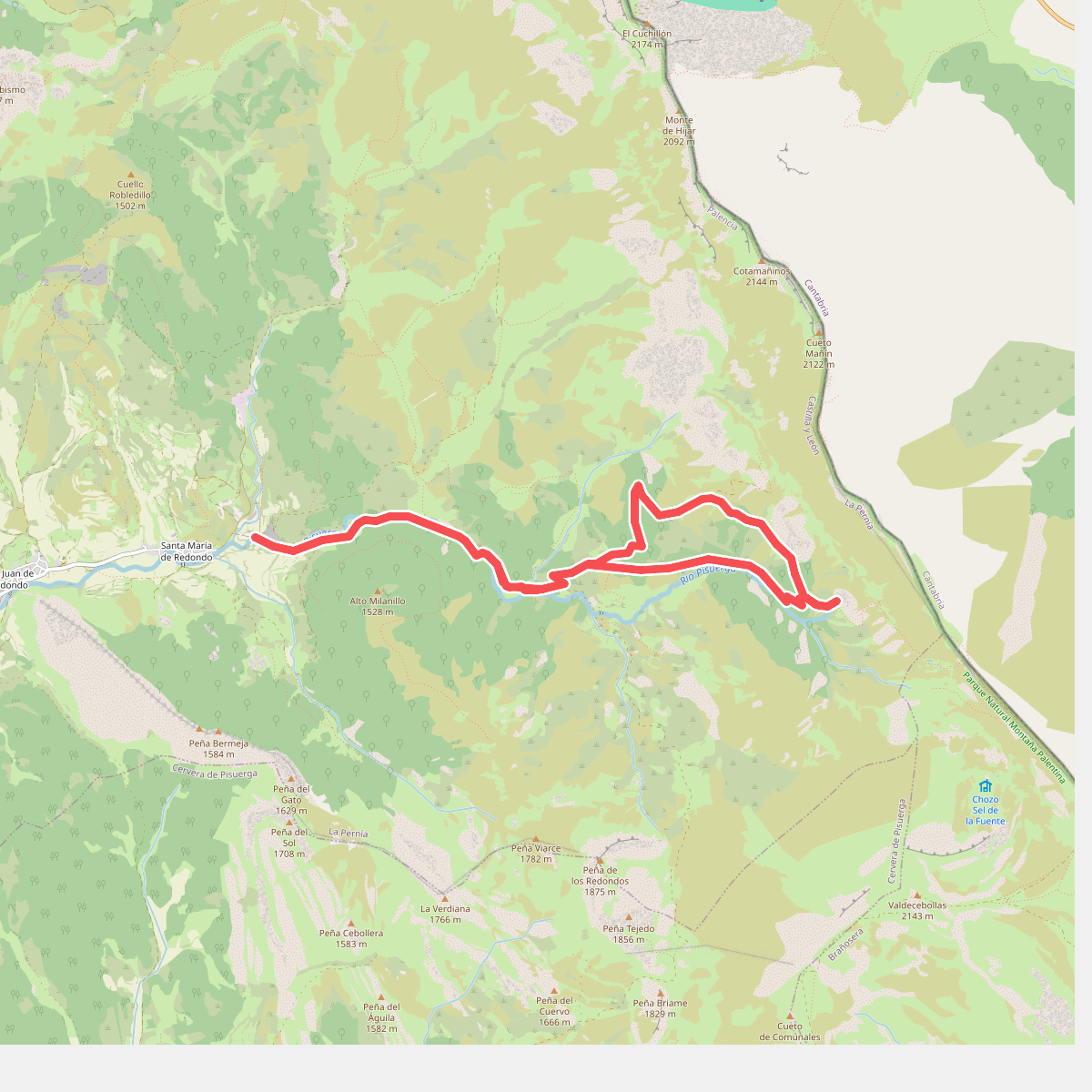
#9. Senda de Fuente Cobre
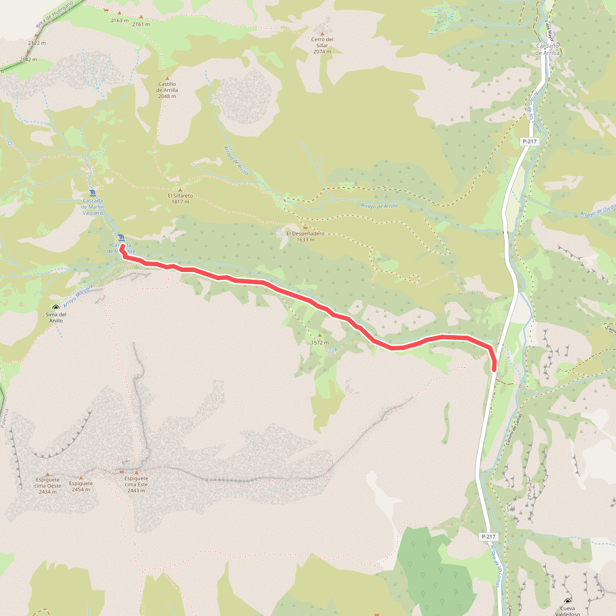
#10. Senda de la Cascada de Mazobre
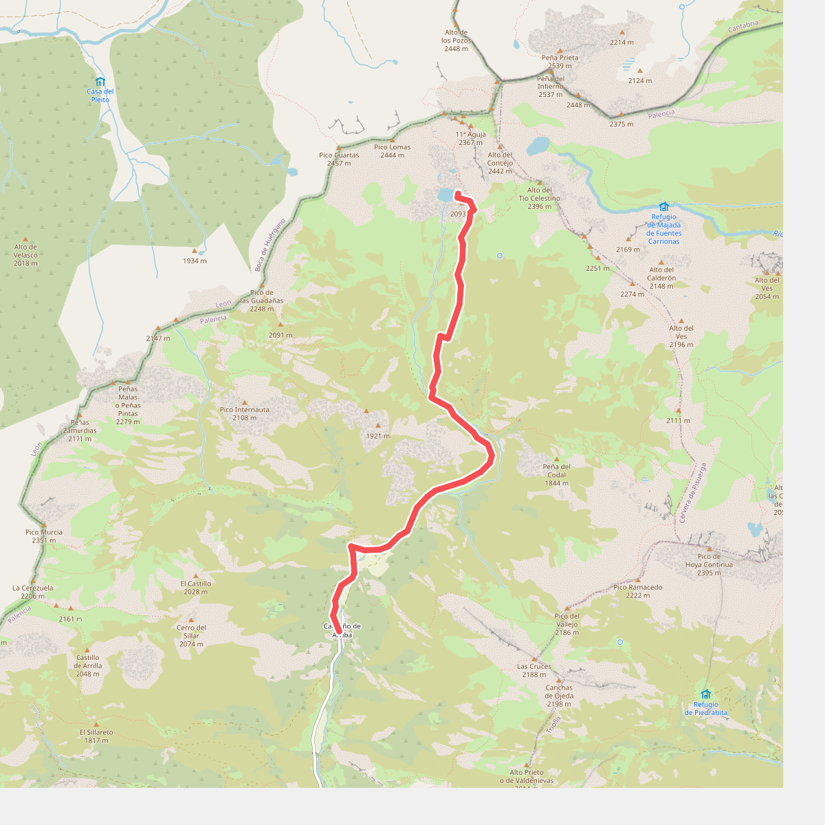
#11. Senda de la Laguna de las Lomas