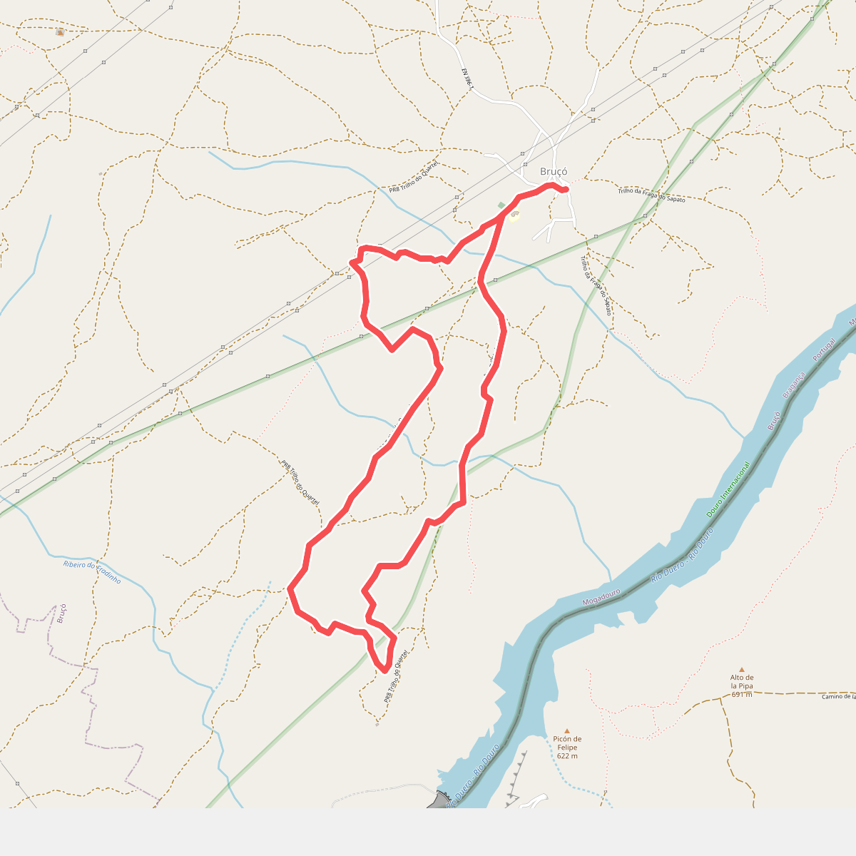
The best hiking routes in Parque Natural do Douro Internacional
Discover the best walks in Parque Natural do Douro Internacional. 24 routes on the map, with descriptions, photos and GPX.
Managed by INCF
About Parque Natural do Douro Internacional
Parque Natural do Douro Internacional is defined by the deep, rocky canyon carved by the Douro River along the border between Portugal and Spain. The landscape is split into two distinct zones: the steep, granite cliffs of the river gorge and the high, flat plateau that stretches away from the canyon rim. On the plateau, walkers encounter a dry, open landscape of traditional olive groves, almond orchards, and scrubland. Down in the gorge, the microclimate is noticeably warmer and more sheltered, supporting Mediterranean vegetation that clings to the sheer rock faces.
Read more
About Parque Natural do Douro Internacional
Parque Natural do Douro Internacional is defined by the deep, rocky canyon carved by the Douro River along the border between Portugal and Spain. The landscape is split into two distinct zones: the steep, granite cliffs of the river gorge and the high, flat plateau that stretches away from the canyon rim. On the plateau, walkers encounter a dry, open landscape of traditional olive groves, almond orchards, and scrubland. Down in the gorge, the microclimate is noticeably warmer and more sheltered, supporting Mediterranean vegetation that clings to the sheer rock faces.
Read moreParque Natural do Douro Internacional is defined by the deep, rocky canyon carved by the Douro River along the border between Portugal and Spain. The landscape is split into two distinct zones: the steep, granite cliffs of the river gorge and the high, flat plateau that stretches away from the canyon rim. On the plateau, walkers encounter a dry, open landscape of traditional olive groves, almond orchards, and scrubland. Down in the gorge, the microclimate is noticeably warmer and more sheltered, supporting Mediterranean vegetation that clings to the sheer rock faces.
Underfoot, the terrain varies from dusty dirt tracks and ancient stone-paved agricultural paths on the plateau to steep, rocky trails that descend into the canyon. These descents require careful footwork on loose shale and granite fragments. While the plateau offers gentle, rolling walking, the routes dropping down to the river level involve significant elevation changes over short distances. Water is scarce on the high ground, and the landscape can feel parched, particularly during the hot summer months.
This park is not a place for dense forests or lush green meadows. Instead, it offers a rugged, arid environment where the main appeal lies in observing the sheer scale of the river cliffs and watching for birds of prey, such as griffon vultures, nesting in the rock crevices. The area is generally quiet, with most visitors concentrating around the established viewpoints near Miranda do Douro, leaving the long-distance border trails largely to those on foot.
Hiking routes in Parque Natural do Douro Internacional (24)
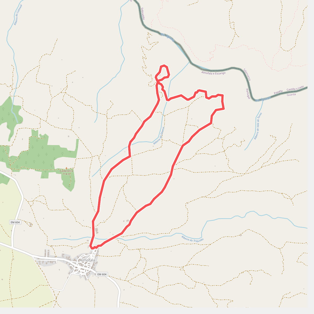
#1. Almofala - Santo André das Arribas
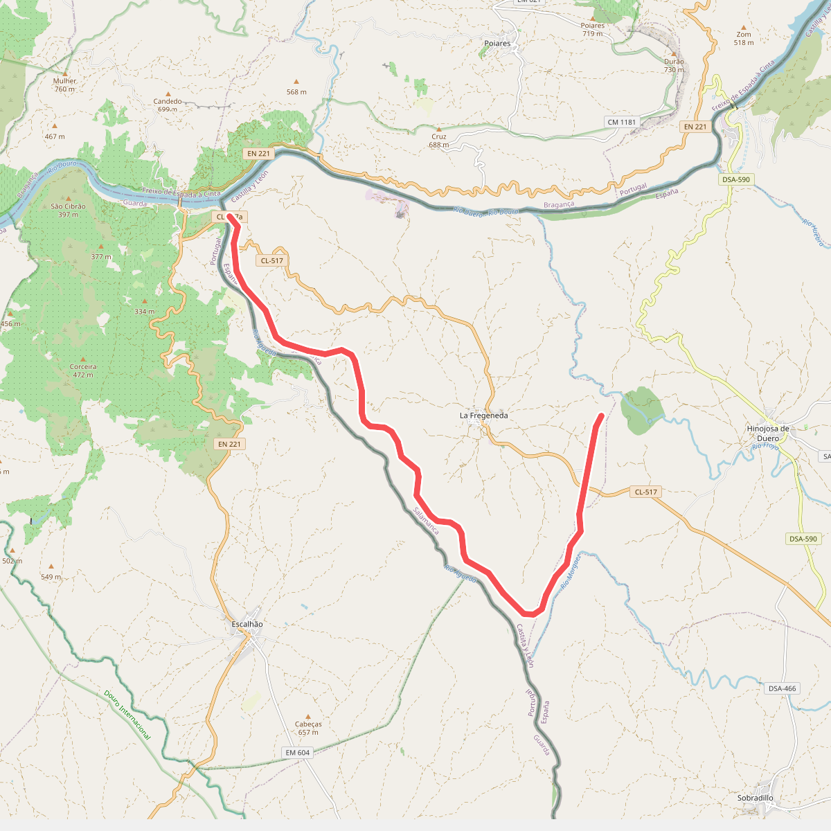
#2. Camino de Hierro
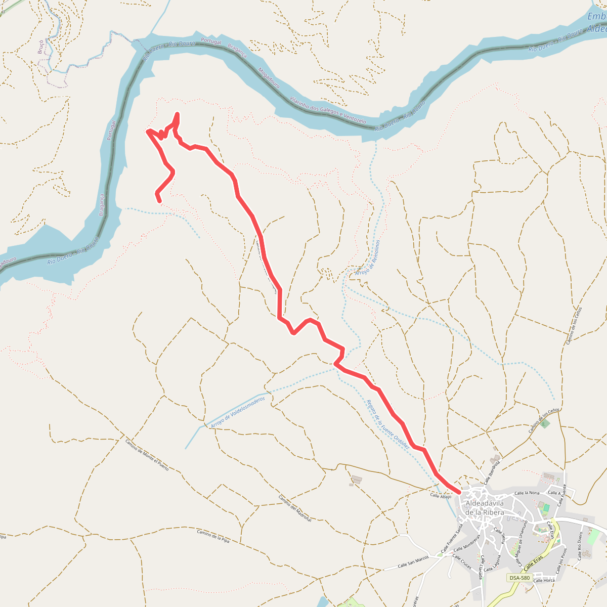
#3. camino del mirador de Rupitín
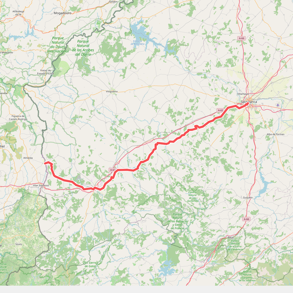
#4. Camino Torres - 01 Salamanca to Almeida
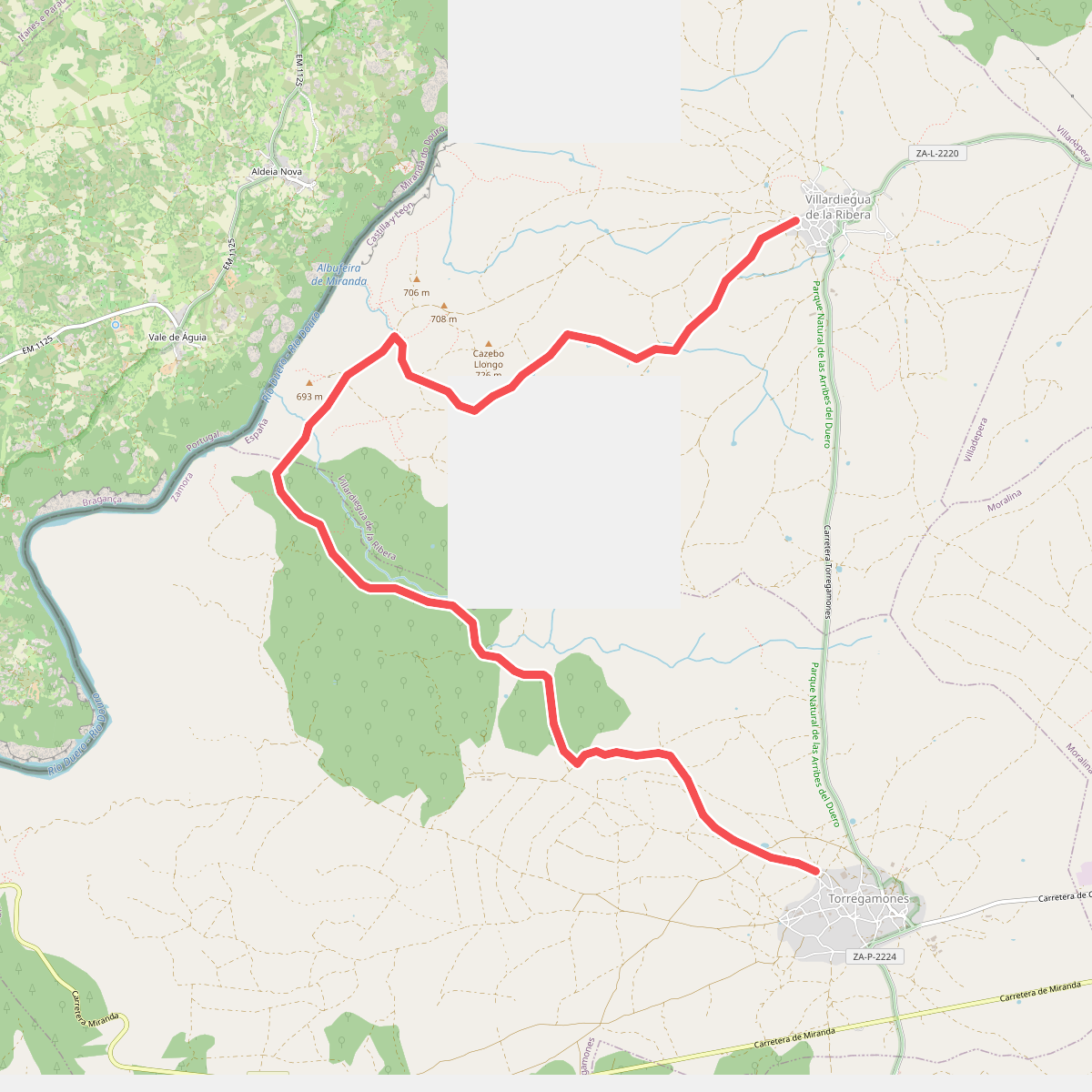
#5. Etapa 23: Villardiegua de la Ribera – Torregamones
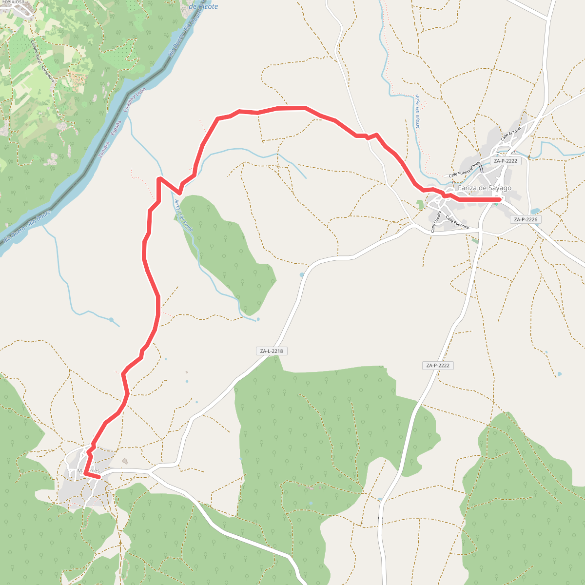
#6. Etapa 28: Fariza – Mámoles
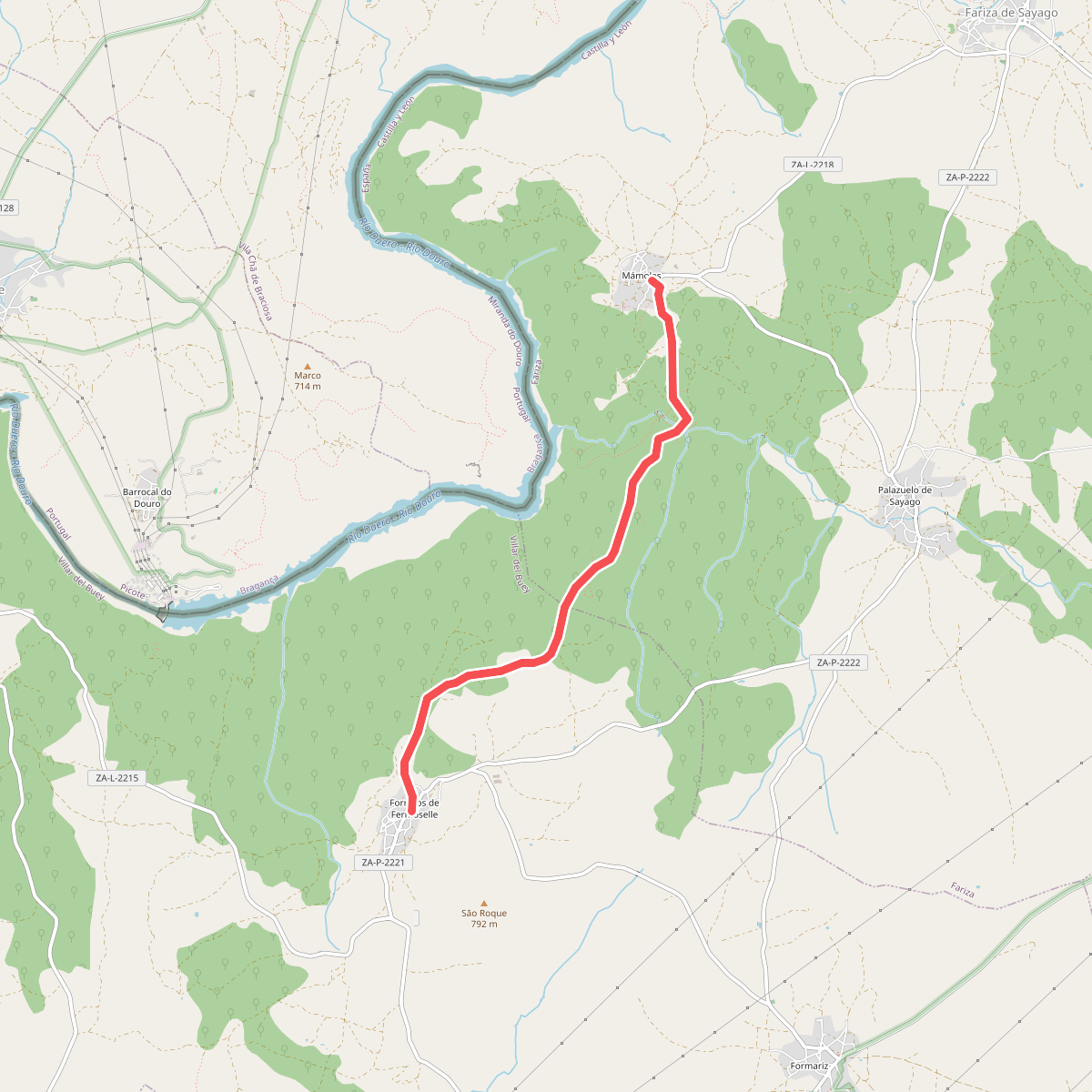
#7. Etapa 29: Mámoles – Fornillos de Fermoselle
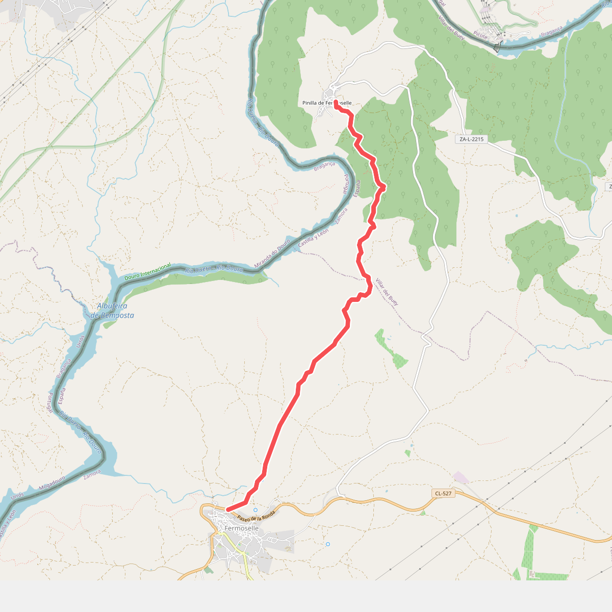
#8. Etapa 31: Pinilla de Fermoselle – Fermoselle
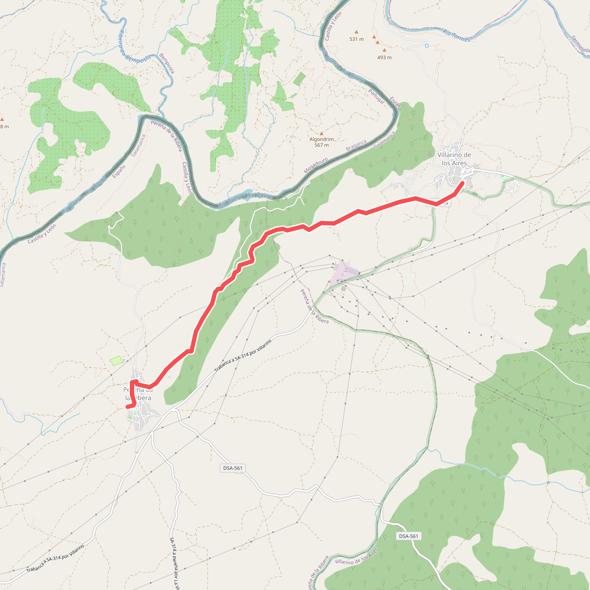
#9. Etapa 34: Villarino de los Aires – Pereña de la Ribera
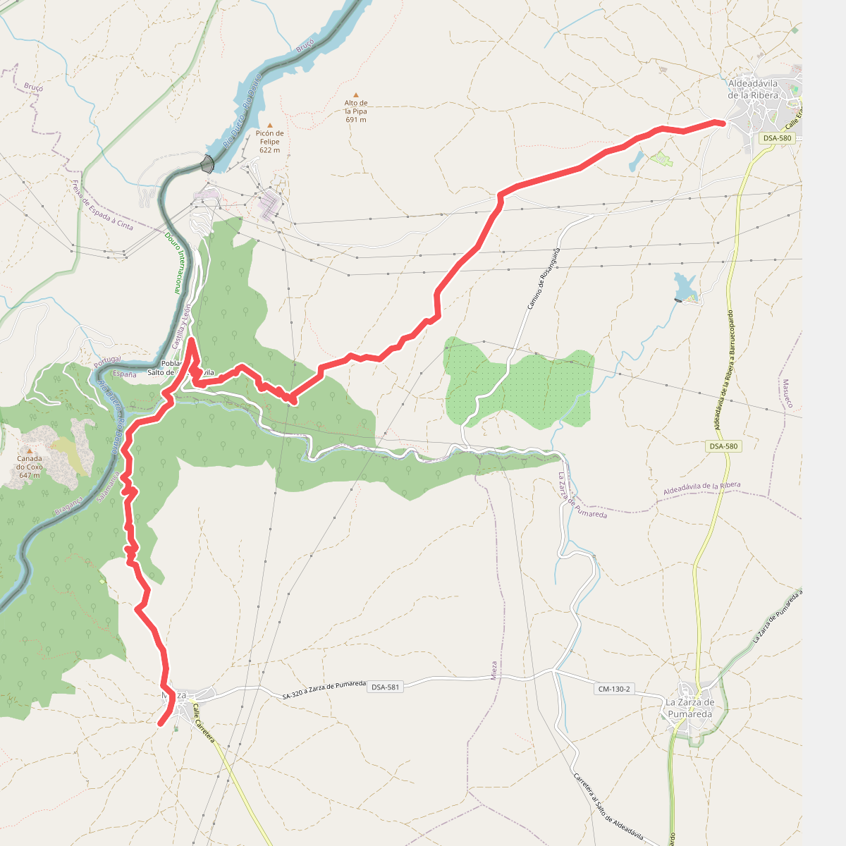
#10. Etapa 37: Aldeadávila de la Ribera – Mieza
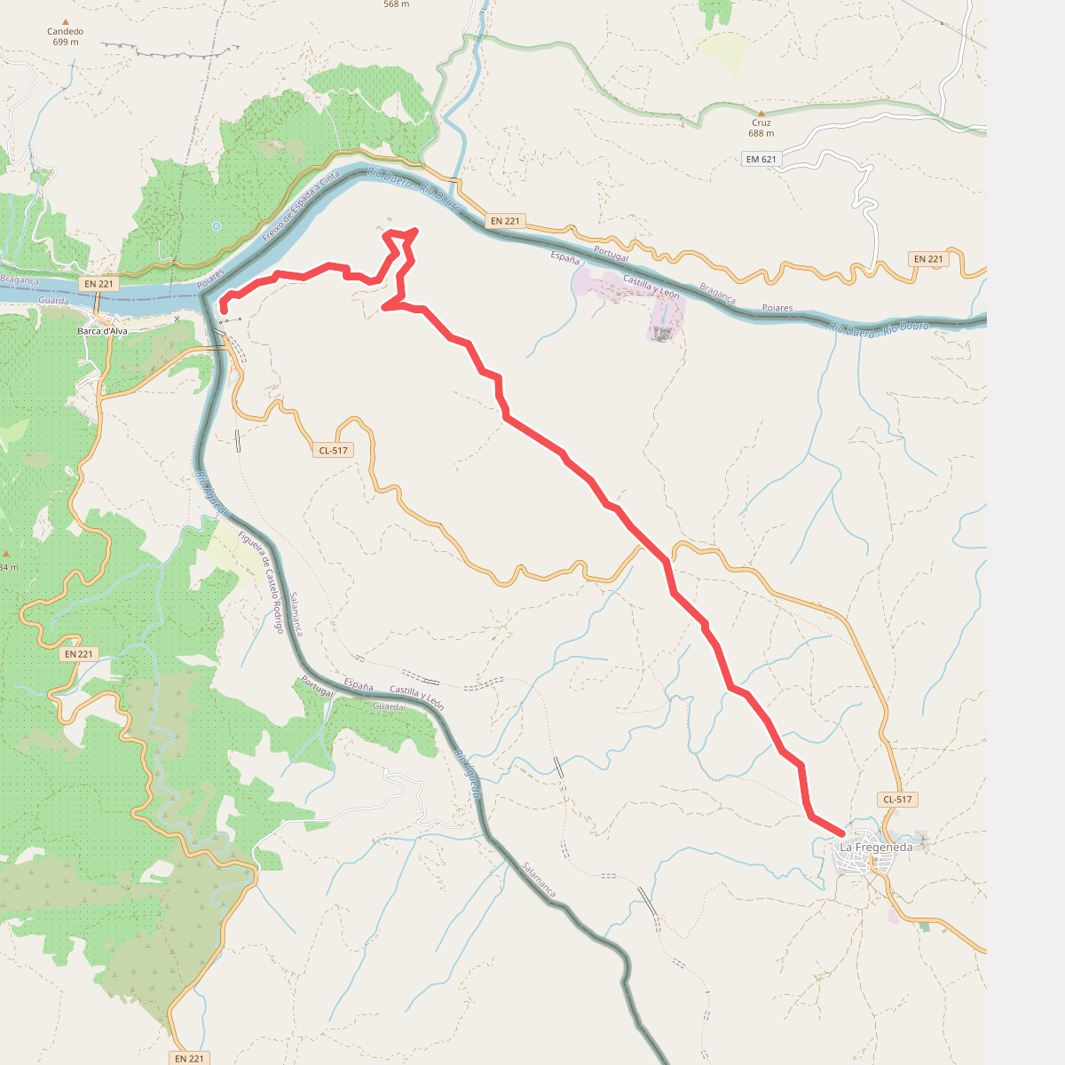
#11. Etapa 42: La Fregeneda – Vega Terrón