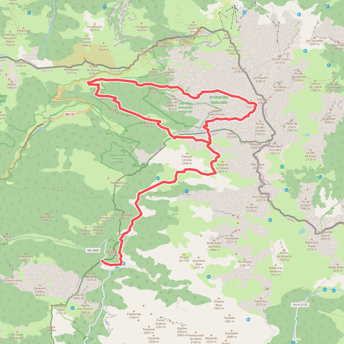
The best hiking routes in Parque Natural de los Valles Occidentales
Discover the best walks in Parque Natural de los Valles Occidentales. 40 routes on the map, with descriptions, photos and GPX.
Managed by Gobierno de Aragón
About Parque Natural de los Valles Occidentales
Parque Natural de los Valles Occidentales occupies the northwestern corner of the Aragonese Pyrenees, where the high limestone peaks of the central range begin to transition into gentler, greener Atlantic-influenced mountains. Unlike the dry, rocky canyons found further east, this area is defined by deep beech and fir forests, such as the Selva de Oza, and wide glacial valleys like Aguas Tuertas. The influence of the ocean brings high humidity, which feeds the active river systems and creates a softer, more vegetated landscape than the barren granite massifs of the high Pyrenees.
Read more
About Parque Natural de los Valles Occidentales
Parque Natural de los Valles Occidentales occupies the northwestern corner of the Aragonese Pyrenees, where the high limestone peaks of the central range begin to transition into gentler, greener Atlantic-influenced mountains. Unlike the dry, rocky canyons found further east, this area is defined by deep beech and fir forests, such as the Selva de Oza, and wide glacial valleys like Aguas Tuertas. The influence of the ocean brings high humidity, which feeds the active river systems and creates a softer, more vegetated landscape than the barren granite massifs of the high Pyrenees.
Read moreParque Natural de los Valles Occidentales occupies the northwestern corner of the Aragonese Pyrenees, where the high limestone peaks of the central range begin to transition into gentler, greener Atlantic-influenced mountains. Unlike the dry, rocky canyons found further east, this area is defined by deep beech and fir forests, such as the Selva de Oza, and wide glacial valleys like Aguas Tuertas. The influence of the ocean brings high humidity, which feeds the active river systems and creates a softer, more vegetated landscape than the barren granite massifs of the high Pyrenees.
Walkers will find a distinct contrast in terrain depending on their choice of valley. The lower forest paths are often soft with leaf litter and damp soil, while the higher routes climb onto limestone karst, where the ground becomes rocky, uneven, and exposed. In the flat valley floor of Aguas Tuertas, the trail follows a meandering stream bed through peat bogs and wet pastures, requiring careful stepping around boggy patches. There are no manicured boardwalks here; trails range from rough, stony mule tracks to faint paths marked by stone cairns on the open pastures.
In June, the high meadows are vibrant with alpine wildflowers, while October brings intense autumn colours to the beech canopy. The park is less rugged than the Ordesa canyon to the east, making it suitable for those who prefer enclosed woodland walking and wide, U-shaped glacial valleys over sheer vertical cliffs. While the main trailheads near Oza can be busy with day-trippers, the higher passes leading toward the French border offer a quieter, more solitary mountain experience.
Hiking routes in Parque Natural de los Valles Occidentales (40)
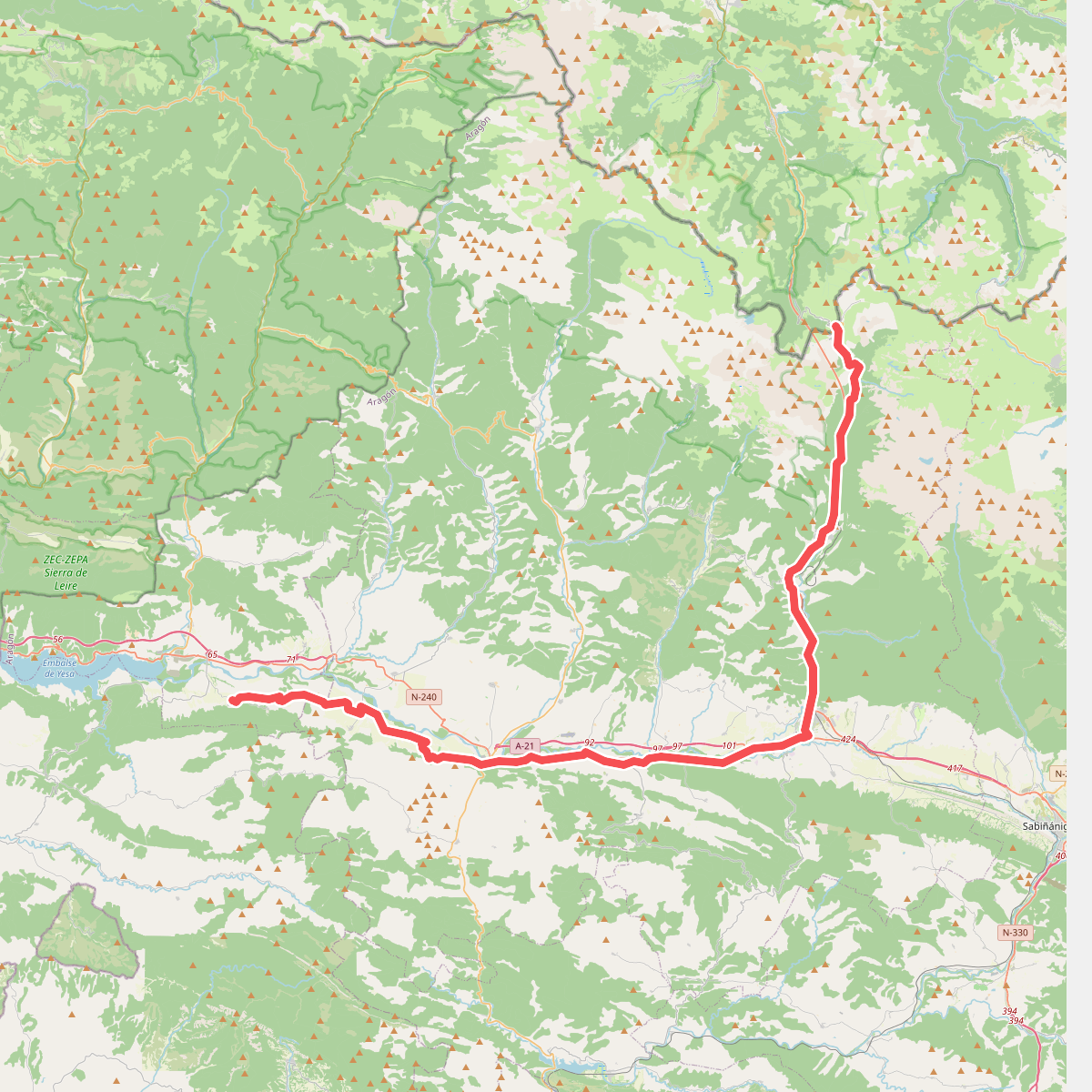
#1. Camino Aragonés
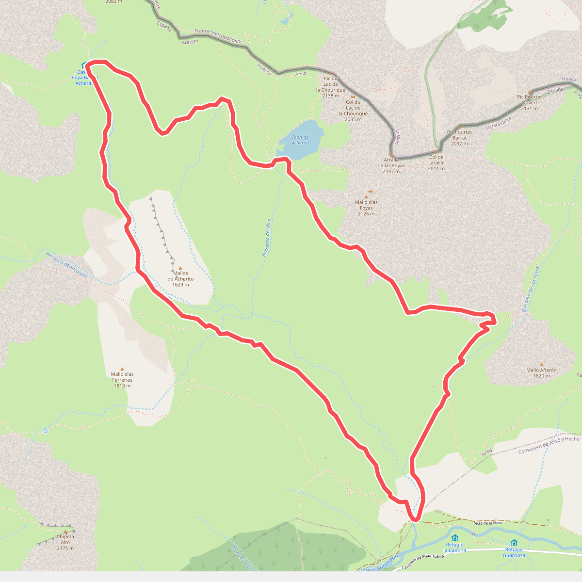
#2. Camino del Ibón de Acherito
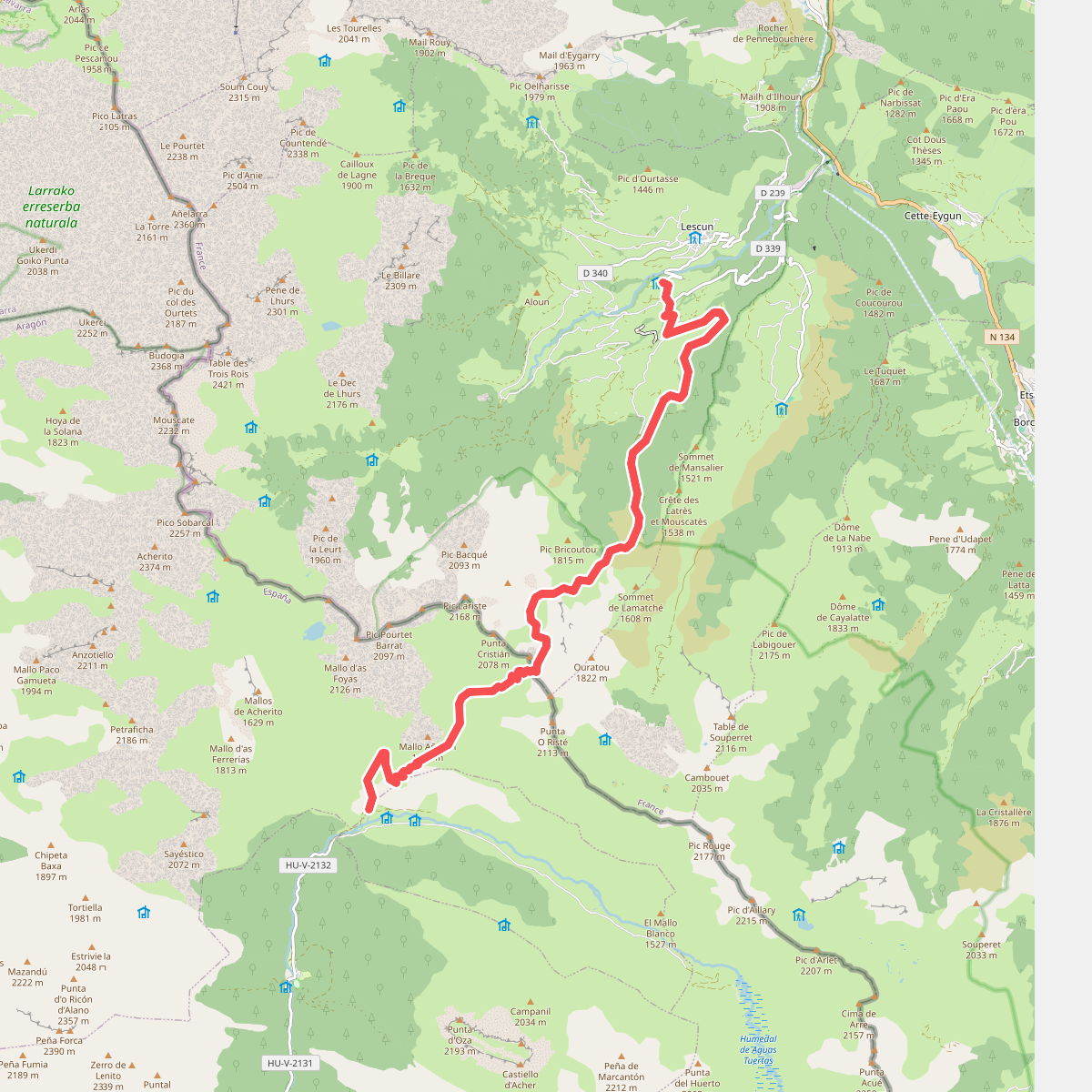
#3. Chemin de Compostelle par le Col de Paü asp120
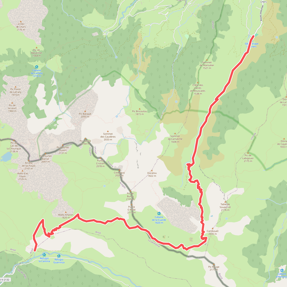
#4. Chemin de la Liberté par la Cuarde asp121
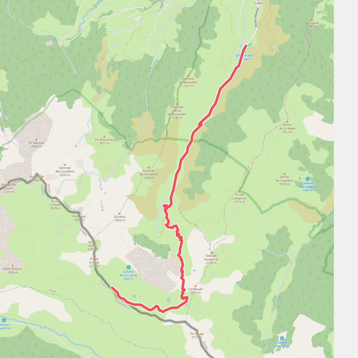
#5. Col de la Cuarde par Aumet asp55
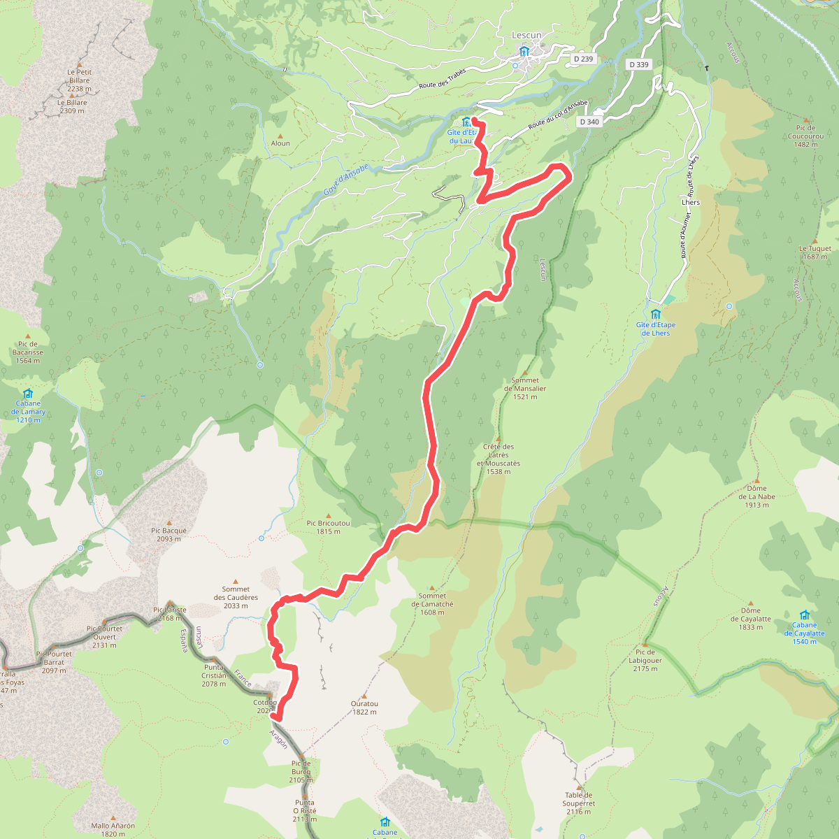
#6. Col de Paü asp54
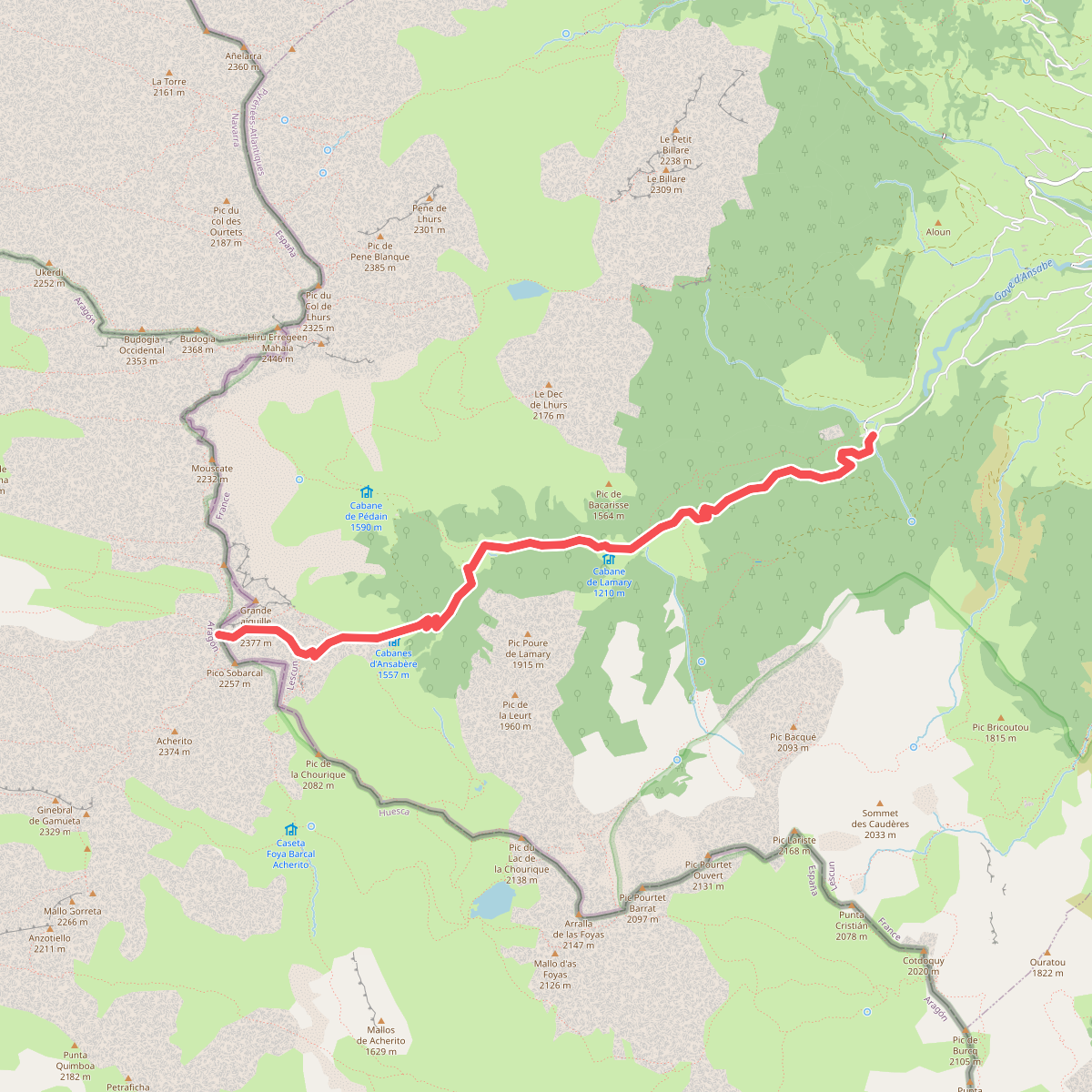
#7. Col de Pétragème asp53
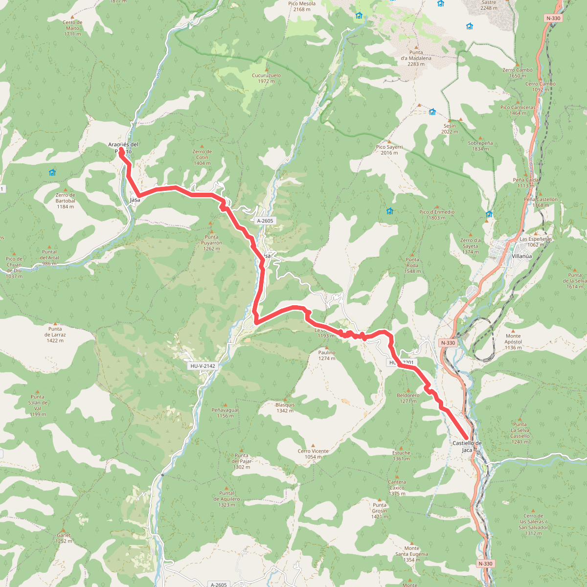
#8. Etapa 11: Castiello de Jaca – Aragüés del Puerto
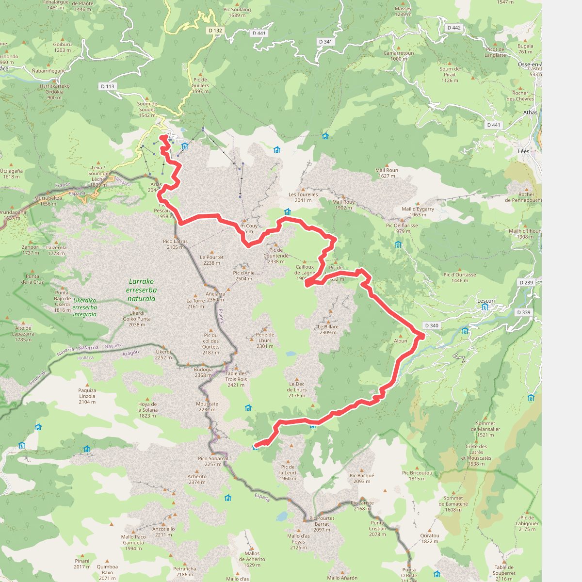
#9. Étape 08
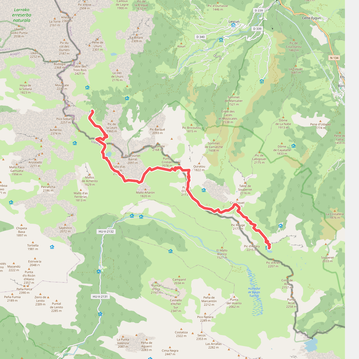
#10. Étape 09
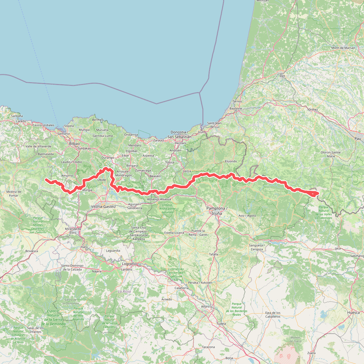
#11. Euskal Herriko ibilaldia