The best hiking routes in Parque Natural de las Lagunas de Ruidera
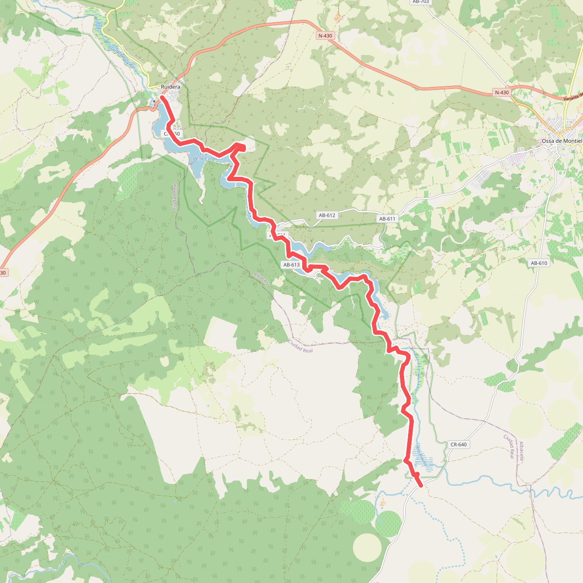
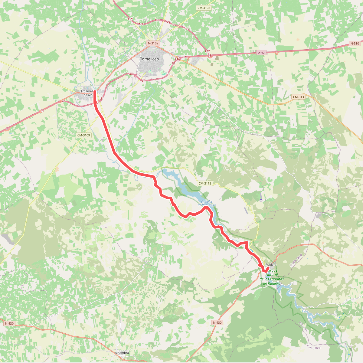
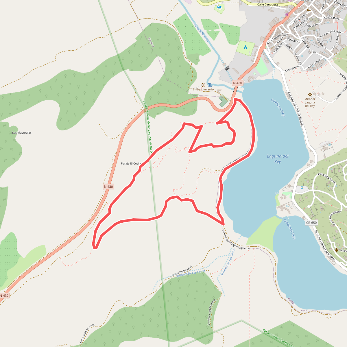
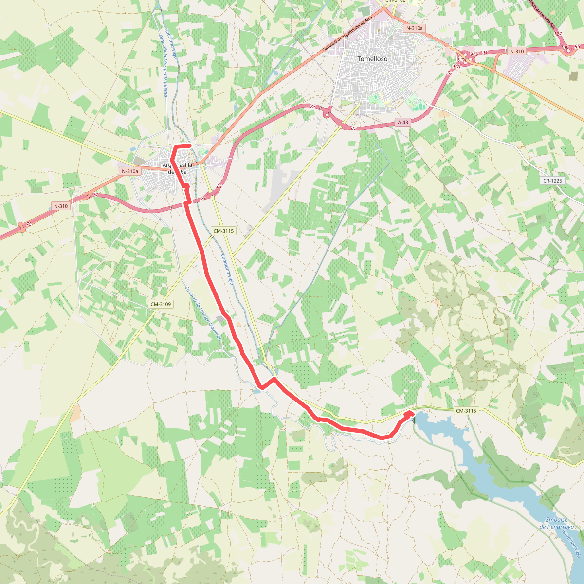
Discover the best walks in Parque Natural de las Lagunas de Ruidera. 4 routes on the map, with descriptions, photos and GPX.
About Parque Natural de las Lagunas de Ruidera
Parque Natural de las Lagunas de Ruidera is a chain of fifteen interconnected lakes stretching along the Campo de Montiel plateau. Unlike typical mountain lakes fed by surface runoff, these waters are fed by underground aquifers that emerge through limestone springs. This constant flow of mineral-rich water has created natural travertine barriers, which act as stone dams separating the individual lagoons. As a walker, you will notice these barriers as small, cascading waterfalls that connect one body of water to the next.
Read more
About Parque Natural de las Lagunas de Ruidera
Parque Natural de las Lagunas de Ruidera is a chain of fifteen interconnected lakes stretching along the Campo de Montiel plateau. Unlike typical mountain lakes fed by surface runoff, these waters are fed by underground aquifers that emerge through limestone springs. This constant flow of mineral-rich water has created natural travertine barriers, which act as stone dams separating the individual lagoons. As a walker, you will notice these barriers as small, cascading waterfalls that connect one body of water to the next.
Read moreParque Natural de las Lagunas de Ruidera is a chain of fifteen interconnected lakes stretching along the Campo de Montiel plateau. Unlike typical mountain lakes fed by surface runoff, these waters are fed by underground aquifers that emerge through limestone springs. This constant flow of mineral-rich water has created natural travertine barriers, which act as stone dams separating the individual lagoons. As a walker, you will notice these barriers as small, cascading waterfalls that connect one body of water to the next.
The walking terrain varies significantly between the damp, reed-lined shores and the dry, Mediterranean scrubland just above the water level. Near the banks, you will walk on flat, sometimes soft dirt paths, wooden boardwalks, and sections of gravel. A short climb up the valley slopes brings you onto stony, dusty tracks dominated by holm oaks, rosemary, and thyme, where the ground is hard and exposed to the sun. The contrast between the lush, green wetland margins and the arid, white limestone hillsides is the defining feature of this landscape.
While the main lakeside tracks near the villages and swimming areas can be busy, especially during the summer months of July and August, the trails leading into the surrounding hills or along the quieter upper lagoons offer a more solitary experience. There are no high peaks or deep gorges here; the landscape is one of gently rolling hills and wide, flat valleys. It is a place to observe how water shapes limestone, visible in the active formation of new tufa barriers and the clear, turquoise color of the deeper pools.