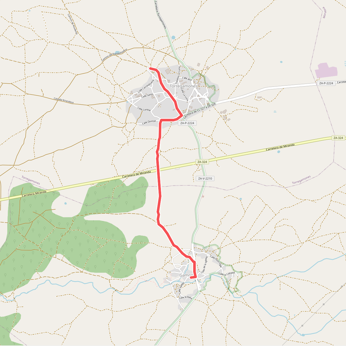
The best hiking routes in Parque Natural de las Arribes del Duero
Discover the best walks in Parque Natural de las Arribes del Duero. 38 routes on the map, with descriptions, photos and GPX.
About Parque Natural de las Arribes del Duero
Parque Natural de las Arribes del Duero is defined by a deep granite canyon carved by the Duero River on the border between Spain and Portugal. Unlike the flat, agricultural plains of the surrounding Castilian plateau, this park drops suddenly into steep gorges. Walkers will find a stark contrast between the dry, windswept scrubland of the upper rim and the sheltered, Mediterranean microclimate of the valley floor, where olive and citrus trees grow on terraced slopes.
Read more
About Parque Natural de las Arribes del Duero
Parque Natural de las Arribes del Duero is defined by a deep granite canyon carved by the Duero River on the border between Spain and Portugal. Unlike the flat, agricultural plains of the surrounding Castilian plateau, this park drops suddenly into steep gorges. Walkers will find a stark contrast between the dry, windswept scrubland of the upper rim and the sheltered, Mediterranean microclimate of the valley floor, where olive and citrus trees grow on terraced slopes.
Read moreParque Natural de las Arribes del Duero is defined by a deep granite canyon carved by the Duero River on the border between Spain and Portugal. Unlike the flat, agricultural plains of the surrounding Castilian plateau, this park drops suddenly into steep gorges. Walkers will find a stark contrast between the dry, windswept scrubland of the upper rim and the sheltered, Mediterranean microclimate of the valley floor, where olive and citrus trees grow on terraced slopes.
Underfoot, the terrain varies from dusty dirt tracks and ancient stone-walled lanes on the high plains to steep, rocky paths that descend into the canyon. These descents require careful footwork over loose granite scree and uneven stone steps. The landscape is highly functional, shaped by traditional farming and modern hydroelectric dams, which you will see from several vantage points along the cliffs.
Spring, particularly around April, brings a brief greening of the scrub and blooming almond blossoms, while late summer leaves the slopes dry and parched. This is not a high-mountain destination with alpine peaks, but rather a rugged plateau cut by deep river incisions where the challenge lies in the steep, short descents and climbs.
Hiking routes in Parque Natural de las Arribes del Duero (38)
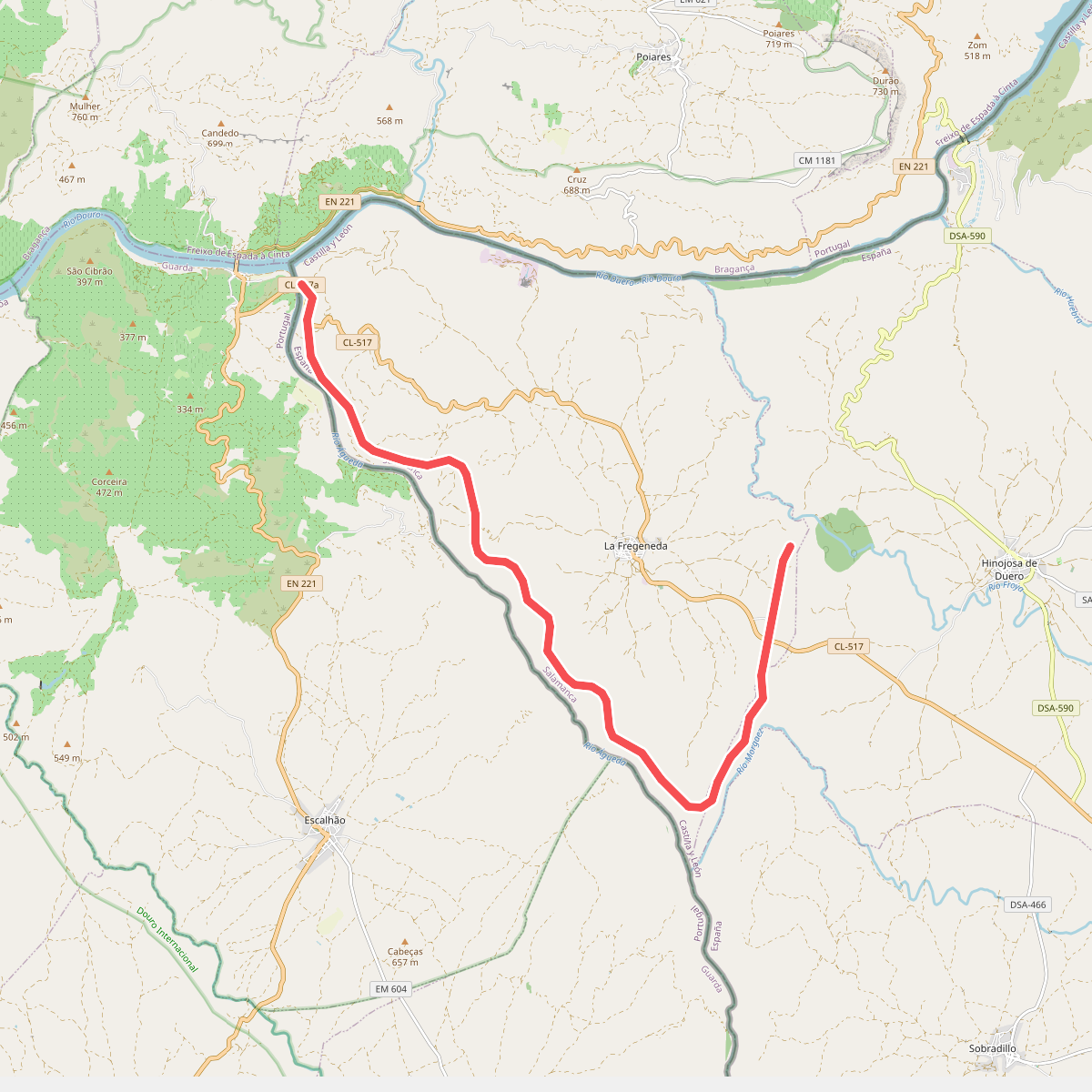
#1. Camino de Hierro
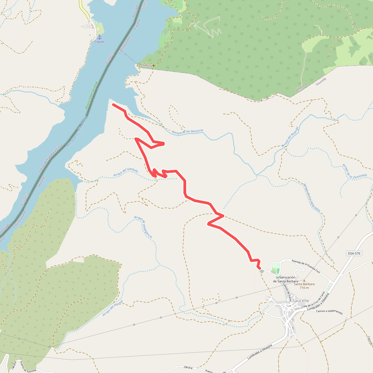
#2. Camino de la Barca
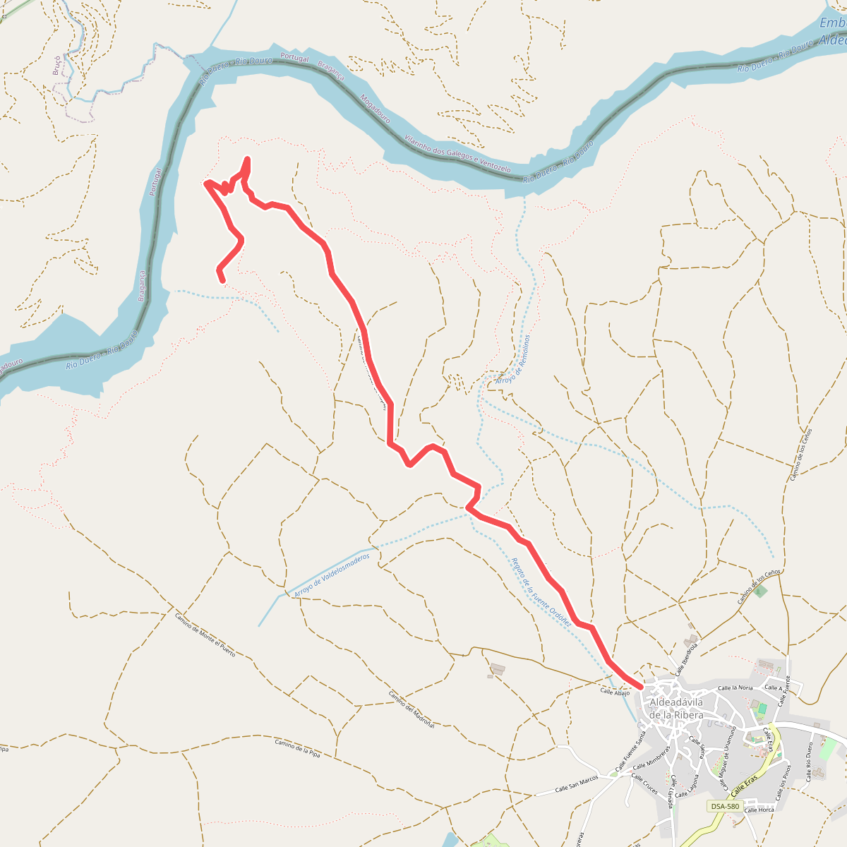
#3. camino del mirador de Rupitín
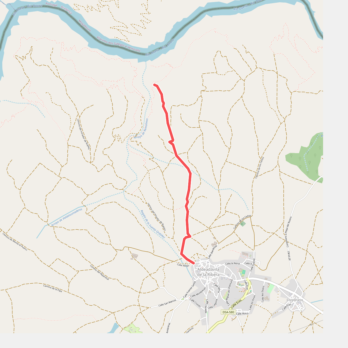
#4. camino del mirador de Rupurapay
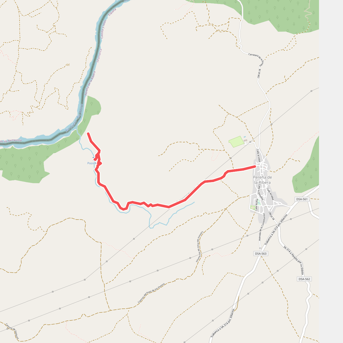
#5. Camino del Pozo Airón y Mirador del Duero
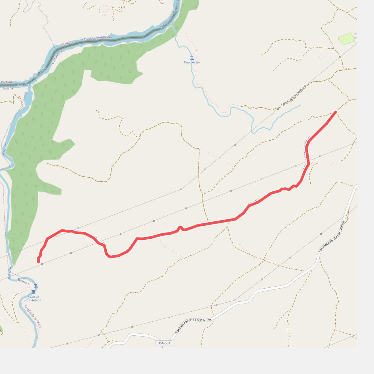
#6. Camino del Pozo de los Humos
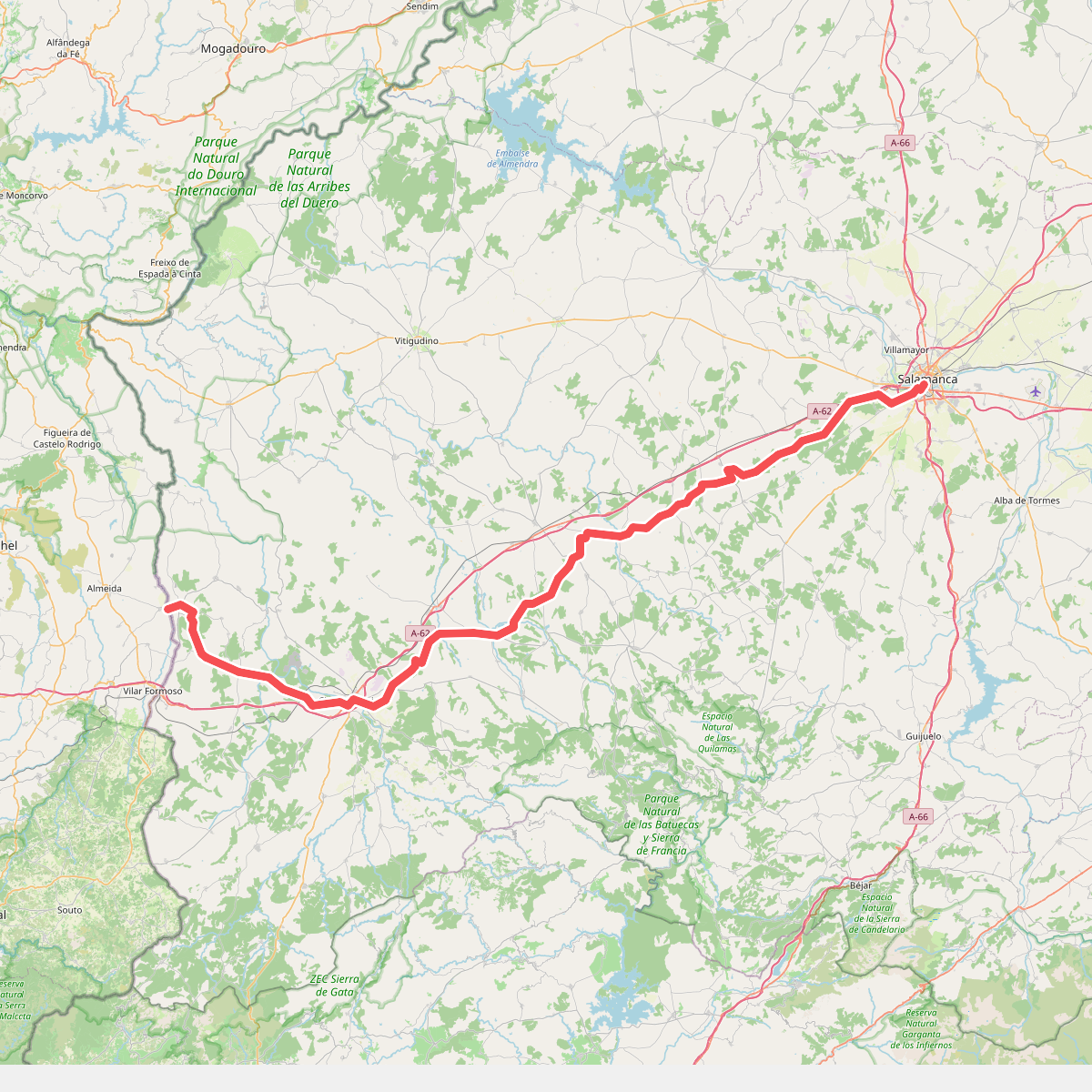
#7. Camino Torres - 01 Salamanca to Almeida
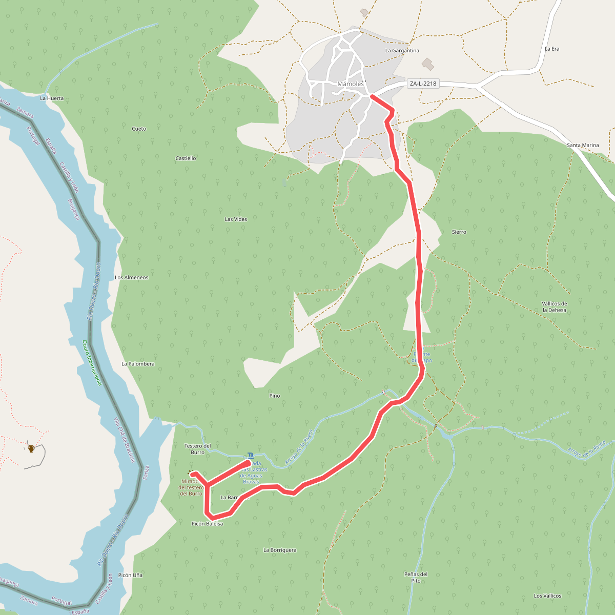
#8. Cascada de las Lastras de Aguas Bravas
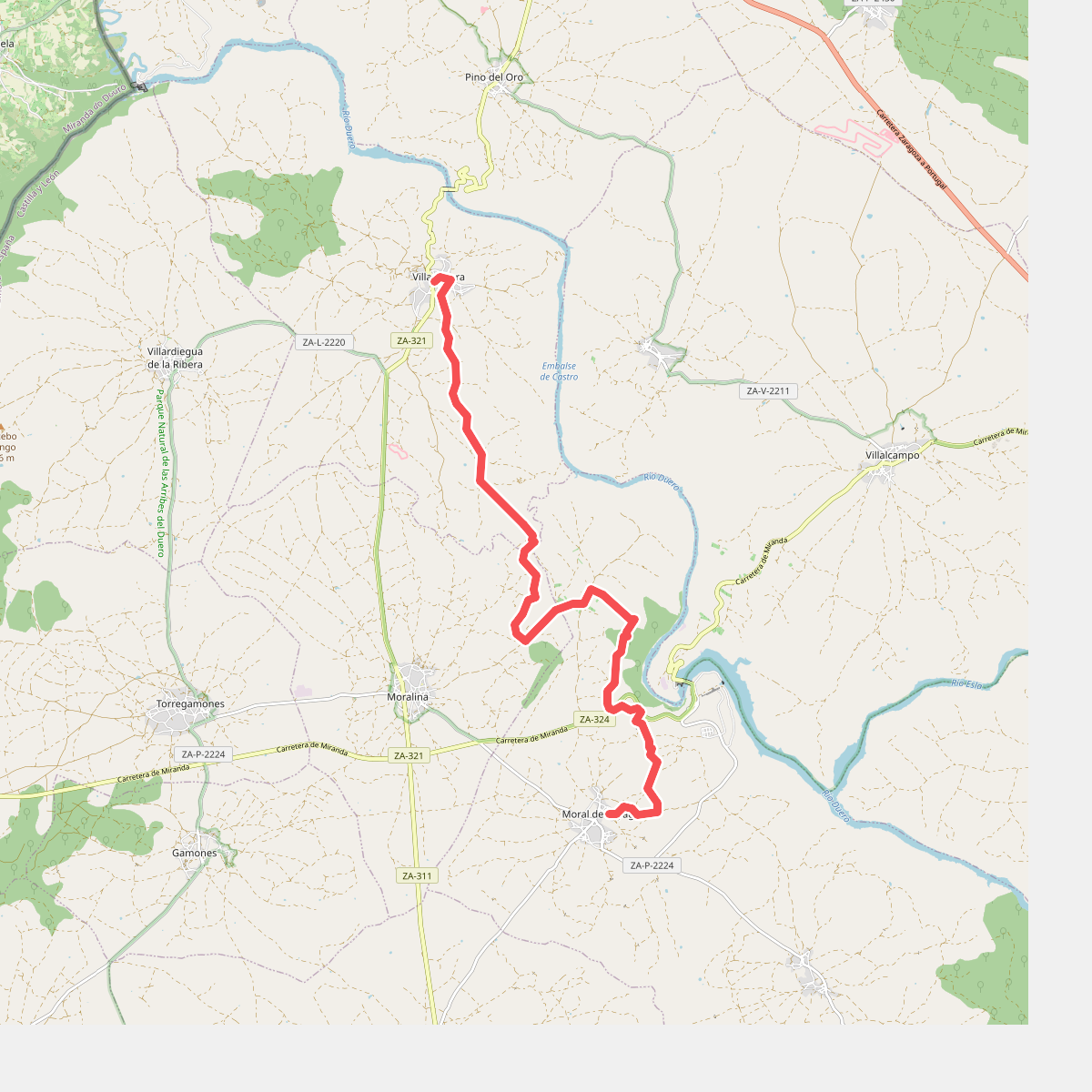
#9. Etapa 21: Moral de Sayago – Villadepera
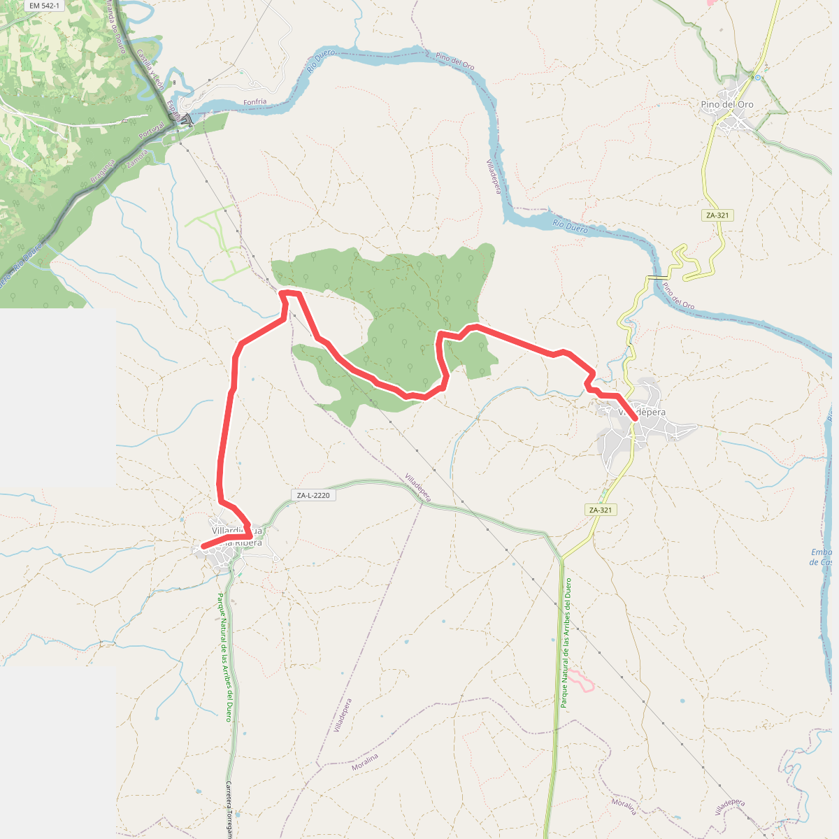
#10. Etapa 22: Villadepera – Villardiegua de la Ribera
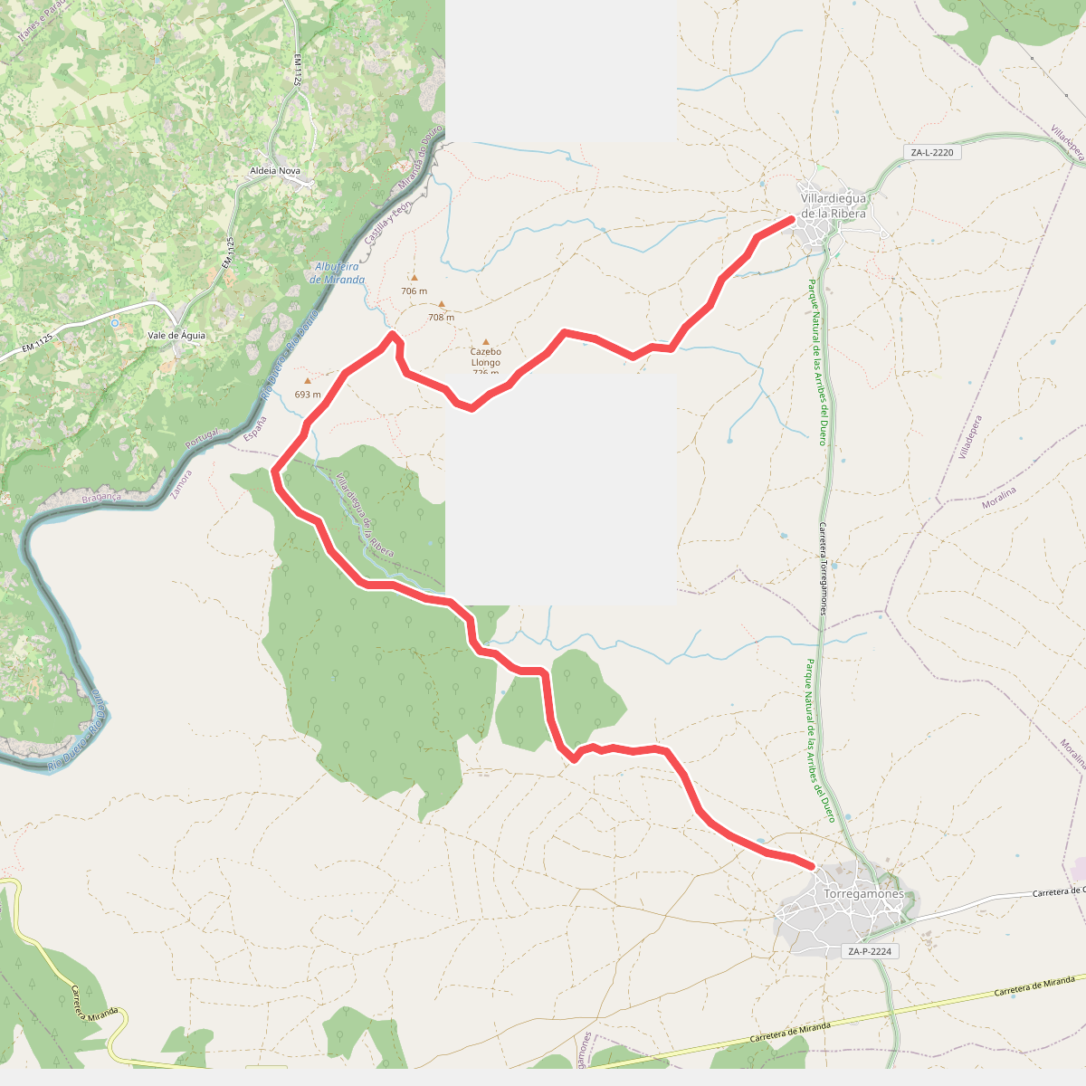
#11. Etapa 23: Villardiegua de la Ribera – Torregamones