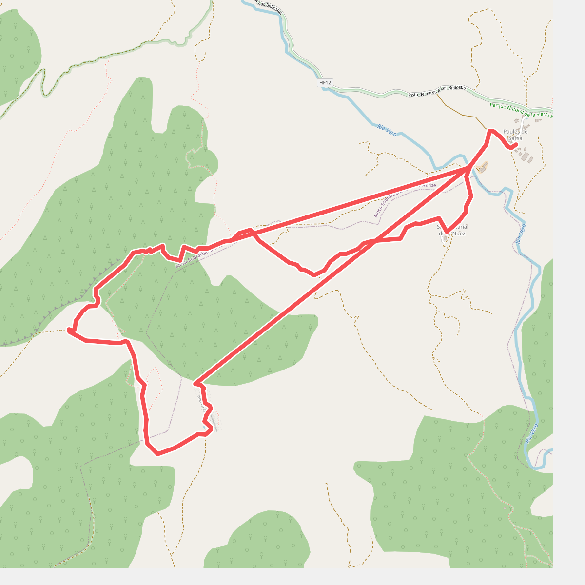
The best hiking routes in Parque Natural de la Sierra y los Cañones de Guara
Discover the best walks in Parque Natural de la Sierra y los Cañones de Guara. 17 routes on the map, with descriptions, photos and GPX.
About Parque Natural de la Sierra y los Cañones de Guara
Parque Natural de la Sierra y los Cañones de Guara is defined by its stark contrast between dry, limestone highlands and deep, water-carved gorges. Walking here means choosing between two distinct environments. The upper plateaus consist of arid, stony scrubland dominated by rosemary and holm oak, where paths are rough, sun-exposed, and stony. In contrast, the canyon floors are narrow, shaded corridors where you walk directly through or alongside active riverbeds, requiring wading shoes rather than standard hiking boots.
Read more
About Parque Natural de la Sierra y los Cañones de Guara
Parque Natural de la Sierra y los Cañones de Guara is defined by its stark contrast between dry, limestone highlands and deep, water-carved gorges. Walking here means choosing between two distinct environments. The upper plateaus consist of arid, stony scrubland dominated by rosemary and holm oak, where paths are rough, sun-exposed, and stony. In contrast, the canyon floors are narrow, shaded corridors where you walk directly through or alongside active riverbeds, requiring wading shoes rather than standard hiking boots.
Read moreParque Natural de la Sierra y los Cañones de Guara is defined by its stark contrast between dry, limestone highlands and deep, water-carved gorges. Walking here means choosing between two distinct environments. The upper plateaus consist of arid, stony scrubland dominated by rosemary and holm oak, where paths are rough, sun-exposed, and stony. In contrast, the canyon floors are narrow, shaded corridors where you walk directly through or alongside active riverbeds, requiring wading shoes rather than standard hiking boots.
The landscape is a massive limestone block that has been fractured and dissolved by water over millennia. On the trail, you will constantly see the results of this erosion in the form of vertical orange cliffs, natural stone arches, and deep pools of turquoise water. The terrain underfoot varies from loose scree on the steep descents to smooth, water-worn boulders along the river channels. Navigating the gorges often involves scrambling over rocks or wading through pools, making progress slower than on typical mountain paths.
This is not a high-alpine environment with snow-capped peaks, but rather a rugged labyrinth of canyons. While the popular water routes near Alquézar draw many visitors in July and August, the higher limestone ridges remain quiet and demanding. Walkers should expect sharp elevation changes when descending into the gorges and a hot, dry environment on the exposed ridges, where shade is almost non-existent.
Hiking routes in Parque Natural de la Sierra y los Cañones de Guara (17)
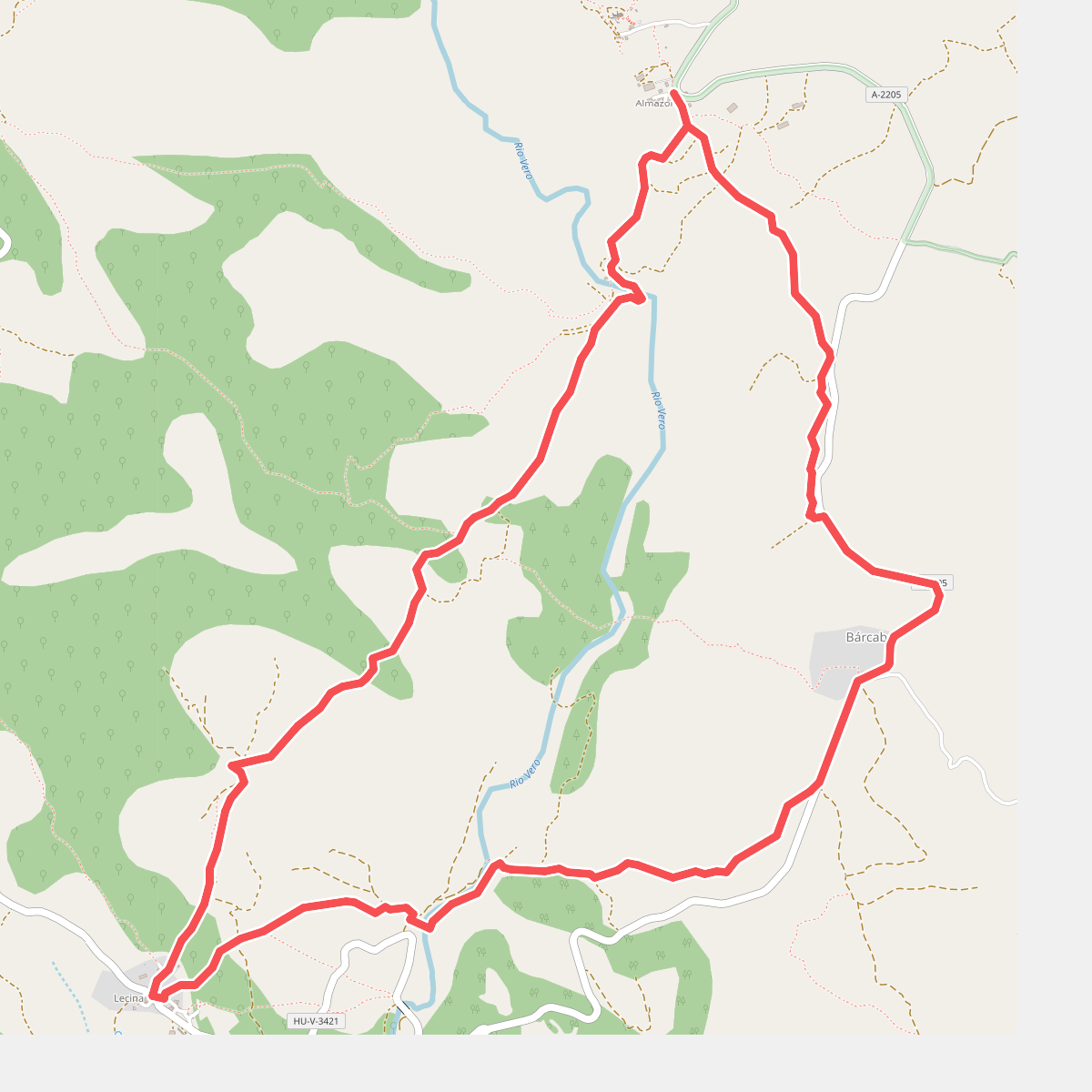
#1. Almazorre - Bárcabo - Lecina - Almazorre
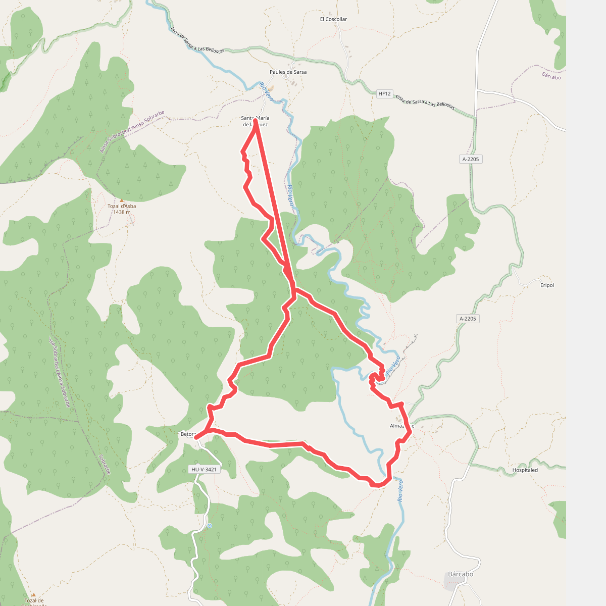
#2. Almazorre - Betorz - Almazorre
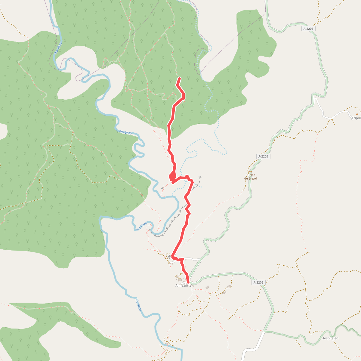
#3. Almazorre - Dolmen
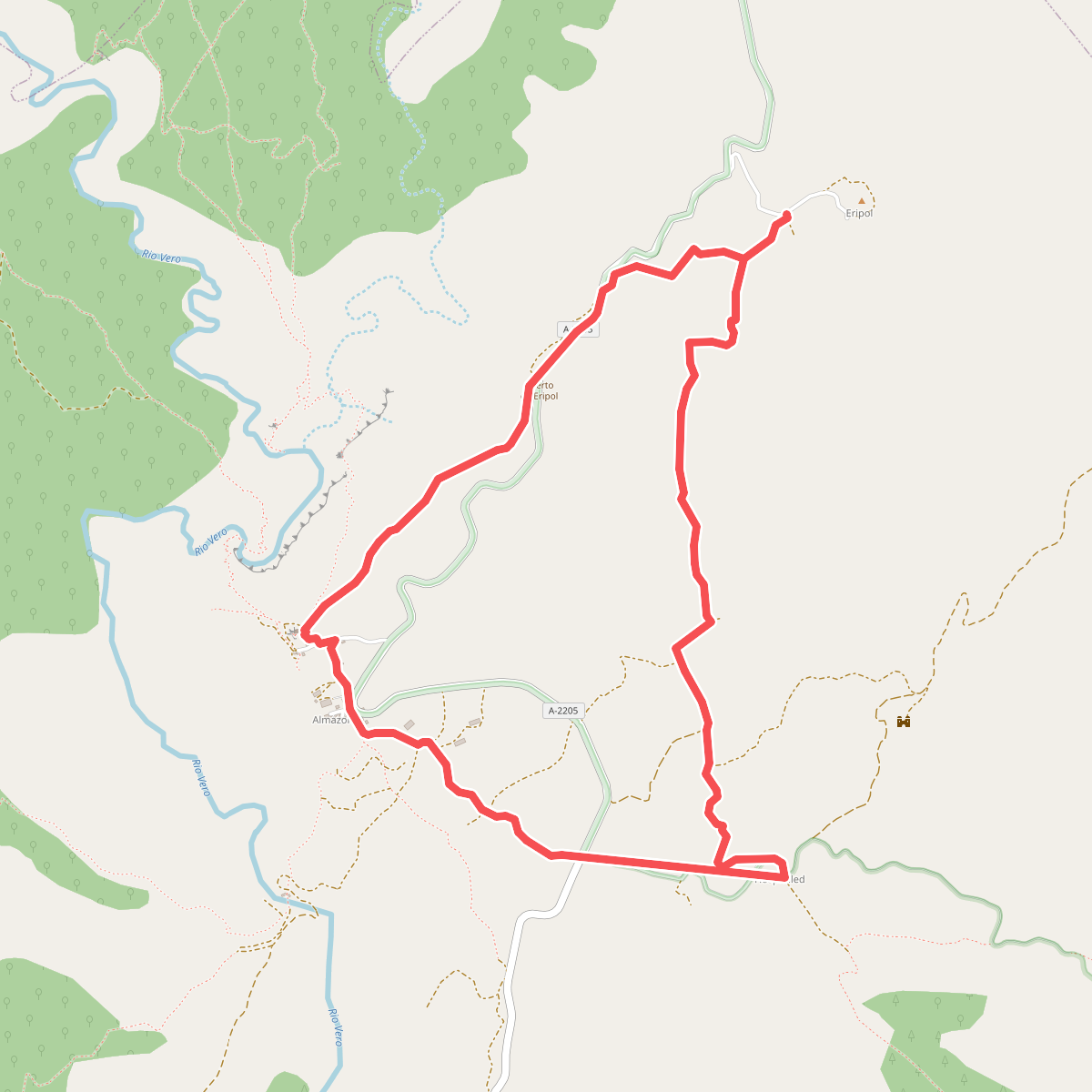
#4. Almazorre - Eripol - Hospitaled - Almazorre
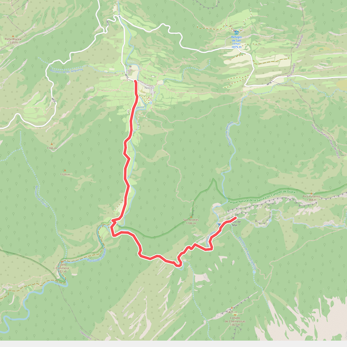
#5. Barranco de la Pillera
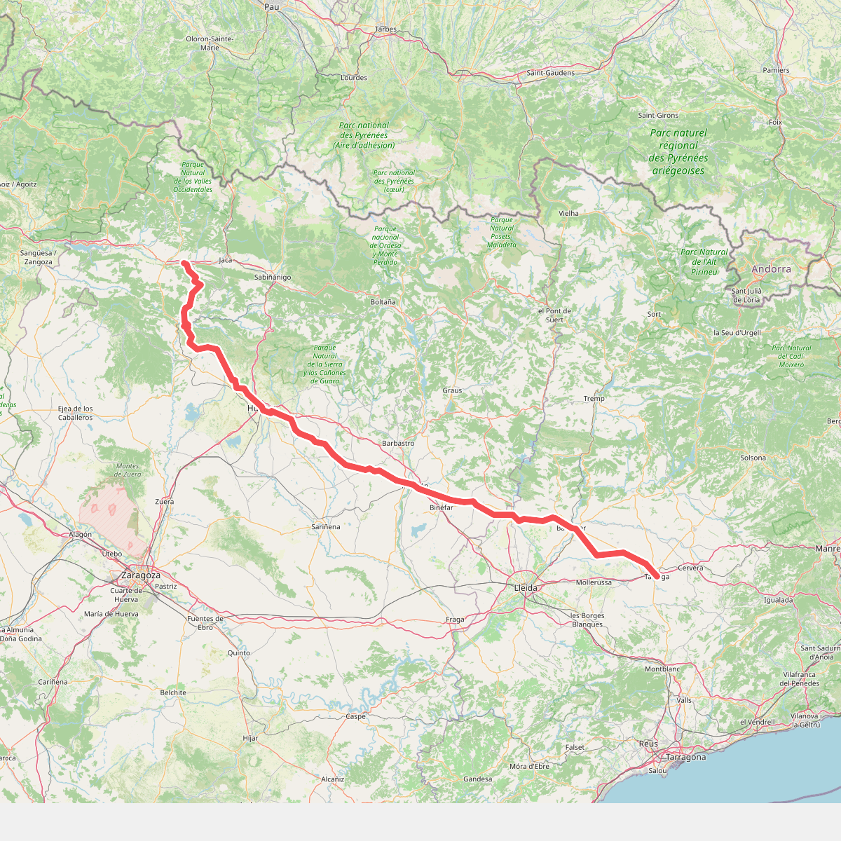
#6. Camino de Santiago por Huesca
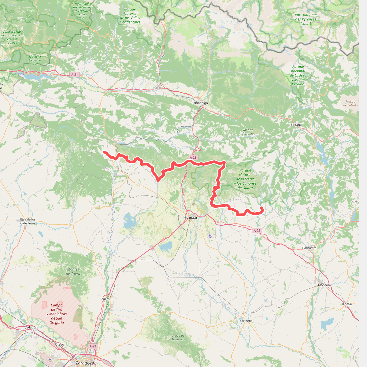
#7. Camino Natural de la Hoya de Huesca
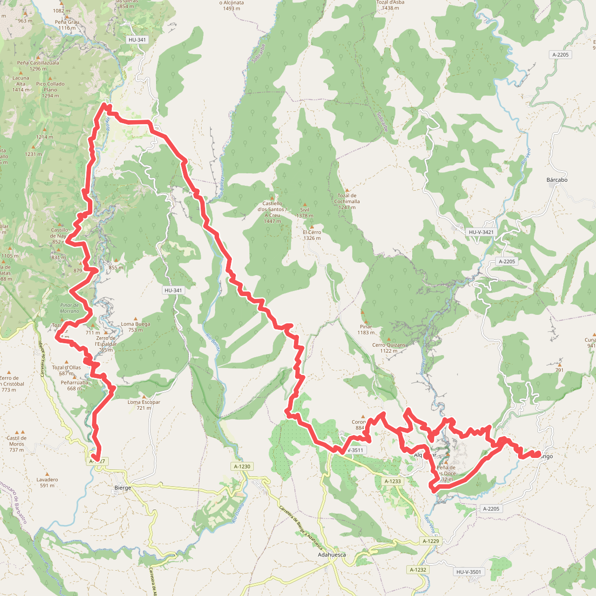
#8. Camino Natural del Somontano de Barbastro
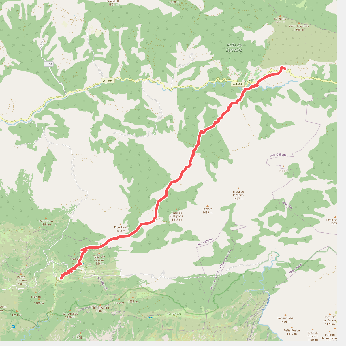
#9. Etapa 4: Laguarta - Nocito
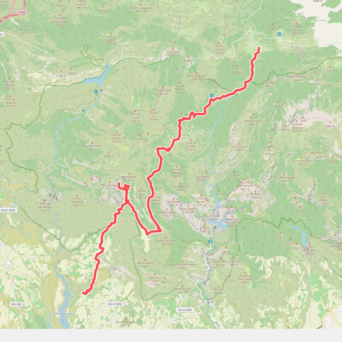
#10. Etapa 5: Nocito - Chibluco
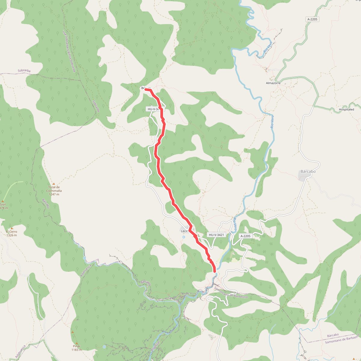
#11. Lecina - Betorz/Lecina - Fuente de Lecina