

The best hiking routes in Parque Natural de la Sierra de las Nieves
Discover the best walks in Parque Natural de la Sierra de las Nieves. 19 routes on the map, with descriptions, photos and GPX.
Managed by Junta de Andalucía
About Parque Natural de la Sierra de las Nieves
Parque Natural de la Sierra de las Nieves is defined by its stark contrast between grey limestone crags and the dark, reddish peridotite rock of the Sierra Real. Walkers will notice a sharp transition underfoot from sharp, crumbling limestone scree to the heavy, iron-rich soils of the ultramafic zones. This geological divide dictates the vegetation, where the rare Spanish fir, or pinsapo, clings to the damp, north-facing limestone gullies, while maritime pines dominate the acidic peridotite slopes.
Read more
About Parque Natural de la Sierra de las Nieves
Parque Natural de la Sierra de las Nieves is defined by its stark contrast between grey limestone crags and the dark, reddish peridotite rock of the Sierra Real. Walkers will notice a sharp transition underfoot from sharp, crumbling limestone scree to the heavy, iron-rich soils of the ultramafic zones. This geological divide dictates the vegetation, where the rare Spanish fir, or pinsapo, clings to the damp, north-facing limestone gullies, while maritime pines dominate the acidic peridotite slopes.
Read moreParque Natural de la Sierra de las Nieves is defined by its stark contrast between grey limestone crags and the dark, reddish peridotite rock of the Sierra Real. Walkers will notice a sharp transition underfoot from sharp, crumbling limestone scree to the heavy, iron-rich soils of the ultramafic zones. This geological divide dictates the vegetation, where the rare Spanish fir, or pinsapo, clings to the damp, north-facing limestone gullies, while maritime pines dominate the acidic peridotite slopes.
The trail network ranges from wide, dusty forestry tracks to narrow, stony mule paths that climb steeply through the mountain passes. Unlike the softer, clay-based hills of the surrounding Andalusian countryside, the ground here is relentlessly rocky and unforgiving on the ankles. Water is scarce on the high ridges, where the limestone swallows rainfall into deep underground cave systems, leaving the surface dry and exposed.
In May, the high-altitude meadows below the Torrecilla peak show a brief flush of wildflowers before the summer heat dries the landscape. While the lower pine forests offer some shade, the higher passes are completely open to the elements, with no shelter from the sun. The area lacks the lush, permanent streams found in wetter mountain ranges, offering instead a rugged, arid terrain of deep ravines and exposed grey cliffs.
Hiking routes in Parque Natural de la Sierra de las Nieves (19)
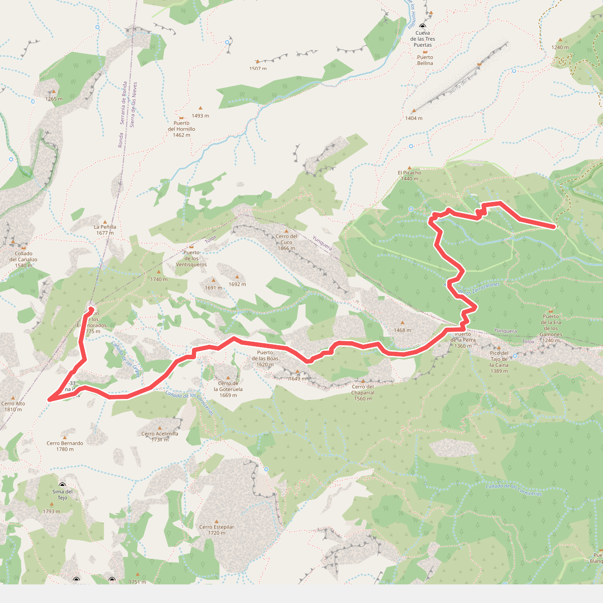
#1. Caucón - Peñón de los Enamorados
Yunquera,Tolox
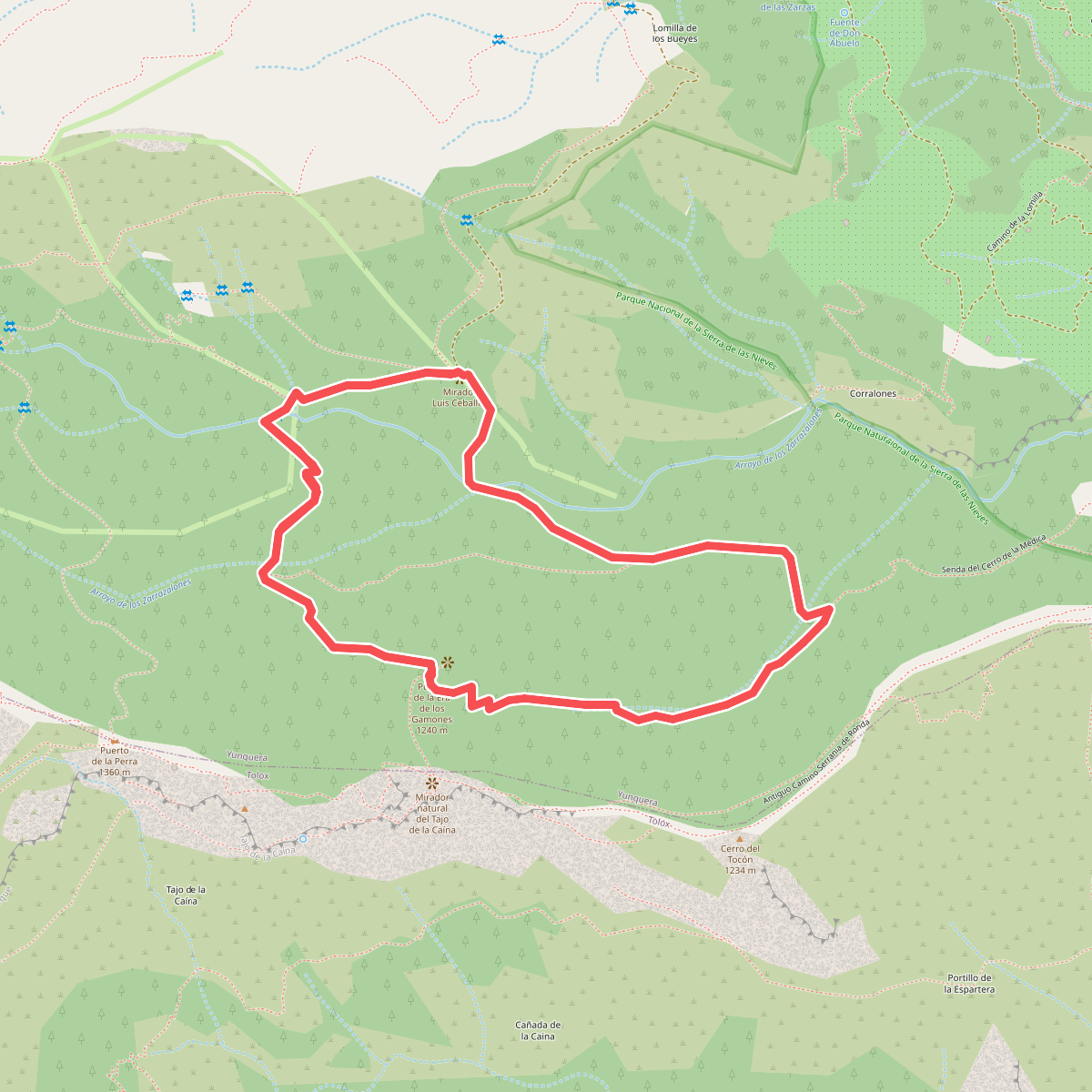
#2. Caucón - Tajo de la Caína
Yunquera
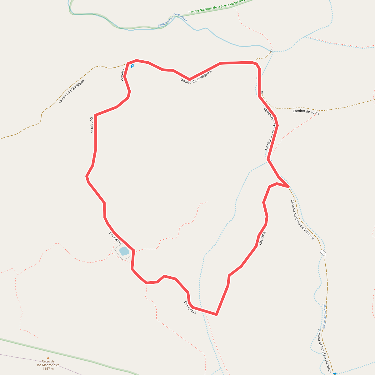
#3. Conejeras
Parauta

#4. El Burgo - La Fuensanta
El Burgo
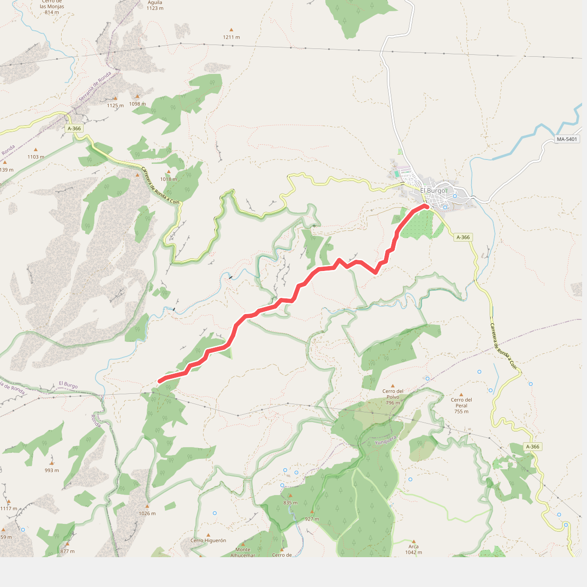
#5. El Burgo - Puerto de la Mujer
El Burgo
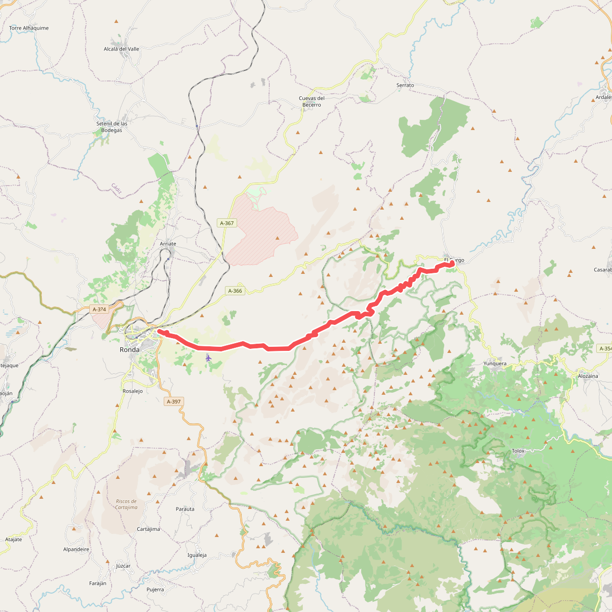
#6. El Burgo - Ronda
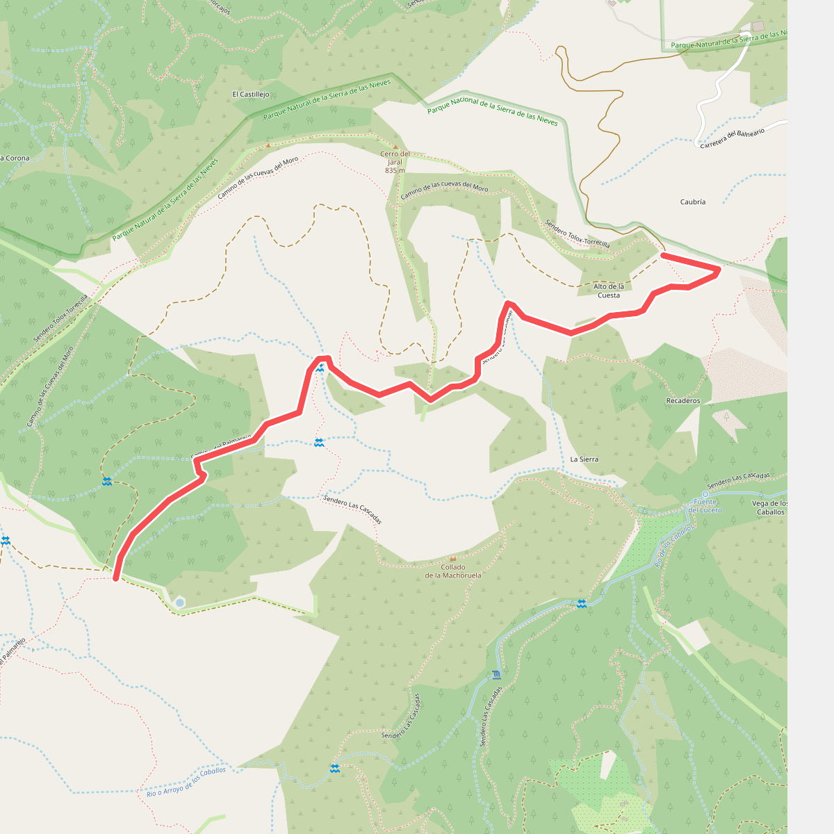
#7. La Rejía
Tolox
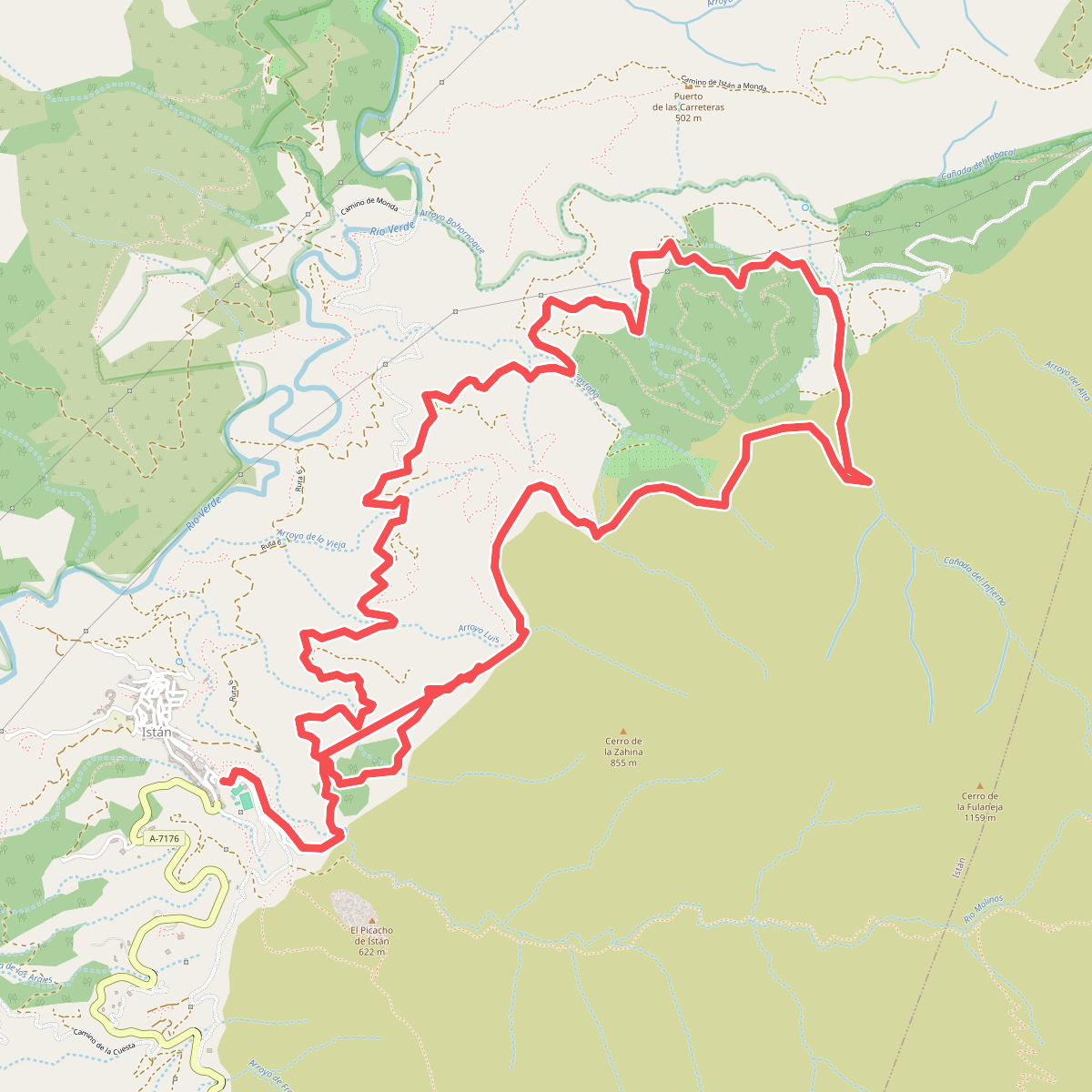
#8. PR-A 136 Istán - Cañada del Infierno
Istán
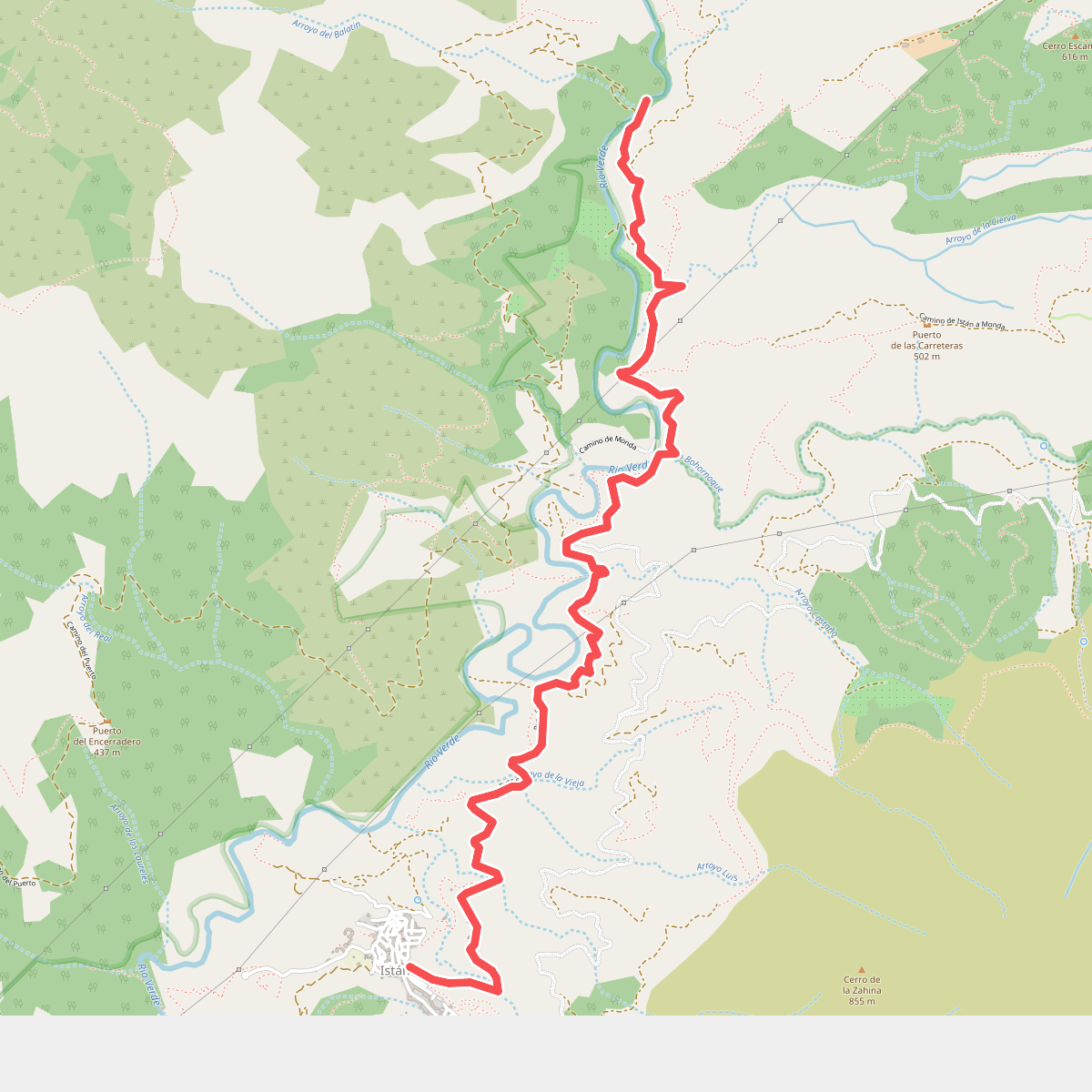
#9. PR-A 280 Charco del Canalón
Istán
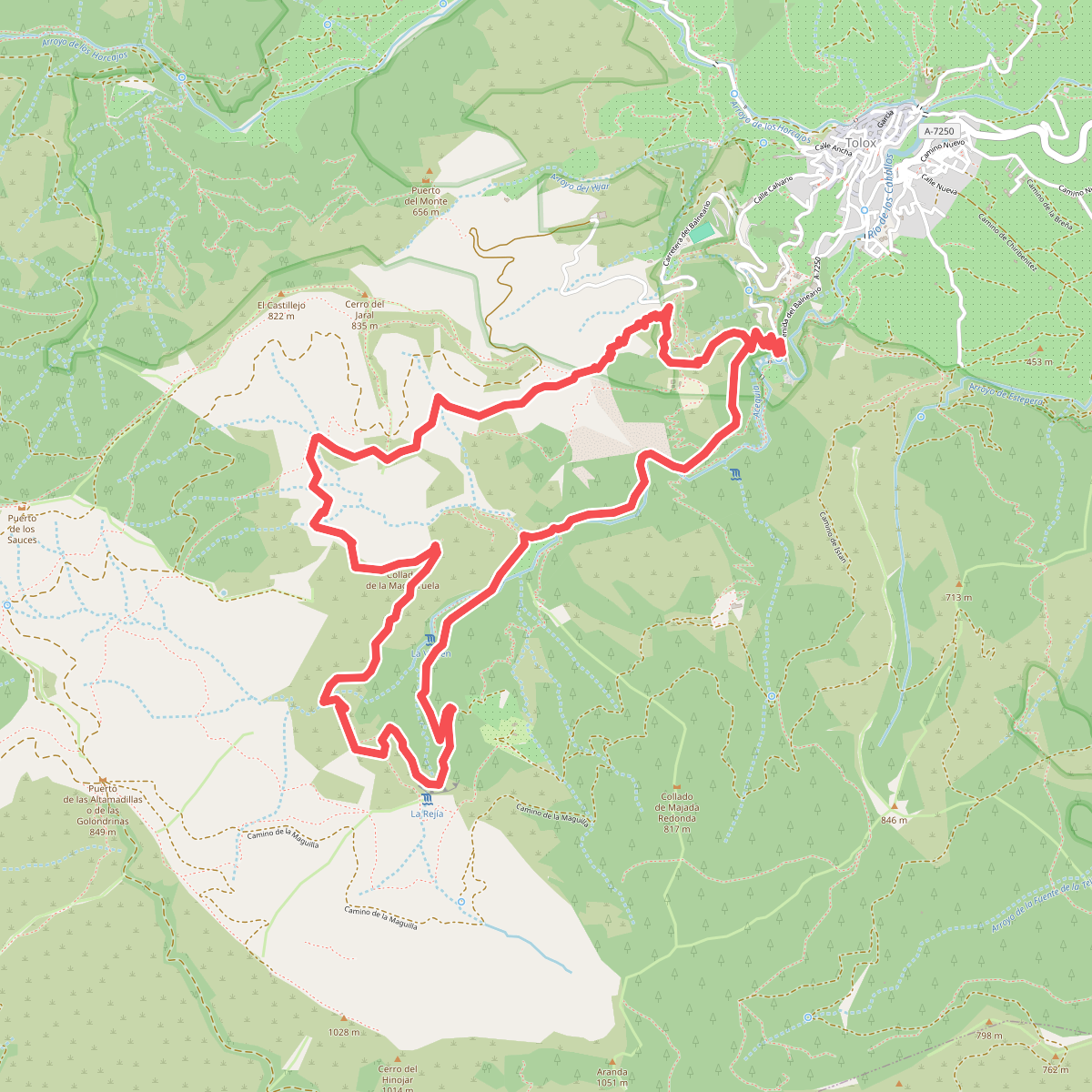
#10. PR-A 282 Las Cascadas
Tolox
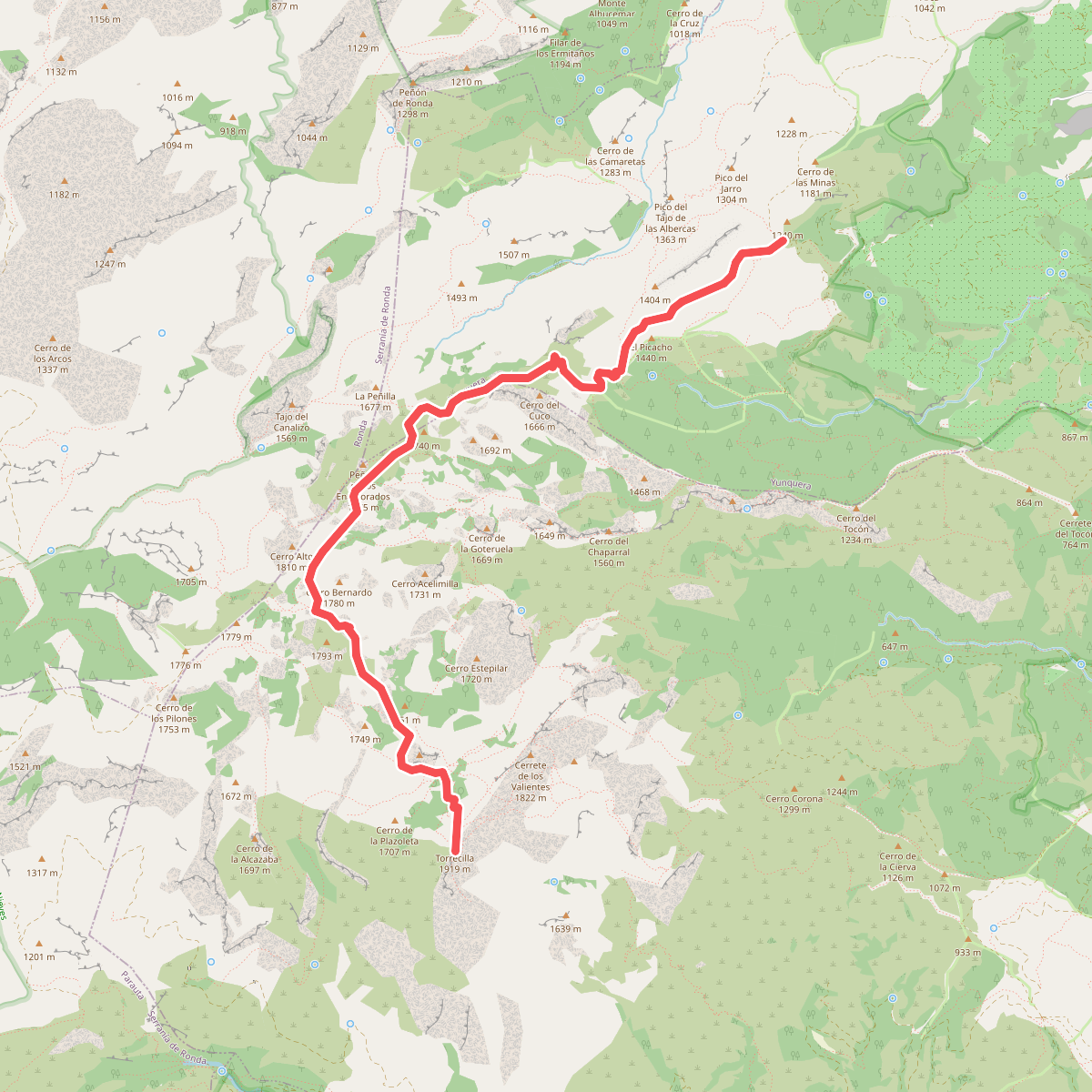
#11. PR-A 351 Puerto Saucillo - Torrecilla
Yunquera,Tolox
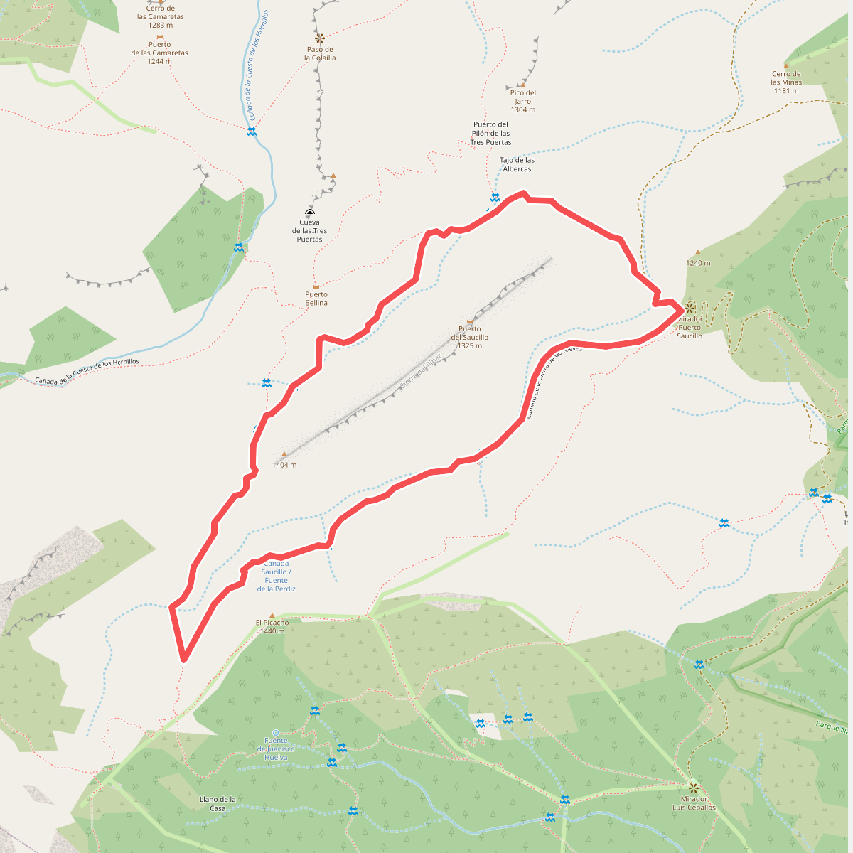
#12. PUERTO SAUCILLO-PUERTO BELLINA
Yunquera



