The best hiking routes in Parque Natural de la Bahía de Cádiz
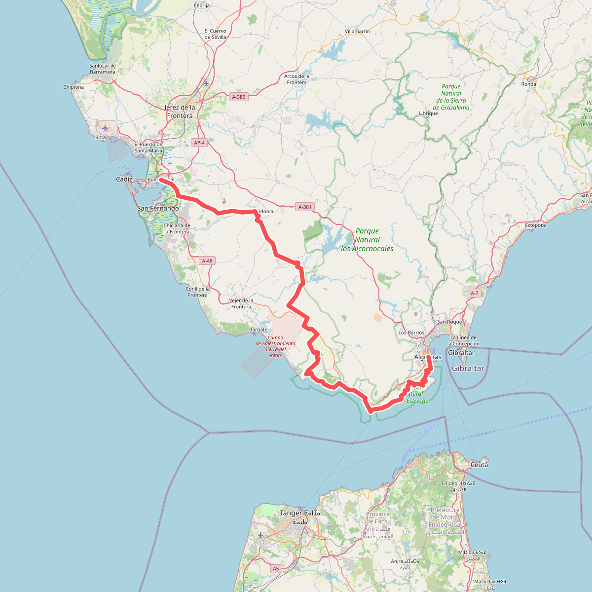
Discover the best walks in Parque Natural de la Bahía de Cádiz. 1 routes on the map, with descriptions, photos and GPX.
About Parque Natural de la Bahía de Cádiz
Parque Natural de la Bahía de Cádiz consists of a low-lying, tidal landscape shaped by salt marshes, pine forests, and sandy beaches. Unlike the rocky cliffs or high peaks found further inland in Andalusia, this coastal park is entirely flat, dominated by the rise and fall of the Atlantic tides. Walkers will find a terrain defined by human intervention, where ancient salt pans have been converted into shallow lagoons and fish ponds, creating a complex network of waterways.
Read more
About Parque Natural de la Bahía de Cádiz
Parque Natural de la Bahía de Cádiz consists of a low-lying, tidal landscape shaped by salt marshes, pine forests, and sandy beaches. Unlike the rocky cliffs or high peaks found further inland in Andalusia, this coastal park is entirely flat, dominated by the rise and fall of the Atlantic tides. Walkers will find a terrain defined by human intervention, where ancient salt pans have been converted into shallow lagoons and fish ponds, creating a complex network of waterways.
Read moreParque Natural de la Bahía de Cádiz consists of a low-lying, tidal landscape shaped by salt marshes, pine forests, and sandy beaches. Unlike the rocky cliffs or high peaks found further inland in Andalusia, this coastal park is entirely flat, dominated by the rise and fall of the Atlantic tides. Walkers will find a terrain defined by human intervention, where ancient salt pans have been converted into shallow lagoons and fish ponds, creating a complex network of waterways.
Underfoot, the paths vary significantly depending on where you choose to walk. The pine forests, such as those near La Algaida, offer firm dirt tracks covered in pine needles and sand, while the open salt marshes are crossed by raised earthen dikes and occasional wooden boardwalks. In contrast, walking along the beaches of Torregorda or Sancti Petri means navigating loose, deep sand. There are no signposted mountain trails here, only wide, level tracks that trace the edges of the estuaries.
During the autumn migration in September and October, the mudflats and shallow pools fill with thousands of wading birds, which are easily visible from the trailside observatories. The lack of natural shade in the open marshlands means these sections are highly exposed, making the sheltered pine woods a more comfortable alternative when seeking cover from the direct midday heat.