The best hiking routes in Parque Natural de Bahía de Cádiz
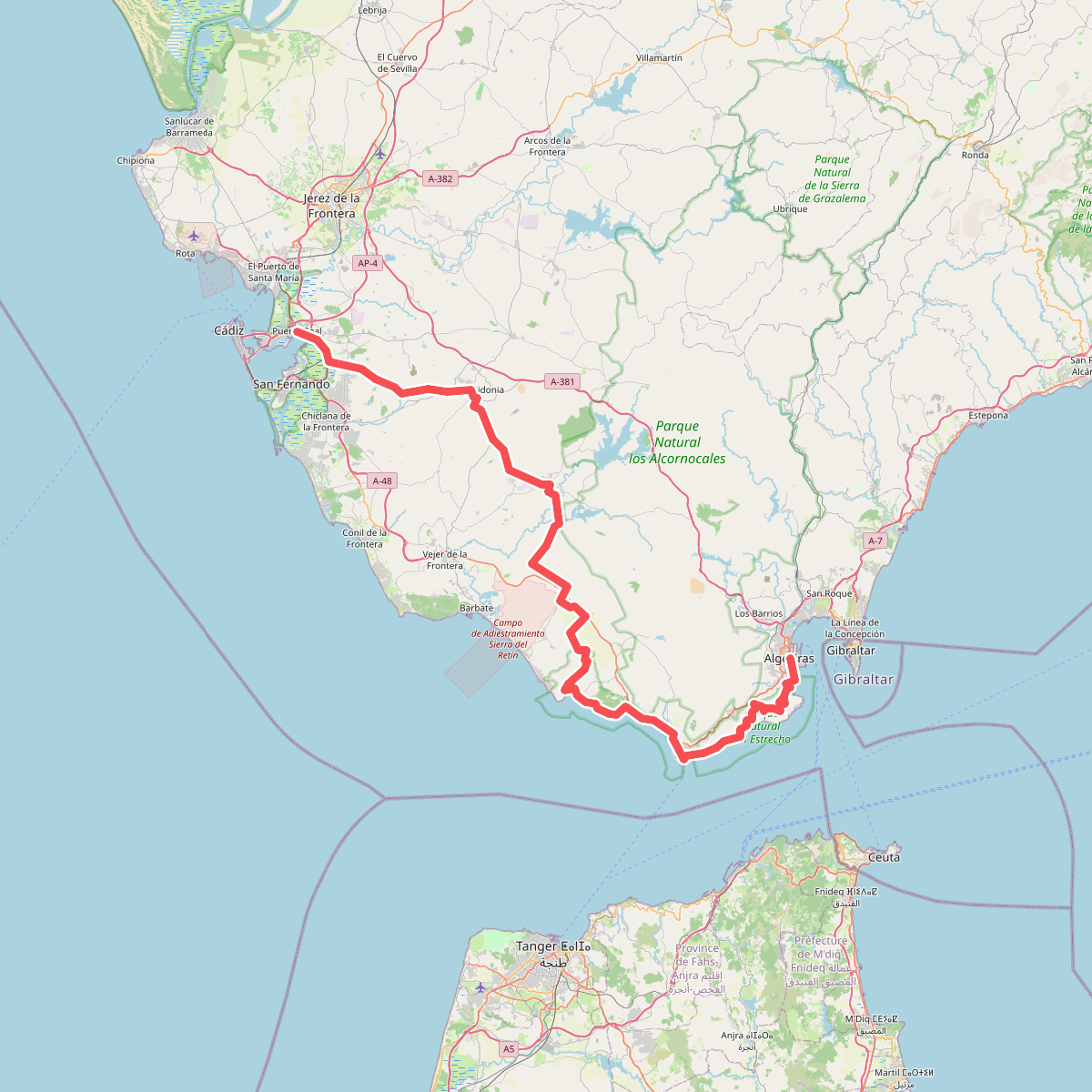
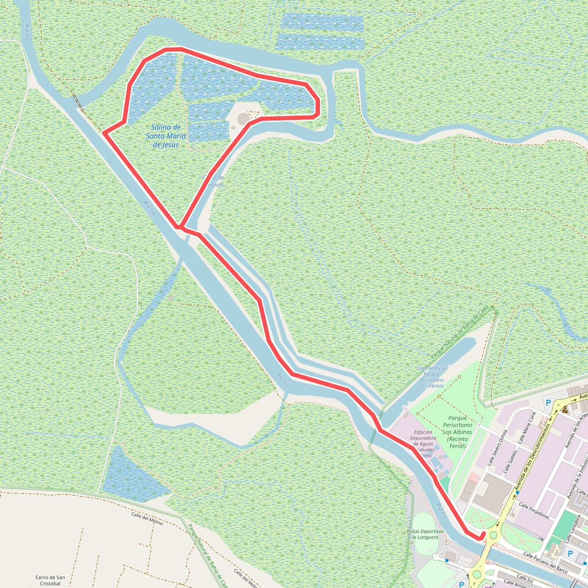
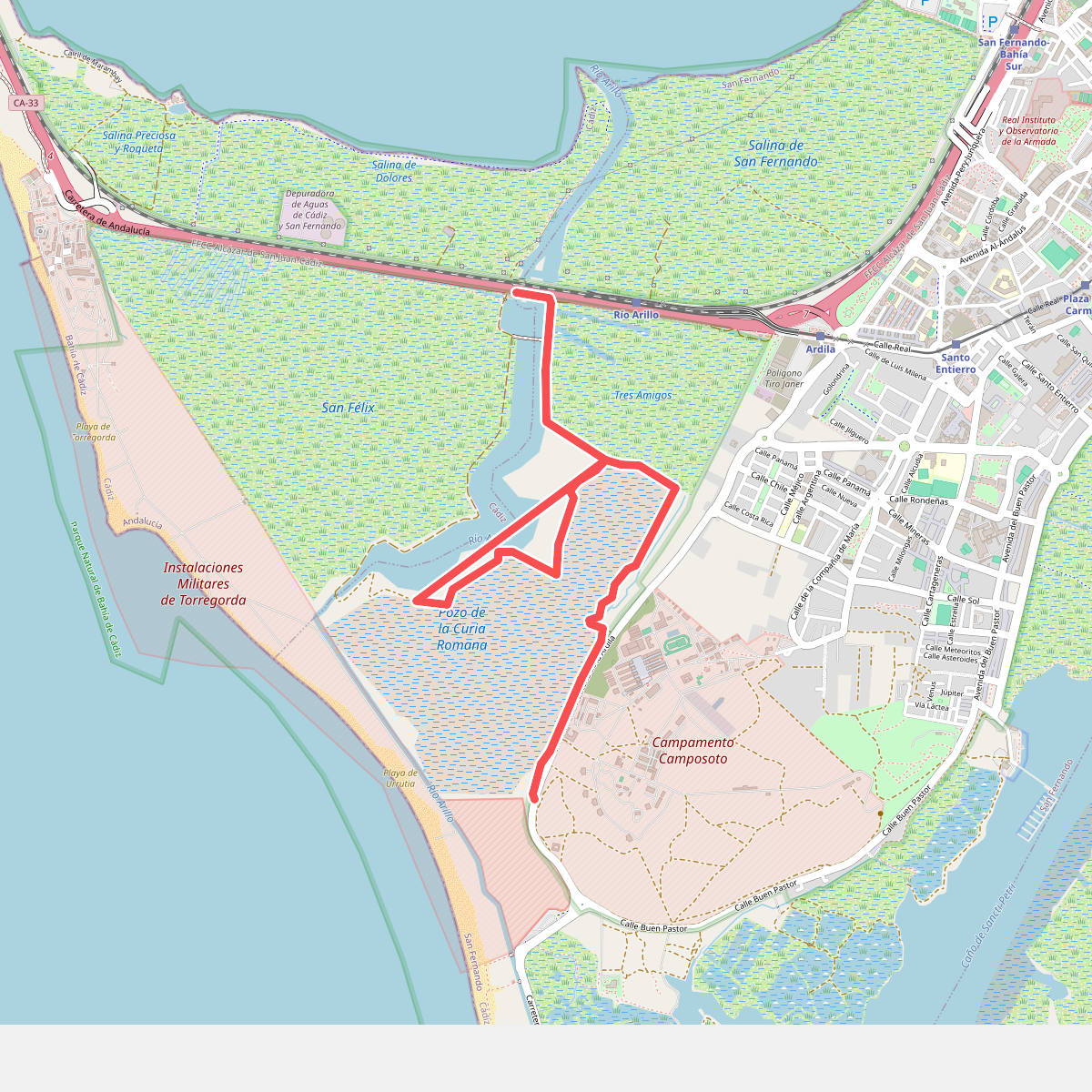
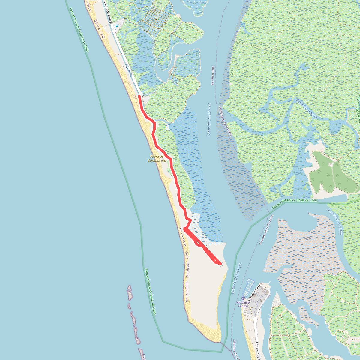
Discover the best walks in Parque Natural de Bahía de Cádiz. 4 routes on the map, with descriptions, photos and GPX.
About Parque Natural de Bahía de Cádiz
Parque Natural de Bahía de Cádiz is a low-lying coastal wetland shaped by human salt extraction and tidal movements. The landscape is a flat network of salt marshes, active and abandoned salt pans, tidal creeks, and pine forests. Walking here does not offer hills or deep valleys; instead, the terrain is entirely flat, dominated by the horizontal lines of dikes and water channels. You will notice how the vegetation shifts from salt-tolerant shrubs on the marsh edges to stone pines growing on the sandy dunes further inland.
Read more
About Parque Natural de Bahía de Cádiz
Parque Natural de Bahía de Cádiz is a low-lying coastal wetland shaped by human salt extraction and tidal movements. The landscape is a flat network of salt marshes, active and abandoned salt pans, tidal creeks, and pine forests. Walking here does not offer hills or deep valleys; instead, the terrain is entirely flat, dominated by the horizontal lines of dikes and water channels. You will notice how the vegetation shifts from salt-tolerant shrubs on the marsh edges to stone pines growing on the sandy dunes further inland.
Read moreParque Natural de Bahía de Cádiz is a low-lying coastal wetland shaped by human salt extraction and tidal movements. The landscape is a flat network of salt marshes, active and abandoned salt pans, tidal creeks, and pine forests. Walking here does not offer hills or deep valleys; instead, the terrain is entirely flat, dominated by the horizontal lines of dikes and water channels. You will notice how the vegetation shifts from salt-tolerant shrubs on the marsh edges to stone pines growing on the sandy dunes further inland.
Underfoot, the paths vary significantly depending on which part of the bay you explore. The pine forests, such as those near La Algaida, feature sandy tracks and wooden boardwalks that keep you above the damp ground. In contrast, walking through the salt marshes of Sancti Petri or Tres Amigos means following dirt tracks along the tops of narrow earthen dikes. These dikes can be clayey and uneven, requiring careful stepping, especially where the tide has eroded the banks.
This is a working landscape where tidal gates and old stone mills show how water has been managed for centuries. In September, you can observe migratory wading birds feeding in the shallow mudflats exposed by the retreating tide. While the outer beaches and popular pine woods attract more visitors, the inner salt pan tracks remain quiet, offering a straightforward walking experience focused on coastal birdlife and maritime vegetation.