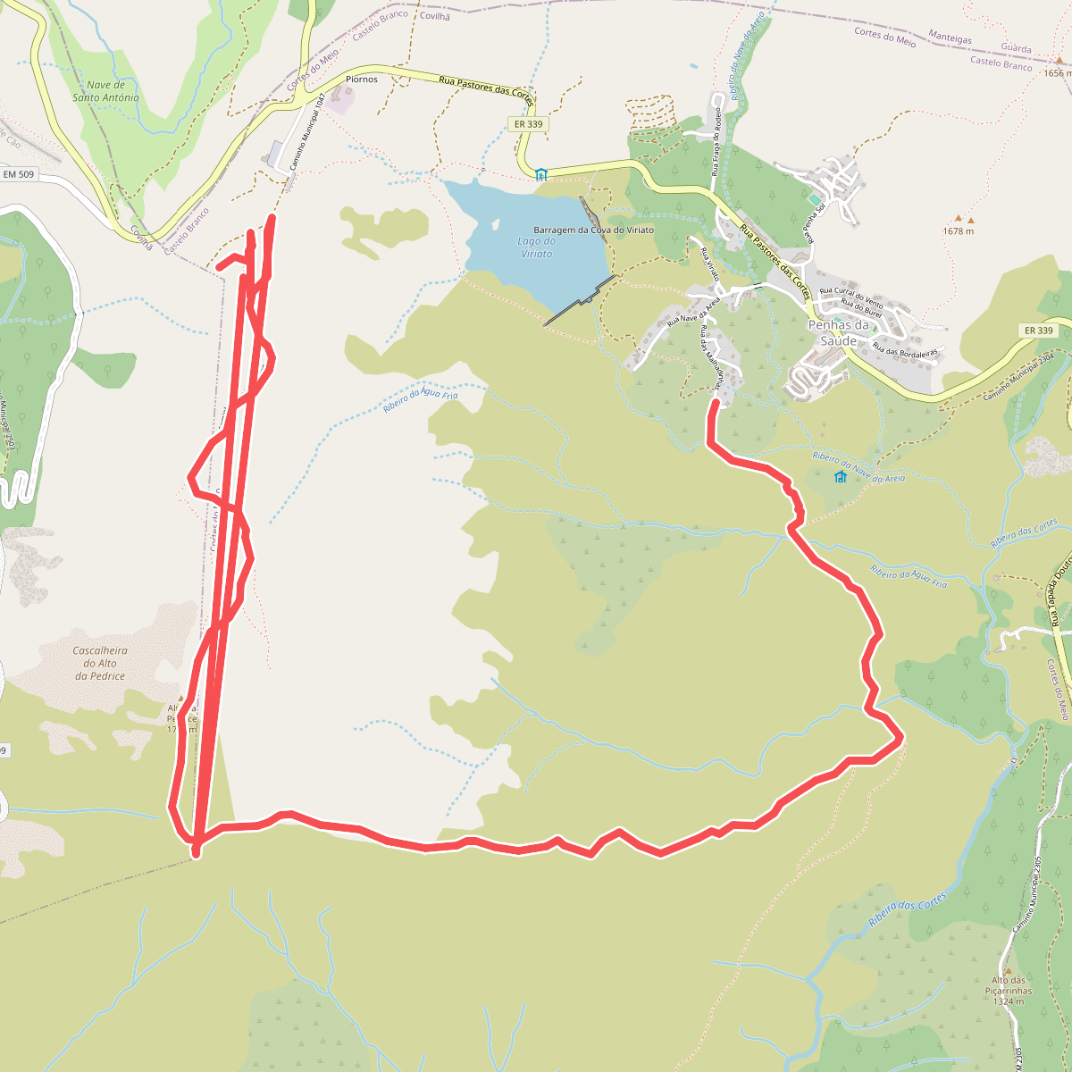
The best hiking routes in Parque Natural da Serra da Estrela
Discover the best walks in Parque Natural da Serra da Estrela. 41 routes on the map, with descriptions, photos and GPX.
Managed by Instituto da Conservação da Natureza e das Florestas
About Parque Natural da Serra da Estrela
Parque Natural da Serra da Estrela contains the highest ground in continental Portugal, defined by a stark contrast between high-altitude granite plateaus and deep, glacier-carved valleys. On the upper elevations around Torre, the landscape is stripped of dense forest, presenting vast expanses of exposed rock, low-growing scrub, and high-altitude bogs. Lower down, the slopes are cut by steep ravines where terraced agricultural plots and pine plantations take over, showing how human settlement has adapted to the rugged terrain.
Read more
About Parque Natural da Serra da Estrela
Parque Natural da Serra da Estrela contains the highest ground in continental Portugal, defined by a stark contrast between high-altitude granite plateaus and deep, glacier-carved valleys. On the upper elevations around Torre, the landscape is stripped of dense forest, presenting vast expanses of exposed rock, low-growing scrub, and high-altitude bogs. Lower down, the slopes are cut by steep ravines where terraced agricultural plots and pine plantations take over, showing how human settlement has adapted to the rugged terrain.
Read moreParque Natural da Serra da Estrela contains the highest ground in continental Portugal, defined by a stark contrast between high-altitude granite plateaus and deep, glacier-carved valleys. On the upper elevations around Torre, the landscape is stripped of dense forest, presenting vast expanses of exposed rock, low-growing scrub, and high-altitude bogs. Lower down, the slopes are cut by steep ravines where terraced agricultural plots and pine plantations take over, showing how human settlement has adapted to the rugged terrain.
Underfoot, walkers will encounter a mix of rough granite slabs, loose stony tracks, and occasional paved roads connecting the mountain villages. The high plateau lacks marked tree cover, meaning you are fully exposed to the elements, with snow often covering the highest trails from December through April. In the glacial valleys, such as the Vale Glaciar do Zêzere, the paths follow the valley floor among boulder fields and broom shrubs, offering more defined routes than the open, trackless granite domes above.
This park is not a gentle woodland walk; the terrain is steep, rocky, and demanding, requiring careful navigation when low cloud descends on the plateau. While the main road summits can become busy with visitors, the walking trails quickly lead into quieter, isolated valleys where the scale of the glacial erosion is the defining feature. Walkers should expect physical climbs over uneven stone rather than flat, manicured gravel paths.
Hiking routes in Parque Natural da Serra da Estrela (41)
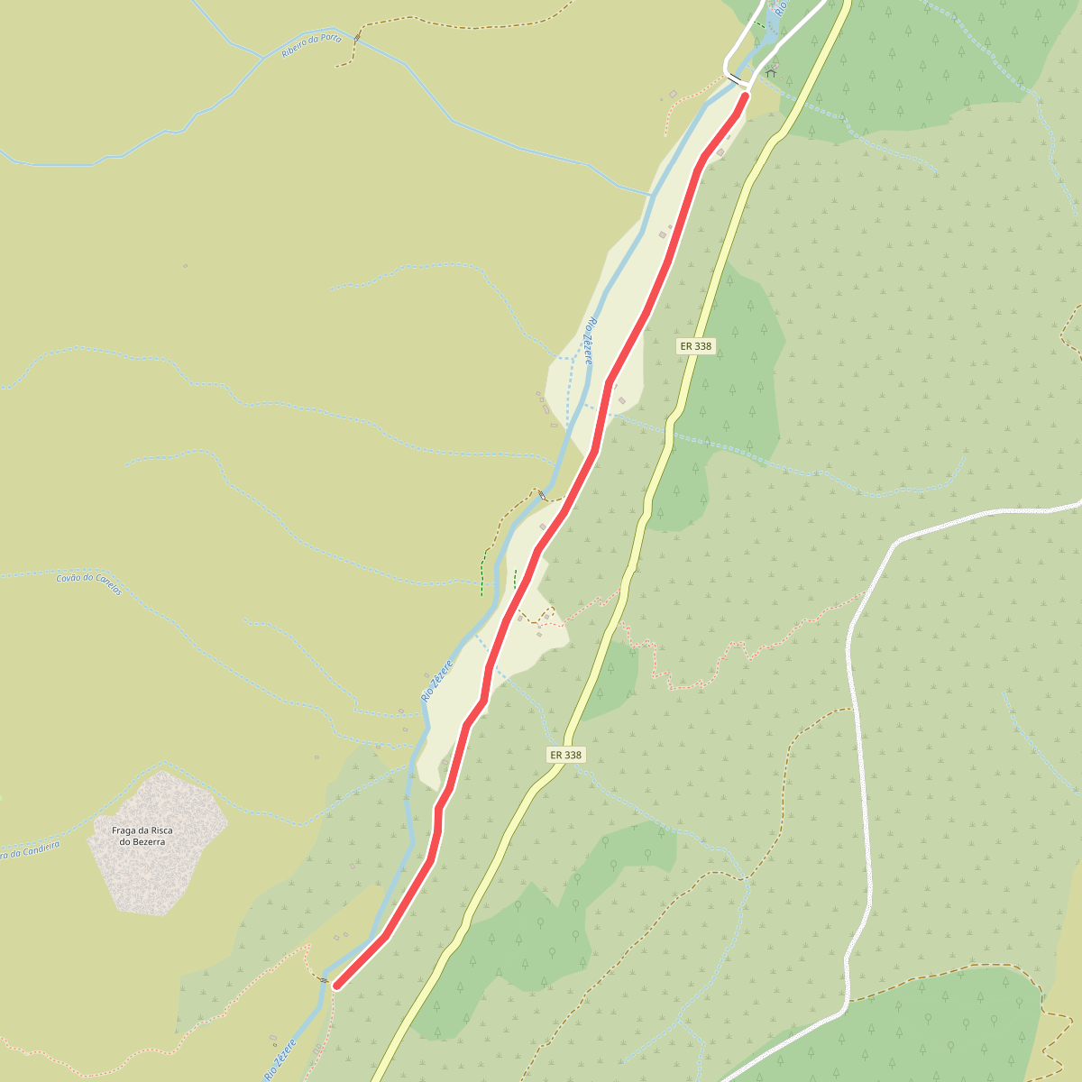
#1. Estação da Biodiversidade do Vale do Zêzere
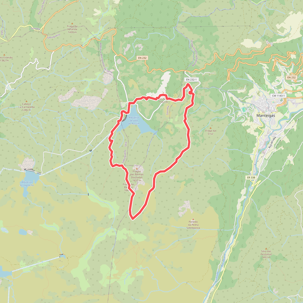
#2. Fraga das Penhas
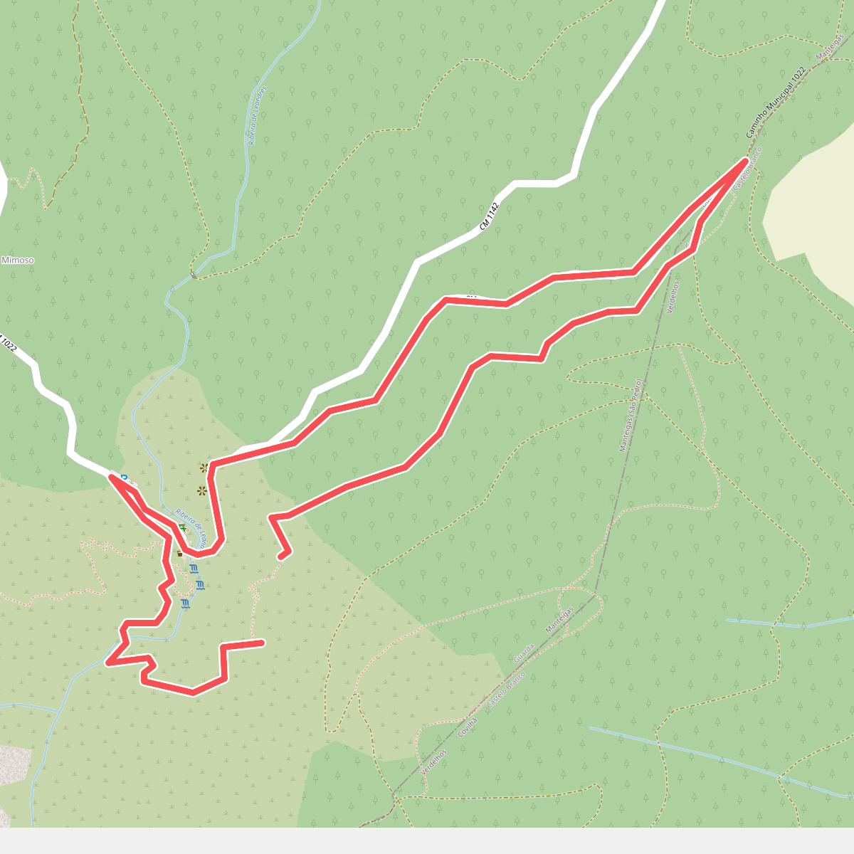
#3. Poço do Inferno
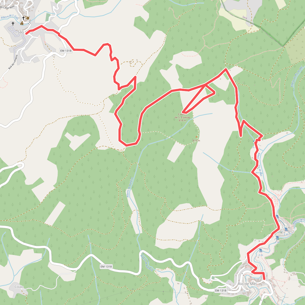
#4. Rio de Mel to São Gião
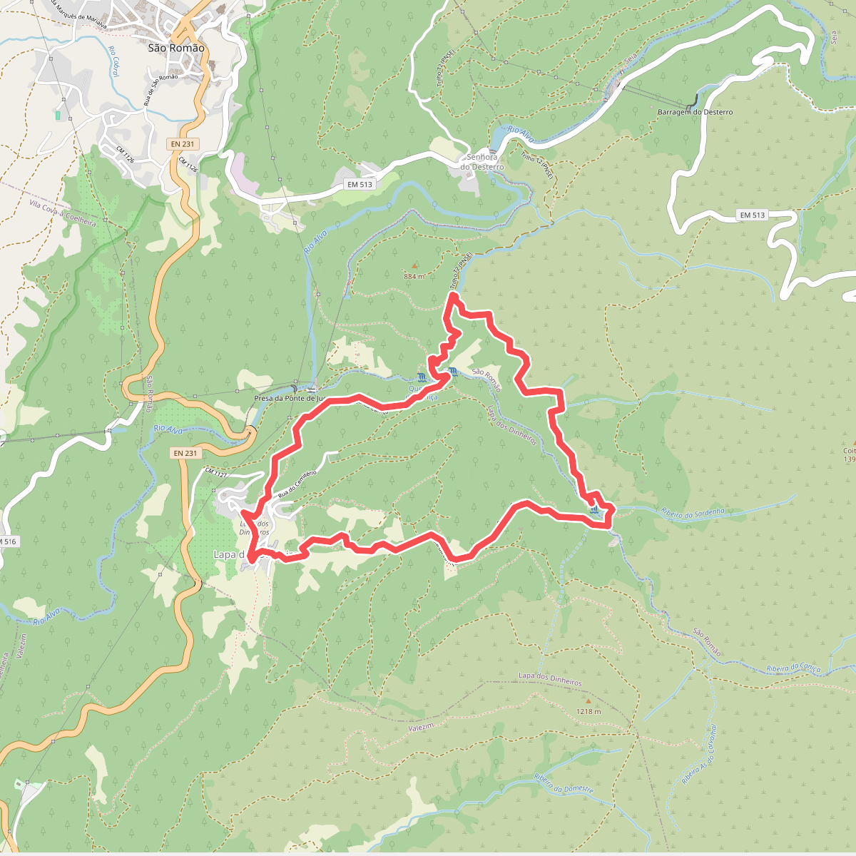
#5. Rota da Caniça
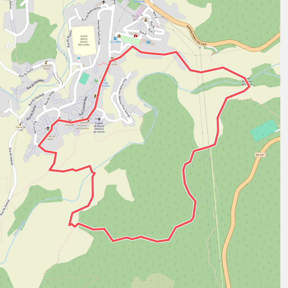
#6. Rota da Eira
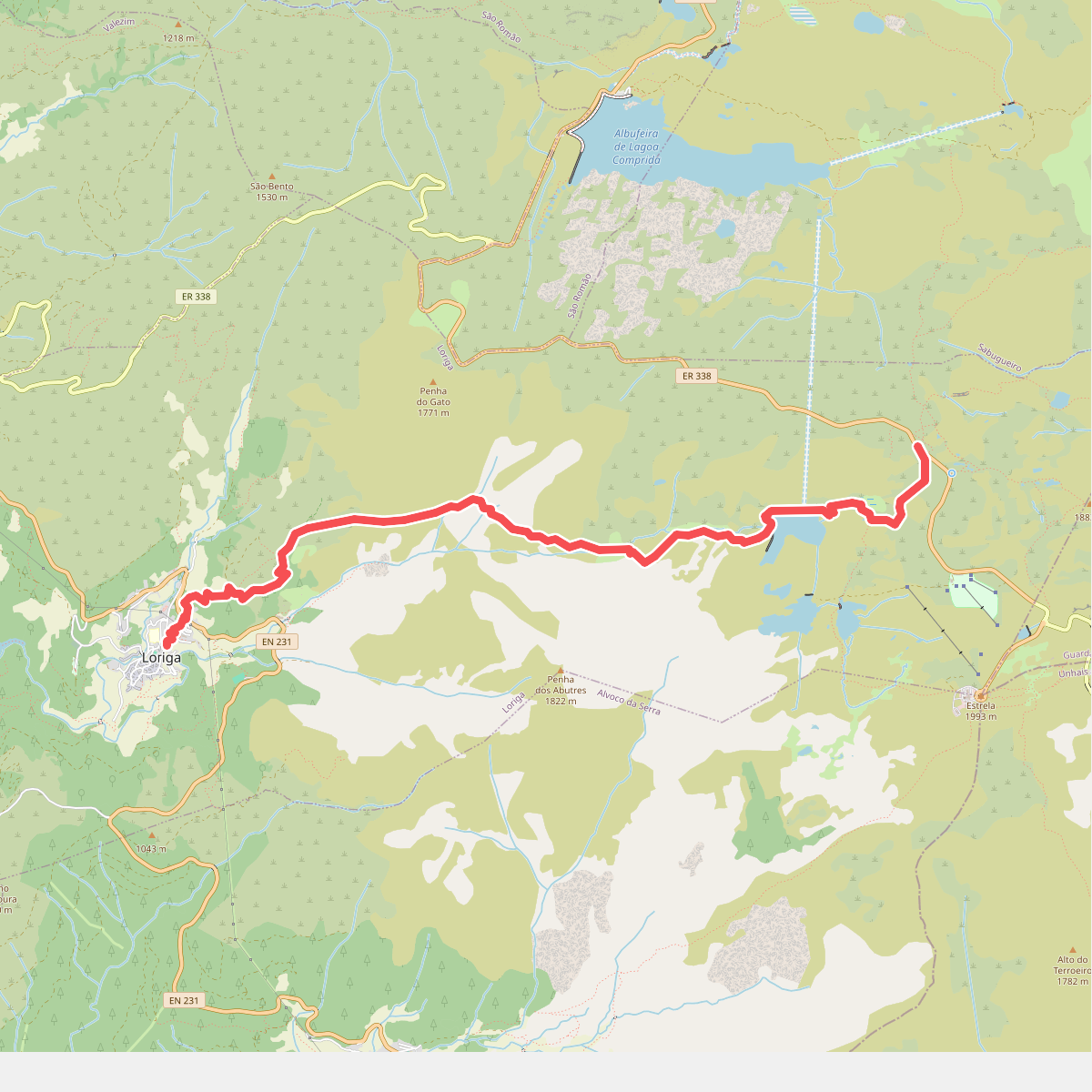
#7. Rota da Garganta de Loriga
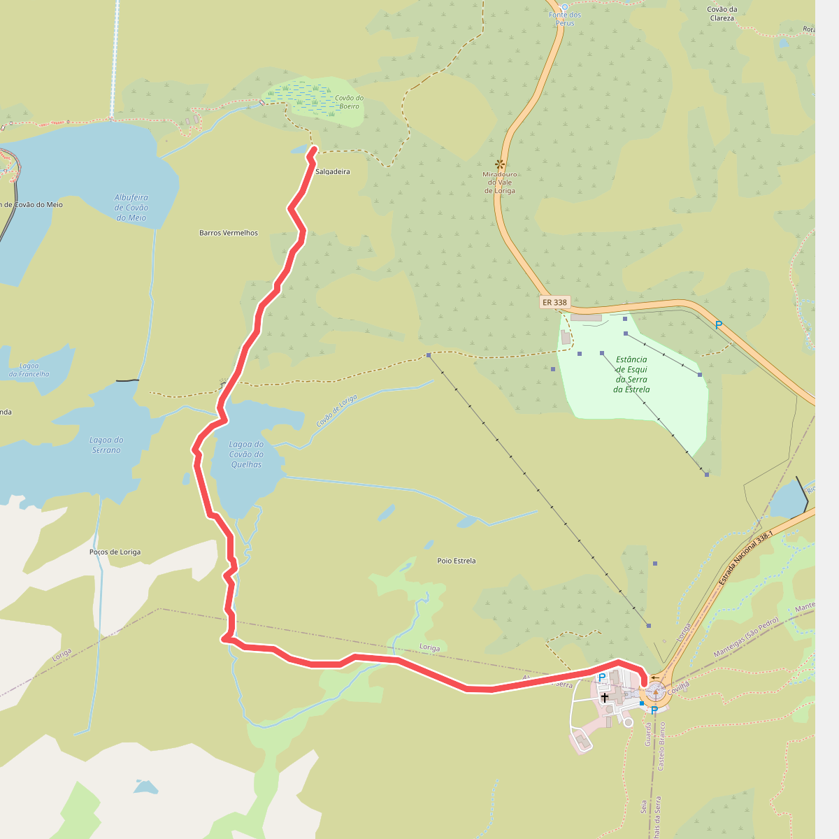
#8. Rota da Garganta de Loriga - Derivação Torre
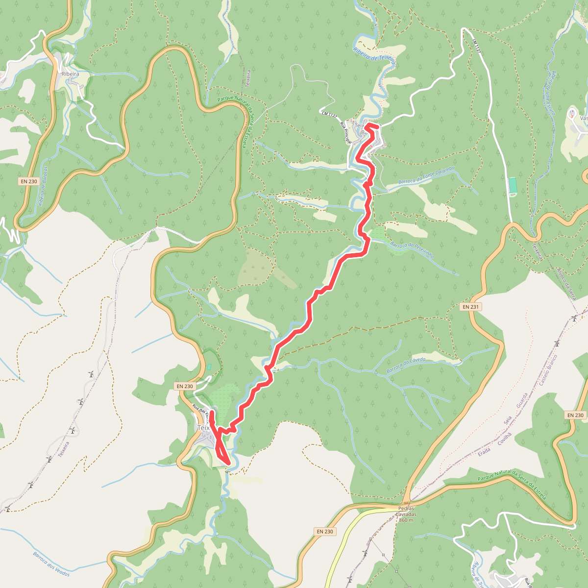
#9. Rota da Missa
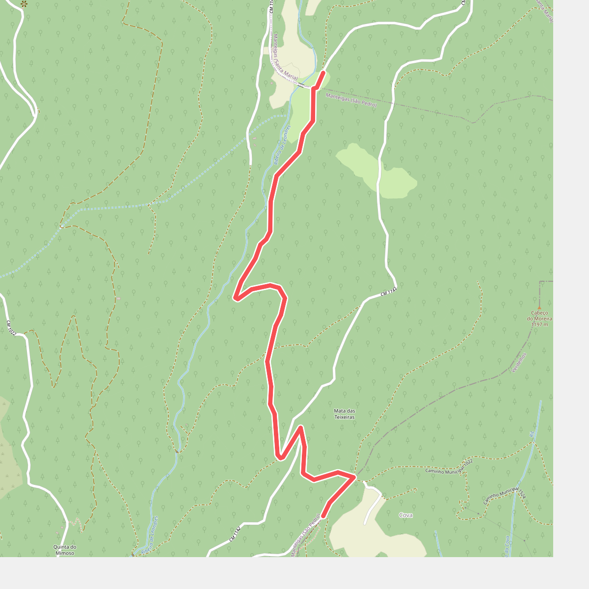
#10. Rota da Reboleira - Derivação
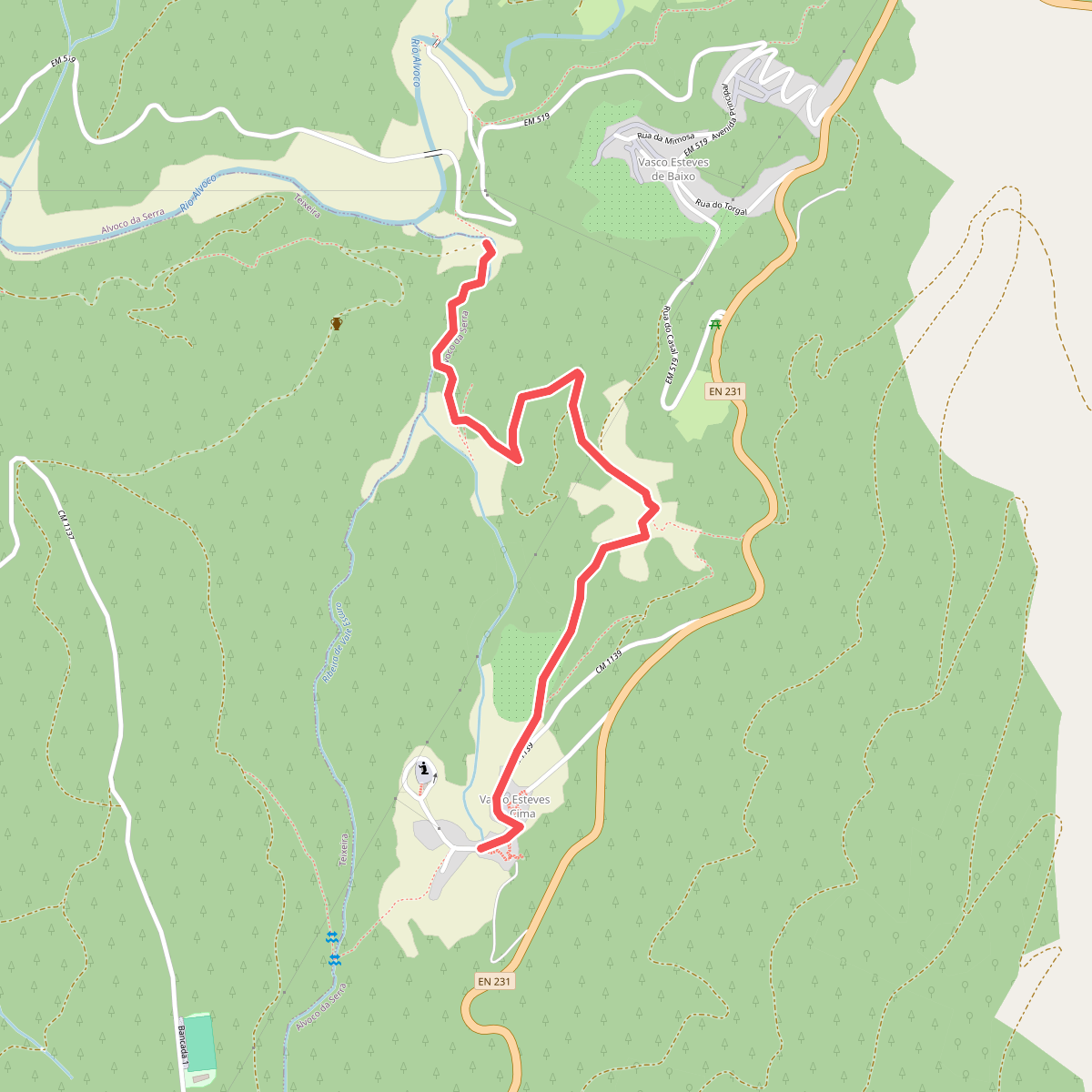
#11. Rota da Ribeira de Alvoco - Derivação