

The best hiking routes in Parque Nacional de Sierra Nevada
Discover the best walks in Parque Nacional de Sierra Nevada. 75 routes on the map, with descriptions, photos and GPX.
Managed by Junta de Andalucía
About Parque Nacional de Sierra Nevada
Parque Nacional de Sierra Nevada is defined by its extreme elevation and stark, high-altitude terrain. Unlike the lower, greener hills of southern Spain, this range features bare slate, schist, and limestone peaks that rise above three thousand metres. The lower slopes are characterised by agricultural terraces, olive groves, and dry pine forests, but as you ascend, the trees disappear. The high-altitude landscape is dominated by scree slopes, glacial lakes, and borreguiles, which are delicate, wet mountain meadows found along glacial streams.
Read more
About Parque Nacional de Sierra Nevada
Parque Nacional de Sierra Nevada is defined by its extreme elevation and stark, high-altitude terrain. Unlike the lower, greener hills of southern Spain, this range features bare slate, schist, and limestone peaks that rise above three thousand metres. The lower slopes are characterised by agricultural terraces, olive groves, and dry pine forests, but as you ascend, the trees disappear. The high-altitude landscape is dominated by scree slopes, glacial lakes, and borreguiles, which are delicate, wet mountain meadows found along glacial streams.
Read moreParque Nacional de Sierra Nevada is defined by its extreme elevation and stark, high-altitude terrain. Unlike the lower, greener hills of southern Spain, this range features bare slate, schist, and limestone peaks that rise above three thousand metres. The lower slopes are characterised by agricultural terraces, olive groves, and dry pine forests, but as you ascend, the trees disappear. The high-altitude landscape is dominated by scree slopes, glacial lakes, and borreguiles, which are delicate, wet mountain meadows found along glacial streams.
Underfoot, the trails vary significantly by altitude. Lower paths consist of dusty dirt tracks and stony mule paths through dry scrub. Higher up, the terrain shifts to loose shale, steep scree, and rugged bedrock where the trail is often marked only by stone cairns. In late spring, typically around May and June, the melting snow feeds the high meadows, creating boggy patches of ground amidst the otherwise dry, rocky slopes.
This park is not a place for gentle, shaded forest walks. It is a demanding mountain environment with steep climbs and exposed ridges. While the main trails up to Mulhacen can become busy with hikers during the summer months, the vast network of high-altitude paths offers a rugged, austere landscape where the vegetation is low and resilient, adapted to the harsh alpine conditions.
Hiking routes in Parque Nacional de Sierra Nevada (75)
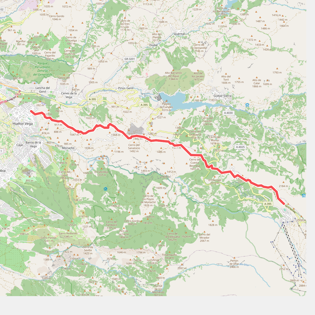
#1. Cañada Real de los Neveros
Huétor Vega,Cenes de la Vega,Monachil,Pinos Genil,Güéjar Sierra
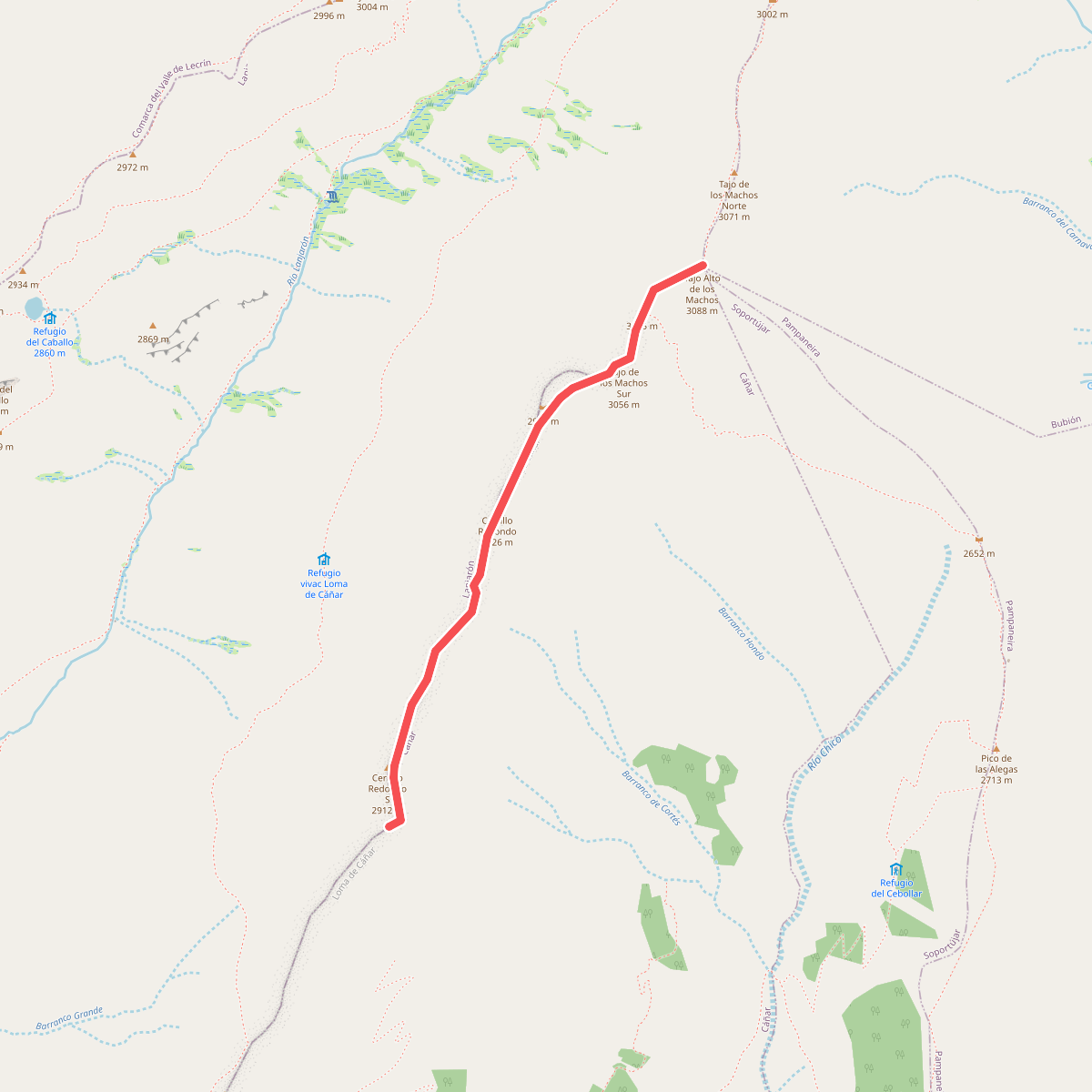
#2. Cañada Real de Sierra Nevada
Lanjarón,Cáñar
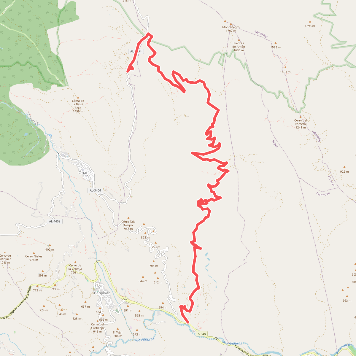
#3. Canjáyar - Ermita de Tices
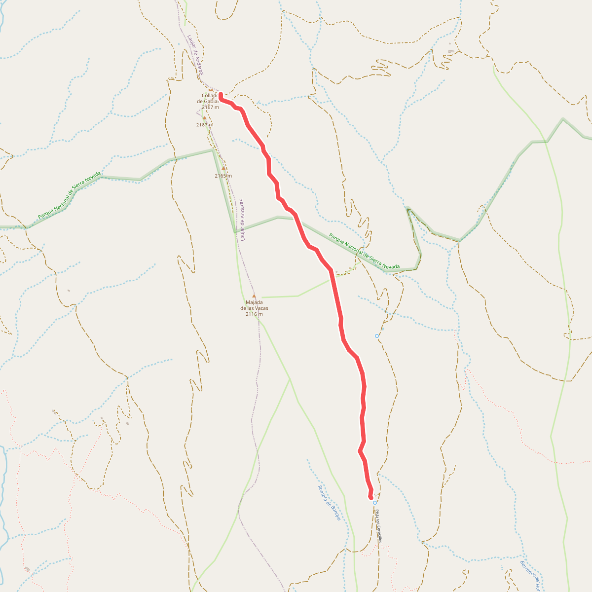
#4. Cerecillo - La Gabiarra
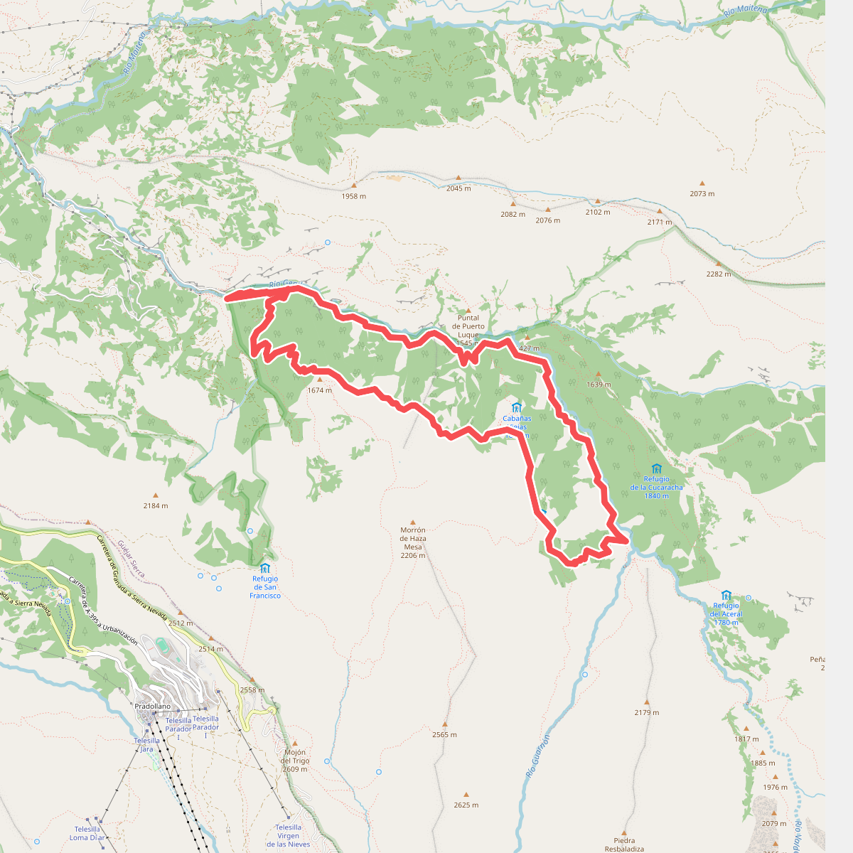
#5. Cortijos del Hornillo
Güéjar Sierra
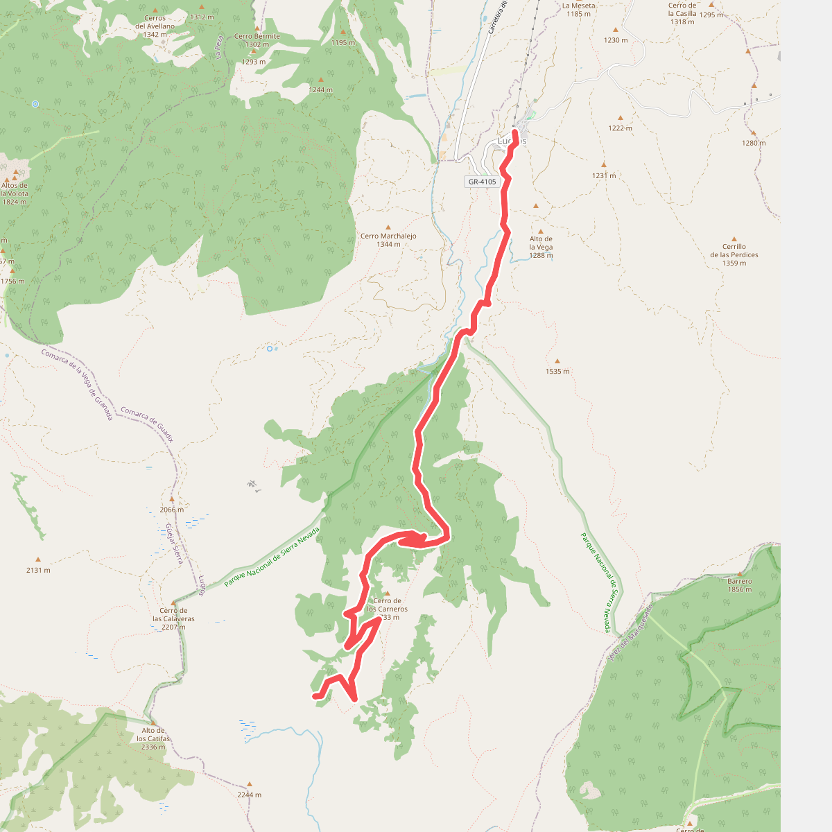
#6. Dehesa del Camarate
Lugros
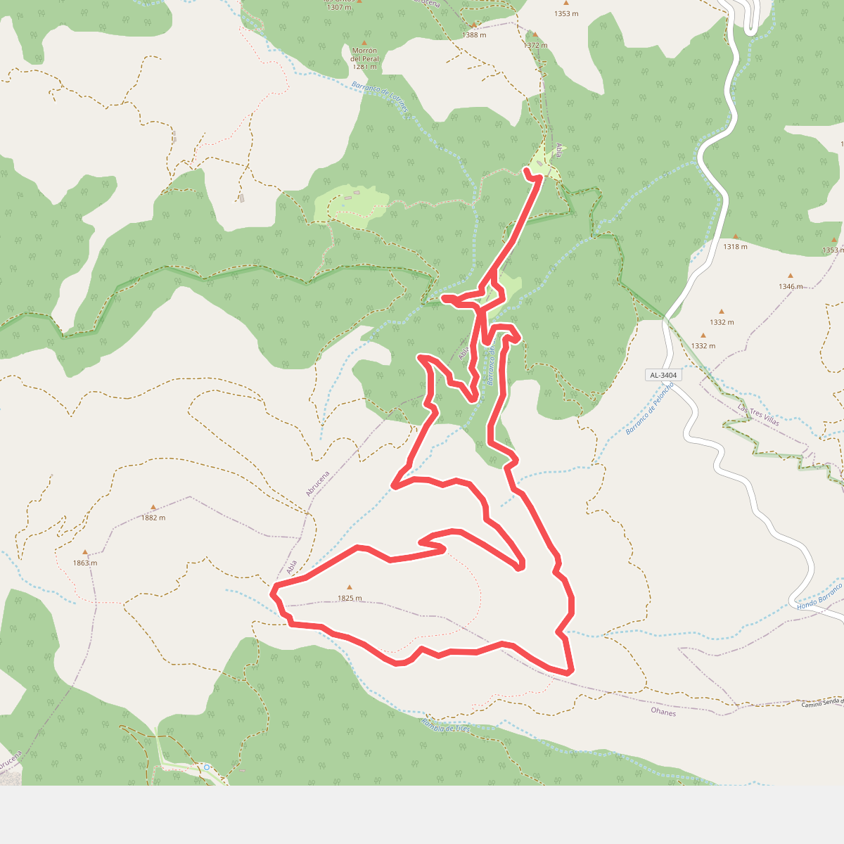
#7. El Serbal - Cerrón de Guzmán - El Serbal
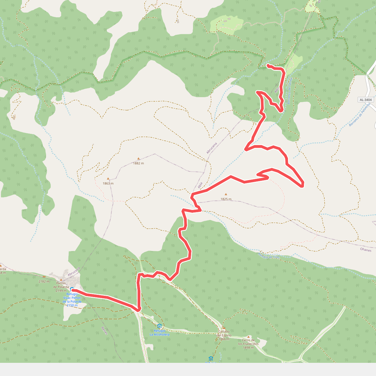
#8. El Serbal - La Polarda
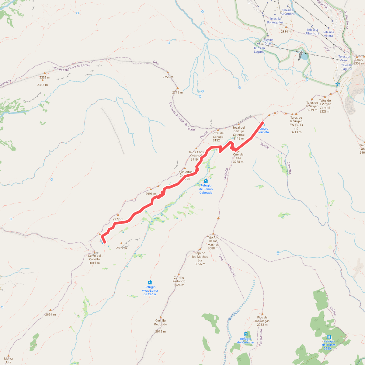
#9. Elorrieta - Laguna Caballo (Verea Cortá)
Capileira,Lanjarón
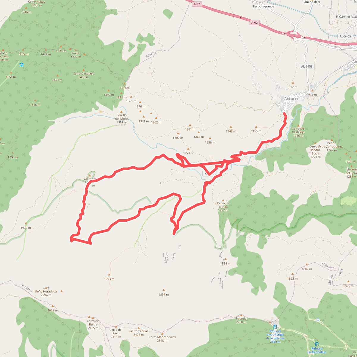
#10. Encinar de Abrucena
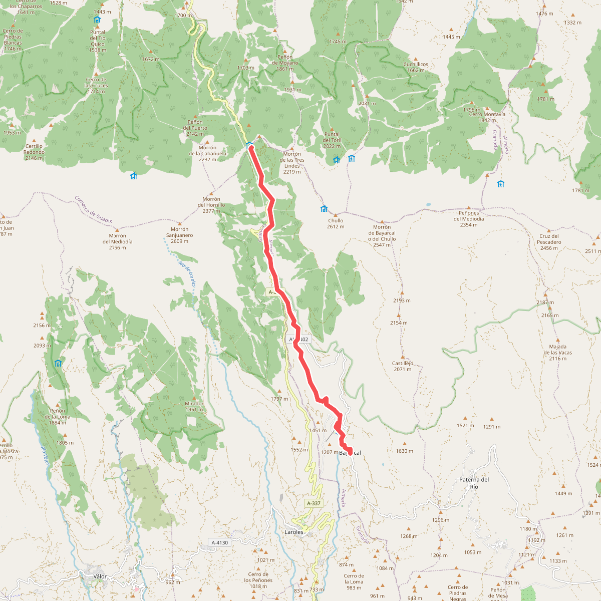
#11. GR-140 Puerto de la Ragua - Cabo de Gata · GR 140
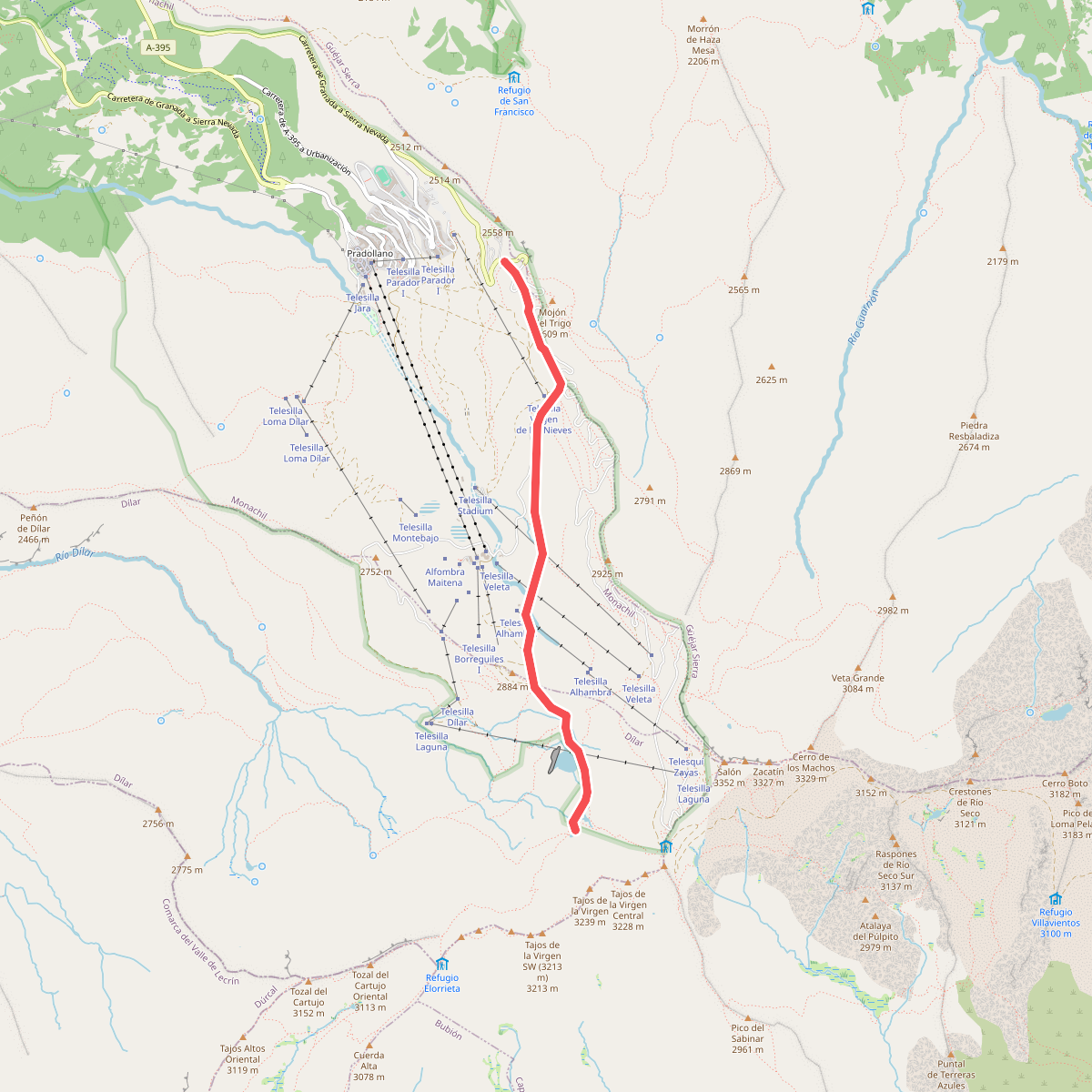
#12. Hoya de la Mora - Lagunillos de la Virgen
Monachil,Güéjar Sierra,Dílar



